Elevation of Middle Camp Sugarpine Rd, Twain Harte, CA, USA
Location: United States > California > Tuolumne County >
Longitude: -120.20166
Latitude: 38.058402
Elevation: 1361m / 4465feet
Barometric Pressure: 86KPa
Elevation Map:
Satellite Map:
Related Photos:

Sanding tower
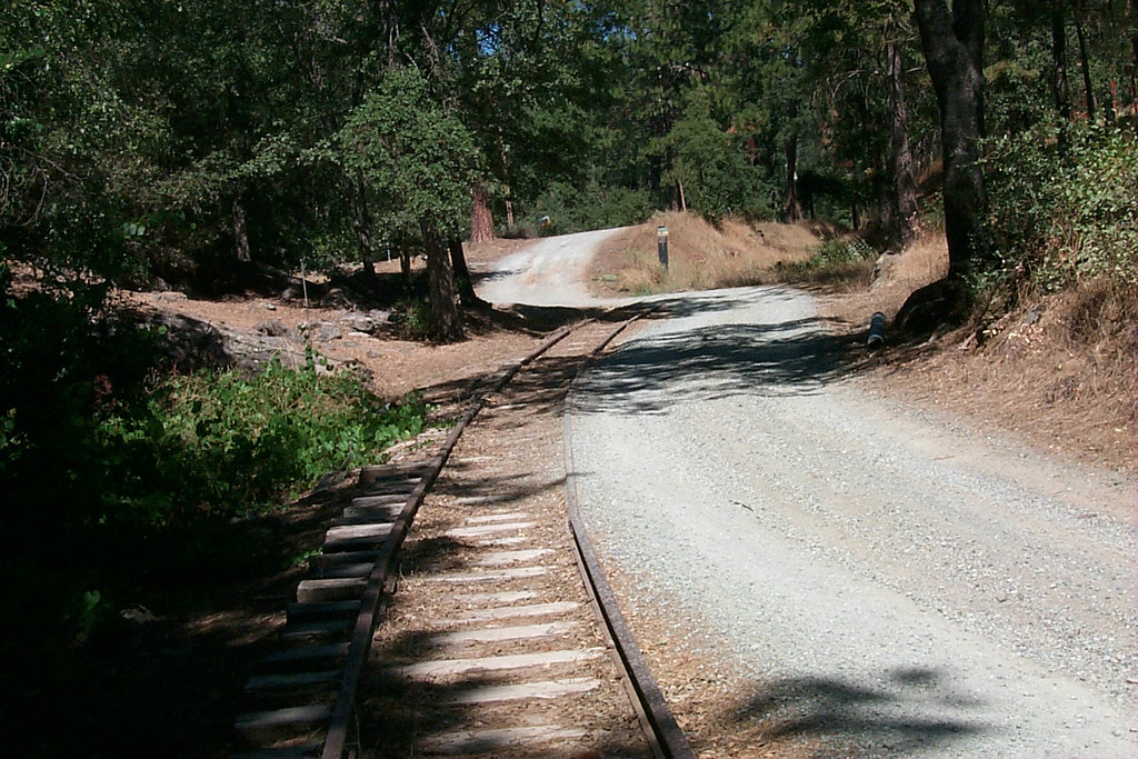
View along the trackbed
View along the trackbed
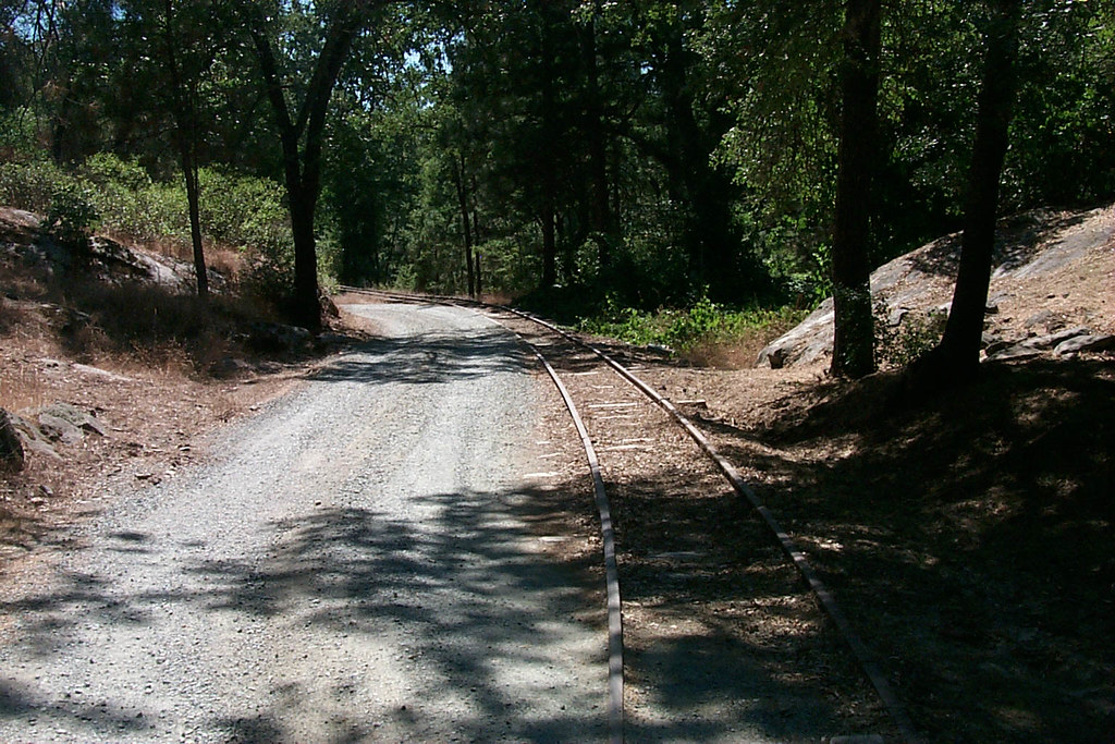
View along the trackbed
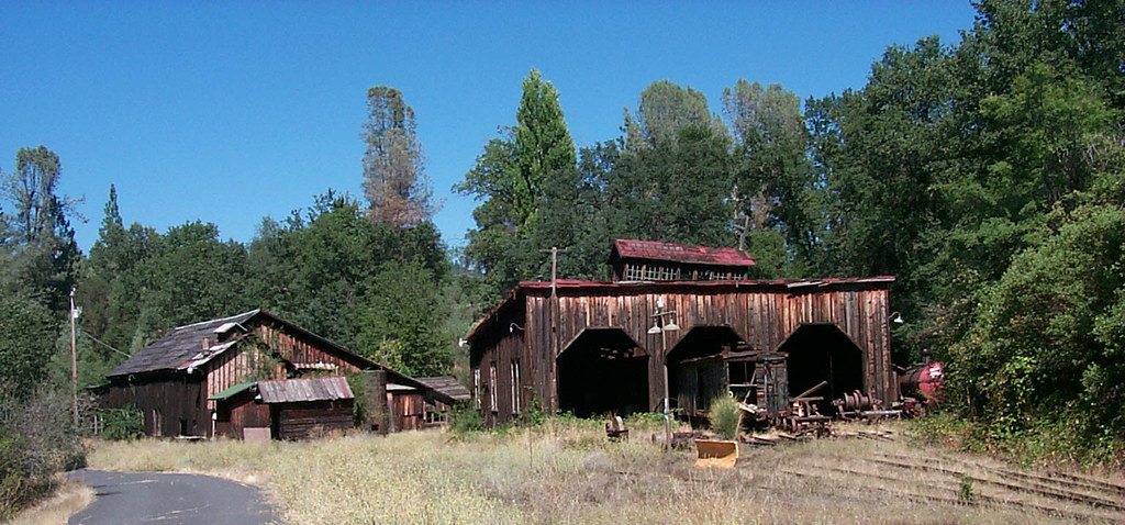
The shops from the south
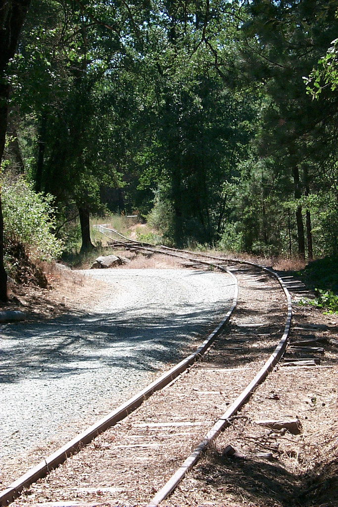
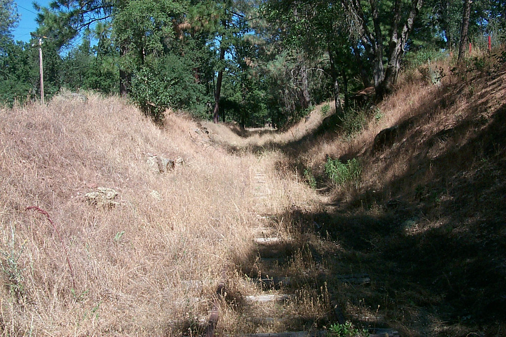
View along the trackbed

View along the trackbed
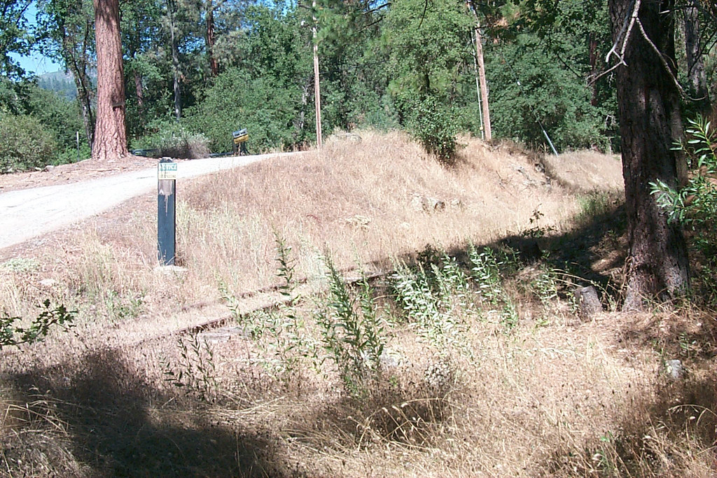
View along the trackbed
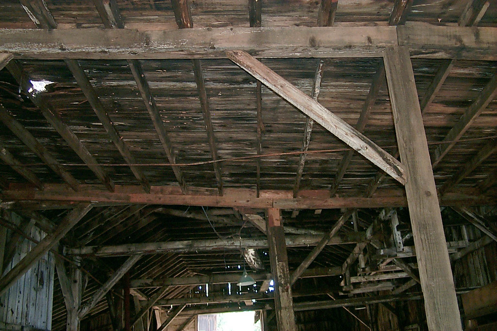
Underside of the shed roof
a1976-010
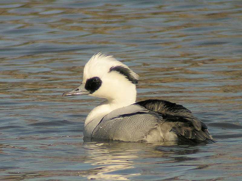
Smew - male
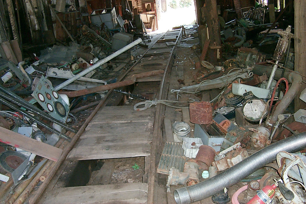
Floor of the car shop

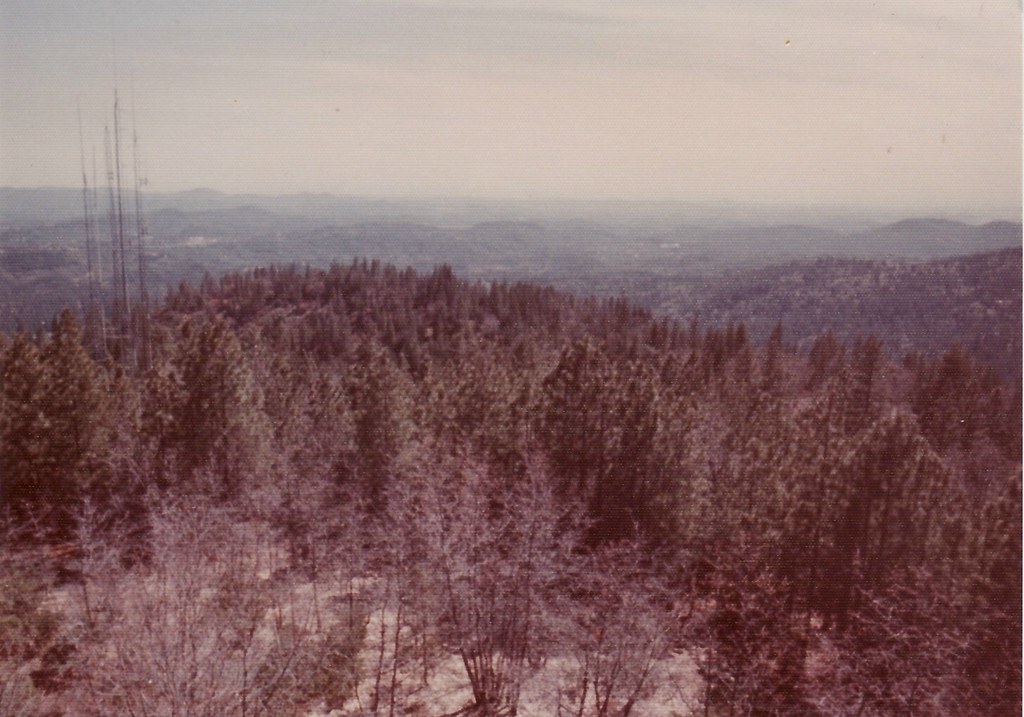
With shade, but now you can't see the snow or the view
a1976-009
a1977-01-09
a1978-01-10
a1978-01-09
a1976-011
a1978-01-08

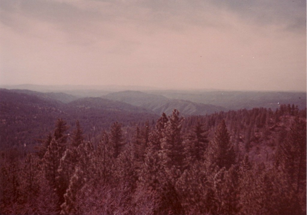
Nice view in service outside Tuolumne
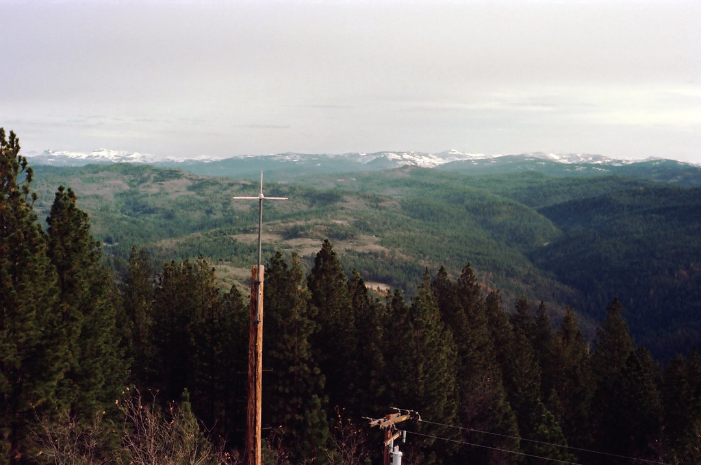
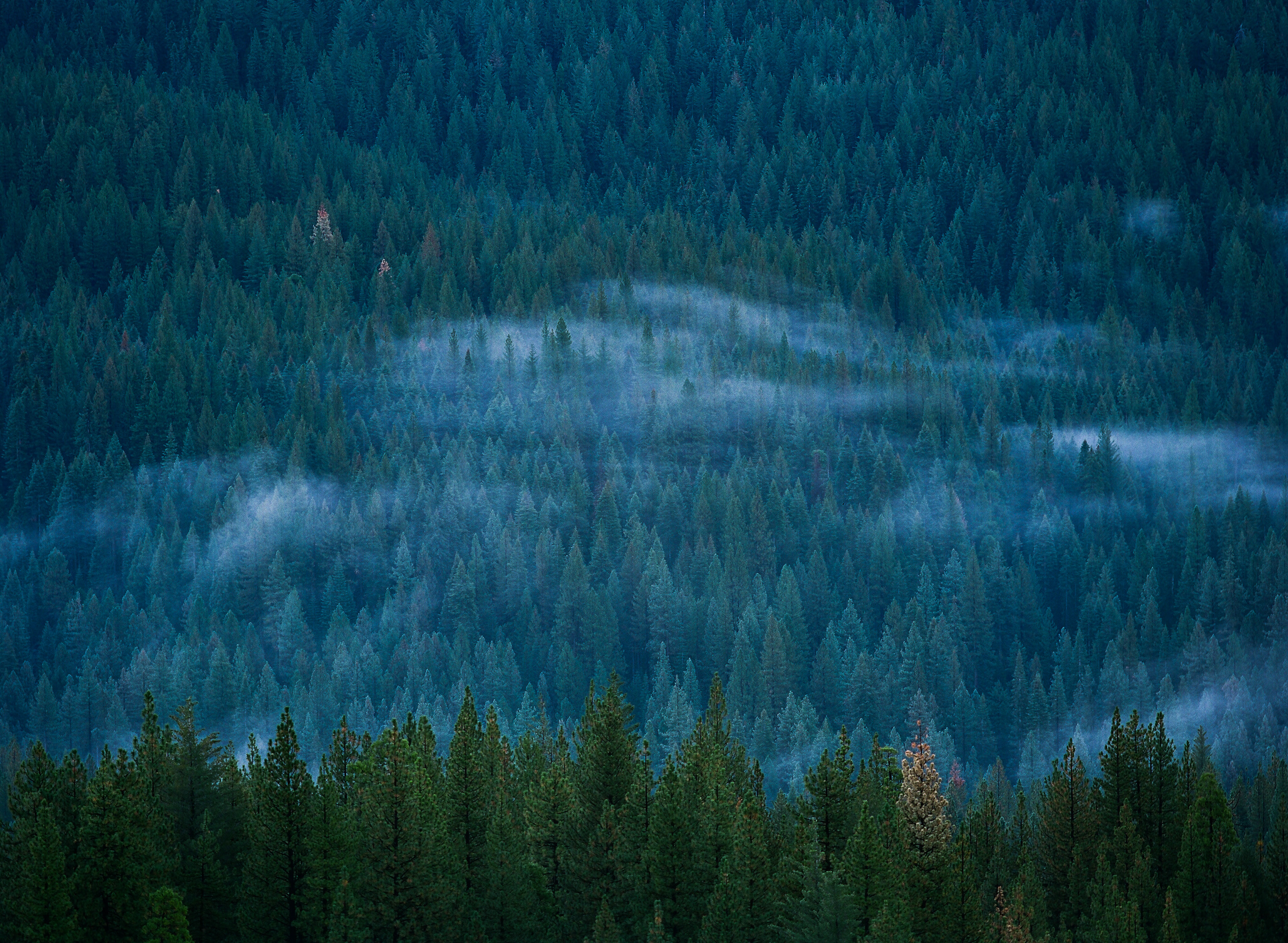
Above the trees at 5,000 feet...
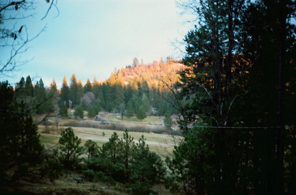
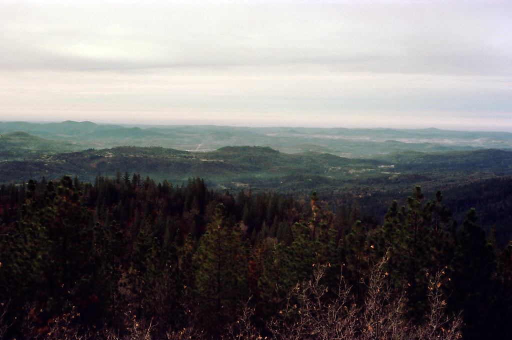
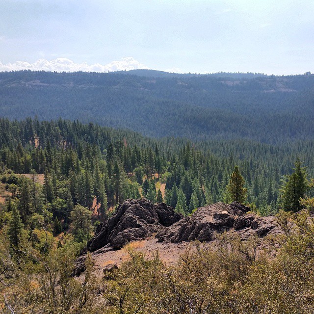
Forest for the Trees
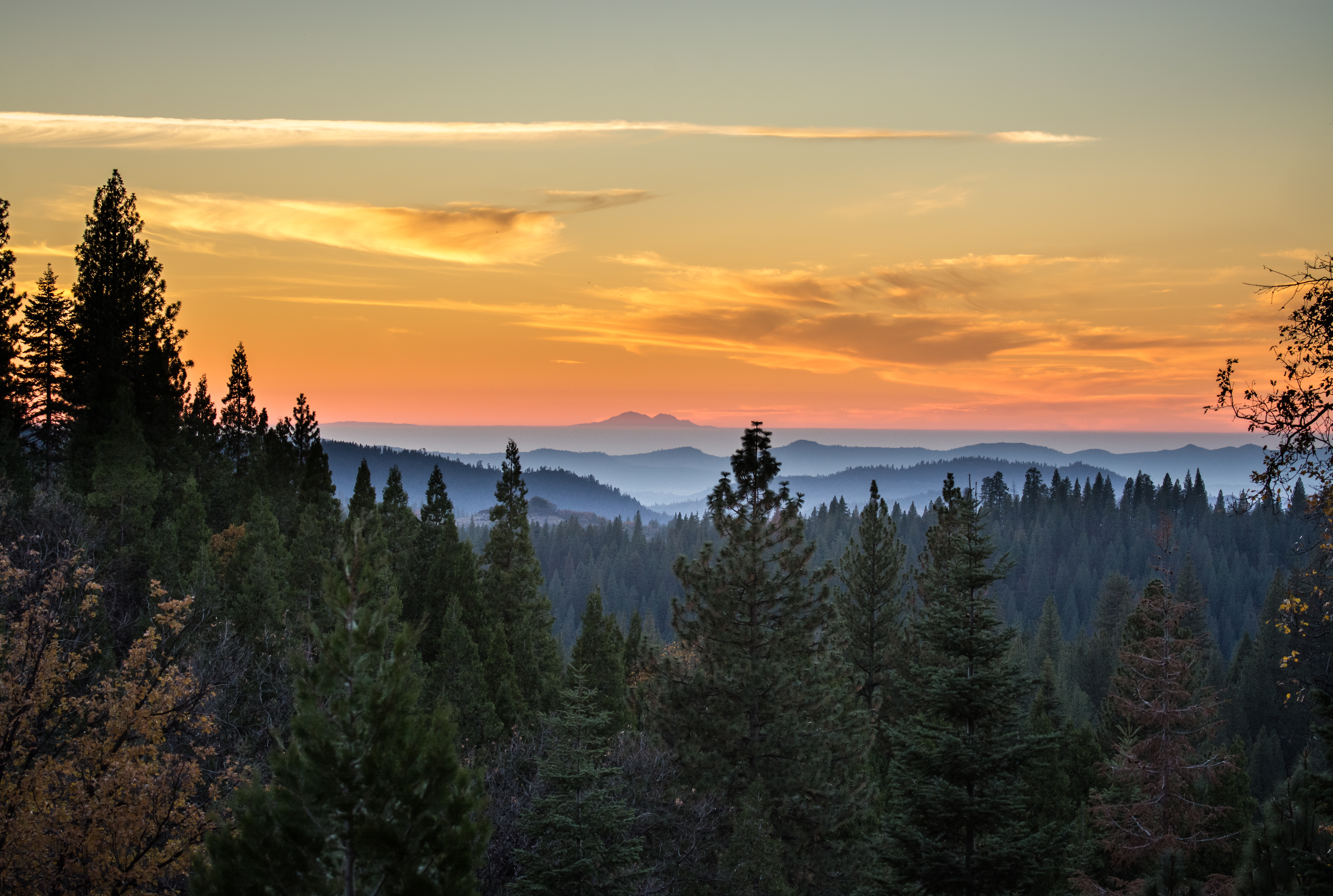
Sierra Sunset
#yosemite #roadtrip #usa
.

_8110061.NEF
little break in the weather.
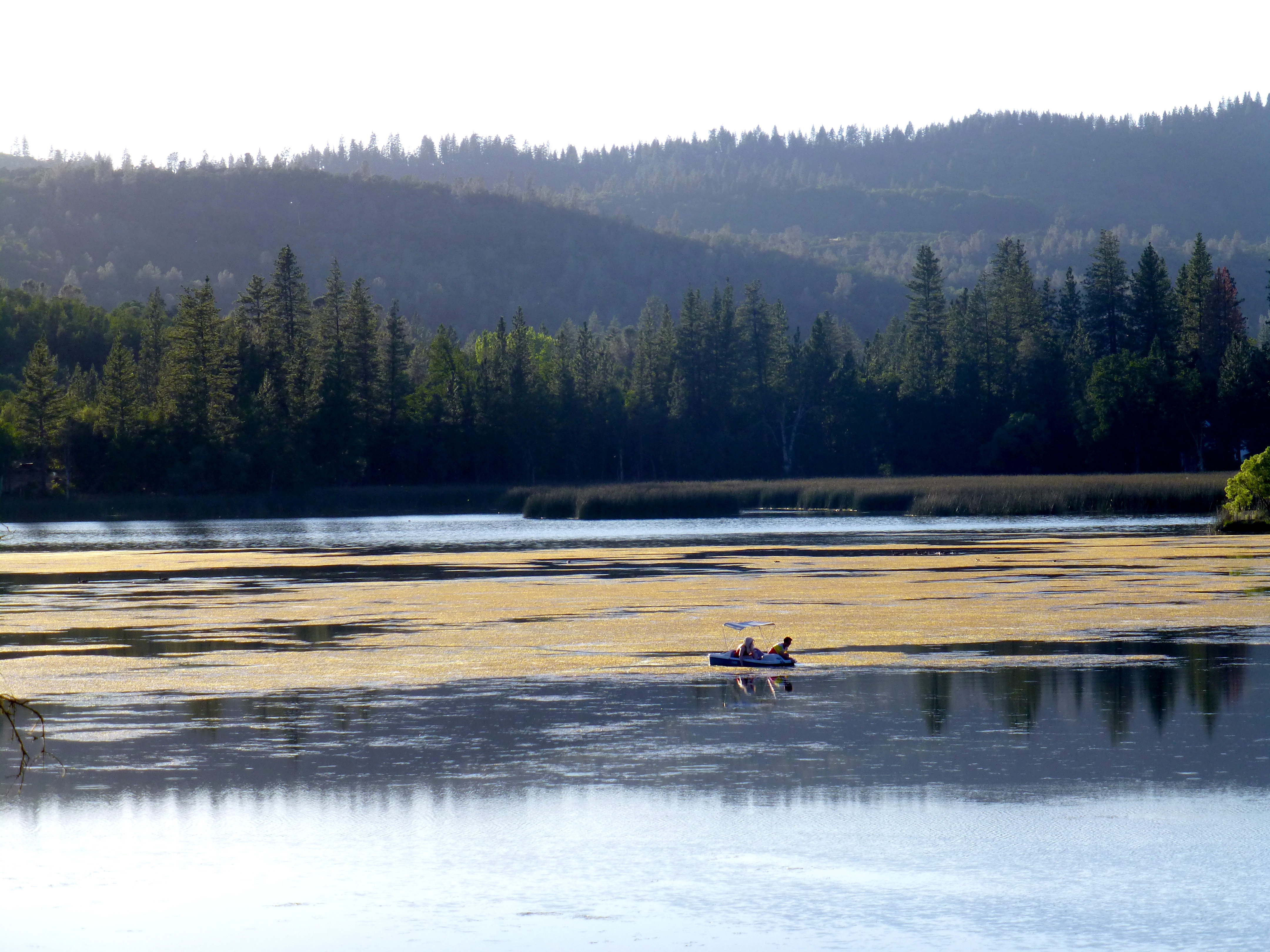
Beautiful lake

_8110058.NEF
The Old Dam

a1978-01-02
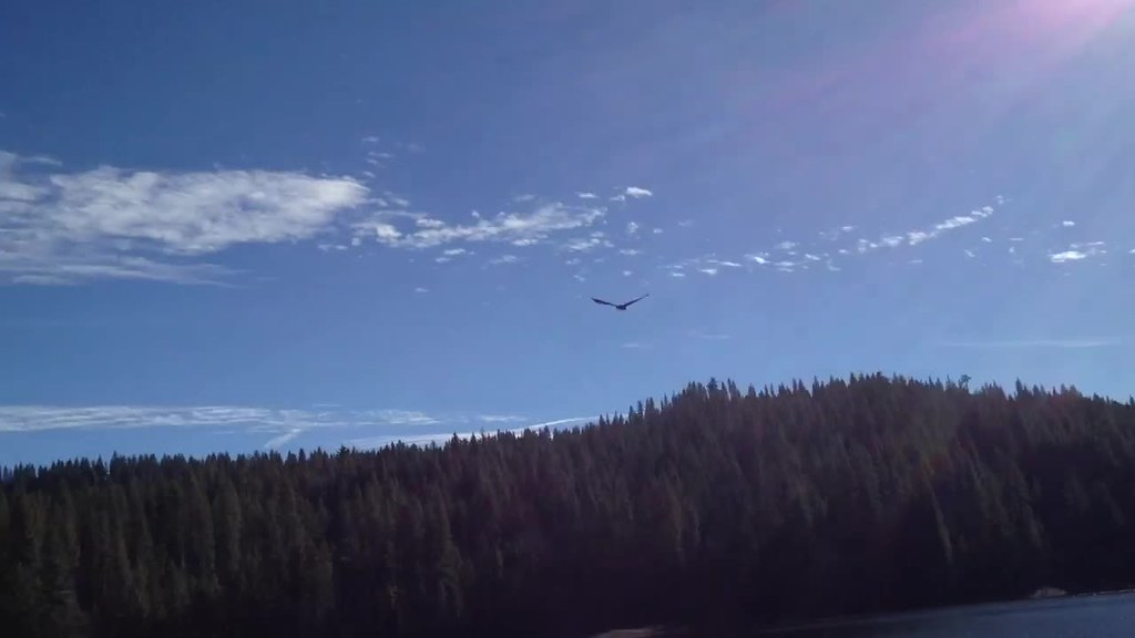
Bald Eagle flying over lake

_8110060.NEF
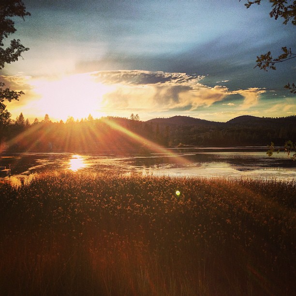
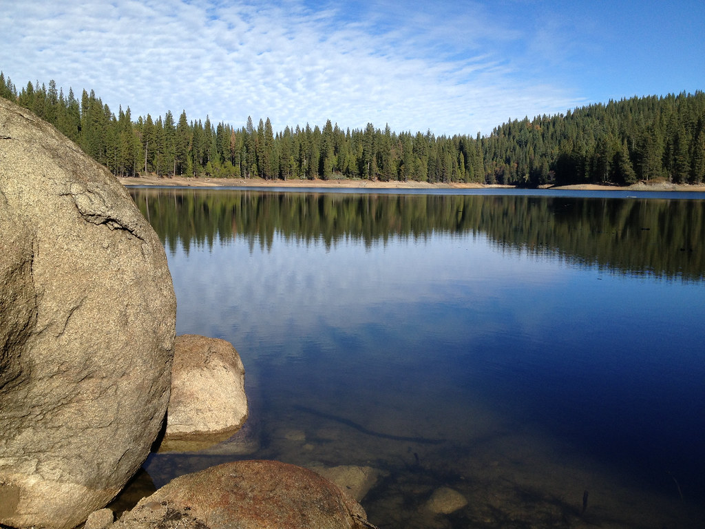
Phoenix Lake near Sonora, CA
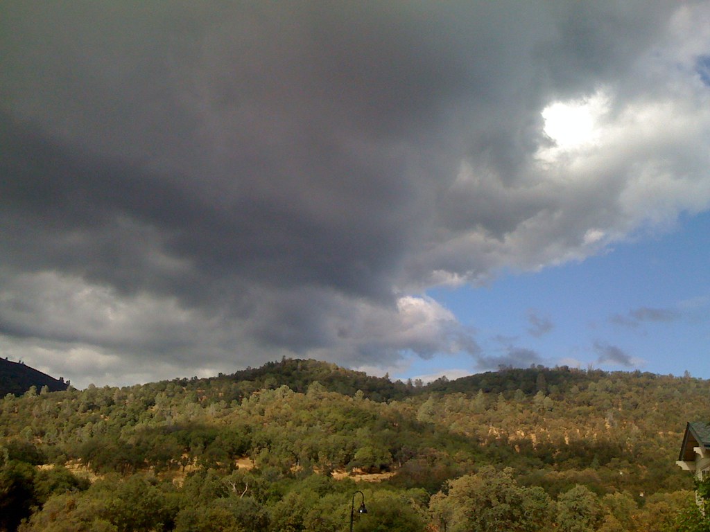
Rain and sunshine

The Chill at Dawn
Beautiful lake
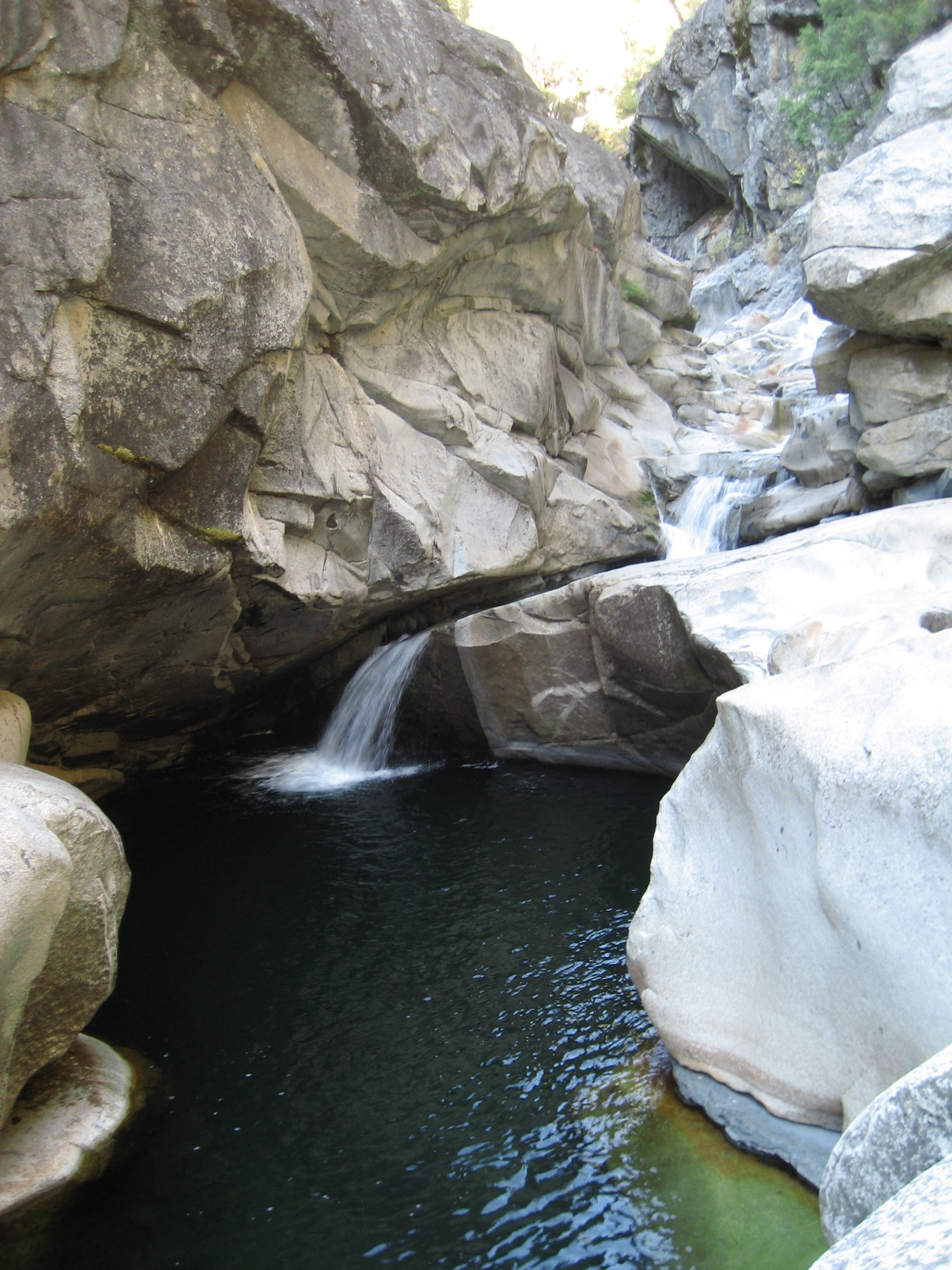
God's Bath, Clavey River (Sonora, CA)
Topographic Map of Middle Camp Sugarpine Rd, Twain Harte, CA, USA
Find elevation by address:

Places near Middle Camp Sugarpine Rd, Twain Harte, CA, USA:
19920 Middle Camp Sugarpine Rd
24005 Crossley Way
23895 Leisure Dr
23978 Pine Lake Dr
20163 Manzanita St
19920 Michigan Dr
Kreitzer Way, Twain Harte, CA, USA
23700 Confidence-south Fork Rd
Confidence
23300 Coffill Rd
20087 Davis Flat Rd
Michigan Drive
19345 Superior Dr
20636 Hekeke Ln
Wuke Lane
Redneck Ridge Rd, Twain Harte, CA, USA
Superior Drive
24671 Ca-108
20735 Haiapo Rd
Mi-wuk Village
Recent Searches:
- Elevation of Corso Fratelli Cairoli, 35, Macerata MC, Italy
- Elevation of Tallevast Rd, Sarasota, FL, USA
- Elevation of 4th St E, Sonoma, CA, USA
- Elevation of Black Hollow Rd, Pennsdale, PA, USA
- Elevation of Oakland Ave, Williamsport, PA, USA
- Elevation of Pedrógão Grande, Portugal
- Elevation of Klee Dr, Martinsburg, WV, USA
- Elevation of Via Roma, Pieranica CR, Italy
- Elevation of Tavkvetili Mountain, Georgia
- Elevation of Hartfords Bluff Cir, Mt Pleasant, SC, USA