Elevation of Methwada, Madhya Pradesh, India
Location: India > Madhya Pradesh > Indore >
Longitude: 75.5567821
Latitude: 22.6553998
Elevation: 533m / 1749feet
Barometric Pressure: 95KPa
Elevation Map:
Satellite Map:
Related Photos:
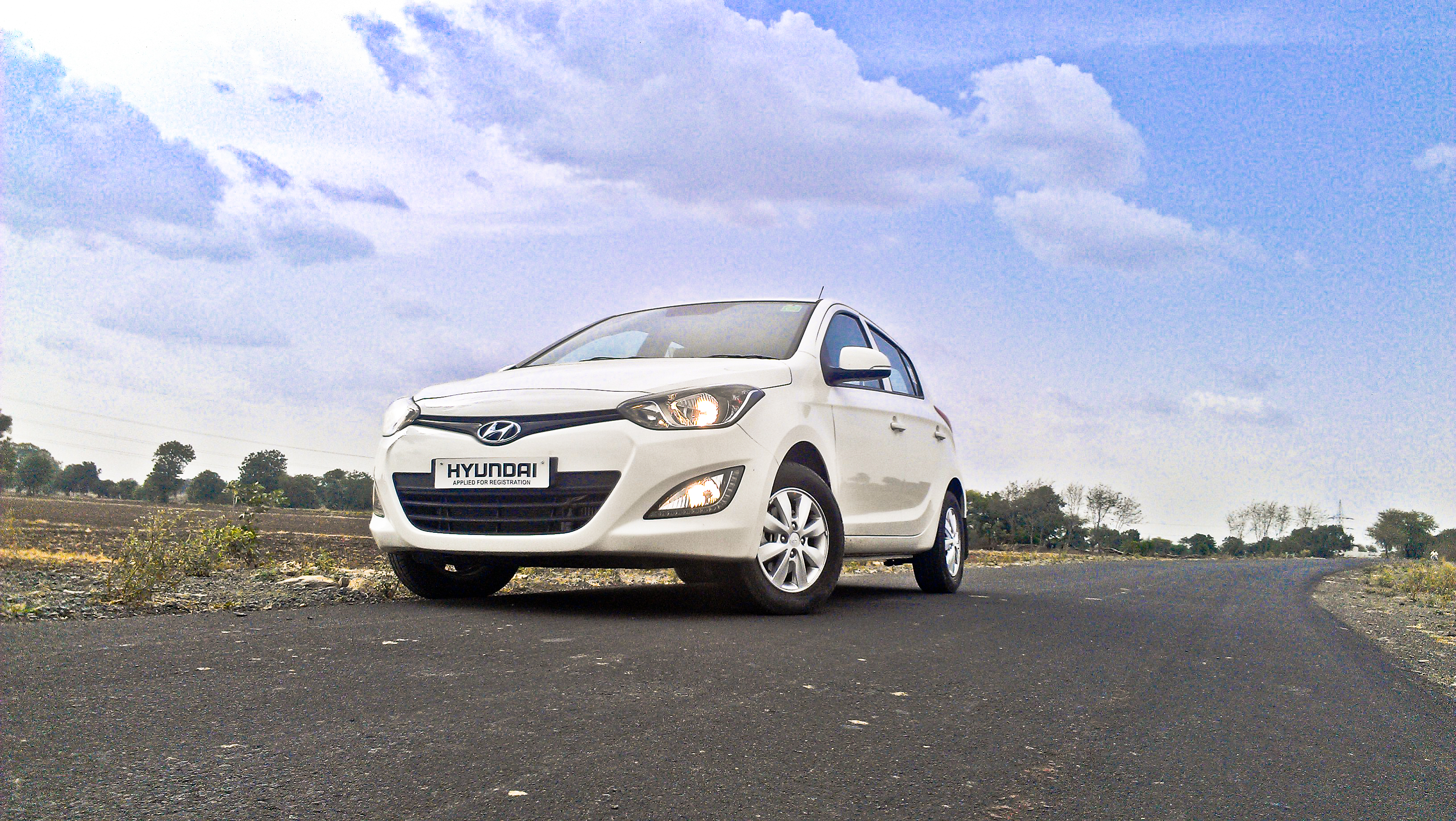
Automobile photography.
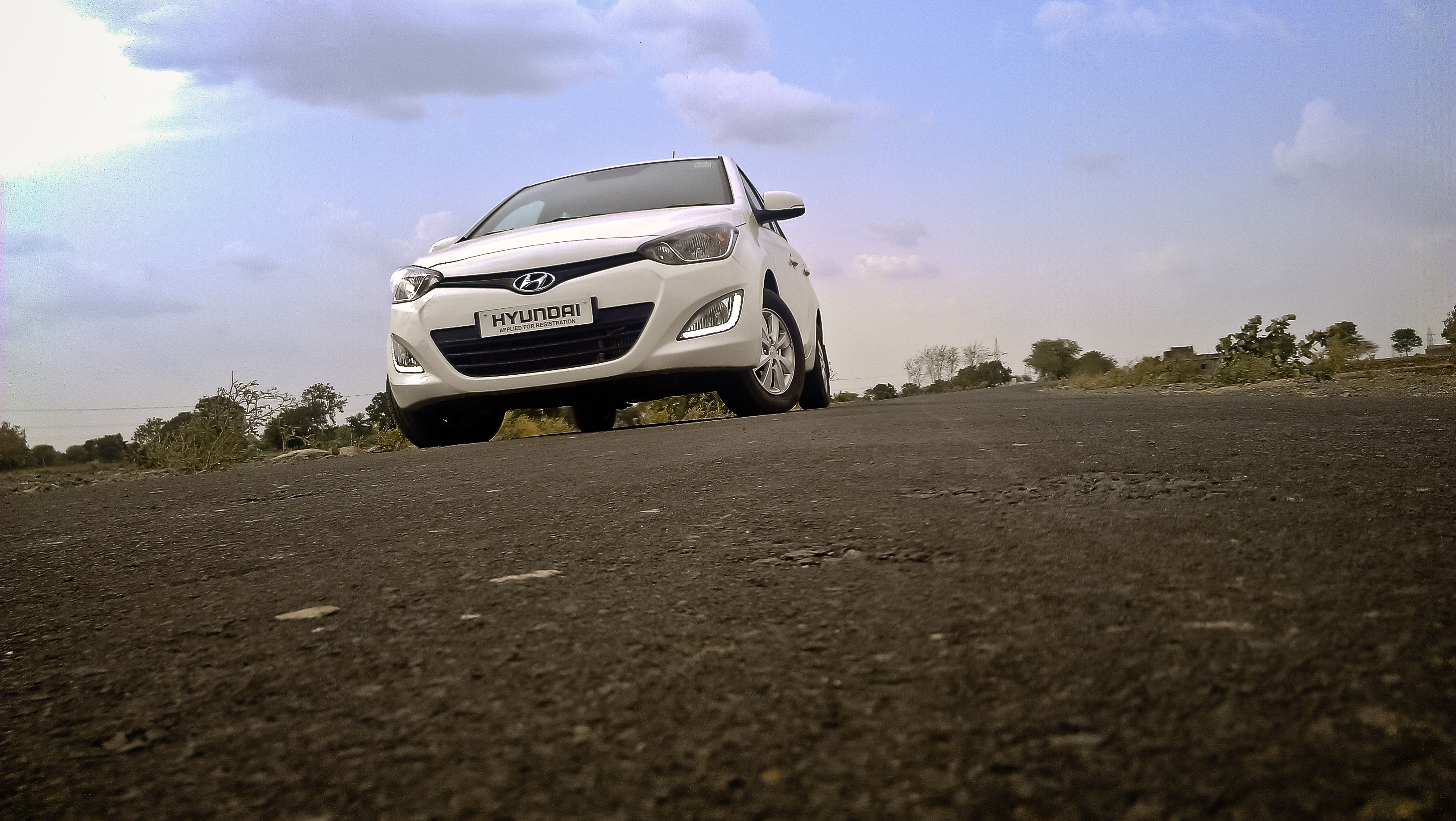
Automobile photography.
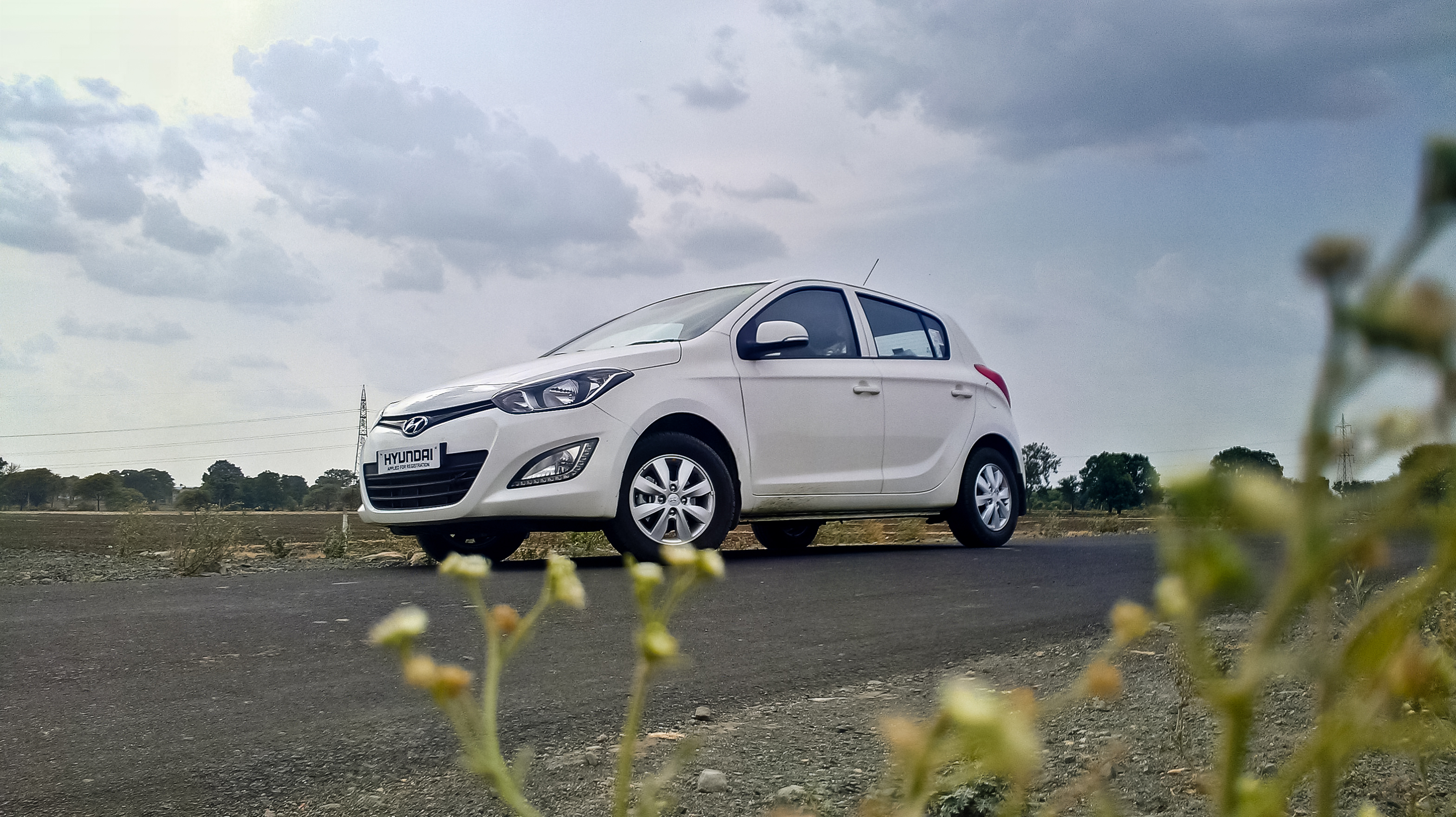
Automobile photography.
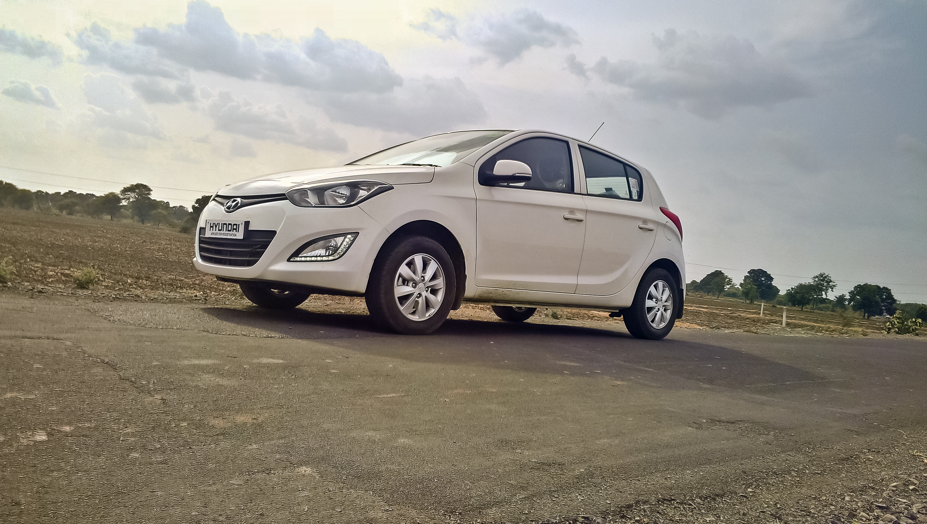
Automobile photography.

#rahulimmy #imissyou #Laddu

#rahulimmy

#textgram #rahulimmy

#good_morning #rahulimmy

#RahuLimMy #getbored #timepass #exams #travelling #depressed #alone #missingyou
Canvas and rope
Special economic zone
Topographic Map of Methwada, Madhya Pradesh, India
Find elevation by address:

Places near Methwada, Madhya Pradesh, India:
Machal
Pithampur
Sitapat
Chander
Takipura
Murkheda
Depalpur
Giriraj Farms
Fulkaradiya
Navdapanth
Mhow
Hatod
Dhamma Malwa Vipassana Meditation Centre
Budhaniya
Gandhi Nagar
Ataheda
Dhar
Harsola
Khargone - Indore Highway
Indore
Recent Searches:
- Elevation of Summit Dr, Kerrville, TX, USA
- Elevation of Hanson Rd, Cedaredge, CO, USA
- Elevation of Maxine St NE, Albuquerque, NM, USA
- Elevation of Blattner Rd, Philo, CA, USA
- Elevation of Polzela, Slovenia
- Elevation of Gorod Kislovodsk, Stavropol Krai, Russia
- Elevation of Kislovodsk, Stavropol Krai, Russia
- Elevation of Eagle Stone Drive, Eagle Stone Dr, The Preserve at Corkscrew, FL, USA
- Elevation of Formby Ct, Myrtle Beach, SC, USA
- Elevation of Hobbyhorse Ct, Dover, DE, USA