Elevation of Meshgin Shahr, Ardabil Province, Iran
Location: Iran >
Longitude: 47.6648487
Latitude: 38.394829
Elevation: 1419m / 4655feet
Barometric Pressure: 85KPa
Elevation Map:
Satellite Map:
Related Photos:
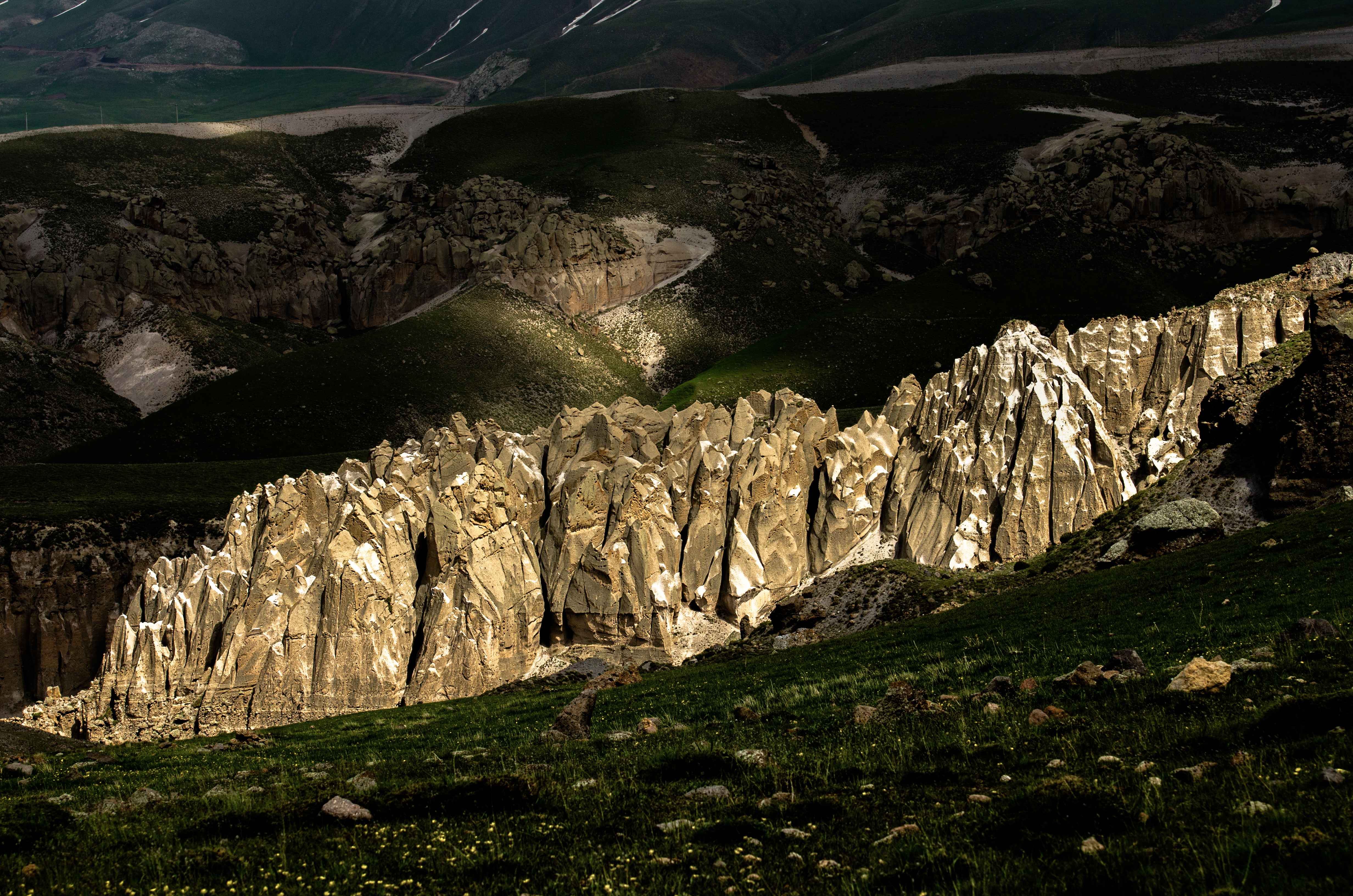
KNA_4884

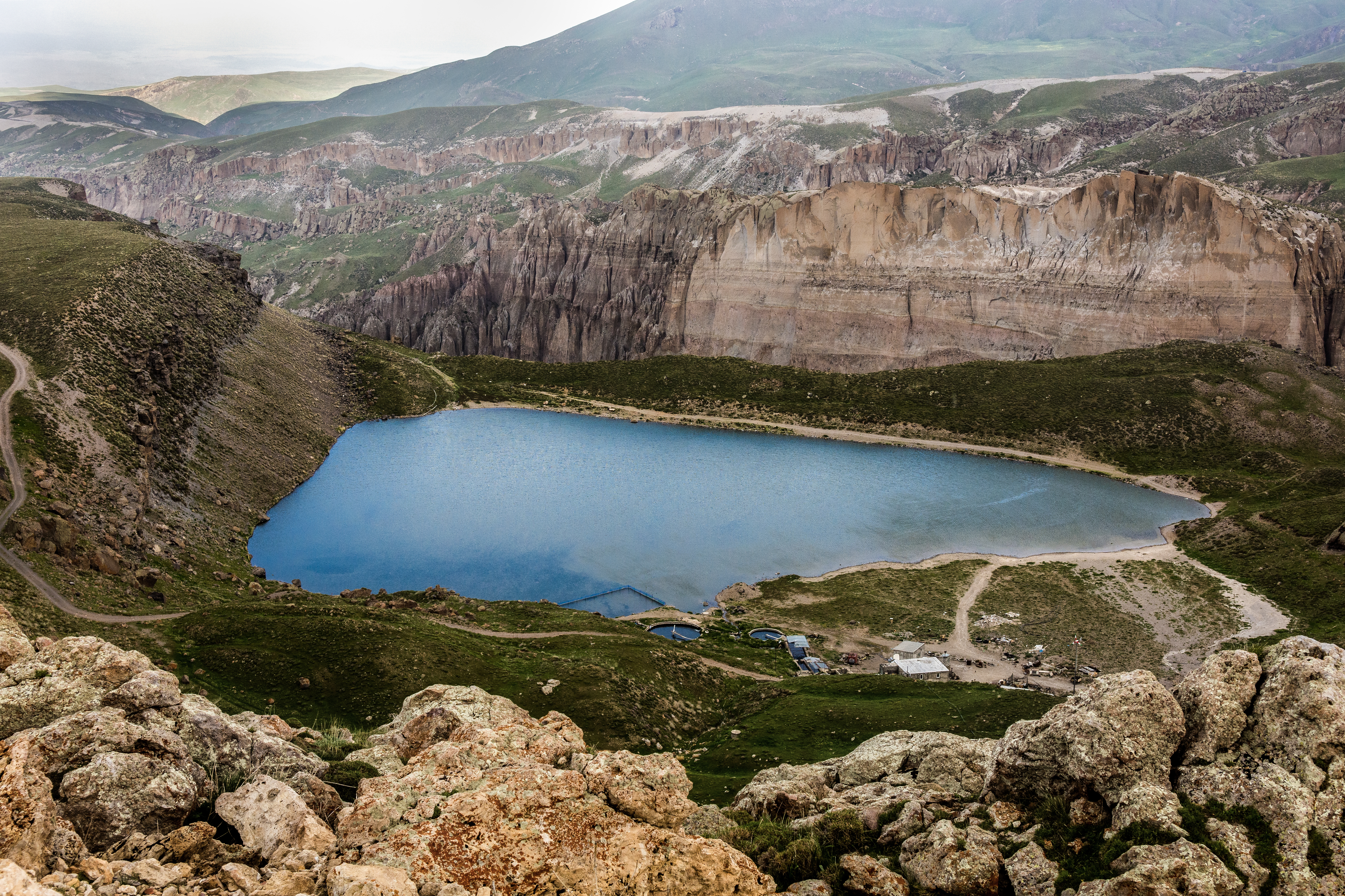
DSC_4489

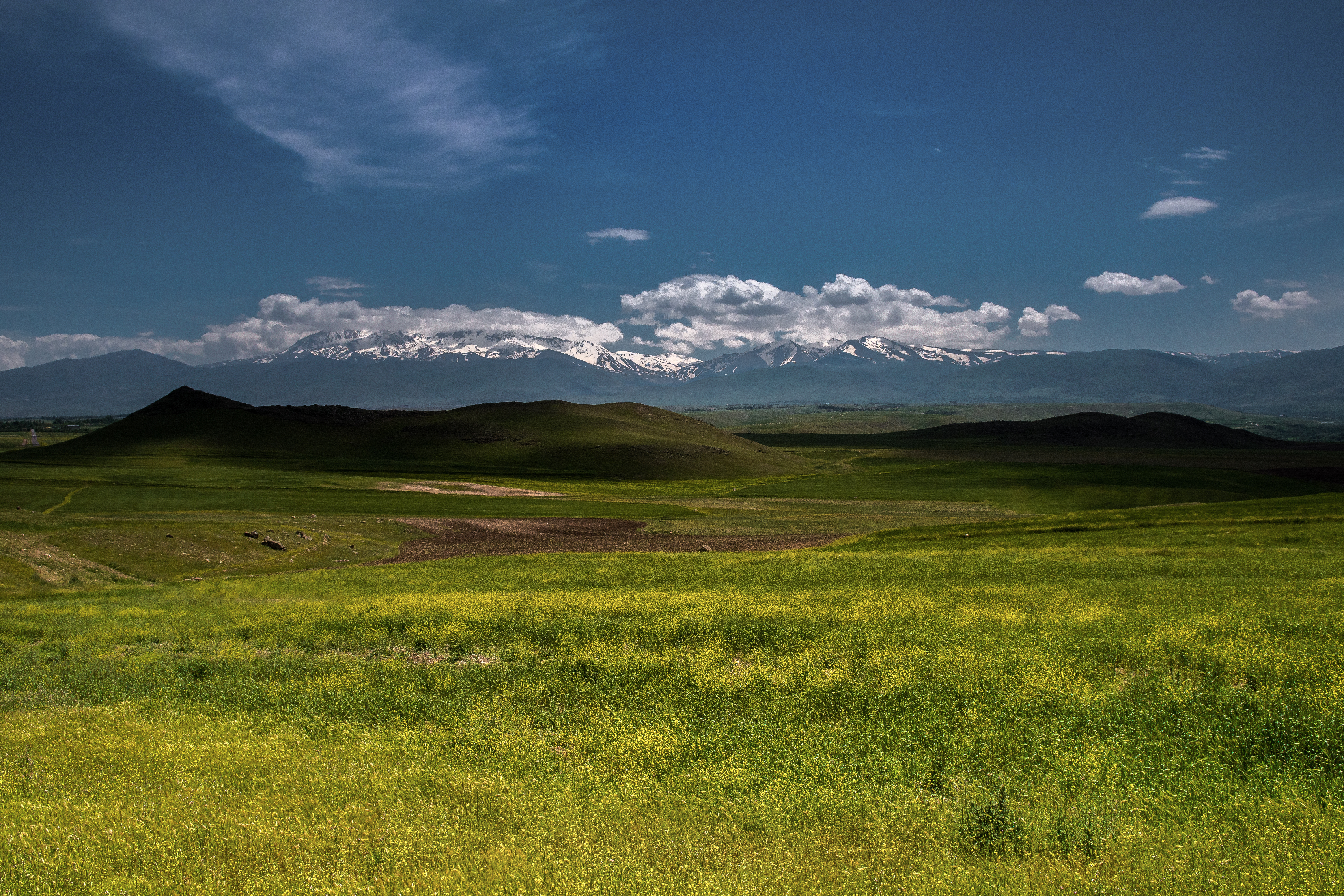
KNA_5305

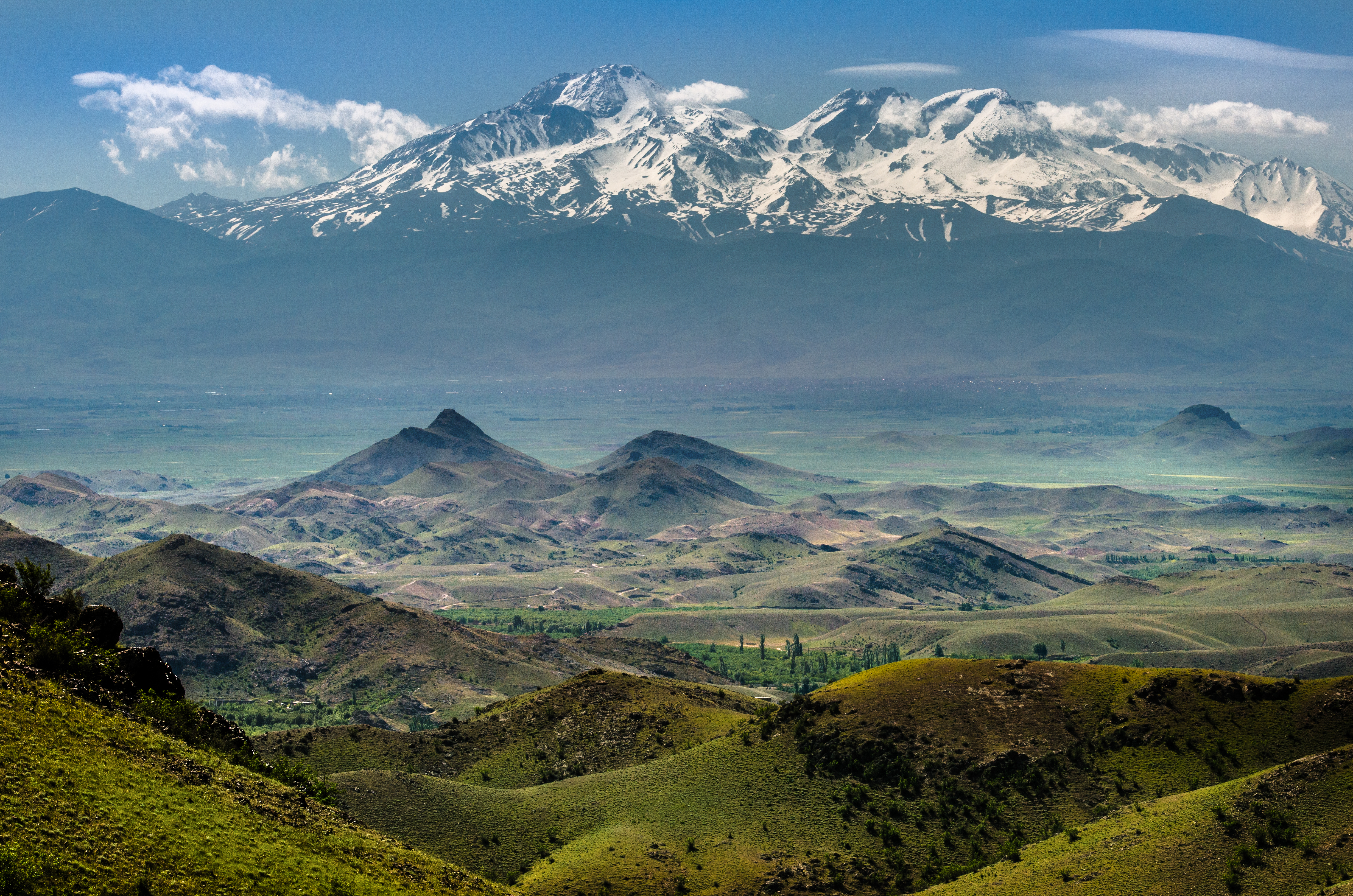
DSC_4209

DSC_4233
DSC_4252

DSC_4551
DSC_2706

DSC_4198
KNA_4069

DSC_4554
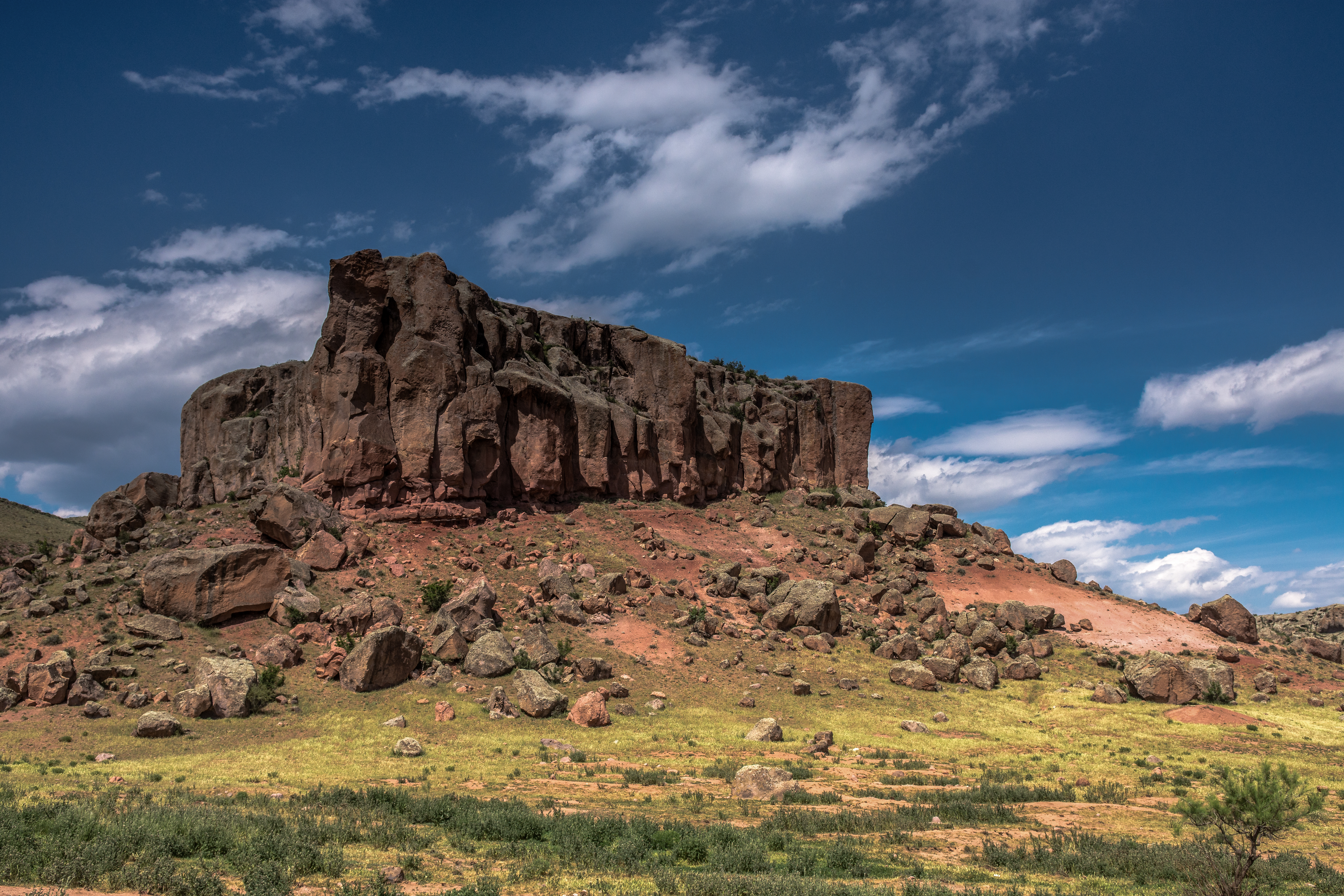
DSC_2857

DSC_2834

DSC_4449

DSC_4349
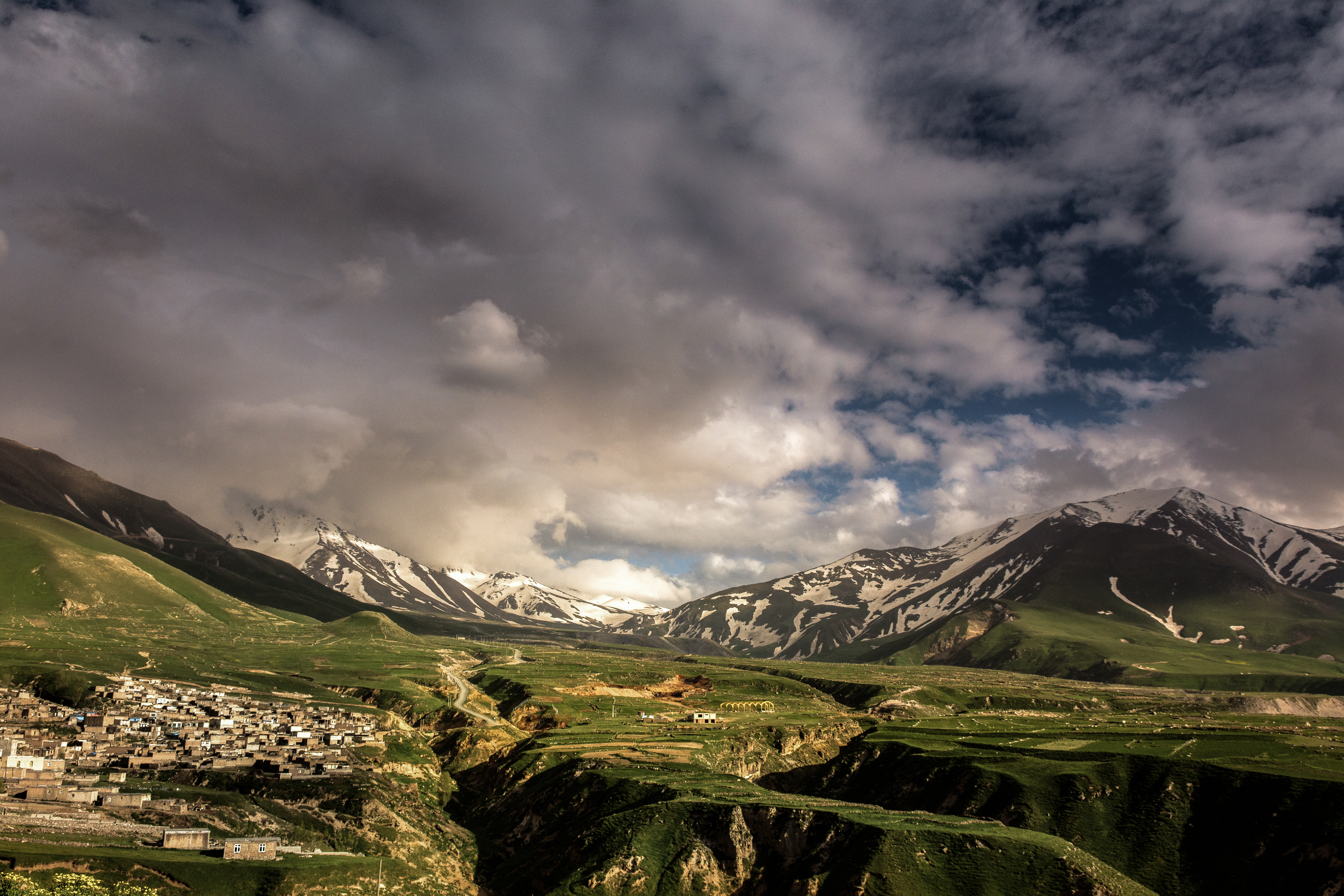
DSC_4615
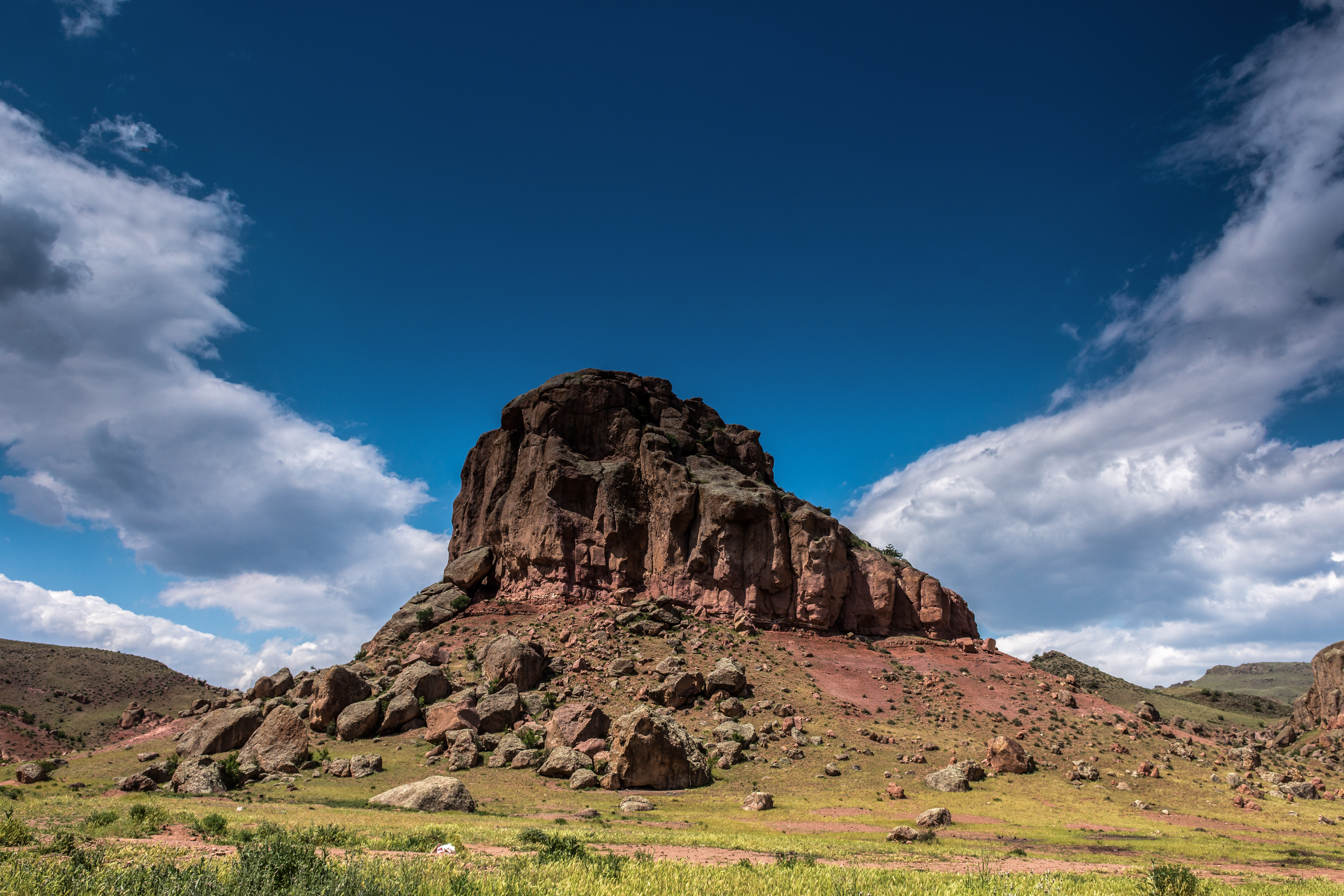
DSC_2820

DSC_3282

DSC_3096
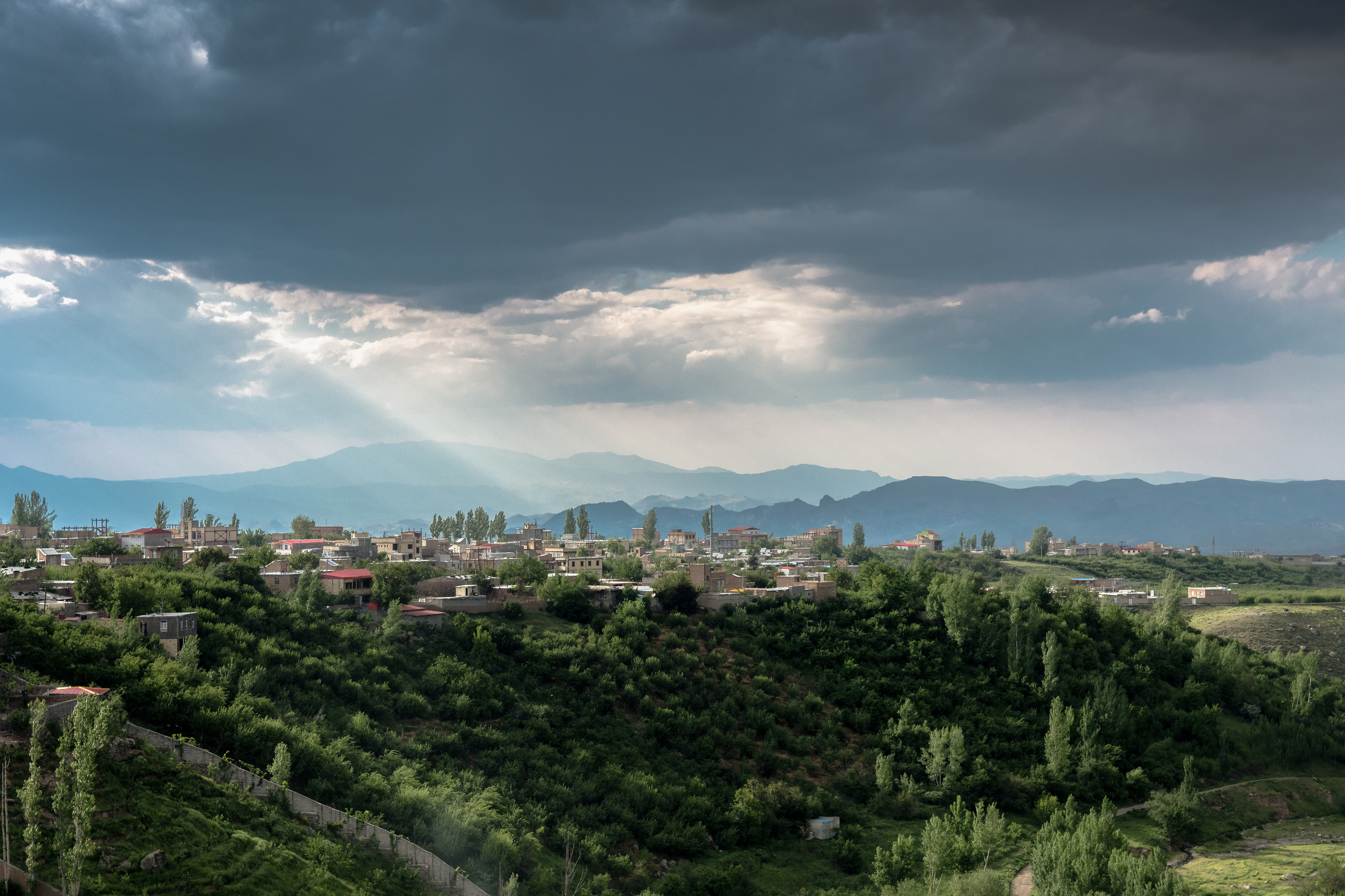
DSC_3293

DSC_4532
Topographic Map of Meshgin Shahr, Ardabil Province, Iran
Find elevation by address:

Places near Meshgin Shahr, Ardabil Province, Iran:
Recent Searches:
- Elevation of Shawnee Avenue, Shawnee Ave, Easton, PA, USA
- Elevation of Scenic Shore Dr, Kingwood Area, TX, USA
- Elevation of W Prive Cir, Delray Beach, FL, USA
- Elevation of S Layton Cir W, Layton, UT, USA
- Elevation of F36W+3M, Mussoorie, Uttarakhand, India
- Elevation of Fairland Ave, Fairhope, AL, USA
- Elevation of Sunset Dr, Richmond, VA, USA
- Elevation of Grodna District, Hrodna Region, Belarus
- Elevation of Hrodna, Hrodna Region, Belarus
- Elevation of Sandia Derby Estates, Tijeras, NM, USA