Elevation of Merrill, MI, USA
Location: United States > Michigan > Saginaw County > Jonesfield Township >
Longitude: -84.328878
Latitude: 43.4097497
Elevation: 205m / 673feet
Barometric Pressure: 99KPa
Elevation Map:
Satellite Map:
Related Photos:

barry road savana
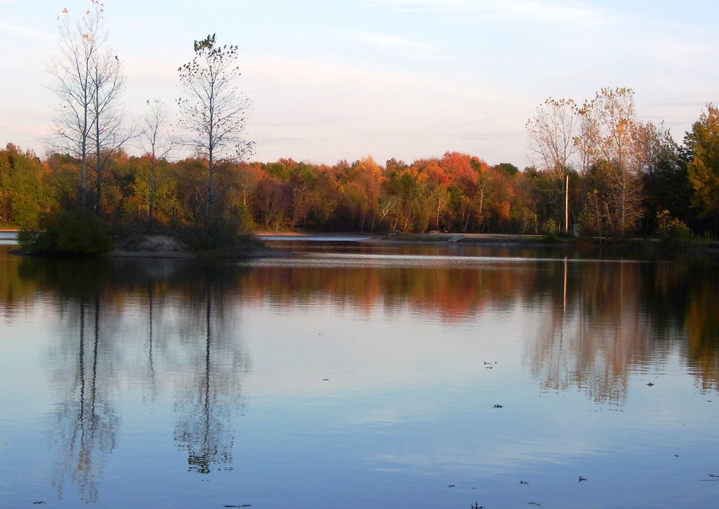
More Autumn Reflections
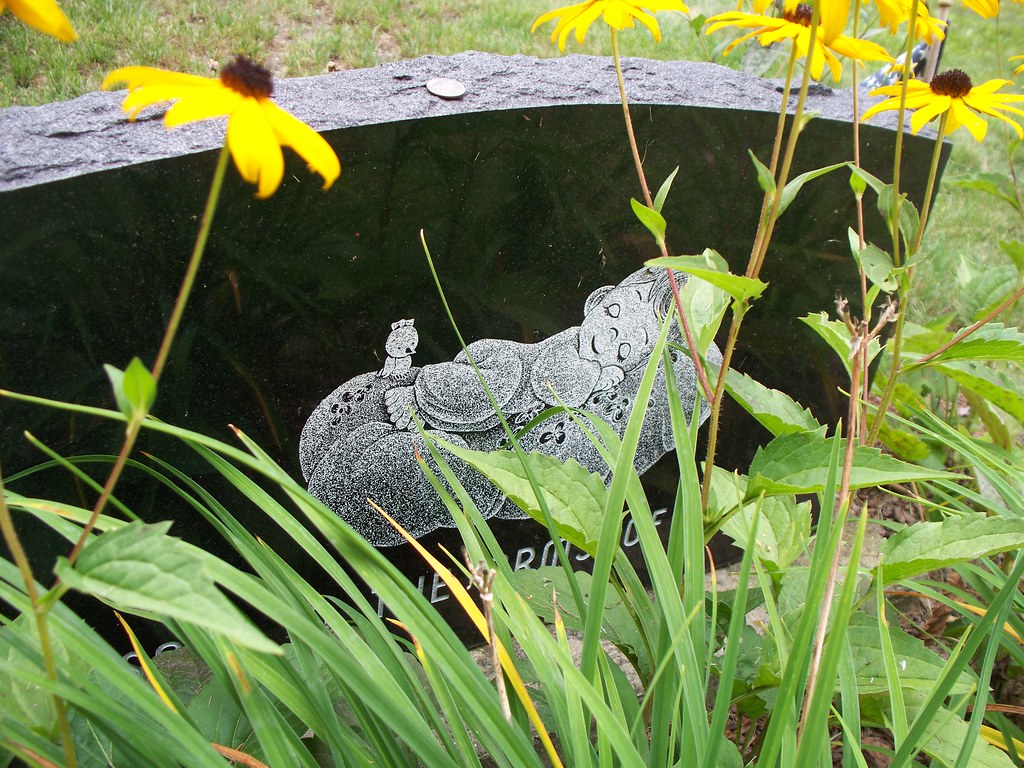
Sleep Well
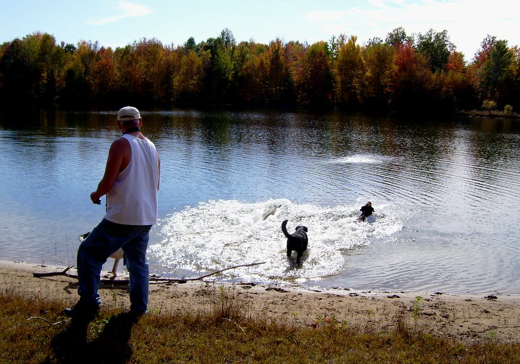
Oct 12 028
green country sunrise

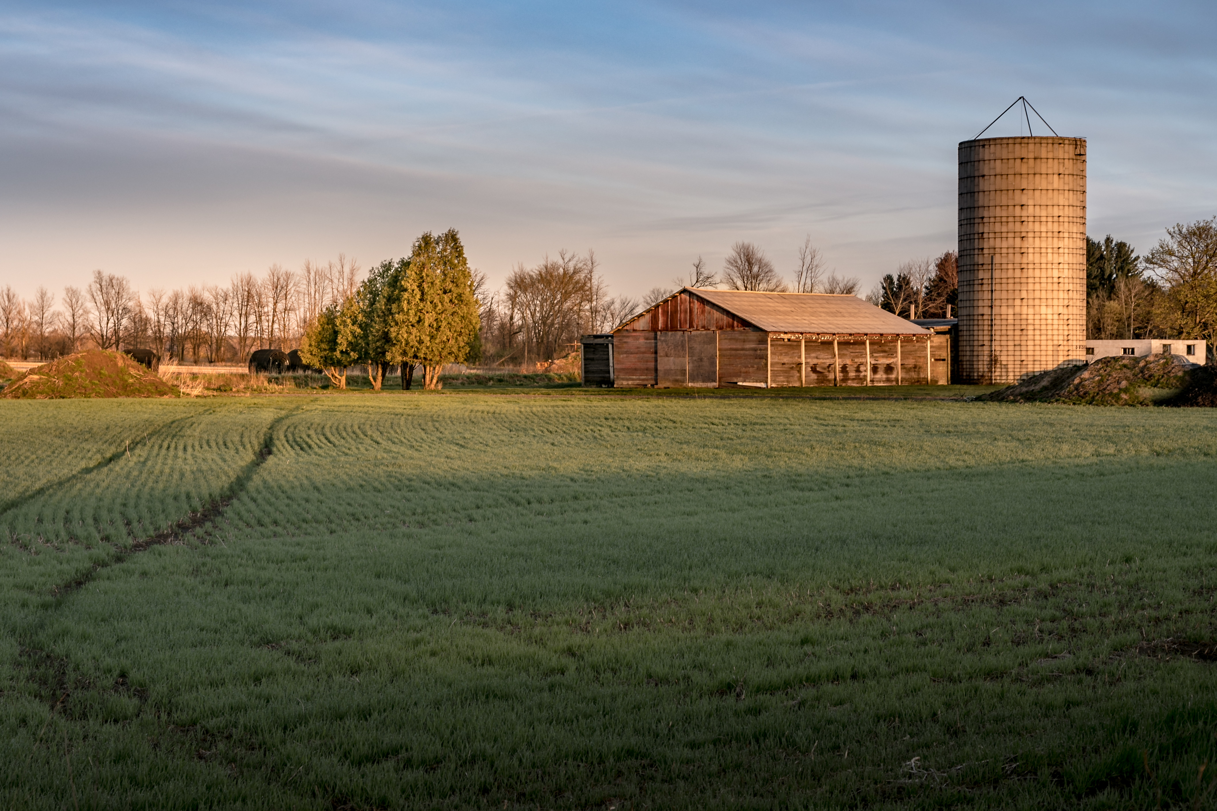
centennial farm

Snowy Owl 2017-02-02 (1)
no-bell

2017-01-19_10-27-04

This year's two headed salmon passed on.

Homecoming Parade Fun

Homecoming Parade Fun

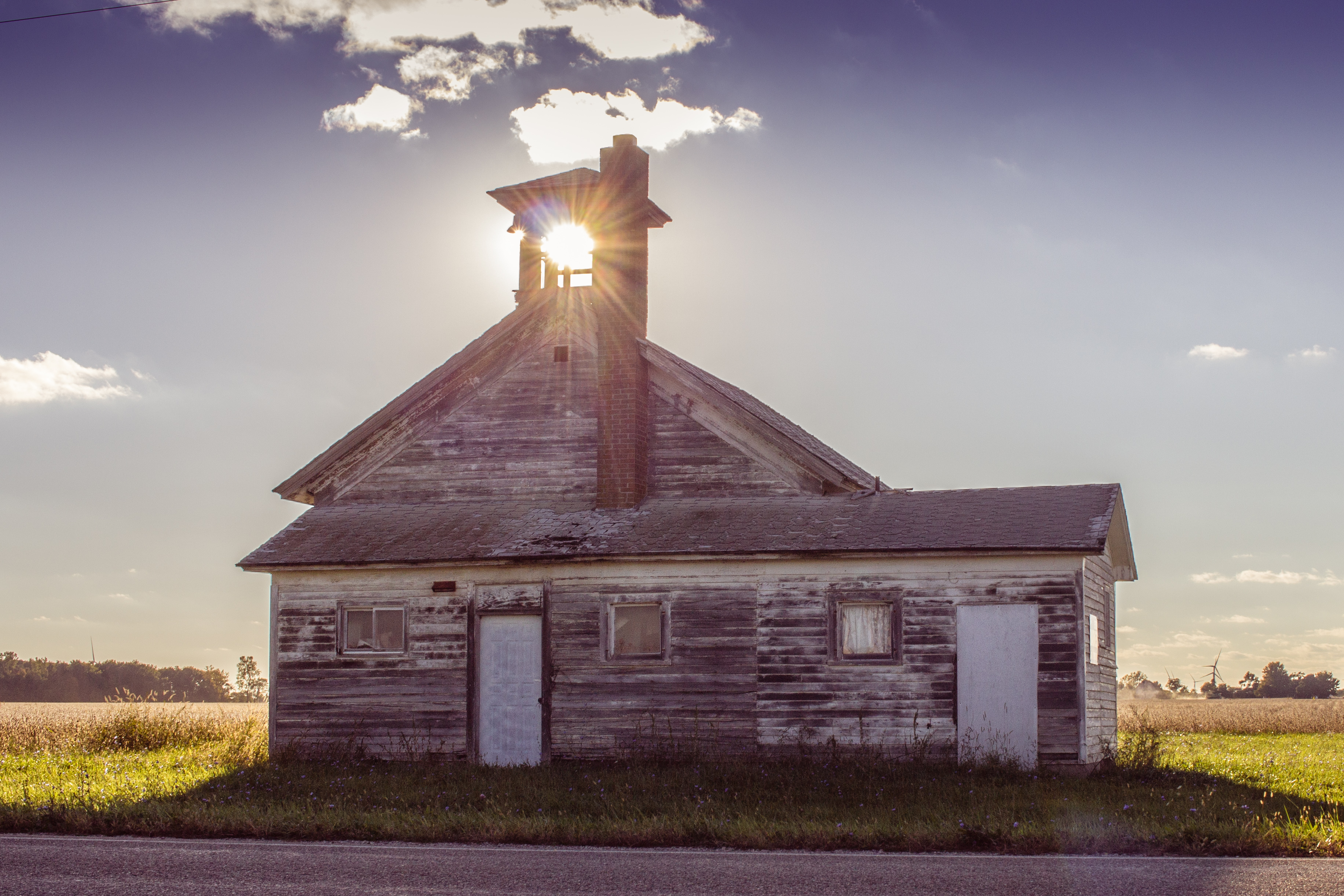
Take Me To Church
Topographic Map of Merrill, MI, USA
Find elevation by address:

Places near Merrill, MI, USA:
Jonesfield Township Hall
251 N Elm St
Hemlock
360 Sandridge Dr
S Hemlock Rd, St Charles, MI, USA
3832 S Gleaner Rd
11328 Spencer Rd
Gabby's Pub & Grill
10720 Swan Creek Rd
10699 Swan Creek Rd
10699 Swan Creek Rd
Swan Creek Township
Saint Charles
Swan Creek Rd, Saginaw, MI, USA
8400 Ohern Rd
St. Charles Township
8300 Gratiot Rd
8130 Ohern Rd
131 N Miller Rd
Shields
Recent Searches:
- Elevation of Hobbyhorse Ct, Dover, DE, USA
- Elevation of Horseshoe Ln, Dahlonega, GA, USA
- Elevation of Village Point Dr, Daphne, AL, USA
- Elevation map of Kabardino-Balkarian Republic, Russia
- Elevation of Tyrnyauz, Kabardino-Balkarian Republic, Russia
- Elevation of Sunset Dr, Hernando, MS, USA
- Elevation of Lake Rotoroa, Tasman, New Zealand
- Elevation of George St, New Bern, NC, USA
- Elevation of Cove Rd, Jasper, GA, USA
- Elevation of Cove Rd, Jasper, GA, USA