Elevation of Merom Golan
Longitude: 35.777071
Latitude: 33.132583
Elevation: 988m / 3241feet
Barometric Pressure: 90KPa
Elevation Map:
Satellite Map:
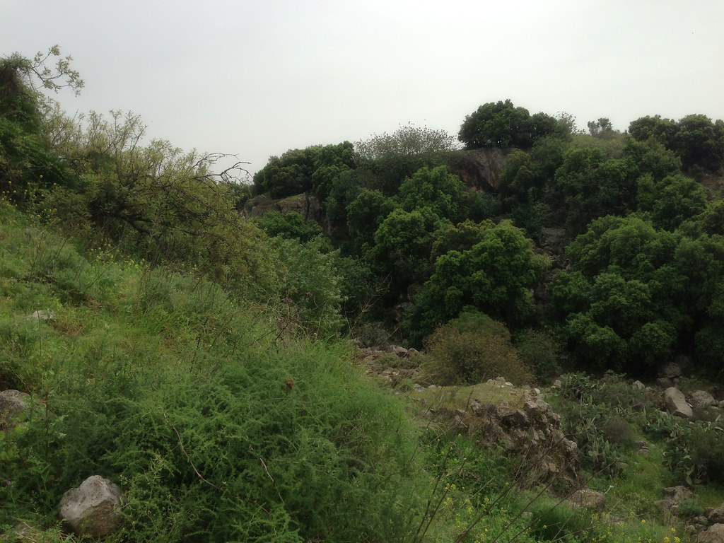
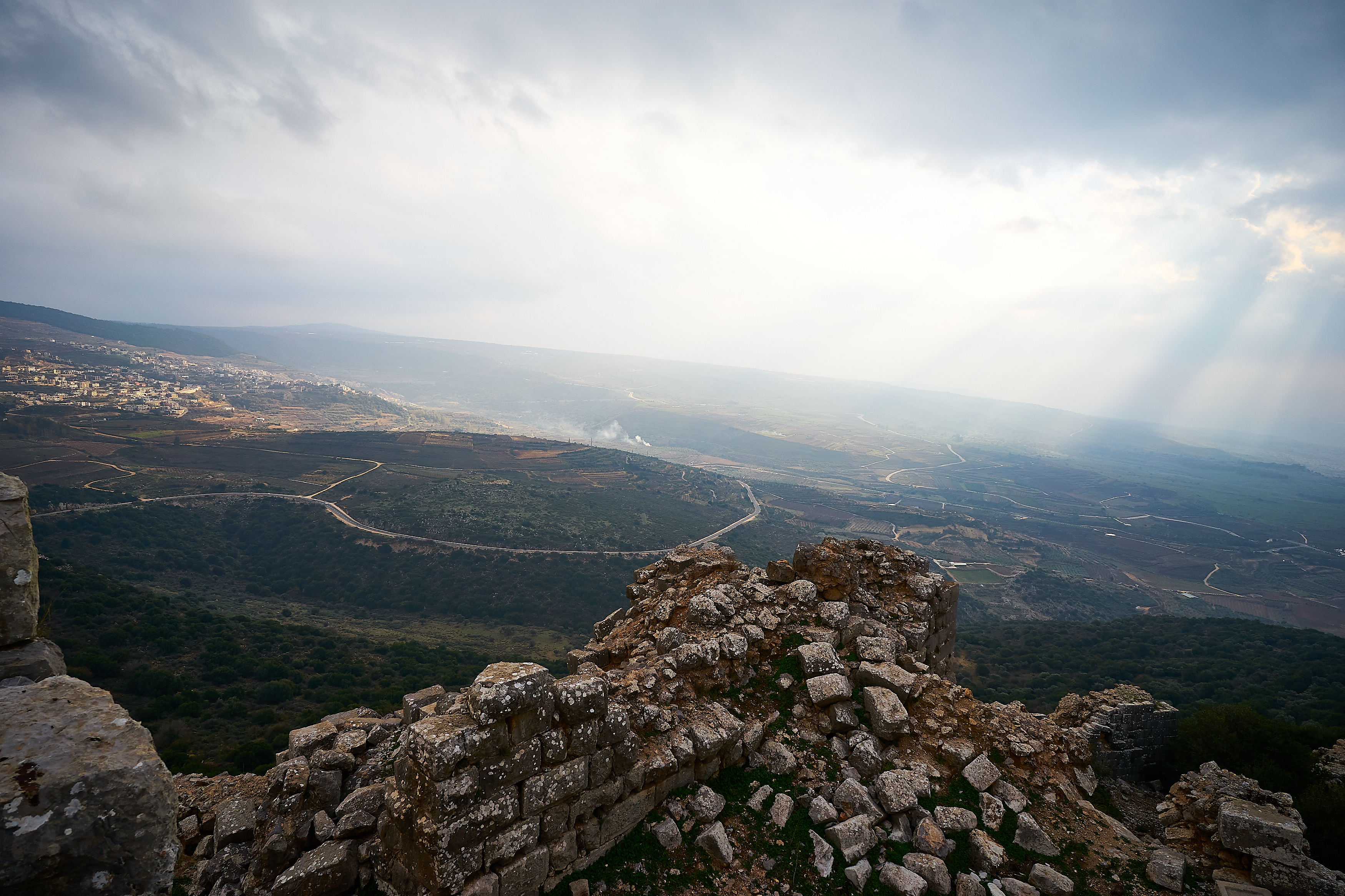
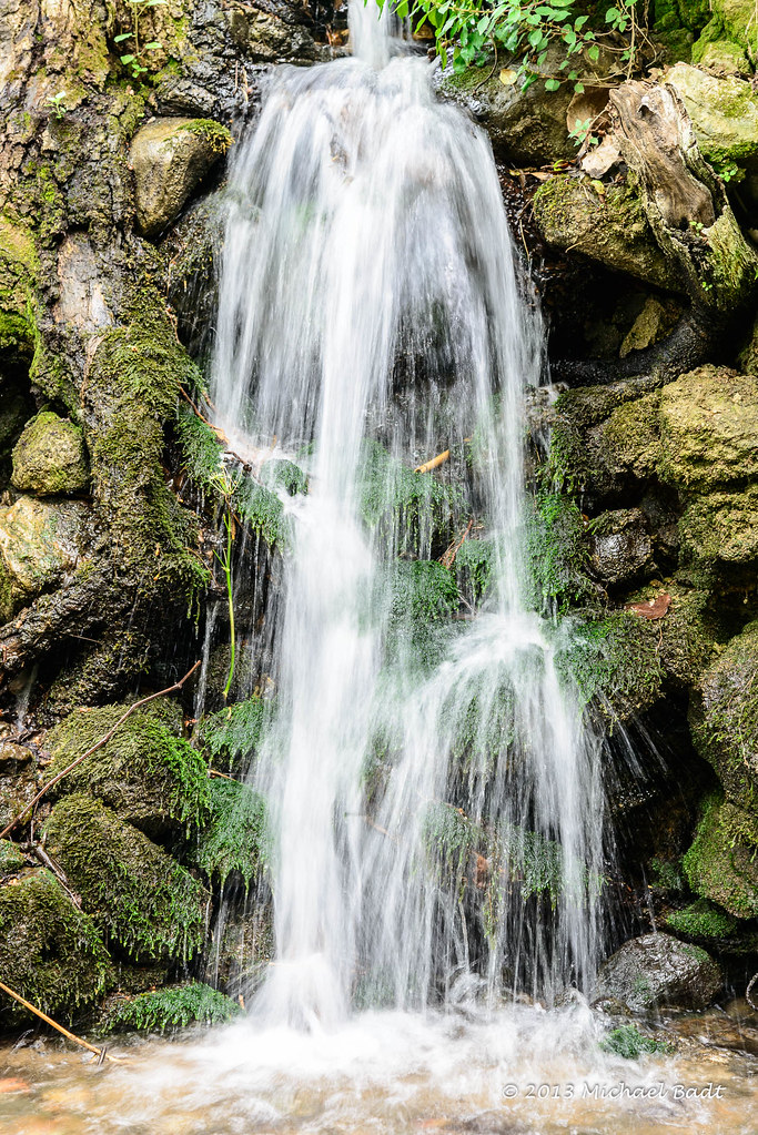
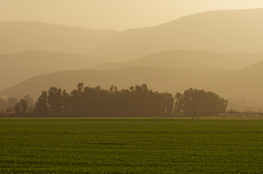
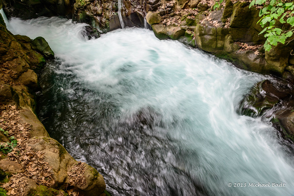
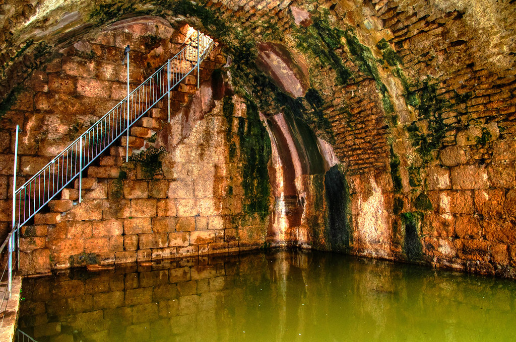
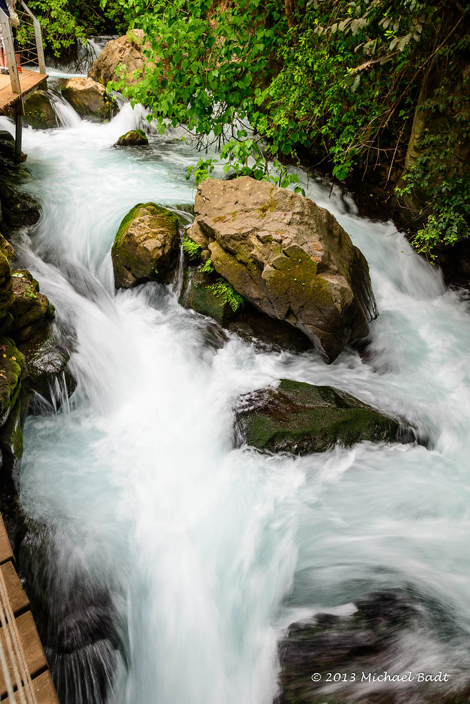
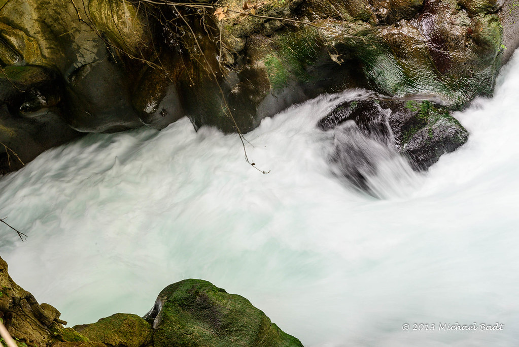
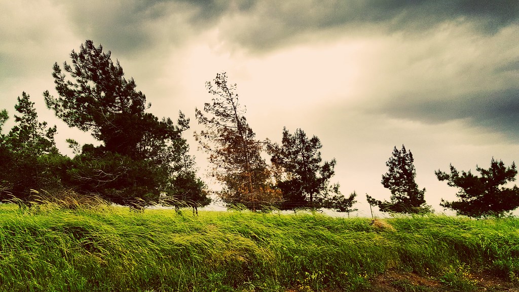
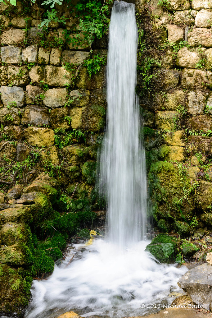
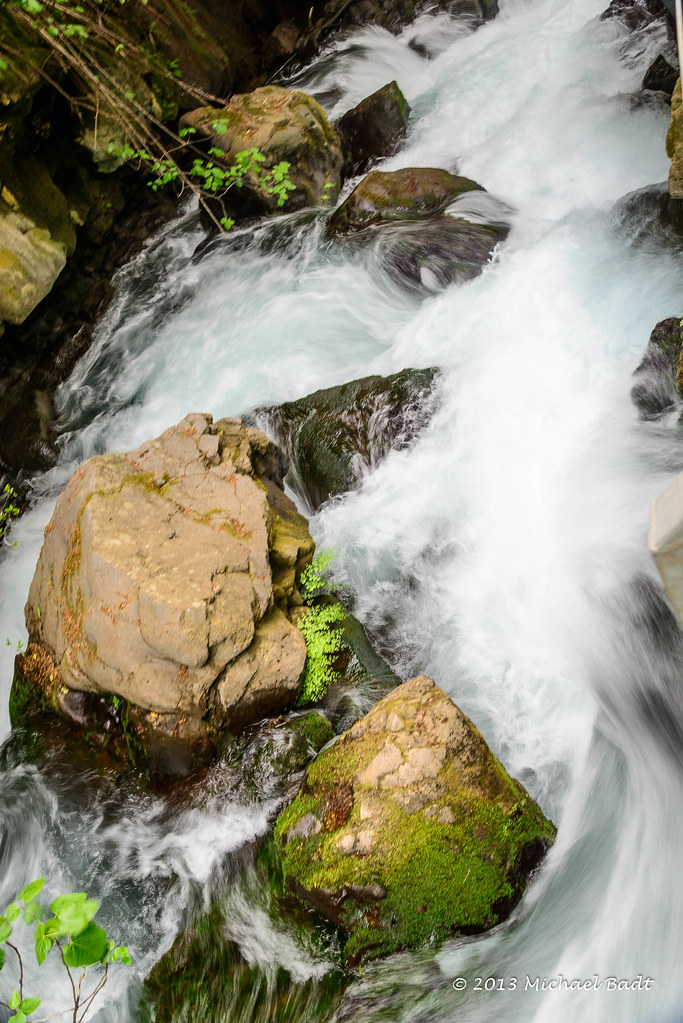
Related Photos:
Shooting à Quneytra View (Golan)
Playing with fire

Banias Spring
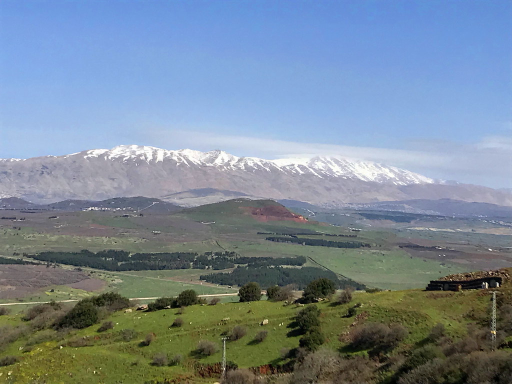
Golan views
be still my heart
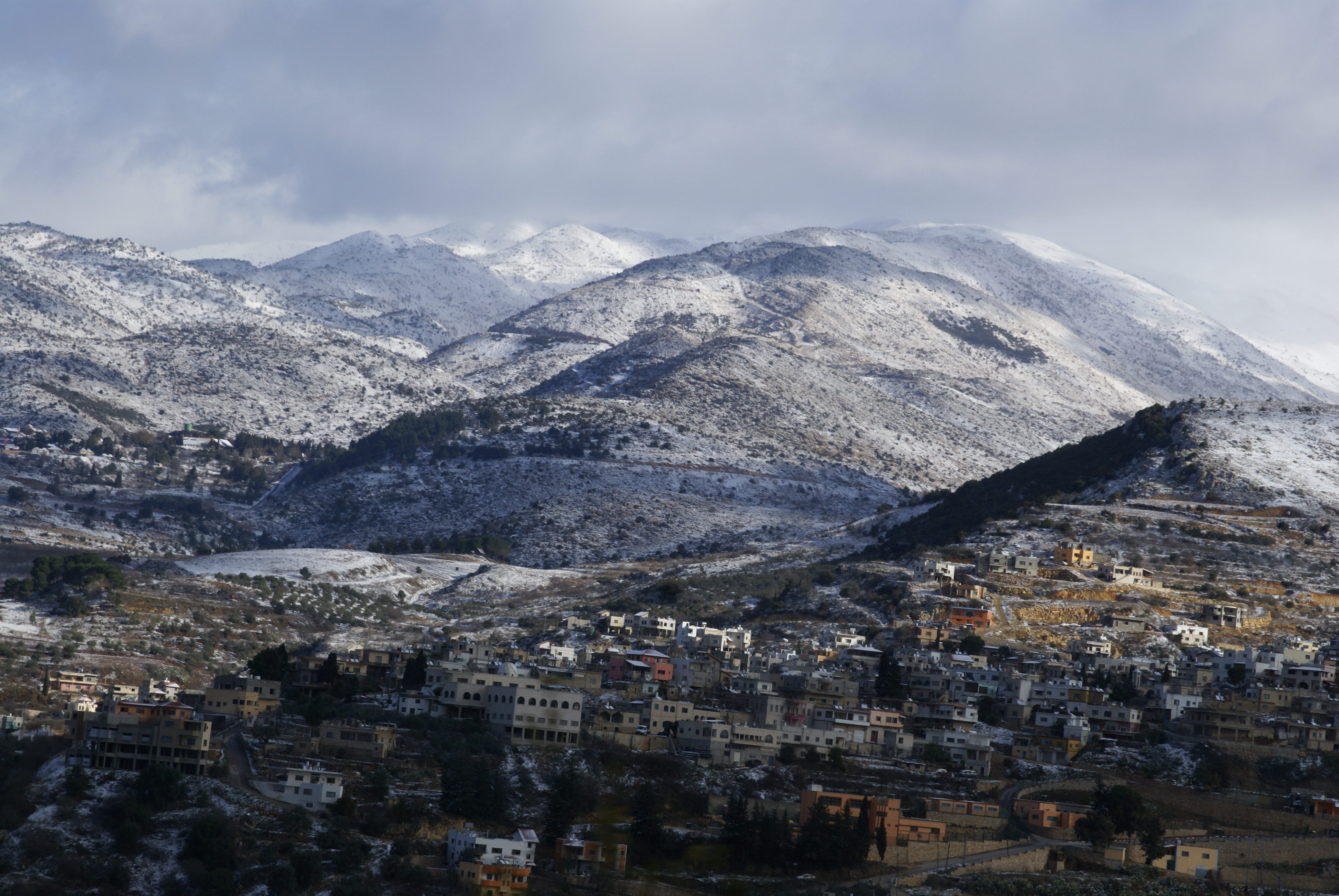
View of Mount Hermon

best views in town
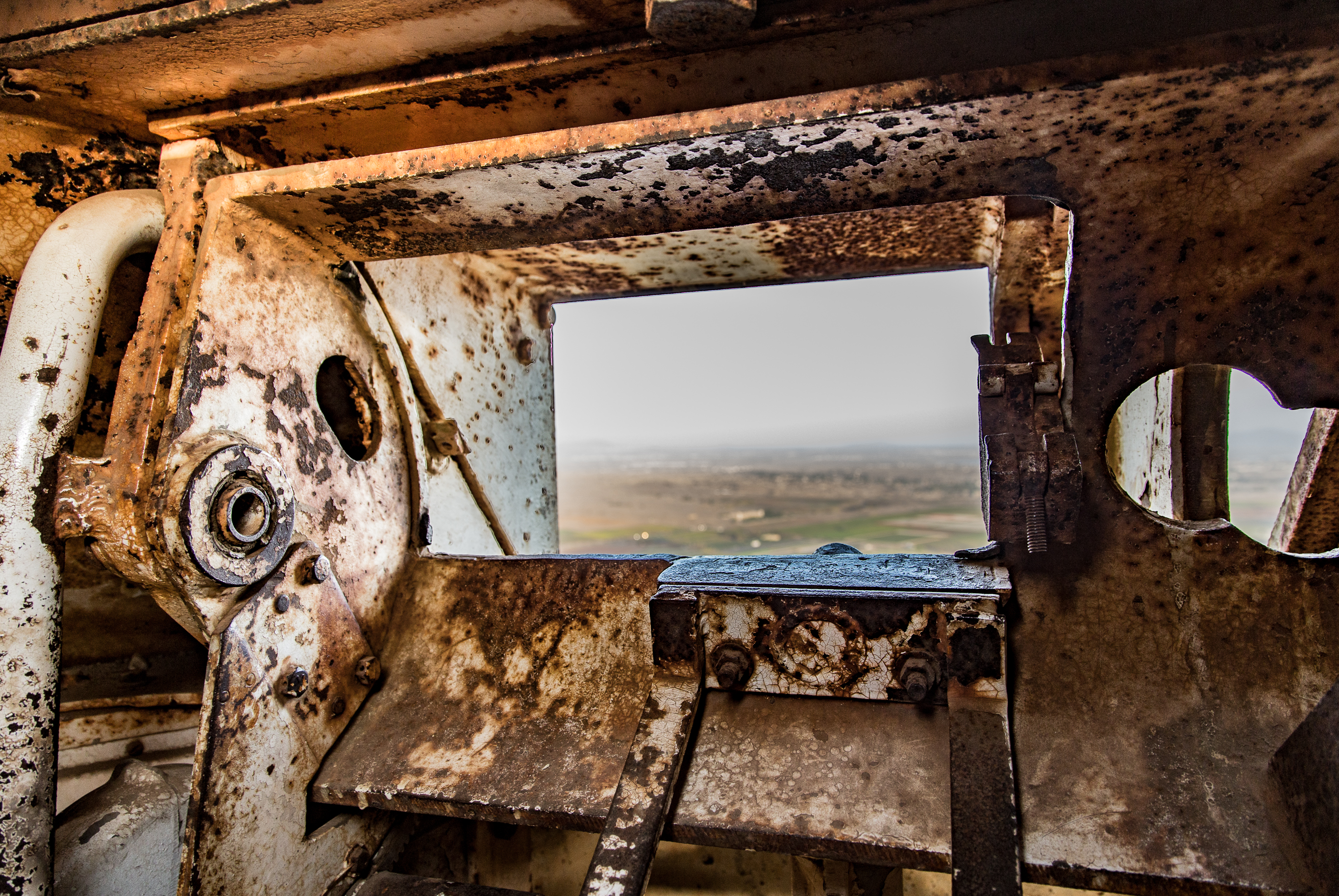
Golan Heights - View from a gun turret into Syria

Mas'adah

View of Har Hermon from Har BenTal
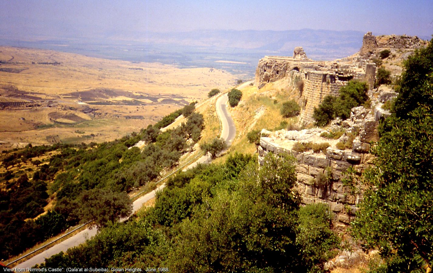
View from "Nimrod's Castle" (Qala'at al-Subeiba), Golan Heights.

View From Mount Bental

1971.01-14a Banias 1971 בניאס

Israel 2011
Ein Keniah in the Golan Heights
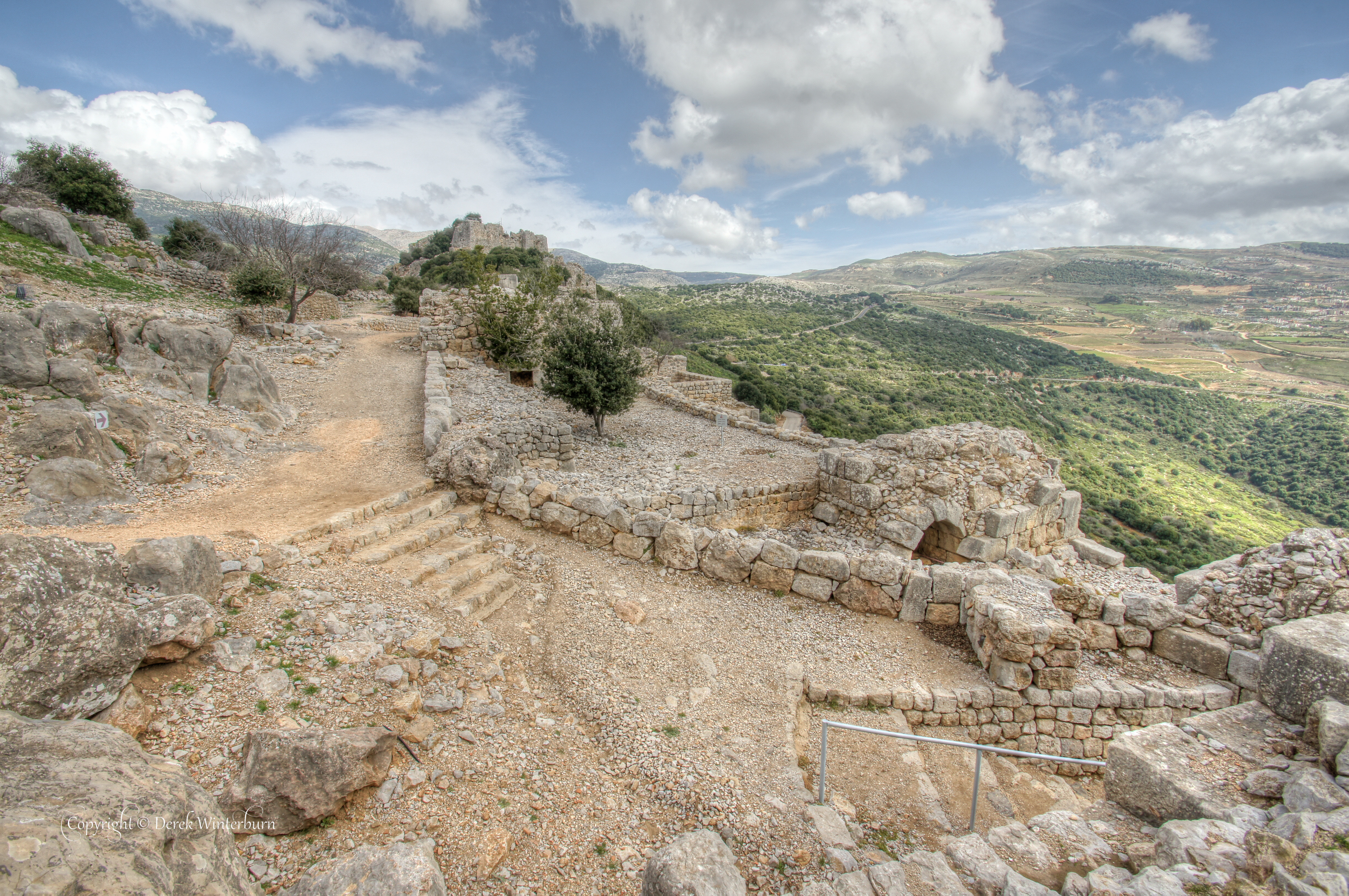
View across the ruins
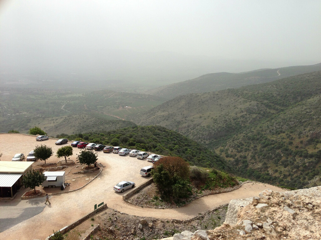
Nimrods Castle - A commanding view
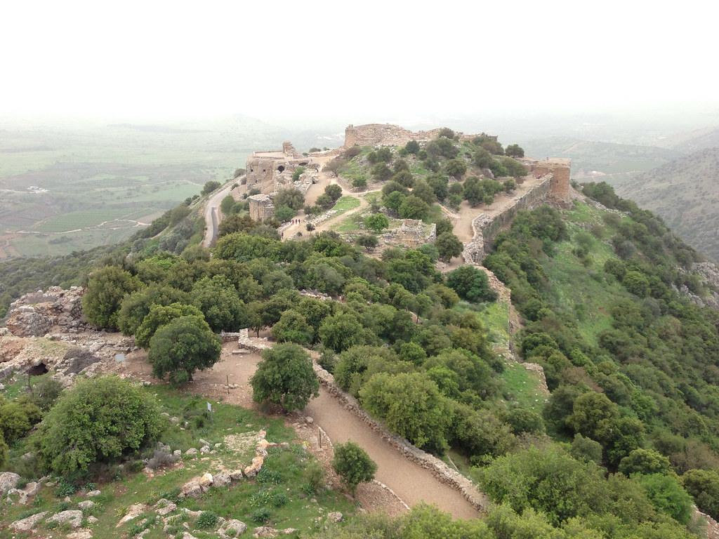
Nimrods Castle - View back to main castle
Banias Springs - City Gates view
Banias Springs - City Gates view

Golan Heights with view to Syria
Israel, Weihnachten 2017
IL-0364-20130330.jpg

IL-0354-20130330.jpg
Colors and layers!
IL-0404-20130330.jpg
BL_TRL_Tel-Hay-0545-20110312_tonemapped.jpg
IL-0391-20130330.jpg

IL-0423-20130330.jpg

IL-0412-20130330.jpg

Photos since Egypt

Golan-0049-20120225.jpg

IL-0416-20130330.jpg
IL-0405-20130330.jpg

Krajina okolo hradu Nimrod
2017-04-29_09-02-22

Photos since Egypt
IL-0359-20130330.jpg
IL-0415-20130330.jpg
Golan volcanic park
IL-0383-20130330.jpg
Topographic Map of Merom Golan
Find elevation by address:

Places near Merom Golan:
Merom Golan Resort
Ein Zivan
El-rum
El-rom Cemetery
Al Qunaitra
Sha'al
Odem
Belev Odem
Bruchim Qela' Alon
Kela Alon
Lake Ram
Golan
Mount Hermon
Golan Heights
Tel Anafa
Hermon Stream Nature Reserve
Dan
Hula Valley
Mount Hermon
Emek Hulah
Recent Searches:
- Elevation of Zu den Ihlowbergen, Althüttendorf, Germany
- Elevation of Badaber, Peshawar, Khyber Pakhtunkhwa, Pakistan
- Elevation of SE Heron Loop, Lincoln City, OR, USA
- Elevation of Slanický ostrov, 01 Námestovo, Slovakia
- Elevation of Spaceport America, Co Rd A, Truth or Consequences, NM, USA
- Elevation of Warwick, RI, USA
- Elevation of Fern Rd, Whitmore, CA, USA
- Elevation of 62 Abbey St, Marshfield, MA, USA
- Elevation of Fernwood, Bradenton, FL, USA
- Elevation of Felindre, Swansea SA5 7LU, UK