Elevation of Mendota, IL, USA
Location: United States > Illinois > Lasalle County > Mendota Township >
Longitude: -89.117585
Latitude: 41.5472547
Elevation: 227m / 745feet
Barometric Pressure: 99KPa
Elevation Map:
Satellite Map:
Related Photos:
Medota Milwaukee Depot #1
dead calm...
Diner-2638
Medota Milwaukee Depot #3

Medota Milwaukee Depot #2

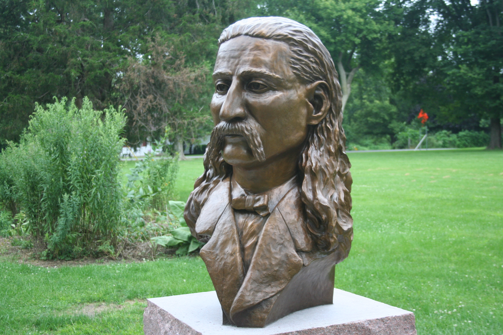
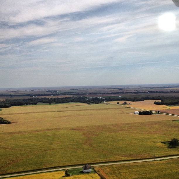
american view
Dave Buddy & I at Troy Grove IL (11)
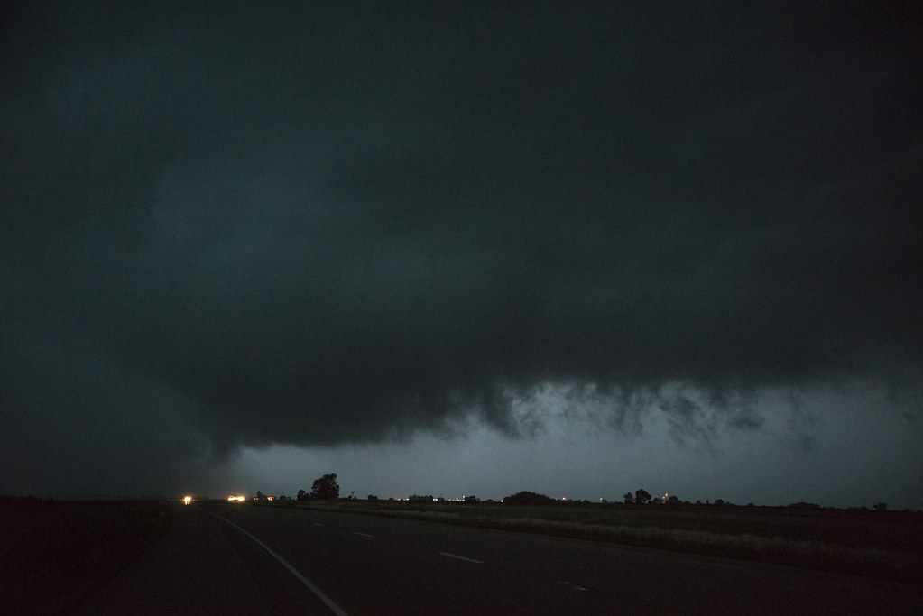
June 22nd, 2015 North-Central Illinois Severe Weather Outbreak

silent watch...

Out in the Street
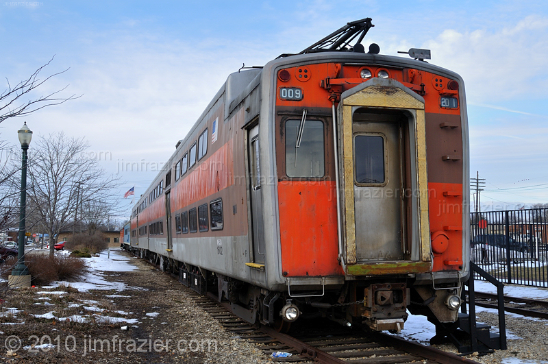
The Tin Car
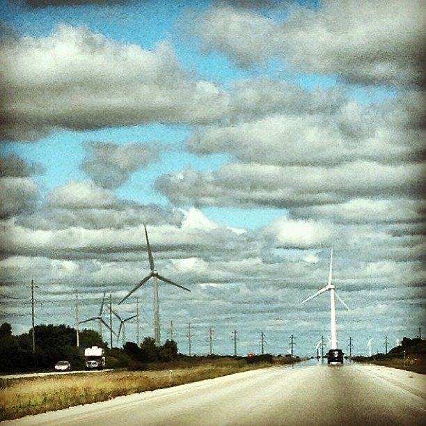
Illinois I-39/US-51 Corridor

Midwest speed. #farming

#iwannaflyaway #cool #airplane

IMG_5071.jpg
#takenbyowen #okieisawesome #firstflight #iwannaflyaway

vintage Illinois

IMG_5297-2

IMG_5761-Edit

IMG_5069.jpg

Troy Grove Sunrise
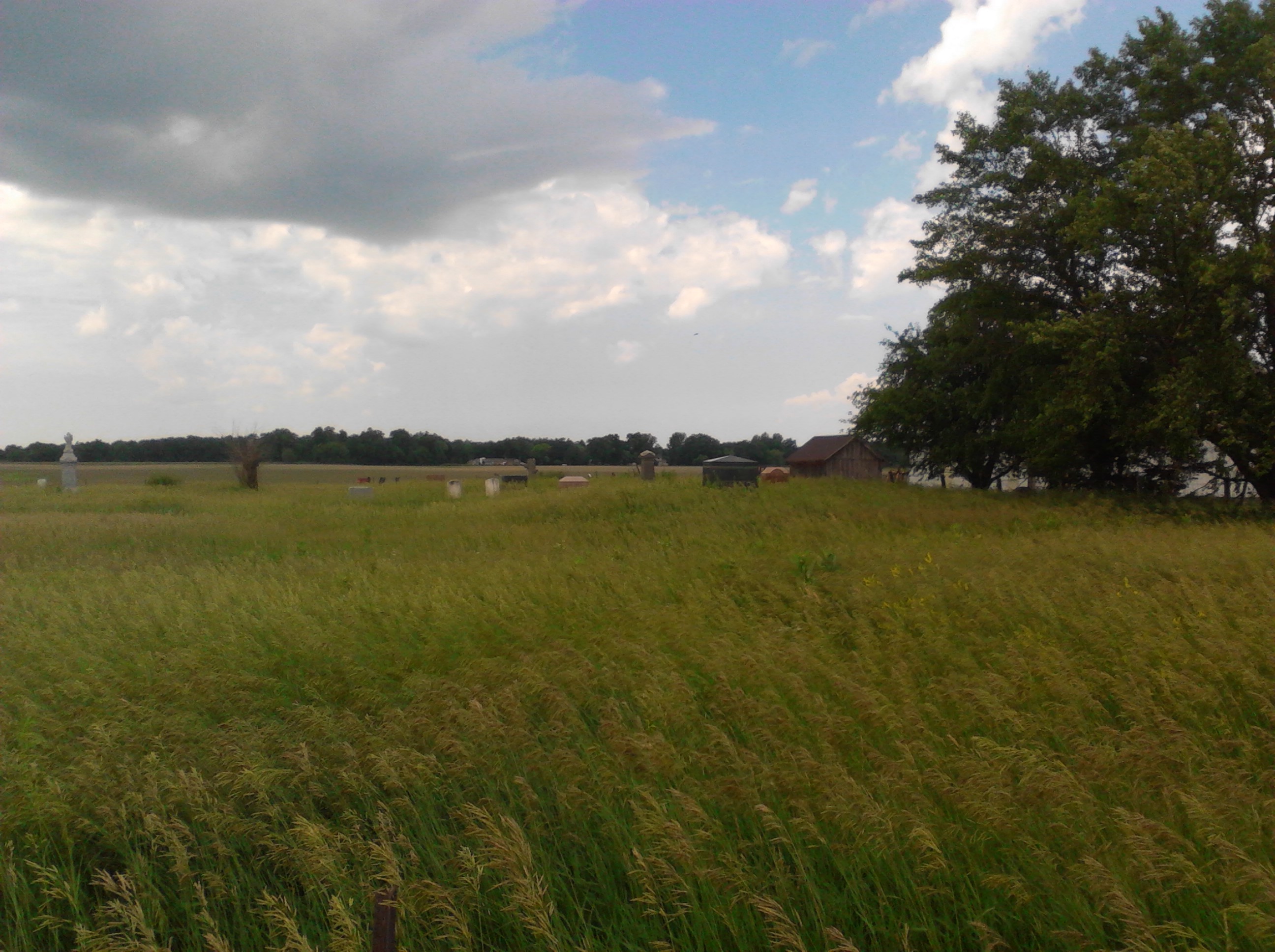
Crane Cemetery
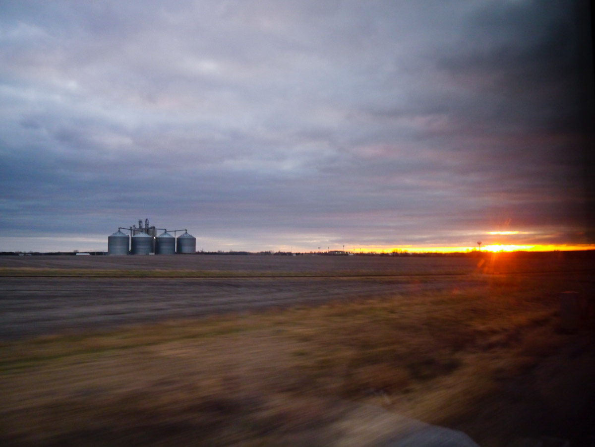
Mendota, Illinois at sunset
Topographic Map of Mendota, IL, USA
Find elevation by address:

Places in Mendota, IL, USA:
Places near Mendota, IL, USA:
7th Ave, Mendota, IL, USA
Mendota Township
East 250th Road
Troy Grove Township
US-52, Mendota, IL, USA
Troy Grove
Ottawa St, Troy Grove, IL, USA
113 Henkel Rd
County Rd E, La Moille, IL, USA
Clarion Township
Brooklyn Township
Sublette Township
Westfield Township
Sublette
West Brooklyn
3rd St, West Brooklyn, IL, USA
Arlington
Cherry
803 W Santee St
S Main St, Arlington, IL, USA
Recent Searches:
- Elevation of Congressional Dr, Stevensville, MD, USA
- Elevation of Bellview Rd, McLean, VA, USA
- Elevation of Stage Island Rd, Chatham, MA, USA
- Elevation of Shibuya Scramble Crossing, 21 Udagawacho, Shibuya City, Tokyo -, Japan
- Elevation of Jadagoniai, Kaunas District Municipality, Lithuania
- Elevation of Pagonija rock, Kranto 7-oji g. 8"N, Kaunas, Lithuania
- Elevation of Co Rd 87, Jamestown, CO, USA
- Elevation of Tenjo, Cundinamarca, Colombia
- Elevation of Côte-des-Neiges, Montreal, QC H4A 3J6, Canada
- Elevation of Bobcat Dr, Helena, MT, USA