Elevation map of Menchum, Cameroon
Location: Cameroon > Northwest >
Longitude: 10.1703257
Latitude: 6.5600246
Elevation: 963m / 3159feet
Barometric Pressure: 90KPa
Elevation Map:
Satellite Map:
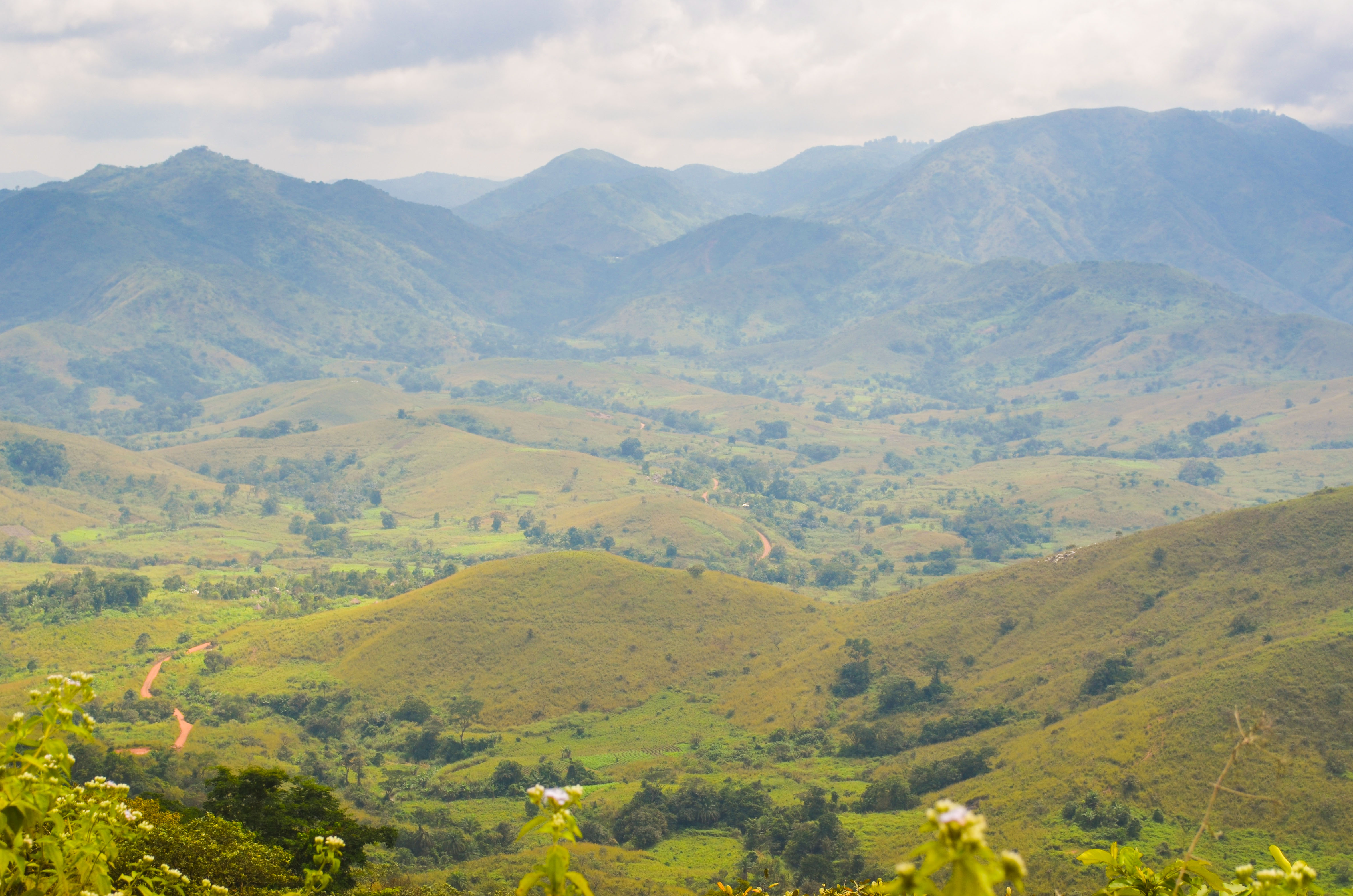
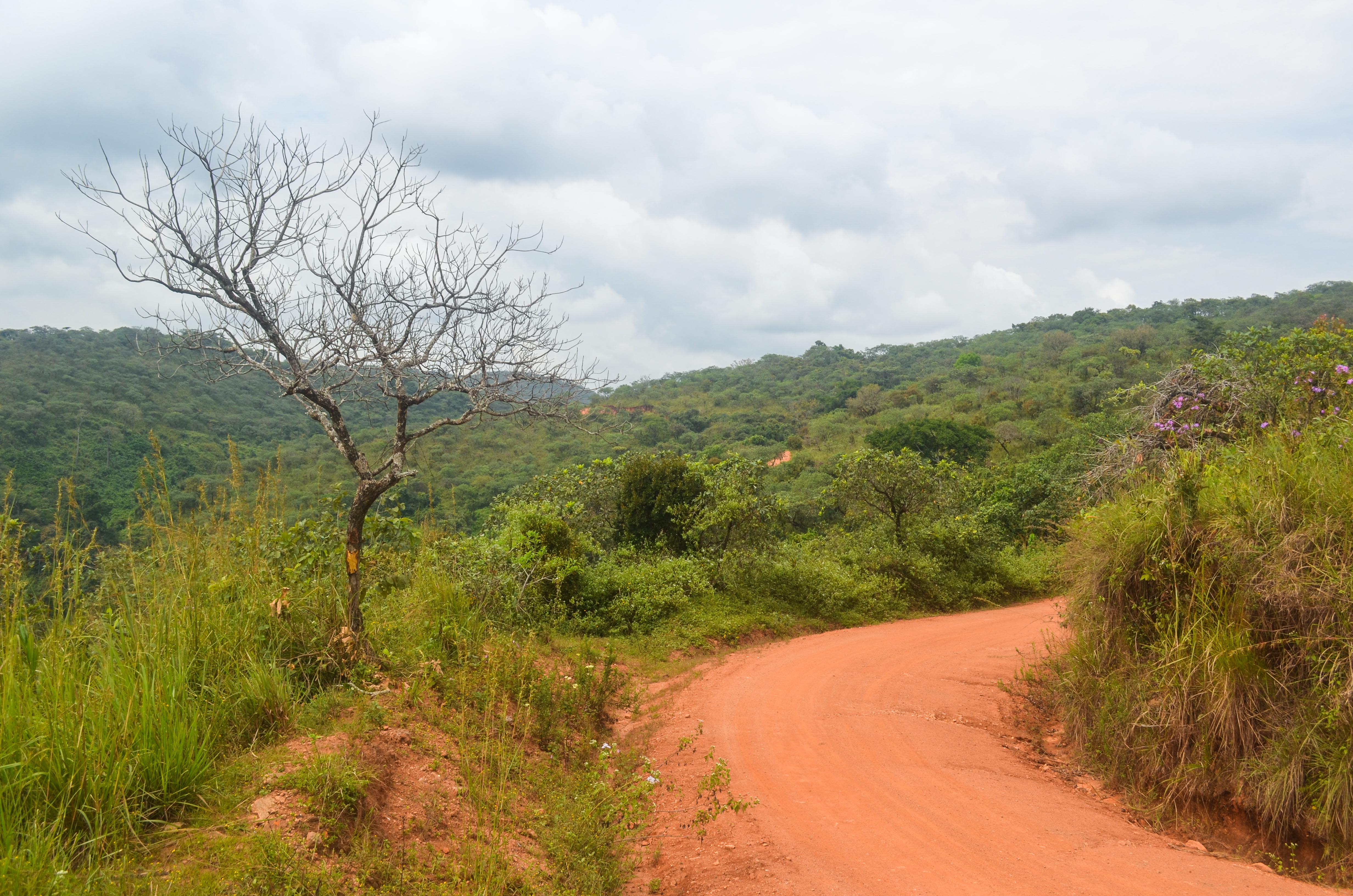
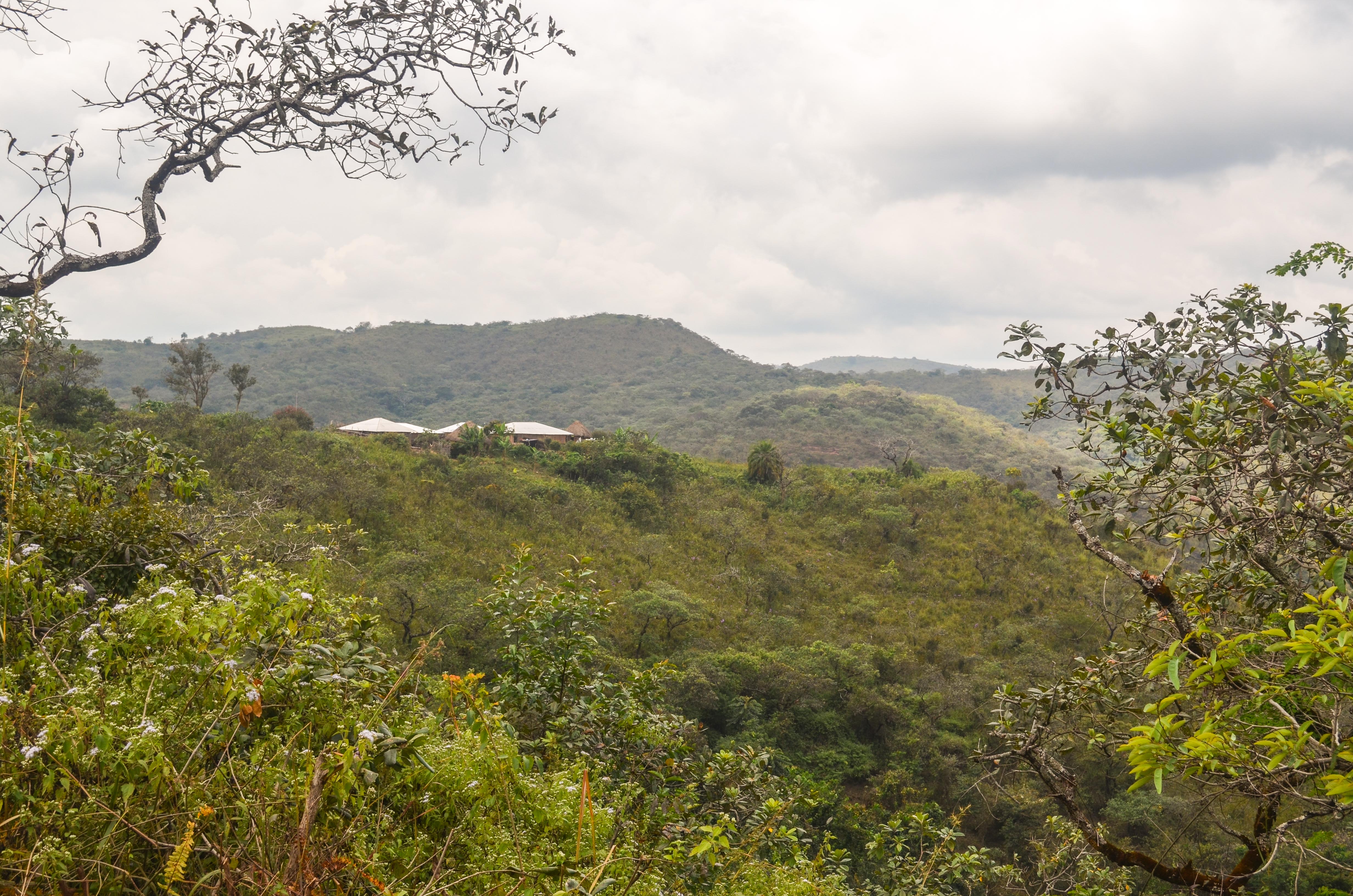
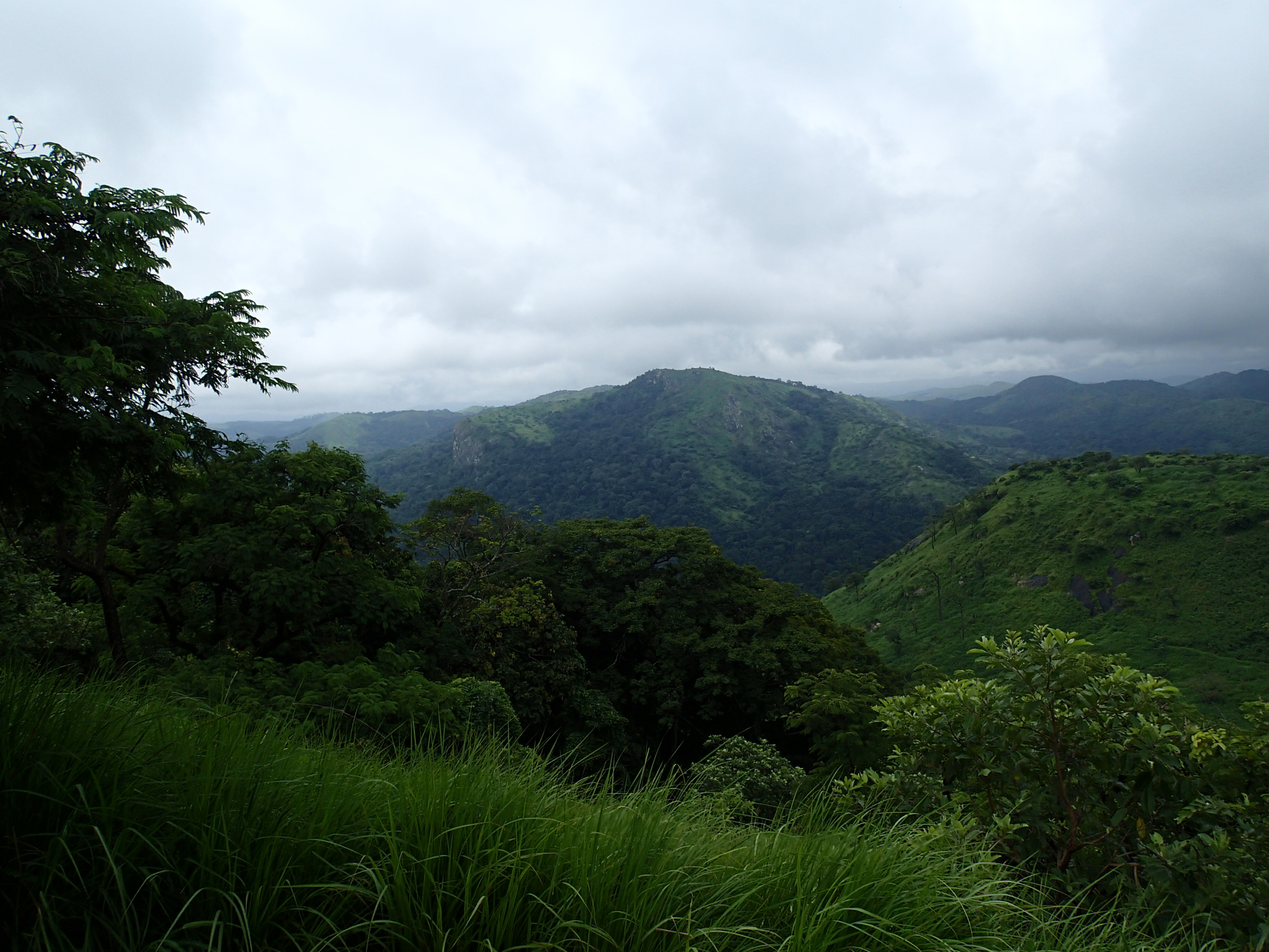
Related Photos:
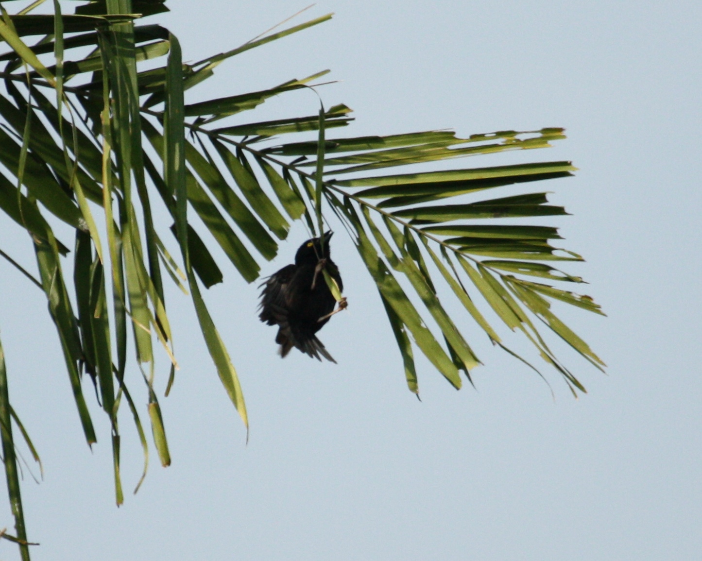
Ploceus nigerrimus nigerrimus
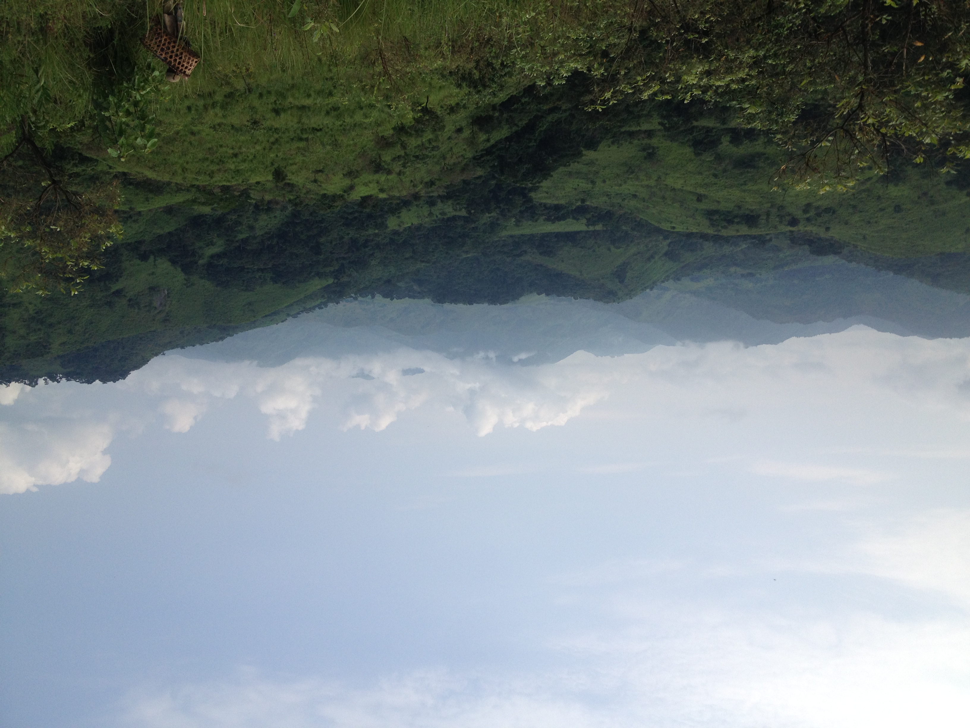
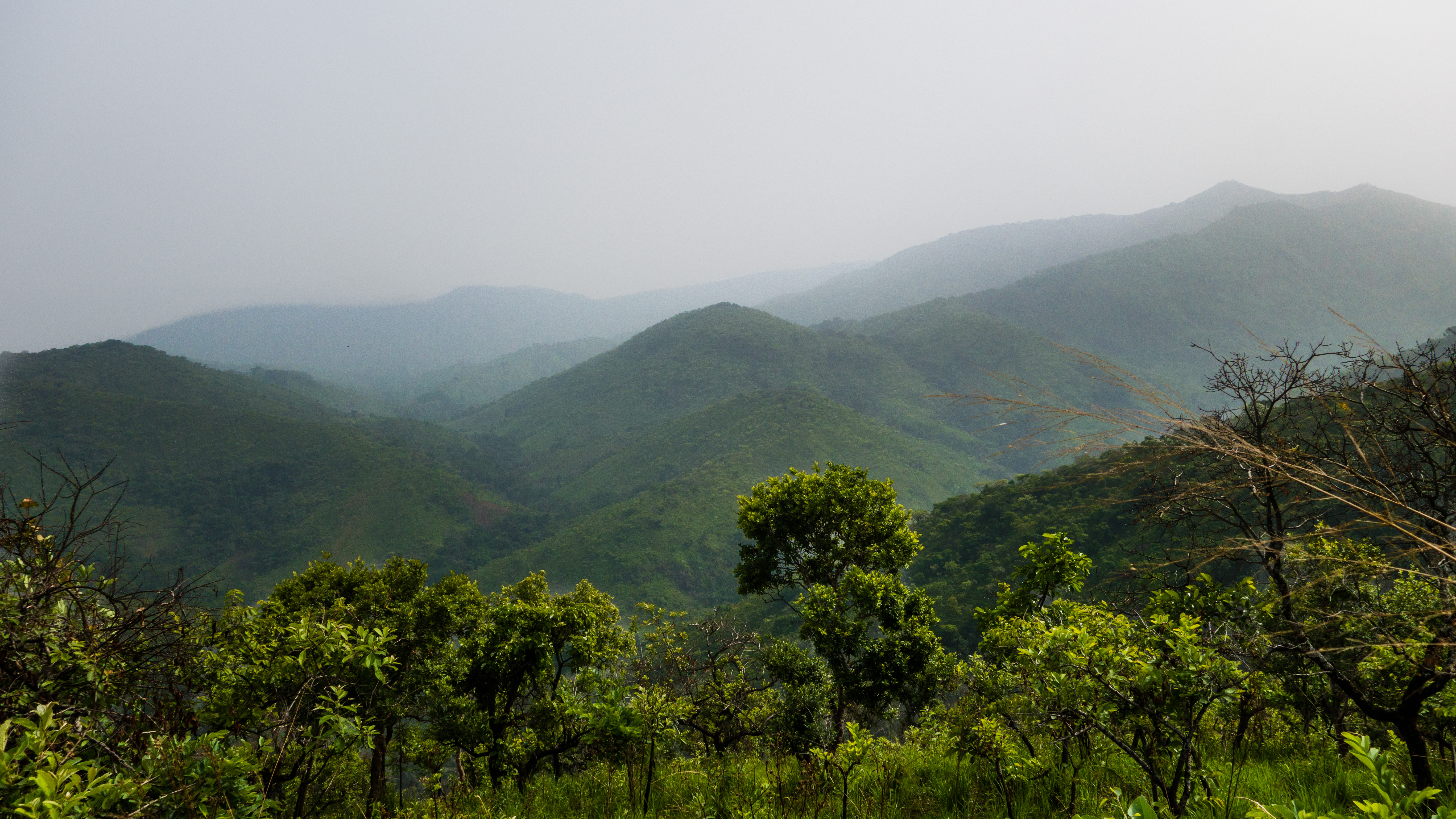
Northern Grassfields
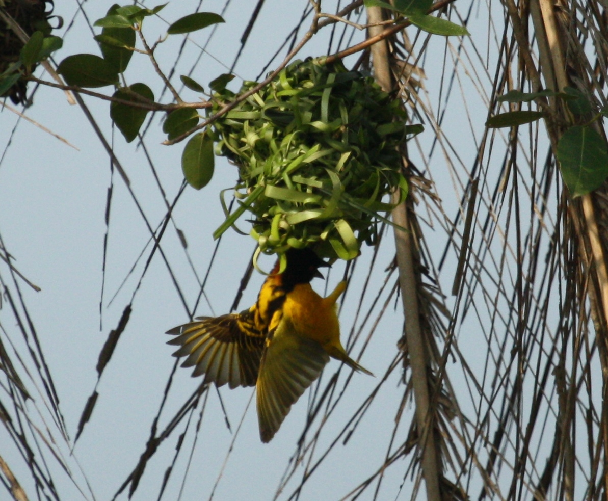
Ploceus cucullatus cucullatus
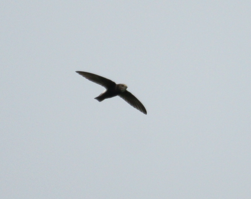
Apus affinis
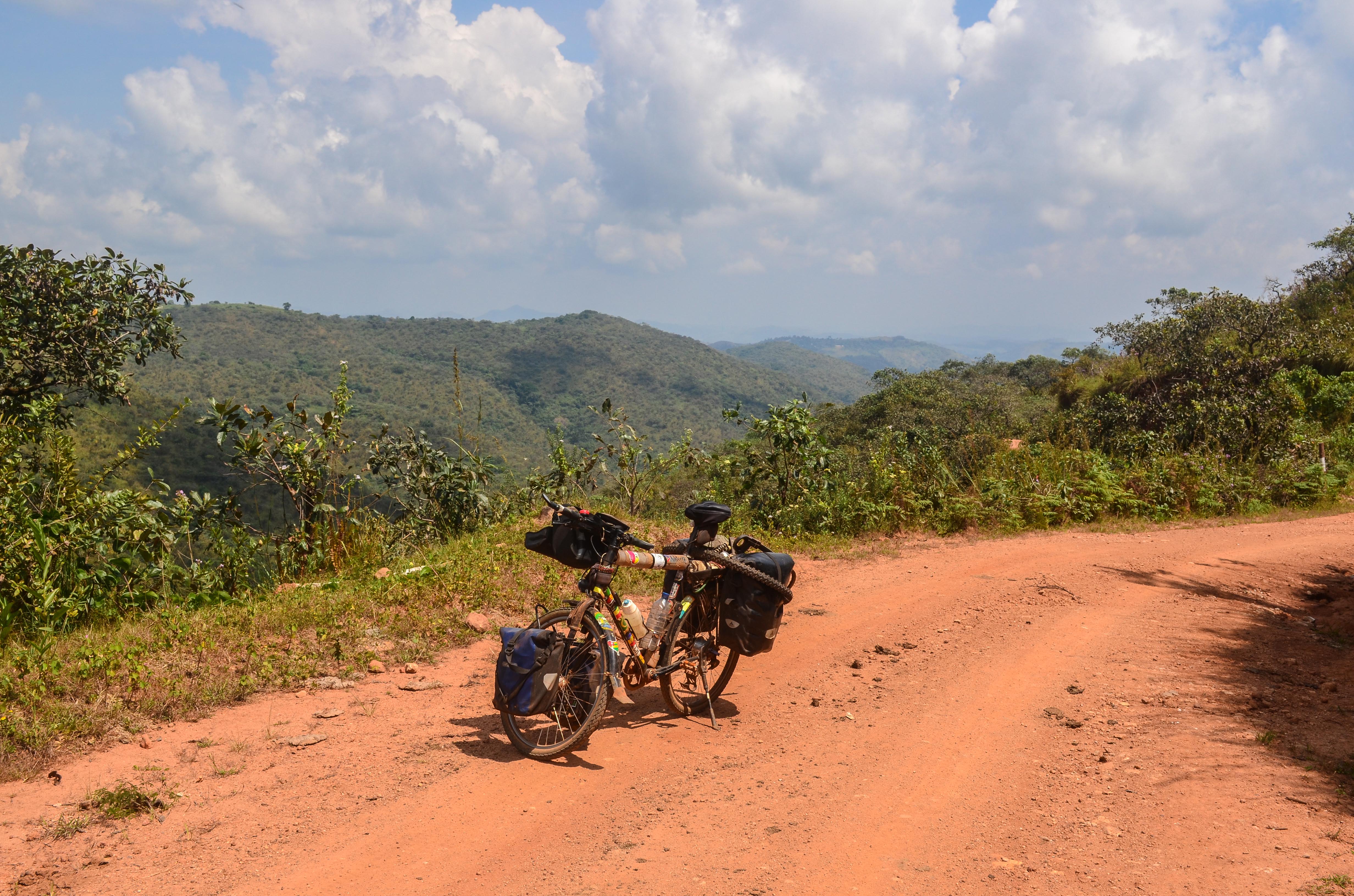
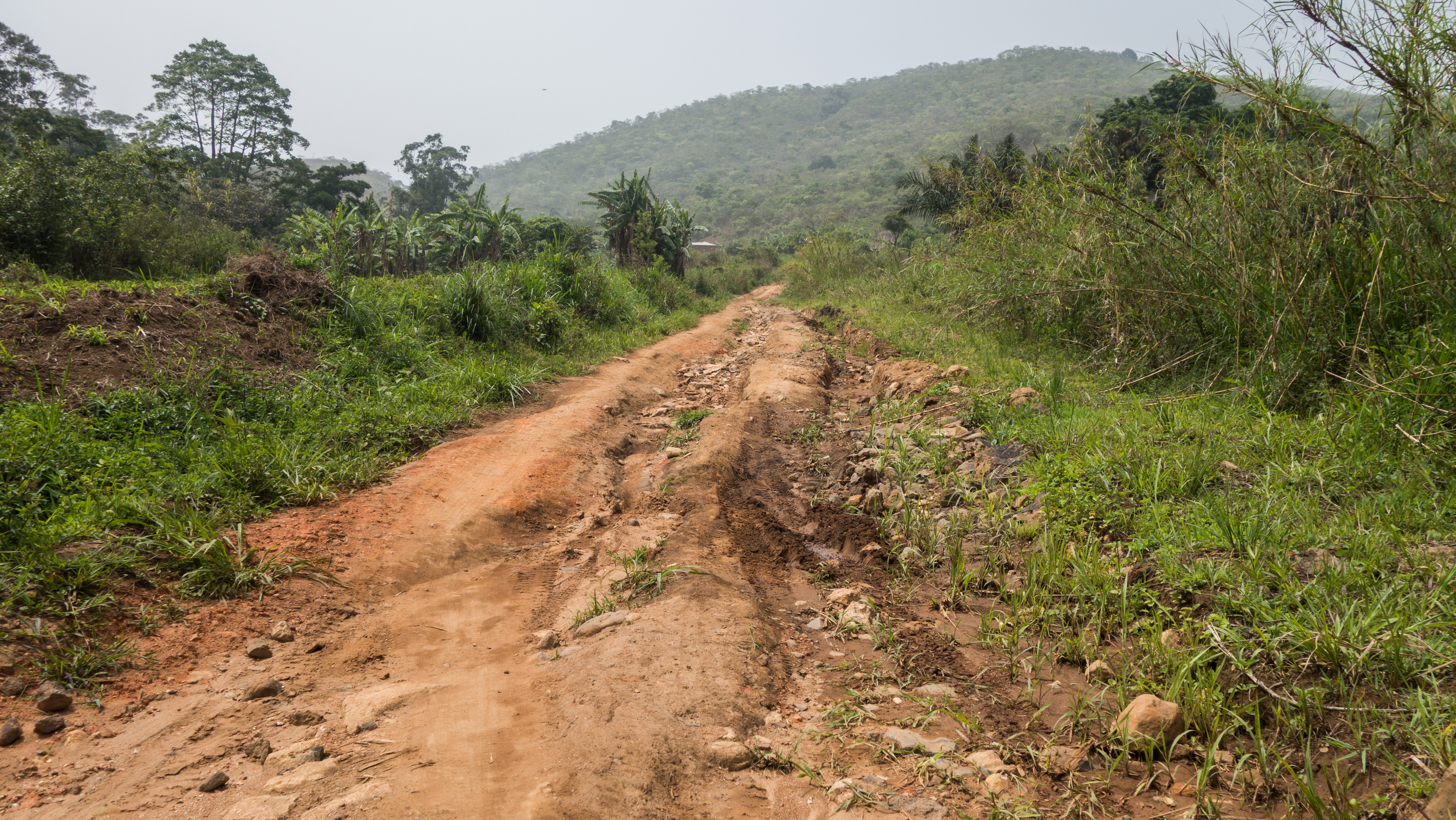
The ring road
20131120-DSC_5056
Day382-Bike-131120
20150402-6150
20131120-DSC_5047
20131120-DSC_5048
20131120-DSC_5050
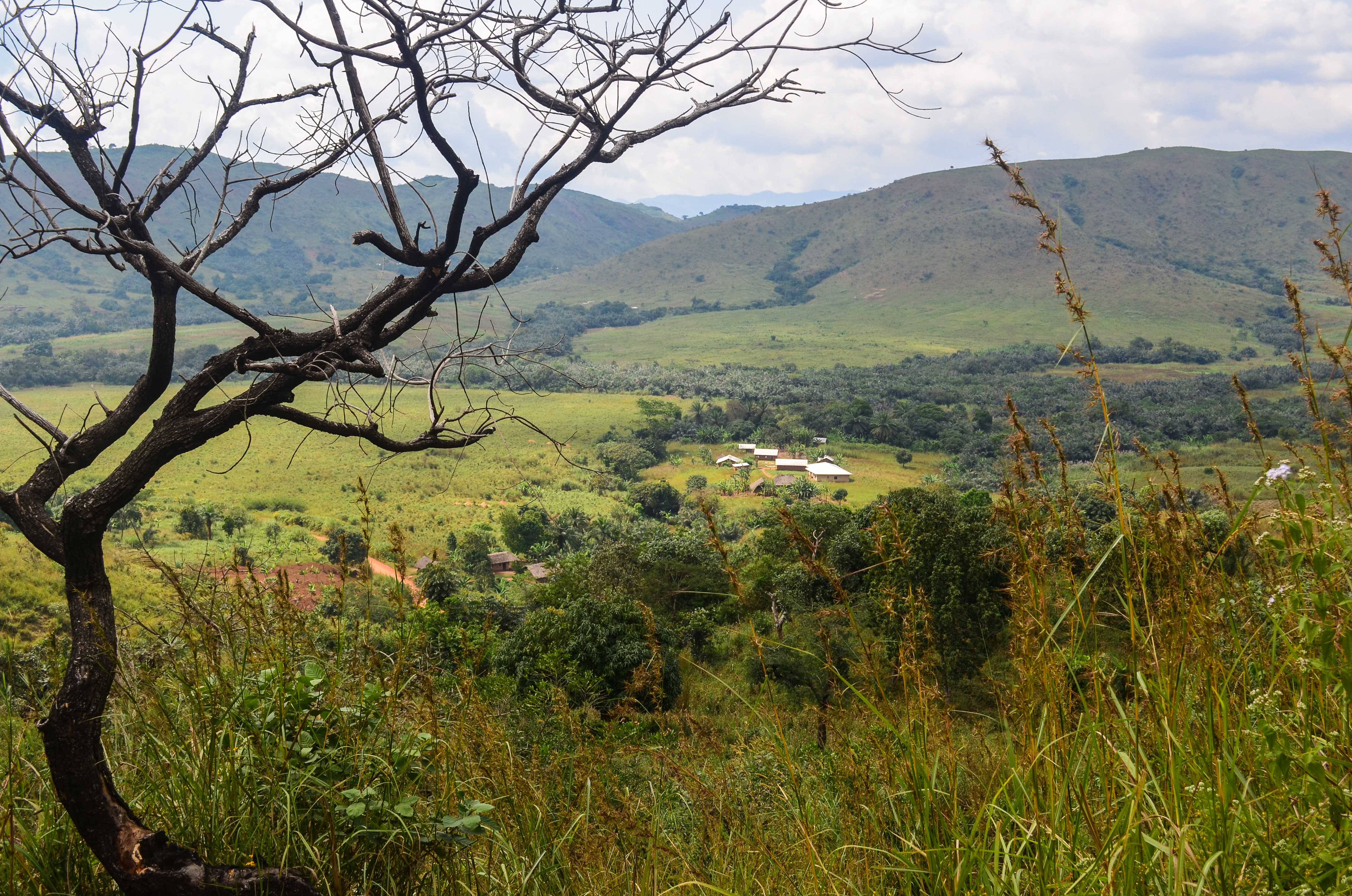
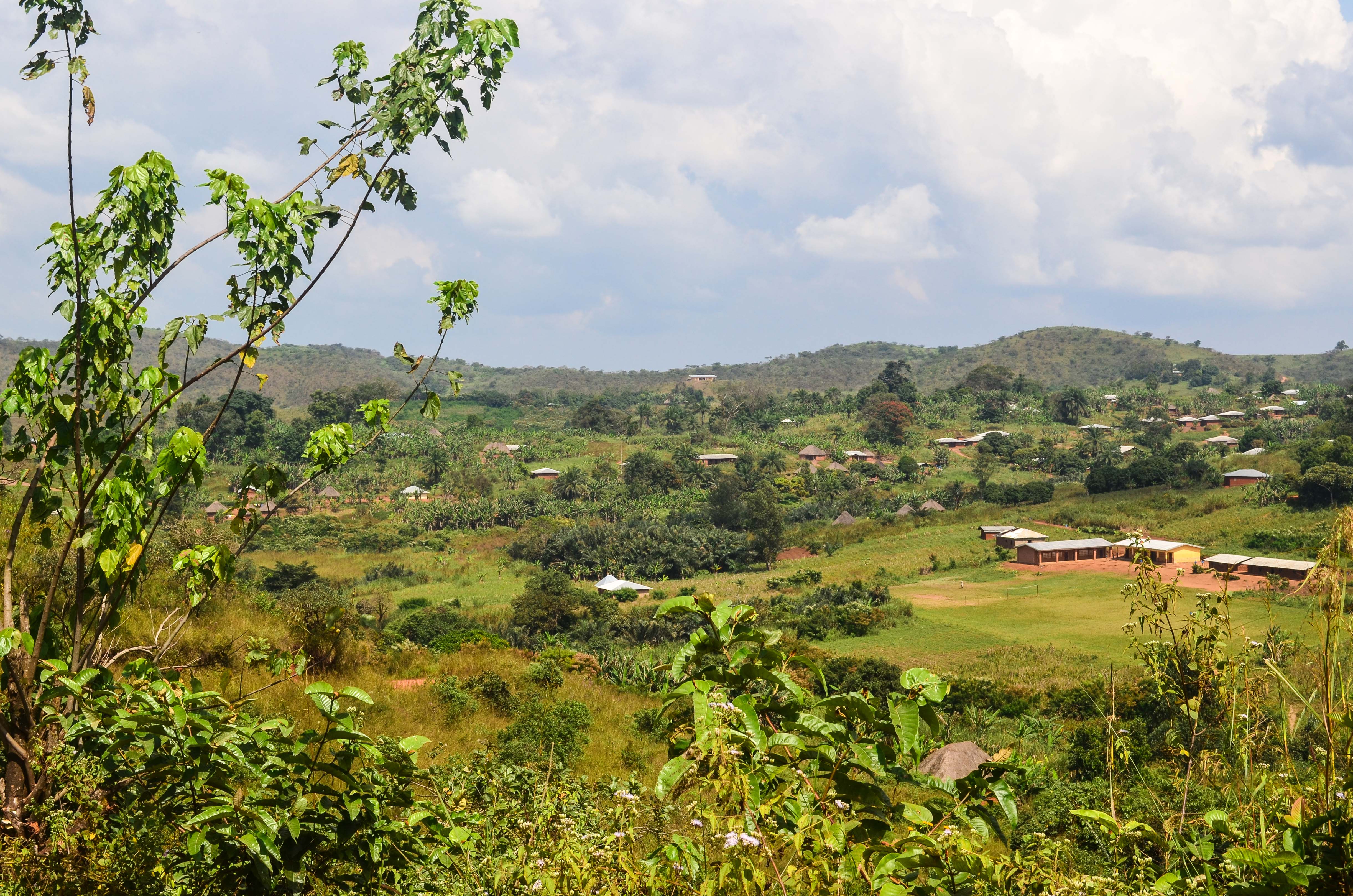
The Northern Grassfields
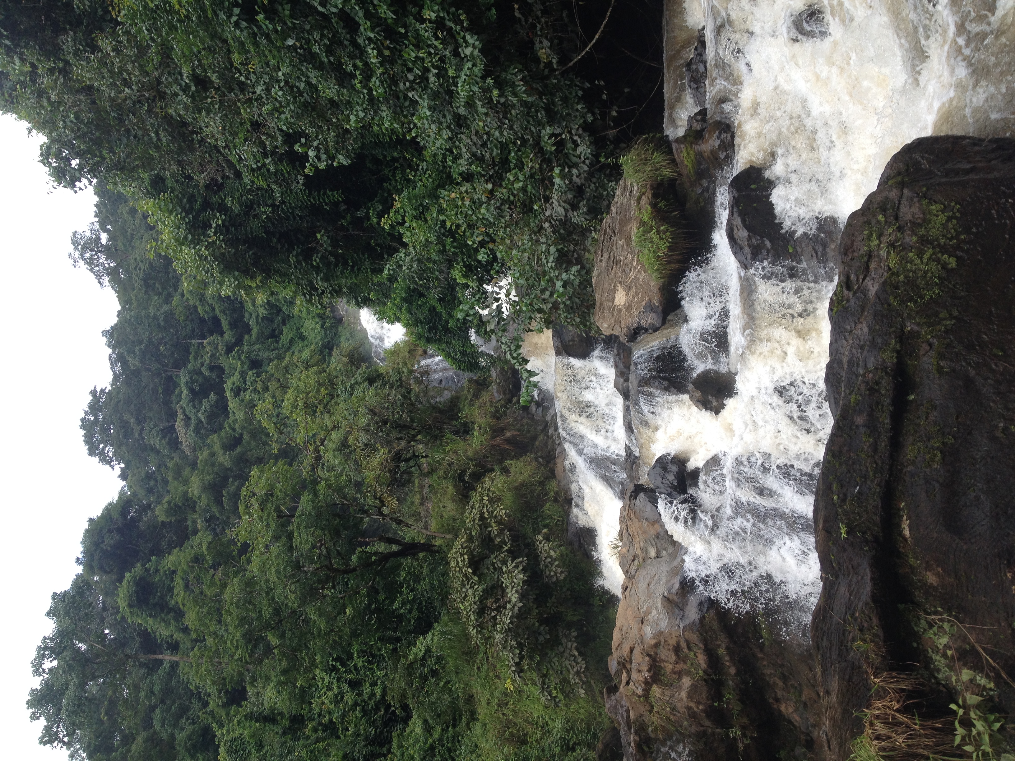
Ndzim Falls
20150402-6156
Topographic Map of Menchum, Cameroon
Find elevation by address:

Places in Menchum, Cameroon:
Places near Menchum, Cameroon:
Recent Searches:
- Elevation of Holloway Ave, San Francisco, CA, USA
- Elevation of Norfolk, NY, USA
- Elevation of - San Marcos Pass Rd, Santa Barbara, CA, USA
- Elevation of th Pl SE, Issaquah, WA, USA
- Elevation of 82- D Rd, Captain Cook, HI, USA
- Elevation of Harlow CM20 2PR, UK
- Elevation of Shenyang Agricultural University, Dong Ling Lu, Shen He Qu, Shen Yang Shi, Liao Ning Sheng, China
- Elevation of Alpha Dr, Melbourne, FL, USA
- Elevation of Hiroshima University, 1-chōme-3-2 Kagamiyama, Higashihiroshima, Hiroshima -, Japan
- Elevation of Bernina Dr, Lake Arrowhead, CA, USA