Elevation of Melton Smith Rd, Poplarville, MS, USA
Location: United States > Mississippi > Pearl River County > Poplarville >
Longitude: -89.473386
Latitude: 30.7052135
Elevation: 88m / 289feet
Barometric Pressure: 100KPa
Elevation Map:
Satellite Map:
Related Photos:

Catahoula Creek, South of Savannah, MS

forward chipped view

2010-08-02-14-41-45-606

2010-08-02-14-41-16-588

New tent

#WDW17

#WDW17

The Haas-Cienda RV Park in Mississippi

The Haas-Cienda RV Park in Mississippi

Gold Tips

Free meal with purchase of 100 gallons of fuel

McNeill Travel Plaza

I-59

Ma Bell

Not really all that convenient. They still have a smoking section in the #restaurant! Yuck!
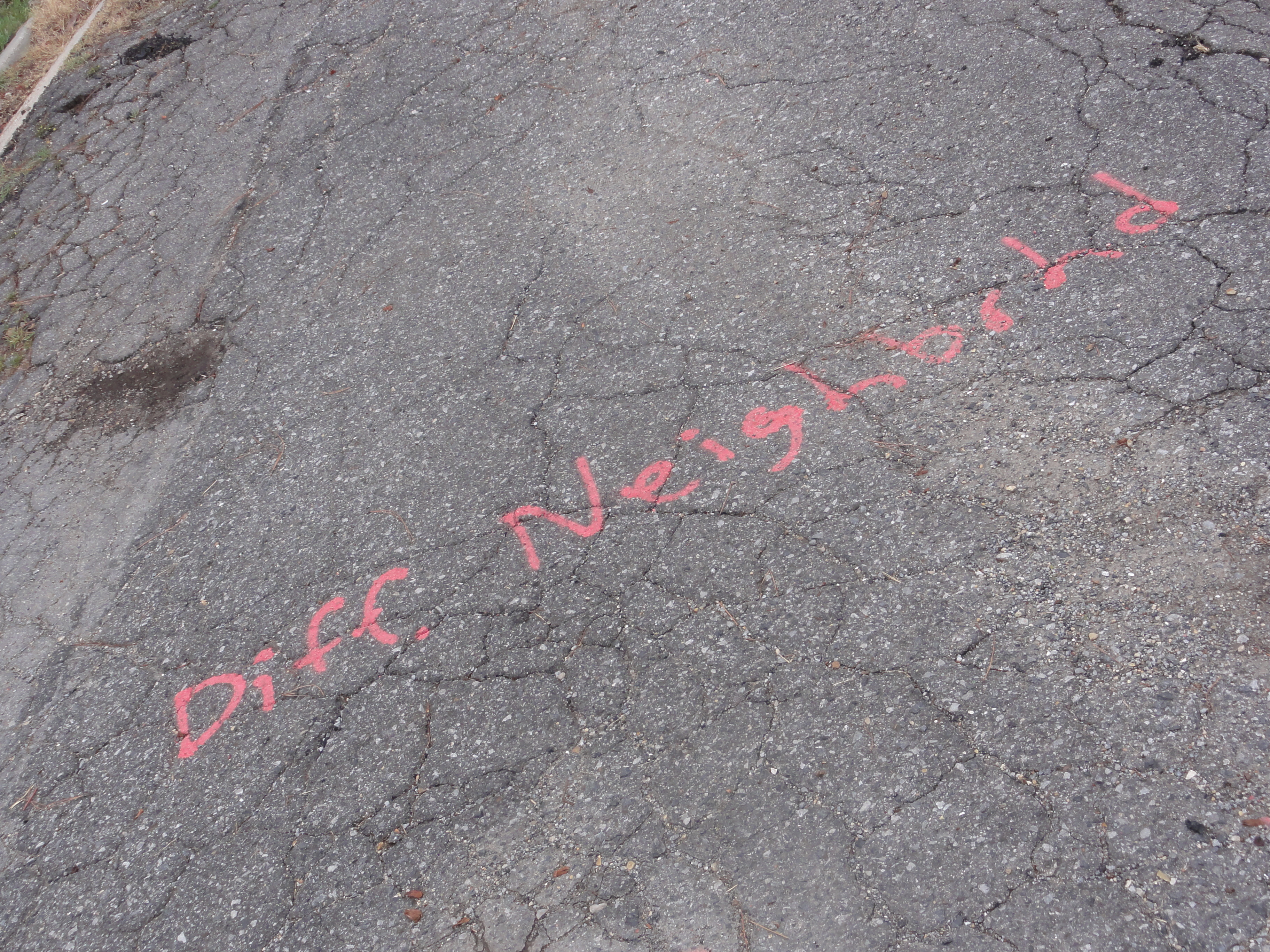
Diff. Neighbrhd
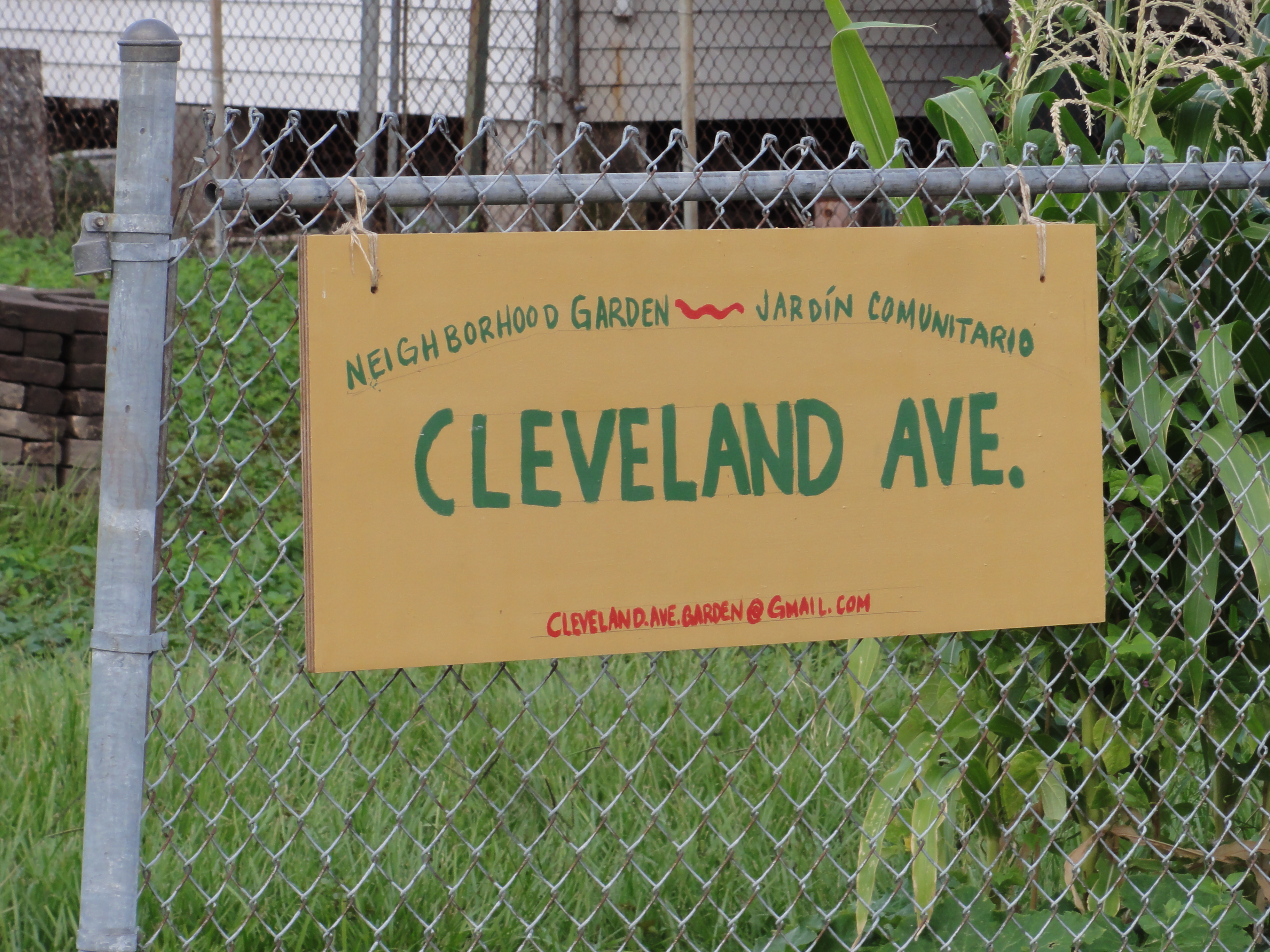
Cleveland Ave.
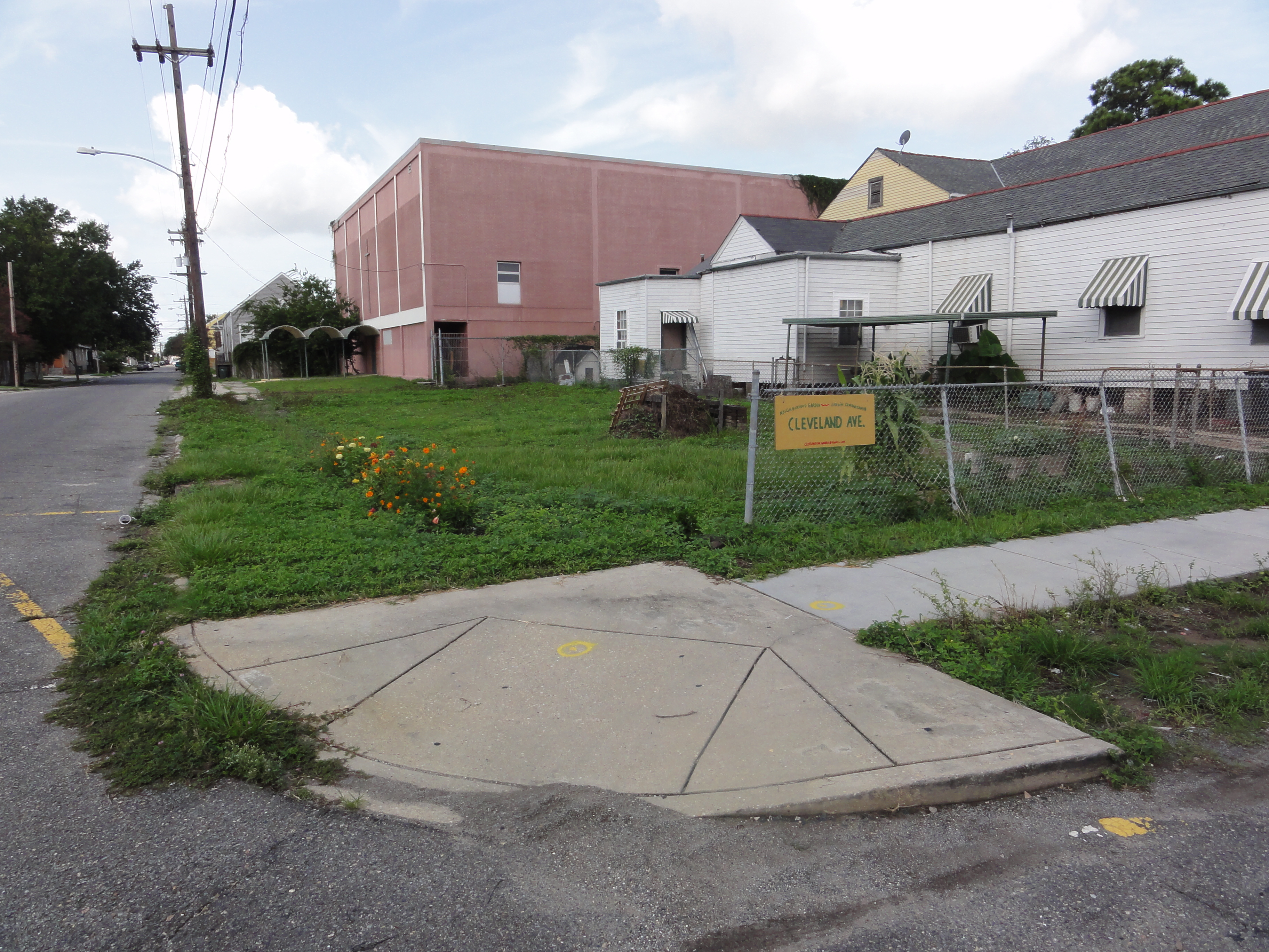
Another Community Garden

The Wolf River Roar Shack ;-p

Pool over yonder

2011-03-24-10-20-59-035

2011-02-02-12-20-05-103
Mississippi 109
Topographic Map of Melton Smith Rd, Poplarville, MS, USA
Find elevation by address:

Places near Melton Smith Rd, Poplarville, MS, USA:
32113 Anner Rd
Road 205
Woods Road
65 Farmer Rd
81 Gilligan Rd
29270 Anner Rd
2753 Silver Run Rd
Derby White Sand Rd, Poplarville, MS, USA
MS-53, Perkinston, MS, USA
1505 Ceasar Rd
Lakeside Drive
Silver Run Lakes
151 Acolapisa Trce
85 Doubloon Dr
60 Flurry Dr
Anchor Lake Road & Lumpkin Road
12 Monroe Wallace Rd
34 Hawkins Dr
West Union Road
Recent Searches:
- Elevation of Hercules Dr, Colorado Springs, CO, USA
- Elevation of Szlak pieszy czarny, Poland
- Elevation of Griffing Blvd, Biscayne Park, FL, USA
- Elevation of Kreuzburger Weg 13, Düsseldorf, Germany
- Elevation of Gateway Blvd SE, Canton, OH, USA
- Elevation of East W.T. Harris Boulevard, E W.T. Harris Blvd, Charlotte, NC, USA
- Elevation of West Sugar Creek, Charlotte, NC, USA
- Elevation of Wayland, NY, USA
- Elevation of Steadfast Ct, Daphne, AL, USA
- Elevation of Lagasgasan, X+CQH, Tiaong, Quezon, Philippines