Elevation of Mel Lake Rd, Blind River, ON P0R 1B0, Canada
Location: Canada > Ontario > Algoma District > North Shore >
Longitude: -82.826876
Latitude: 46.1795812
Elevation: 181m / 594feet
Barometric Pressure: 99KPa
Elevation Map:
Satellite Map:
Related Photos:

Where the Mississagi river meets Lake Huron
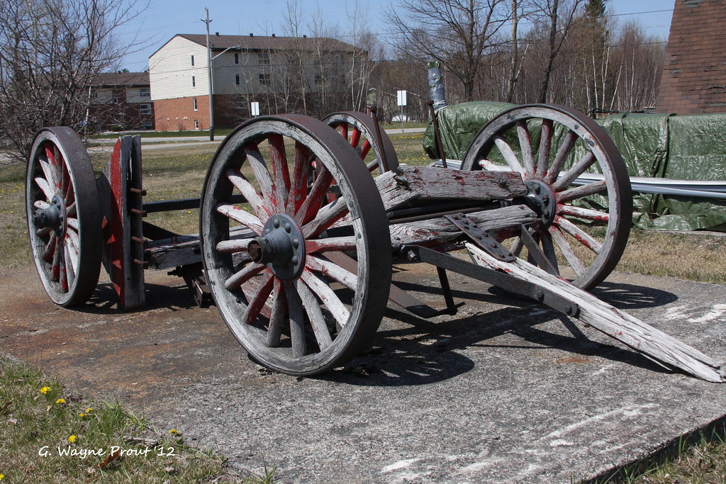
Logging Wagon - Timber Village Museum - Blind River Ontario Canada
View from the dock #nofilter
Turnbull Island

Motel 3-D ::: HDR/Raw CrossView Stereoscopy

Nice night Blind River

Cataract River, near Blind River, ON
201307-FTb-b025
october - bootleggers bay

Long Point Cove picking blueberries

Long Point Cove

Beardrop Denny and Sharon

Somewhere between Sault Ste. Marie and Sudbury. #mhgreatsummeradventure2015
Topographic Map of Mel Lake Rd, Blind River, ON P0R 1B0, Canada
Find elevation by address:

Places near Mel Lake Rd, Blind River, ON P0R 1B0, Canada:
Algoma Mills
P0r 1a0
1015 Hwy 17
Vivian Blvd, Blind River, ON P0R 1B0, Canada
P0r 1b0
Long St, Spragge, ON P0R 1K0, Canada
Short St, Spragge, ON P0R 1K0, Canada
Blind River
North Shore
Spragge
64 Axmith Ave
1 Washington Crescent
Serpent River
Bouck Road
Elliot Lake
89 Farquhar Pl
Silver Water
Manitoulin, Unorganized, West Part
ON-, Silver Water, ON P0P 1Y0, Canada
P0p 1e0
Recent Searches:
- Elevation of 1 Zion Park Blvd, Springdale, UT, USA
- Elevation of Ganderbal
- Elevation map of Konkan Division, Maharashtra, India
- Elevation of Netaji Nagar, Hallow Pul, Kurla, Mumbai, Maharashtra, India
- Elevation of Uralsk, Kazakhstan
- Elevation of 45- Kahana Dr, Honokaa, HI, USA
- Elevation of New Mexico 30, NM-30, Española, NM, USA
- Elevation of Santmyer Way, Charles Town, WV, USA
- Elevation of Riserva Naturale Lago di Montepulciano, Italy
- Elevation of Marjorie Lane, Marjorie Ln, Whitefield, NH, USA