Elevation of Medina Lake, Texas, USA
Location: United States > Texas > Bandera County > Lakehills >
Longitude: -98.936953
Latitude: 29.5614556
Elevation: -10000m / -32808feet
Barometric Pressure: 295KPa
Elevation Map:
Satellite Map:
Related Photos:

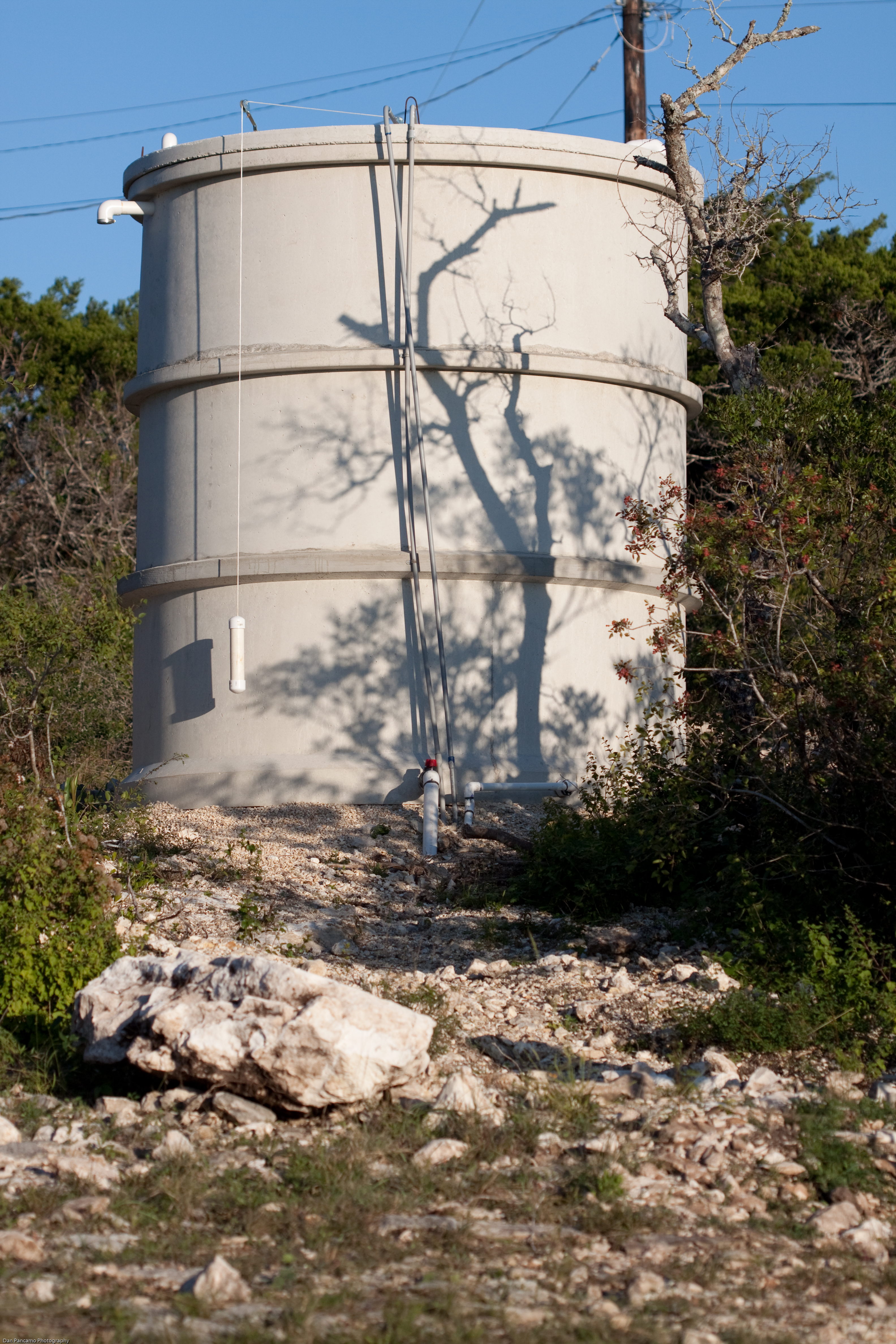
Steve & Kathy Mccombs

Steve & Kathy Mccombs

Dry Corn

Texas Ranch

IMG_0706 - Fish Eye View

Steve & Kathy Mccombs

Andys Vineyard

View from South Podre Island

8 minutes old

Little Sun

Andys Vineyard

A Fine Dam View (1)
Steve & Kathy Mccombs

Heavy and Light

A Fine Dam View (4)

Karoke at the dancing bear.

Medina Lake - 2.0

Medina Lake - 1.5

Medina Lake & Dam

Medina Lake, Texas

Mico, Texas

DSC_4881.jpg

Medina Lake-3

DSC_4538.jpg

Medina Lake-4

IMG_0137.JPG

Dry Dock

San Geronimo Creek

Eggy's Best Friend (2)

Camping time

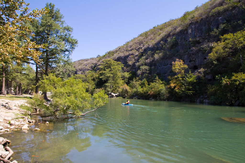
Medina Lake

Medina Lake

Medina Lake-5
Paradise Canyon

Medina River
Topographic Map of Medina Lake, Texas, USA
Find elevation by address:

Places near Medina Lake, Texas, USA:
12478 Pr 37
217 Seminole Trl
PR 37, Lakehills, TX, USA
Mico
Co Rd, Mico, TX, USA
451 Co Rd 264
184 Cedar Dr
PR 37, Lakehills, TX, USA
277 Edward Pkwy
Lakehills
350 Co Rd 2700
West Pr 1739
1130 Lakeshore Dr N
1130 Lakeshore Dr N
397 Co Rd 2744
205 Co Rd 2744
Pvt Road 180
572 View Ridge Rd
3000 Timbercreek Rd
3000 Timbercreek Rd
Recent Searches:
- Elevation of Zimmer Trail, Pennsylvania, USA
- Elevation of 87 Kilmartin Ave, Bristol, CT, USA
- Elevation of Honghe National Nature Reserve, QP95+PJP, Tongjiang, Heilongjiang, Jiamusi, Heilongjiang, China
- Elevation of Hercules Dr, Colorado Springs, CO, USA
- Elevation of Szlak pieszy czarny, Poland
- Elevation of Griffing Blvd, Biscayne Park, FL, USA
- Elevation of Kreuzburger Weg 13, Düsseldorf, Germany
- Elevation of Gateway Blvd SE, Canton, OH, USA
- Elevation of East W.T. Harris Boulevard, E W.T. Harris Blvd, Charlotte, NC, USA
- Elevation of West Sugar Creek, Charlotte, NC, USA