Elevation of Meadowbrook Dr, Pine Grove, CA, USA
Location: United States > California > Amador County > Pine Grove >
Longitude: -120.61889
Latitude: 38.407213
Elevation: 781m / 2562feet
Barometric Pressure: 92KPa
Elevation Map:
Satellite Map:
Related Photos:

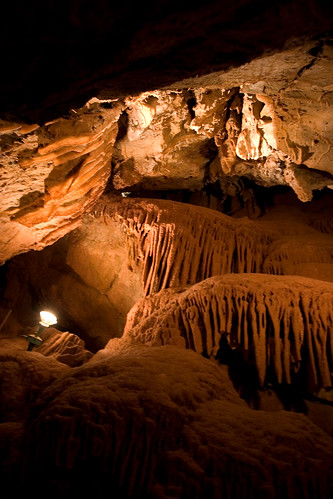
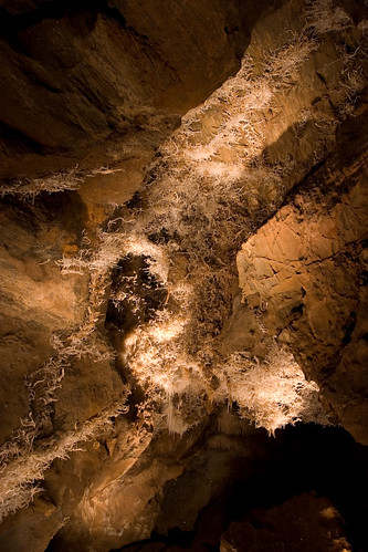
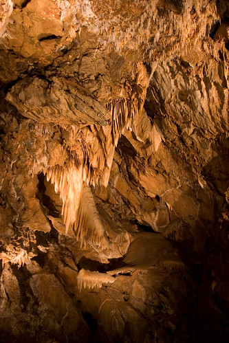
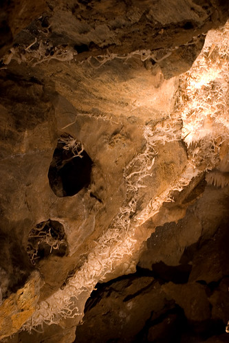
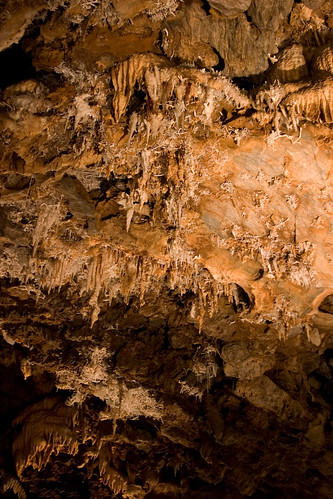
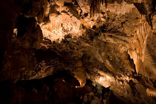
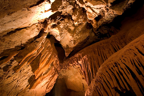
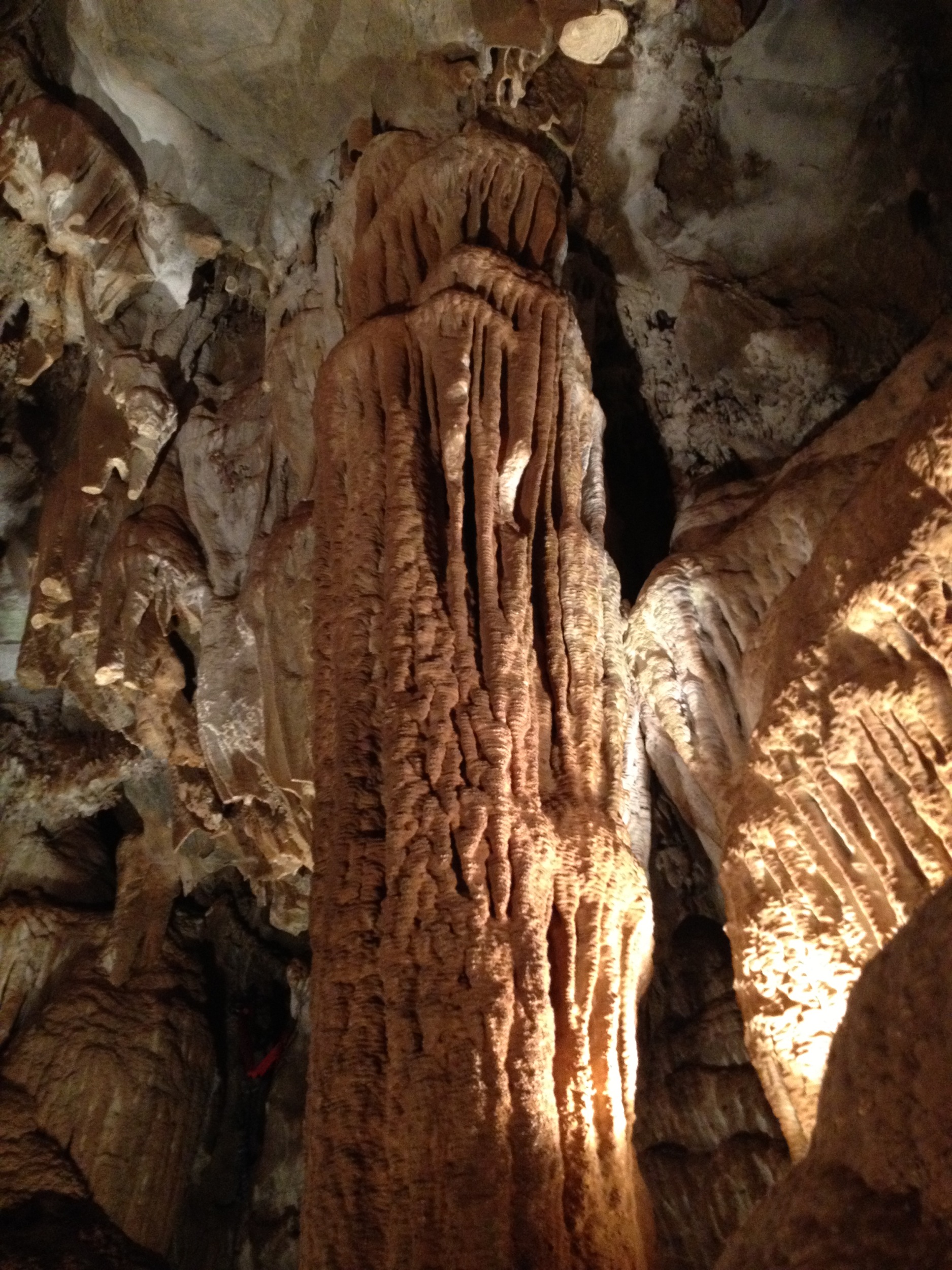
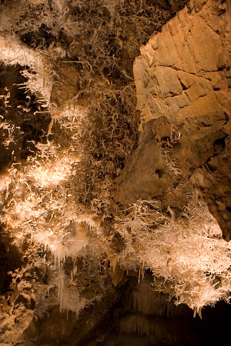
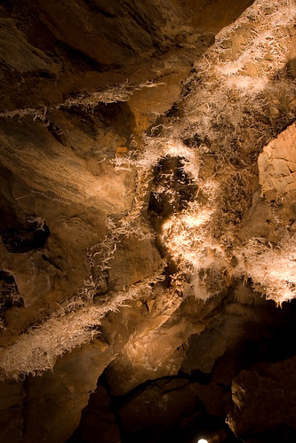
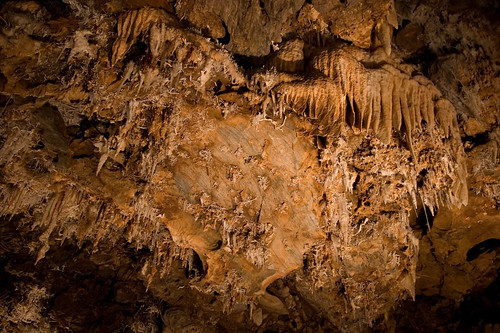
Black Chasm Cavern

Indian Grinding Rock
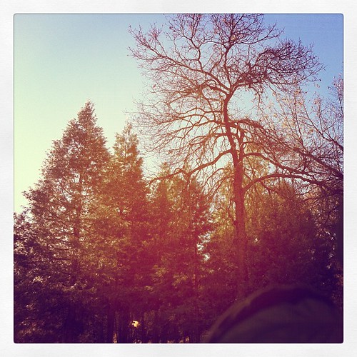
This is the view from my grandpa's front porch. I wouldn't mind waking up to this every morning. #photooftheday

Outside the Cheese Shop

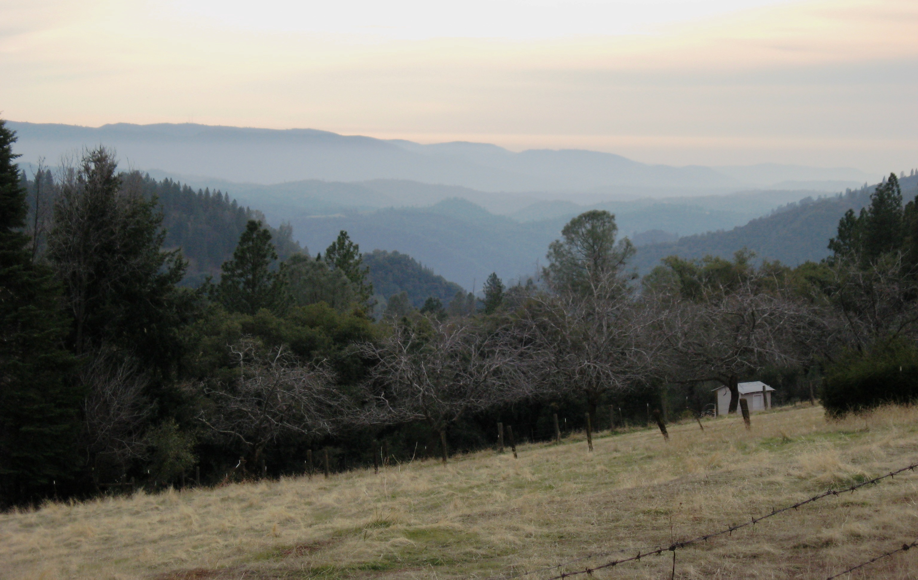
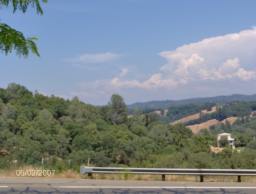
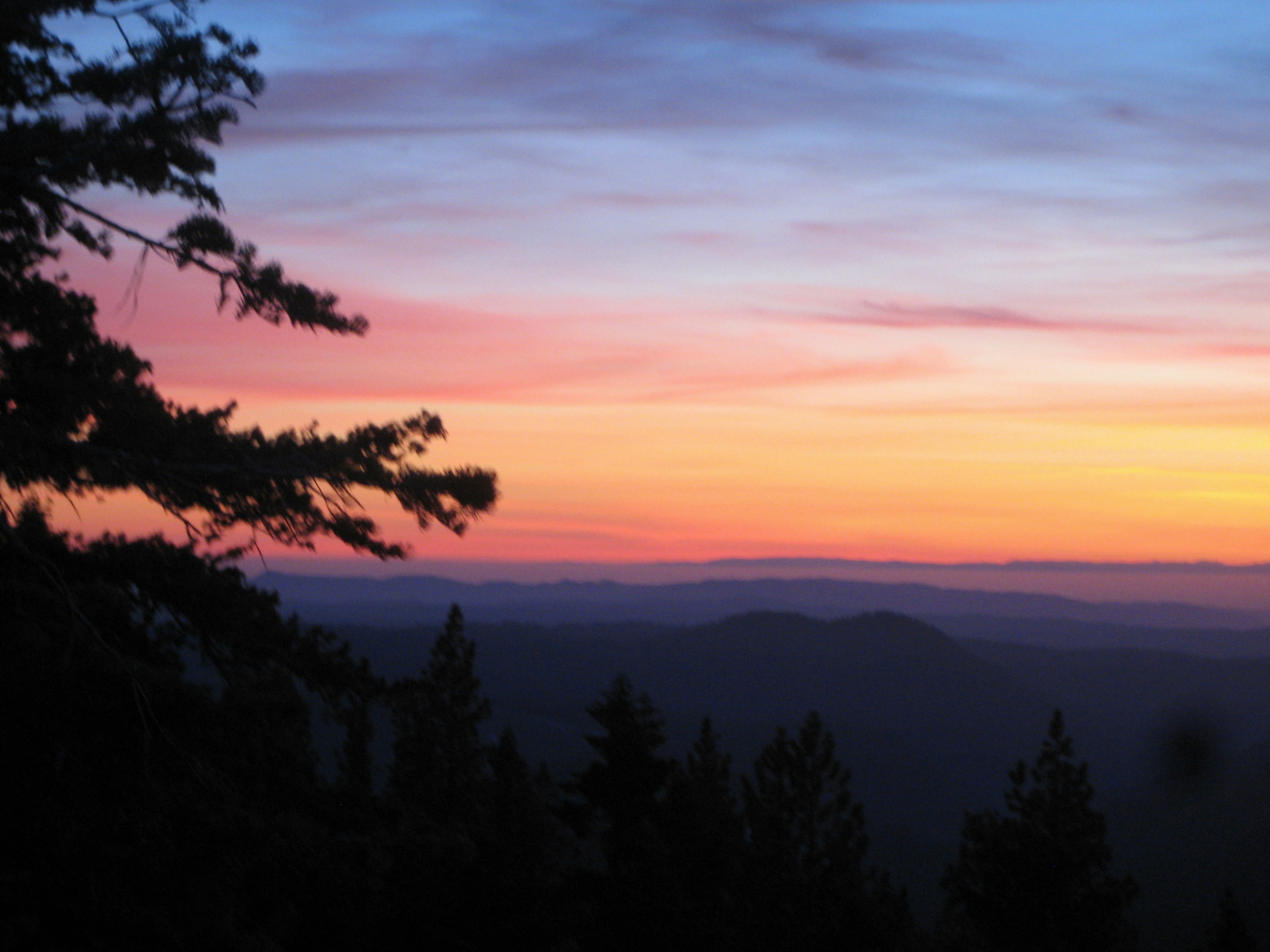
Nice Mountain View 1
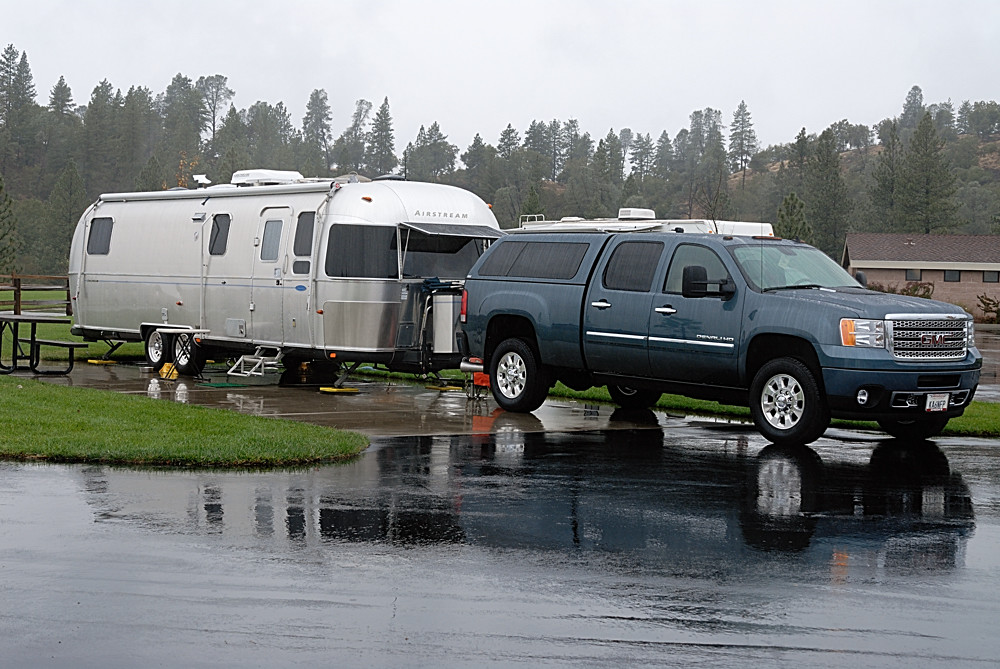
Rainy view of our 2004 30' Classic Airstream
Nice View 2

St. Bernard's Church

Jackson, California
Jackson, CA
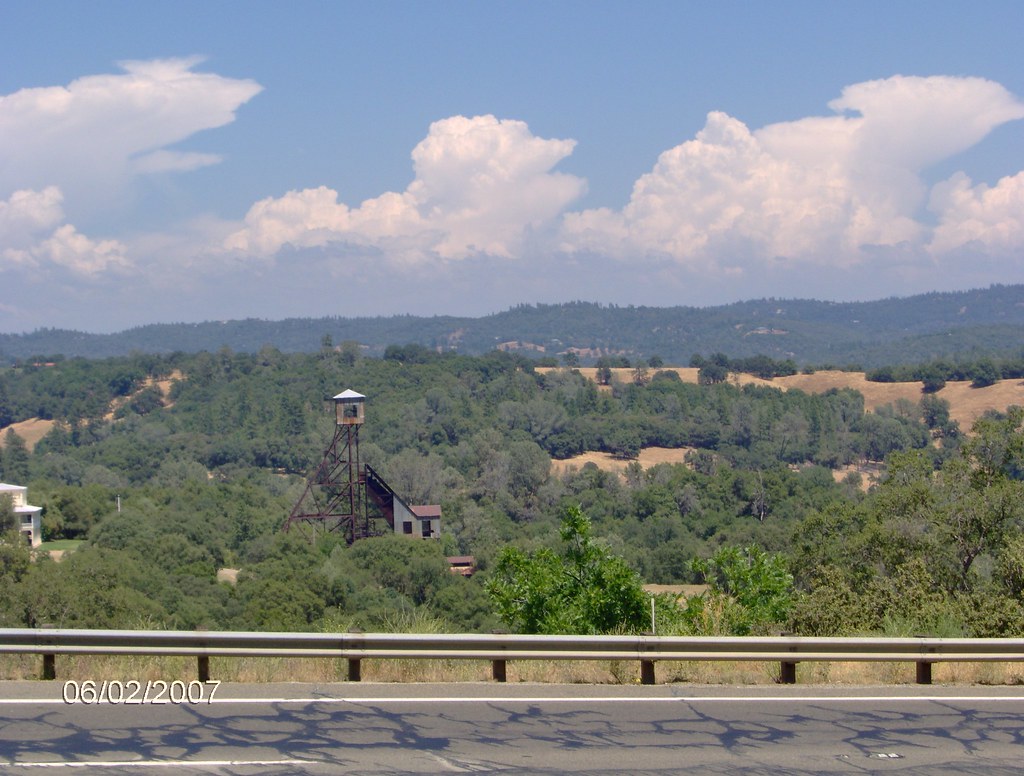
Argonaut Mine

Nice View 3
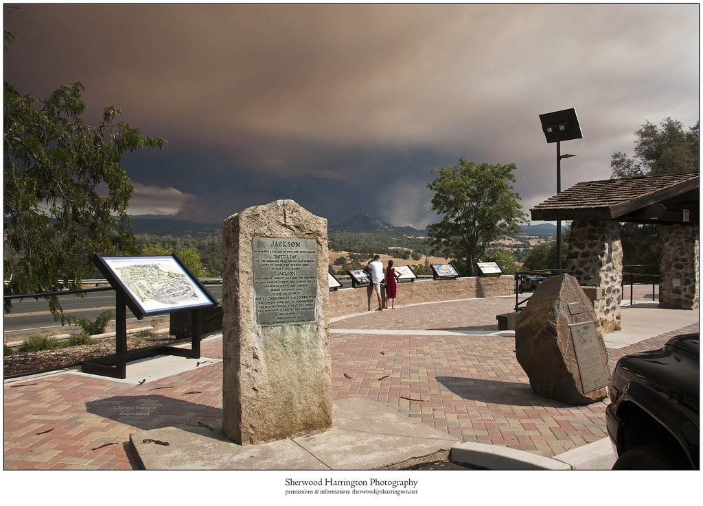
Butte Fire from the Highway 49 Vista Point, Jackson
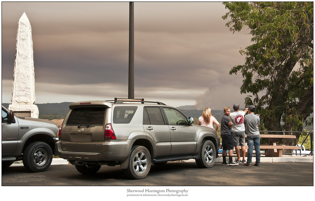
Watching Smoke

The Veins of an Oak at Sunset - Sutter Creek, CA
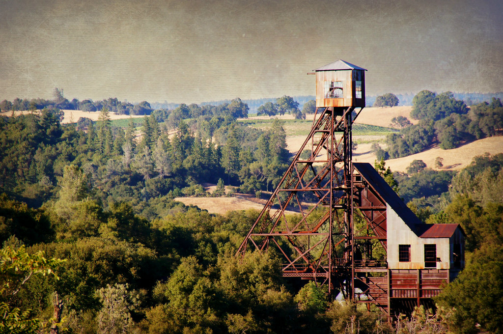
Kennedy Goldmine Headframe
CRW_7927-17
CRW_7990-54
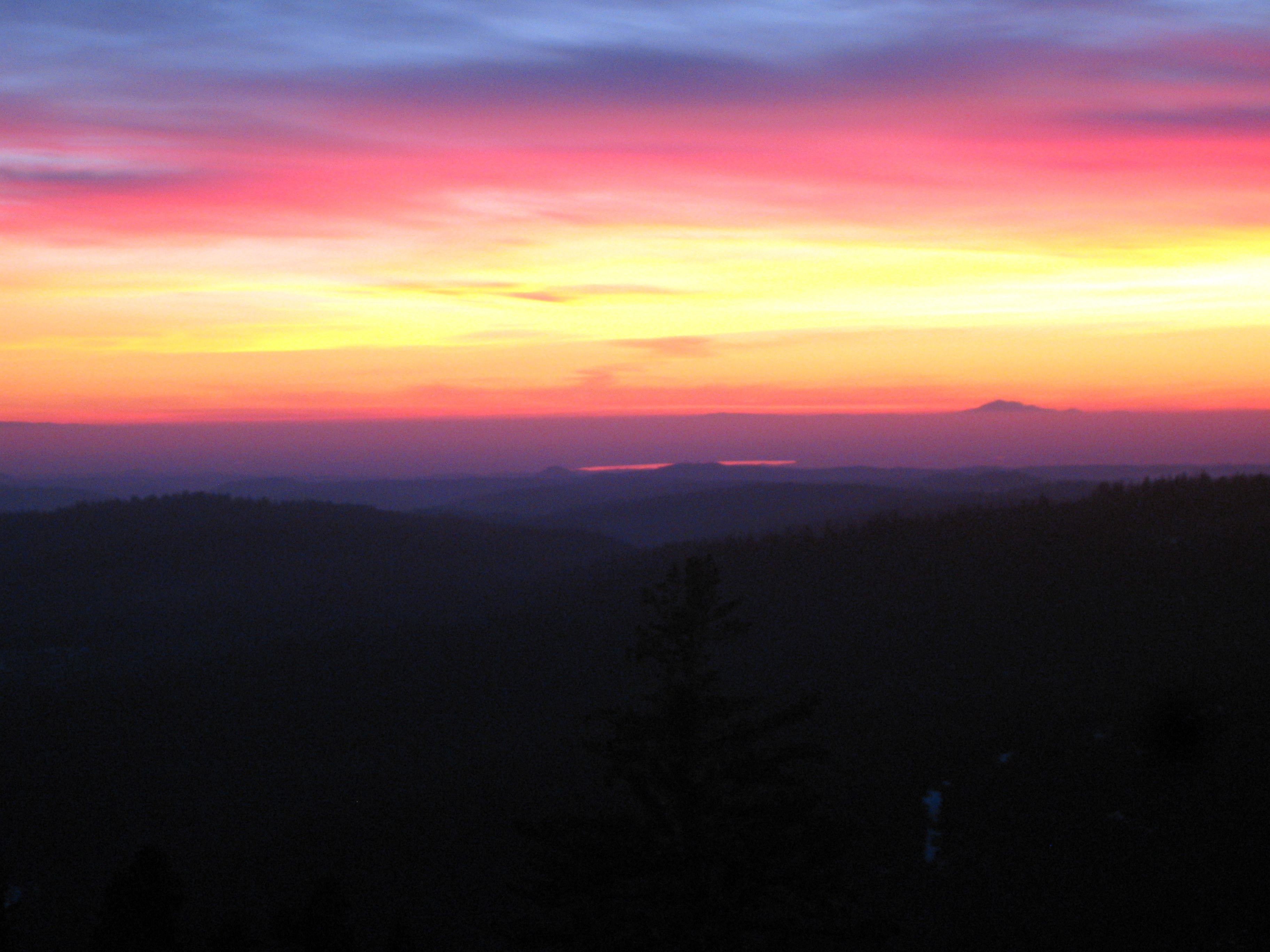
Painted Sky
CRW_7967-42
CRW_7988-53

#cows #hills #california #winter #iloveca
Living Color
CRW_7973-44

Camera Roll-1234
CRW_7961-38
CRW_7924-15
Camera Roll-1234
CRW_8001-60
CRW_7991-55
CRW_7975-45

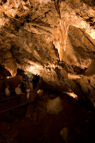
Black Chasm Cavern, Volcano, California.
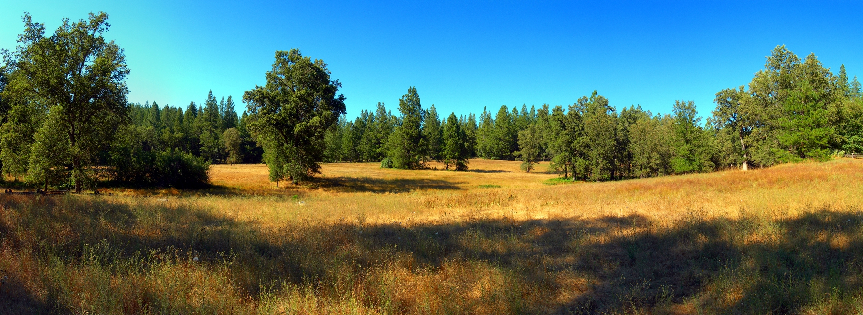
At the Edge of the Meadow

Red Sun
CRW_7959-37
Topographic Map of Meadowbrook Dr, Pine Grove, CA, USA
Find elevation by address:

Places near Meadowbrook Dr, Pine Grove, CA, USA:
13806 Shadow Glen Ct
Ranch House Estates
Church At The Cross
13645 Foothill Pines Ct
13985 Rolling Hills Ct
19301 Meadowbrook Dr
Gayla Drive
Red Corral Mini Mart
California 88 & Alaire Lane
13681 Elderberry Dr
13681 Elderberry Dr
13681 Elderberry Dr
Gayla Drive
13610 Redbud Ln
California 88 & California 26
Sierra Yard Supply & Equipment
Pioneer Volcano Road & California 88
22529 Madrone Dr
Amador Automotive
Pioneer Volcano Road & Diamond View Drive
Recent Searches:
- Elevation of Corso Fratelli Cairoli, 35, Macerata MC, Italy
- Elevation of Tallevast Rd, Sarasota, FL, USA
- Elevation of 4th St E, Sonoma, CA, USA
- Elevation of Black Hollow Rd, Pennsdale, PA, USA
- Elevation of Oakland Ave, Williamsport, PA, USA
- Elevation of Pedrógão Grande, Portugal
- Elevation of Klee Dr, Martinsburg, WV, USA
- Elevation of Via Roma, Pieranica CR, Italy
- Elevation of Tavkvetili Mountain, Georgia
- Elevation of Hartfords Bluff Cir, Mt Pleasant, SC, USA