Elevation of Meadow Fork Rd, Hot Springs, NC, USA
Location: United States > North Carolina > Madison County > 8, Spring Creek >
Longitude: -82.902989
Latitude: 35.784944
Elevation: 832m / 2730feet
Barometric Pressure: 92KPa
Elevation Map:
Satellite Map:
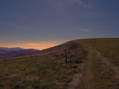
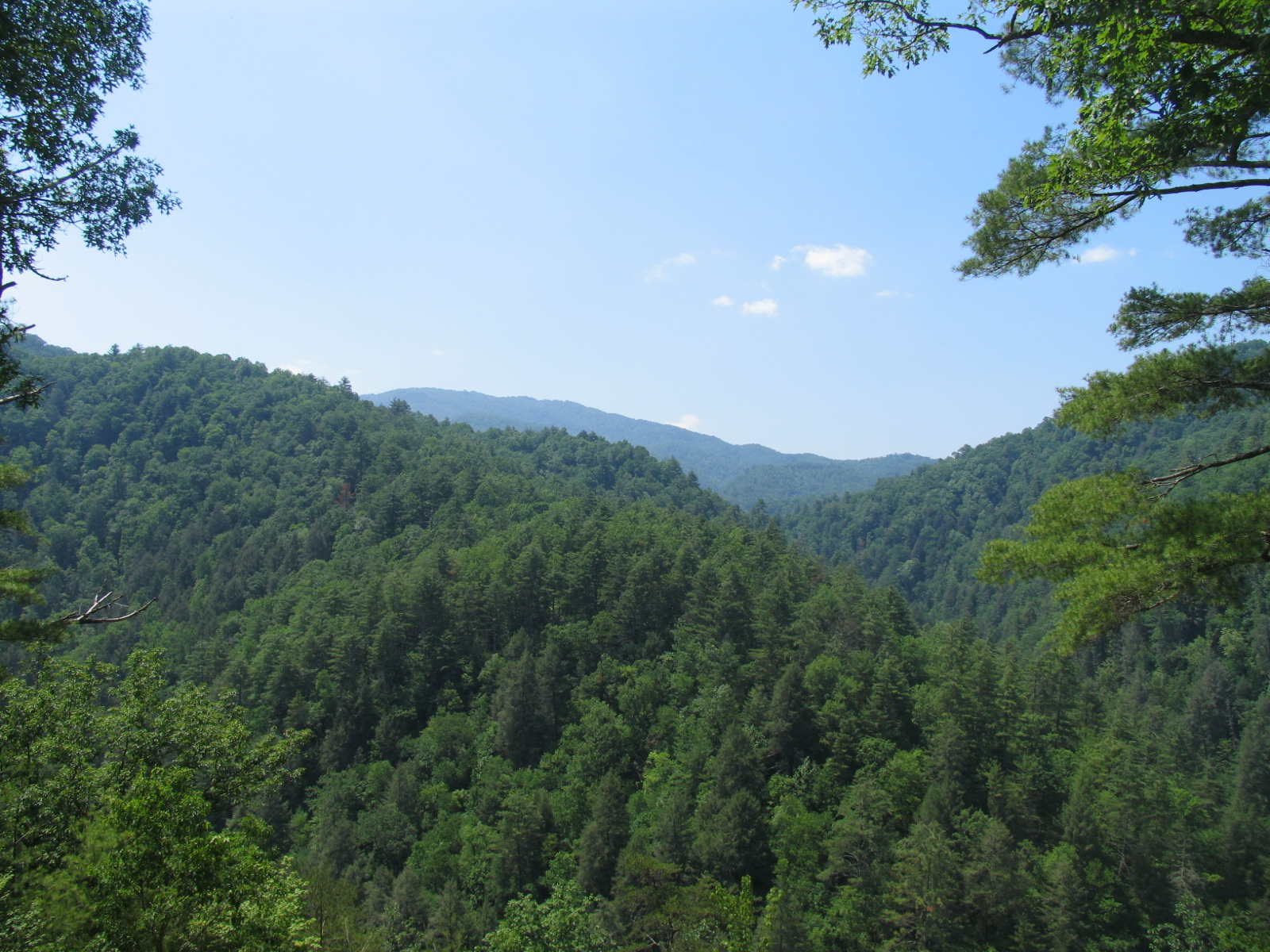
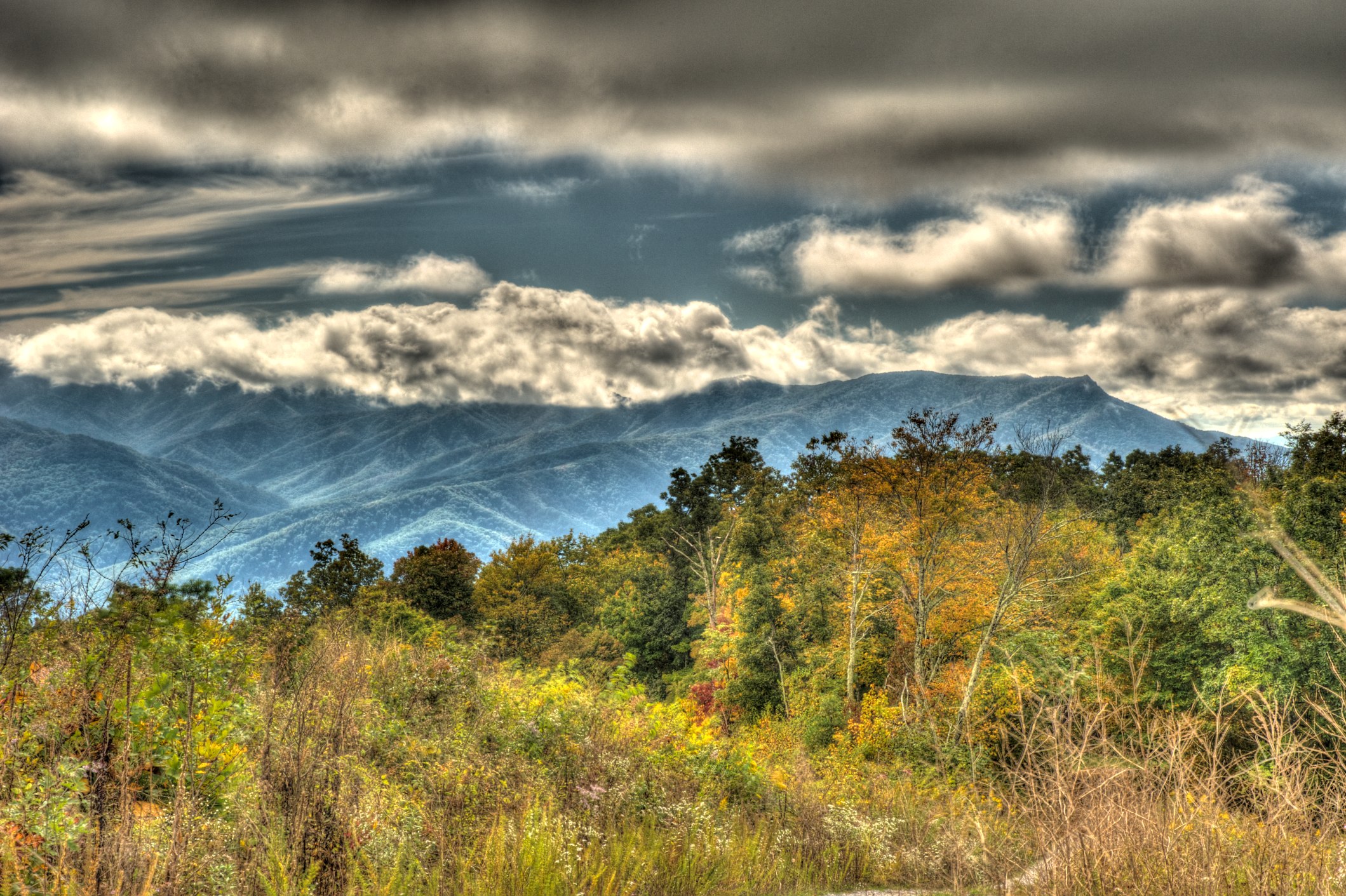
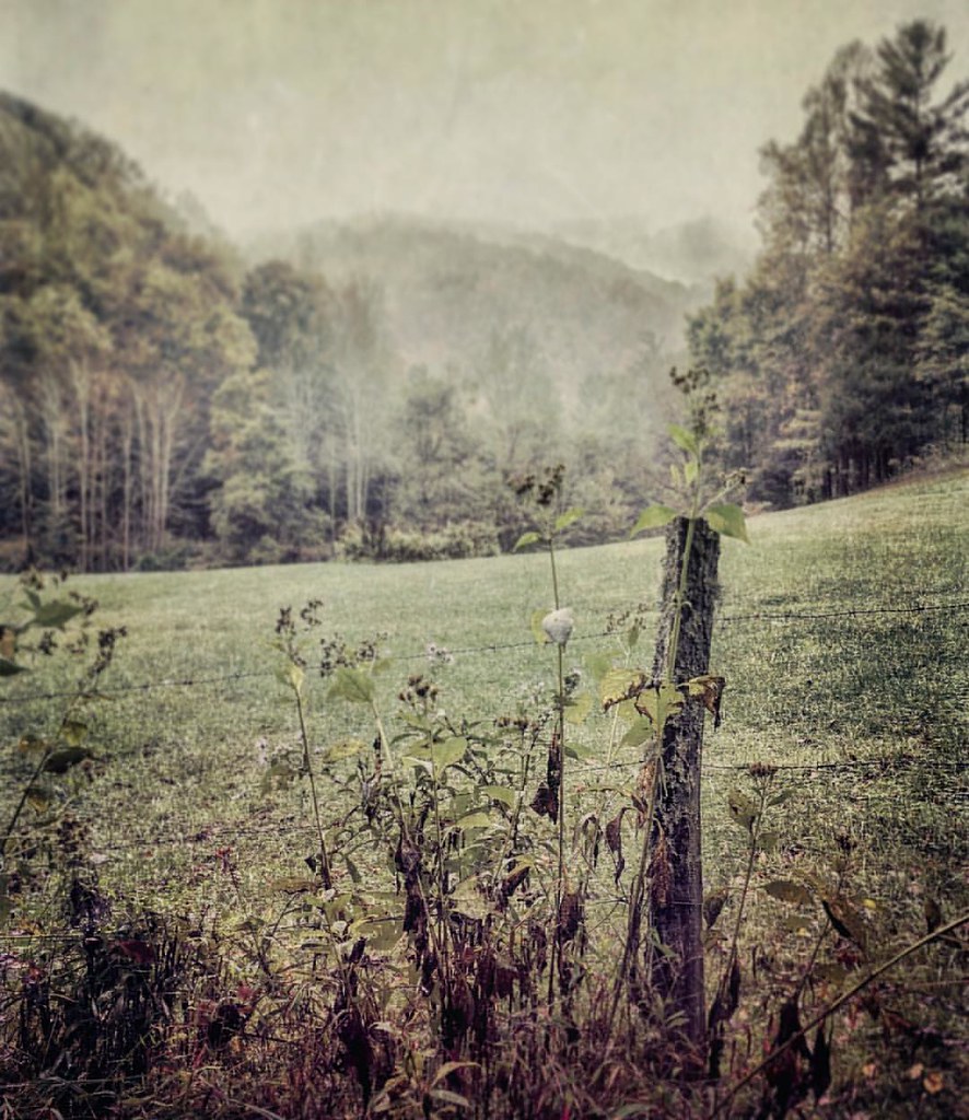
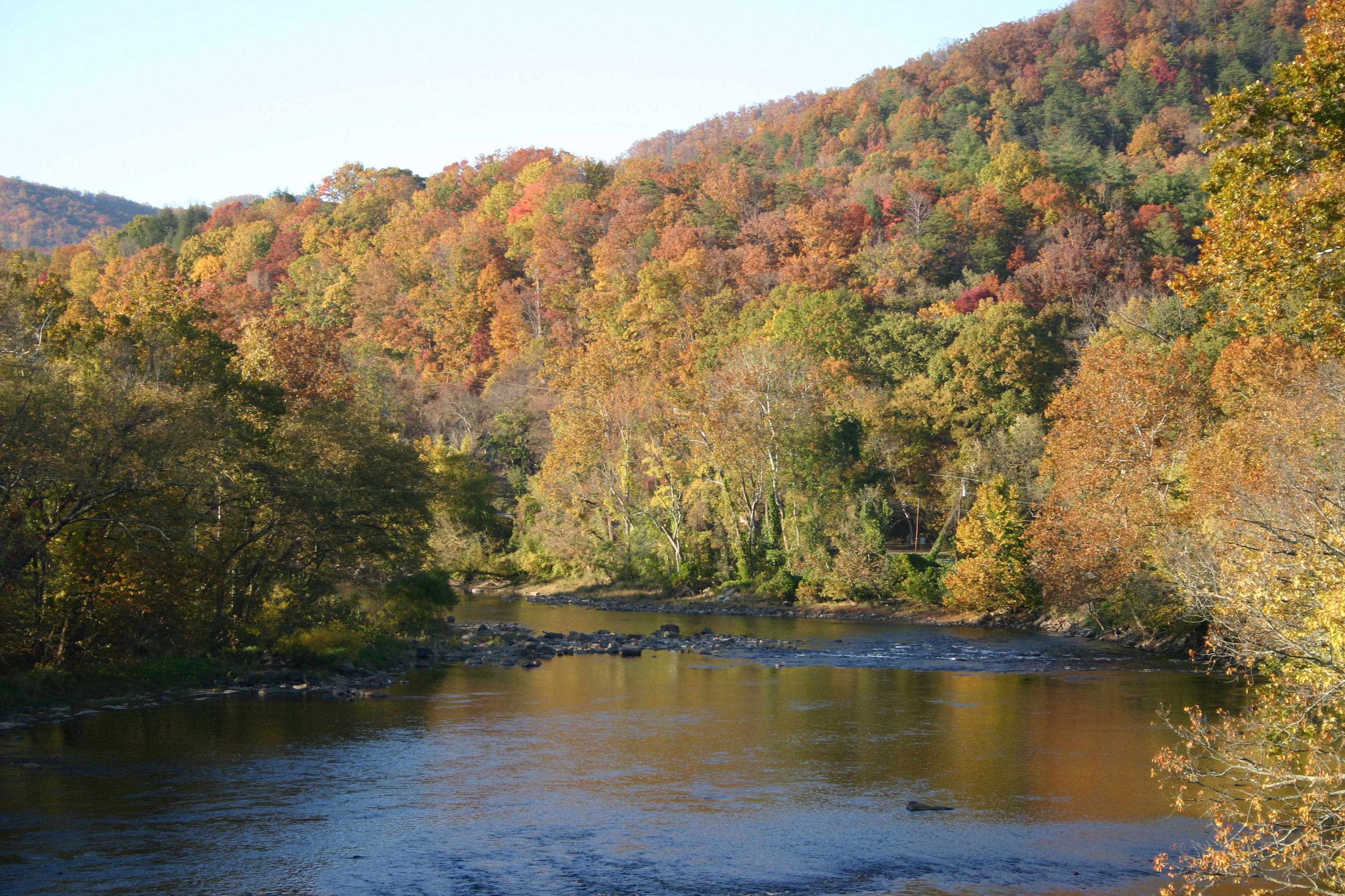
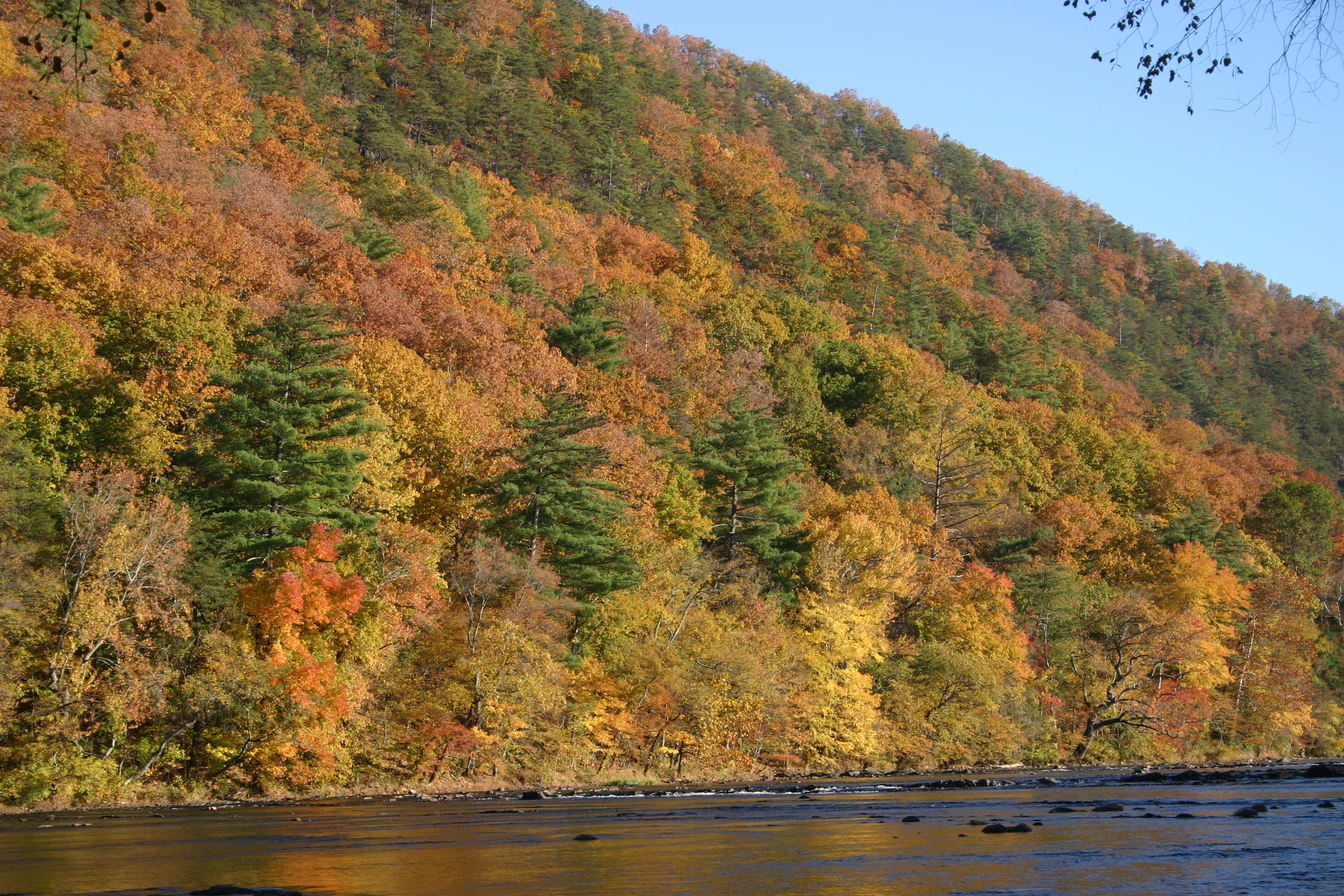
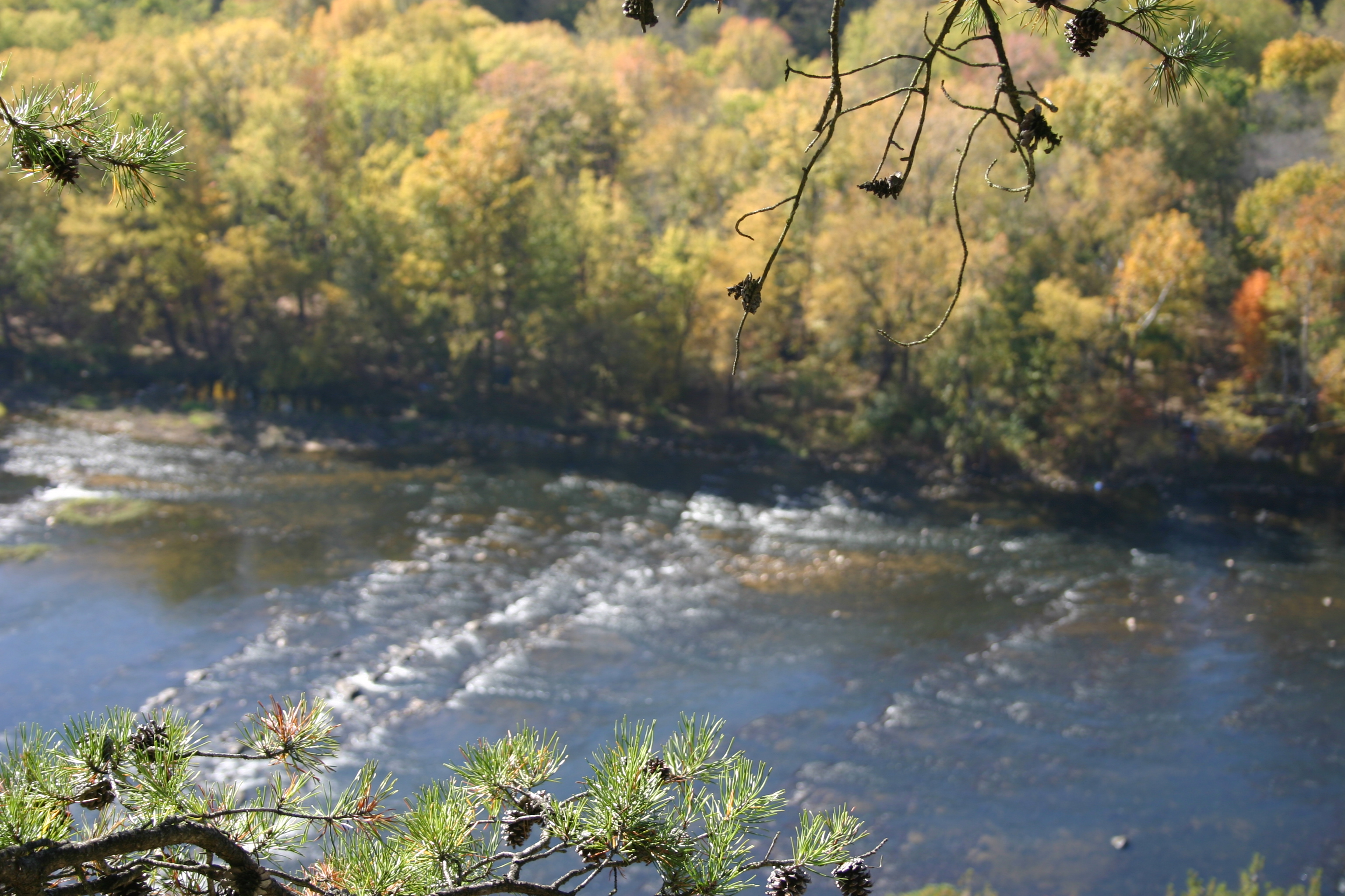
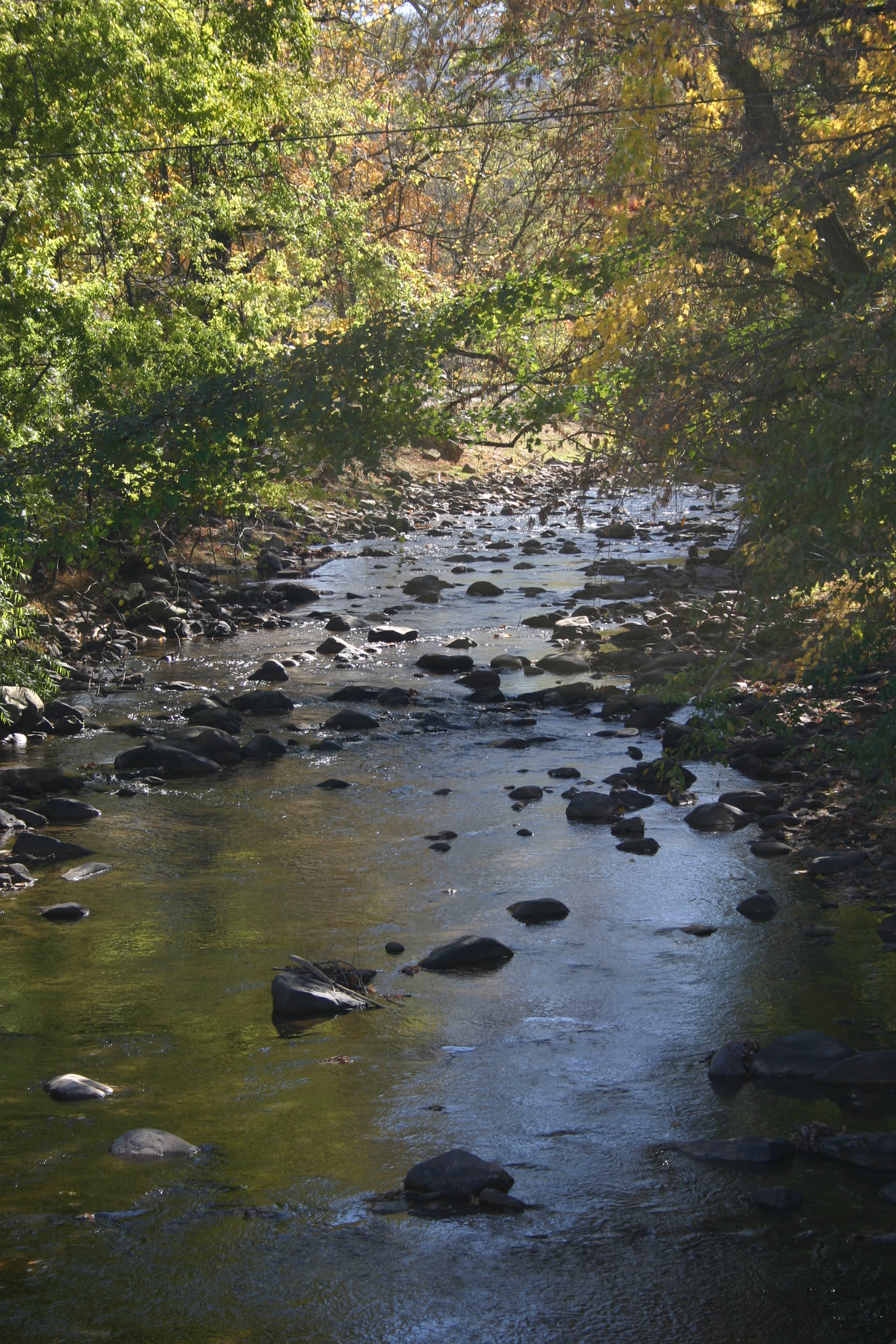
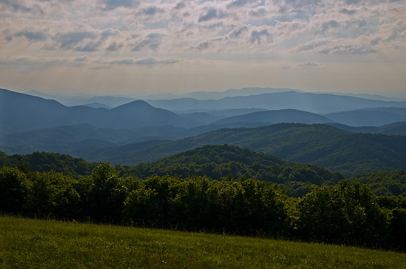
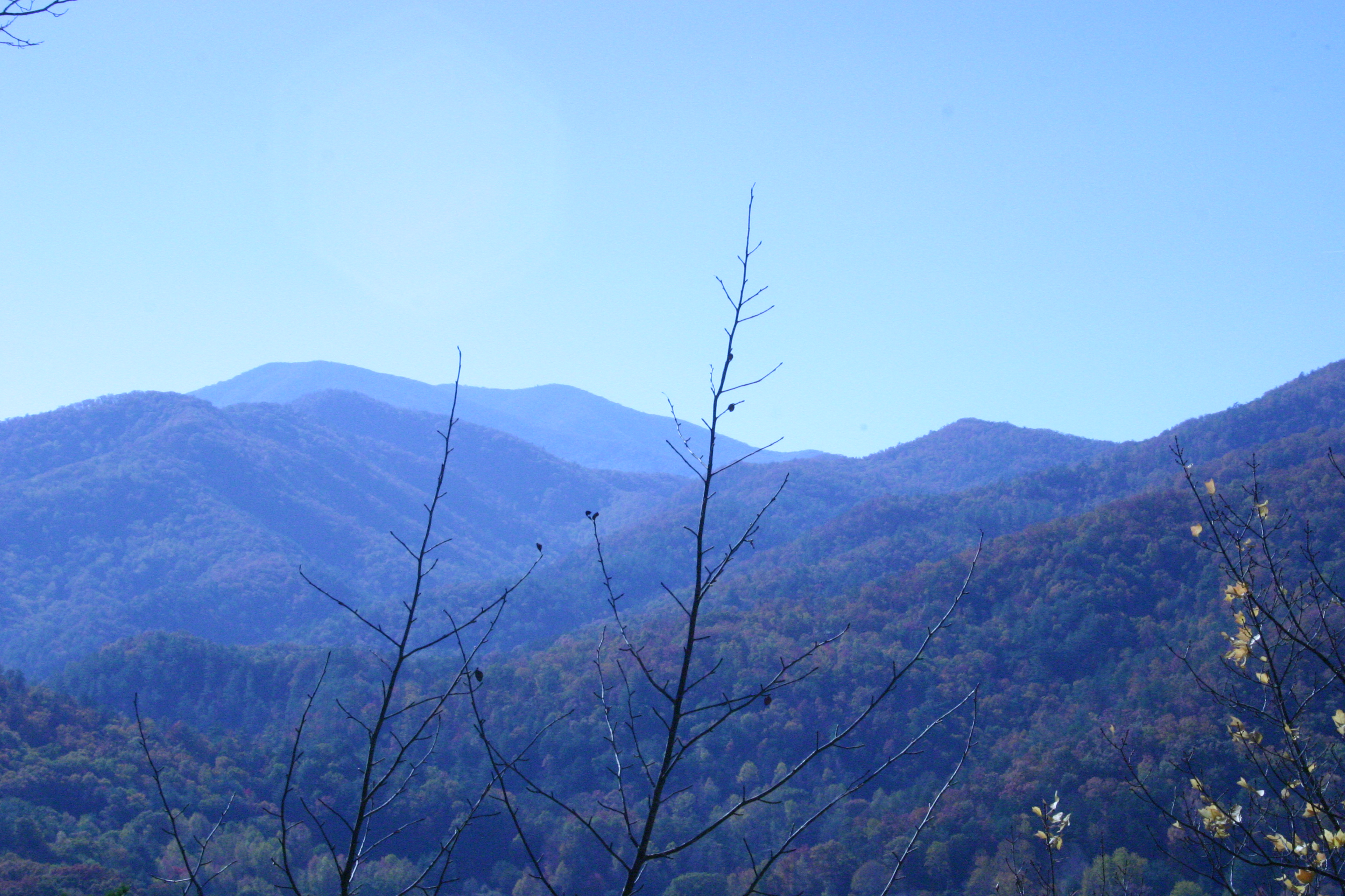
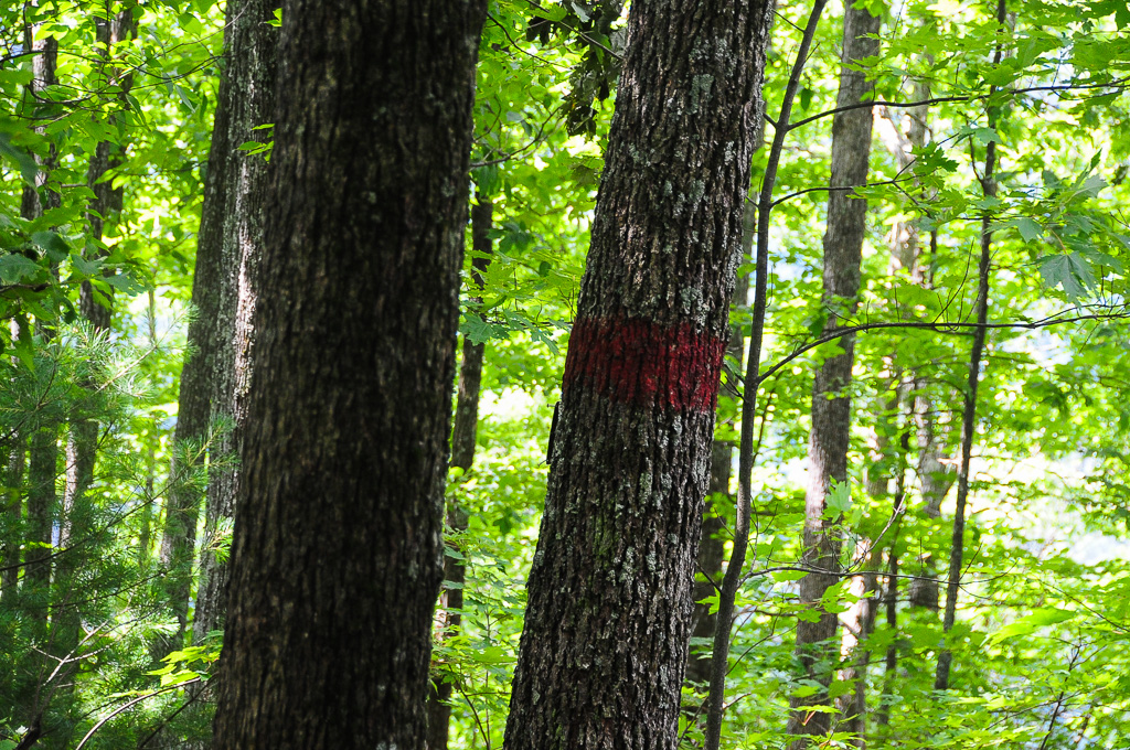
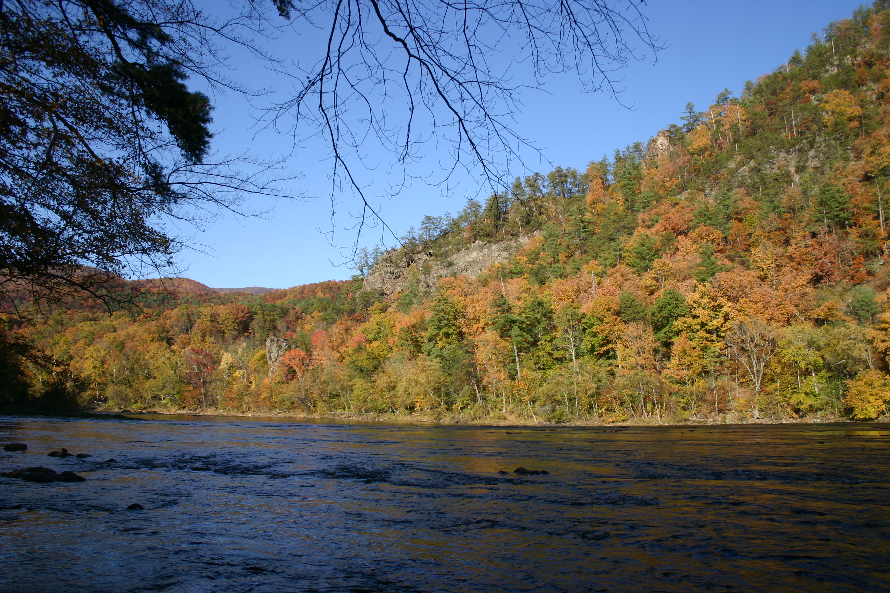
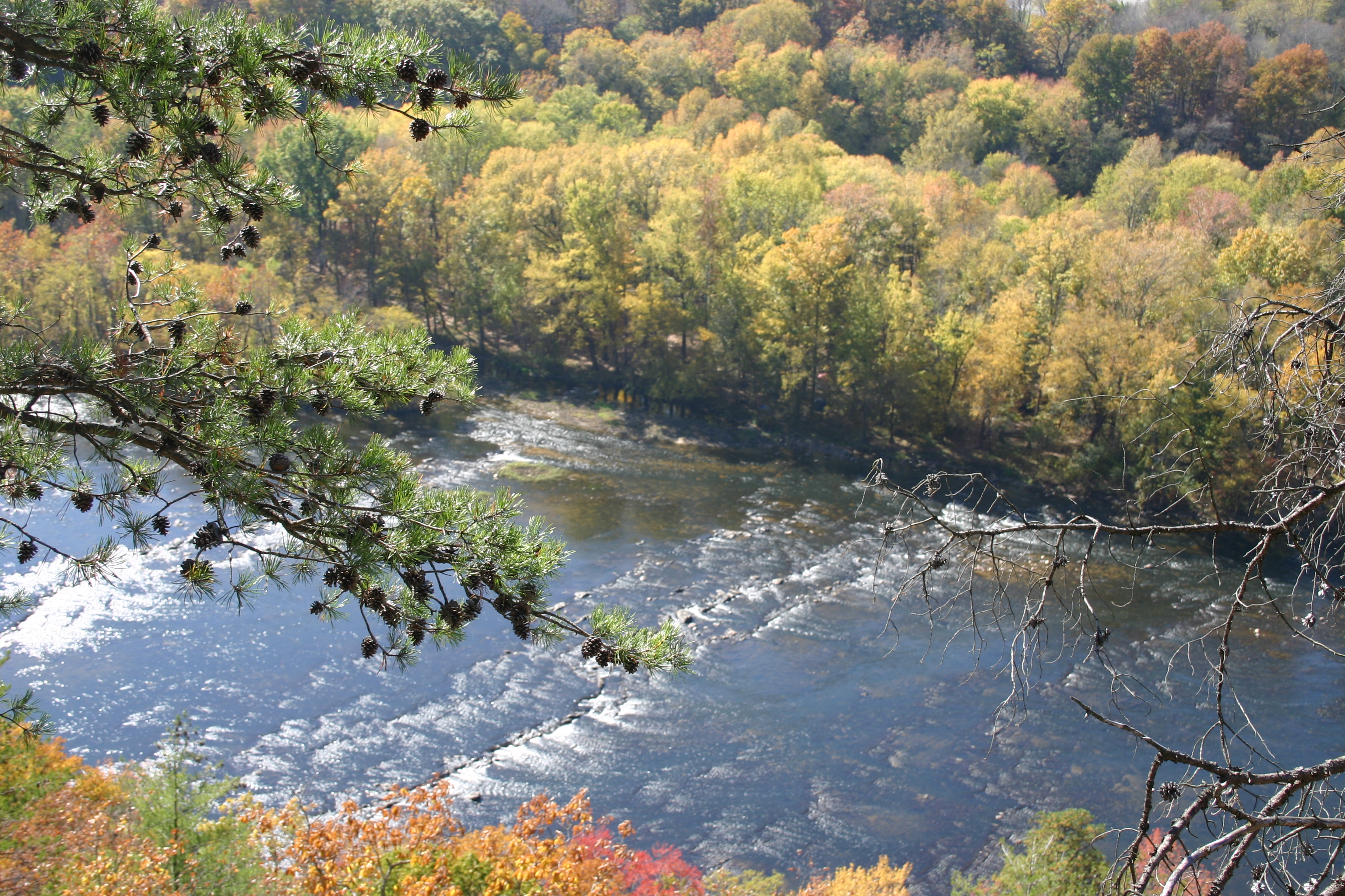
Related Photos:

Max Patch, Romans 1:20

TrackHead Studios - DO NOT TOUCH

Fall on Max Patch

Max Patch, Ecclesiastes 3:11

tracks & mountains

Clouds and Stars during a Lightning Storm
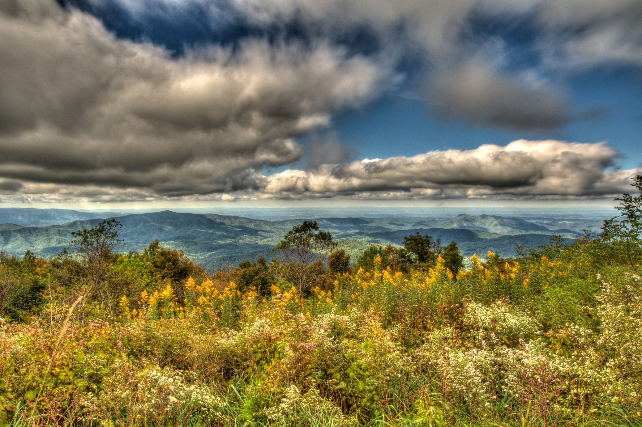
MAX PATCH BALD
NC 209 Scenic View

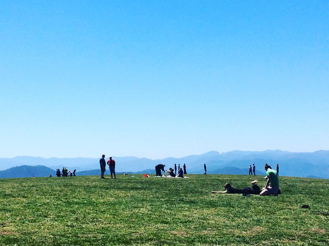
View From Max Patch
View from the back porch.

max patch

View from Max Patch

Rainbows over Max Patch

View from Max Patch, looking east

Max Patch - October 12, 2013-052

View from Max Patch, looking east
View from Snowbird Mtn - W4T/SU-035

This weekend, @thelandmarkproject organized a great group of folks up to Max Patch. We shared stories and smores and great views.
Gorgeous views.
View from Snowbird Mtn - W4T/SU-035

Max Patch, Isaiah 40:22

tone gold

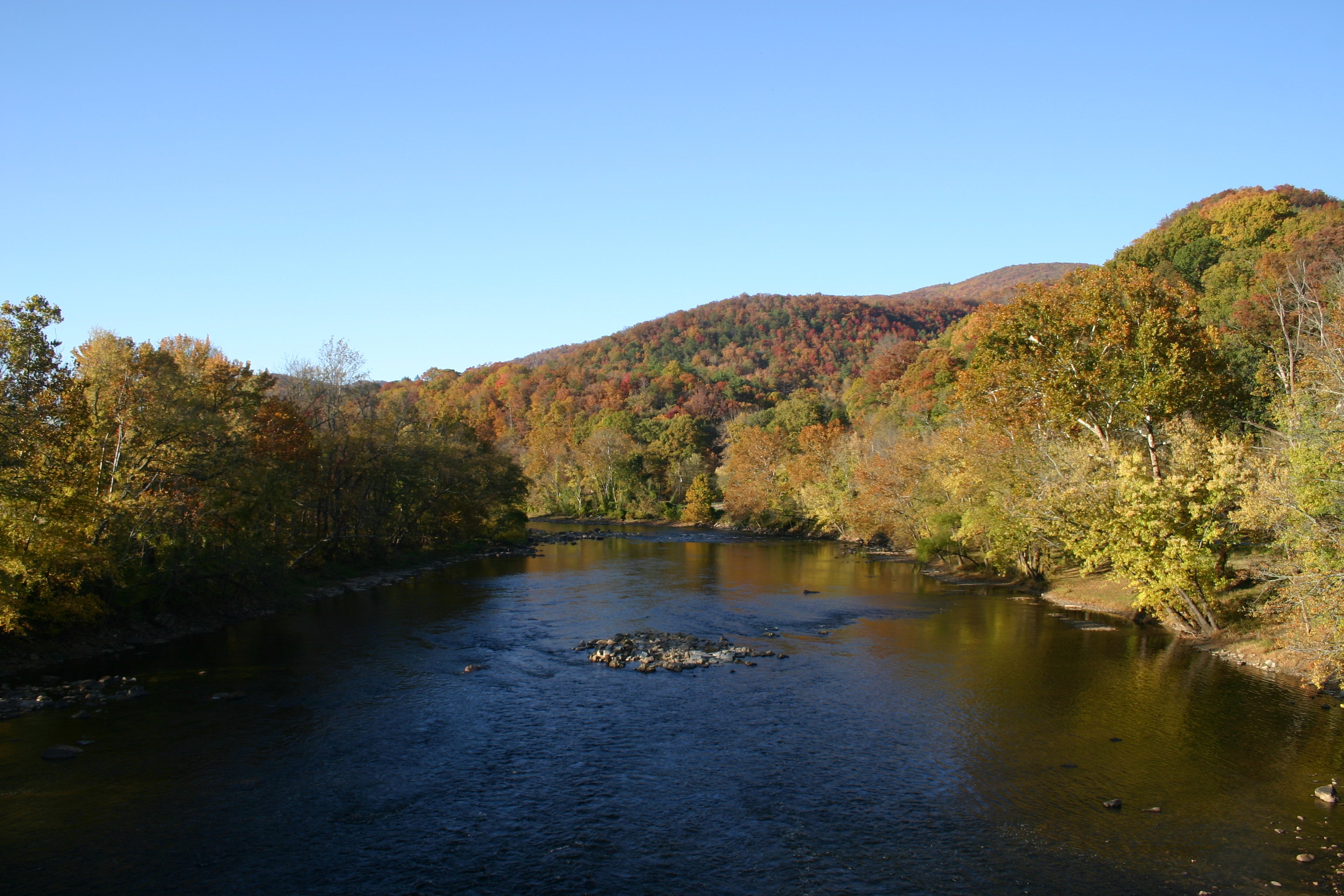
Hot Srings Oct 08 296
Hot Srings Oct 08 242
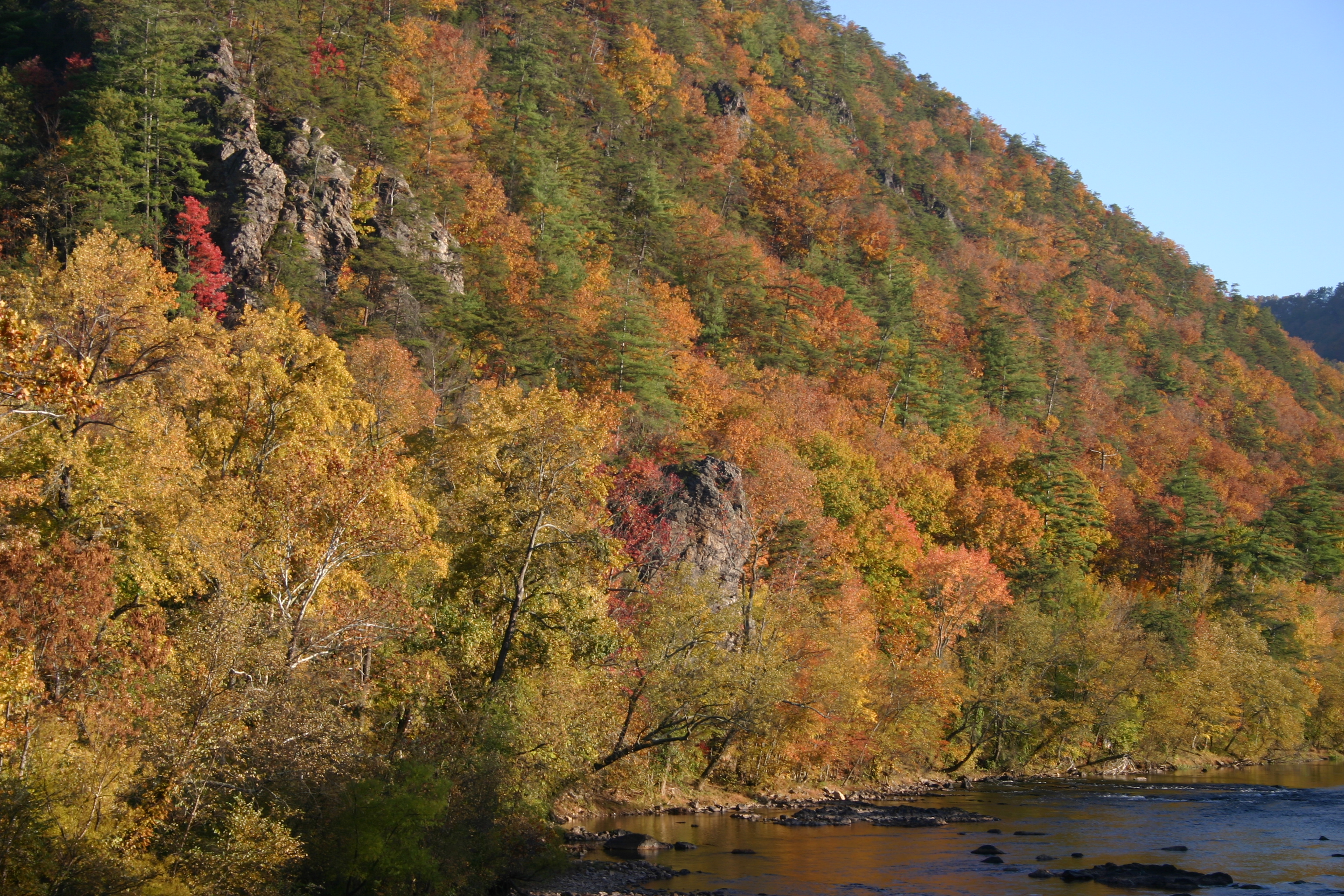
Hot Srings Oct 08 240
Misty Mountains #iphoneography #landscape #mountains #northcarolina #mist
Hot Srings Oct 08 257
Hot Srings Oct 08 236
Hot Springs Oct 08 179
Hot Springs Oct 08 128
On Max Patch Bald on the TN/NC state line.
Hot Springs Oct 08 197
Private Property on Summit of W4T/SU-075 - 3070
Hot Srings Oct 08 232
Hot Springs Oct 08 171
Topographic Map of Meadow Fork Rd, Hot Springs, NC, USA
Find elevation by address:

Places near Meadow Fork Rd, Hot Springs, NC, USA:
Meadow Fork Road
345 Soaring Mountain Rd
46 Meadow Fork School Rd
314 Little Creek Rd
368 Poplar Gap Rd
1370 Caldwell Mountain Rd
1203 Caldwell Mountain Rd
257 Poplar Gap Rd
4756 Meadow Fork Rd
8, Spring Creek
3930 Meadow Fork Rd
149 Caldwell Mountain Rd
601 Indian Camp Creek Rd
1011 Panther Branch Rd
Staghorn Drive
12270 Nc-209
Kirk's Drive
2202 Little Creek Rd
Hot Springs, NC, USA
1863 Poplar Gap Rd
Recent Searches:
- Elevation of Rojo Ct, Atascadero, CA, USA
- Elevation of Flagstaff Drive, Flagstaff Dr, North Carolina, USA
- Elevation of Avery Ln, Lakeland, FL, USA
- Elevation of Woolwine, VA, USA
- Elevation of Lumagwas Diversified Farmers Multi-Purpose Cooperative, Lumagwas, Adtuyon, RV32+MH7, Pangantucan, Bukidnon, Philippines
- Elevation of Homestead Ridge, New Braunfels, TX, USA
- Elevation of Orchard Road, Orchard Rd, Marlborough, NY, USA
- Elevation of 12 Hutchinson Woods Dr, Fletcher, NC, USA
- Elevation of Holloway Ave, San Francisco, CA, USA
- Elevation of Norfolk, NY, USA