Elevation of Meadow Dr, Nashport, OH, USA
Location: United States > Ohio > Muskingum County >
Longitude: -82.175899
Latitude: 40.070489
Elevation: 249m / 817feet
Barometric Pressure: 98KPa
Elevation Map:
Satellite Map:
Related Photos:
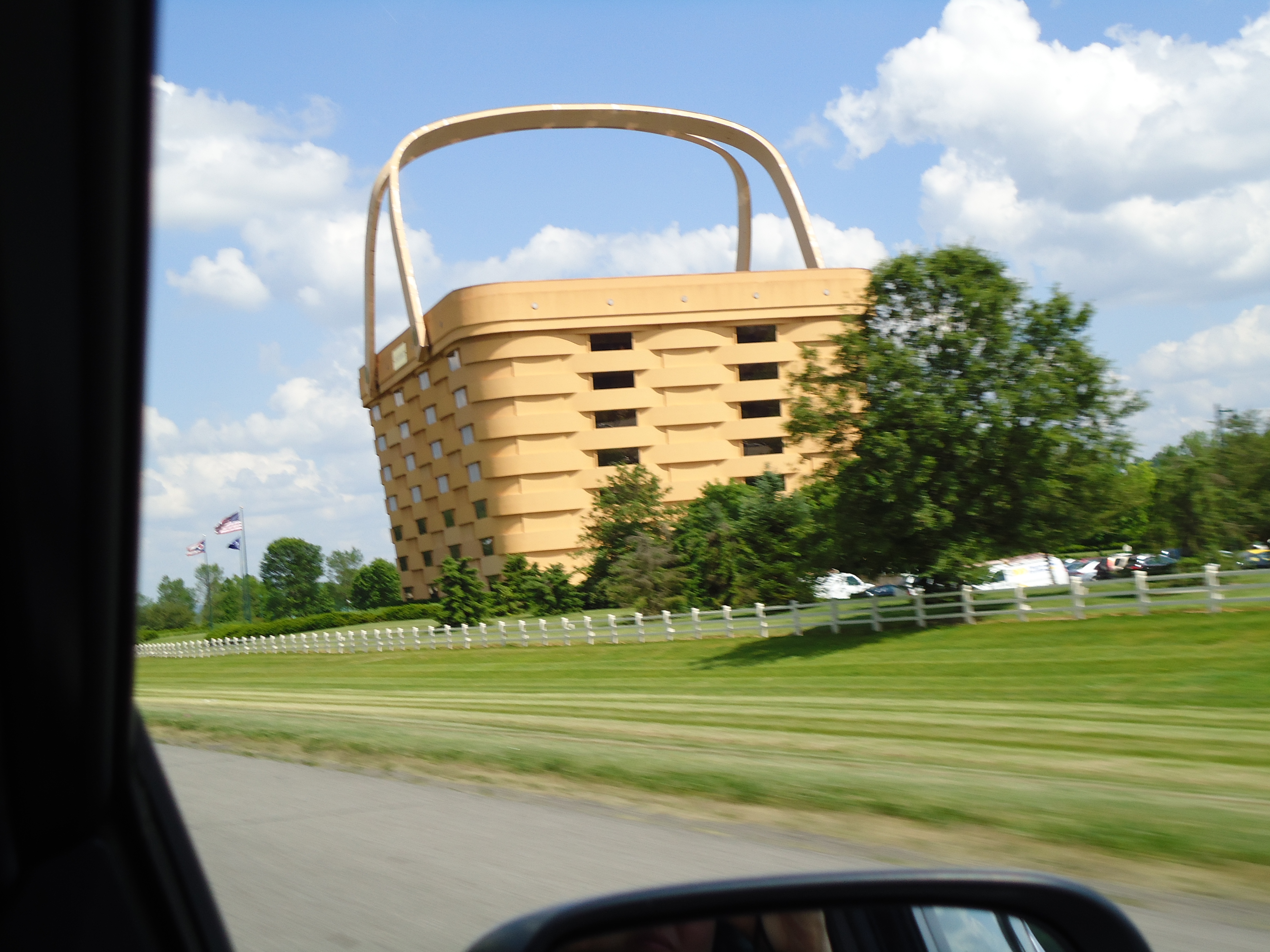
View from The Road
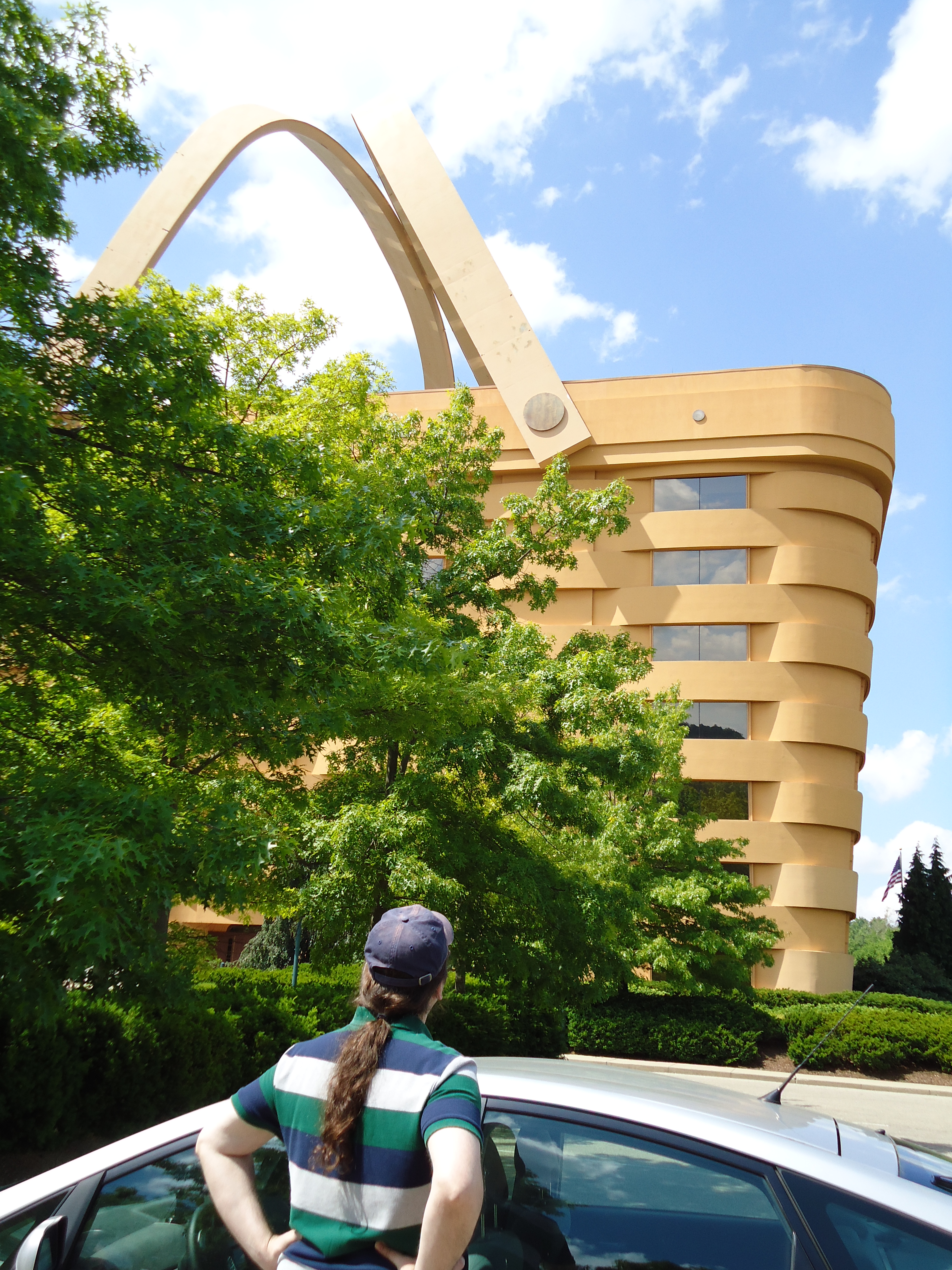
Admiring the View

Side View

Reflections: After the storm, Rainbow in the Rear View #rainbowloom #roadtrips #amazingshotz_ #lgg4 #mobilephotography

The beat of her heart moves an ocean in me.

Firm Foundation
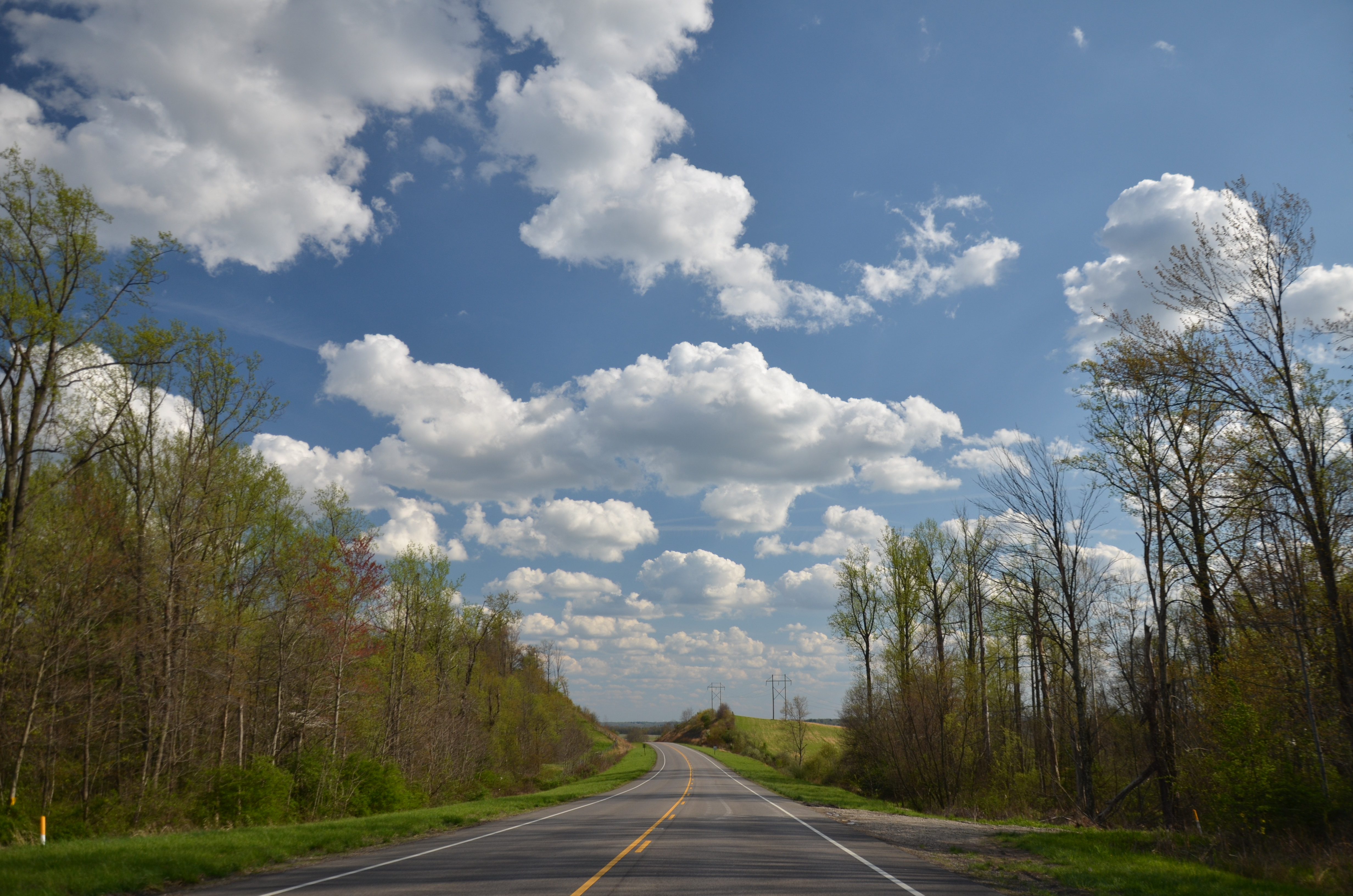
Zanesville OH 106

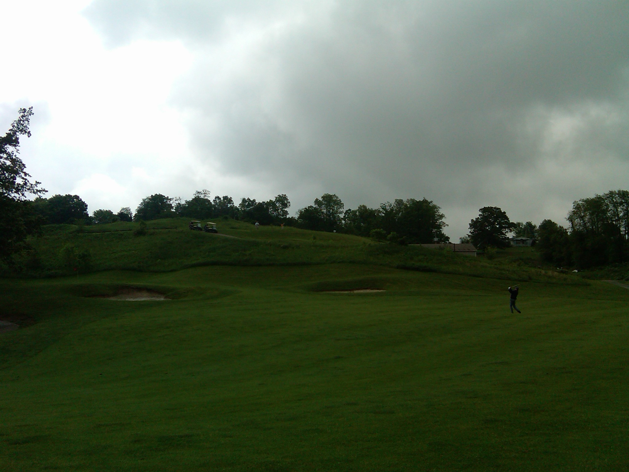
18 tee box
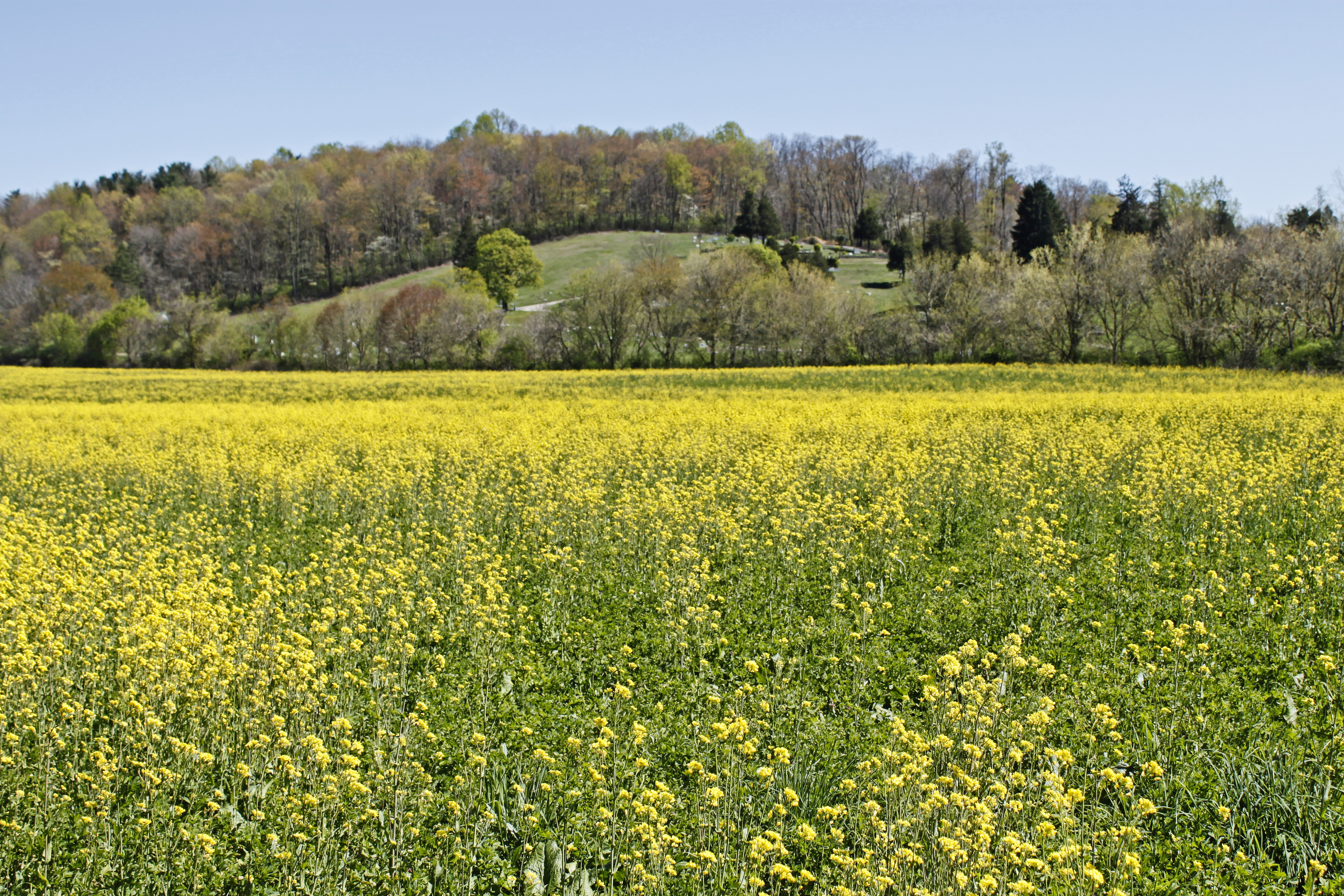
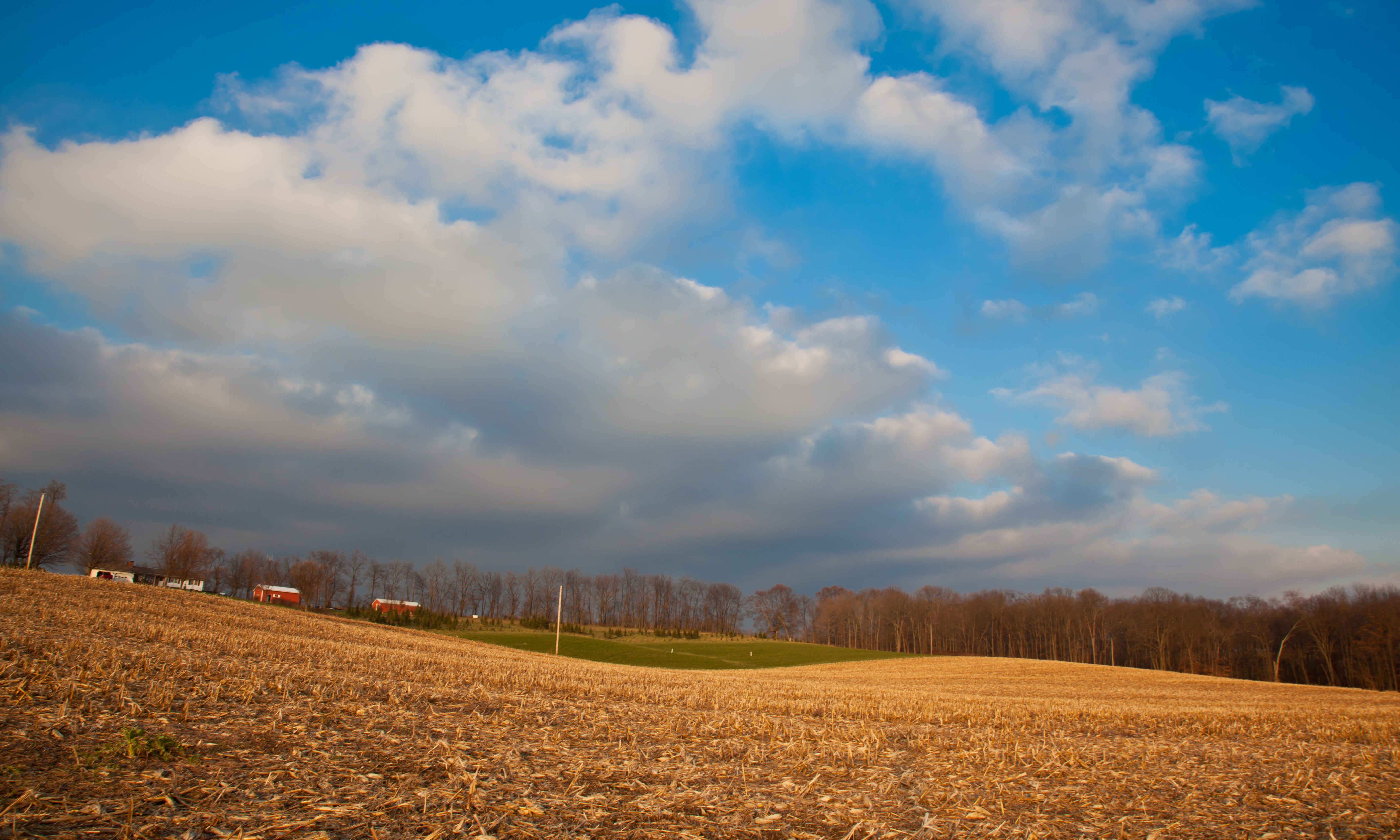
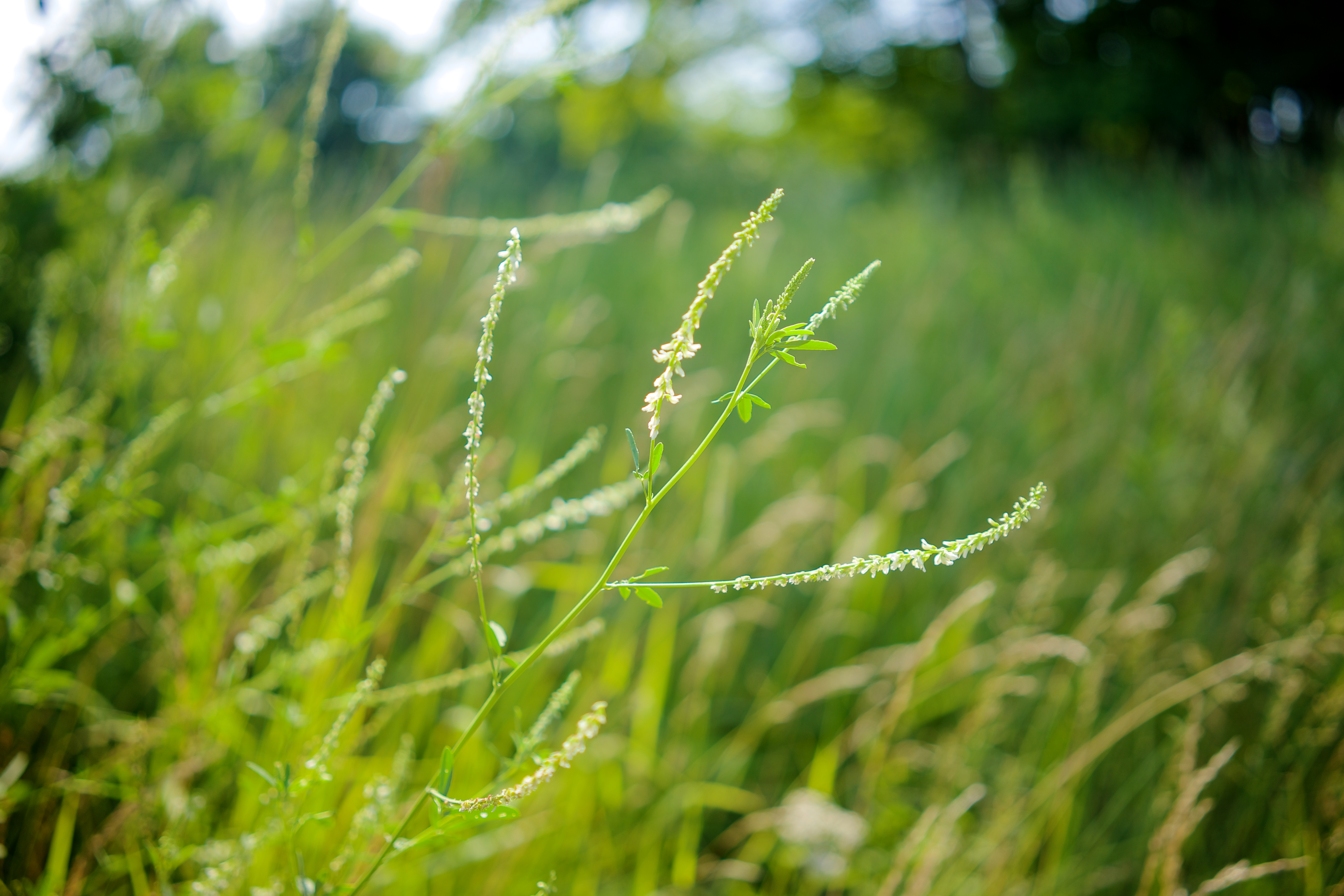
Field of Gold
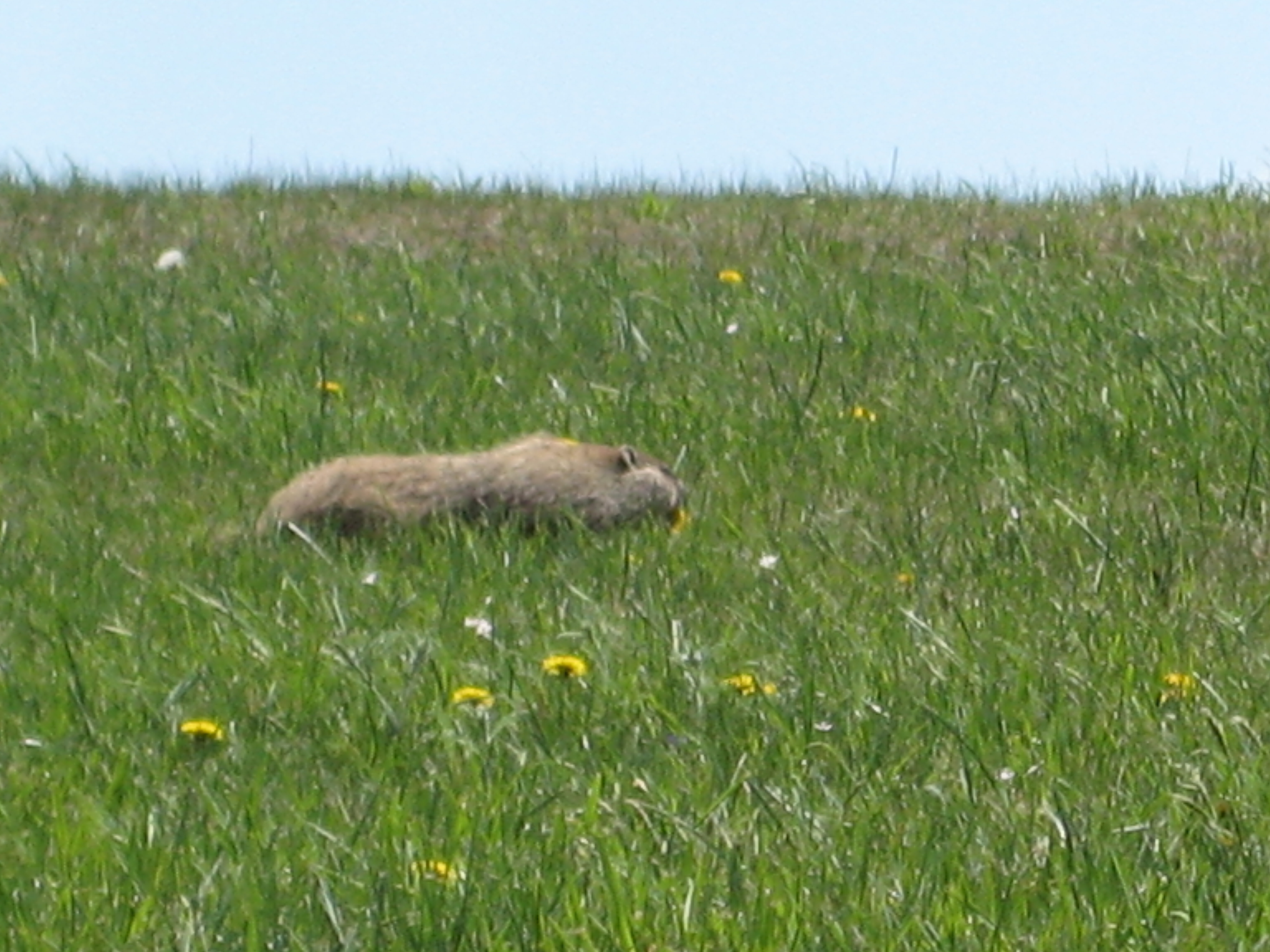
Run ground hog.. run!

Dillon Dam 2 - Muskingum County
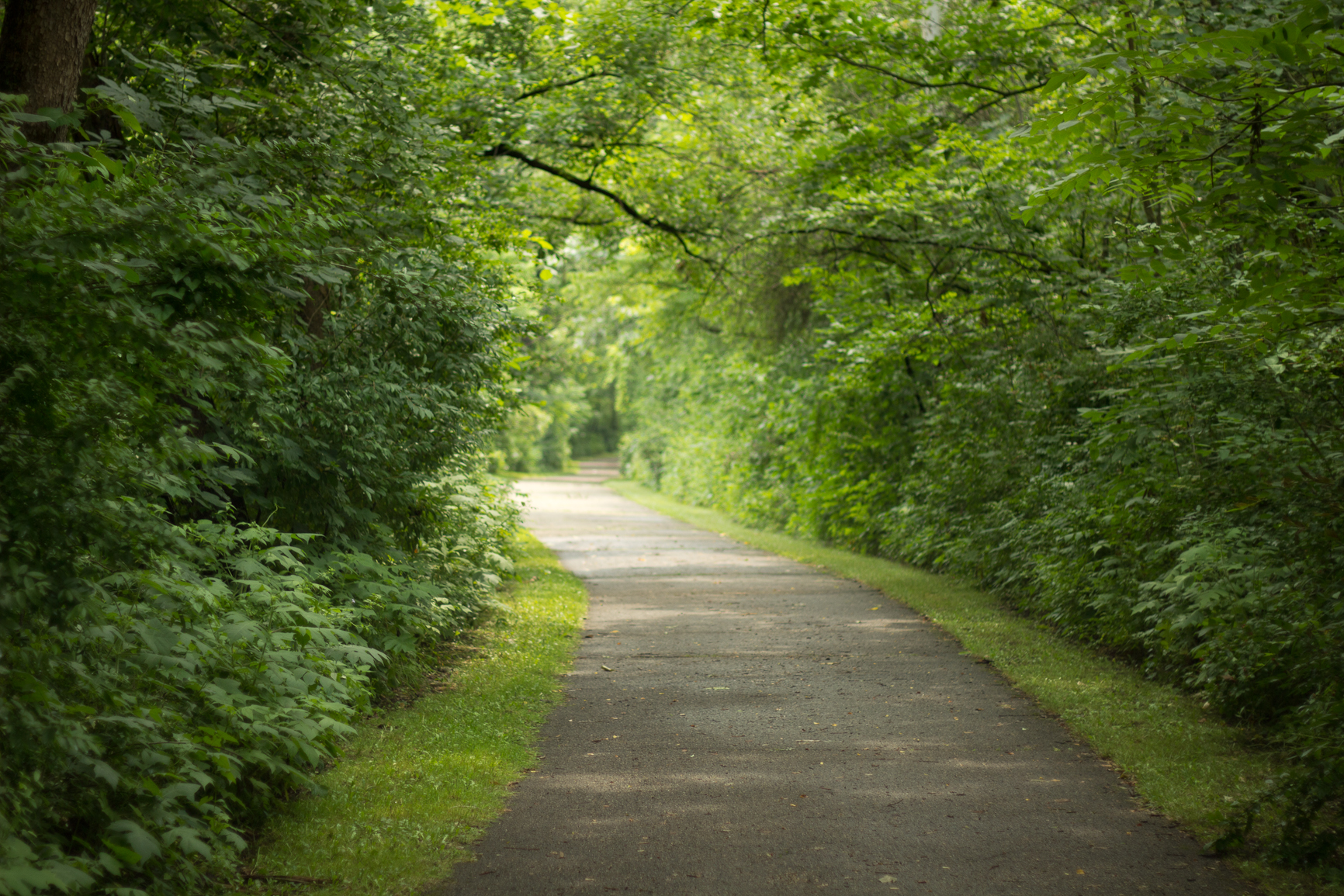
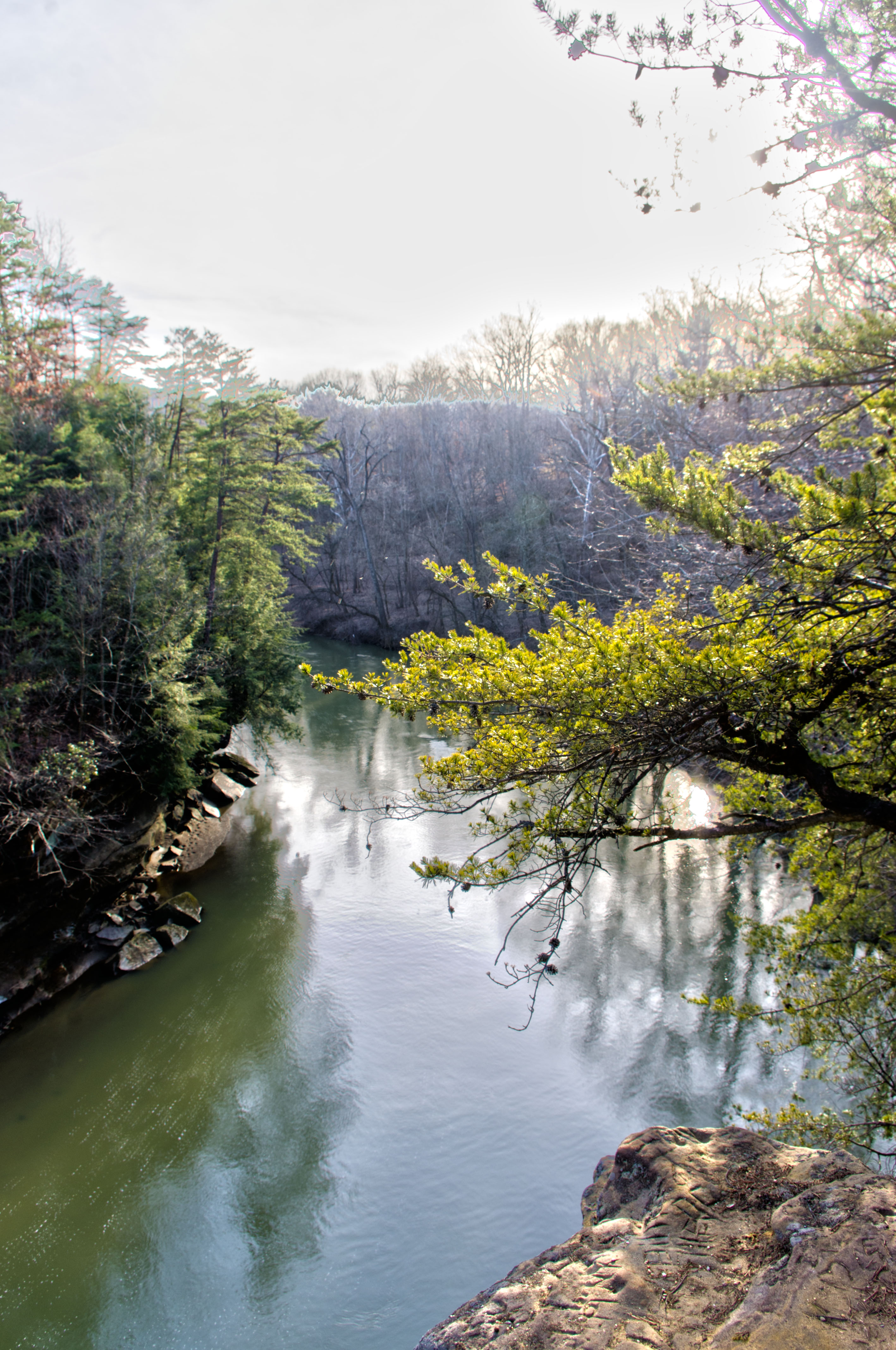
Blackhand Nature Preserve Trail

Flint Ridge
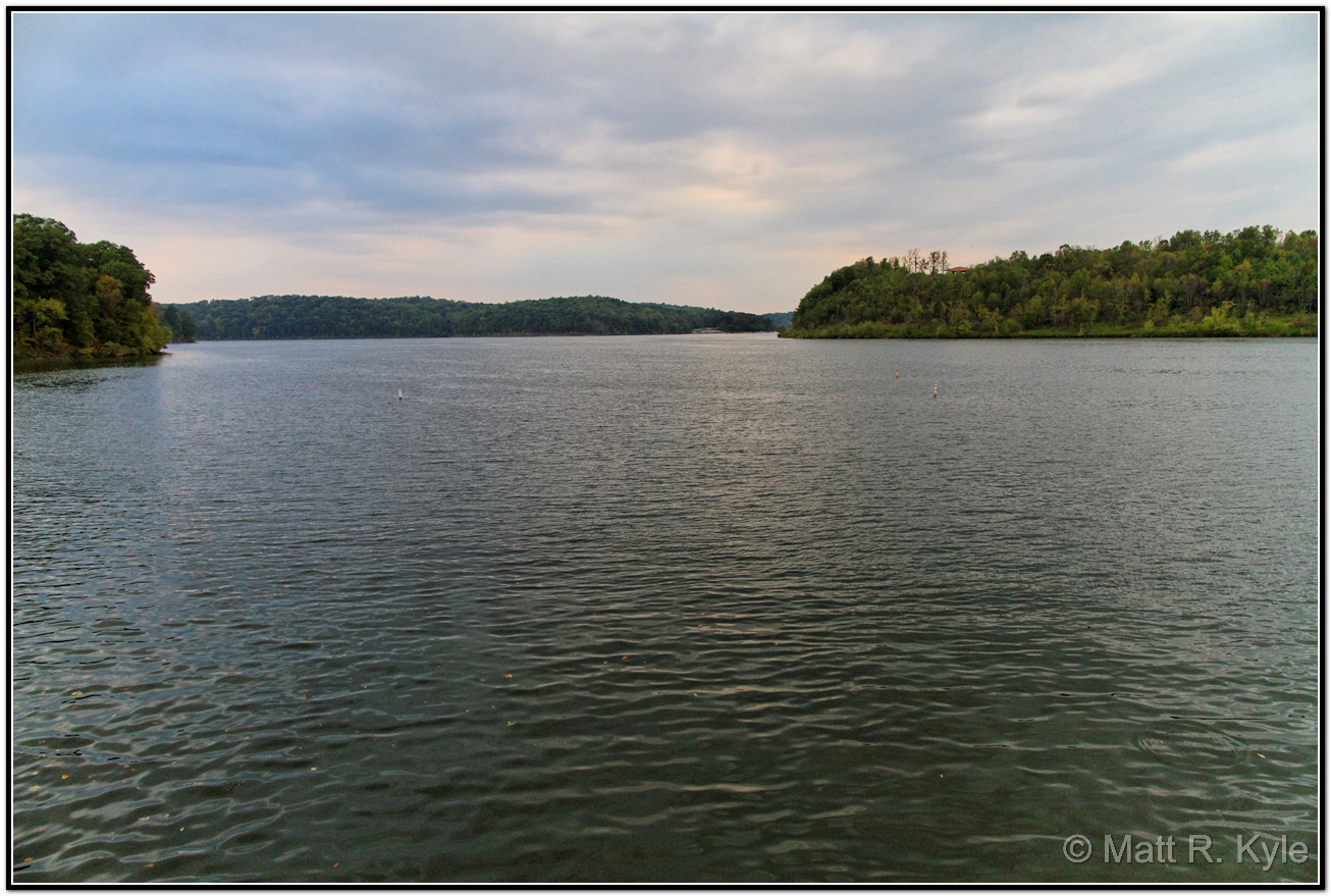
Dillon Lake
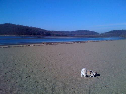
Ali on the beach in Dillon State Park

Flint Ridge

Flint Ridge

Flint Ridge
Frankie's chip into 8

Flint Ridge

Flint Ridge
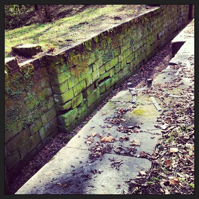
Part of Ohio-Erie Canal
02 Dec. 2011. Rural Ohio, West of Zanesville. Late Day Light Off I-70 at Exit 142.
Above and Below
.
Topographic Map of Meadow Dr, Nashport, OH, USA
Find elevation by address:

Places near Meadow Dr, Nashport, OH, USA:
Toboso
Hanover Township
16858 Texas Rd Se
9775 Hidden Springs Rd
4208 Rock Haven Rd Ne
16295 Flint Ridge Rd
5603 Mulberry Rd
Hopewell Township
16295 Flint Ridge Rd
Muskingum County Speedway Inc
7751 Mulberry Rd
Hopewell
Gratiot
Main St, Zanesville, OH, USA
Hopewell Township
6125 Southview Dr
Coopermill Rd, Mt Perry, OH, USA
Brownsville
Muskingum Township
Coopermill Rd, Zanesville, OH, USA
Recent Searches:
- Elevation of Groblershoop, South Africa
- Elevation of Power Generation Enterprises | Industrial Diesel Generators, Oak Ave, Canyon Country, CA, USA
- Elevation of Chesaw Rd, Oroville, WA, USA
- Elevation of N, Mt Pleasant, UT, USA
- Elevation of 6 Rue Jules Ferry, Beausoleil, France
- Elevation of Sattva Horizon, 4JC6+G9P, Vinayak Nagar, Kattigenahalli, Bengaluru, Karnataka, India
- Elevation of Great Brook Sports, Gold Star Hwy, Groton, CT, USA
- Elevation of 10 Mountain Laurels Dr, Nashua, NH, USA
- Elevation of 16 Gilboa Ln, Nashua, NH, USA
- Elevation of Laurel Rd, Townsend, TN, USA