Elevation of ME-, St Francis, ME, USA
Location: United States > Maine > Aroostook County > Saint Francis >
Longitude: -68.889672
Latitude: 47.170902
Elevation: 186m / 610feet
Barometric Pressure: 99KPa
Elevation Map:
Satellite Map:
Related Photos:

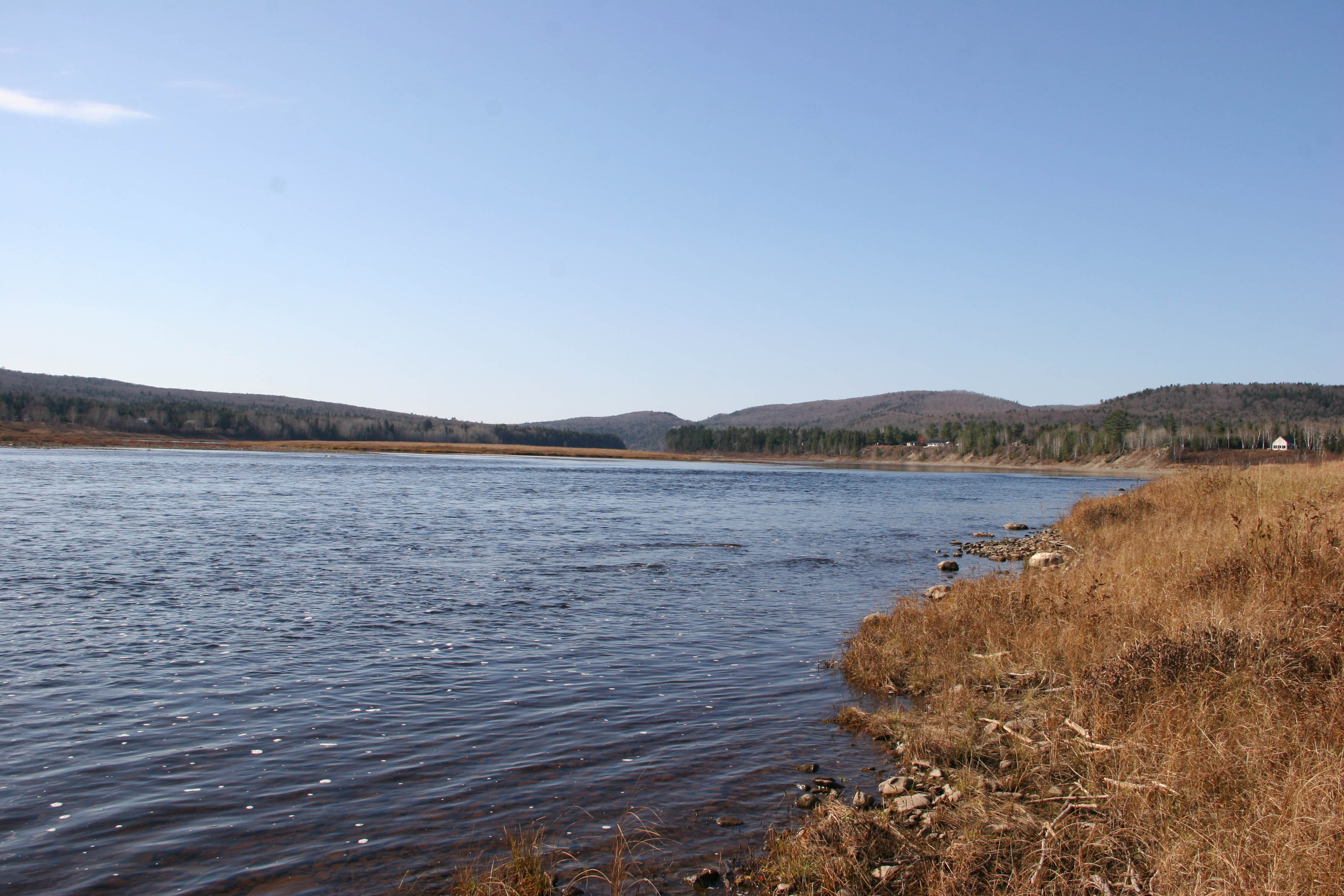
Saint John 1

Reserved Seating

Saint John Sunset

Saint John Reflections

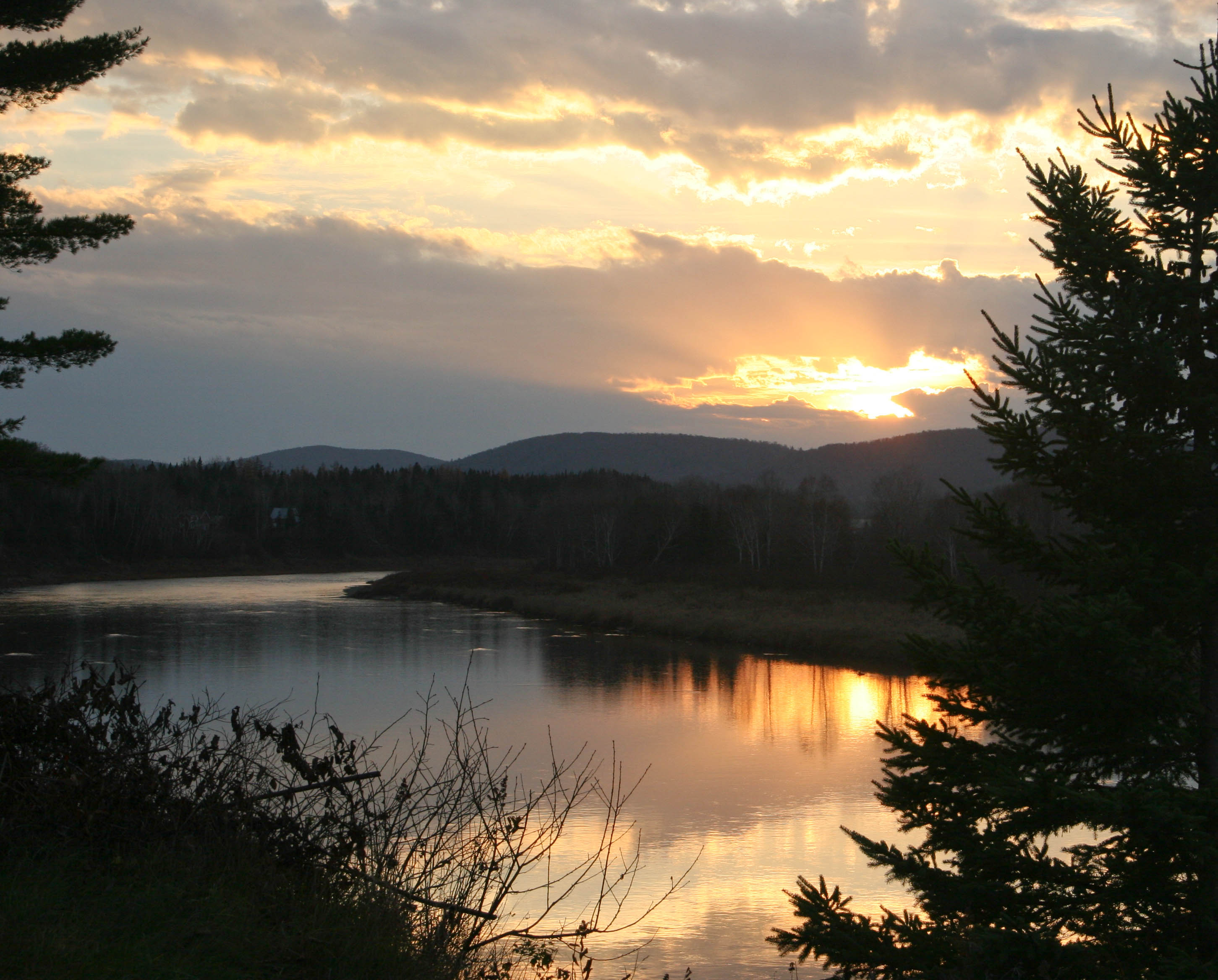
Saint John Sunrise

Saint John Cloud Line

Saint John Puffy Cloud

Saint John Birches
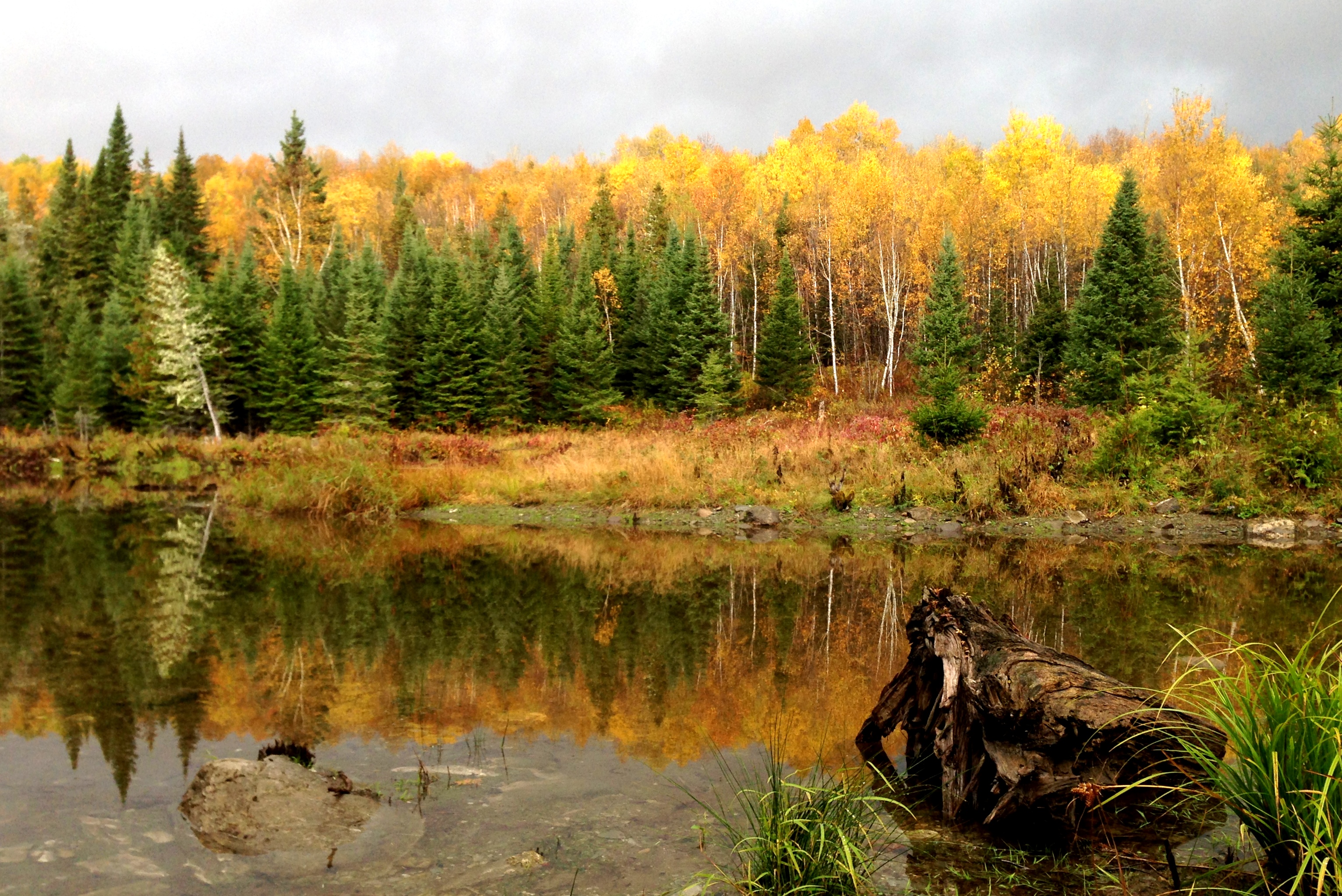
Northern Maine colors
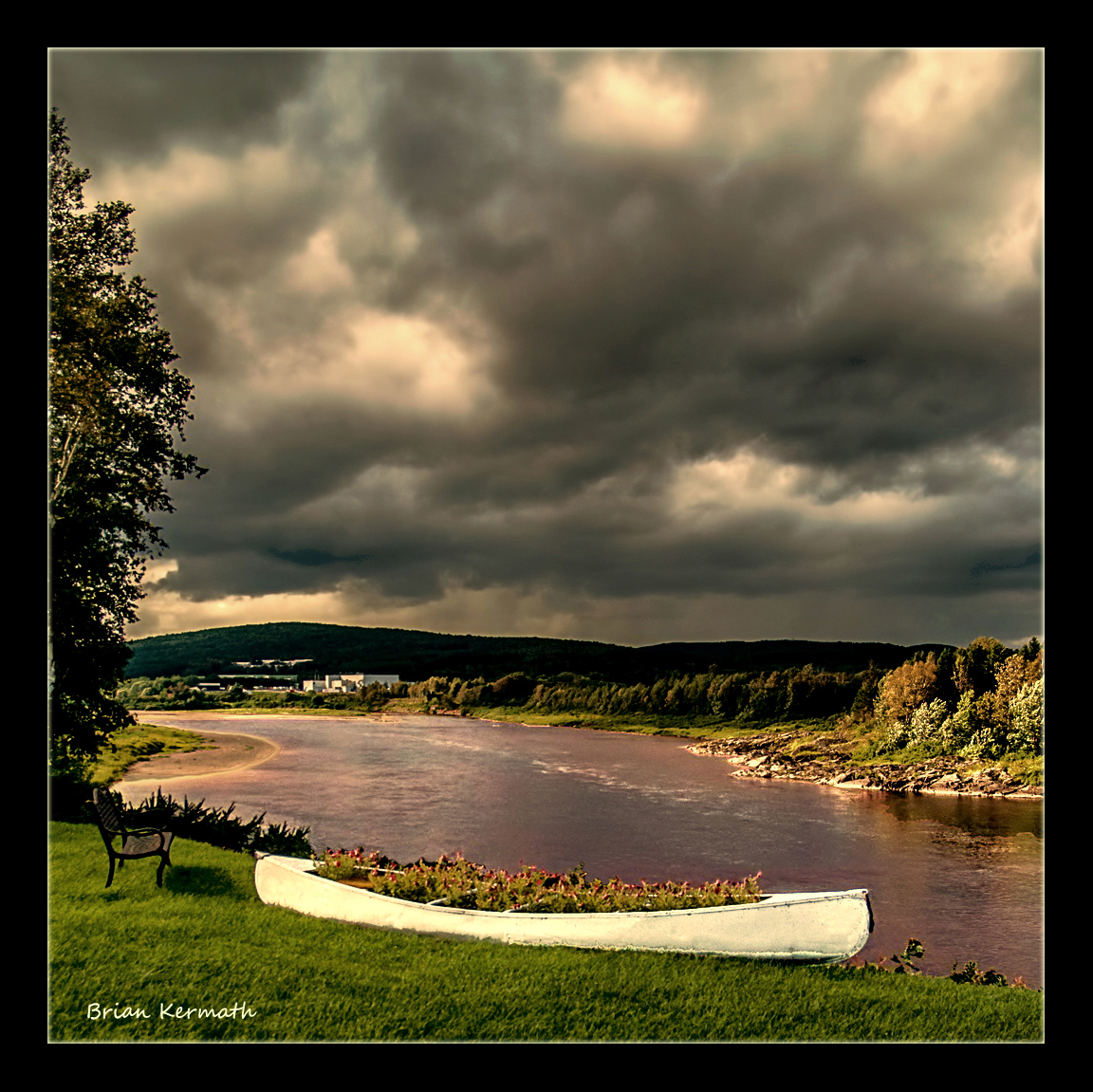
Stormy skies
St. John's River at sunset (near Allagash, Maine)
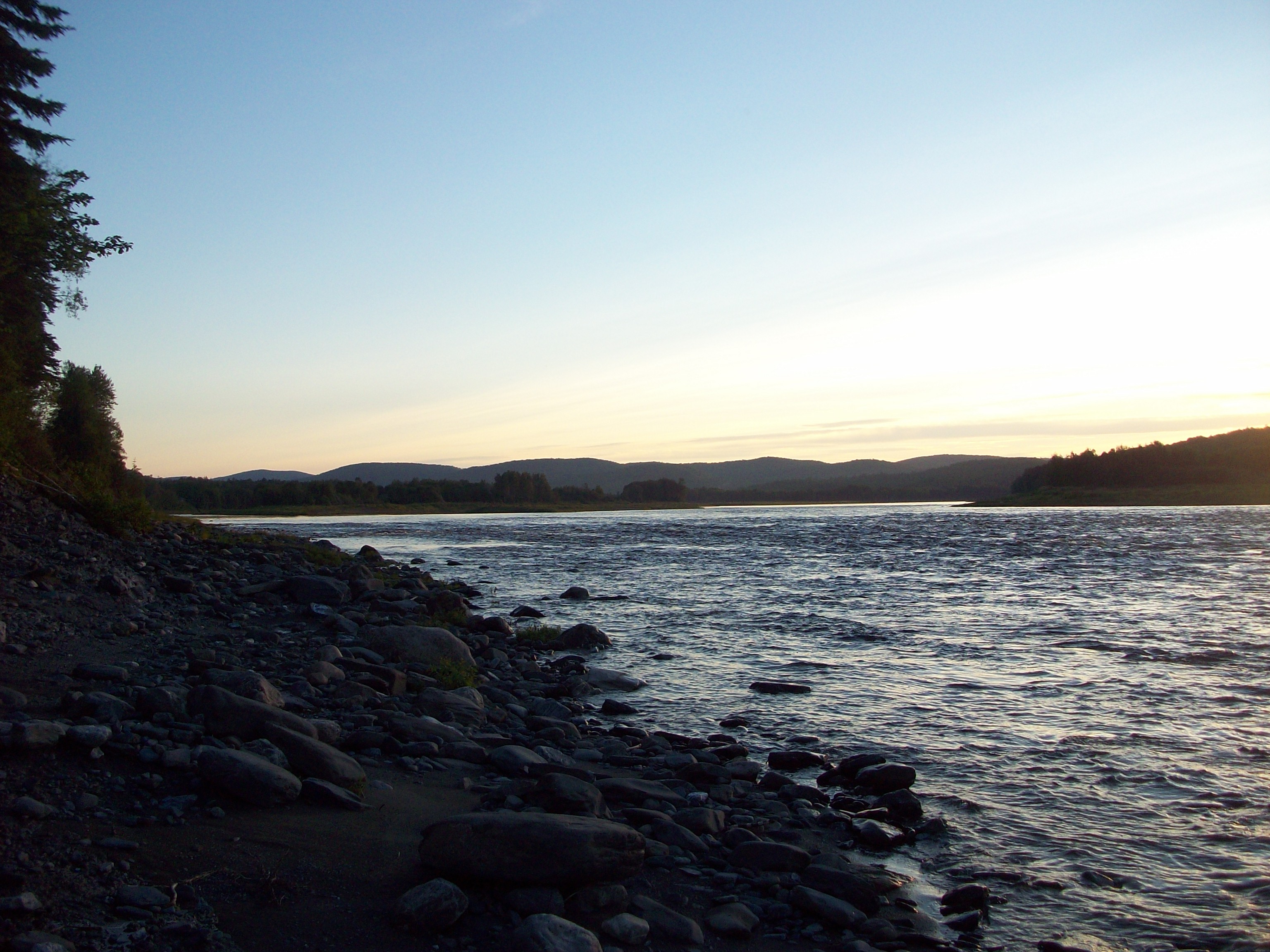
sunset St John River
St John river
Topographic Map of ME-, St Francis, ME, USA
Find elevation by address:

Places near ME-, St Francis, ME, USA:
Saint Francis
ME-, St. John Plantation, ME, USA
Saint John Plantation
NB-, Saint-François de Madawaska, NB E7A 1R6, Canada
Rang 2 Rd, Saint-François de Madawaska, NB E7A 1P4, Canada
Saint-françois De Madawaska
Rue Commerciale, Saint-François-de-Madawaska, NB E7A 1A9, Canada
28 Rue De L'Église
Saint-marc-du-lac-long
QC-, Saint-Marc-du-Lac-Long, QC G0L 1T0, Canada
St John Rd, Fort Kent, ME, USA
Saint-marc-du-lac-long
Devoe Brook Road
6e Rang, Packington, QC G0L 1Z0, Canada
Route du Lac Jerry, Packington, QC G0L 1Z0, Canada
Rue Centrale, Lac-Baker, NB E7A 1H7, Canada
Clair
Lac Baker
185 Us-1
32 Lakeside Ln, Eagle Lake, ME, USA
Recent Searches:
- Elevation of Hercules Dr, Colorado Springs, CO, USA
- Elevation of Szlak pieszy czarny, Poland
- Elevation of Griffing Blvd, Biscayne Park, FL, USA
- Elevation of Kreuzburger Weg 13, Düsseldorf, Germany
- Elevation of Gateway Blvd SE, Canton, OH, USA
- Elevation of East W.T. Harris Boulevard, E W.T. Harris Blvd, Charlotte, NC, USA
- Elevation of West Sugar Creek, Charlotte, NC, USA
- Elevation of Wayland, NY, USA
- Elevation of Steadfast Ct, Daphne, AL, USA
- Elevation of Lagasgasan, X+CQH, Tiaong, Quezon, Philippines