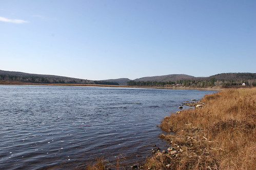
Elevation of ME-, Allagash, ME, USA
Location: United States > Maine > Aroostook County > Allagash >
Longitude: -69.041477
Latitude: 47.0830196
Elevation: 193m / 633feet
Barometric Pressure: 99KPa
Related Photos:
Topographic Map of ME-, Allagash, ME, USA
Find elevation by address:

Places near ME-, Allagash, ME, USA:
Allagash
Inn Rd, Allagash, ME, USA
St Francis, ME, USA
Dickey Rd, Allagash, ME, USA
20 Frank Mack Rd
1851 Main St
Saint-françois
Route Principale, Saint-Eusèbe, QC G0L 2Y0, Canada
Saint-eusèbe
Saint-eusèbe
Saint-elzéar-de-témiscouata
Saint-athanase
Témiscouata Regional County Municipality
103 Rue Dubé
Saint-louis-du-ha! Ha!
Saint-honoré-de-témiscouata
Saint-honoré-de-témiscouata
60 Rue De La Gare, Saint-Honoré-de-Témiscouata, QC G0L 3K0, Canada
40 Rue des Érables, Saint-Omer, QC G0R 4R0, Canada
Saint-omer
Recent Searches:
- Elevation of Corso Fratelli Cairoli, 35, Macerata MC, Italy
- Elevation of Tallevast Rd, Sarasota, FL, USA
- Elevation of 4th St E, Sonoma, CA, USA
- Elevation of Black Hollow Rd, Pennsdale, PA, USA
- Elevation of Oakland Ave, Williamsport, PA, USA
- Elevation of Pedrógão Grande, Portugal
- Elevation of Klee Dr, Martinsburg, WV, USA
- Elevation of Via Roma, Pieranica CR, Italy
- Elevation of Tavkvetili Mountain, Georgia
- Elevation of Hartfords Bluff Cir, Mt Pleasant, SC, USA


