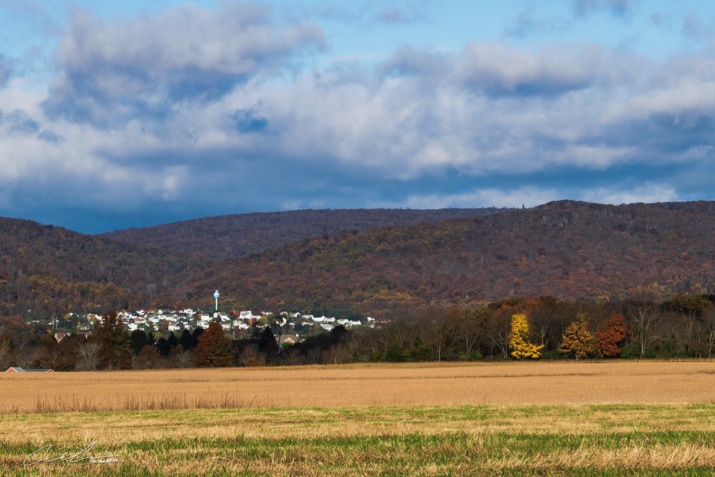
Elevation of MD-, Keymar, MD, USA

Location: United States > Maryland > Carroll County > 10, Middleburg > Keymar >

Longitude: -77.241522

Latitude: 39.5919414

Elevation: 106m / 348feet

Barometric Pressure: 100KPa

Elevation Map:

elevation map of MD-, Keymar, MD, USA

Satellite Map:

Satellite map of MD-, Keymar, MD, USA

Related Photos:

america usa us unitedstates northamerica maryland landscape paysage paisaje paesaggio landschaft pasture nature natural horizon pokeweed berry berries foliage leaves branches mist fog sky light sunrise sunlight sunshine flare burst shadow farm fence grass nikon z7 mirrorless nikkor captureone
No Time for Breakfast
america usa us unitedstates northamerica autumn fall history historical covered bridge landscape paysage paisaje paesaggio landschaft tree forest foliage leaves branches architecture building light sunlight sunshine shadow nikon z7 mirrorless nikkor ndfilter leefilter captureone explore elitegalleryaoi bestcapturesaoi aoi
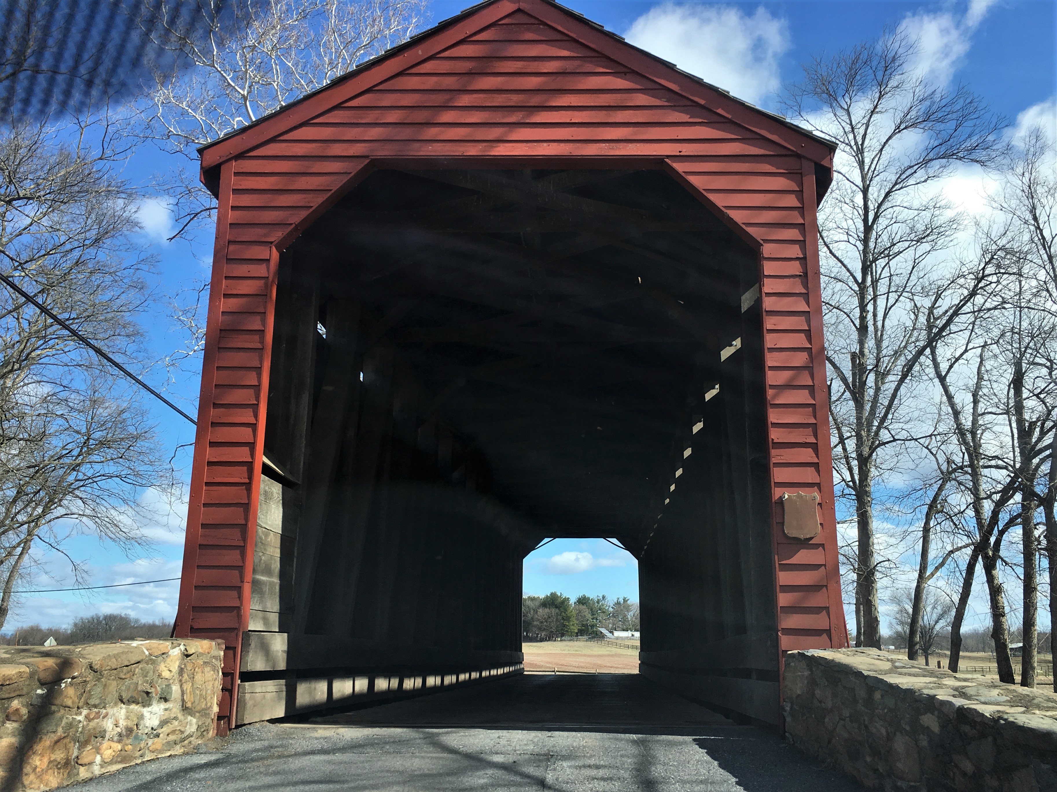
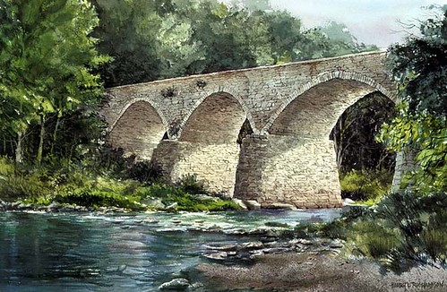
Autumn at Roddy Road Covered Bridge
thurmont maryland store front old newport bread nicetoseeyouagain refreshes while refresheswhileyousmoke cigaretts composite art abstract happyslidersunday hss thinksthatmakenosense
Old Things - Things That Make No Sense
thurmont maryland frederickco bridges roddyrdcoveredbridge nrhp historicbridge viewbeyond houses trees branches shadows topf25
Thurmont MD ~ Roddy Rd covered bridge
thurmont maryland frederickco bridges uticamillscoveredbridge historicbridge nrhp restored iphone cmwd
Thurmont MD ~ Utica Mills Covered Bridge
thurmont maryland frederickco streams owenscreek trees iphone
Thurmont MD ~ Owens Creek
thurmont maryland frederickco parks loysstationcoveredbridge nrhp historicbridge viewbeyond cmwd
Thurmont MD ~ Loys Station Covered Bridge
interiorview nikond7200 frederickcounty maryland backroadphotography bridge coveredbridges countryroads historic nationalregisterofhistoricplaces uticacoveredbridge
A Peek Inside
nature birds wildlife 09 d300 platinumheartaward bluesbandit1750
Wood Duck (Male)
2020-11-24 1151 MMID 3451 on UBHF, Thurmont, MD
mmid
2019-09-19 1310 MMID 3451 on UBHF Detour, MD
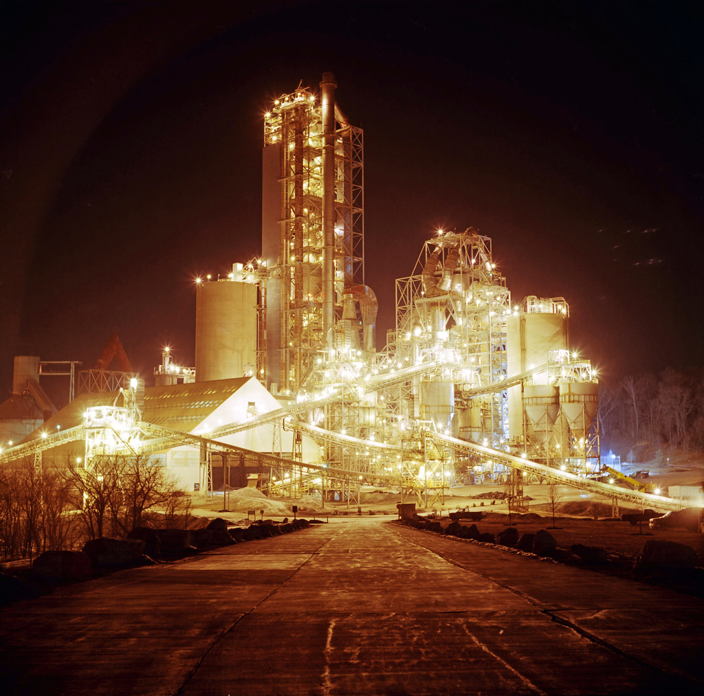
county camera bridge winter plant cold tlr film night analog rural dark lens cord photography lights evening reflex md model focus long exposure dynamic kodak c release union cement january twin maryland cable baltimore expose crisp midnight shutter western series late medium format carroll 100 manual range yashica density lehigh ektar 2011 exposing
Cement Plant
Living Large at the National Fire Academy
county westminster md carroll snowscene
A view of Uniountown Rd. Carroll Co., MD.
1981 01-12 12:10PM MMID 65T Whitcomb-102 Keymar, MD
carroll county maryland carrollcounty
Horned Lark habitat
1981 01-12 12:05PM MMID 65T Whitcomb-102 Keymar, MD
trees sun beautiful sunrise landscape countryside scenery farm country scenic maryland newwindsor marylandpennsylvania newwindsormaryland
New Windsor Sunrise
feb2021 maryland frederickcounty frederick historic architecture coveredbridge scenery winter snow thurmont roddyroad
Brick house with veranda, view to Roddy Road covered bridge, winter near Thurmont, Maryland
photoshop video chainsaw videos photosharing myopinion firefighter247 novideoonflickr flickrdivided
No video
outside md maryland grotto mtstmarys
Above Mt St Marys
sunset farm whilecycling explored
End of the Day
autumn maryland
Study There
5dmk3 5d3 5dmkiii 5dmarkiii 5dmark3 canon eos 1635l 1635mm f4 f4l is usm autumn fall ultrawideangle wideangle nature trees tree outdoors explore exploration exploring hiking waterfall waterfalls catoctinmountainpark catoctin catoctinmountain cunninghamfalls cunninghamfallsstatepark thurmont maryland longexposure falls landscape orange red water
Frank Bentz Memorial Lake Falls [11.09.17]
CORP GP38-3-2064, 2065, 2066 W/B UBST at Keymar, MD
frederickmd farm whilecycling
Along Legore Bridge Road
farm frederickmd whilecycling
IMG_2398.jpg
haze trees 450mm thurmont landscape distance chimneyrock fall sunrise sky watertower color maryland catoctinmountainpark clouds unitedstates us
Nestled Community
outdoors outside nature outandabout roadtrip statepark cunninghamfalls maryland landscape green trees autumn fall colors marylandstateparksopt outsidehikingsight seeing photography sony alpha a7rii ilce7rm2 sel28f20 sky clouds blue evening road field farm fence street asphalt sonyshooter john brighenti johnbrighenti
Road Near Loys Station Covered Bridge
1855 fujifilmxe1
gettysburg-02
maryland autumn stream creek
Roddy Creek in Autumn
ted me bike bicycle cycling countryside md bikes maryland hills bicycles biking fields roadside mrt surly frederick bikerides iphone frederickcounty surlycrosscheck mrtindc tourdefrederick tourdefrederickmetriccentury
Tour de Frederick Ted
maryland coveredbridges harryrichardson harryrichardsonlandscapes wintercrossing roddyroadcoveredbridge
Winter Crossing - Roddy Road Bridge
trees sun beautiful sunrise landscape countryside scenery day farm country scenic maryland clear newwindsor marylandpennsylvania newwindsormaryland
New Windsor Sunrise
thurmont color church chimneyrock fall clouds haze trees 450mm watertower distance sky flag landscape maryland catoctinmountainpark sunrise woodsboro unitedstates us
Catoctin Mountain Park
landscapes harryrichardsonart harryrichardson harryrichardsonpaintings harryrichardsonlandscapes legoresbridge legorebridge
LeGore Bridge
farm
Farm at Sunset
cemetery grave catholic maryland nuns civilwar motherhouse emmitsburg sistersofcharity daughtersofcharity swcw
Possible Civil War Nurses