Elevation of McLure, BC V0E 1Z2, Canada
Location: Canada > British Columbia > Thompson-nicola > Thompson-nicola P >
Longitude: -120.23333
Latitude: 51.05
Elevation: 363m / 1191feet
Barometric Pressure: 97KPa
Elevation Map:
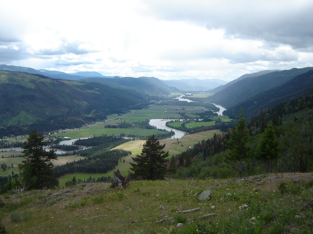
Satellite Map:
Related Photos:

For Your Own Protection

CN 8901 ~ Louis Creek

CN 8956 ~ Louis Creek

燃燒殆盡

Past, Present & Future

North Thomposn River

Van Lac Le Jeune naar Jasper – 28 juli 2015

North Thompson River

McLure Fire

Exlou, North Thomson River, Yellowhead highway BC

Vinsulla, Yellowhead highway BC

Exlou, North Thomson River, Yellowhead highway BC

Exlou, Yellowhead highway BC

Exlou, North Thomson River, Yellowhead highway BC
North Thompson River

Van Lac Le Jeune naar Jasper – 28 juli 2015

Van Lac Le Jeune naar Jasper – 28 juli 2015

Highway 5 - Yellowhead South
Topographic Map of McLure, BC V0E 1Z2, Canada
Find elevation by address:

Places near McLure, BC V0E 1Z2, Canada:
Louis Creek
Re/max Integrity Realty
Barrière
3373 Barriere Town Rd
3101 Agate Bay Rd
Ronlyn Ct, Heffley Creek, BC V0E 1Z2, Canada
3459 Agate Bay Rd
Agate Bay Rd, Louis Creek, BC V0E 2E0, Canada
2100 Agate Bay Rd
2100 Agate Bay Rd
2100 Agate Bay Rd
Heffley Creek
873 Harvie Rd
6960 Bedard Rd
6640 Old Highway 5
130 Station Rd
Old Highway 5
Little Heffley Lake
288 Reighmount Dr
2100 Agate Bay Rd
Recent Searches:
- Elevation of Congressional Dr, Stevensville, MD, USA
- Elevation of Bellview Rd, McLean, VA, USA
- Elevation of Stage Island Rd, Chatham, MA, USA
- Elevation of Shibuya Scramble Crossing, 21 Udagawacho, Shibuya City, Tokyo -, Japan
- Elevation of Jadagoniai, Kaunas District Municipality, Lithuania
- Elevation of Pagonija rock, Kranto 7-oji g. 8"N, Kaunas, Lithuania
- Elevation of Co Rd 87, Jamestown, CO, USA
- Elevation of Tenjo, Cundinamarca, Colombia
- Elevation of Côte-des-Neiges, Montreal, QC H4A 3J6, Canada
- Elevation of Bobcat Dr, Helena, MT, USA