Elevation of Mchughs Creek Rd, South Arm NSW, Australia
Location: Australia > New South Wales > Nambucca Shire Council >
Longitude: 152.739931
Latitude: -30.694746
Elevation: 140m / 459feet
Barometric Pressure: 100KPa
Elevation Map:
Satellite Map:
Related Photos:

The view...

The view over the coffee plants

hazard reduction burn Guy Fawkes River National Park_300413_IMG_7317

Tent city

The dam

Another beautiful day at Prana Ridge

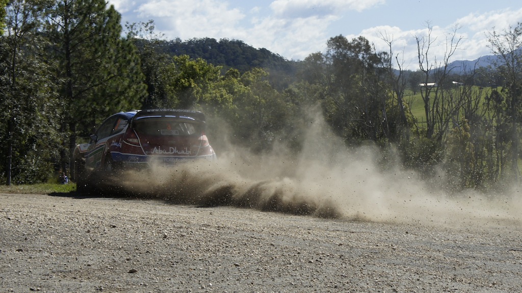
WRC Australia 2011 - SS15 Welshes 2 - Sat 10th Sept

fire pit

WRC Australia 2011 - SS12 Grace 1 - Sat 10th Sept

WRC Australia 2011 - SS15 Welshes 2 - Sat 10th Sept

WRC Australia 2011 - SS15 Welshes 2 - Sat 10th Sept

WRC Australia 2011 - SS15 Welshes 2 - Sat 10th Sept
WRC Australia 2011 - SS15 Welshes 2 - Sat 10th Sept
Topographic Map of Mchughs Creek Rd, South Arm NSW, Australia
Find elevation by address:

Places near Mchughs Creek Rd, South Arm NSW, Australia:
Nambucca Shire Council
Medlow Public School
Burrapine
521 Greenhills Rd
Bakers Creek
Upper Taylors Arm
Bowraville
Missabotti
1841 Valla Rd
64 Helliwells Rd
697 Bellingen Rd
Millbank
4 Jellico St
Macksville
Malibells Country Cottages
Kalang Road
1399 Bowraville Rd
1399 Bowraville Rd
1399 Bowraville Rd
Spicketts Creek
Recent Searches:
- Elevation of Lagasgasan, X+CQH, Tiaong, Quezon, Philippines
- Elevation of Rojo Ct, Atascadero, CA, USA
- Elevation of Flagstaff Drive, Flagstaff Dr, North Carolina, USA
- Elevation of Avery Ln, Lakeland, FL, USA
- Elevation of Woolwine, VA, USA
- Elevation of Lumagwas Diversified Farmers Multi-Purpose Cooperative, Lumagwas, Adtuyon, RV32+MH7, Pangantucan, Bukidnon, Philippines
- Elevation of Homestead Ridge, New Braunfels, TX, USA
- Elevation of Orchard Road, Orchard Rd, Marlborough, NY, USA
- Elevation of 12 Hutchinson Woods Dr, Fletcher, NC, USA
- Elevation of Holloway Ave, San Francisco, CA, USA