Elevation of McFarland, CA, USA
Location: United States > California > Kern County >
Longitude: -119.22927
Latitude: 35.6780104
Elevation: 108m / 354feet
Barometric Pressure: 100KPa
Elevation Map:
Satellite Map:
Related Photos:

J's Coffee Shop ~ Delano

A View of Delano Marketplace sign
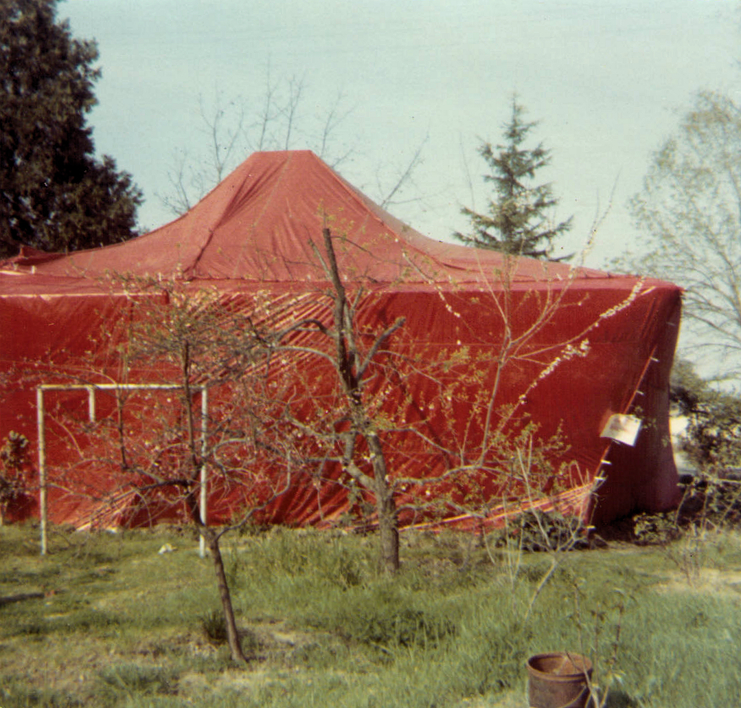
House in a Tent

A View of Cecil Avenue Railroad Crossing in Delano,Ca
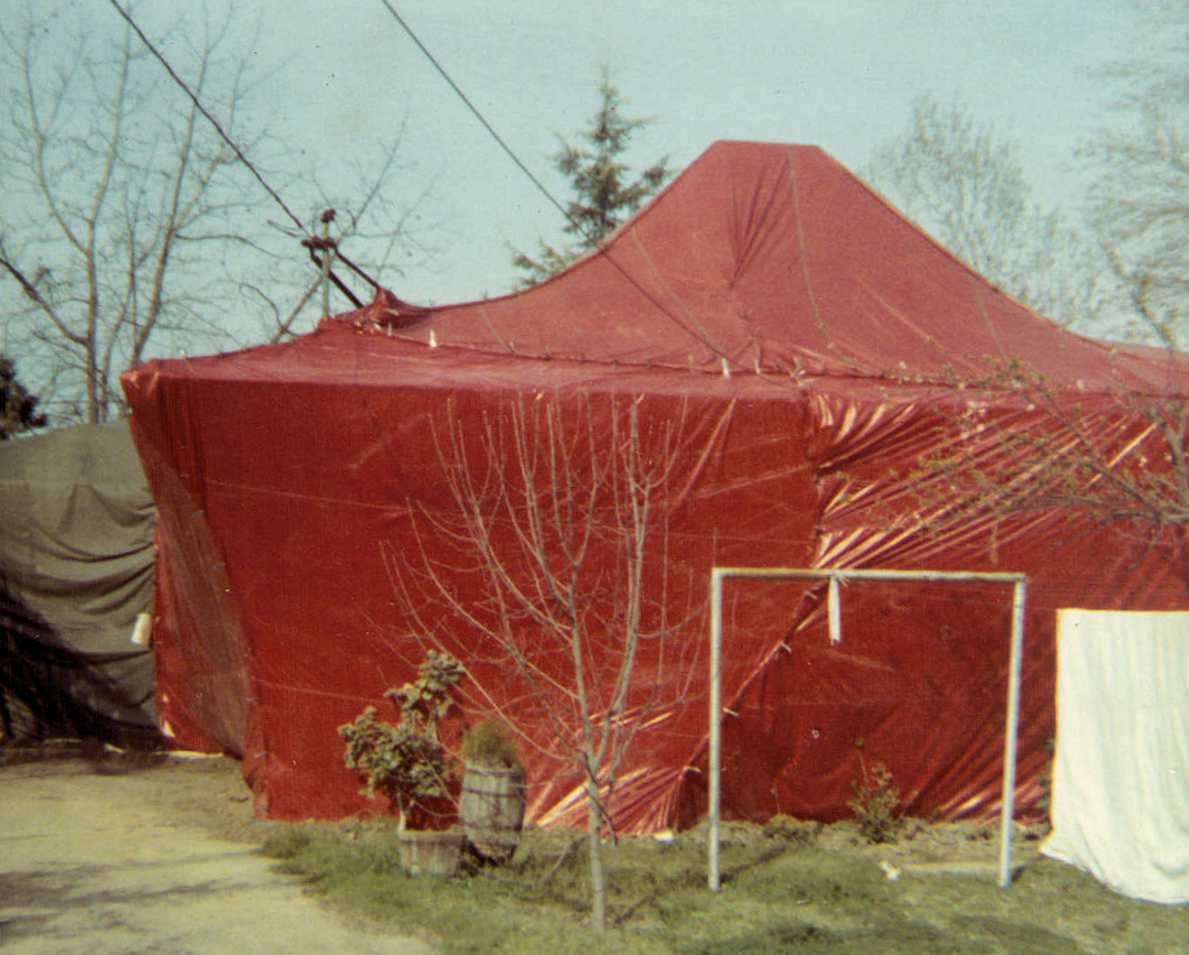
House in a Tent

A View of the Old US&S Searchlight Signals

A View of the Delano Marketplace

A View of Avenue 16 Railroad Crossing
2008.1105_JTP_6158
2008.1105_JTP_6159
Easter green.
2008.1105_JTP_6192
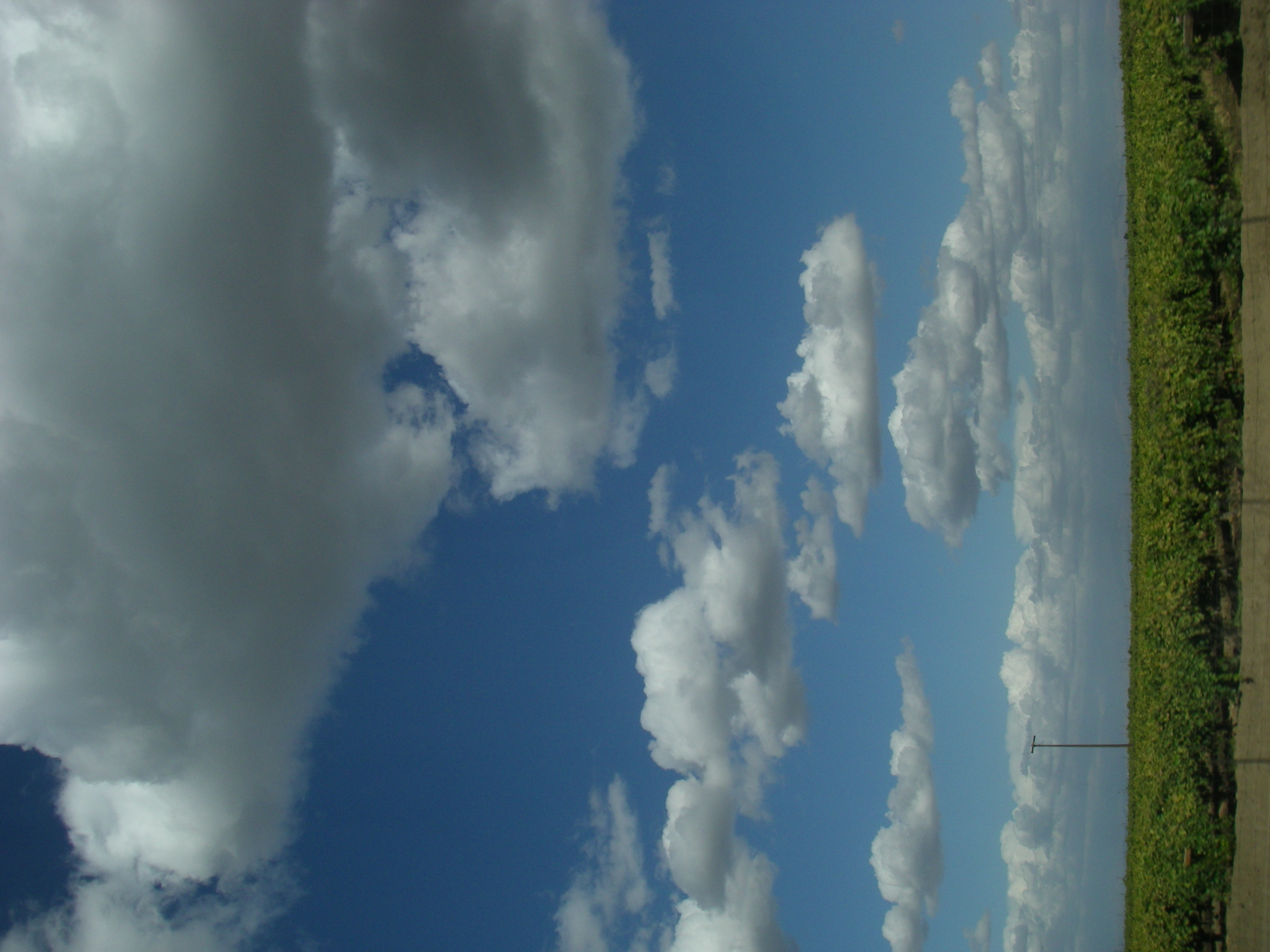
Clouds on Rte. 99
2008.1105_JTP_6165
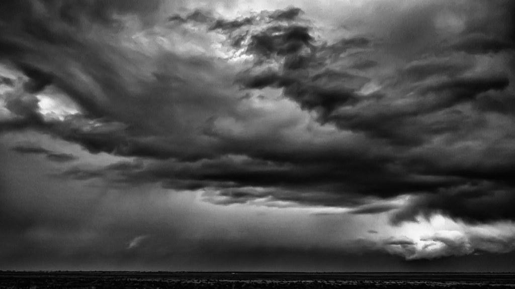
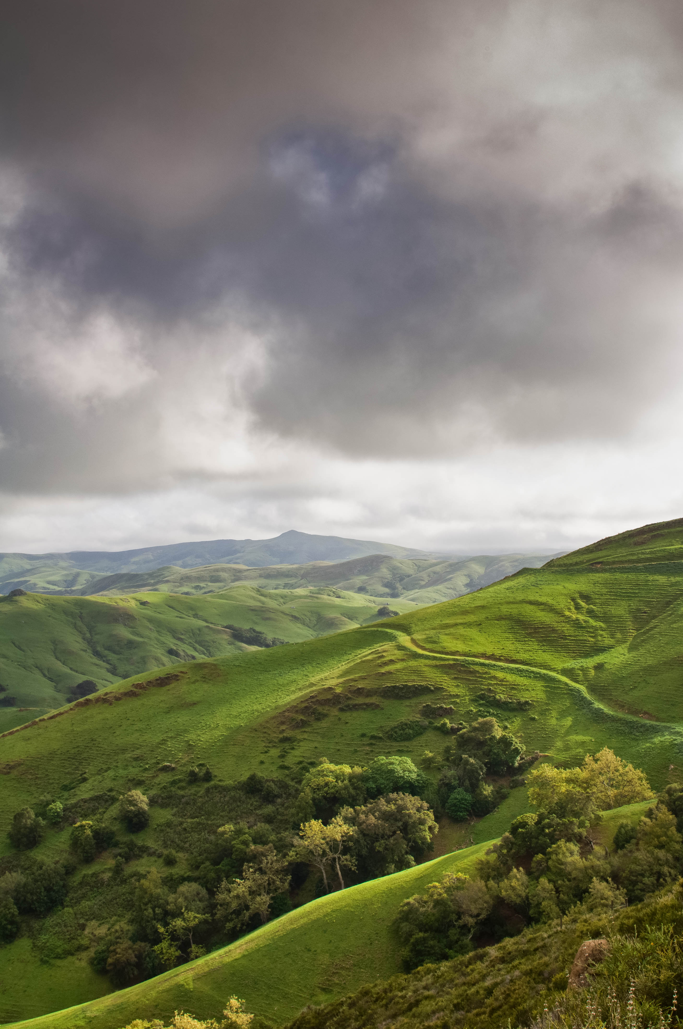
Rain Storm Approaches, Wasco, CA

New field at Jasmine Vineyards
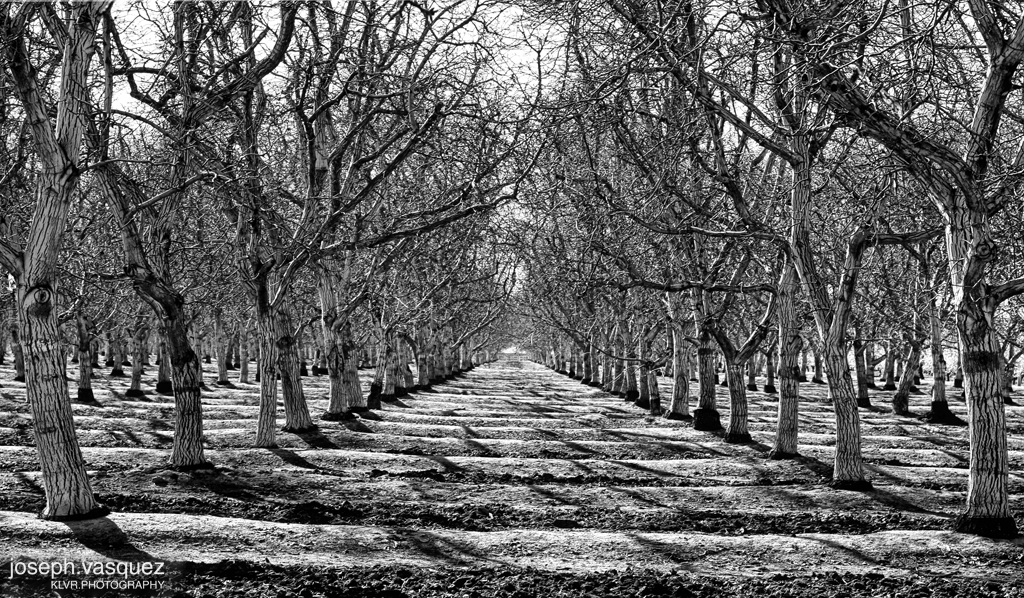
Walnut Trees
b003_0A (2)

Roadtrip USA
Topographic Map of McFarland, CA, USA
Find elevation by address:

Places in McFarland, CA, USA:
C St, McFarland, CA, USA
Famoso Porterville Hwy, McFarland, CA, USA
Pond Rd, McFarland, CA, USA
Famoso
Places near McFarland, CA, USA:
Pond Rd, McFarland, CA, USA
Famoso Porterville Hwy, McFarland, CA, USA
Atwell Island Water District
Famoso
C St, McFarland, CA, USA
Delano
53 Central Valley Hwy, Wasco, CA, USA
Pond Rd, Wasco, CA, USA
Famoso Porterville Hwy, Delano, CA, USA
Delano, CA, USA
7th St, Wasco, CA, USA
Wasco
1833 D St
Rd, Delano, CA, USA
Richgrove
Dooley Dr, Richgrove, CA, USA
Klassen St, Shafter, CA, USA
Saint Andrews Crescent
Shafter
444 Freedman St
Recent Searches:
- Elevation of Snake Hill Rd, North Scituate, RI, USA
- Elevation of Lake Shore Dr, Warwick, RI, USA
- Elevation of E Brightview Ave, Pittsburgh, PA, USA
- Elevation of Cavendish Rd, Harringay Ladder, London N4 1RR, UK
- Elevation of 1 Zion Park Blvd, Springdale, UT, USA
- Elevation of Ganderbal
- Elevation map of Konkan Division, Maharashtra, India
- Elevation of Netaji Nagar, Hallow Pul, Kurla, Mumbai, Maharashtra, India
- Elevation of Uralsk, Kazakhstan
- Elevation of 45- Kahana Dr, Honokaa, HI, USA