Elevation of McFall, MO, USA
Location: United States > Missouri > Gentry County > Miller Township >
Longitude: -94.223286
Latitude: 40.1108327
Elevation: 303m / 994feet
Barometric Pressure: 98KPa
Elevation Map:
Satellite Map:
Related Photos:
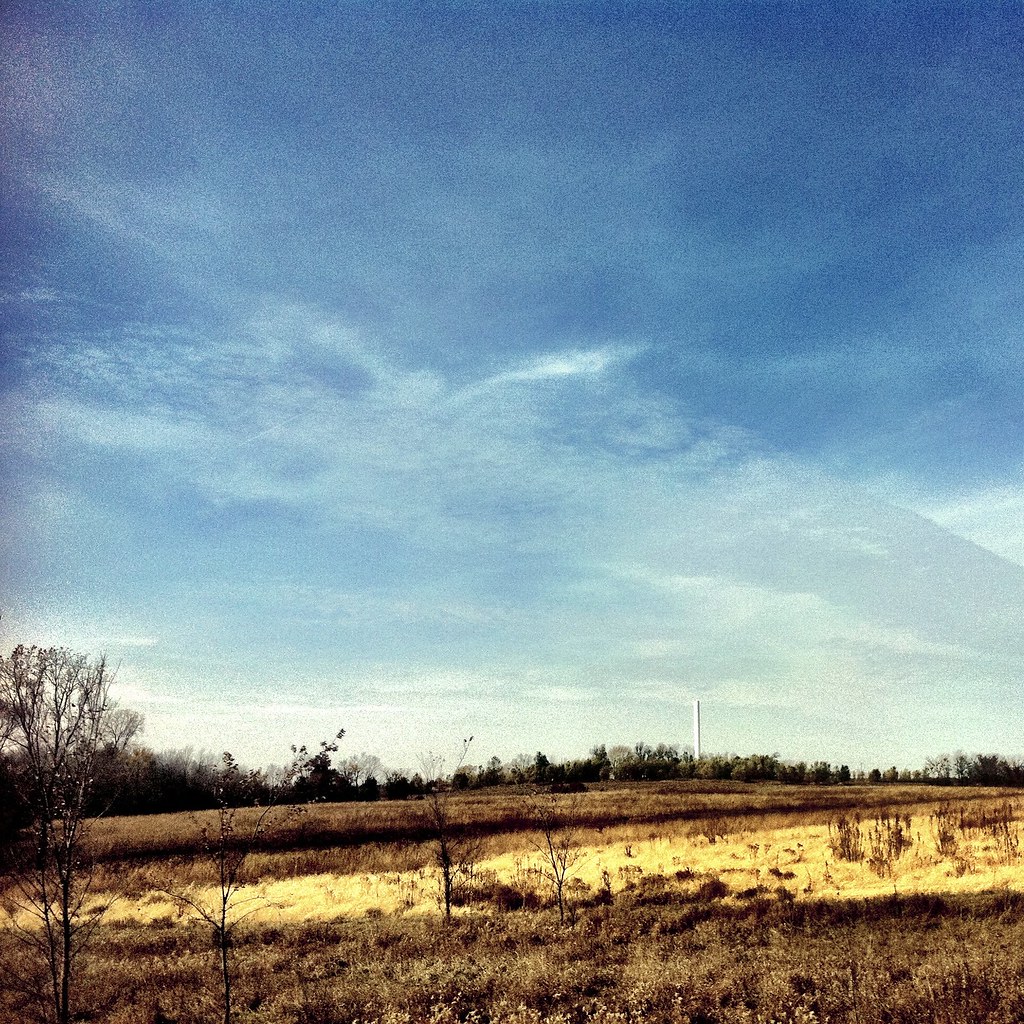
Water Tower
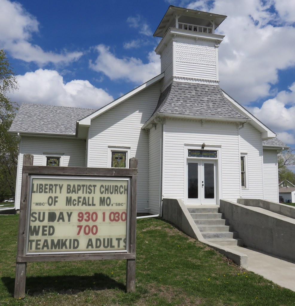
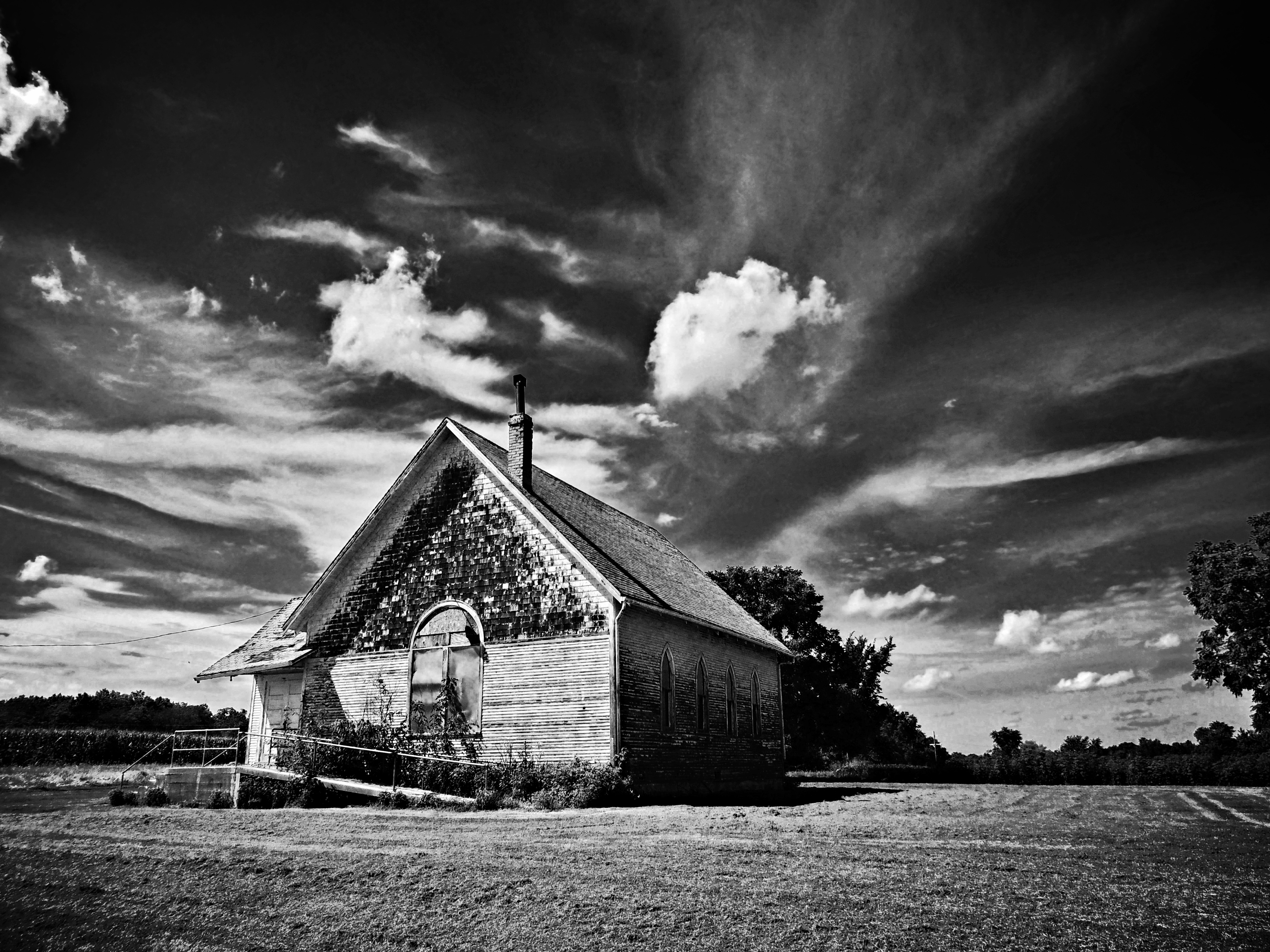
Liberty Baptist Church (McFall, Missouri)
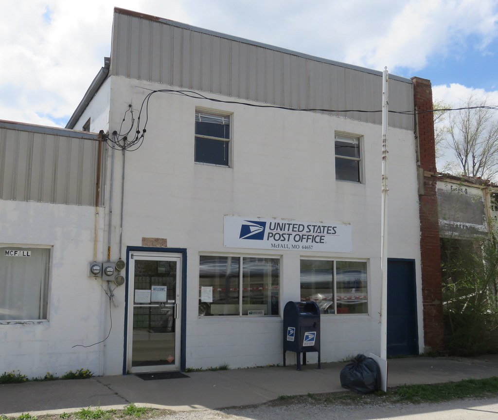
Post Office 64657 (McFall, Missouri)

Old Farm Supply Store (McFall, Missouri)
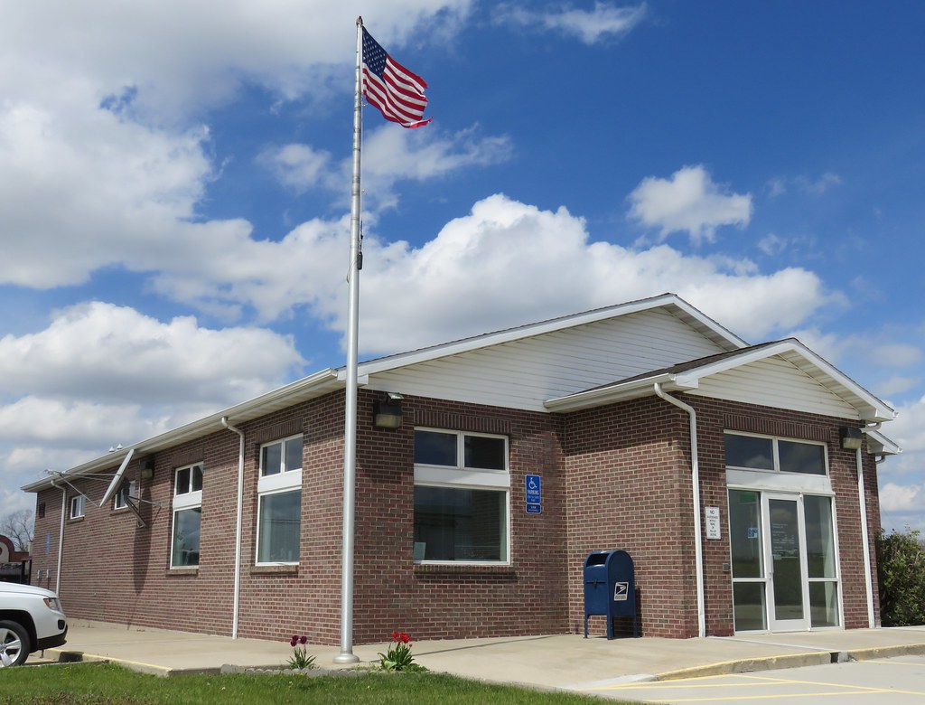
Post Office 64670 (Pattonsburg, Missouri)
that old time religion...

Mike Gallardo
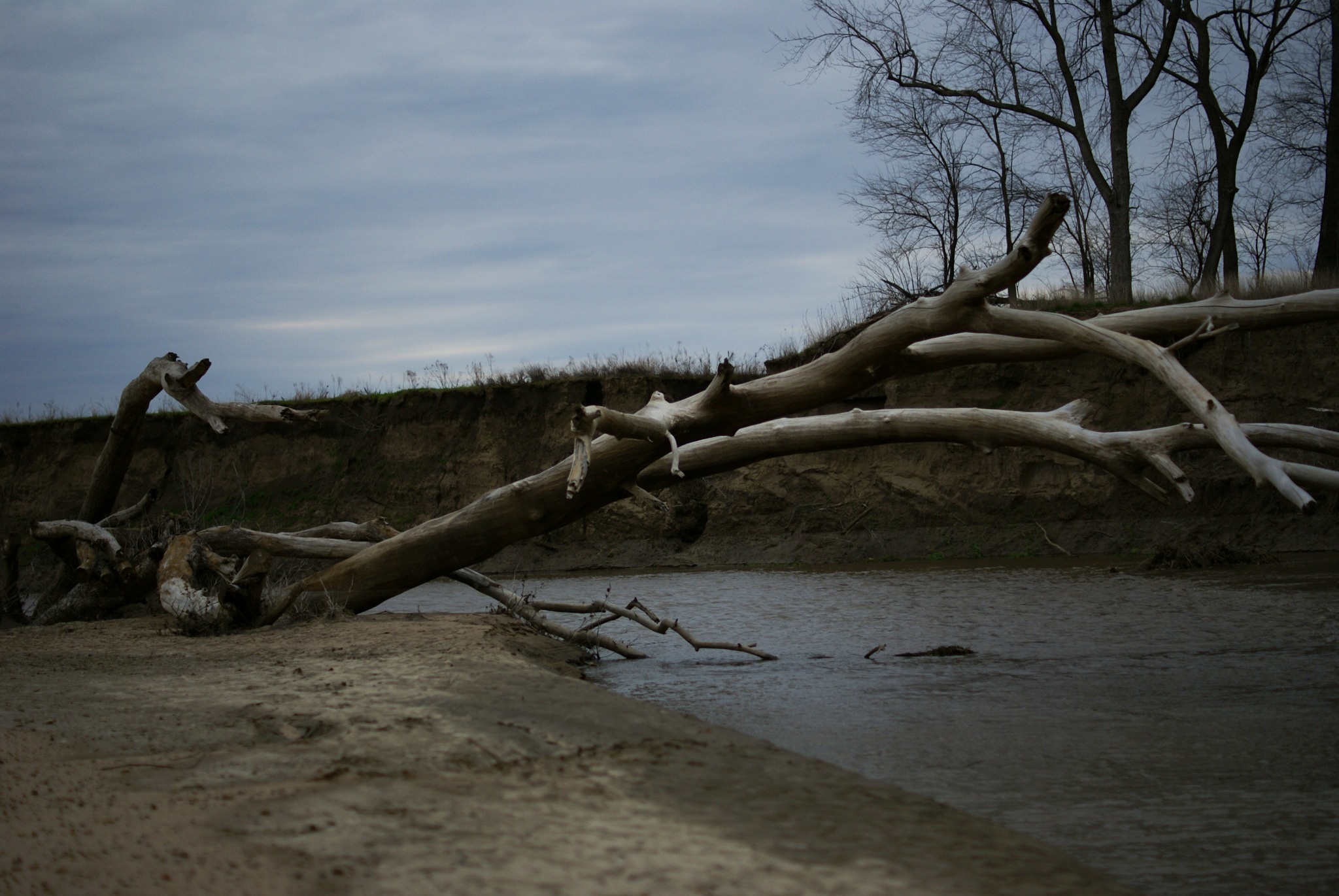
Grand River
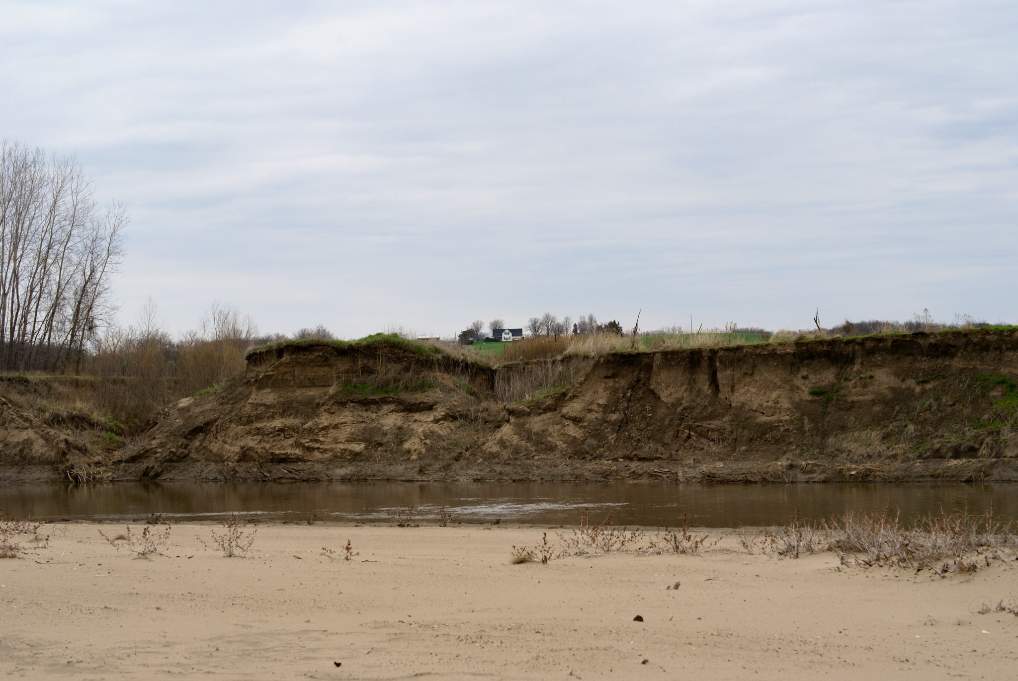
Grand River

2012-04-27 19.13.53

On Display...Soon

Where it All Started

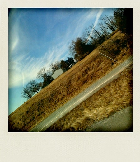
Miley's FIrst Road Trip

Mikey's First Road Trip
On the Road 1
Topographic Map of McFall, MO, USA
Find elevation by address:

Places in McFall, MO, USA:
Places near McFall, MO, USA:
Main St, McFall, MO, USA
Miller Township
Athens Township
1104 E Canaday St
304 E Clay St
Albany
1105 E Us Hwy 136
502 Olive St
Albany, MO, USA
Adams Township
Southeast State Highway Ee
Gentry County
Jackson Township
101 W Vermont St
101 W Vermont St
King City
W Vermont St, King City, MO, USA
Grand River Township
Southeast State Highway Ee
N Alanthus Ave, Stanberry, MO, USA
Recent Searches:
- Elevation of W Granada St, Tampa, FL, USA
- Elevation of Pykes Down, Ivybridge PL21 0BY, UK
- Elevation of Jalan Senandin, Lutong, Miri, Sarawak, Malaysia
- Elevation of Bilohirs'k
- Elevation of 30 Oak Lawn Dr, Barkhamsted, CT, USA
- Elevation of Luther Road, Luther Rd, Auburn, CA, USA
- Elevation of Unnamed Road, Respublika Severnaya Osetiya — Alaniya, Russia
- Elevation of Verkhny Fiagdon, North Ossetia–Alania Republic, Russia
- Elevation of F. Viola Hiway, San Rafael, Bulacan, Philippines
- Elevation of Herbage Dr, Gulfport, MS, USA