Elevation of Mc Call Dam Rd, Lewisburg, PA, USA
Location: United States > Pennsylvania > Union County >
Longitude: -77.178094
Latitude: 41.014026
Elevation: 434m / 1424feet
Barometric Pressure: 96KPa
Elevation Map:
Satellite Map:
Related Photos:

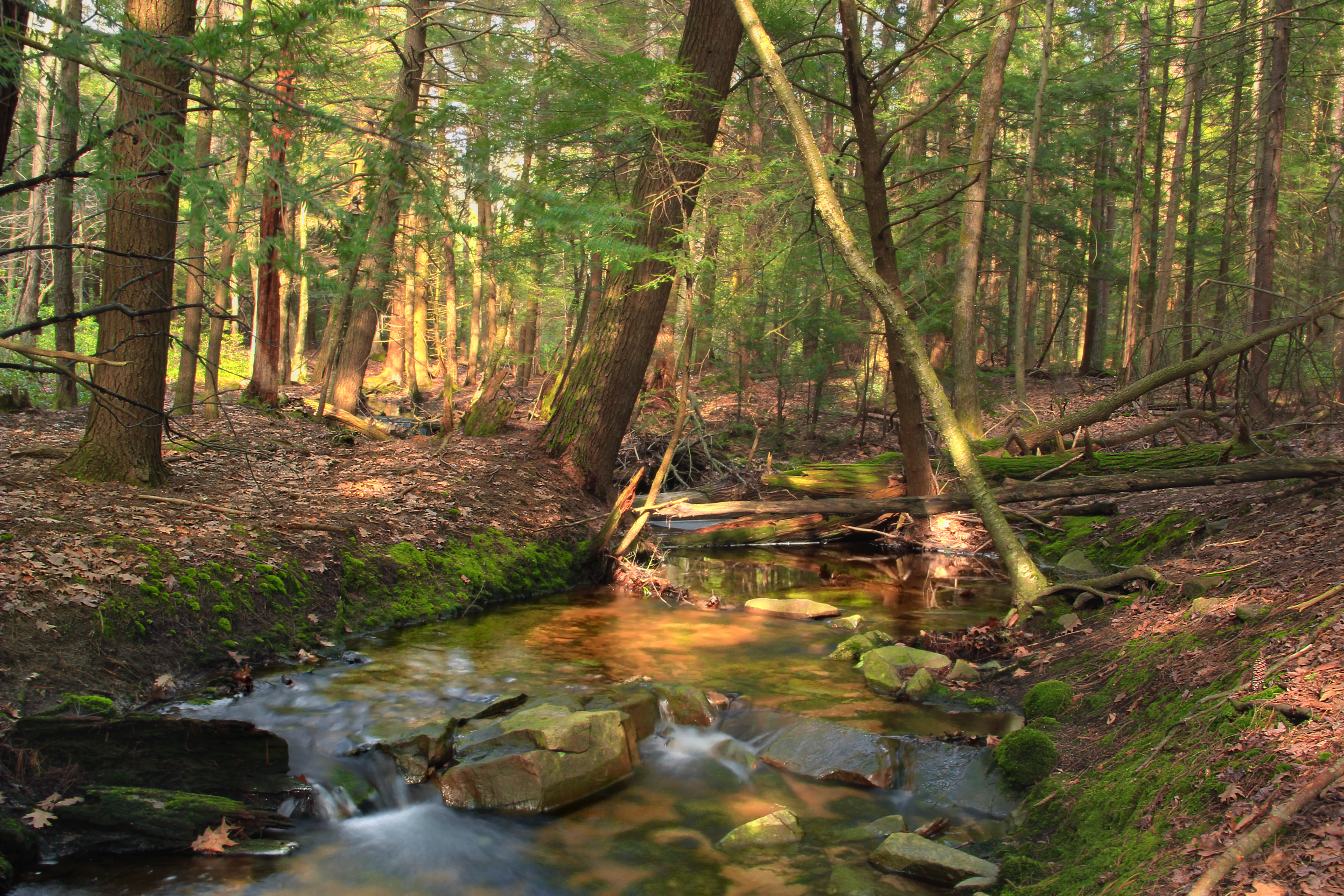
A hard worker takes a break...
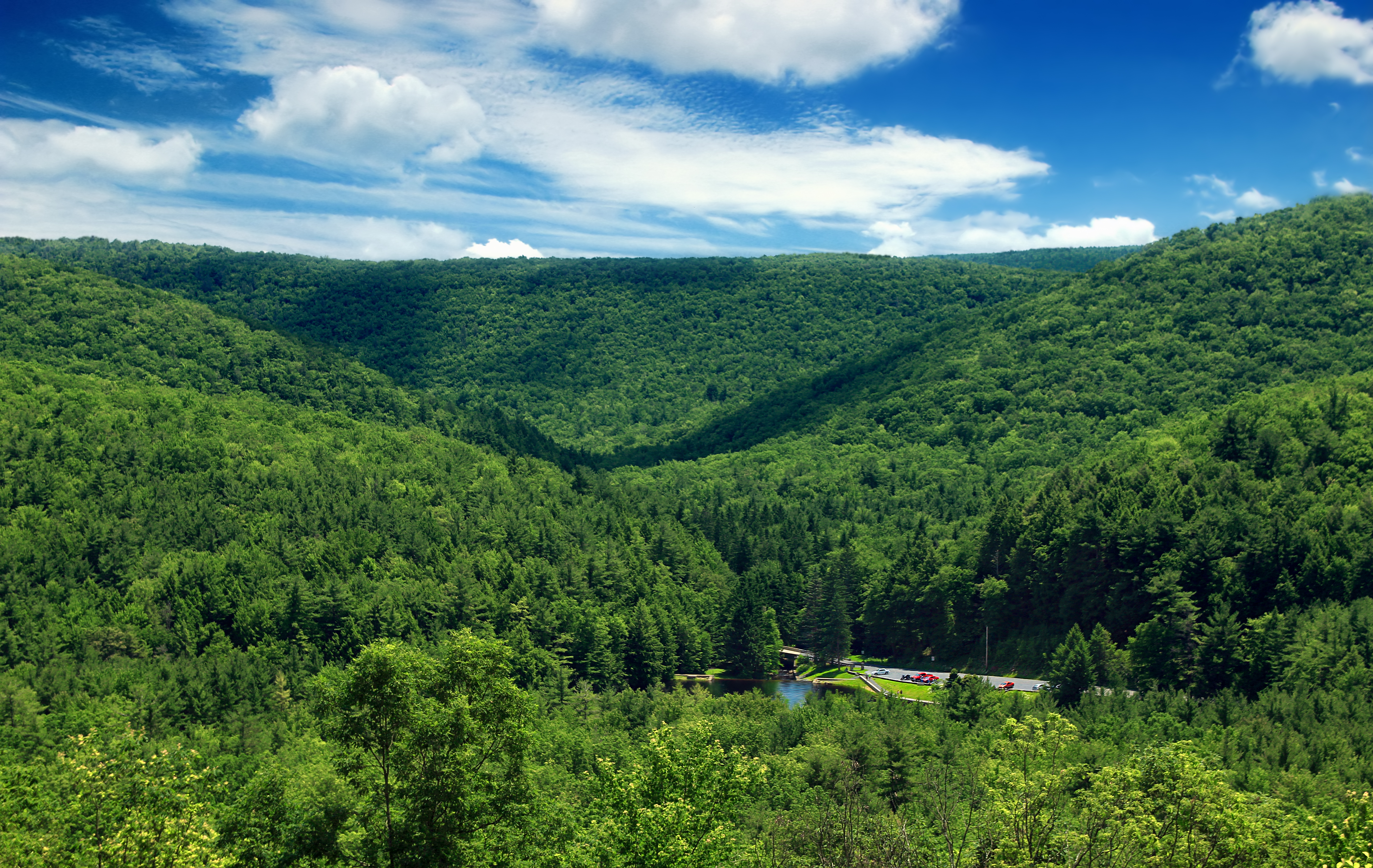
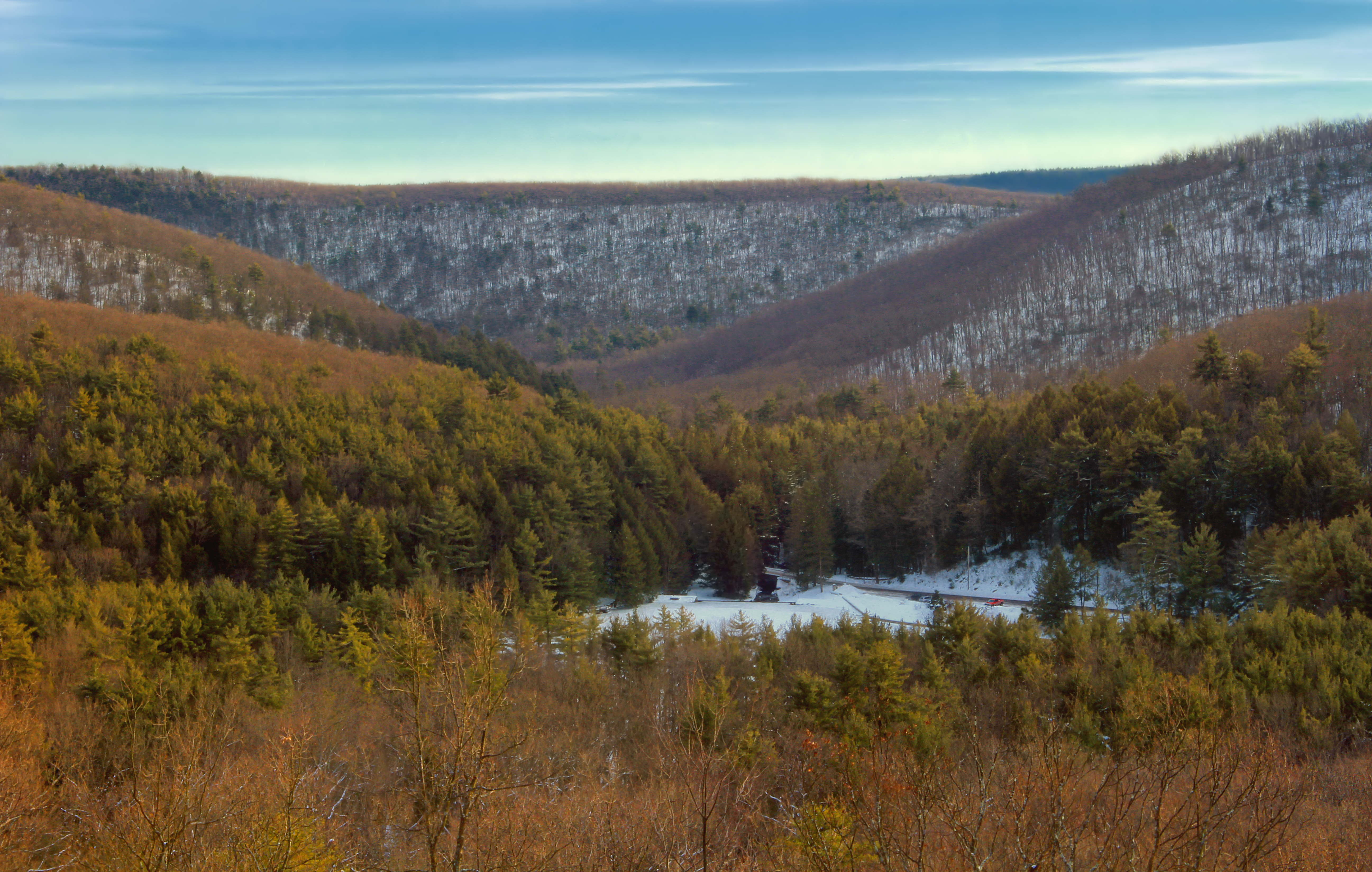
Valley view...
Mountain Basin

Traveler...

Hook Natural Area (Revisited) (2)

Hook Natural Area (Revisited) (3)
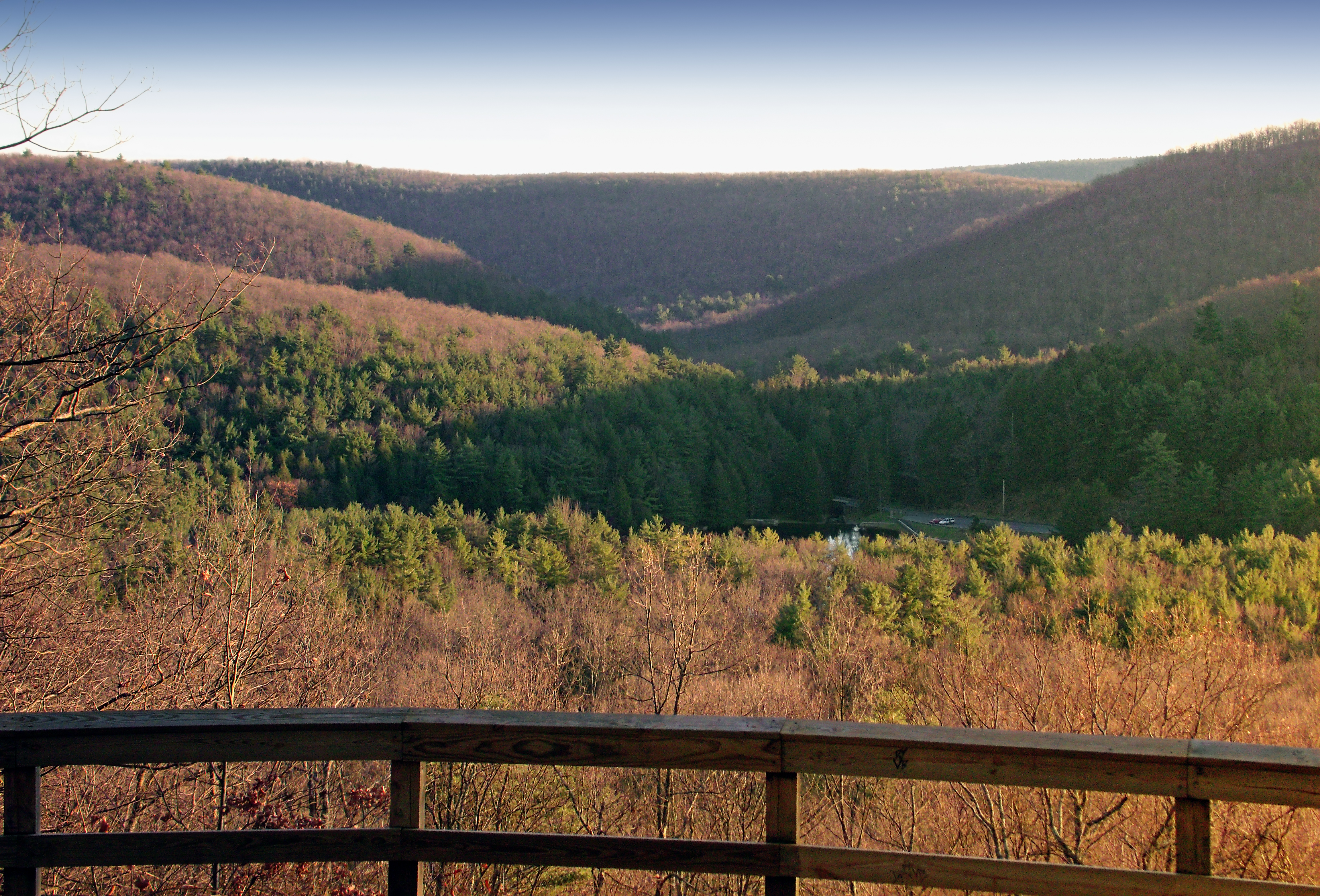
McCall Dam Road Overlook (Revisited)
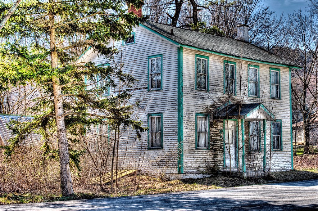
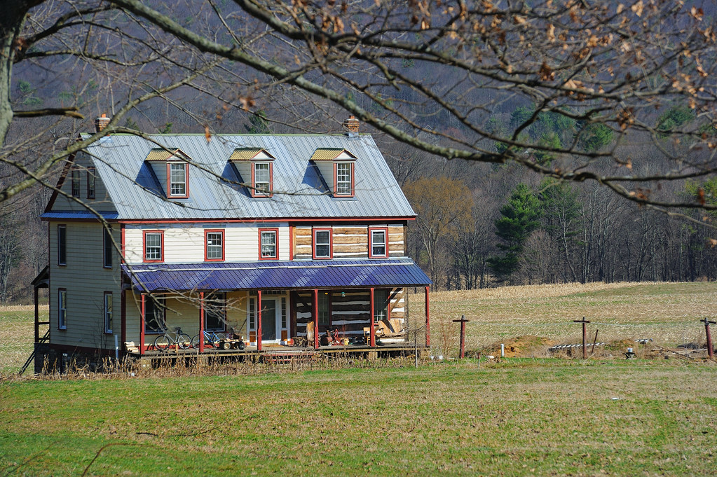
Better days have come and gone...

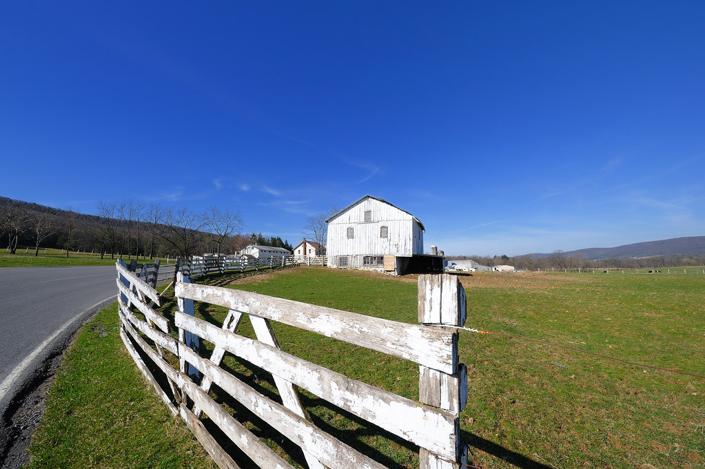
Country...
Half-Way House...

Air dry...

High visibility...
Right of way...

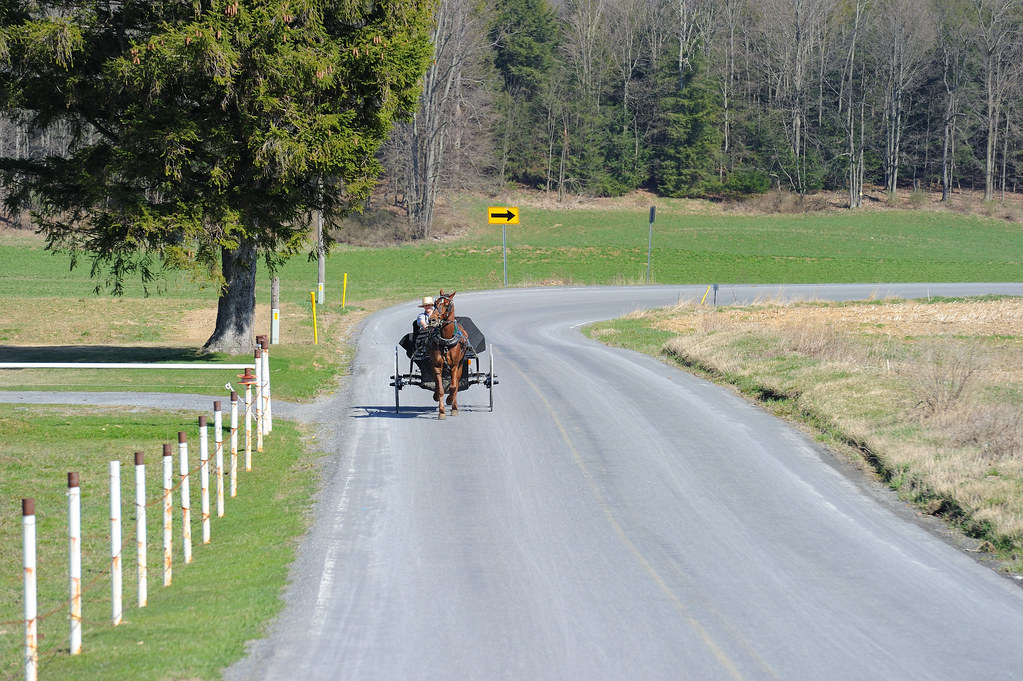
Country traffic...

Rock Creep (1)

Sand Bridge State Park (2)
Pit-and-Mound Microtopography
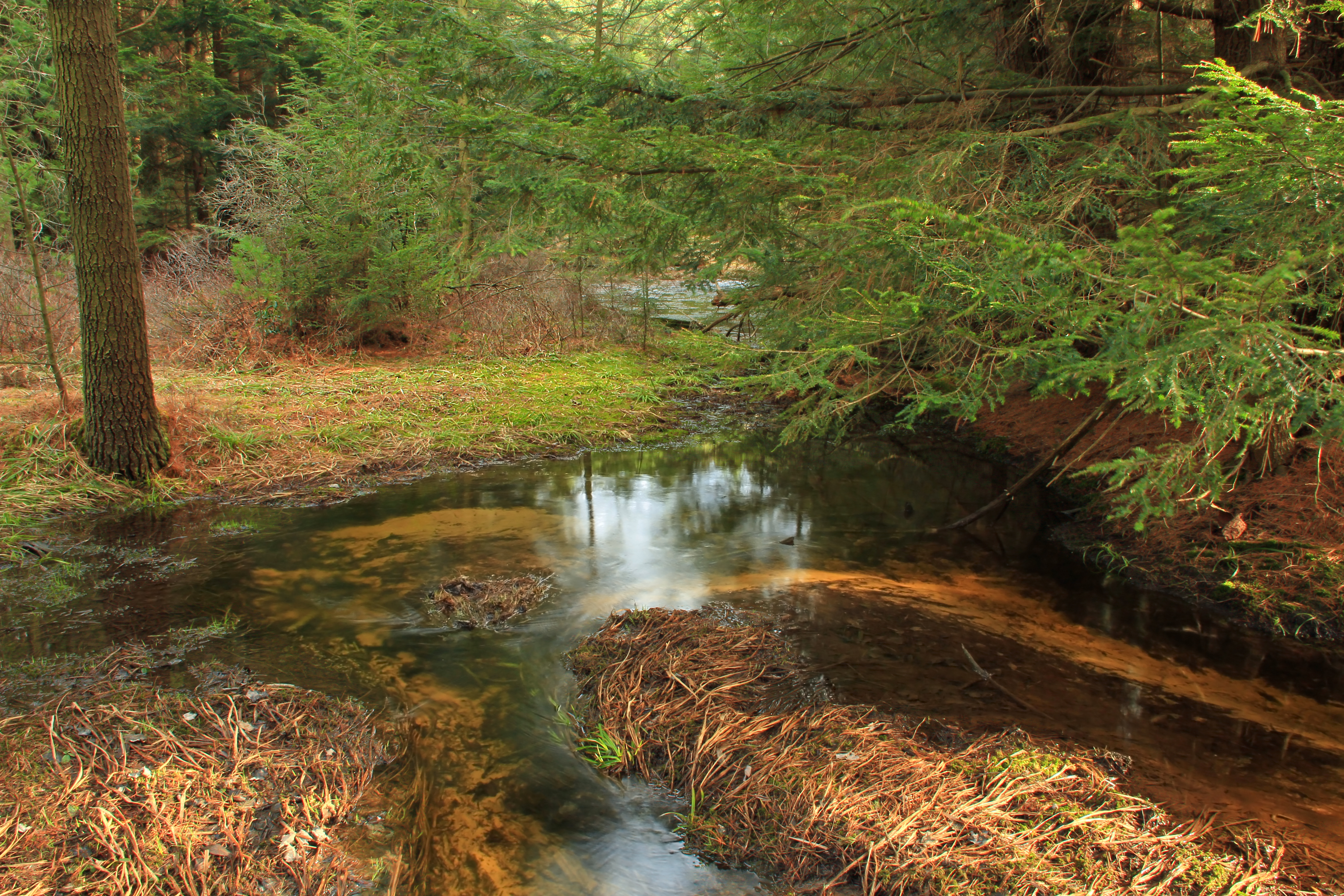
Mile Run (2)
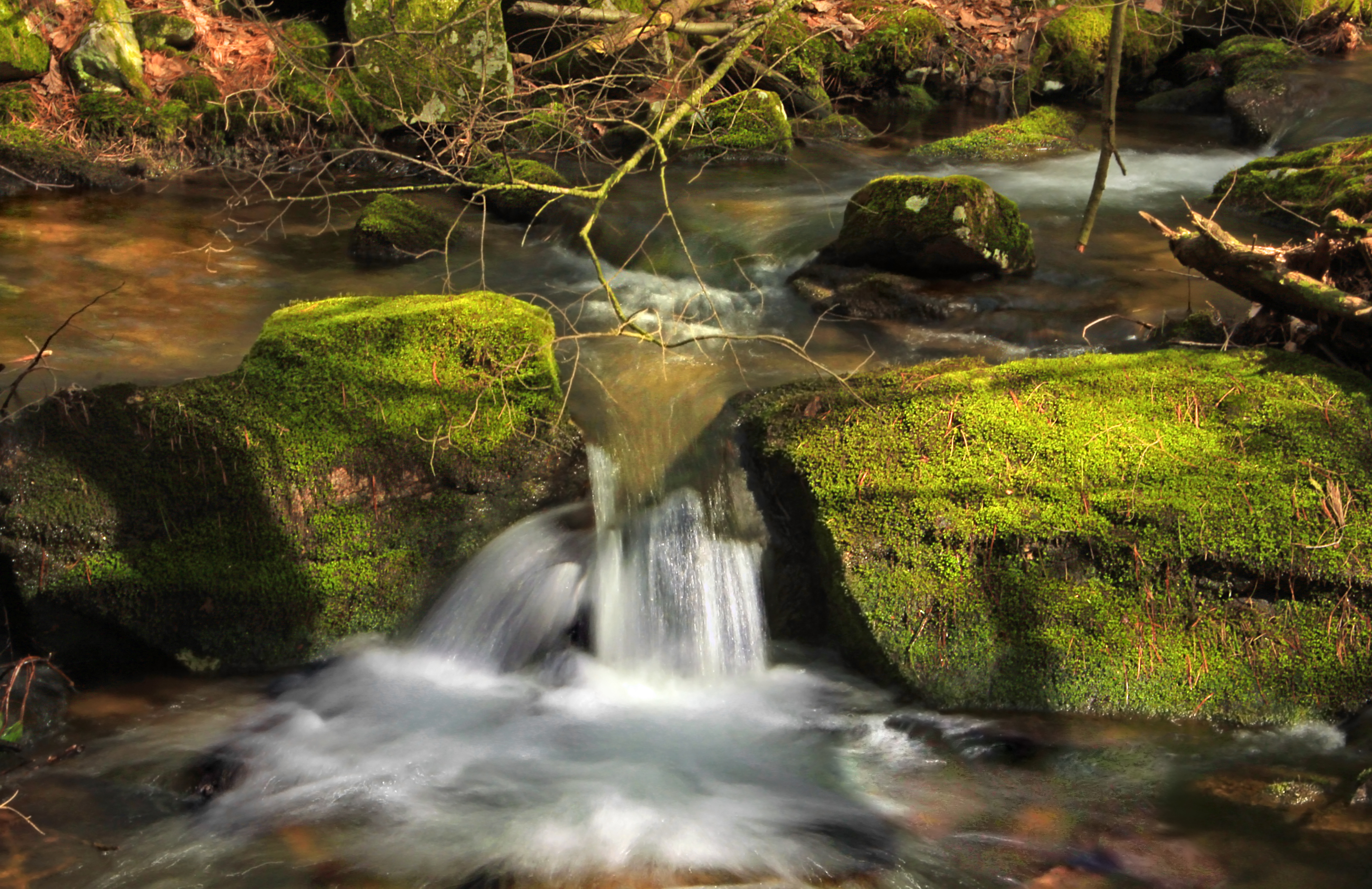
Halfway Run (2)
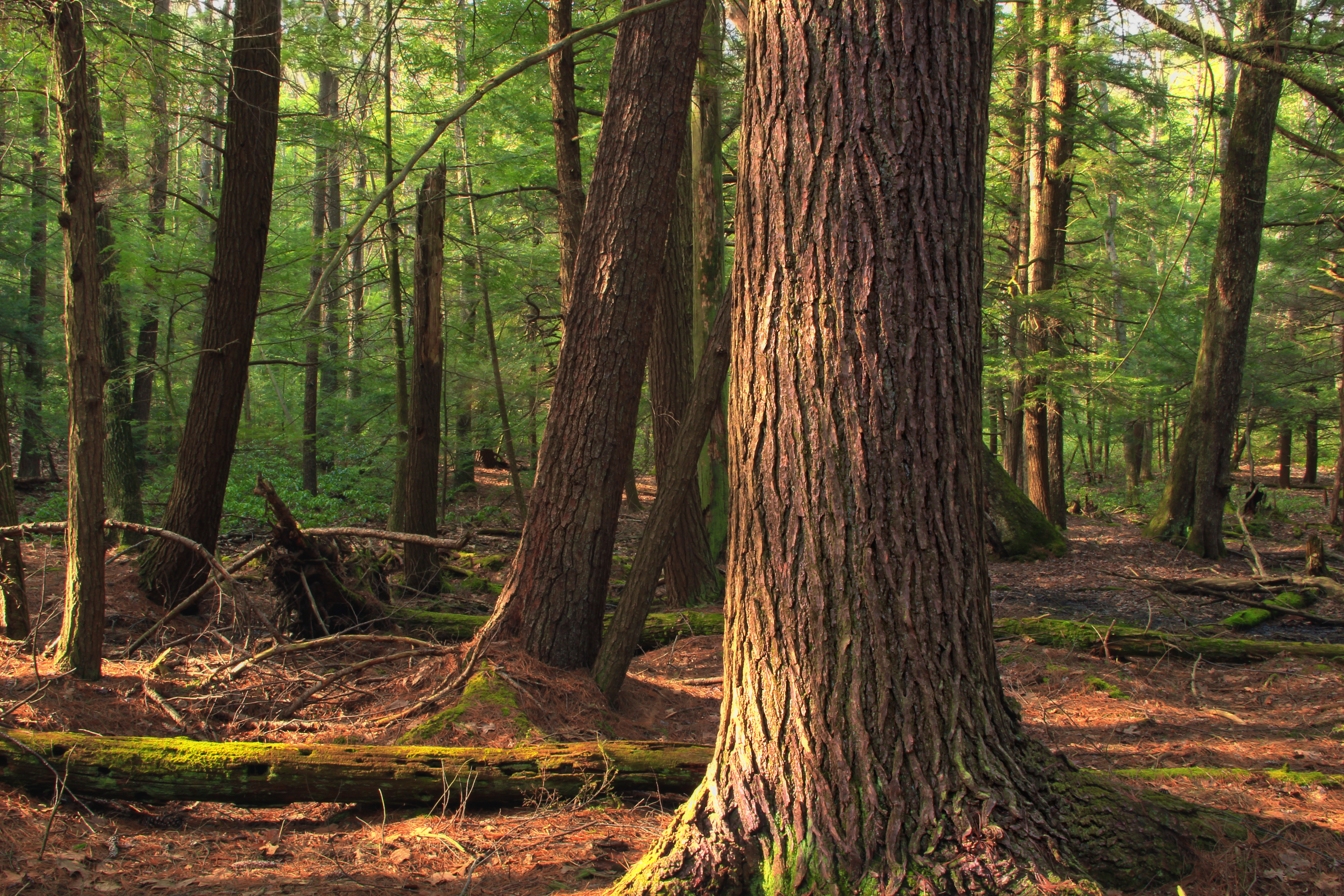
Pine-Needle Carpet

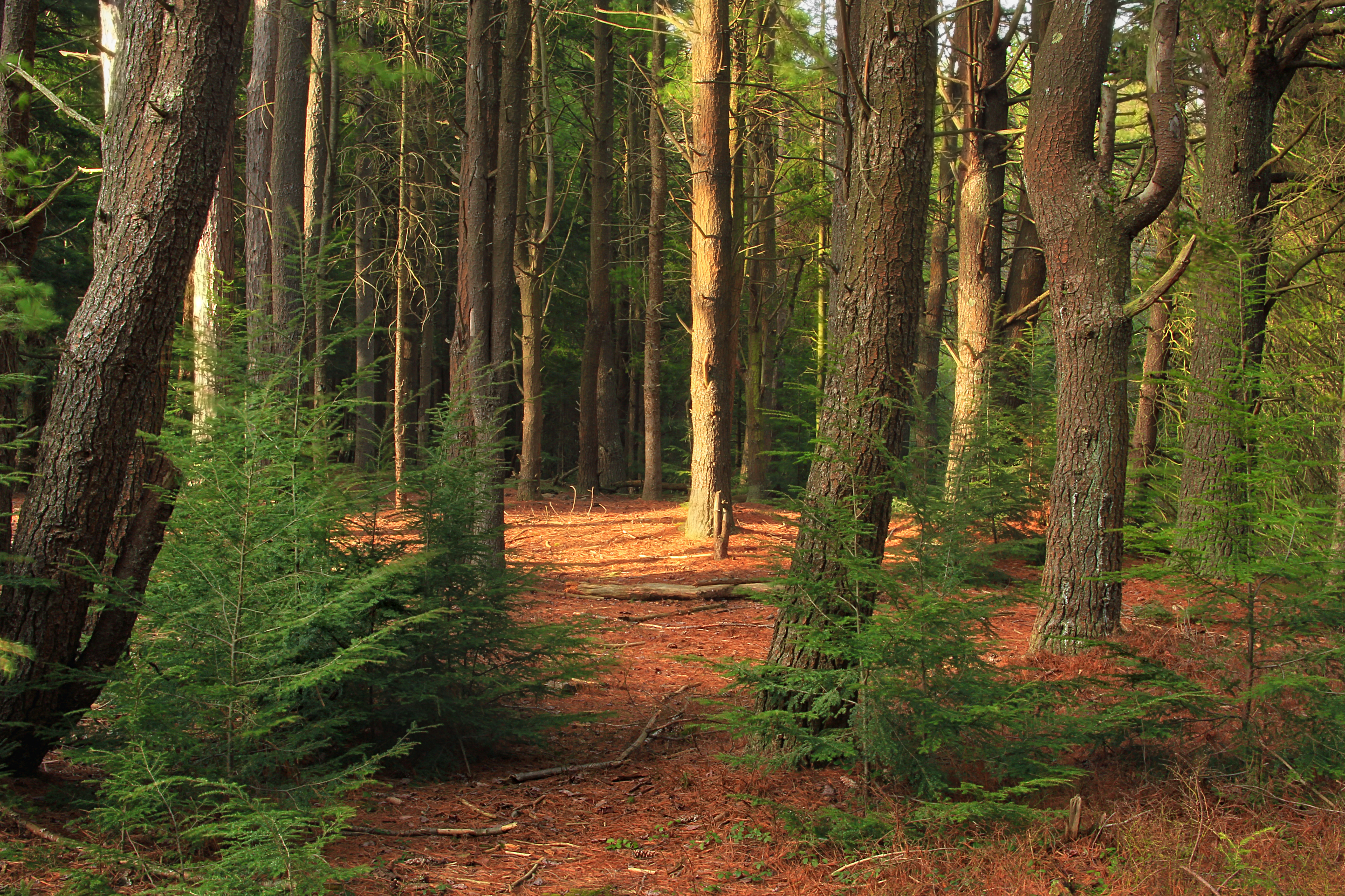
Top Mountain Trail (12)

Kalbfleisch Road Vista
Spruce Gap (1)

Top Mountain Trail (18)

Spruce Gap (5)

Spruce Gap (2)
Top Mountain Trail (19)
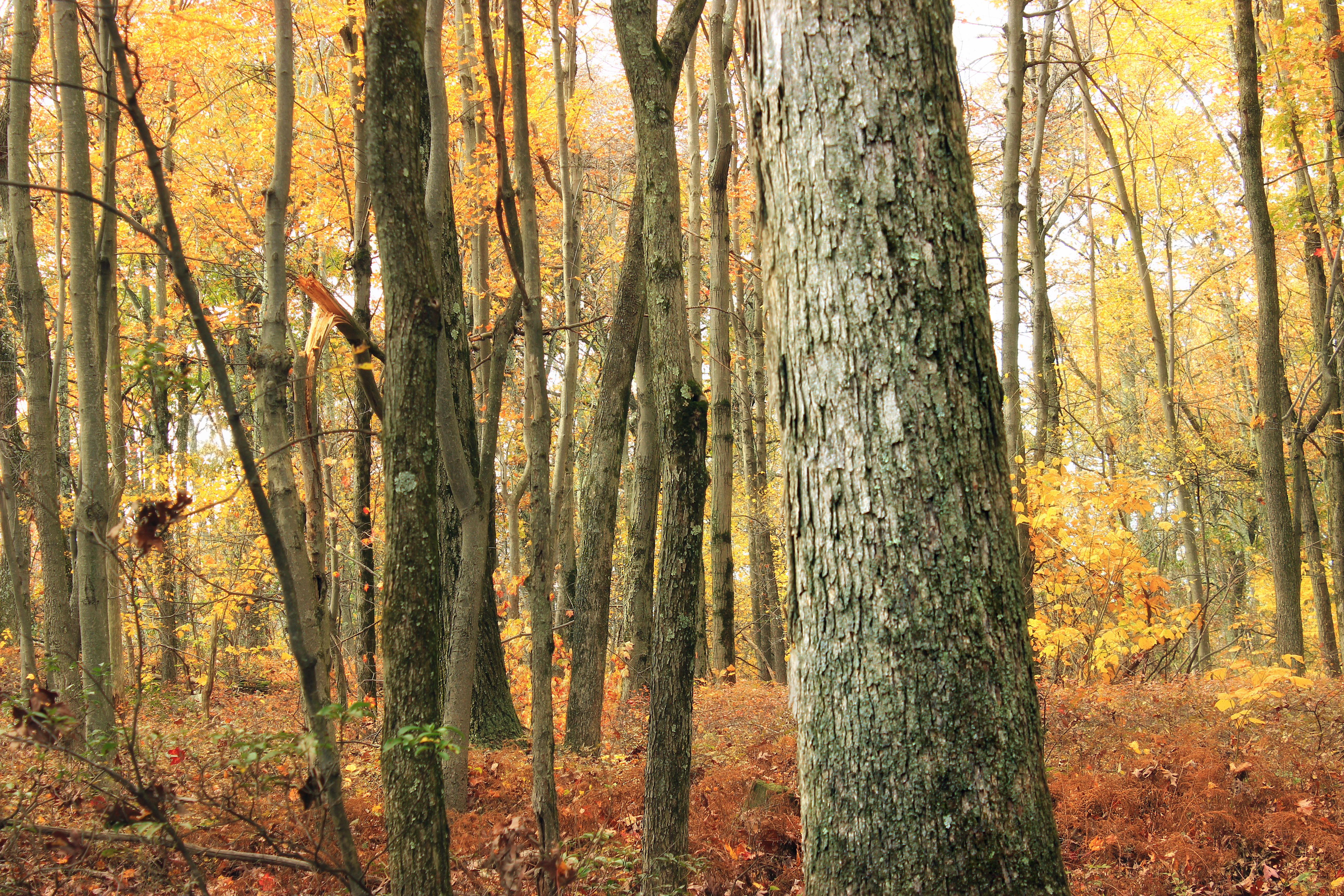
Halfway Run (3)
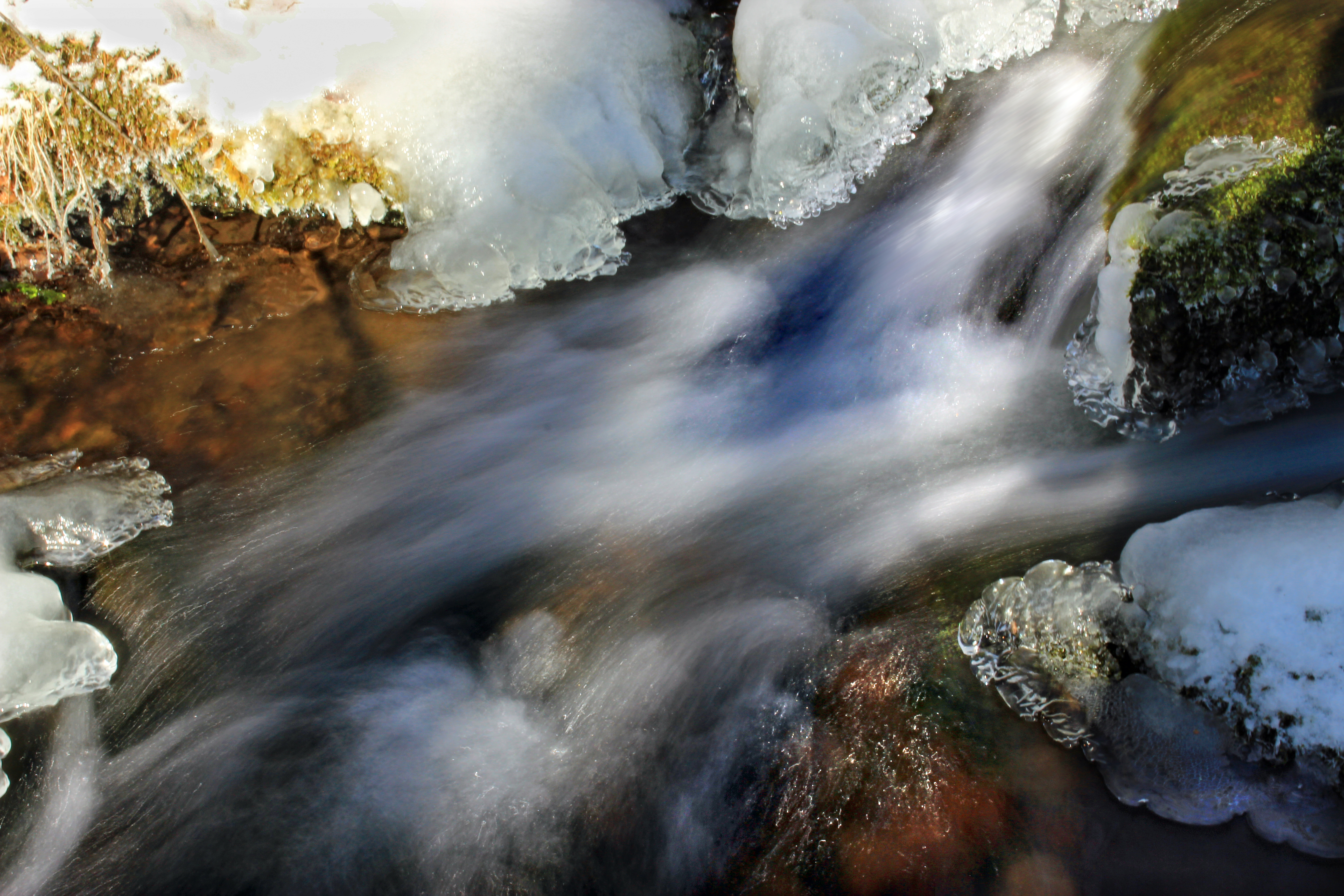
Subtle Light

Spruce Gap (3)

Spruce Gap (4)
Topographic Map of Mc Call Dam Rd, Lewisburg, PA, USA
Find elevation by address:

Places near Mc Call Dam Rd, Lewisburg, PA, USA:
E Valley Rd, Loganton, PA, USA
3275 Pleasant Grove Rd
Greene Township
Hartley Township
Main St, Millmont, PA, USA
Hartleton
9 Groupe Rd, Jersey Shore, PA, USA
Union County
Loganton
11 E Main St, Loganton, PA, USA
Little Mountain
Laurelton
Laurel Rd, Millmont, PA, USA
Millmont
Long Run Rd, Loganton, PA, USA
Buffalo Rd, Mifflinburg, PA, USA
219 Hummingbird Ln
W Valley Rd, Loganton, PA, USA
494 N 4th St
860 W Valley Rd
Recent Searches:
- Elevation of Corso Fratelli Cairoli, 35, Macerata MC, Italy
- Elevation of Tallevast Rd, Sarasota, FL, USA
- Elevation of 4th St E, Sonoma, CA, USA
- Elevation of Black Hollow Rd, Pennsdale, PA, USA
- Elevation of Oakland Ave, Williamsport, PA, USA
- Elevation of Pedrógão Grande, Portugal
- Elevation of Klee Dr, Martinsburg, WV, USA
- Elevation of Via Roma, Pieranica CR, Italy
- Elevation of Tavkvetili Mountain, Georgia
- Elevation of Hartfords Bluff Cir, Mt Pleasant, SC, USA