Elevation map of Mbulu, Tanzania
Location: Tanzania > Manyara Region >
Longitude: 35.3027226
Latitude: -3.9290566
Elevation: 1725m / 5659feet
Barometric Pressure: 82KPa
Elevation Map:
Satellite Map:
Related Photos:

Heading to the next camp

Heading to the next camp

Heading to the next camp

Heading to the next camp
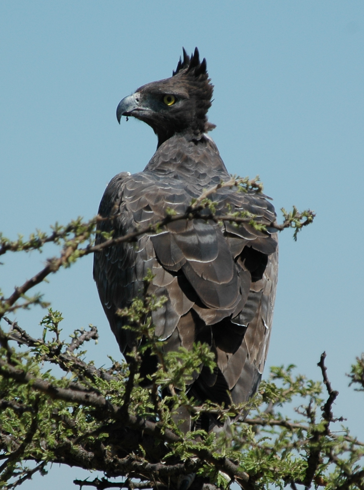
Martial Eagle
Topographic Map of Mbulu, Tanzania
Find elevation by address:

Places in Mbulu, Tanzania:
Places near Mbulu, Tanzania:
Karatu
Mbulu
Magara
Lake Manyara Tree Lodge
Magugu
Mwada
Babati
Babati
Tarangire National Park
Tarangire Osupuko Lodge
Chem Chem Lodge
Getamock Secondary School
Qurus
Lake Manyara
Endamarariek
Bashay Lodge
Endulen
Nkaiti
Farm Of Dreams Lodge
Lake Manyara National Park
Recent Searches:
- Elevation of Fern Rd, Whitmore, CA, USA
- Elevation of 62 Abbey St, Marshfield, MA, USA
- Elevation of Fernwood, Bradenton, FL, USA
- Elevation of Felindre, Swansea SA5 7LU, UK
- Elevation of Leyte Industrial Development Estate, Isabel, Leyte, Philippines
- Elevation of W Granada St, Tampa, FL, USA
- Elevation of Pykes Down, Ivybridge PL21 0BY, UK
- Elevation of Jalan Senandin, Lutong, Miri, Sarawak, Malaysia
- Elevation of Bilohirs'k
- Elevation of 30 Oak Lawn Dr, Barkhamsted, CT, USA