Elevation of Mbonambi, South Africa
Location: South Africa > Kwazulu-natal > (south) Uthungulu Dc >
Longitude: 32.259717
Latitude: -28.591917
Elevation: 29m / 95feet
Barometric Pressure: 101KPa
Elevation Map:
Satellite Map:
Related Photos:

Yellow billed kite / Black Kite

20150728-7913

20150728-3486
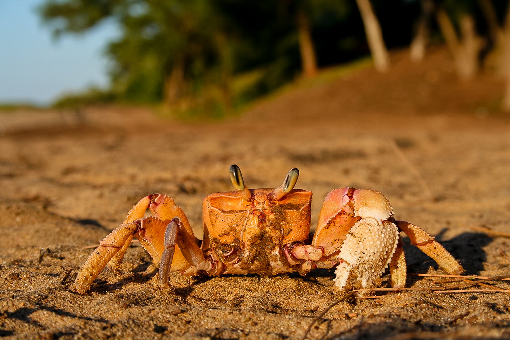
Pink ghost crab (Ocypode ryderi)

Tigertail (Ictinogomphus ferox)
Topographic Map of Mbonambi, South Africa
Find elevation by address:

Places near Mbonambi, South Africa:
Monzi Sh
Umfolozi Sugar Mill (pty) Ltd
Mtubatuba
Mtubatuba
Boardwalk Inkwazi Shopping Centre
Lakeside Mall
Richards Bay Central
Nsese
Richards Bay
Richards Bay Coal Terminal (pty) Ltd
Mondi
Umhlathuze Municipality
Emakwezini
Empangeni
Umfolozi Hotel, Casino And Convention Resort
Unnamed Road
Intshamanzi
(south) Uthungulu Dc
Mtilombo
Eshowe
Recent Searches:
- Elevation of 62 Abbey St, Marshfield, MA, USA
- Elevation of Fernwood, Bradenton, FL, USA
- Elevation of Felindre, Swansea SA5 7LU, UK
- Elevation of Leyte Industrial Development Estate, Isabel, Leyte, Philippines
- Elevation of W Granada St, Tampa, FL, USA
- Elevation of Pykes Down, Ivybridge PL21 0BY, UK
- Elevation of Jalan Senandin, Lutong, Miri, Sarawak, Malaysia
- Elevation of Bilohirs'k
- Elevation of 30 Oak Lawn Dr, Barkhamsted, CT, USA
- Elevation of Luther Road, Luther Rd, Auburn, CA, USA