Elevation map of Mazabuka, Zambia
Location: Zambia > Southern Province >
Longitude: 28.0186087
Latitude: -15.962660
Elevation: 1125m / 3691feet
Barometric Pressure: 89KPa
Elevation Map:
Satellite Map:
Related Photos:
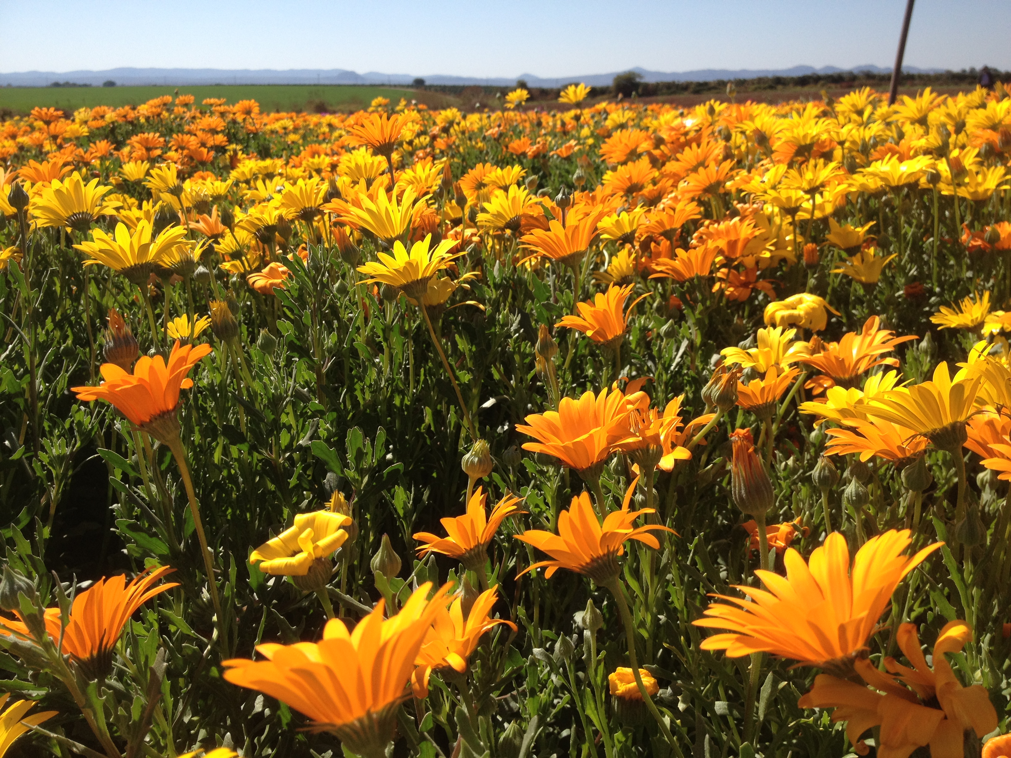
munali flowers 2
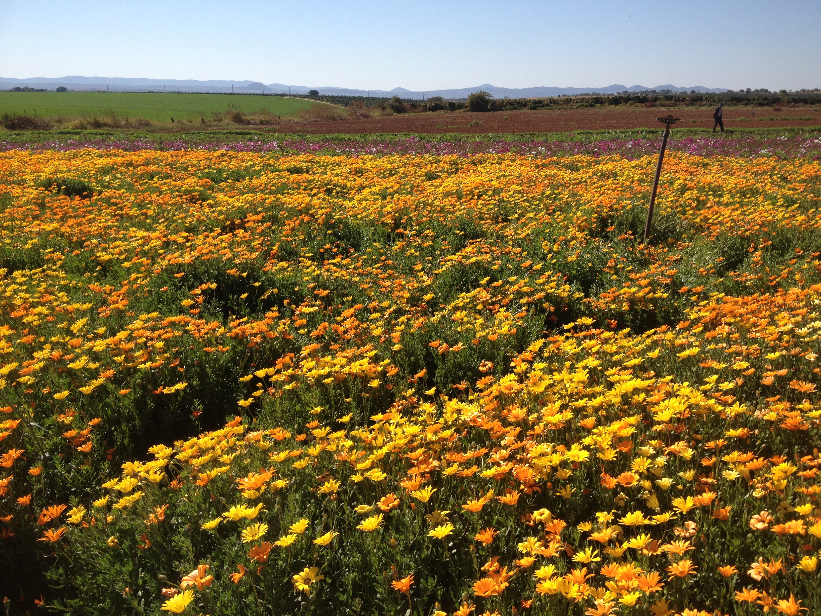
munali flowers 1
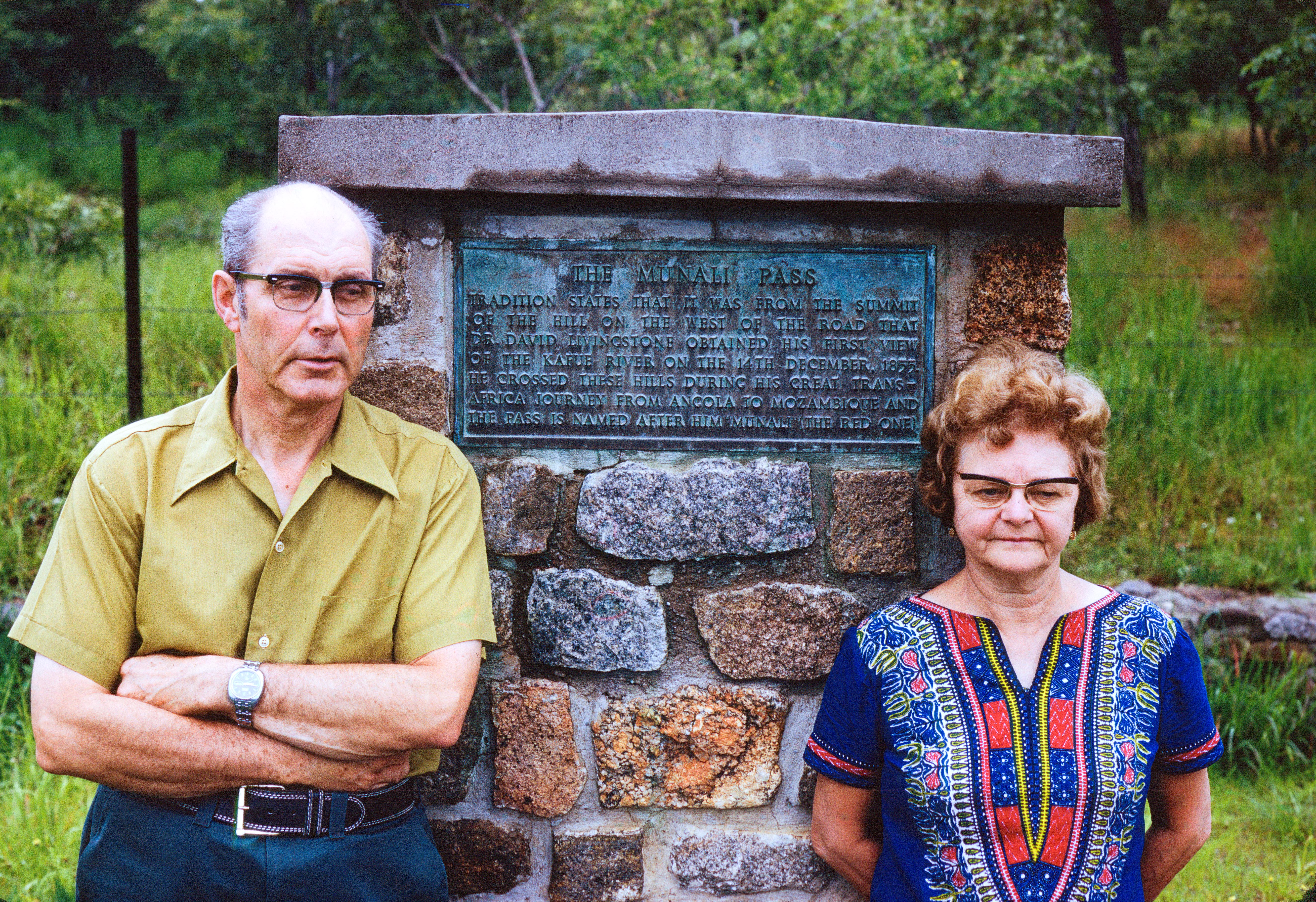
Vera and George at Munali Pass
Vera near Victoria Falls
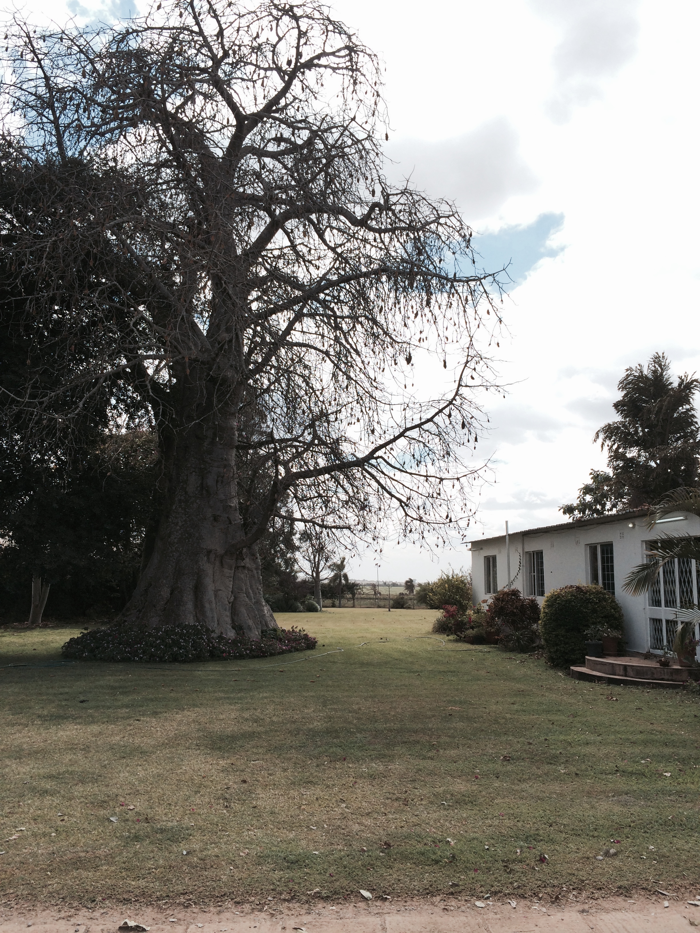
Mubuyu Tree
Hello Africa
Fishing on the Lunga
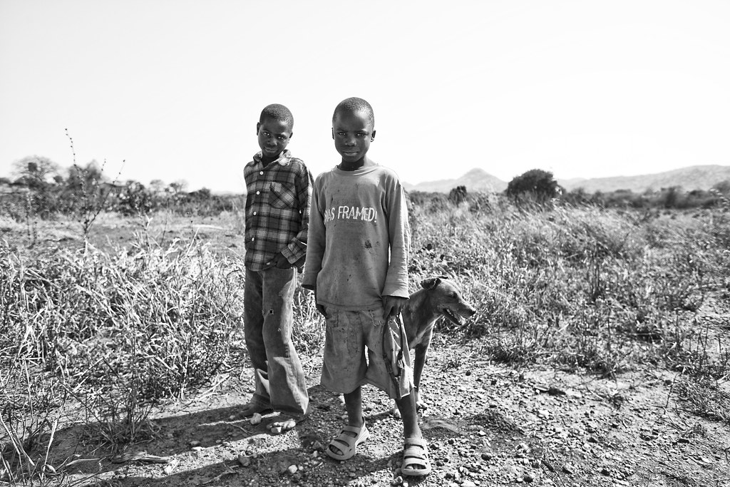
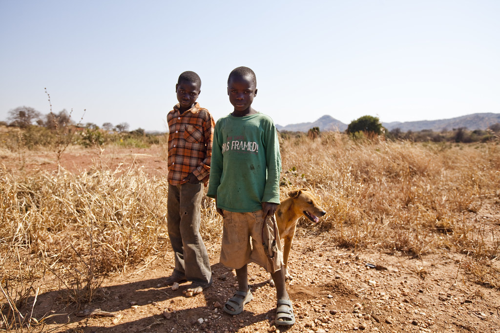
boys & dog
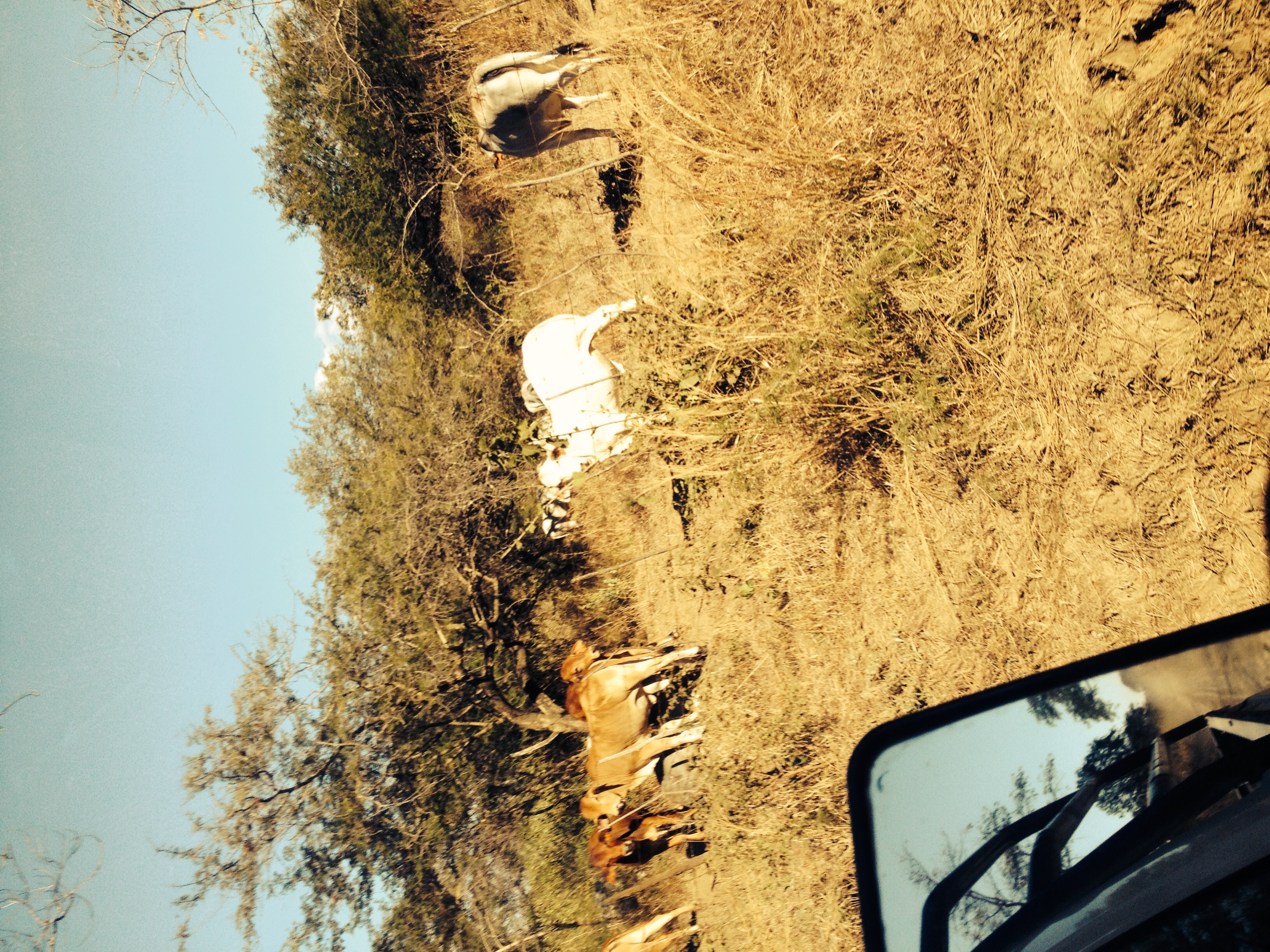
Hello Africa

Hello Africa

Hello Africa

Baba and Jessica
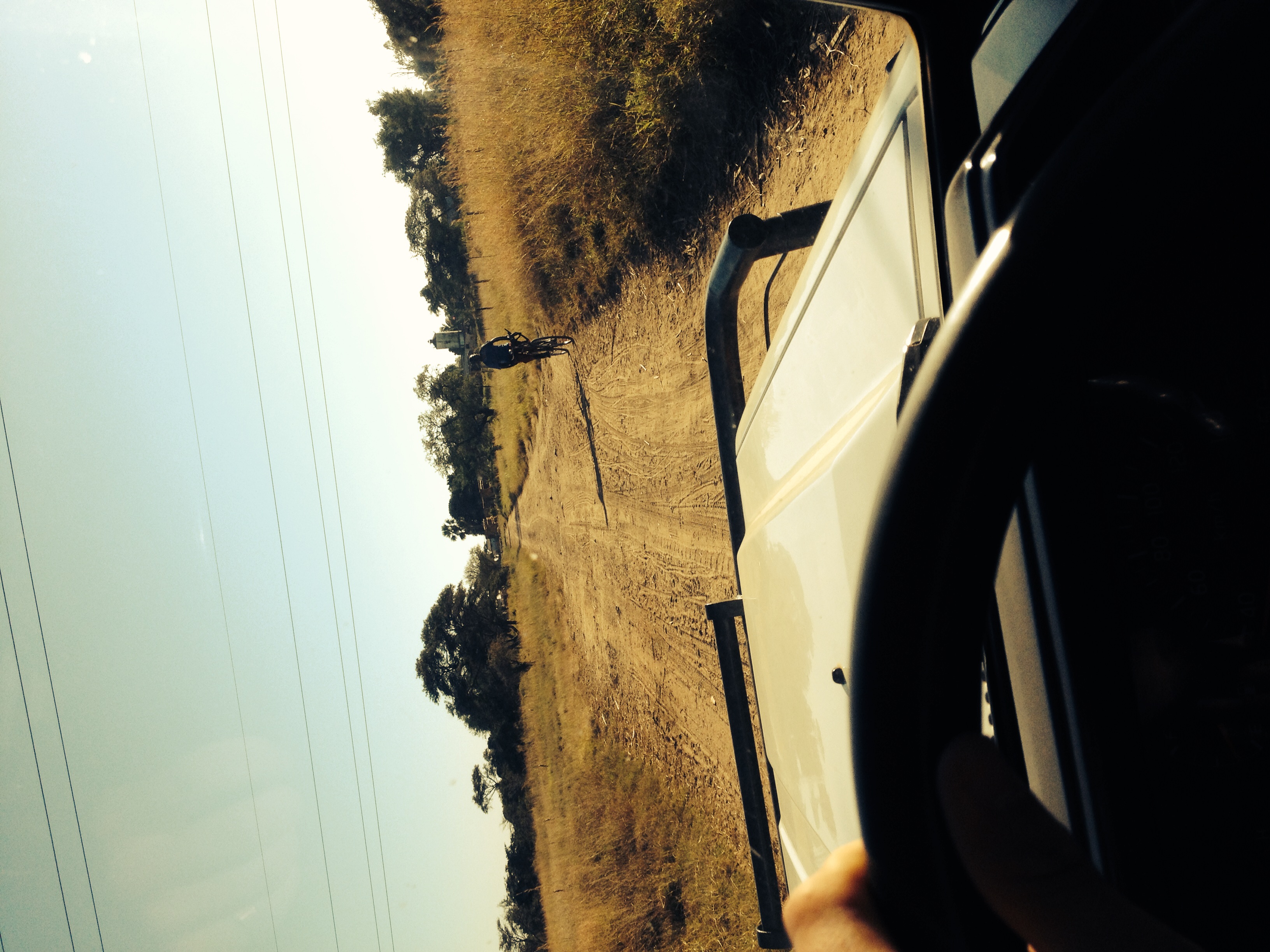
rest stop
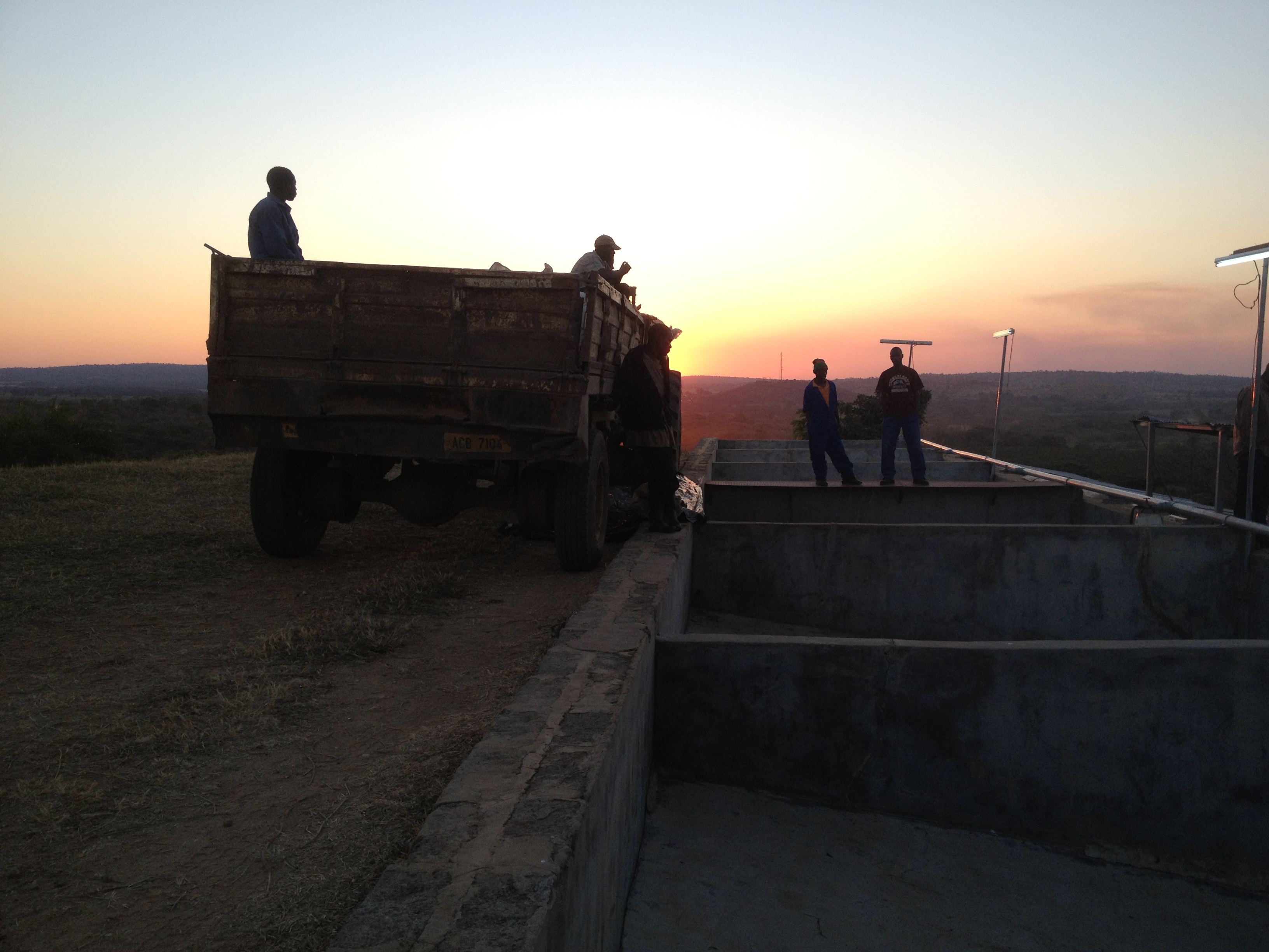
delivering cherry at sundown
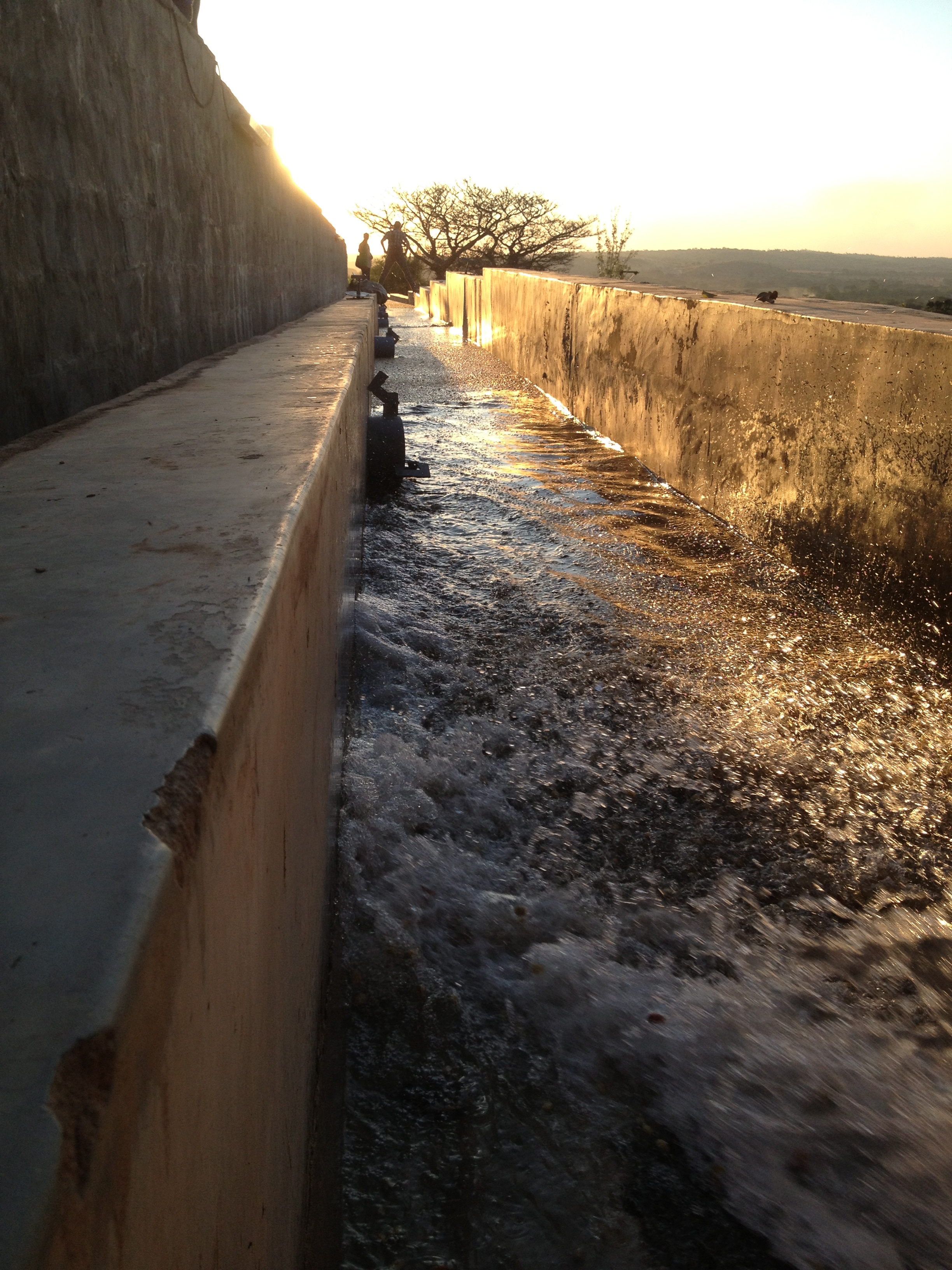
channel sorting
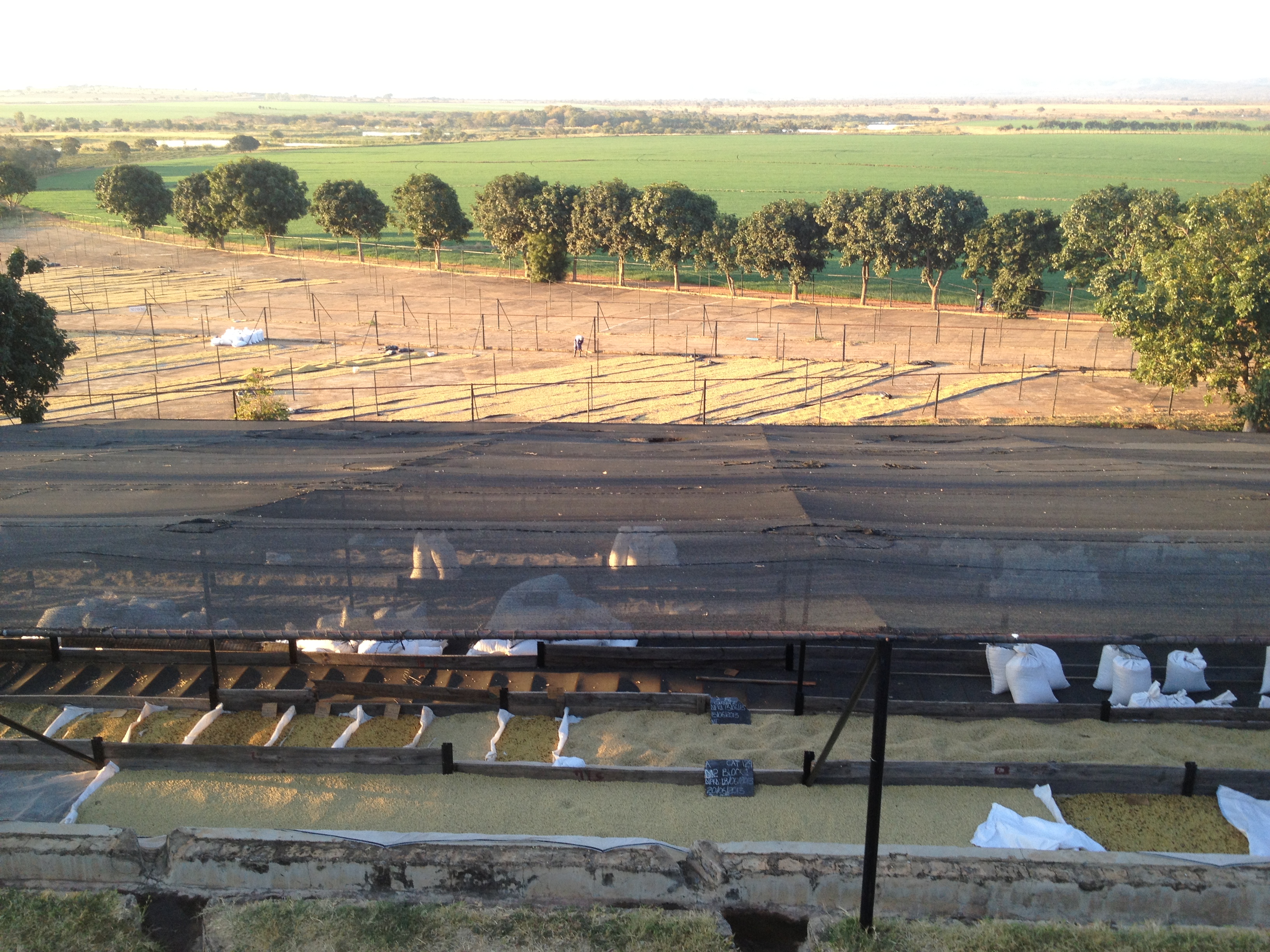
pulpery overlook 1
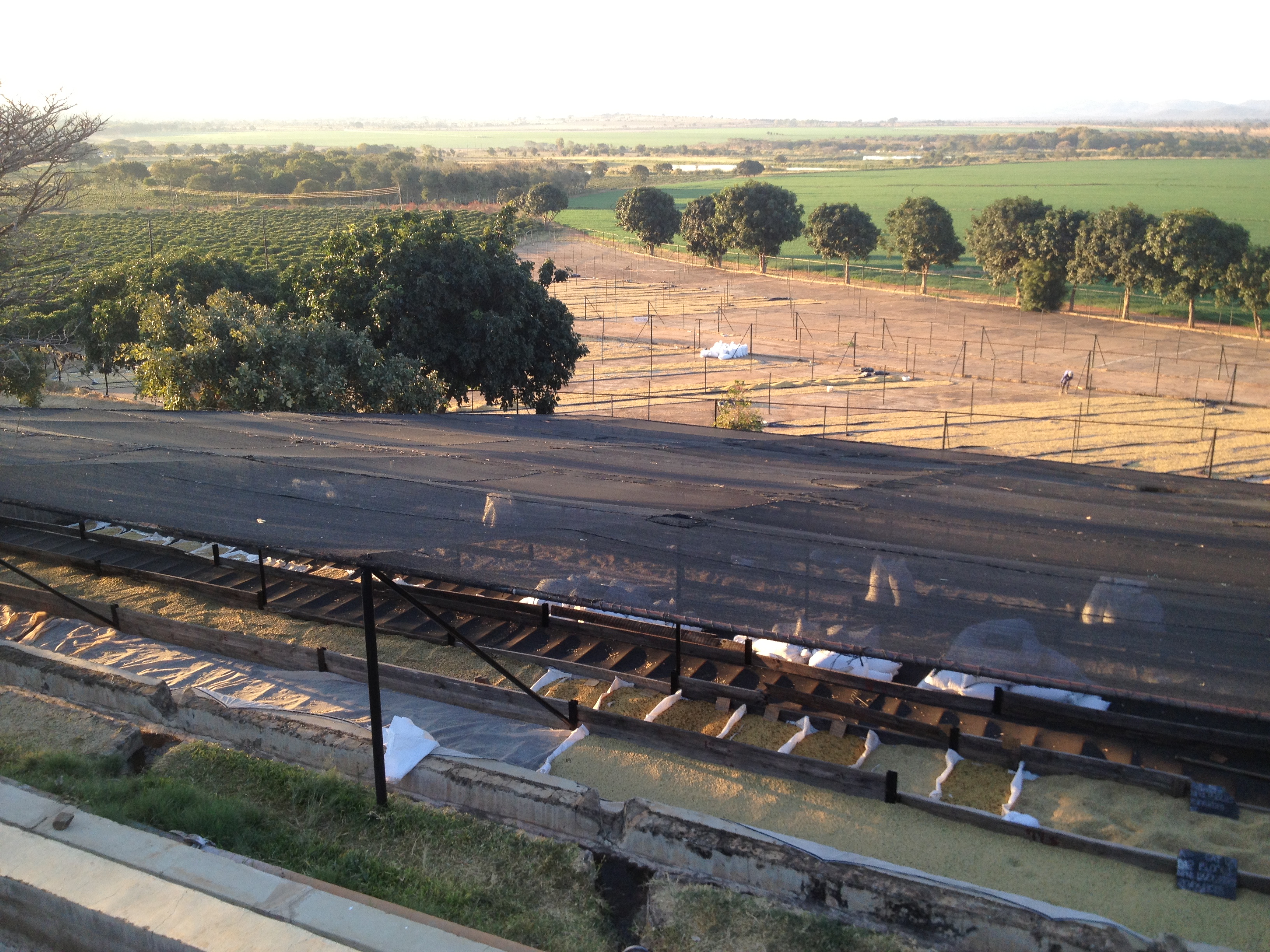
pulpery overlook 2
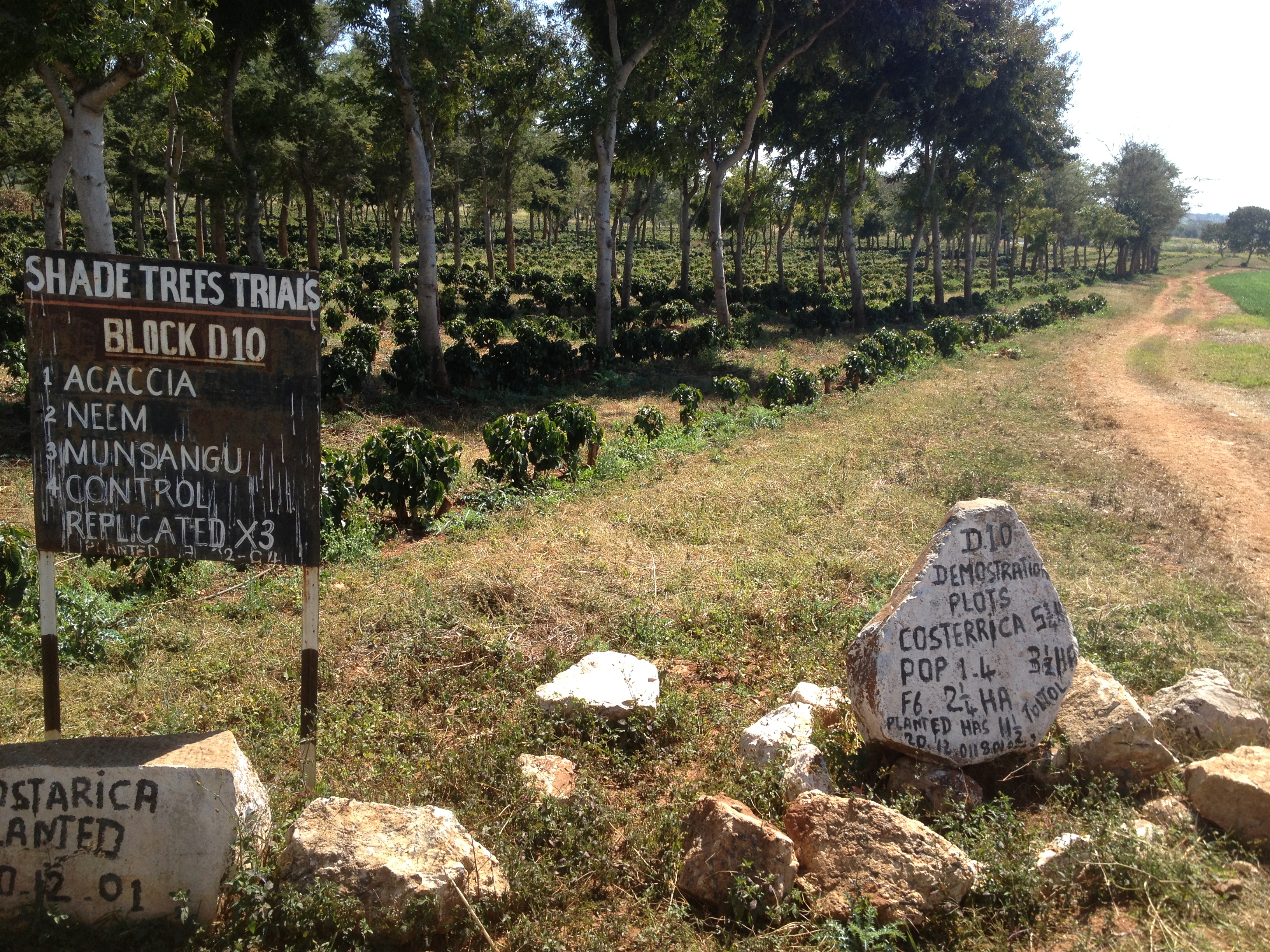
shade tree trials
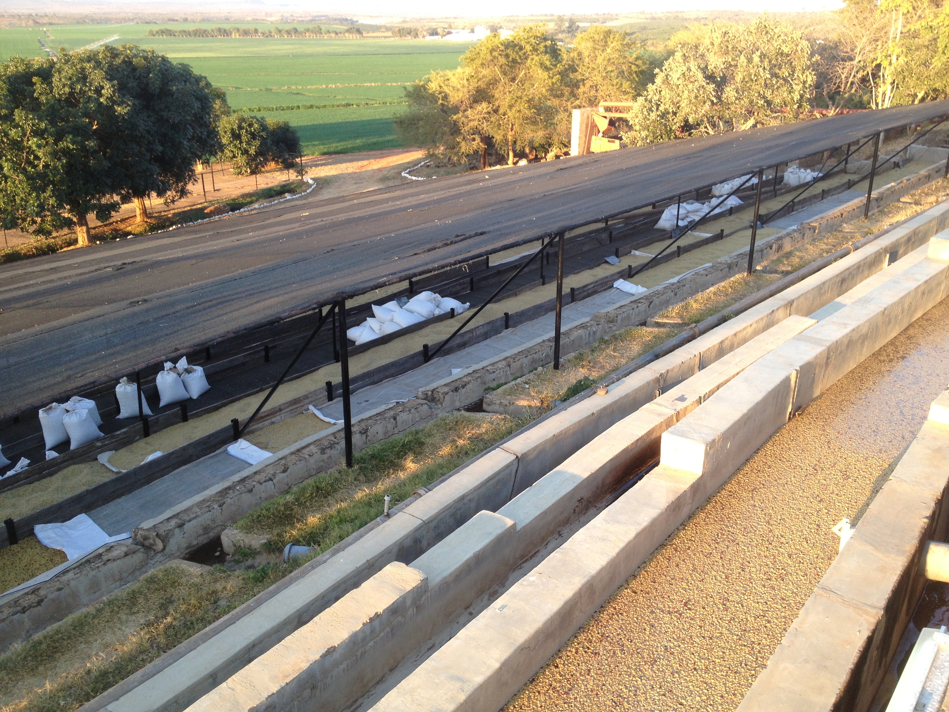
channels and tables

ladder picking
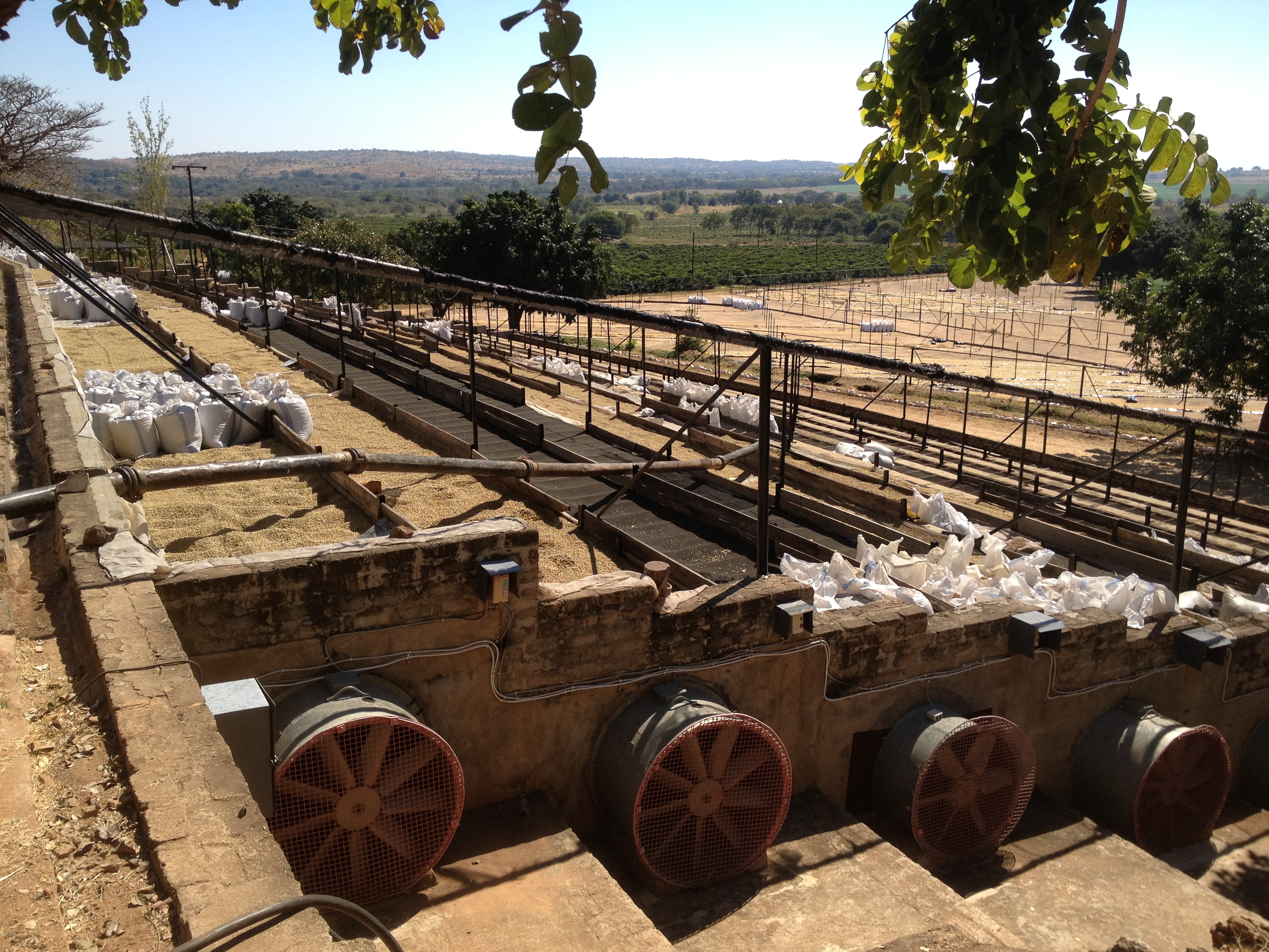
fans under drying tables
Topographic Map of Mazabuka, Zambia
Find elevation by address:

Places in Mazabuka, Zambia:
Places near Mazabuka, Zambia:
Recent Searches:
- Elevation of Cavendish Rd, Harringay Ladder, London N4 1RR, UK
- Elevation of 1 Zion Park Blvd, Springdale, UT, USA
- Elevation of Ganderbal
- Elevation map of Konkan Division, Maharashtra, India
- Elevation of Netaji Nagar, Hallow Pul, Kurla, Mumbai, Maharashtra, India
- Elevation of Uralsk, Kazakhstan
- Elevation of 45- Kahana Dr, Honokaa, HI, USA
- Elevation of New Mexico 30, NM-30, Española, NM, USA
- Elevation of Santmyer Way, Charles Town, WV, USA
- Elevation of Riserva Naturale Lago di Montepulciano, Italy