Elevation of Mayfield Road, Mayfield Rd, New South Wales, Australia
Location: Australia > New South Wales > Oberon Council > Mayfield >
Longitude: 149.782546
Latitude: -33.670466
Elevation: -10000m / -32808feet
Barometric Pressure: 295KPa
Elevation Map:
Satellite Map:
Related Photos:

Chrysomelid beetle, nobilitata group (formerly genus; chrysophtharta)

Art Deco in Oberon

Burials with a view

Tarana to Brewongle

Mayfield Garden

A Day on the Farm

IMG_6438.jpg

Autumn in Oberon

Hedge - Oberon, NSW
The Reef Reserve

IMG_6437.jpg

Faugha Bellaugha Rd Oberon

_DSC3949.jpg
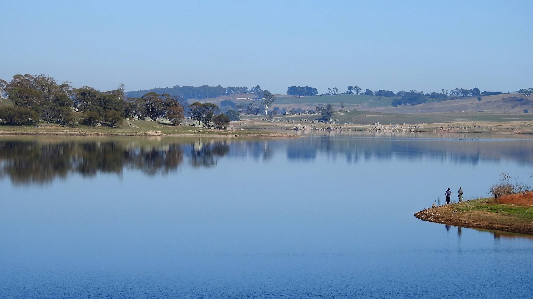
Oberon Dam or Fish River Dam, Oberon, NSW

AHD 1062.568m
Cold morning near Rockley

Oberon Stockyards

A Perfect day
Perfect Day
Still water

The Reef Reserve

Gairlock Garden

The gathering

Gairlock Garden

In search of hidden rocks
Topographic Map of Mayfield Road, Mayfield Rd, New South Wales, Australia
Find elevation by address:

Places near Mayfield Road, Mayfield Rd, New South Wales, Australia:
Mayfield
1839 O'connell Rd
254 Soldiers Hill Rd
1 Sloggetts Rd
63 Sloggetts Rd
71 Sloggetts Rd
Wisemans Creek
Oberon
Lone Pine
1193 Carlwood Rd
Carlwood Road
O'connell
Eaton Lane
Locksley
Fish River Valley Brewing
935 Duckmaloi Rd
Duckmaloi
Karawina
Brookland Park
Yetholme
Recent Searches:
- Elevation of Côte-des-Neiges, Montreal, QC H4A 3J6, Canada
- Elevation of Bobcat Dr, Helena, MT, USA
- Elevation of Zu den Ihlowbergen, Althüttendorf, Germany
- Elevation of Badaber, Peshawar, Khyber Pakhtunkhwa, Pakistan
- Elevation of SE Heron Loop, Lincoln City, OR, USA
- Elevation of Slanický ostrov, 01 Námestovo, Slovakia
- Elevation of Spaceport America, Co Rd A, Truth or Consequences, NM, USA
- Elevation of Warwick, RI, USA
- Elevation of Fern Rd, Whitmore, CA, USA
- Elevation of 62 Abbey St, Marshfield, MA, USA