Elevation of Mayantoc, Tarlac, Philippines
Location: Philippines > Central Luzon > Tarlac >
Longitude: 120.320487
Latitude: 15.5632012
Elevation: 418m / 1371feet
Barometric Pressure: 96KPa
Elevation Map:
Satellite Map:
Related Photos:
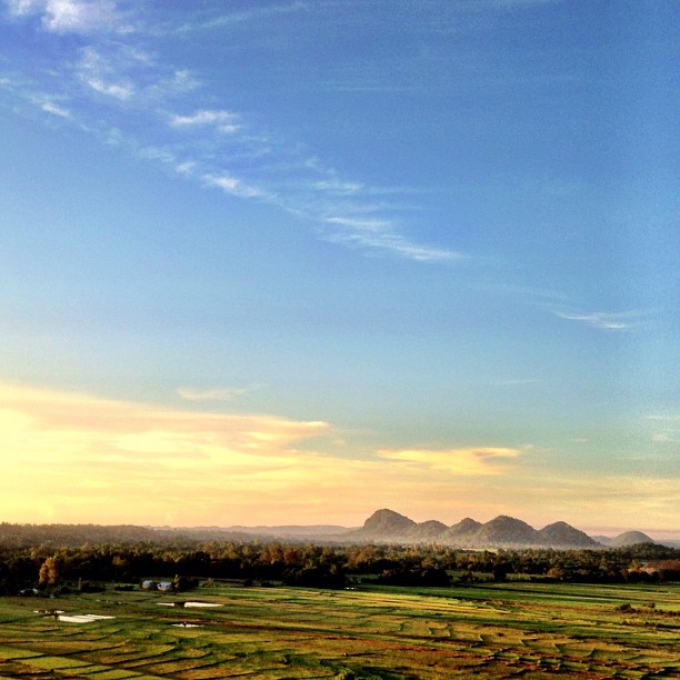
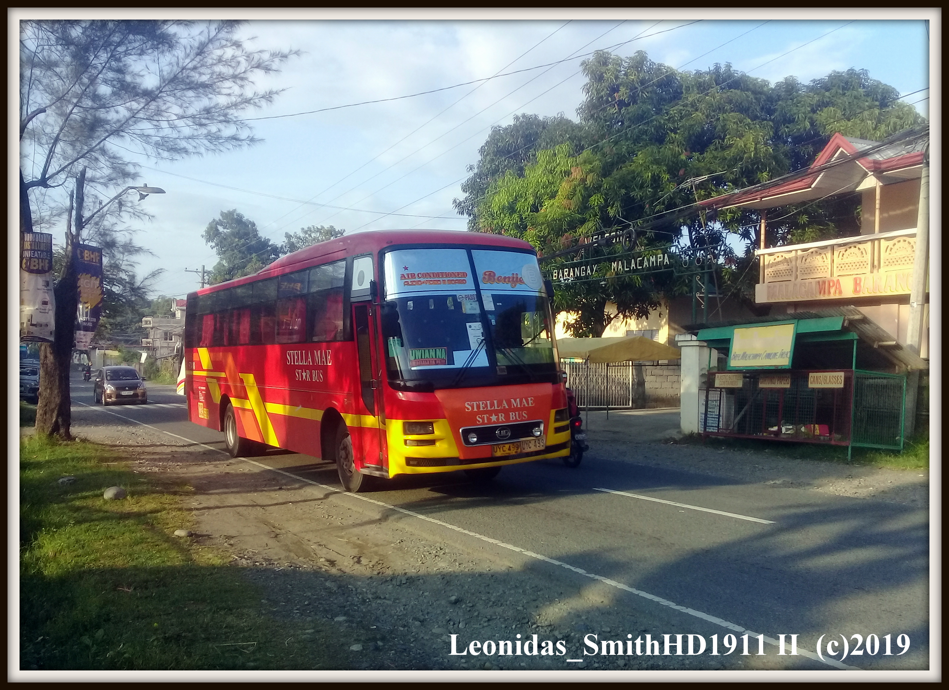
SAN JOSE, TARLAC | APR2018

Maybe I'll Eat Rice Tonight
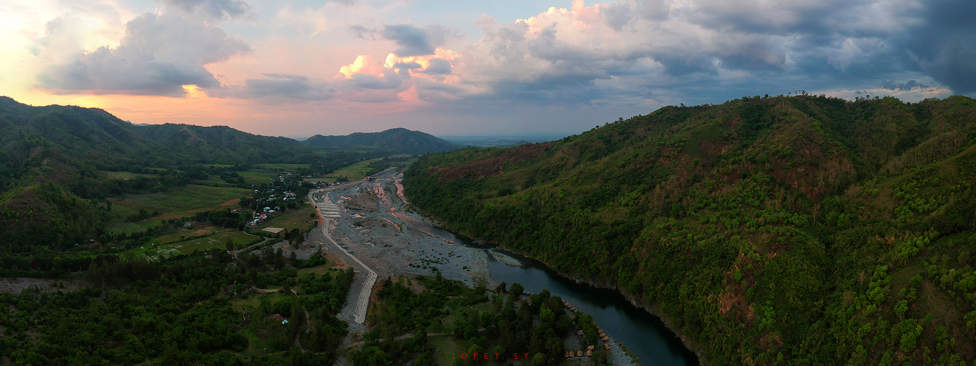
Ocular with @moncorpuz @kuletski. Sunrise shoot at Carabaoan, Mayantoc #Tarlac.

Two of the finest photogs in the Philippines gazing the great Mayantoc sunrise scene
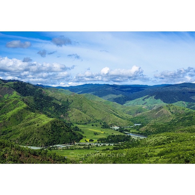
Mayantoc's beautiful landscape. Hometown of my good friend @moncorpuz. Thank you for bringing us there! Almost 2 years narin pala ito! #archive #m43 #olympus #epl6 © @tekgik #imagesmithPH

70th Universe....

Fairview of Province....
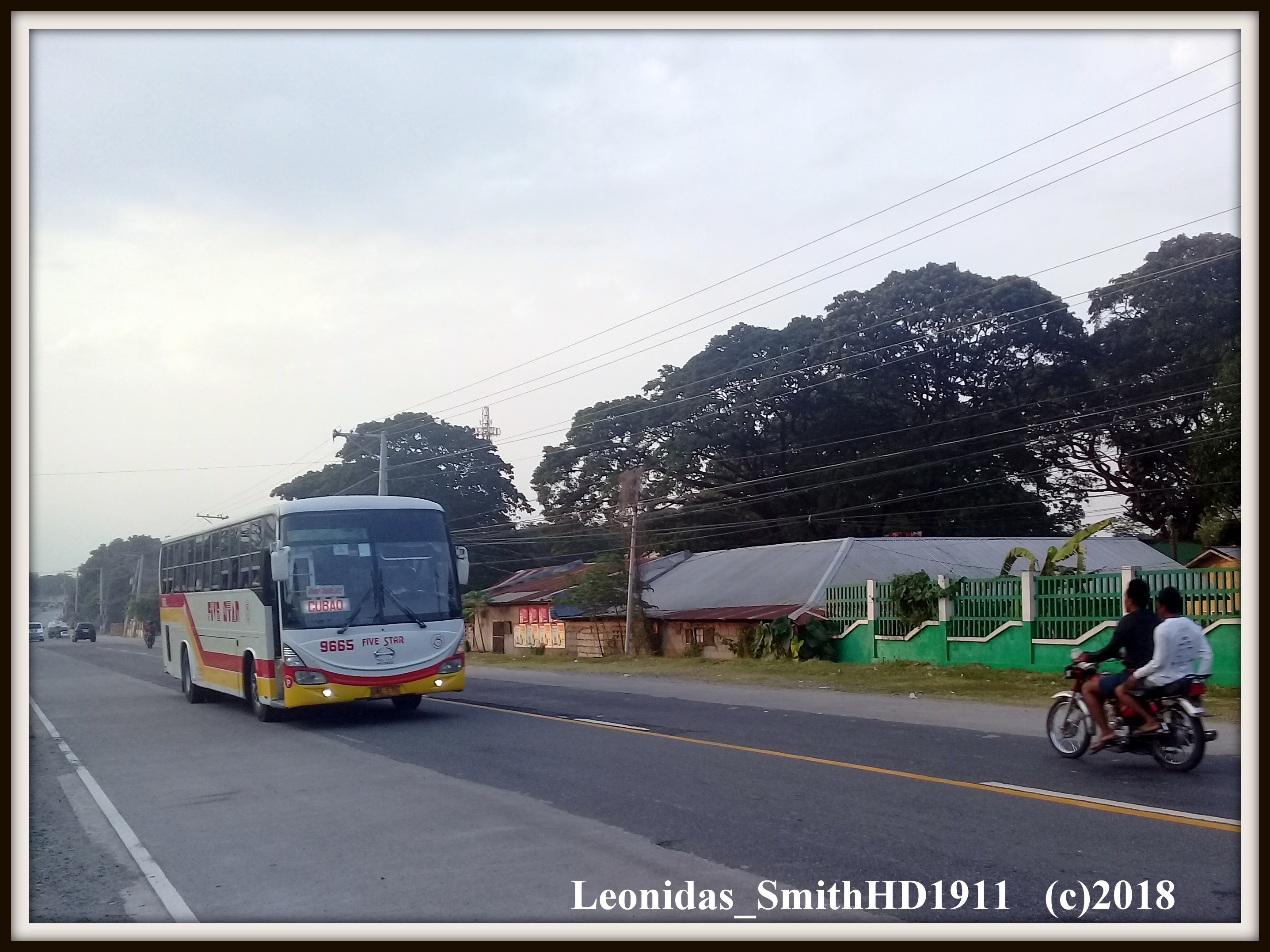
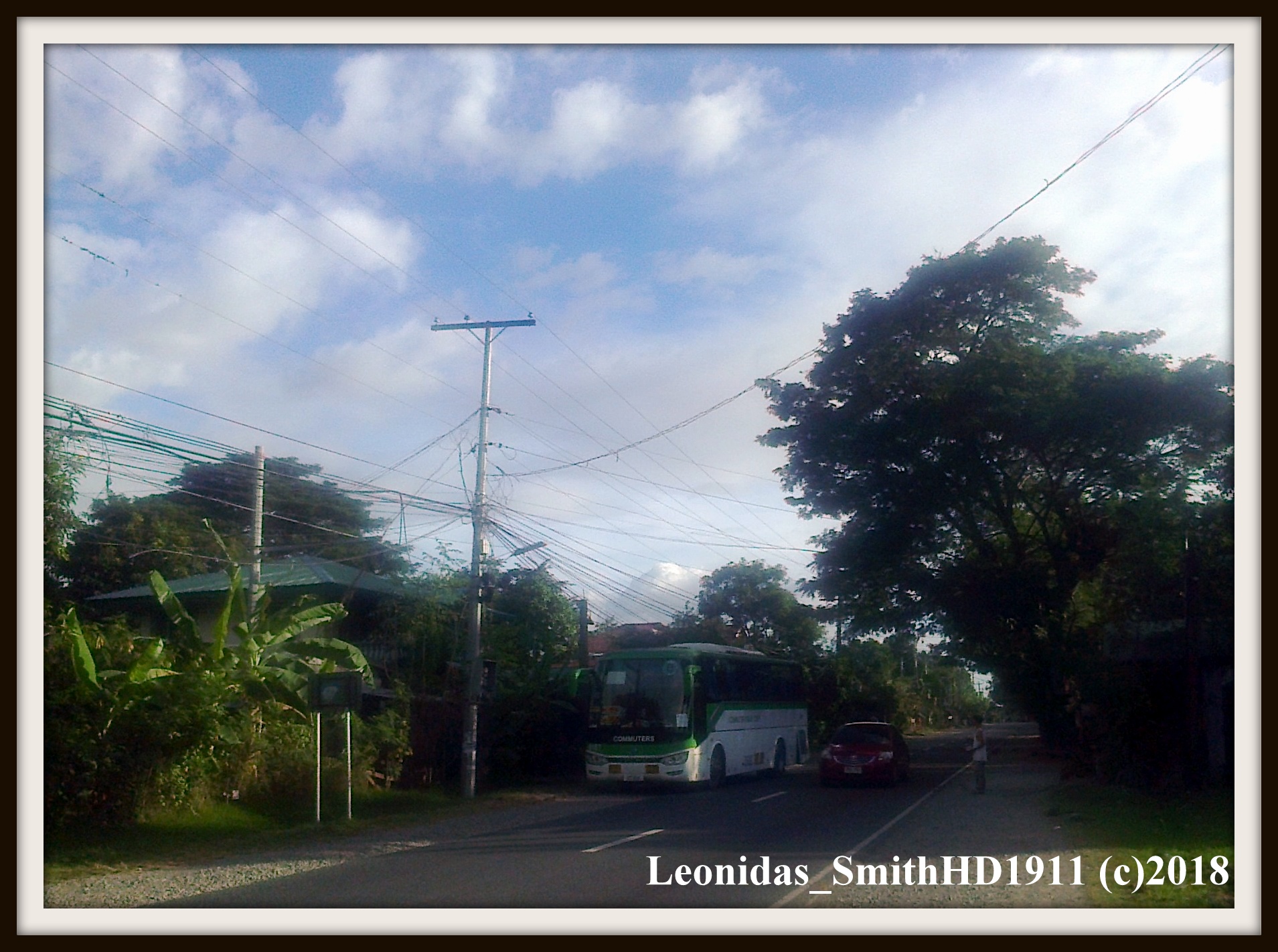
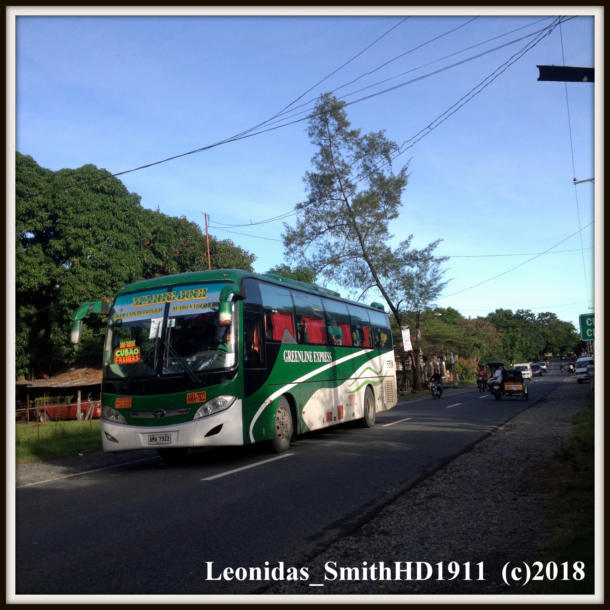
speeding Granbird....

In exchange of RB46S
Gutierrez's PKB....

Central City V90

changed fleet number....
just from gateway...
easy breezy ride....

Loading time....
Cityliner at dusk....
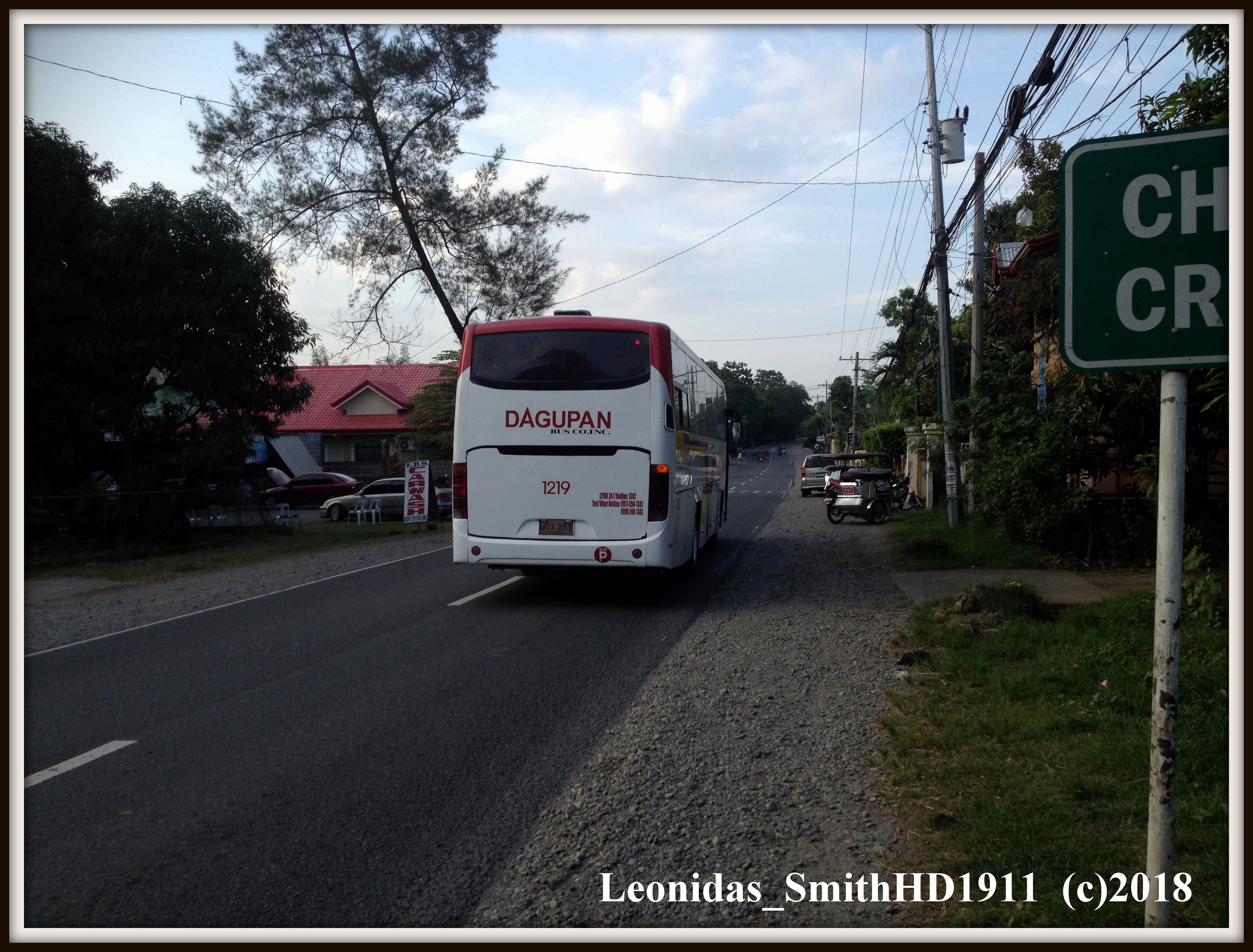
afternoon ordinary...
as full as it is...

Coastal City Premium
Bolinao's HD...

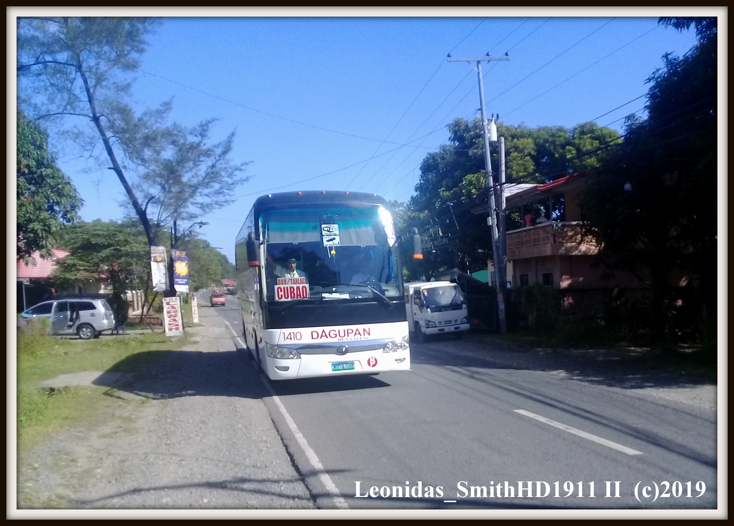
typical Tuesday ride....

now in Chinese Engine...
from 2 to single windshield type....
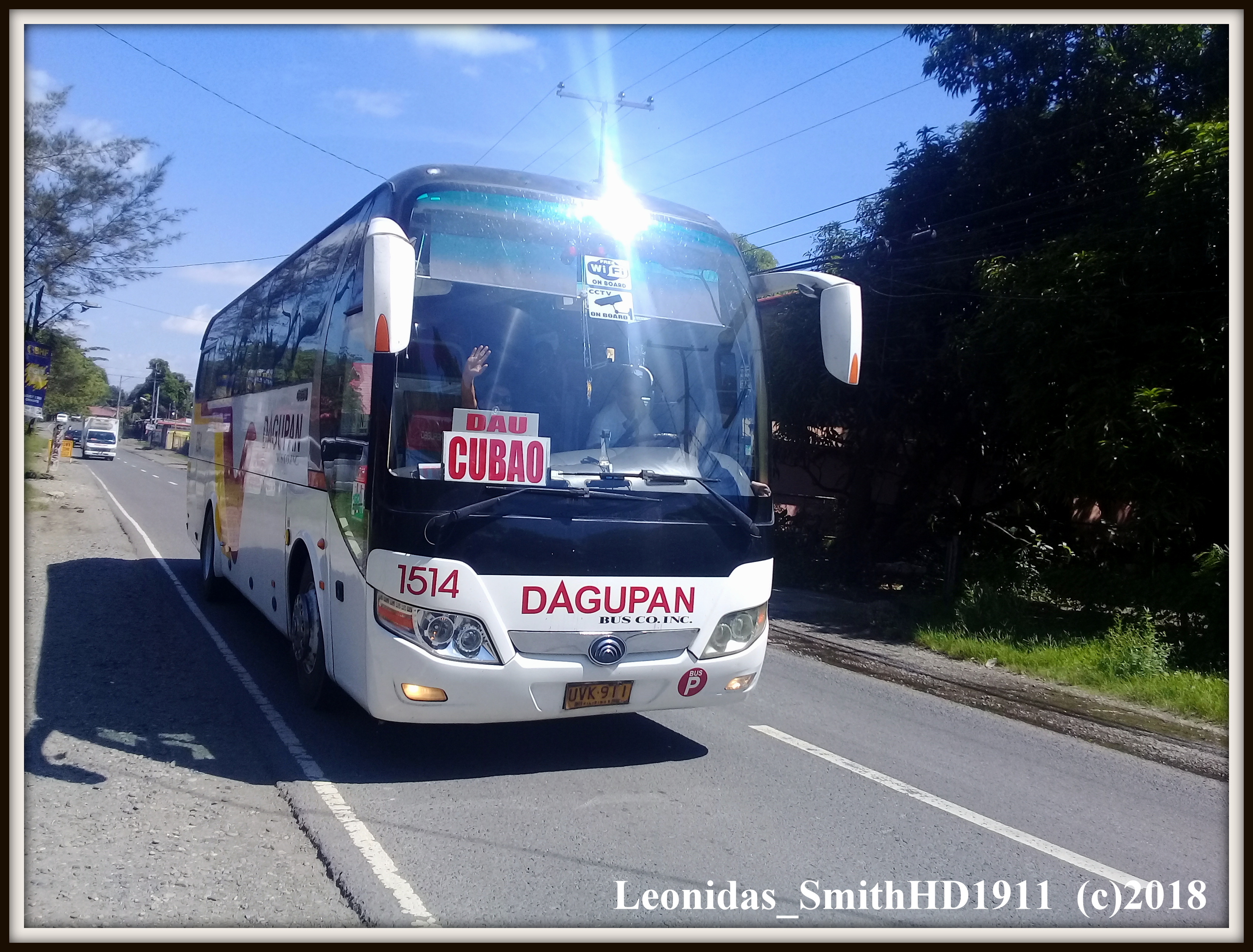
unexpected stop...
Gutierrez's Guilin....
Topographic Map of Mayantoc, Tarlac, Philippines
Find elevation by address:

Places near Mayantoc, Tarlac, Philippines:
Burgos
Don Mauricio Subdivision
Santa Ignacia
Nambalan
Camiling
Tarlac Recreational Park
Mangatarem
Sinigpit
High Peak
Mount Tapulao
Pangolingan
Pugo
Dapdap
Uptown Village
Bayambang
Romulo Boulevard
Paniqui
Bamban
Zone I
Royal Mall Bayambang
Recent Searches:
- Elevation of Hercules Dr, Colorado Springs, CO, USA
- Elevation of Szlak pieszy czarny, Poland
- Elevation of Griffing Blvd, Biscayne Park, FL, USA
- Elevation of Kreuzburger Weg 13, Düsseldorf, Germany
- Elevation of Gateway Blvd SE, Canton, OH, USA
- Elevation of East W.T. Harris Boulevard, E W.T. Harris Blvd, Charlotte, NC, USA
- Elevation of West Sugar Creek, Charlotte, NC, USA
- Elevation of Wayland, NY, USA
- Elevation of Steadfast Ct, Daphne, AL, USA
- Elevation of Lagasgasan, X+CQH, Tiaong, Quezon, Philippines