Elevation map of Maxwell S4, Yukon, Unorganized, YT Y0B, Canada
Location: Canada > Yukon Territory > Yukon > Destruction Bay >
Longitude: -138.70111
Latitude: 60.6830555
Elevation: 2774m / 9101feet
Barometric Pressure: 72KPa
Elevation Map:
Satellite Map:
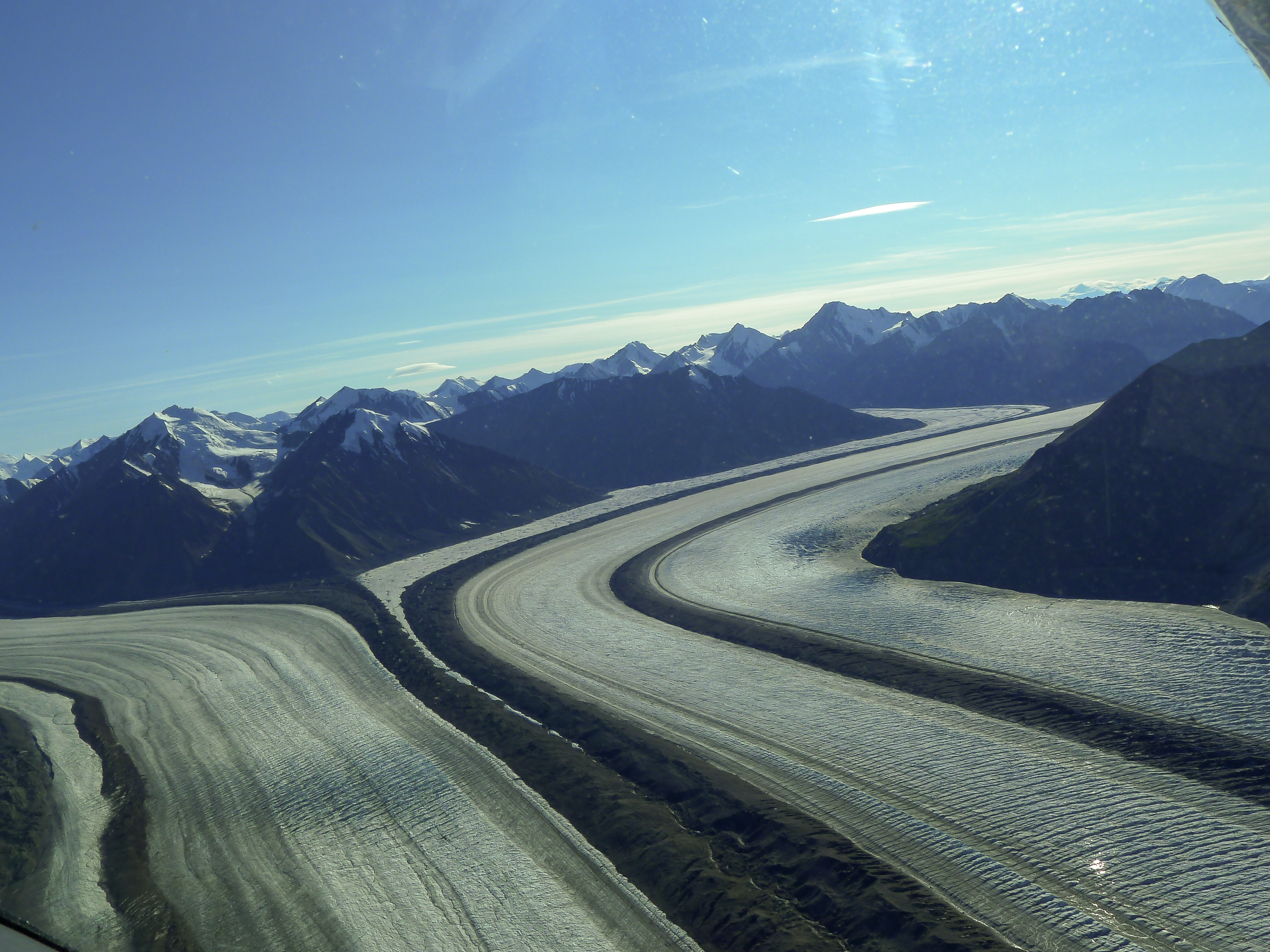
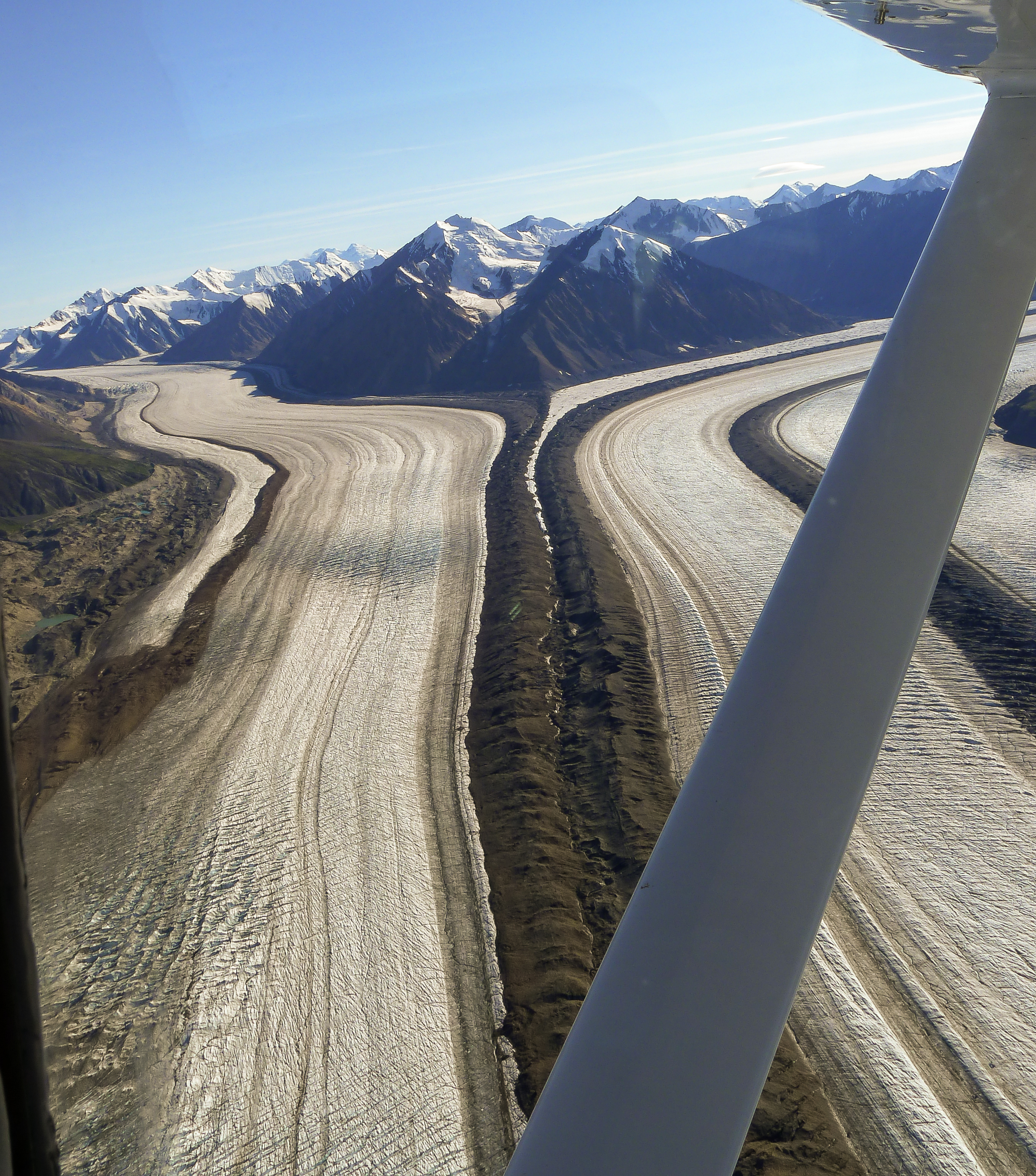
Related Photos:
P1000612.jpg
P1000614.jpg
P1000602.jpg
P1000601.jpg
P1000599.jpg
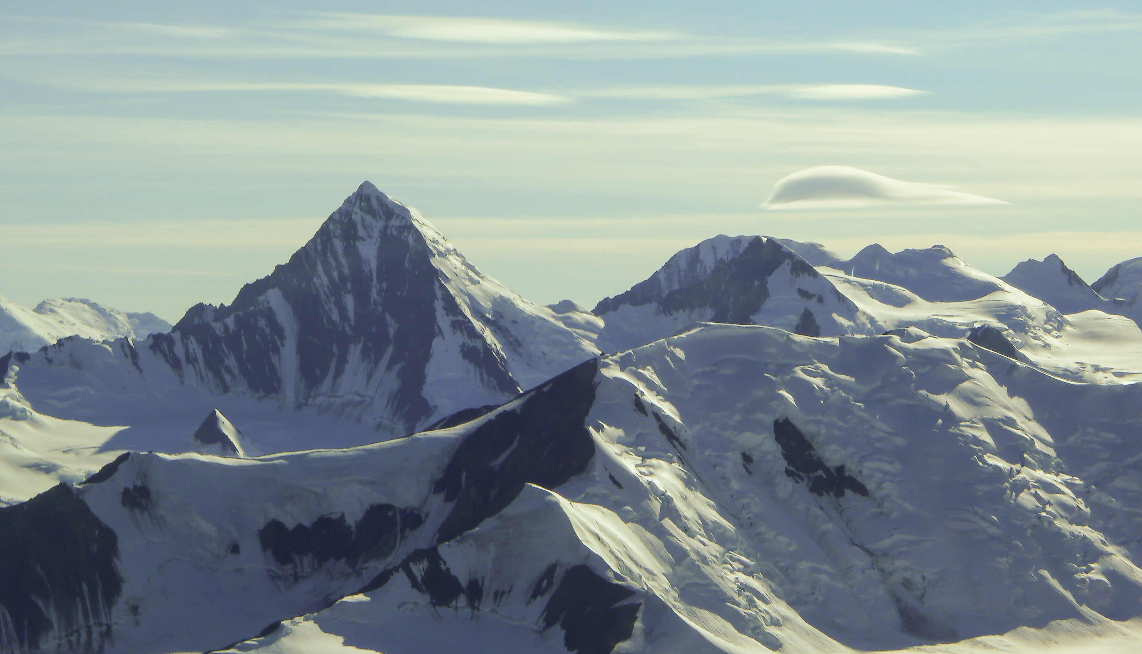
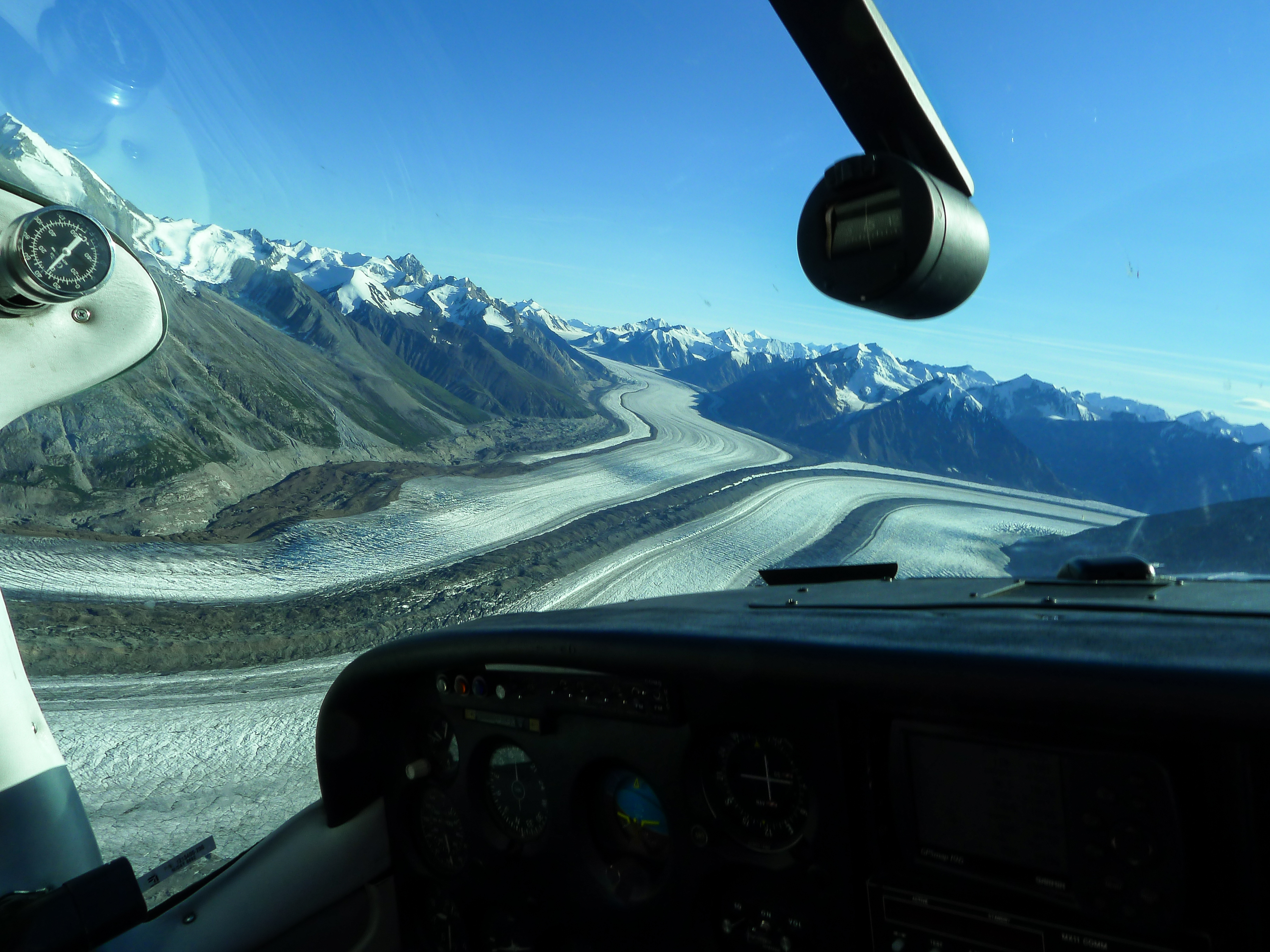
Kluane Nationalpark
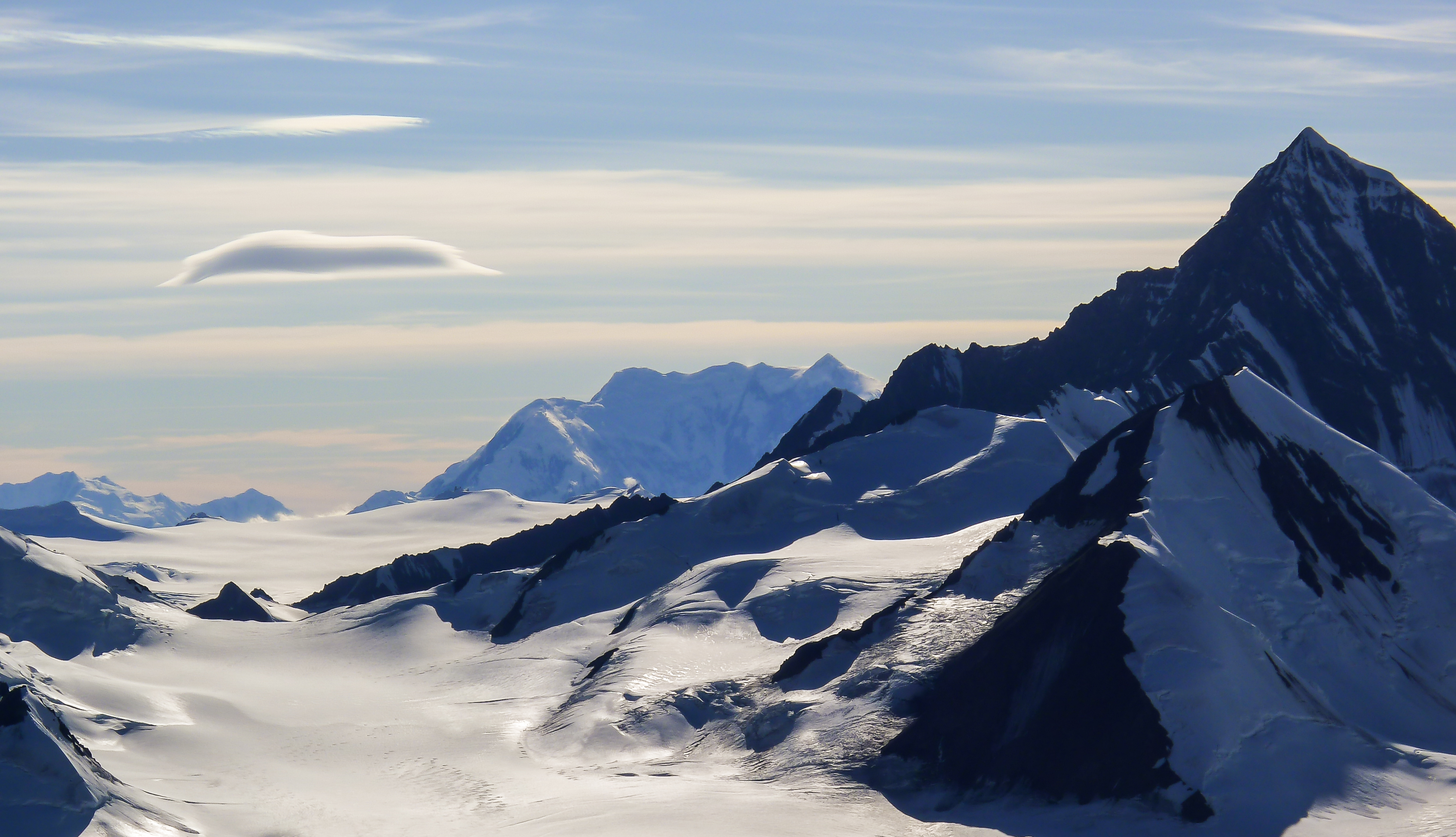
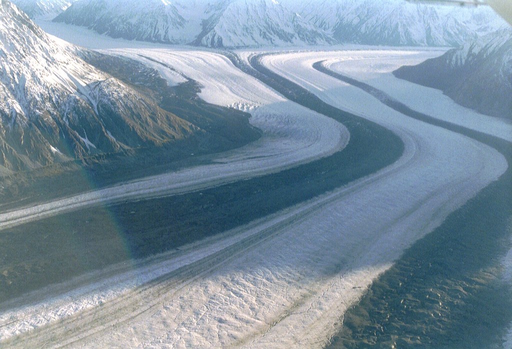
Kluane Nationalpark
Topographic Map of Maxwell S4, Yukon, Unorganized, YT Y0B, Canada
Find elevation by address:

Places near Maxwell S4, Yukon, Unorganized, YT Y0B, Canada:
Mount Maxwell
Mount Leacock
Observation Mountain
Disappointment Peak
Kaskawulsh Mountain
Columbia Peak
Atrypa Peak
Mount Bartlett
Stairway N4
Staiway Peak
Sheep Mountain
Pinnacle Nw5
Mount Wilson
Payer Ne2
Bighorn Peak
Nines Peak
Mount Payer
Kaslowhub Ne5
Mount Bellingshausen
Destruction Bay
Recent Searches:
- Elevation of Corso Fratelli Cairoli, 35, Macerata MC, Italy
- Elevation of Tallevast Rd, Sarasota, FL, USA
- Elevation of 4th St E, Sonoma, CA, USA
- Elevation of Black Hollow Rd, Pennsdale, PA, USA
- Elevation of Oakland Ave, Williamsport, PA, USA
- Elevation of Pedrógão Grande, Portugal
- Elevation of Klee Dr, Martinsburg, WV, USA
- Elevation of Via Roma, Pieranica CR, Italy
- Elevation of Tavkvetili Mountain, Georgia
- Elevation of Hartfords Bluff Cir, Mt Pleasant, SC, USA