Elevation of Maxville, Jacksonville, FL, USA
Location: United States > Florida > Duval County > Jacksonville >
Longitude: -82.009124
Latitude: 30.1988511
Elevation: 28m / 92feet
Barometric Pressure: 101KPa
Elevation Map:
Satellite Map:
Related Photos:
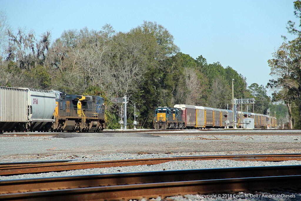
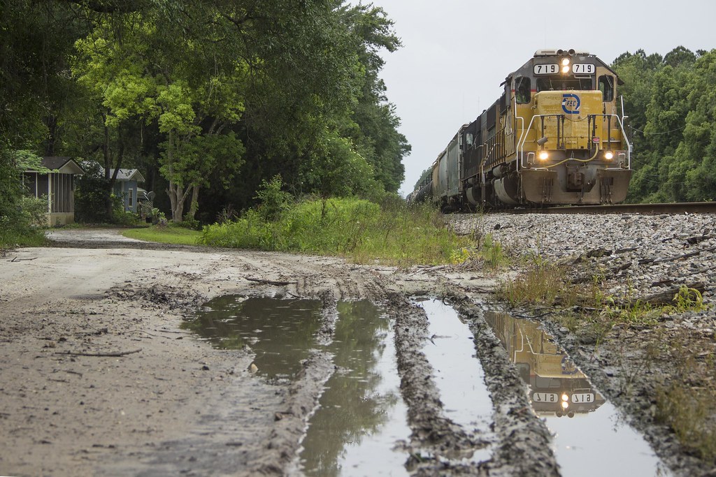
Train meet in Baldwin, FL
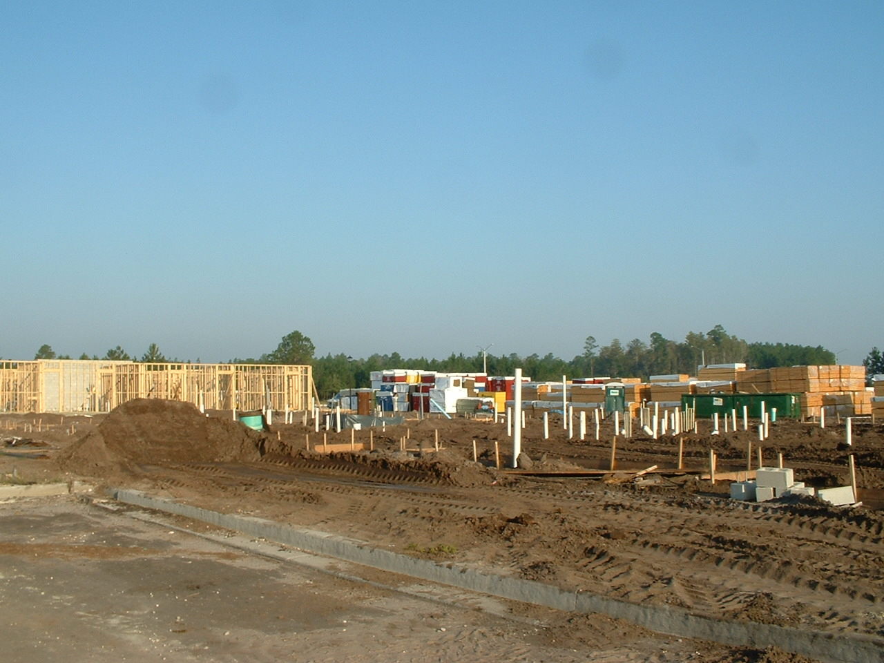
Building 1, from the sales trailer

View from a horse

Forsyth Park, Savannah, Georgia #forsythpark #park #savannahgeorgia #georgia #visitsavannah #chathamcountyga #exploregeorgia #thesouthernfront #thegreatercollective #theamericancollective #landscape #landmark #touristattraction #city #view #scene #scenery

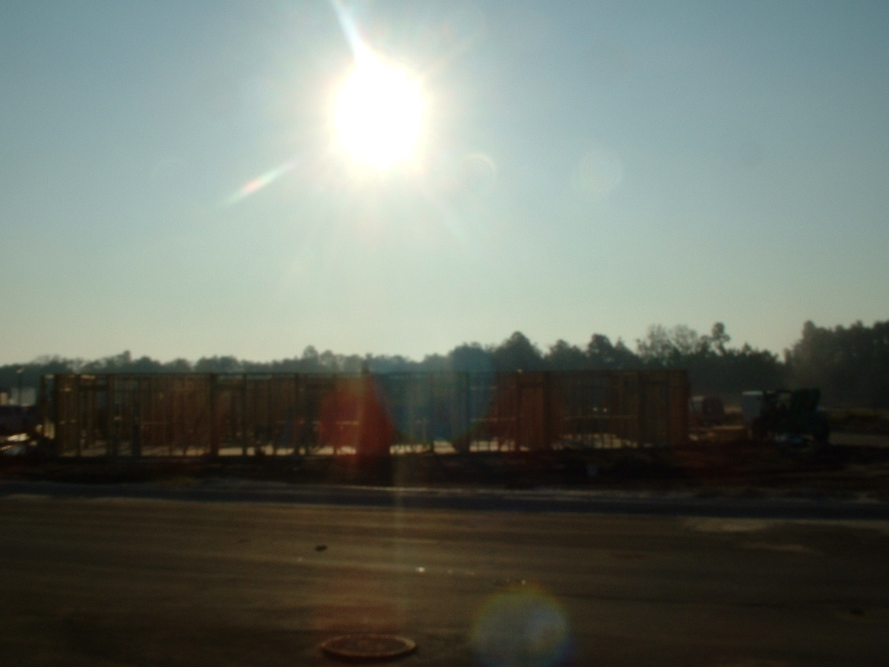
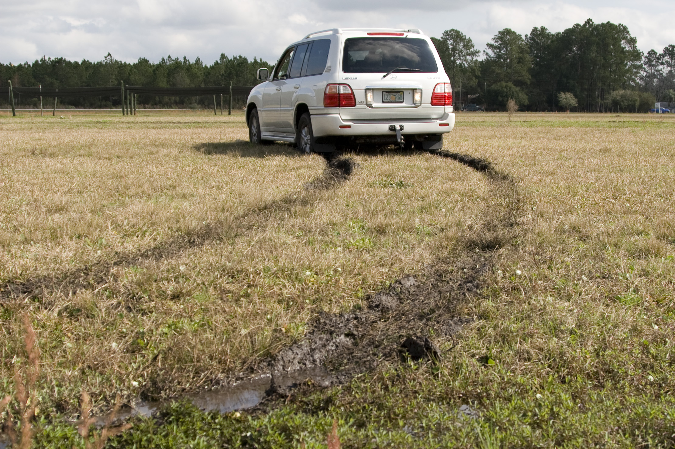
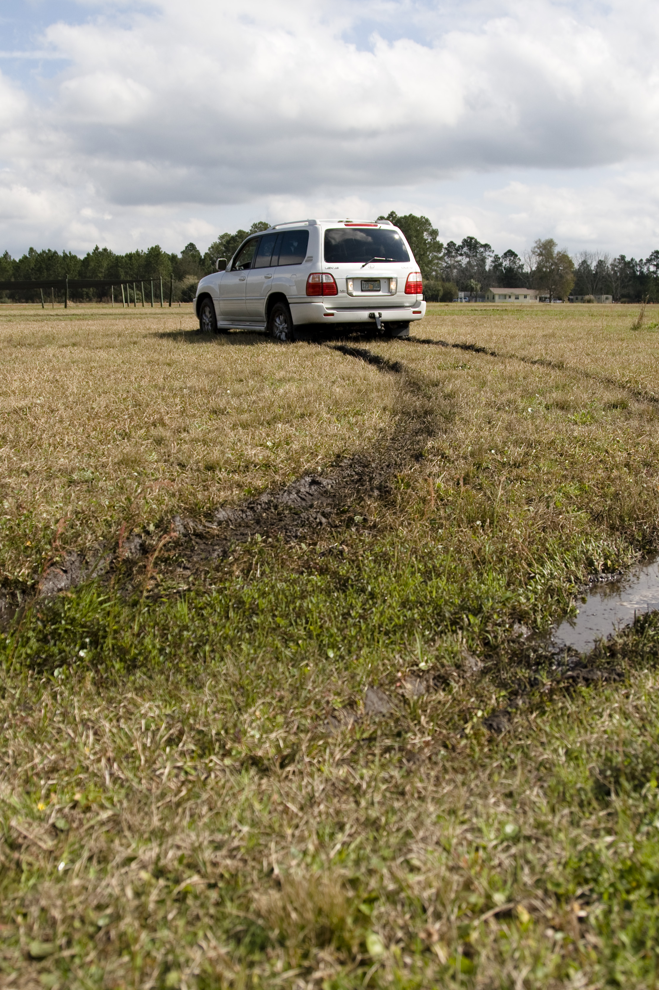
On the road again...
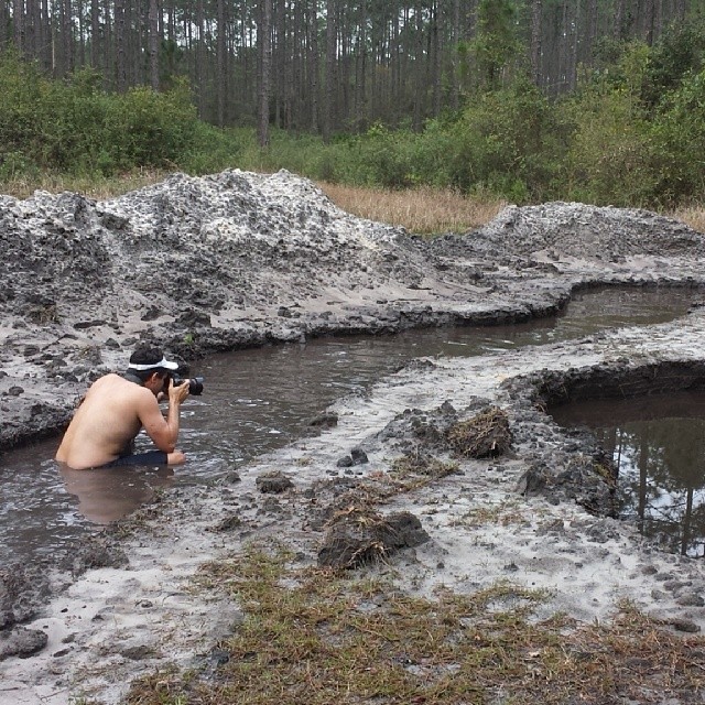
#Shooting #muckfest #2014 #Florida
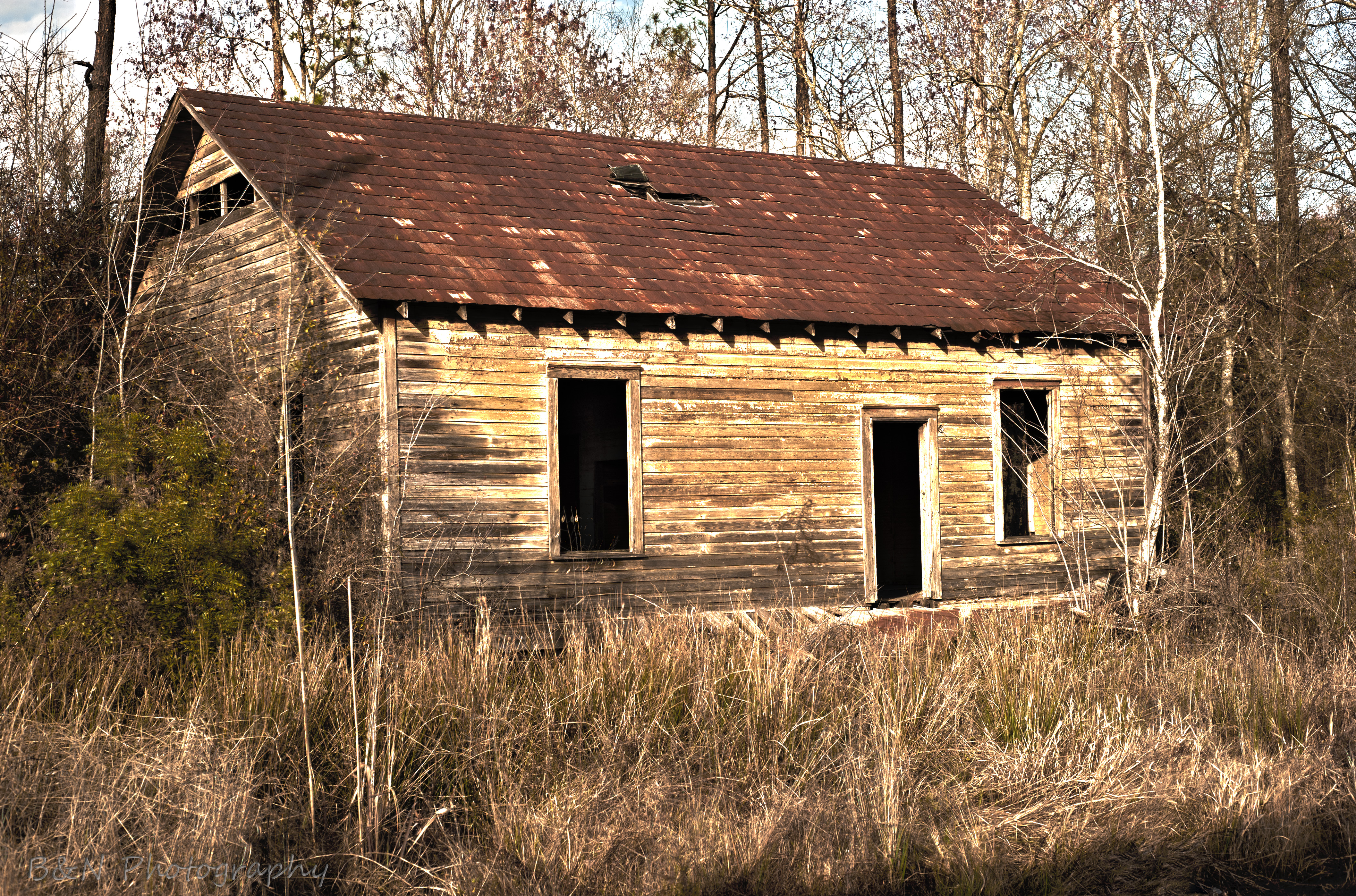
Abandoned House
Building 2 with Building 1 behind
mayhem-1.jpg
mayhem-2.jpg
Worn and Torn
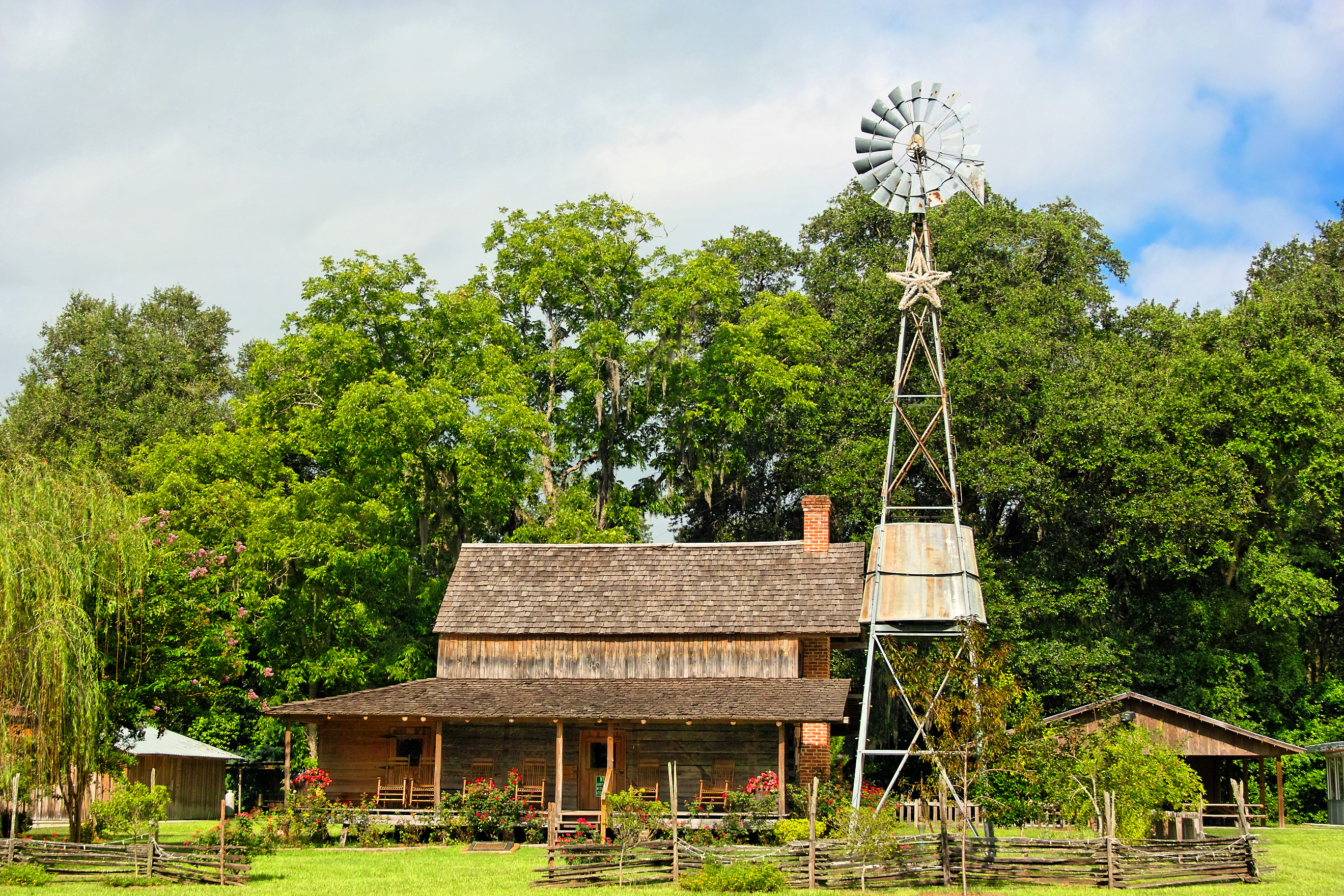
Burnsed Bunkhouse
mayhem-78.jpg

Jim Dandy
Topographic Map of Maxville, Jacksonville, FL, USA
Find elevation by address:

Places near Maxville, Jacksonville, FL, USA:
Maxville Blvd, Jacksonville, FL, USA
6238 Polka Rd
US-, Jacksonville, FL, USA
6264 Flag Run Dr
6077 Little Colt Ct
Main St, Lawtey, FL, USA
5434 Muscovy Rd
Muscovy Road
2118 Mallard Rd
5145 Co Rd 218
5145 Co Rd 218
132 Melanie Ln
2187 Nw 247th St
2022 Crestview Ct
FL-, Glen St Mary, FL, USA
16851 Ne 271st Ave
Northeast 260th Loop
6742 Corban Way
6125 Northwest County Road 125
3573 Cavalry Ln
Recent Searches:
- Elevation of 62 Abbey St, Marshfield, MA, USA
- Elevation of Fernwood, Bradenton, FL, USA
- Elevation of Felindre, Swansea SA5 7LU, UK
- Elevation of Leyte Industrial Development Estate, Isabel, Leyte, Philippines
- Elevation of W Granada St, Tampa, FL, USA
- Elevation of Pykes Down, Ivybridge PL21 0BY, UK
- Elevation of Jalan Senandin, Lutong, Miri, Sarawak, Malaysia
- Elevation of Bilohirs'k
- Elevation of 30 Oak Lawn Dr, Barkhamsted, CT, USA
- Elevation of Luther Road, Luther Rd, Auburn, CA, USA