Elevation of Maury River Rd, Lexington, VA, USA
Location: United States > Virginia > Lexington >
Longitude: -79.389008
Latitude: 37.8698956
Elevation: 367m / 1204feet
Barometric Pressure: 97KPa
Elevation Map:
Satellite Map:
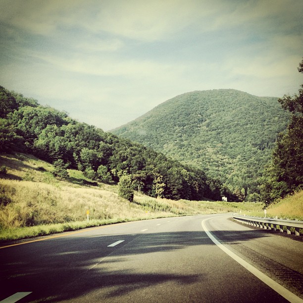
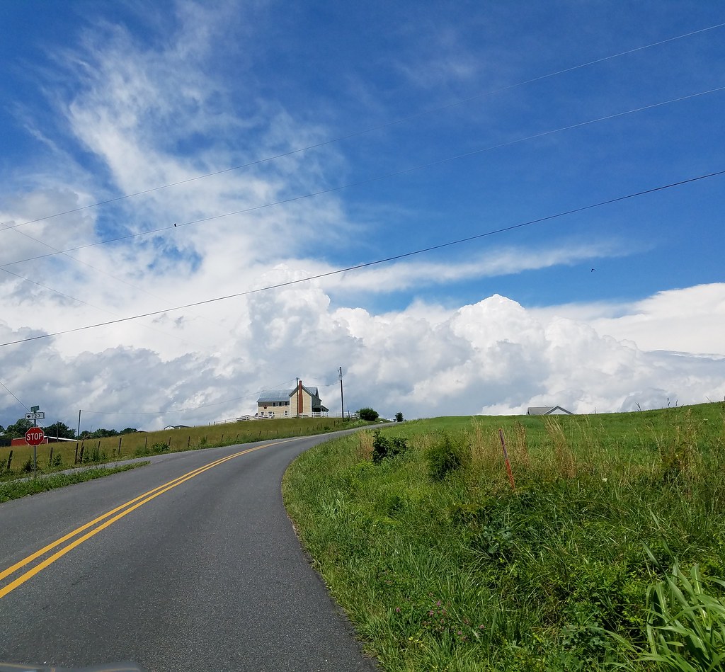
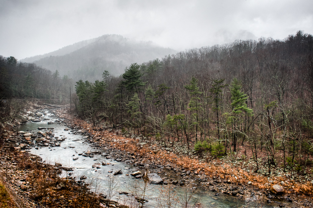
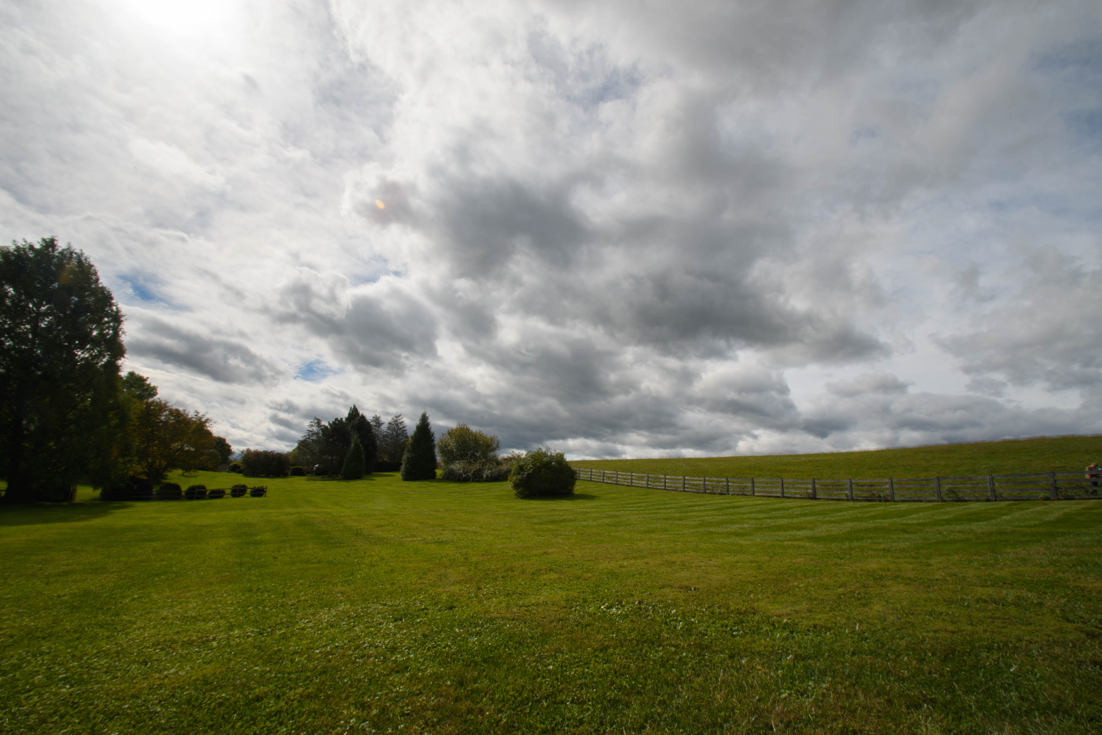
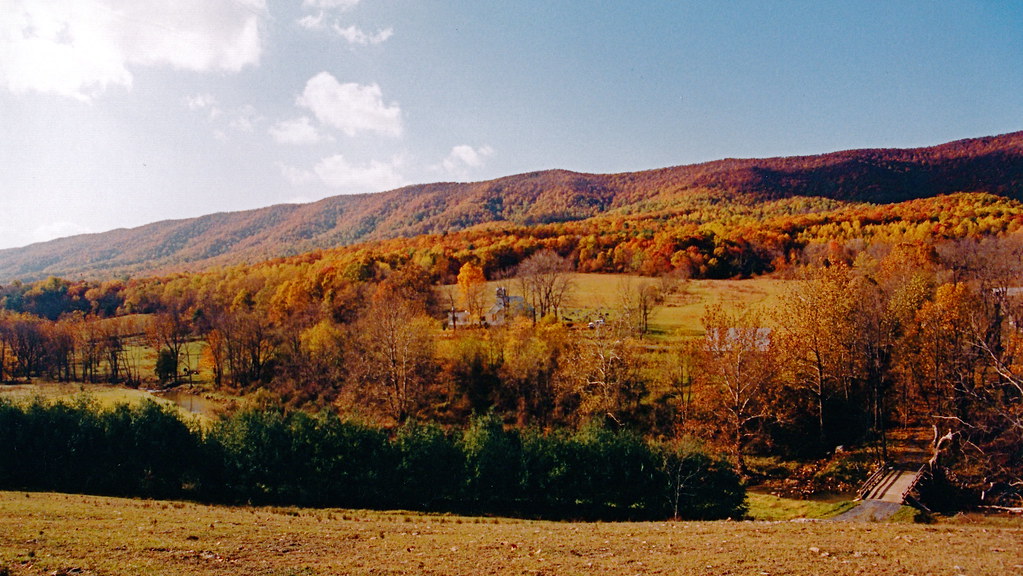
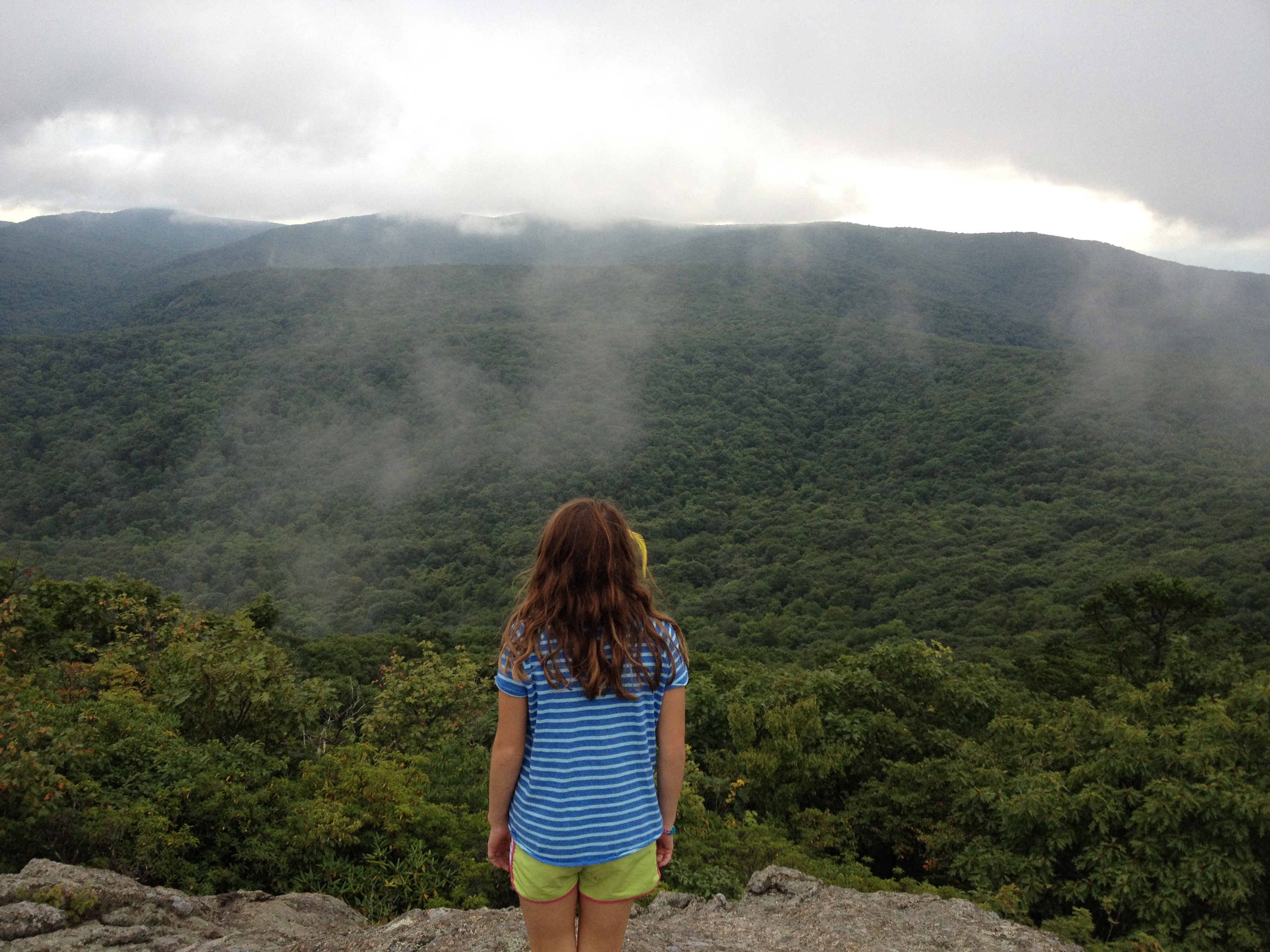
Related Photos:

General Marshall Views Drawings at the International Art Exchange, October 25, 1949
Pastures of Plenty on Old Farm Road

Middlebrook Rd X

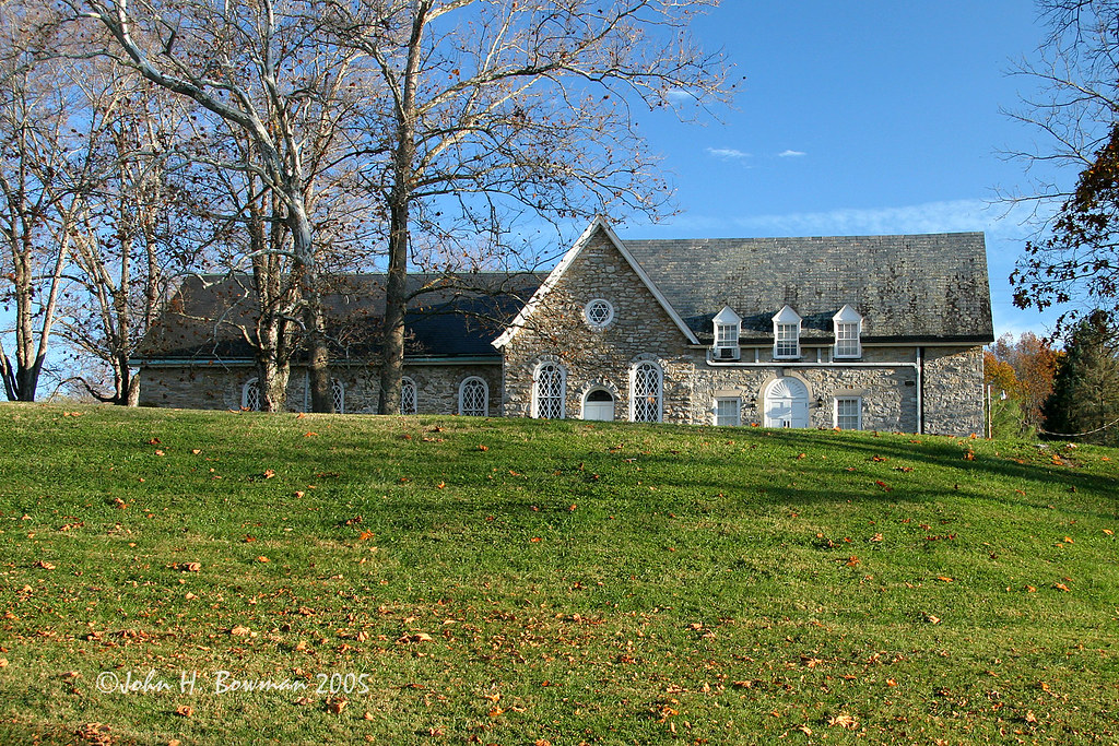
Washington and Lee University - View from Near Lee Chapel

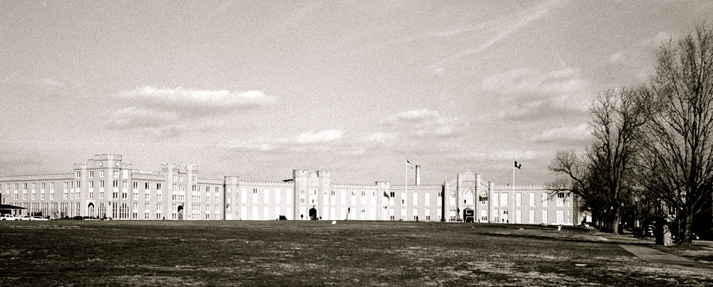
Parade Grounds at Virginia Military Institute

view of Buena Vista from Blue Ridge Parkway
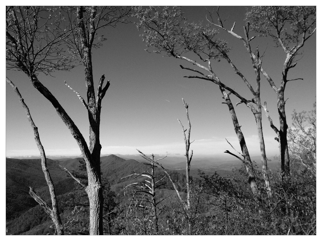
Whetstone Ridge View
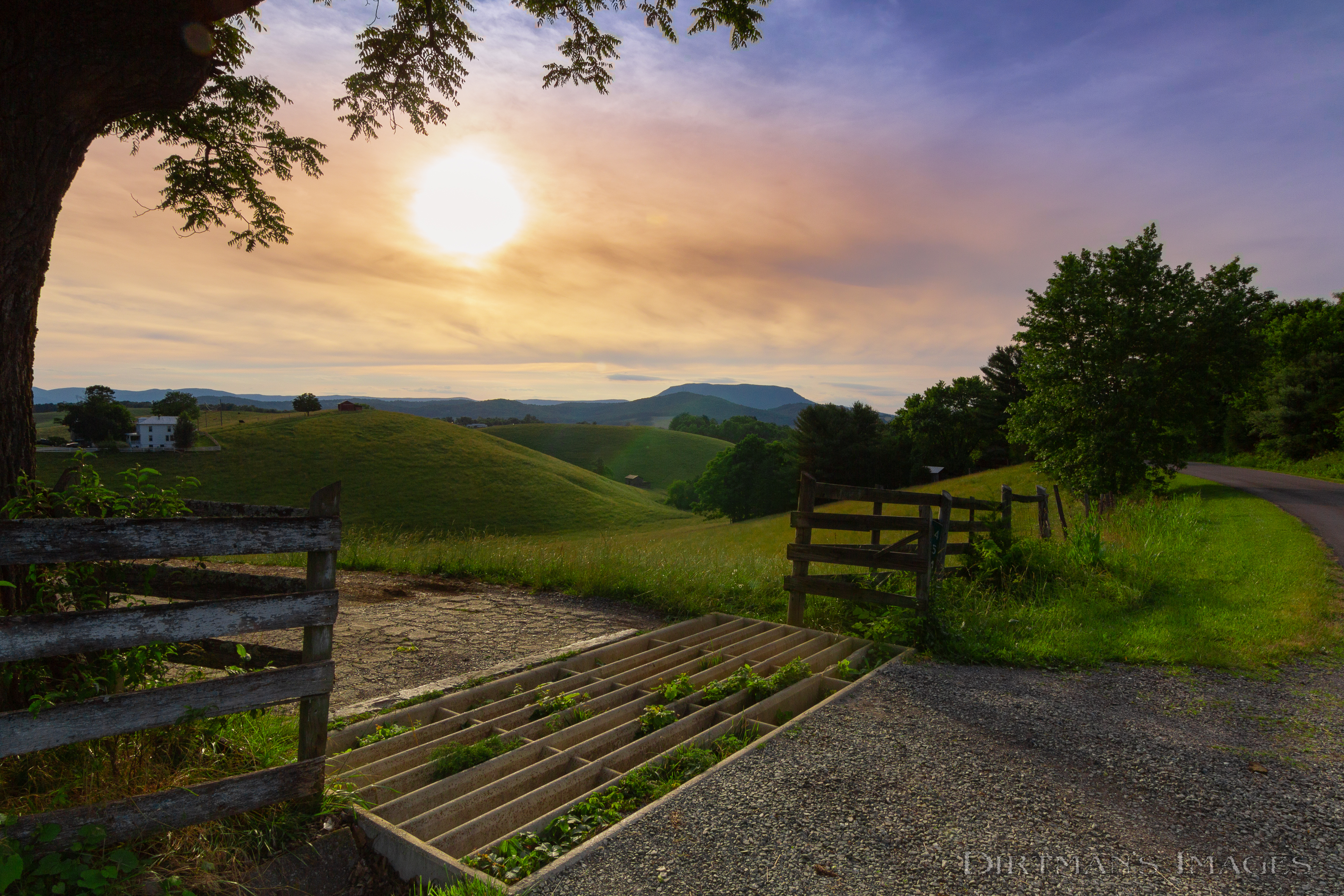
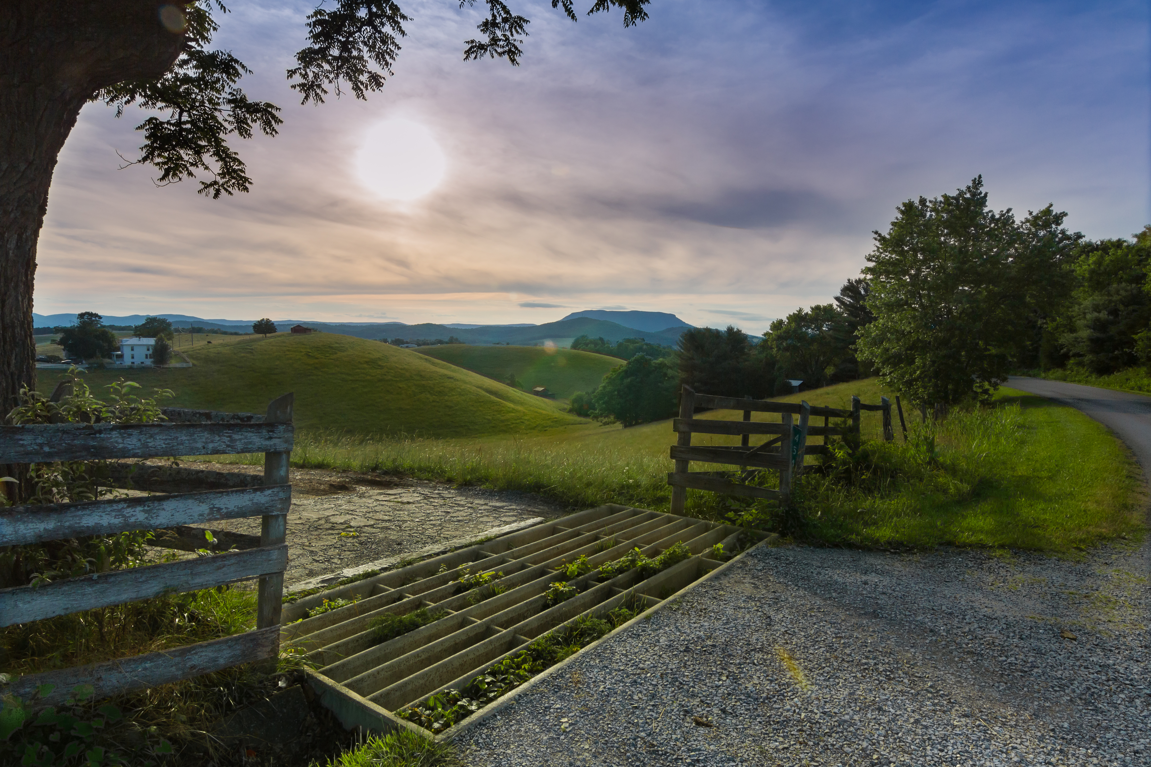
Early birds deserved that view
Old Farm Road

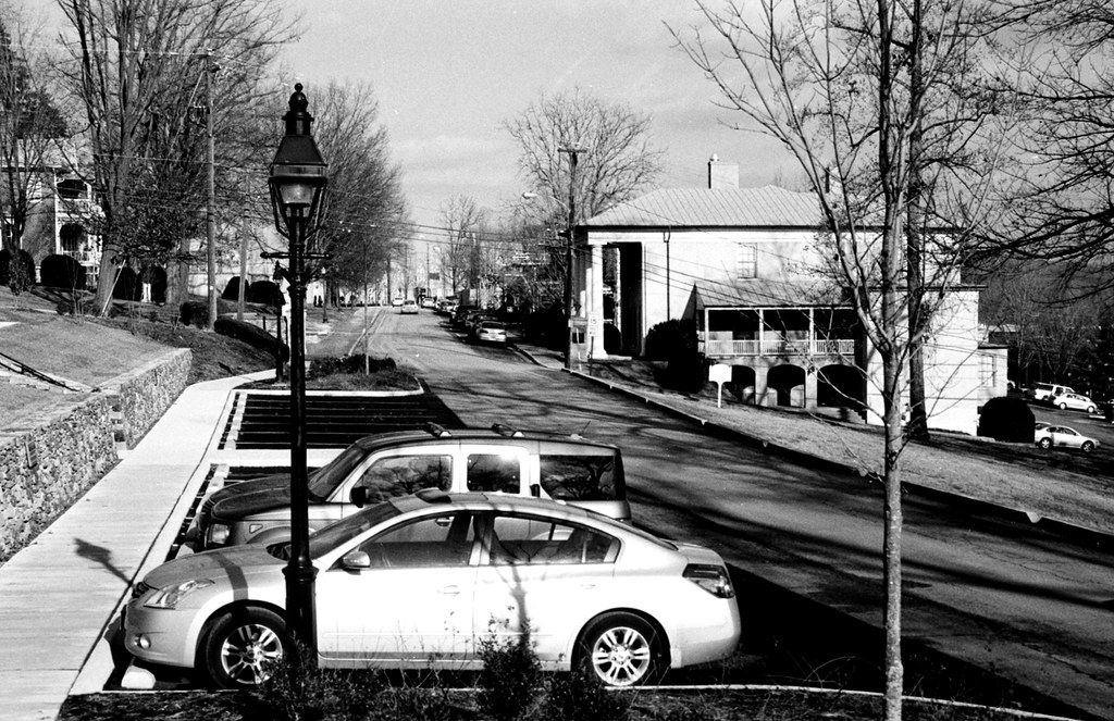
Looking North on Main Street, Lexington, VA
RAD20130126.22 VMI Parade & Barracks

Late Light - Blue Ridge Parkway

For your patriotic viewing pleasure

Meandering Mackey's Lane
RAD20130126.10 Letcher Avenue

Whetstone Ridge View
View of the Valley
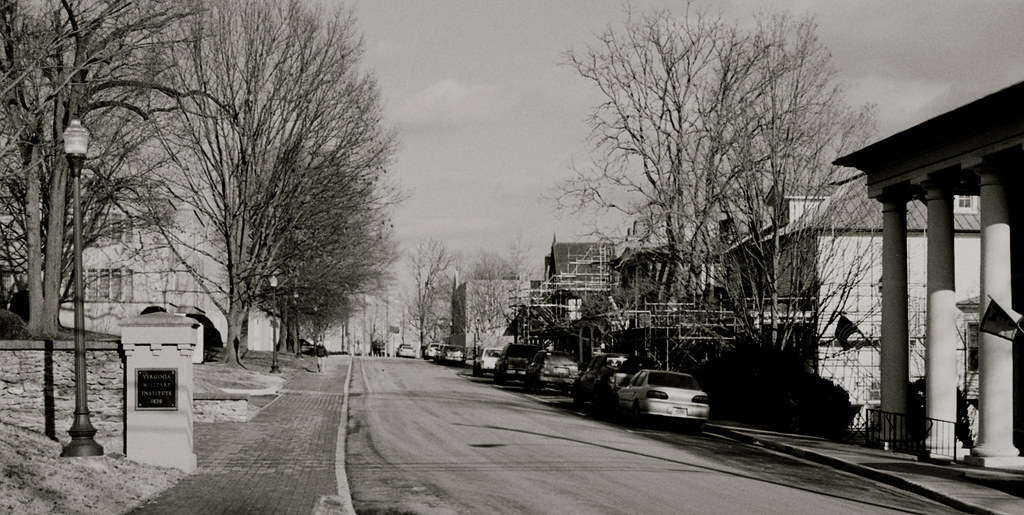
RAD20130126.13 Letcher Avenue

2011.10.17 45K Views
Timber Ridge Presbyterian Church
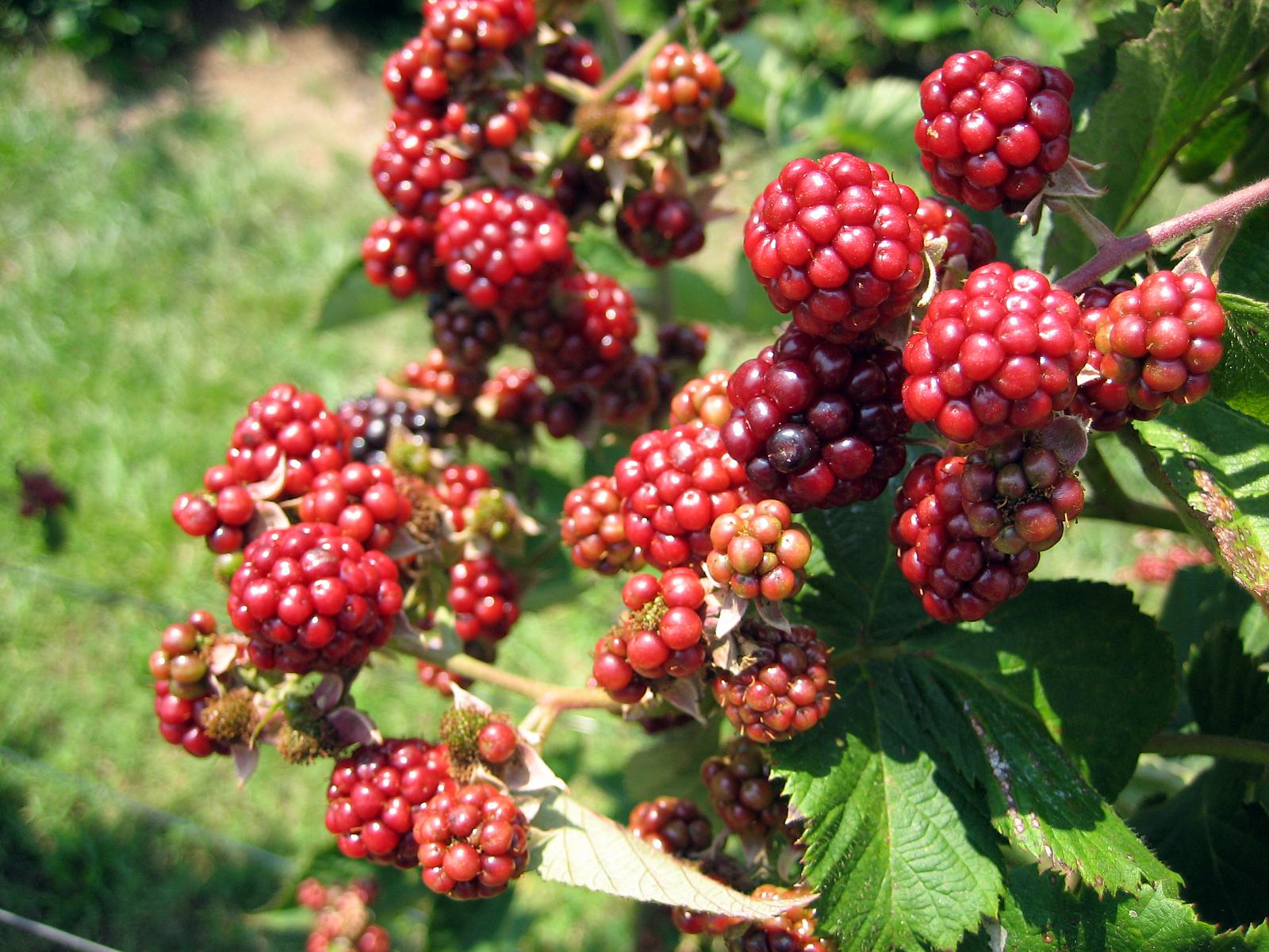
At the Berry Farm

McDowell Cemetery & Red House off US Route 11 north of Lexington, VA - Fairfield Virginia

Spring Has Arrived
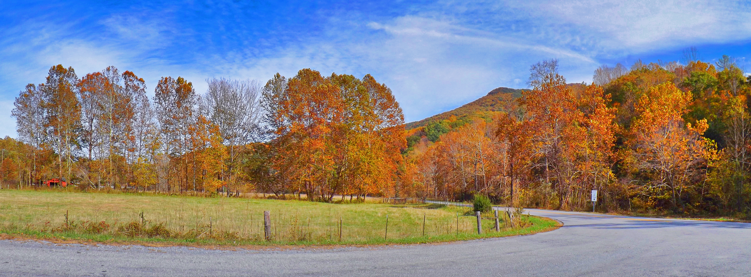
Autumn Colors

A Small Farm on a Rainy Day
Overcast Autumn Day in Goshen Pass
she'll be coming 'round the mountain when she comes...

Rockbridge County Va.
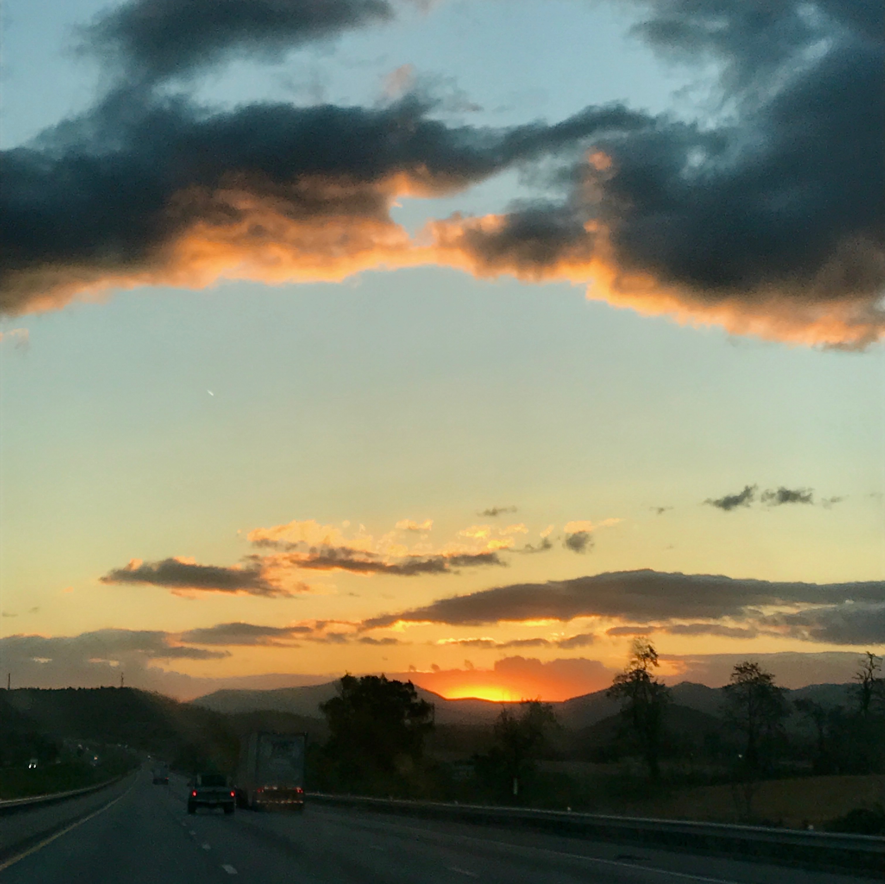
amazing clouds, in Rockbridge County, Virginia

Wade's Mill
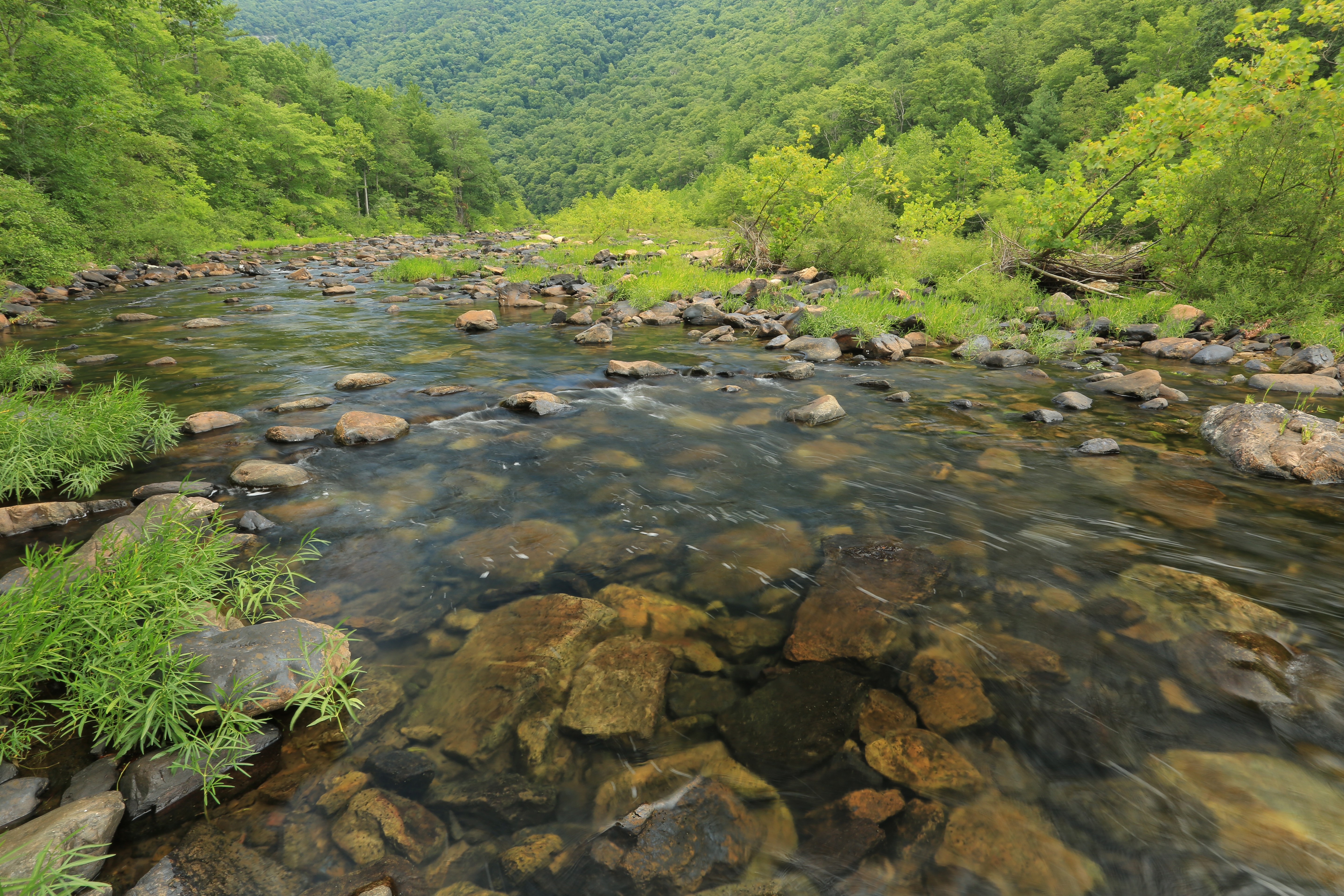
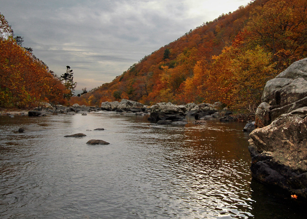
Maury River, Goshen Pass, Goshen Pass State Natural Area, Rockbridge County, Virginia 1
Low Clouds in Goshen Pass

Maury in March
Wades Mill Apple Butter Festival

Huge thundercloud above Afton Mountain, Virginia
Walkers Creek 10.15.99.03

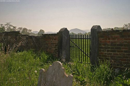
McDowell Cemetery, Fairfield, VA

Dusk and low clouds in Virginia
Spy Rock 8-24-14
Topographic Map of Maury River Rd, Lexington, VA, USA
Find elevation by address:

Places near Maury River Rd, Lexington, VA, USA:
3955 Maury River Rd
Kenwood Lane
4674 Maury River Rd
2516 N Lee Hwy
263 Timber Grove Ln
Rockbridge Baths
Sunnybrook Road
Virginia Horse Center
793 Fox Rd
Fairfield, VA, USA
86 Walucman Dr
340 Greenbough Ln
86 Walucman Dr
86 Walucman Dr
620 Jump Mountain Rd
2270 S River Rd
2270 S River Rd
Fairfield
Walkers Creek
377 Rattler Rd
Recent Searches:
- Elevation of Rojo Ct, Atascadero, CA, USA
- Elevation of Flagstaff Drive, Flagstaff Dr, North Carolina, USA
- Elevation of Avery Ln, Lakeland, FL, USA
- Elevation of Woolwine, VA, USA
- Elevation of Lumagwas Diversified Farmers Multi-Purpose Cooperative, Lumagwas, Adtuyon, RV32+MH7, Pangantucan, Bukidnon, Philippines
- Elevation of Homestead Ridge, New Braunfels, TX, USA
- Elevation of Orchard Road, Orchard Rd, Marlborough, NY, USA
- Elevation of 12 Hutchinson Woods Dr, Fletcher, NC, USA
- Elevation of Holloway Ave, San Francisco, CA, USA
- Elevation of Norfolk, NY, USA