Elevation map of Matutuíne District, Mozambique
Location: Mozambique > Maputo Province >
Longitude: 32.5372741
Latitude: -26.601728
Elevation: 97m / 318feet
Barometric Pressure: 100KPa
Elevation Map:
Satellite Map:
Related Photos:
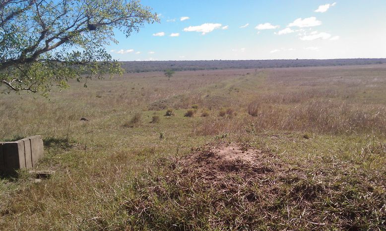
Previous rice field

Rice field
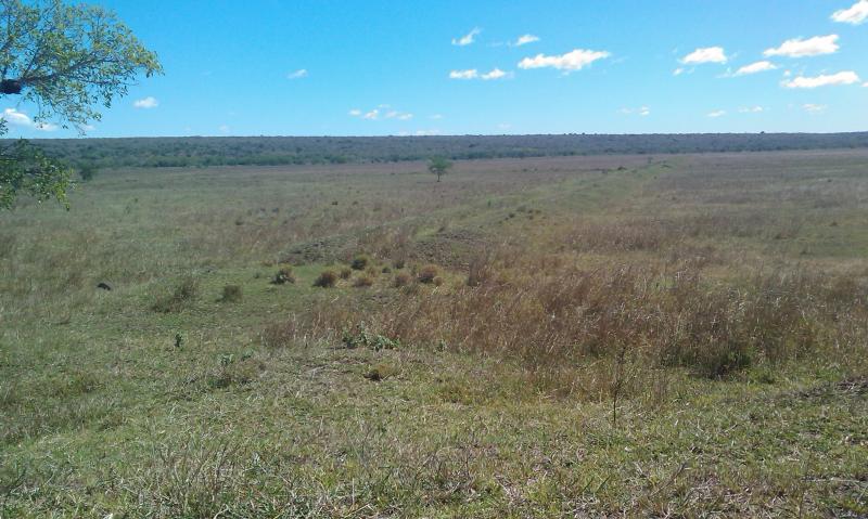
Rice field

Pump station (abandoned)

Rice project headquarter

Rice Project headquarter
Topographic Map of Matutuíne District, Mozambique
Find elevation by address:

Places in Matutuíne District, Mozambique:
Places near Matutuíne District, Mozambique:
Anand Ashram Salamanga
Tembe
Gaômo
Machate
Maputo Special Reserve
South African High Commission
Eduardo Mondlane
Machava
Escola Primária De Beluluane
Maputo
Farmácia Albasine
Maputo City
Manhica
Recent Searches:
- Elevation of Leguwa, Nepal
- Elevation of County Rd, Enterprise, AL, USA
- Elevation of Kolchuginsky District, Vladimir Oblast, Russia
- Elevation of Shustino, Vladimir Oblast, Russia
- Elevation of Lampiasi St, Sarasota, FL, USA
- Elevation of Elwyn Dr, Roanoke Rapids, NC, USA
- Elevation of Congressional Dr, Stevensville, MD, USA
- Elevation of Bellview Rd, McLean, VA, USA
- Elevation of Stage Island Rd, Chatham, MA, USA
- Elevation of Shibuya Scramble Crossing, 21 Udagawacho, Shibuya City, Tokyo -, Japan