Elevation of Mattoon Road, Mattoon Rd, Cohocton, NY, USA
Location: United States > New York > Steuben County > Fremont >
Longitude: -77.548684
Latitude: 42.419323
Elevation: 536m / 1759feet
Barometric Pressure: 95KPa
Elevation Map:
Satellite Map:
Related Photos:
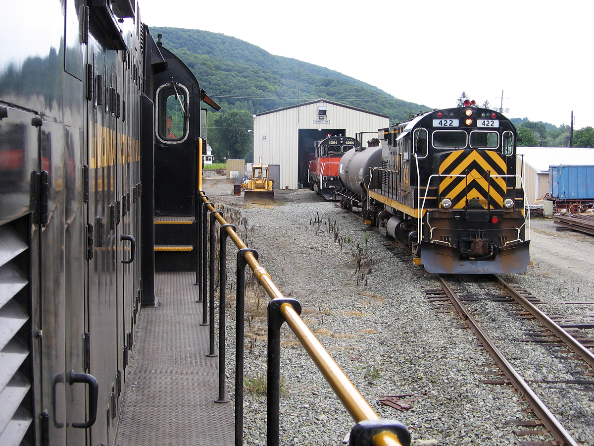
Cohocton Shops
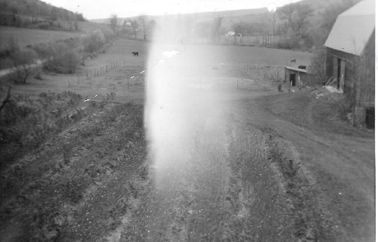
View of the Fields of West Creek Rd
View of Brinkhus Farm
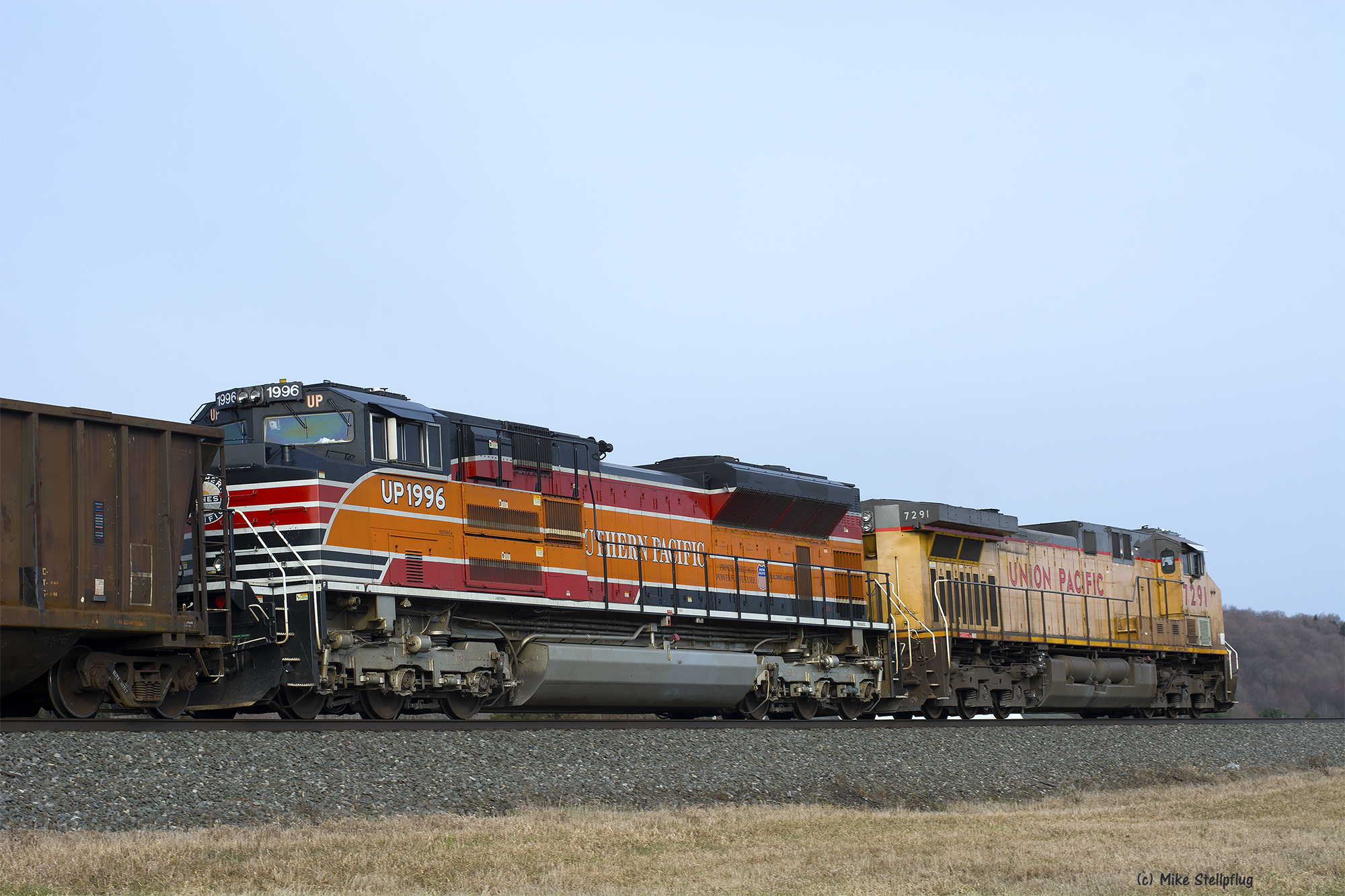
UP 1996 Arkport Flats
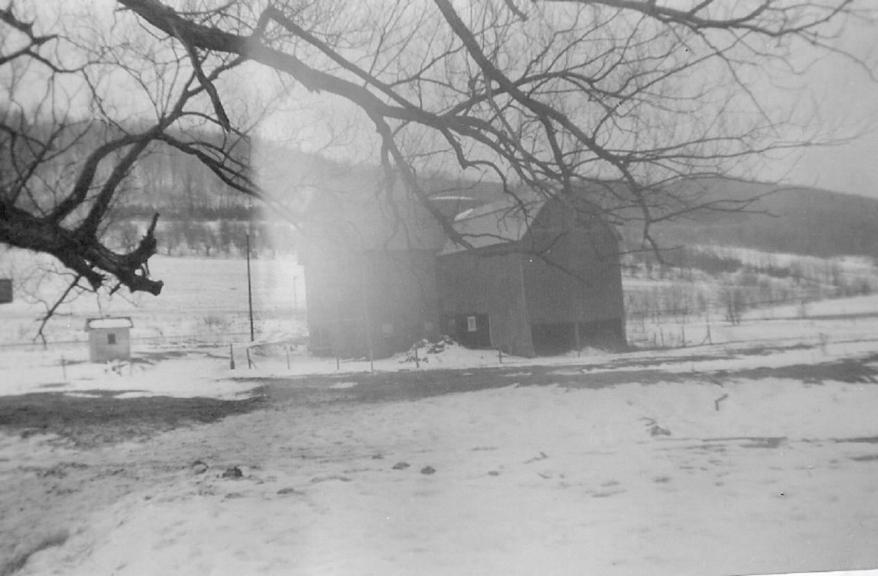
View of the Back Side of the Barn on the Brinkhus Farm
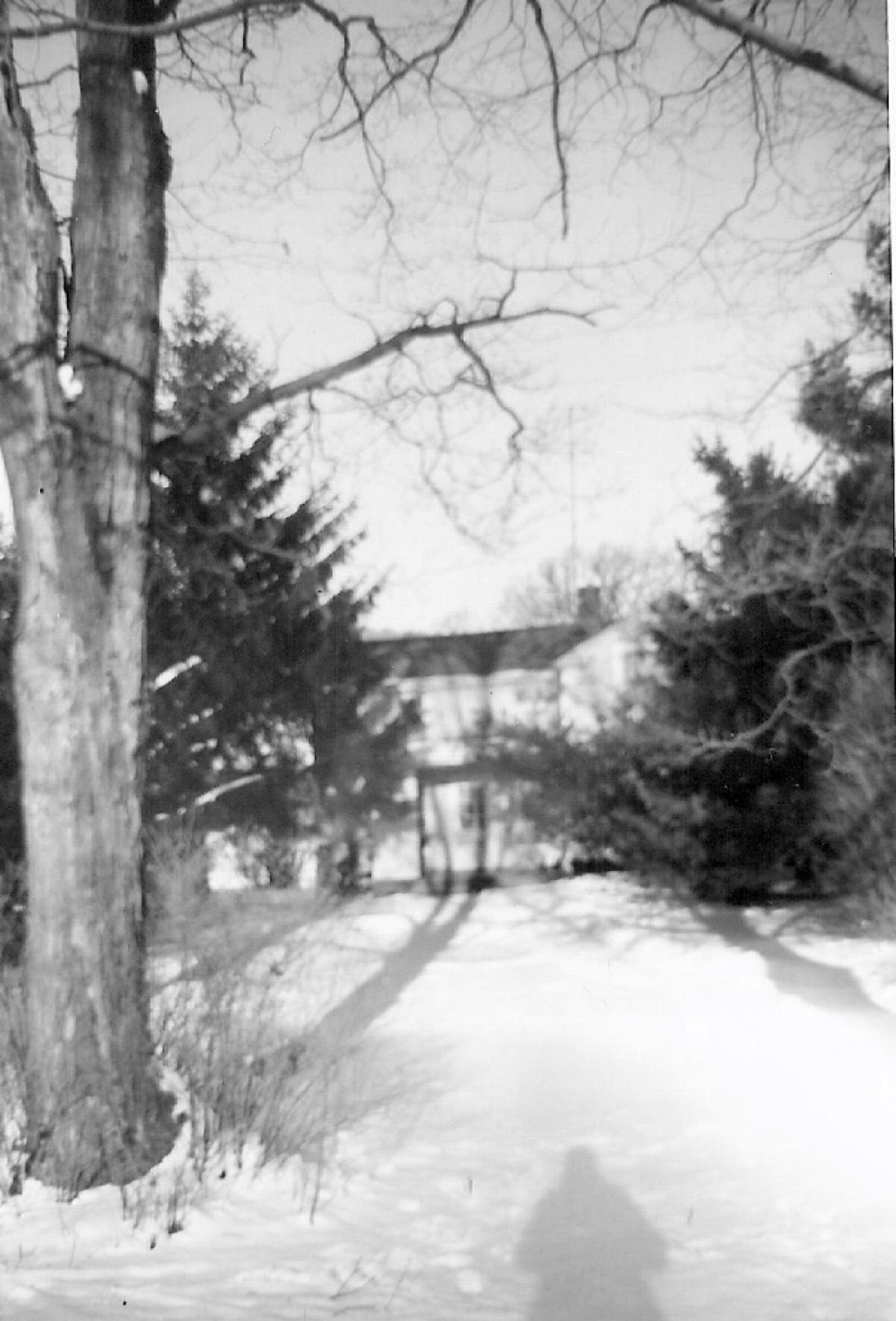
Front View of the Brinkhus home on West Creek Road-taken fro
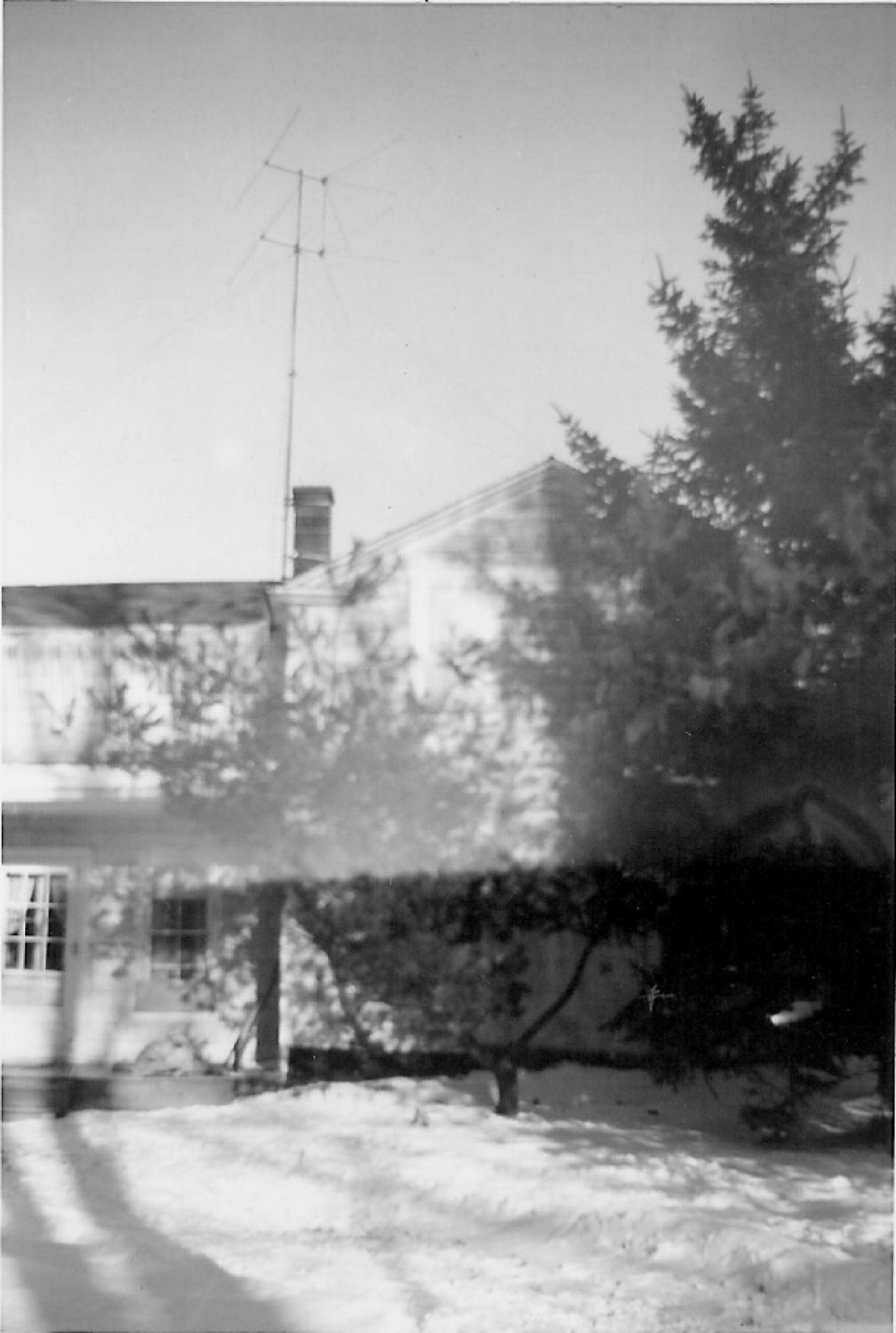
Front View of the Brinkhus home on West Creek Road
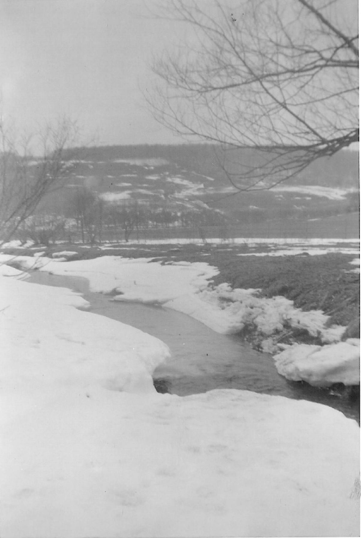
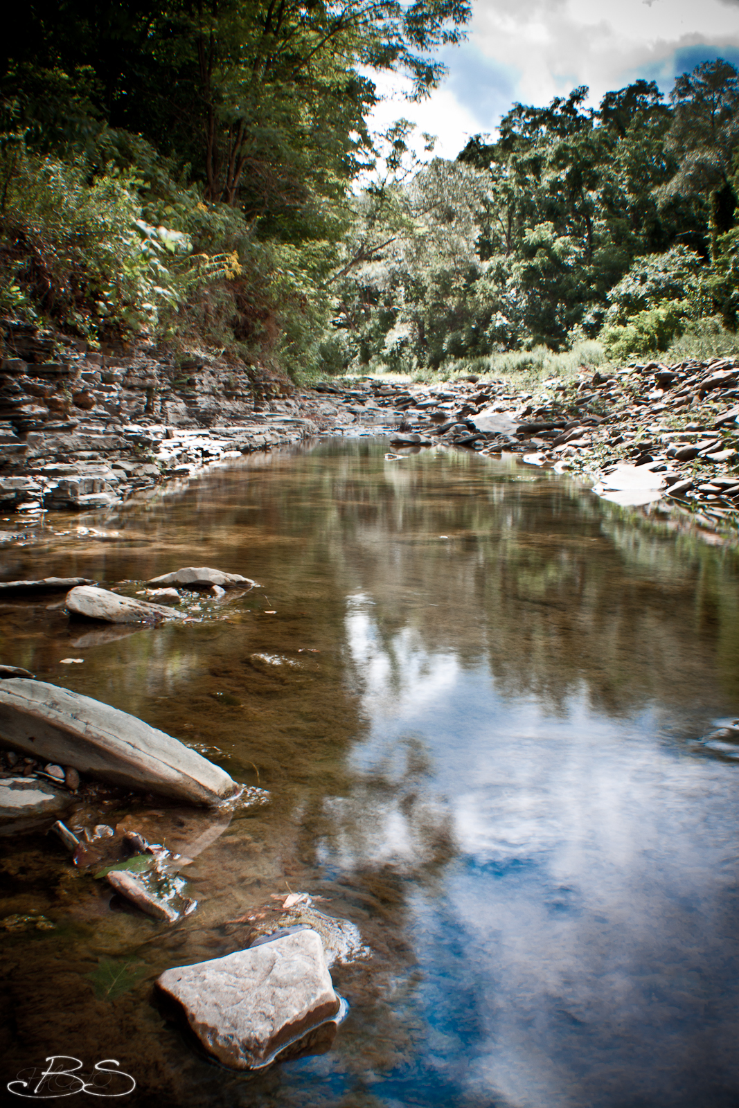
View of the Stream that runs behind the Brinkhus home on Wes
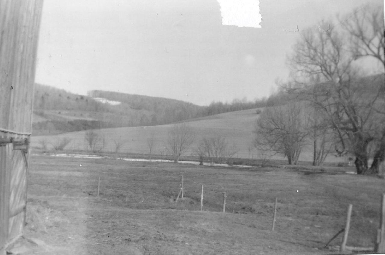
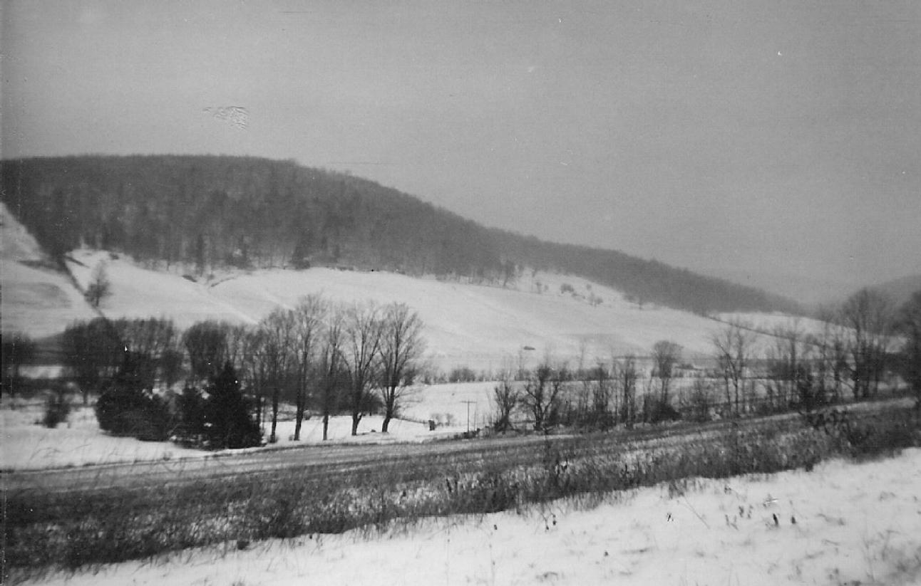
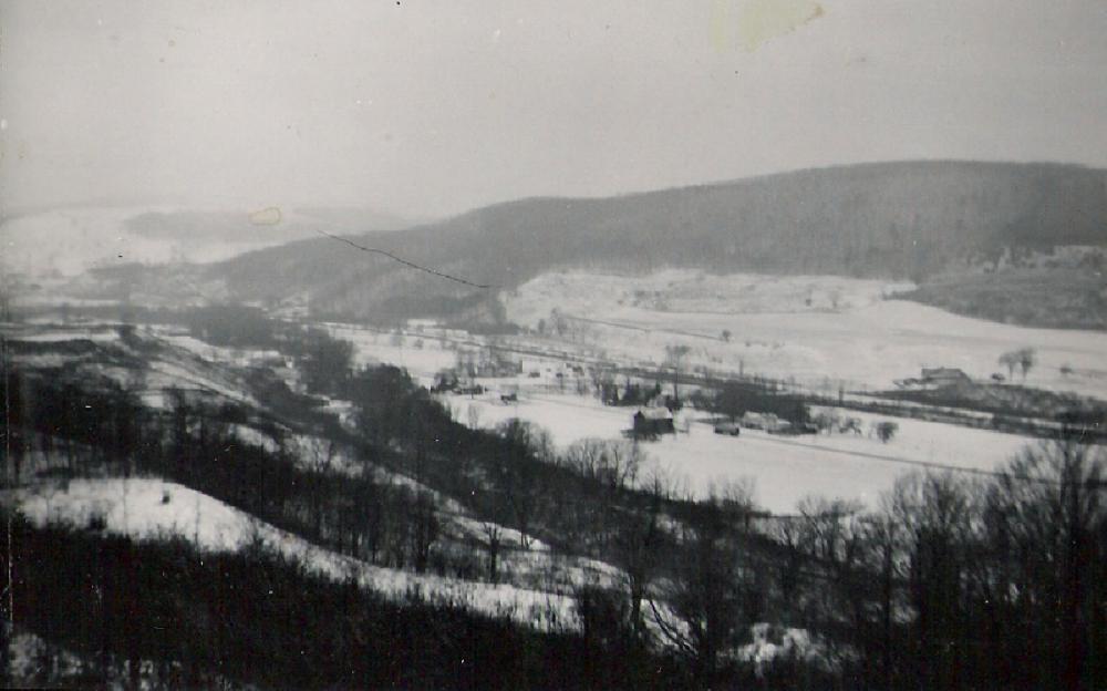
View of the Back Hill

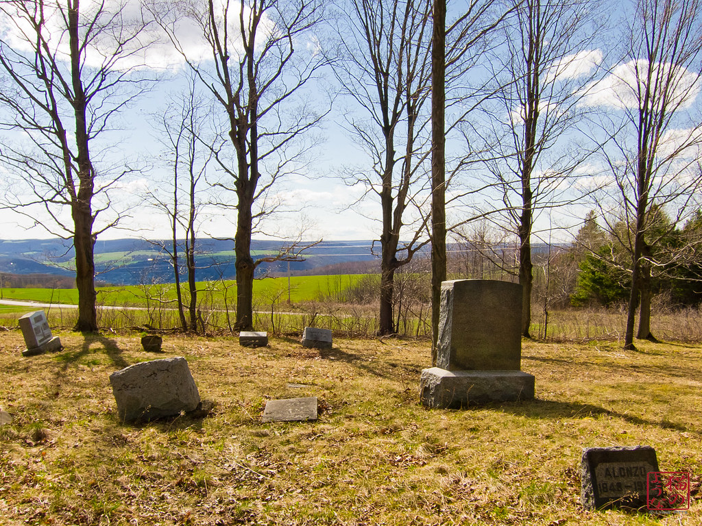
Cohocton, NY

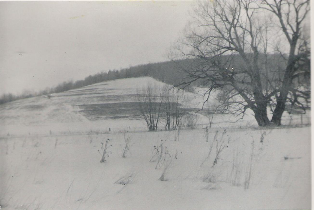
View of the Old Brinkhus Farm from the Back Hill

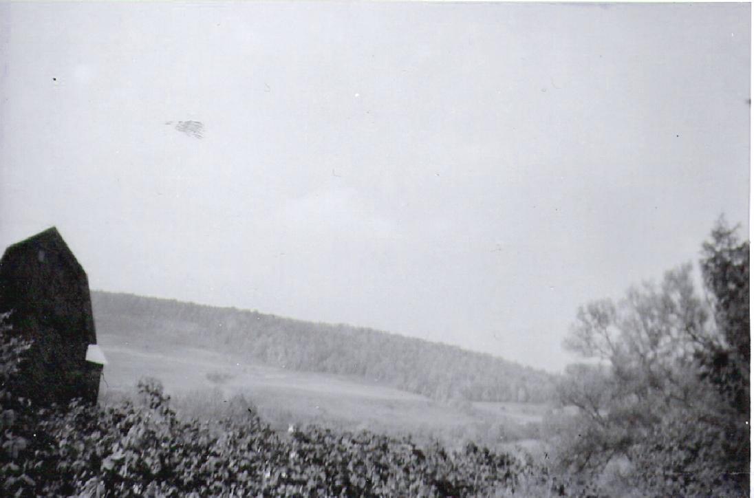
View of the Back Side of Brinkhus Farm on West Creek Road

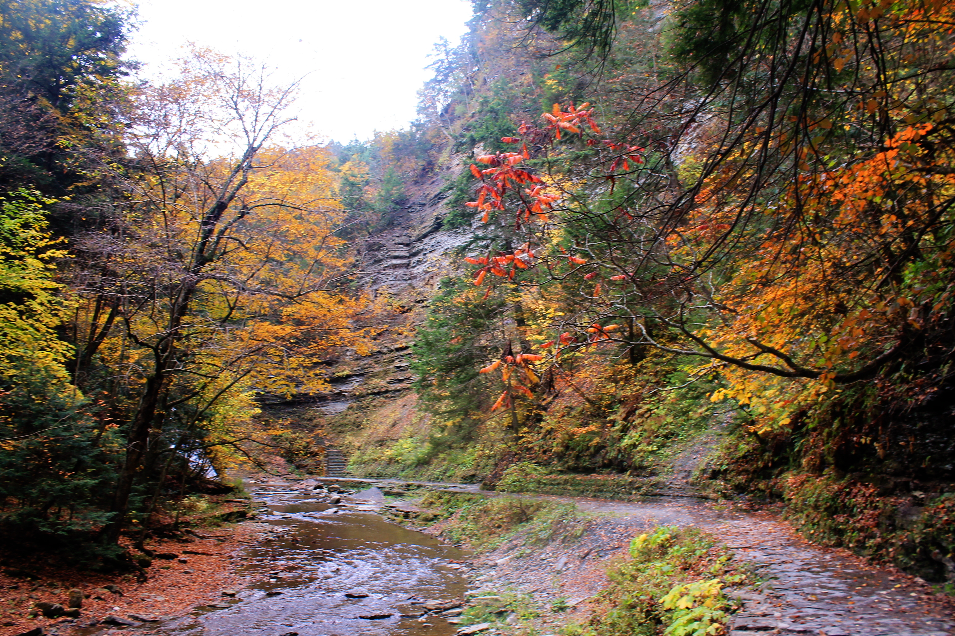
Stony Brook State Park
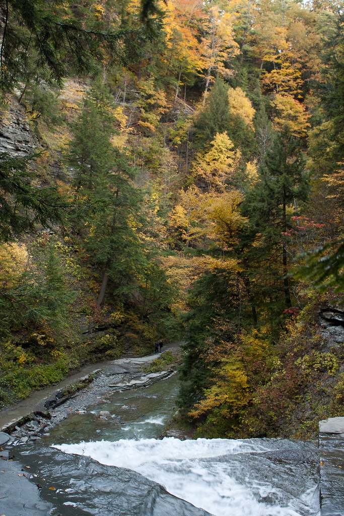
View down into th egorge
DSB_9227 (Large)
In Friends We Trust

Stony Brook State Park
Francis' View

Stony Brook State Park

Almond Lake

Room with a view

Upper Bridge to North Rim Trail
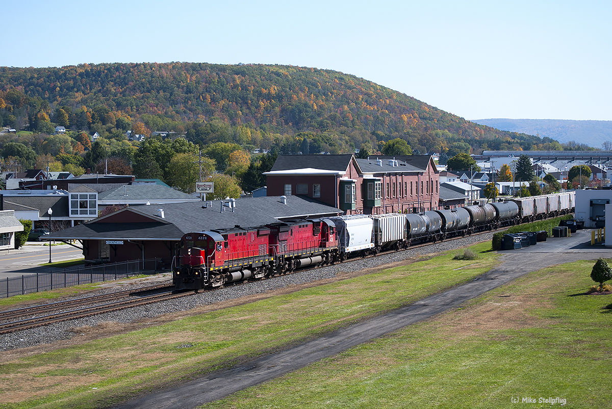
WNYP 4228 Hornell station
Landscape 19
The Valley
Landscape 5

Landscape 9
Turn Left
Landscape 2
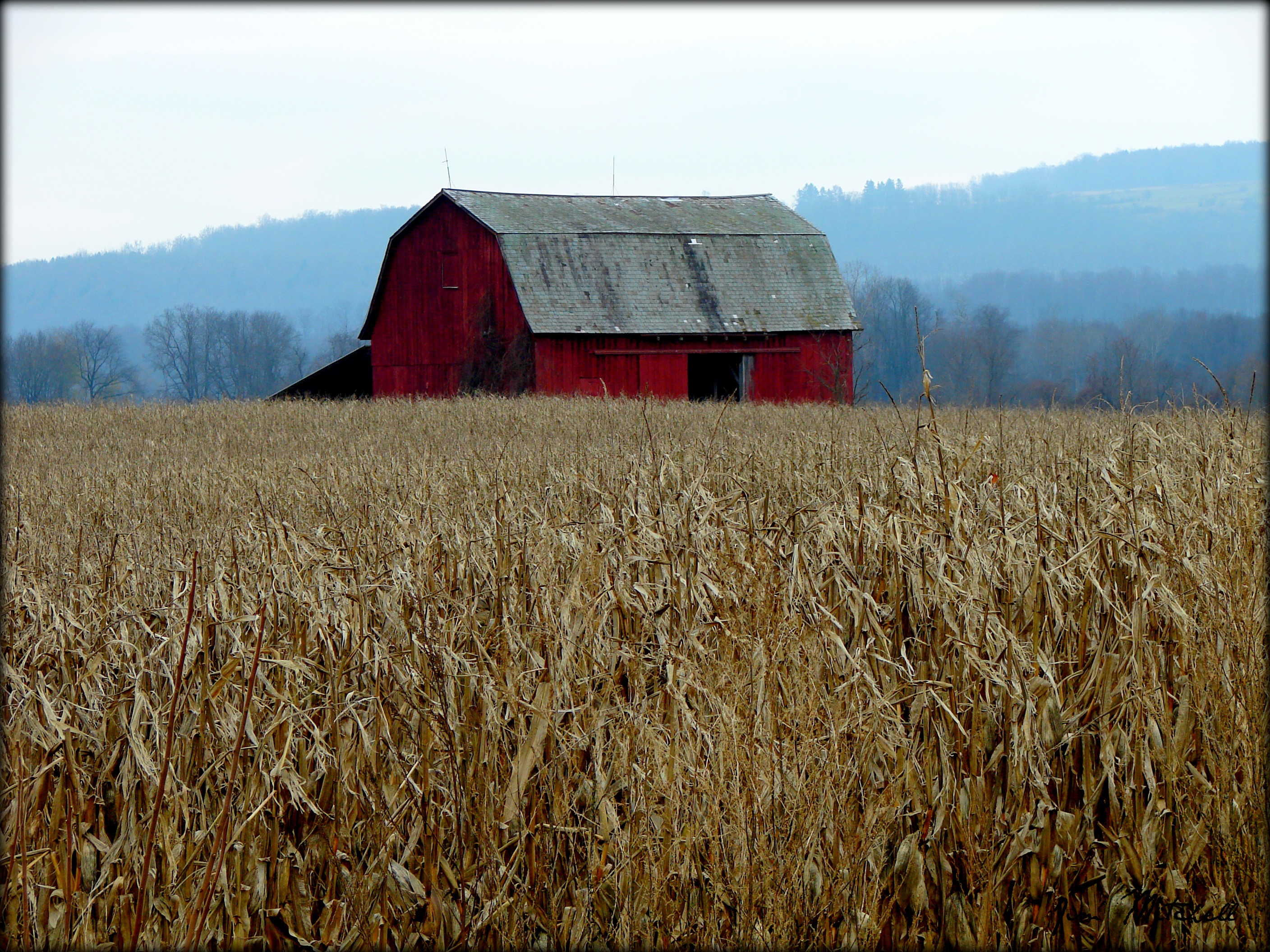
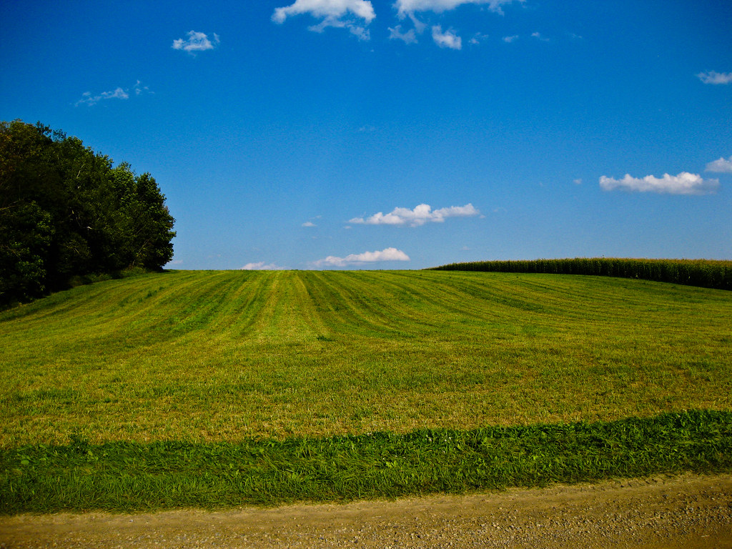
"Corn Field Counrty"
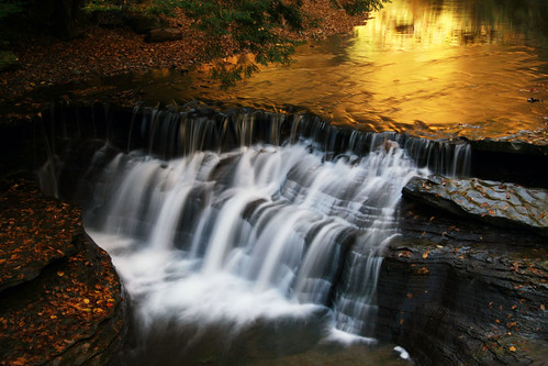
Falls and Reflection
Summertime Hill

20150722-161446-2

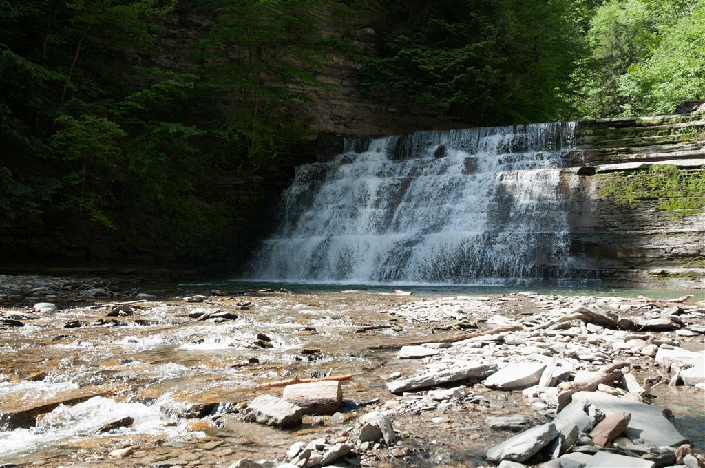
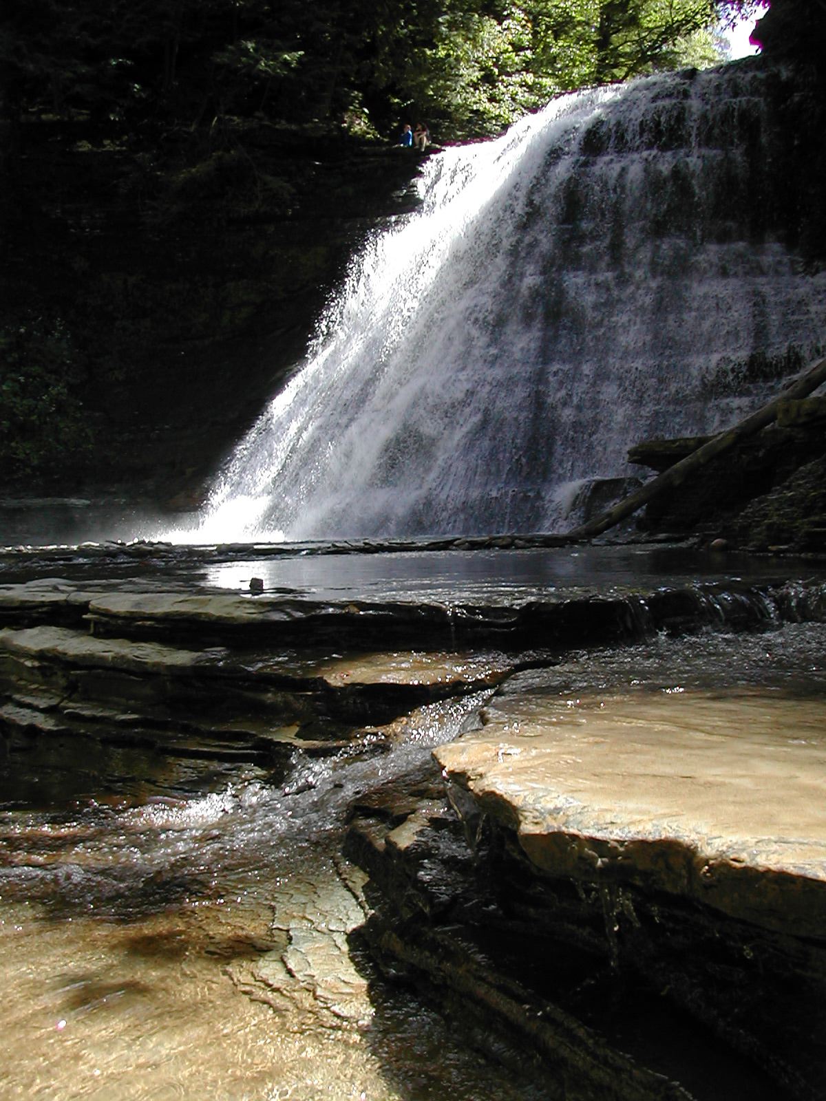
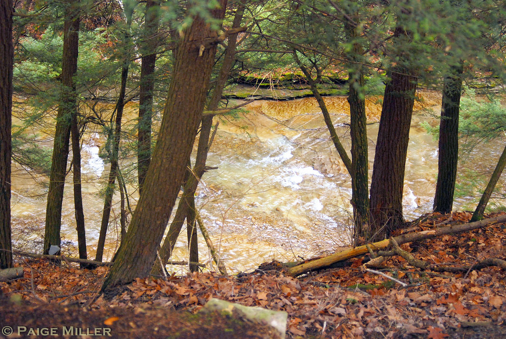
Cascades at Stony Brook

"Bailed sunshine"
20150722-161731-3

Stony Brook State Park

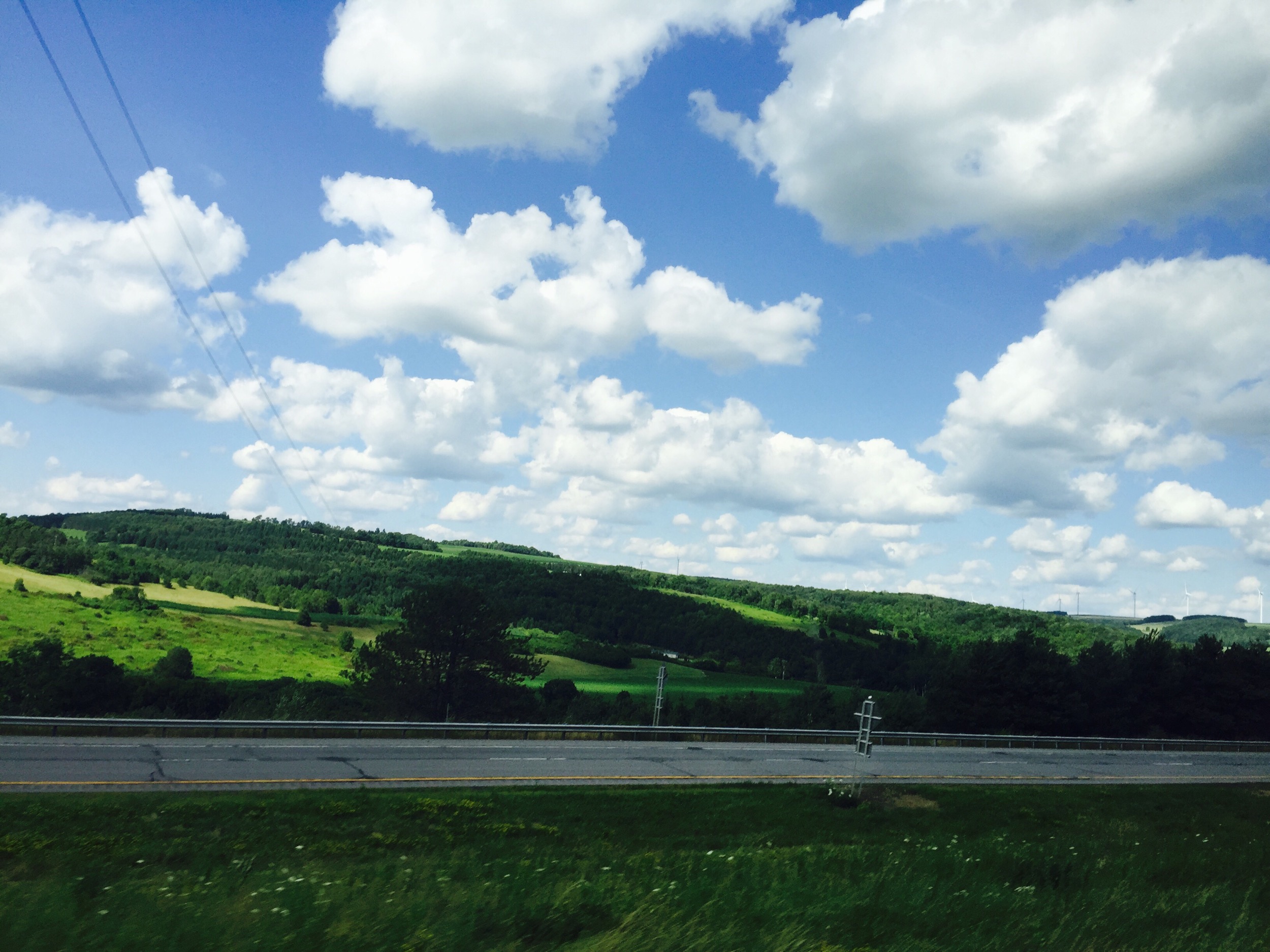
Upstate Landscape
DSCN0917.JPG

Waterfall from the other side :)
20110811-_MG_9577
Stony Brook State Park
Topographic Map of Mattoon Road, Mattoon Rd, Cohocton, NY, USA
Find elevation by address:

Places near Mattoon Road, Mattoon Rd, Cohocton, NY, USA:
Jones Road
Canfield Road
Brown Hill Road
County Route 70a
3479 County Rte 70a
Fremont
Loon Lake Chapel
9 E Lake Rd
Fremont
NY-, Avoca, NY, USA
Cohocton
Avoca
1851 Kurtz Hollow Rd
Cohocton
Wayland
7688 Ny-21
Avoca
Dansville
10128 Hartman Rd
9147 Oak Hill Rd
Recent Searches:
- Elevation of Royal Ontario Museum, Queens Park, Toronto, ON M5S 2C6, Canada
- Elevation of Groblershoop, South Africa
- Elevation of Power Generation Enterprises | Industrial Diesel Generators, Oak Ave, Canyon Country, CA, USA
- Elevation of Chesaw Rd, Oroville, WA, USA
- Elevation of N, Mt Pleasant, UT, USA
- Elevation of 6 Rue Jules Ferry, Beausoleil, France
- Elevation of Sattva Horizon, 4JC6+G9P, Vinayak Nagar, Kattigenahalli, Bengaluru, Karnataka, India
- Elevation of Great Brook Sports, Gold Star Hwy, Groton, CT, USA
- Elevation of 10 Mountain Laurels Dr, Nashua, NH, USA
- Elevation of 16 Gilboa Ln, Nashua, NH, USA