Elevation map of Matrouh Governorate, Egypt
Location: Egypt >
Longitude: 26.419389
Latitude: 29.569635
Elevation: 92m / 302feet
Barometric Pressure: 100KPa
Elevation Map:
Satellite Map:
Related Photos:

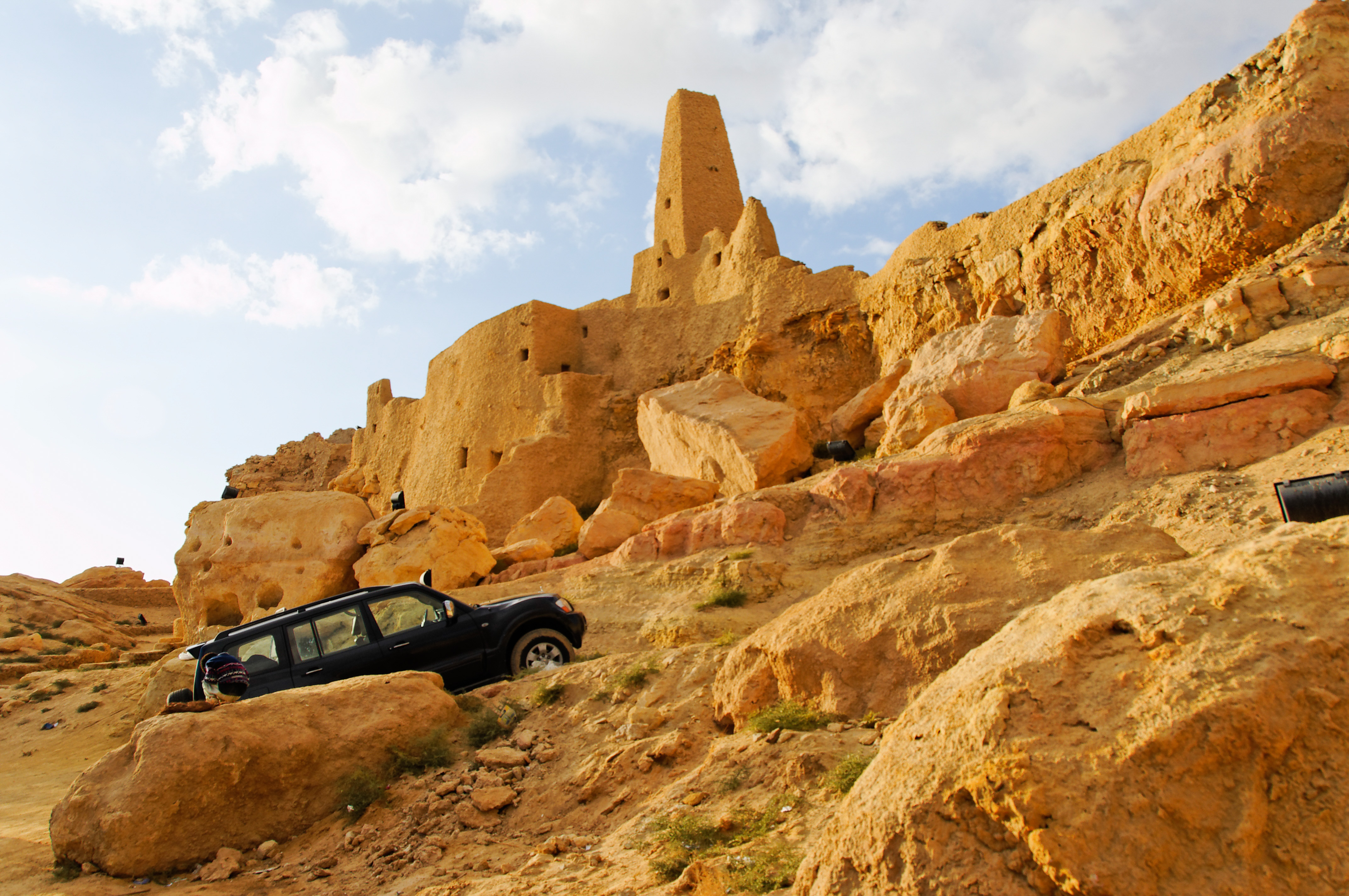
Ras Abu Laho
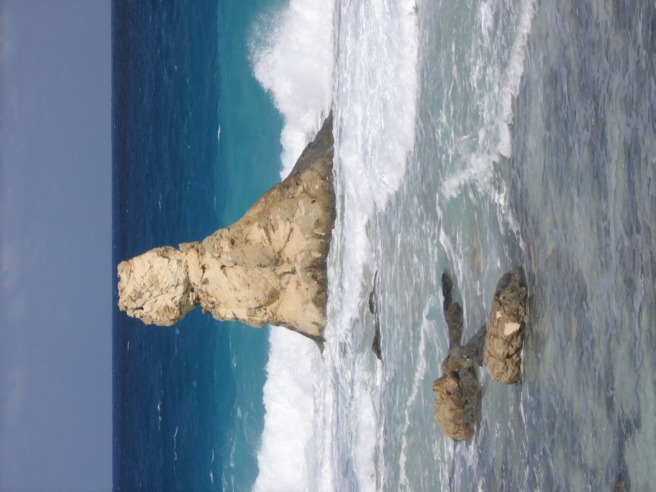
the bizarre bust at cleopatra beach, matrouh governorate

Cleopatra beach.jpg

2008.12.31 16.03.12.jpg

2008.12.31 14.45.10.jpg
2008.12.31 14.36.34.jpg

2008.12.31 16.07.52.jpg
2008.12.31 14.37.30.jpg
2008.12.31 12.02.28.jpg
2008.12.30 15.16.02.jpg

2008.12.30 14.02.17.jpg

2008.12.31 16.05.24.jpg
2008.12.30 14.07.16.jpg
2008.12.30 15.46.48.jpg

Mersa Matruh - Egypt
Topographic Map of Matrouh Governorate, Egypt
Find elevation by address:

Places in Matrouh Governorate, Egypt:
Places near Matrouh Governorate, Egypt:
Recent Searches:
- Elevation of Fern Rd, Whitmore, CA, USA
- Elevation of 62 Abbey St, Marshfield, MA, USA
- Elevation of Fernwood, Bradenton, FL, USA
- Elevation of Felindre, Swansea SA5 7LU, UK
- Elevation of Leyte Industrial Development Estate, Isabel, Leyte, Philippines
- Elevation of W Granada St, Tampa, FL, USA
- Elevation of Pykes Down, Ivybridge PL21 0BY, UK
- Elevation of Jalan Senandin, Lutong, Miri, Sarawak, Malaysia
- Elevation of Bilohirs'k
- Elevation of 30 Oak Lawn Dr, Barkhamsted, CT, USA