Elevation of Massee Post Rd, Adel, GA, USA
Location: United States > Georgia > Cook County > Adel >
Longitude: -83.373041
Latitude: 31.187072
Elevation: 73m / 240feet
Barometric Pressure: 100KPa
Elevation Map:
Satellite Map:
Related Photos:

245030419452318331_940697120130628-3955-wh73h6

137438905977721470_940697120130628-3955-1jigocx

Year 6~Day 58 +30/366 AND Day 1884: LIR: Cook County Museum and Library Tour & Dutch Treat Lunch at Day's Diner
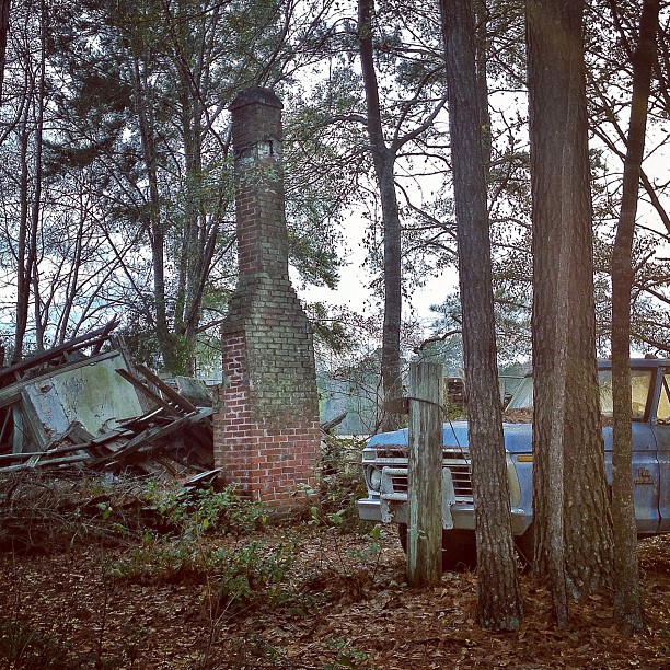
ford #truck #trucks #tree #trees #specialbranch...

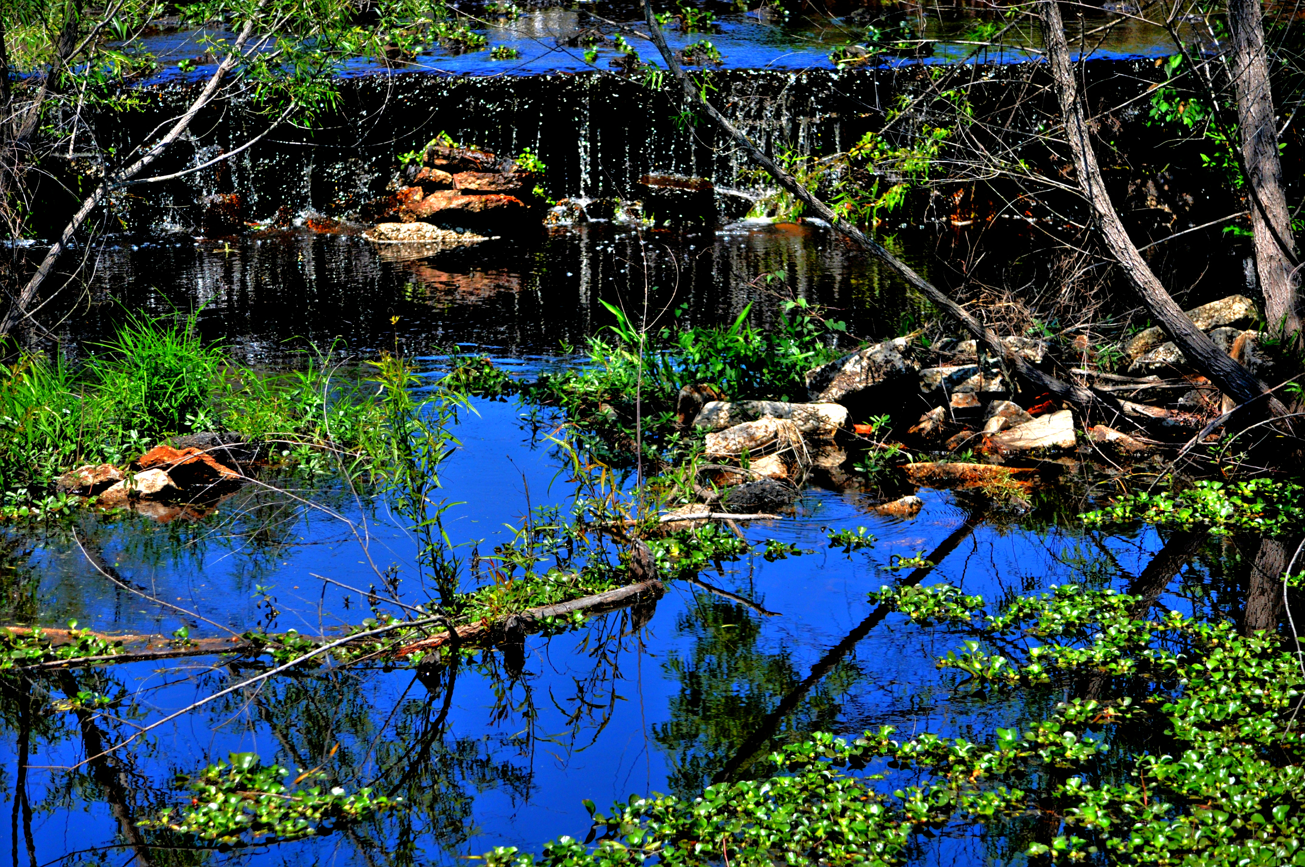
The significance of this is there are gopher tortoise burrows out there. One gopher is just a juvenile. Reed Bingham State Park, Georgia

Norfolk Southern Lehigh Valley Heritage 8104

Little River Trail

Cinnamon Fern
_DSC1765.12

2007 Dixie National Tour_13

2007 Dixie National Tour_11
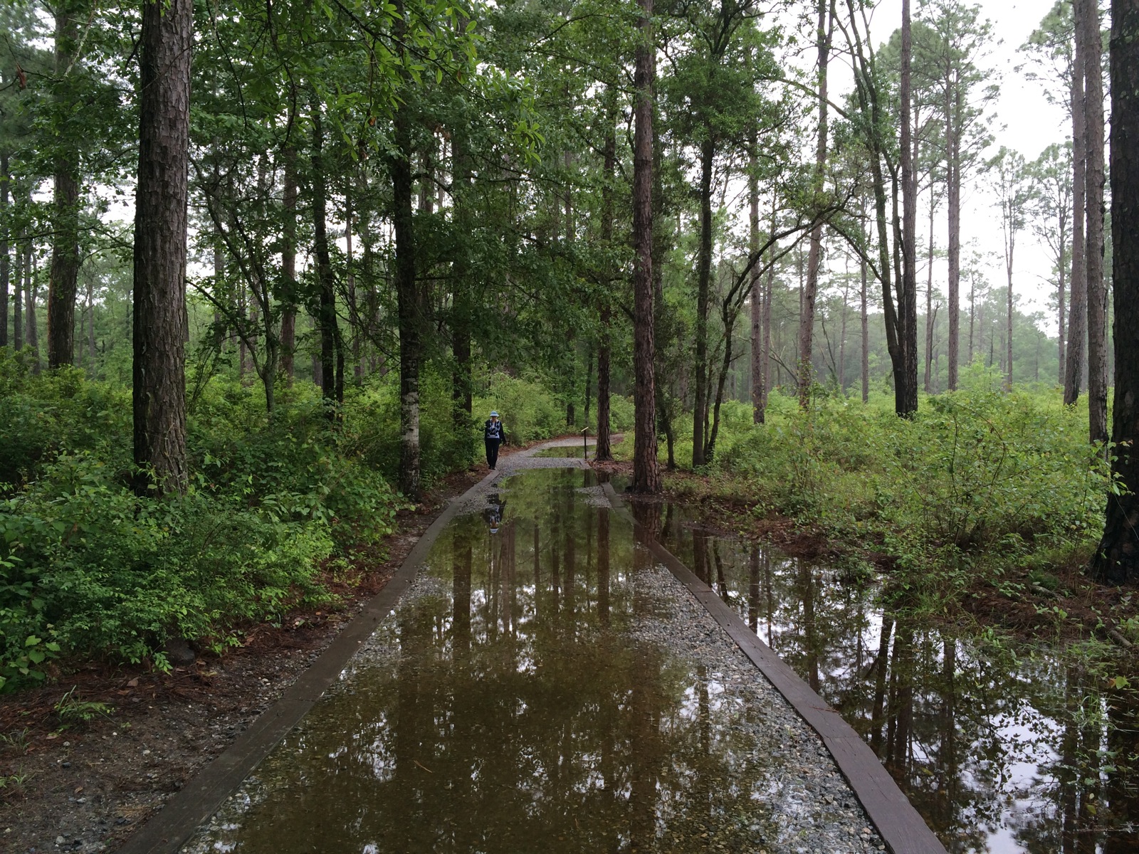
Wet trail
Topographic Map of Massee Post Rd, Adel, GA, USA
Find elevation by address:

Places near Massee Post Rd, Adel, GA, USA:
Joiner Rd, Adel, GA, USA
Susie Mc Cranie Road
Massee Post Rd, Sparks, GA, USA
Sparks
114 Alabama St
608 S Forrest Ave
Adel
N Hutchinson Ave, Adel, GA, USA
901 Strickland Rd
US-41, Sparks, GA, USA
Cook County
Wagon Wheel Rd, Sparks, GA, USA
Nashville
Lenox
Flatford Rd, Sparks, GA, USA
Staunton Cemetary Rd, Lenox, GA, USA
397 Lindsey-goff Rd
Caulie Harris Rd, Hahira, GA, USA
Old Valdosta Rd, Nashville, GA, USA
Lucky Lane
Recent Searches:
- Elevation of Congressional Dr, Stevensville, MD, USA
- Elevation of Bellview Rd, McLean, VA, USA
- Elevation of Stage Island Rd, Chatham, MA, USA
- Elevation of Shibuya Scramble Crossing, 21 Udagawacho, Shibuya City, Tokyo -, Japan
- Elevation of Jadagoniai, Kaunas District Municipality, Lithuania
- Elevation of Pagonija rock, Kranto 7-oji g. 8"N, Kaunas, Lithuania
- Elevation of Co Rd 87, Jamestown, CO, USA
- Elevation of Tenjo, Cundinamarca, Colombia
- Elevation of Côte-des-Neiges, Montreal, QC H4A 3J6, Canada
- Elevation of Bobcat Dr, Helena, MT, USA