Elevation of Mashentuck Rd, Danielson, CT, USA
Location: United States > Connecticut > Windham County > Killingly > Danielson >
Longitude: -71.856729
Latitude: 41.8109878
Elevation: 145m / 476feet
Barometric Pressure: 100KPa
Elevation Map:
Satellite Map:
Related Photos:
Live view setup

ENCHANTED FOREST REFLECTION

Fort Hill Farms

Christmas Tree 2015
View from convent, Moosup, CT

fallin' silo

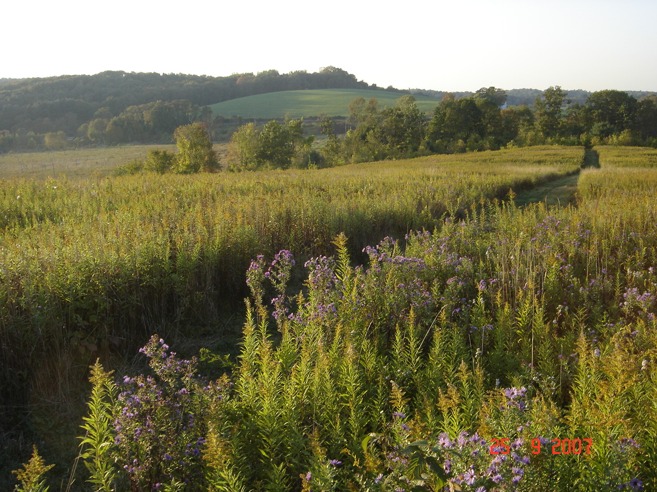
fallin' fields

View from home in the snow
tail's view
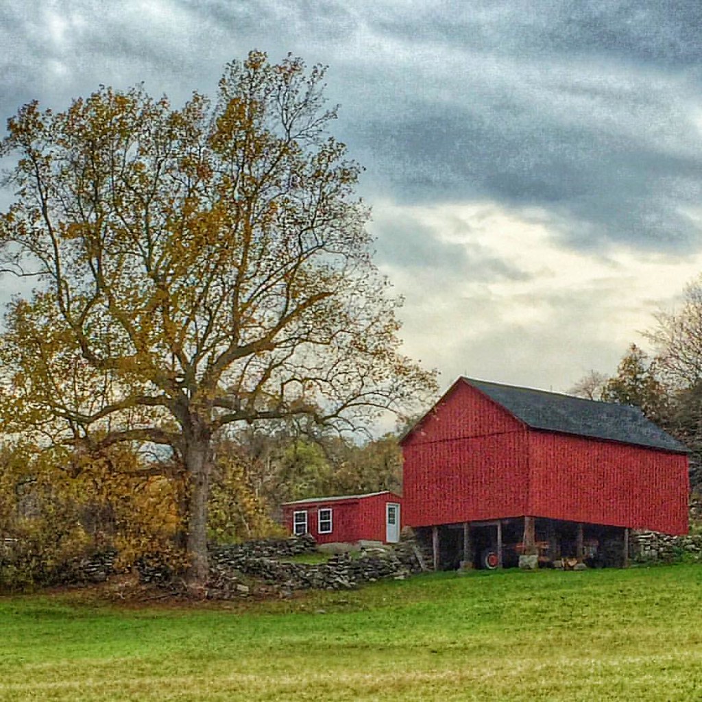
Definitely one of my favorite views on Scenic Route 169 in the Quiet Corner town of Canterbury. I know I've posted photos of this barn and tree before but they're truly a four-season photo stop! @thelastgreenvalley @visitct #canterburyct #route169 #thequi

fall view

Nice View from Up There.

Breakfast Nook 02
Pomfret,CT

Pomfret,CT

Country view restaurant
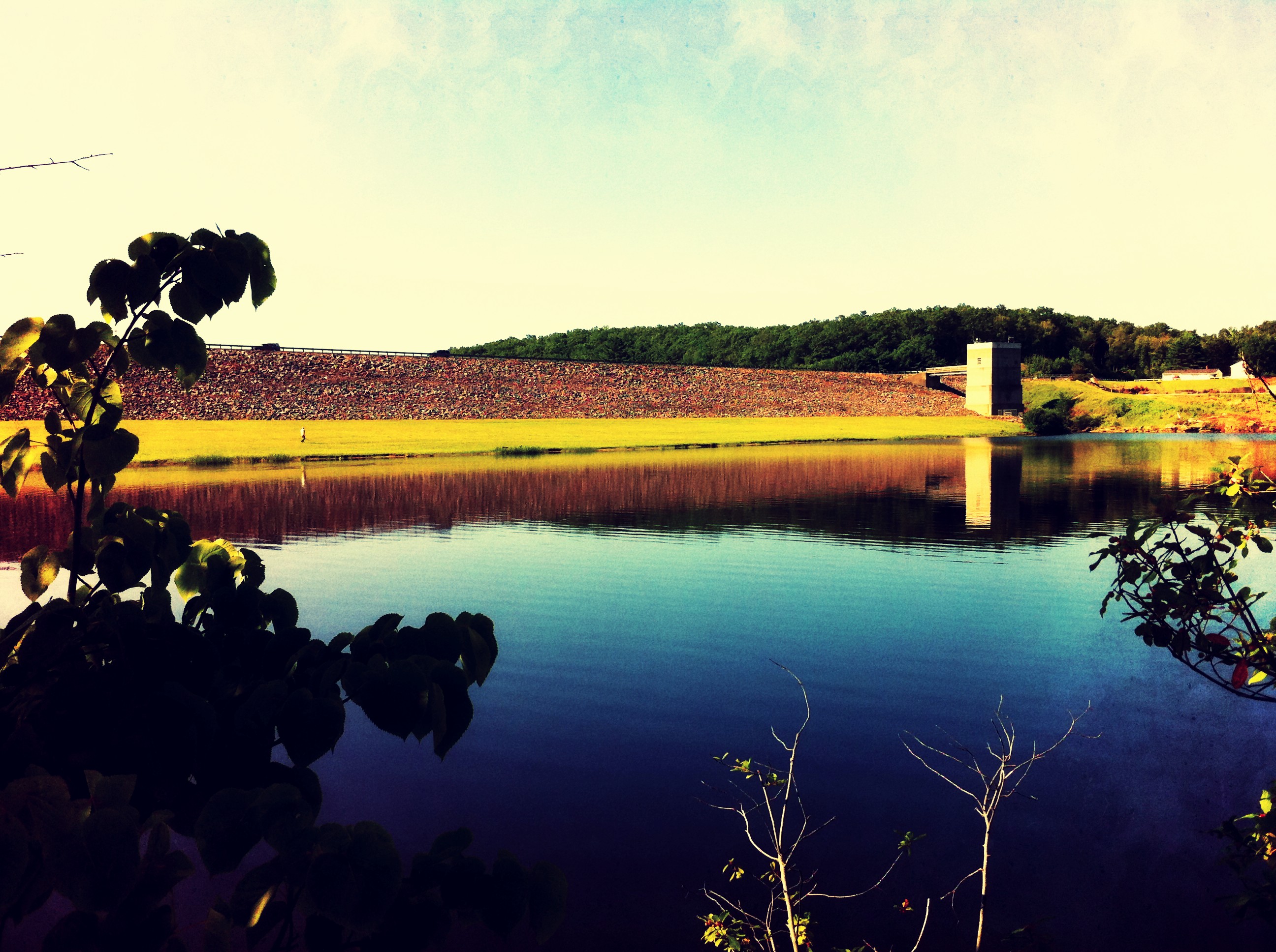
Dam view

0U1A3047 Pomfret CT GPS 41.87276 -71.96307

View from Deck 01
View from Deck 02

Dining Room 02

The Haunted Tucker Hollow Road

Storm's comin'

Tucker Hollow Road

Ram Tail Road Bridge
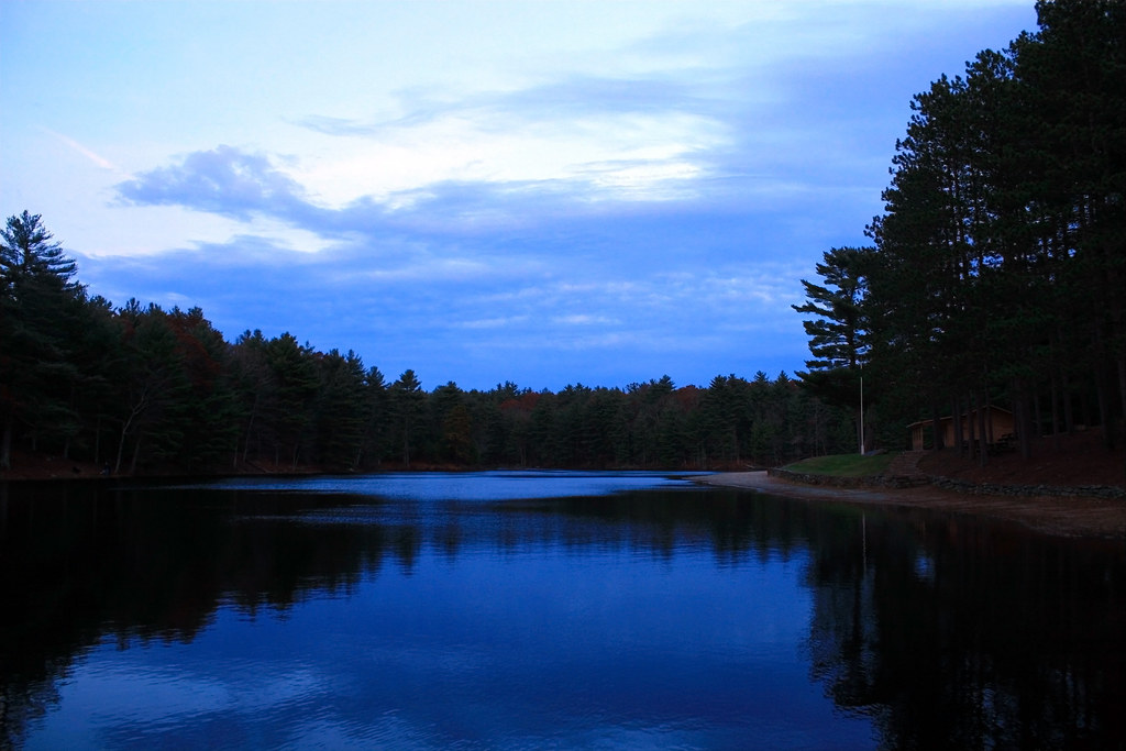
BLUE AT DUSK {EXPLORED}

George Washington State Park_4_HDR

I've looked at clouds from both sides now...

Sterling, Connecticut

George Washington State Park_1_HDR

George Washington State Park_2_HDR
Quaddick State Park-Thompson Ct_0010

Connecticut Farm

Wolf Den State Park, Pomfret CT

Wolf Den State Park

My favorite little #waterfall , in the #fall #autumn #leaves

Ballouville sunset

Quinabaug River Falls

Upon the Forest Floor.

NECR/PW/CN OCS-1

Beautiful Ballouville #sunset!

Cargill Falls Mill- Putnam CT (6)
Topographic Map of Mashentuck Rd, Danielson, CT, USA
Find elevation by address:

Places near Mashentuck Rd, Danielson, CT, USA:
David Avenue
8 Oriole Drive
Killingly
46 Deerwood Dr
Danielson, CT, USA
Danielson
Halls Hill Rd, Danielson, CT, USA
11 Terwilleger Rd
34 Slater Hill Rd
Snake Meadow Road
Snake Meadow Road
Snake Meadow Road
Snake Meadow Road
Snake Meadow Road
Snake Meadow Road
Snake Meadow Road
Snake Meadow Road
Snake Meadow Road
Snake Meadow Road
Snake Meadow Road
Recent Searches:
- Elevation of Elwyn Dr, Roanoke Rapids, NC, USA
- Elevation of Congressional Dr, Stevensville, MD, USA
- Elevation of Bellview Rd, McLean, VA, USA
- Elevation of Stage Island Rd, Chatham, MA, USA
- Elevation of Shibuya Scramble Crossing, 21 Udagawacho, Shibuya City, Tokyo -, Japan
- Elevation of Jadagoniai, Kaunas District Municipality, Lithuania
- Elevation of Pagonija rock, Kranto 7-oji g. 8"N, Kaunas, Lithuania
- Elevation of Co Rd 87, Jamestown, CO, USA
- Elevation of Tenjo, Cundinamarca, Colombia
- Elevation of Côte-des-Neiges, Montreal, QC H4A 3J6, Canada