Elevation of Masaka, Uganda
Location: Uganda > Central Region >
Longitude: 31.7537404
Latitude: -0.3267383
Elevation: 1227m / 4026feet
Barometric Pressure: 87KPa
Elevation Map:
Satellite Map:
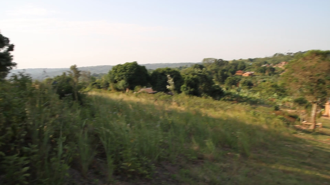
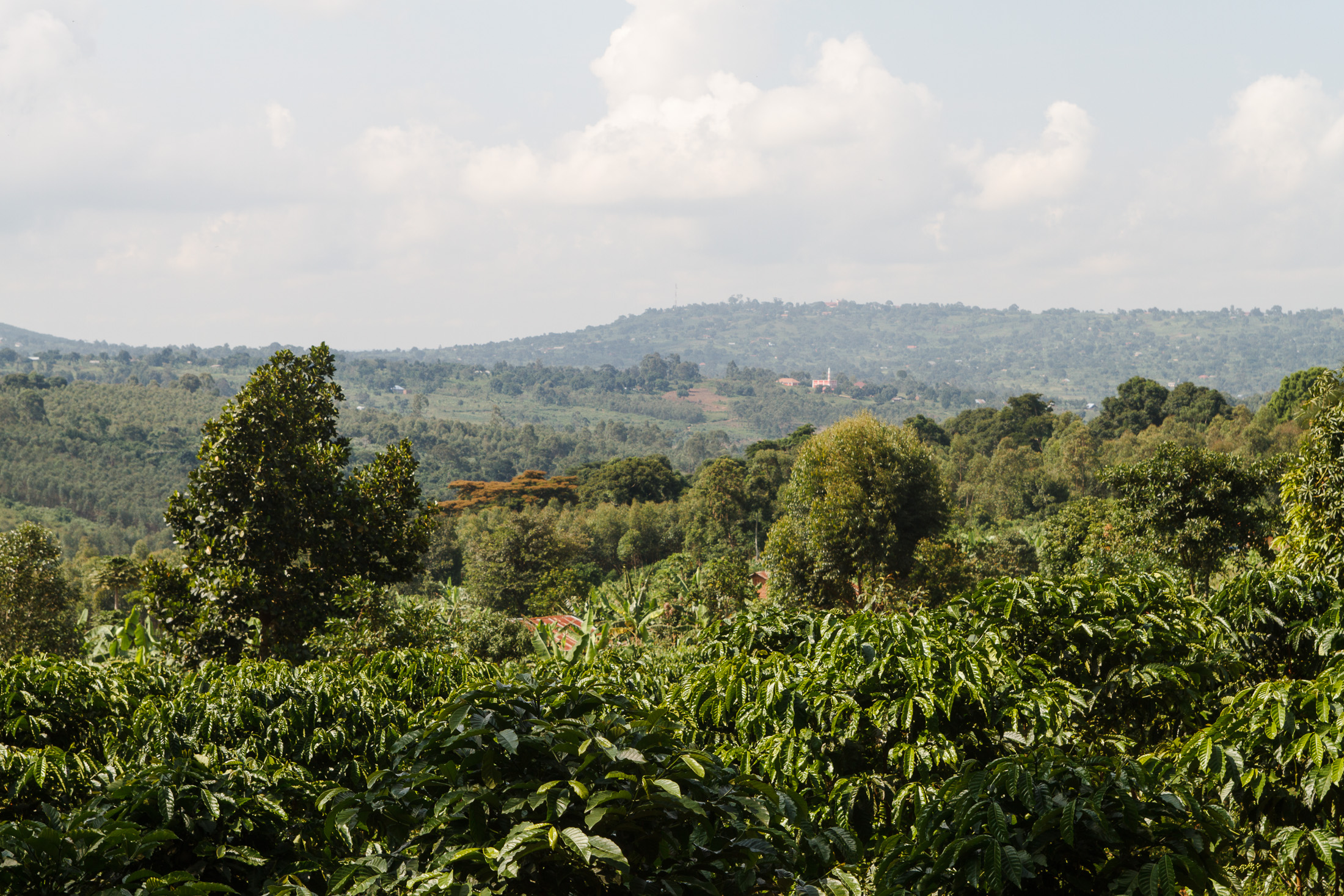
Related Photos:
Isaac Newton School #519

Evening hours on the lake

Evening hours on the lake

Evening hours on the lake
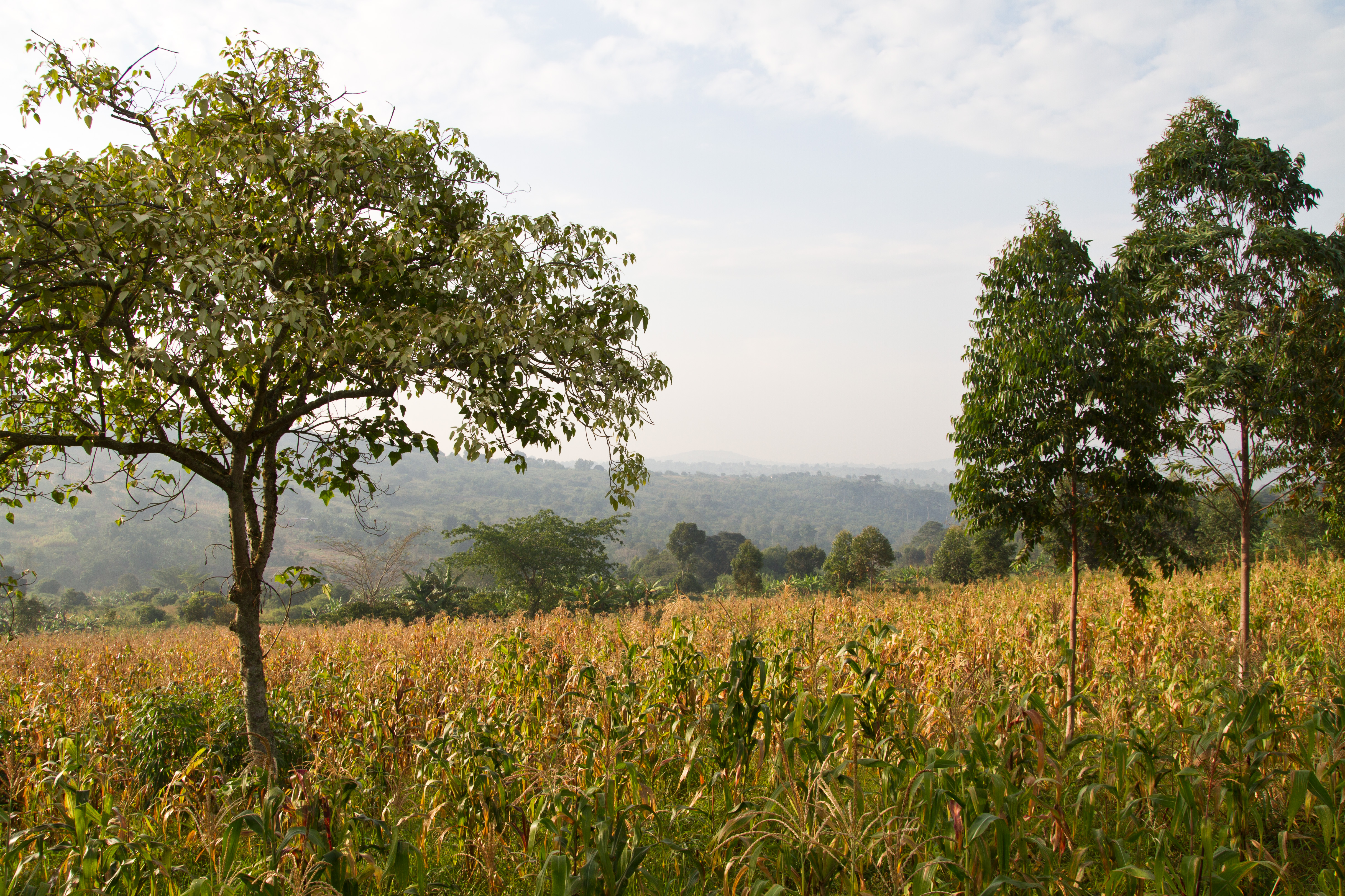
Isaac Newton School #298
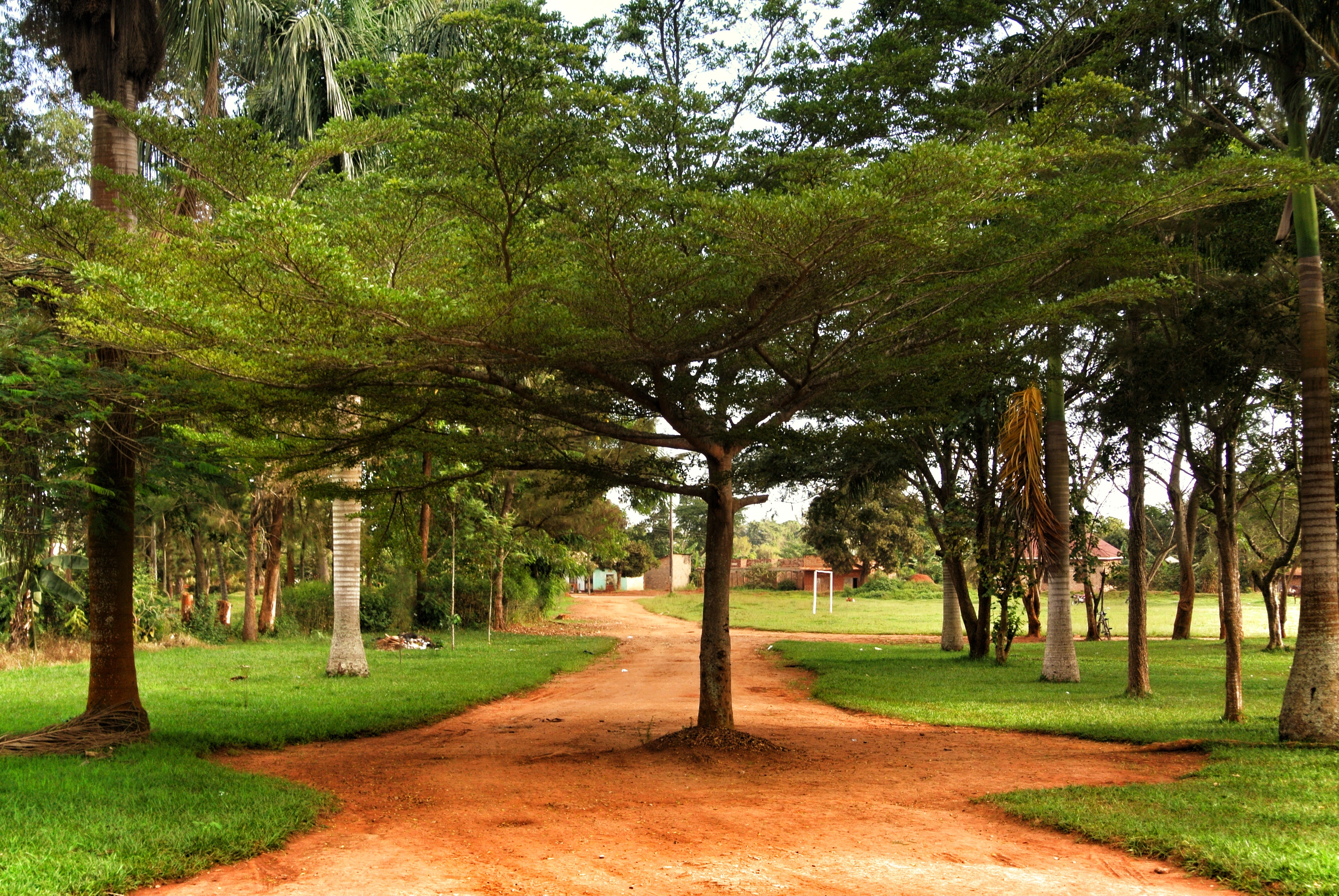
Rote Erde - schöner Baum
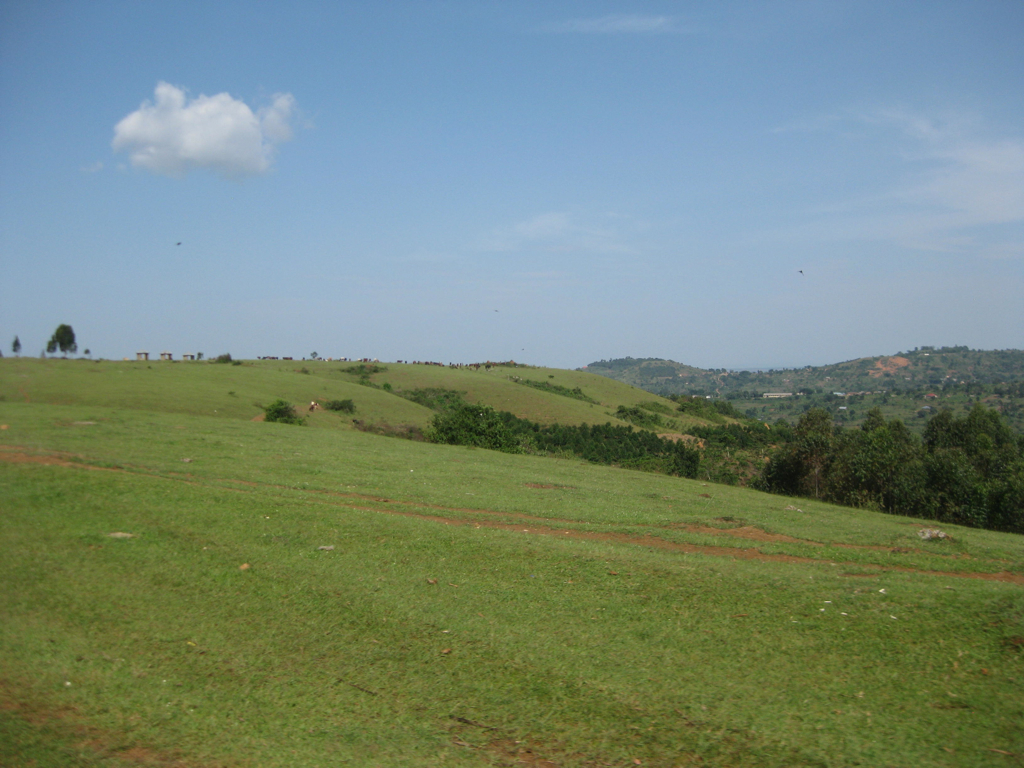
Masaka Prayer Mountain
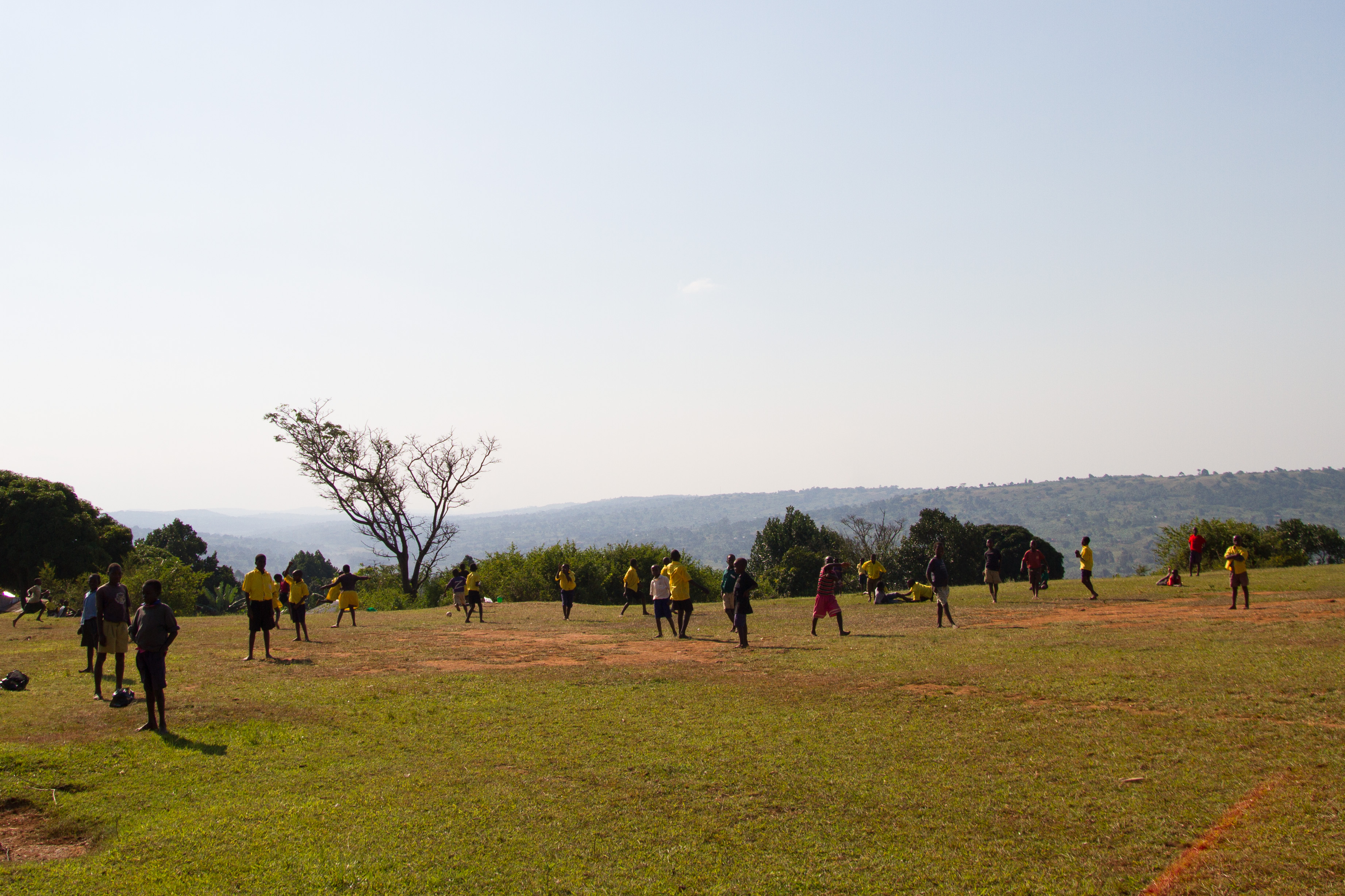
Isaac Newton School #496

Uganda2015-2929
Uganda2015-2585
Topographic Map of Masaka, Uganda
Find elevation by address:

Places near Masaka, Uganda:
Recent Searches:
- Elevation of 10 Mountain Laurels Dr, Nashua, NH, USA
- Elevation of 16 Gilboa Ln, Nashua, NH, USA
- Elevation of Laurel Rd, Townsend, TN, USA
- Elevation of 3 Nestling Wood Dr, Long Valley, NJ, USA
- Elevation of Ilungu, Tanzania
- Elevation of Yellow Springs Road, Yellow Springs Rd, Chester Springs, PA, USA
- Elevation of Rēzekne Municipality, Latvia
- Elevation of Plikpūrmaļi, Vērēmi Parish, Rēzekne Municipality, LV-, Latvia
- Elevation of 2 Henschke Ct, Caboolture QLD, Australia
- Elevation of Redondo Ave, Long Beach, CA, USA