Elevation of Marys Pond, Rochester, MA, USA
Location: United States > Massachusetts > Plymouth County > Rochester >
Longitude: -70.789696
Latitude: 41.7557735
Elevation: 8m / 26feet
Barometric Pressure: 101KPa
Elevation Map:
Satellite Map:
Related Photos:
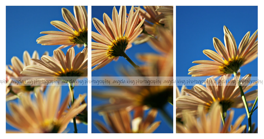
Autumn daisies

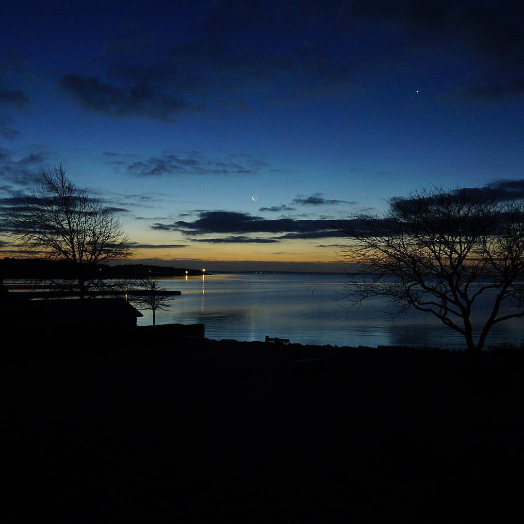
Sunlight on the Waterfront

View 1,045
View from the last leg
Another View

Ned's Point Lighthouse, Mattapoisett, Massachusetts

Igreja de Santo Antonio de Pádua (Lisboa)
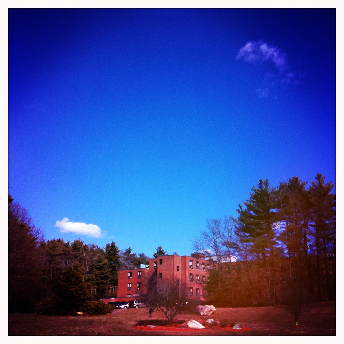
New Bedford Rehabilitation Hospital

Quittacas water treatment plant

Another view from below

294/365 - Lincoln Visits the Troops

The Robber Fly
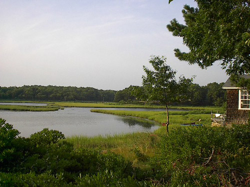
cove view.JPG
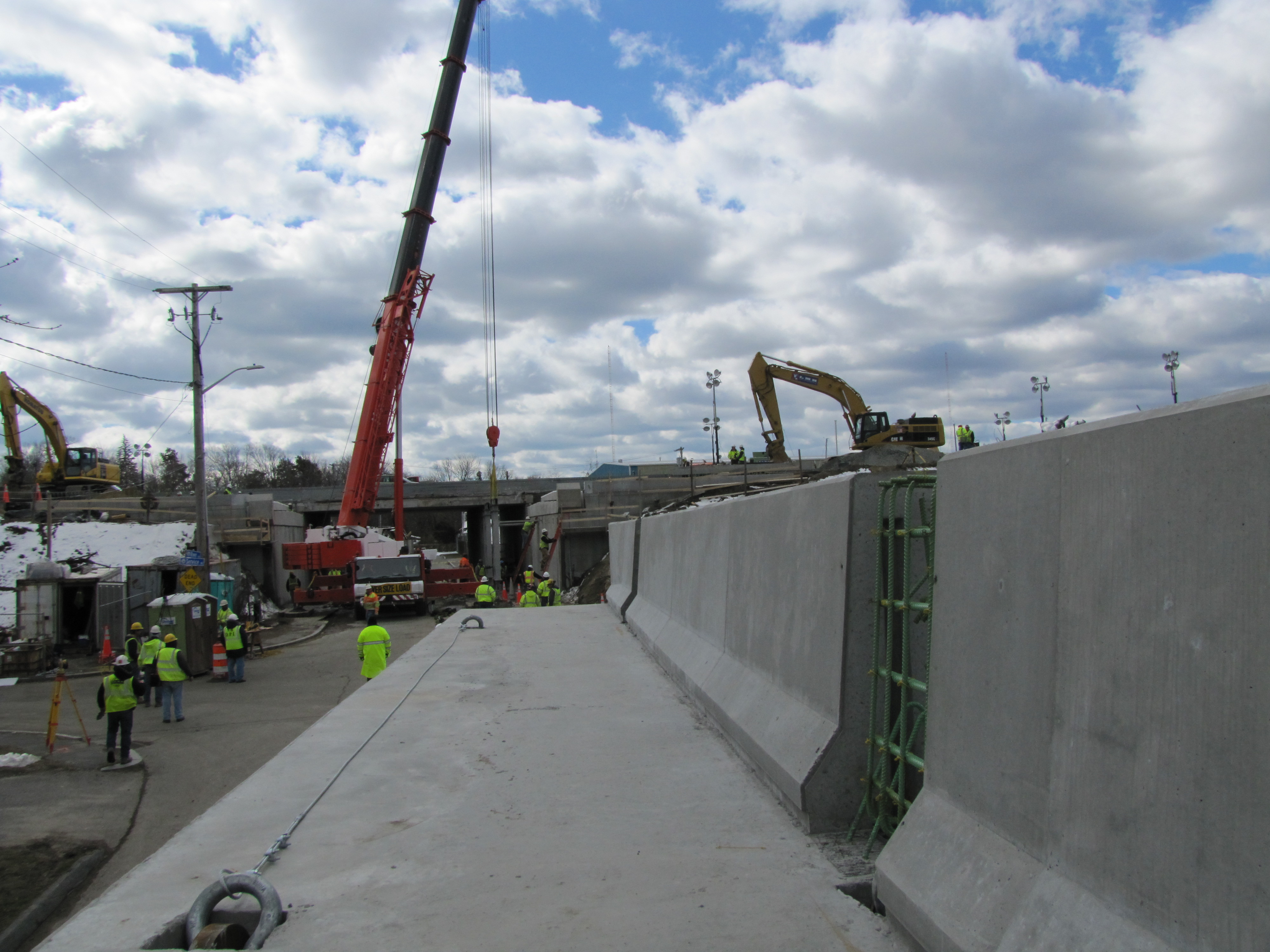
Fairhaven, I-195 over River Avenue, March 23, 2013

Chuck Hauck's Tiny City

Aerial Angels
GMG01384DG.jpg

Enjoying the view

Burning leaves....

Example of Aerovox Air Data taken from June 8, 2011
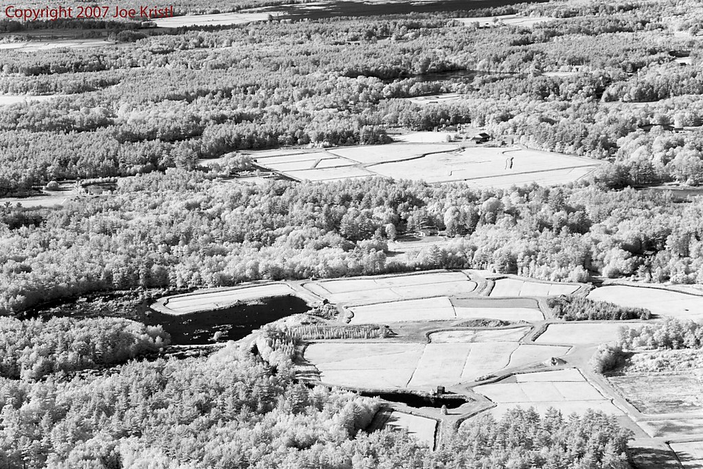
Cranberry Bogs

The Pink Hour / L'Heure Rose
There's No Place Like...

The Break Area

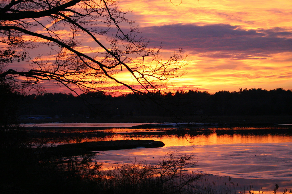
Summer Sunset

The 'Cushenaian' Sunset
The Way Out is Through

Sunset on Hamlin's Pond
East Head Pond

Sunset Airburst
Good morning, Shipyard Park. March

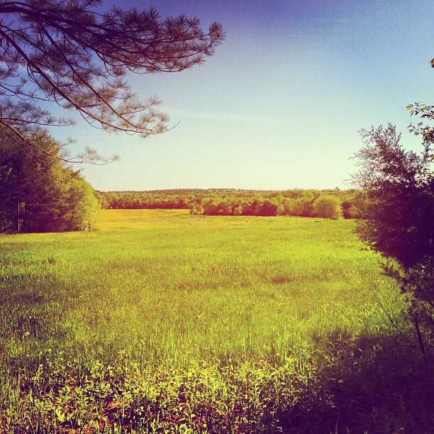
The Ethereal Field
No beach picnic today

Golden Sunset
Sun Setting on Hamlin's Pond
The Acushnet River
Makepeace Farms, Wareham

Monumental Sunset

Good morning, Shipyard Park. February 21, 2015
Good morning, Shipyard Park! January 8, 2016
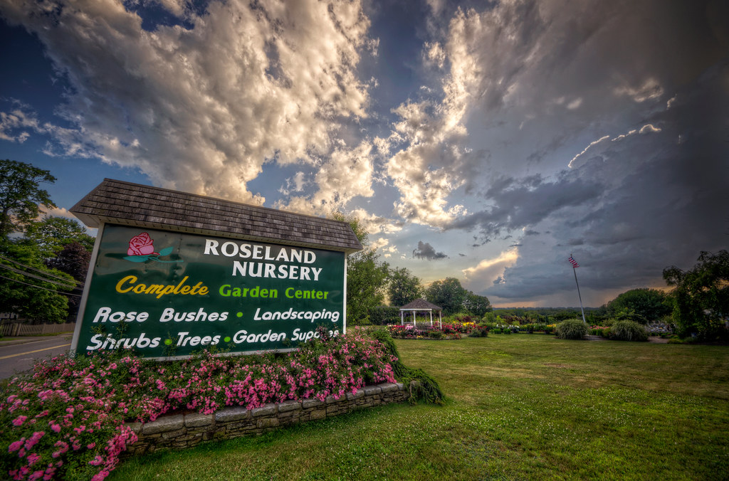
Sunset at Roseland Nursery

Waterfire, Cachalot-Style
Topographic Map of Marys Pond, Rochester, MA, USA
Find elevation by address:

Places near Marys Pond, Rochester, MA, USA:
The Ansel S. Gurney House
Leonards Pond
301 County Rd
East Over Farms
Hiller Road
656 County Rd
43 County Rd
10 Pumping Station Rd
14 Donna Rd
448 Front St
4 Pierceville Rd
4 Bisbee St
80 Mendell Rd
18 Pine Hill Ln
6 Union Church Terrace
53 Rose Point Ave
West Wareham
40 Gault Rd
24 Randall Rd
17 Hermitage Rd
Recent Searches:
- Elevation of Tenjo, Cundinamarca, Colombia
- Elevation of Côte-des-Neiges, Montreal, QC H4A 3J6, Canada
- Elevation of Bobcat Dr, Helena, MT, USA
- Elevation of Zu den Ihlowbergen, Althüttendorf, Germany
- Elevation of Badaber, Peshawar, Khyber Pakhtunkhwa, Pakistan
- Elevation of SE Heron Loop, Lincoln City, OR, USA
- Elevation of Slanický ostrov, 01 Námestovo, Slovakia
- Elevation of Spaceport America, Co Rd A, Truth or Consequences, NM, USA
- Elevation of Warwick, RI, USA
- Elevation of Fern Rd, Whitmore, CA, USA