Elevation of Maryland Township, IL, USA
Location: United States > Illinois > Ogle County >
Longitude: -89.493117
Latitude: 42.1759089
Elevation: 235m / 771feet
Barometric Pressure: 99KPa
Elevation Map:
Satellite Map:
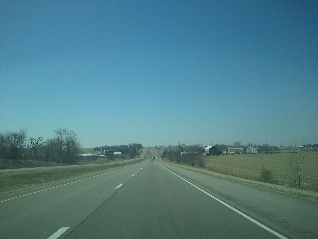
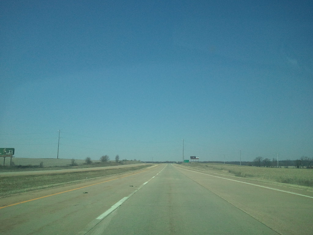
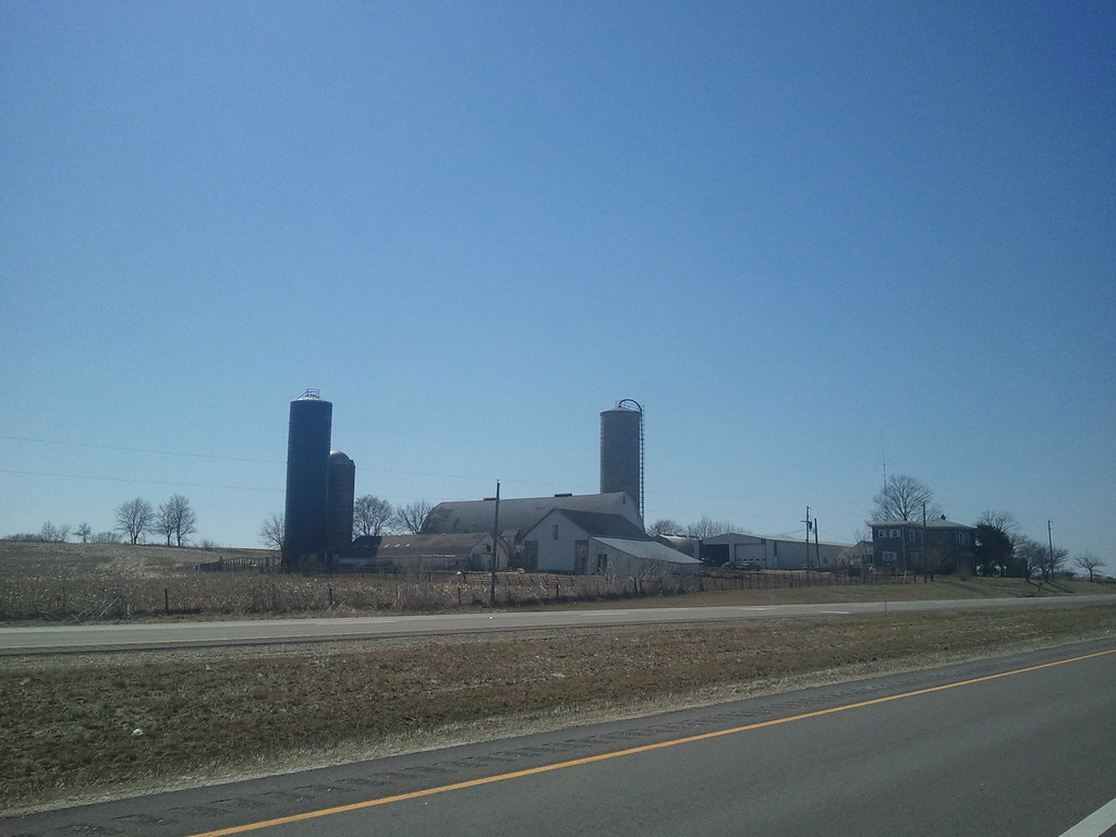
Related Photos:

Reflection of Bygone Era

Red Oval Barn
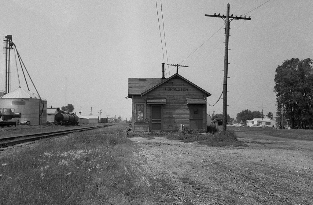
Illinois Central Depot, Forreston, Illinois
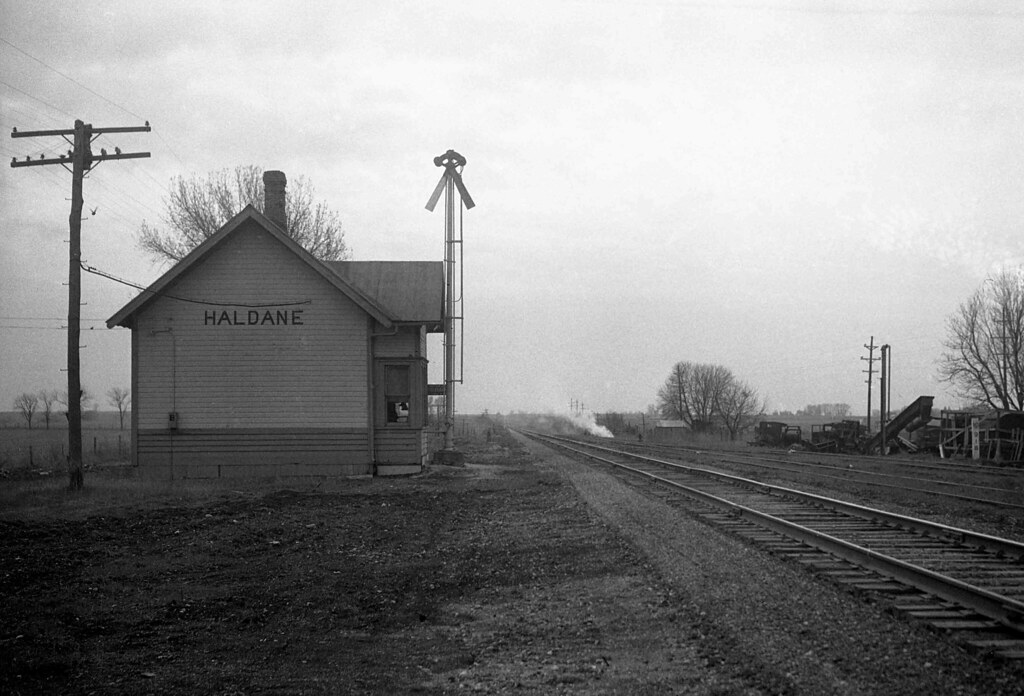
Illinois Central Depot, Haldane, Illinois
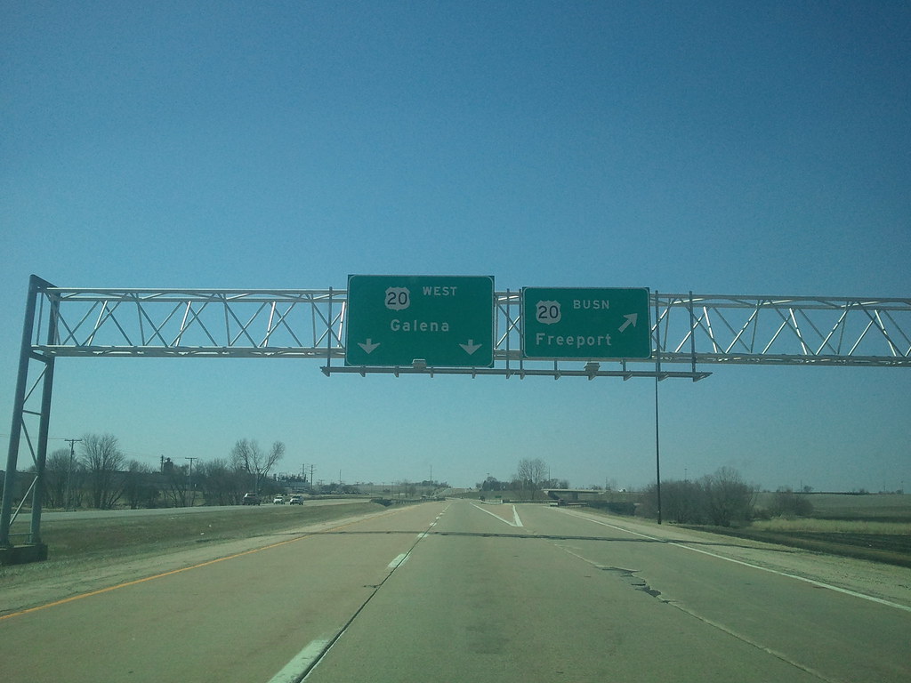
Freeport, IL
Intersection of Montague and Rock City

"To God Be The Glory" Barn, View 1
2011-03-30 13.42.38
Am I Missing Something?

Illinois Central Depot, Forreston, Illinois
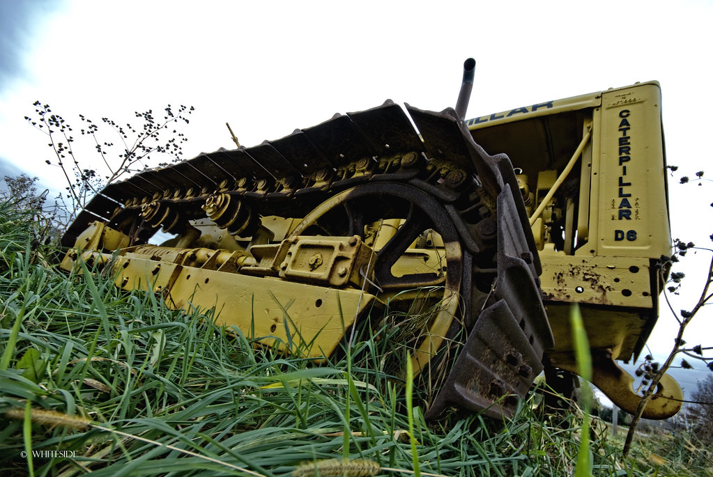
Layed to Rest
2011-03-30 13.38.33
2011-03-30 13.38.56
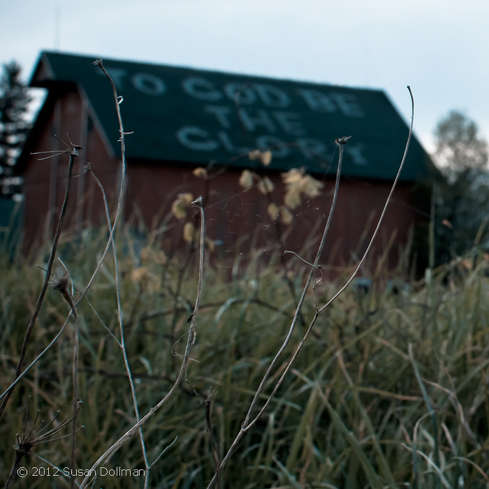
"To God Be The Glory" Barn, View 2

Leaf River
2011-03-30 13.43.43
2011-03-30 13.38.13
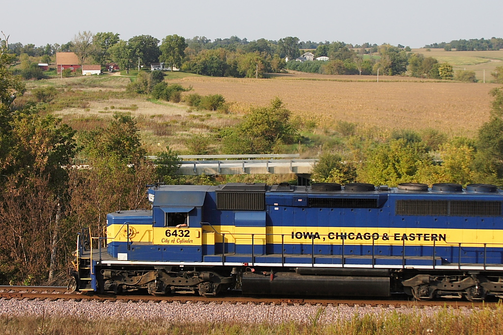
IC&E Sept. 27, 2008 at Adeline
2011-03-30 13.35.59
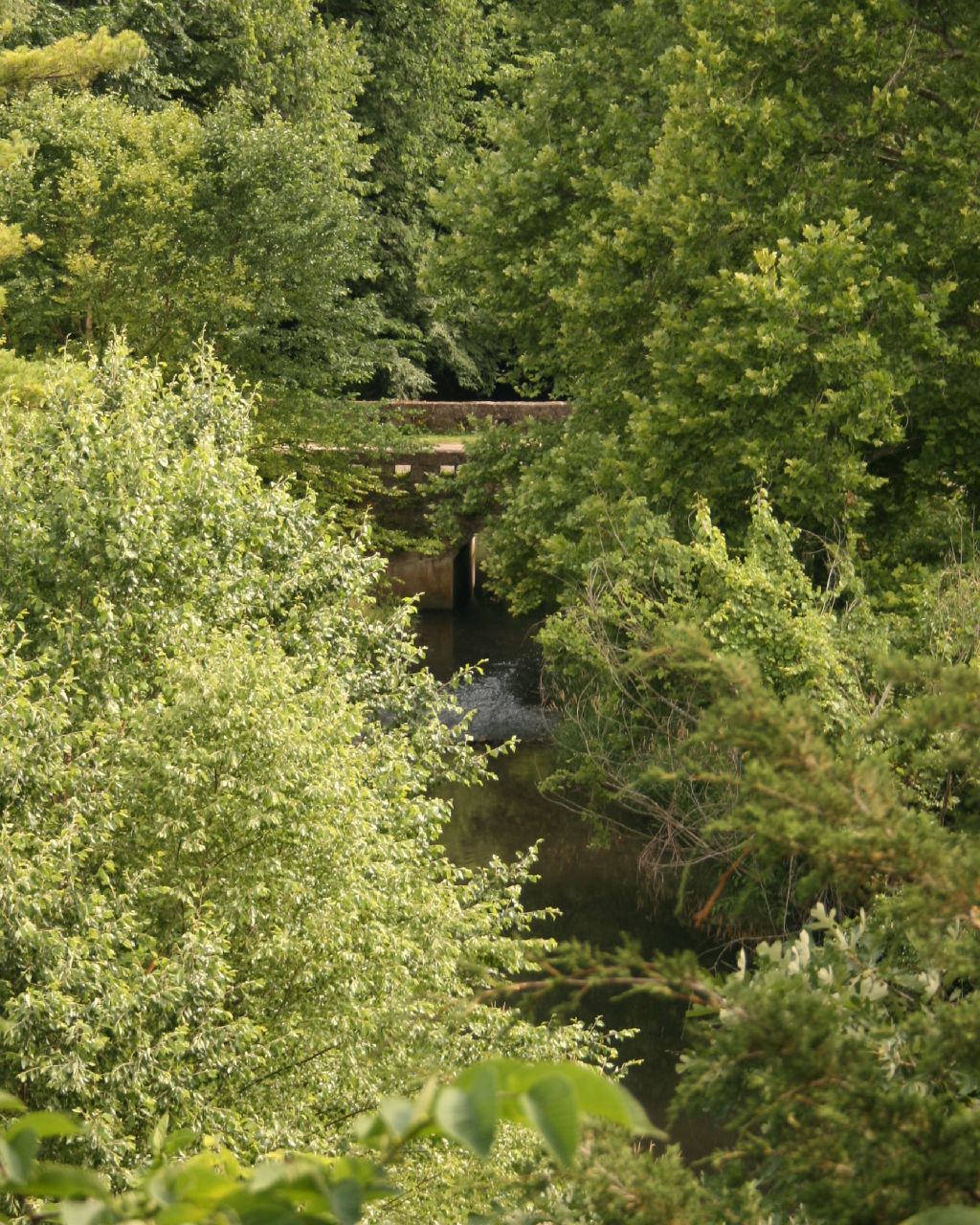
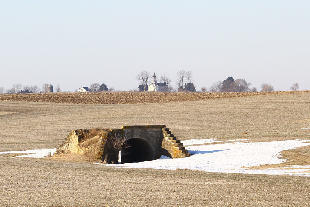
Bridge - viewed from afar

2011-03-30 13.36.14
Topographic Map of Maryland Township, IL, USA
Find elevation by address:

Places in Maryland Township, IL, USA:
Places near Maryland Township, IL, USA:
Adeline
N Main St, Leaf River, IL, USA
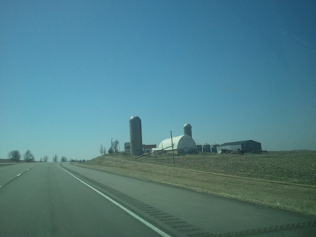
10316 N Mulberry Rd
N Main St, Leaf River, IL, USA
Leaf River
Leaf River Township
Main St, Polo, IL, USA
Mount Morris Township
Mount Morris
N McKendrie Ave, Mt Morris, IL, USA
Lincoln Township
503 E Brayton Rd
Forreston Township
S Lowell Park Rd, Polo, IL, USA
Rockvale Township
Brookville Township
Pine Creek Township
1653 N Sauk Trail
Polo
Oregon
Recent Searches:
- Elevation of W Granada St, Tampa, FL, USA
- Elevation of Pykes Down, Ivybridge PL21 0BY, UK
- Elevation of Jalan Senandin, Lutong, Miri, Sarawak, Malaysia
- Elevation of Bilohirs'k
- Elevation of 30 Oak Lawn Dr, Barkhamsted, CT, USA
- Elevation of Luther Road, Luther Rd, Auburn, CA, USA
- Elevation of Unnamed Road, Respublika Severnaya Osetiya — Alaniya, Russia
- Elevation of Verkhny Fiagdon, North Ossetia–Alania Republic, Russia
- Elevation of F. Viola Hiway, San Rafael, Bulacan, Philippines
- Elevation of Herbage Dr, Gulfport, MS, USA