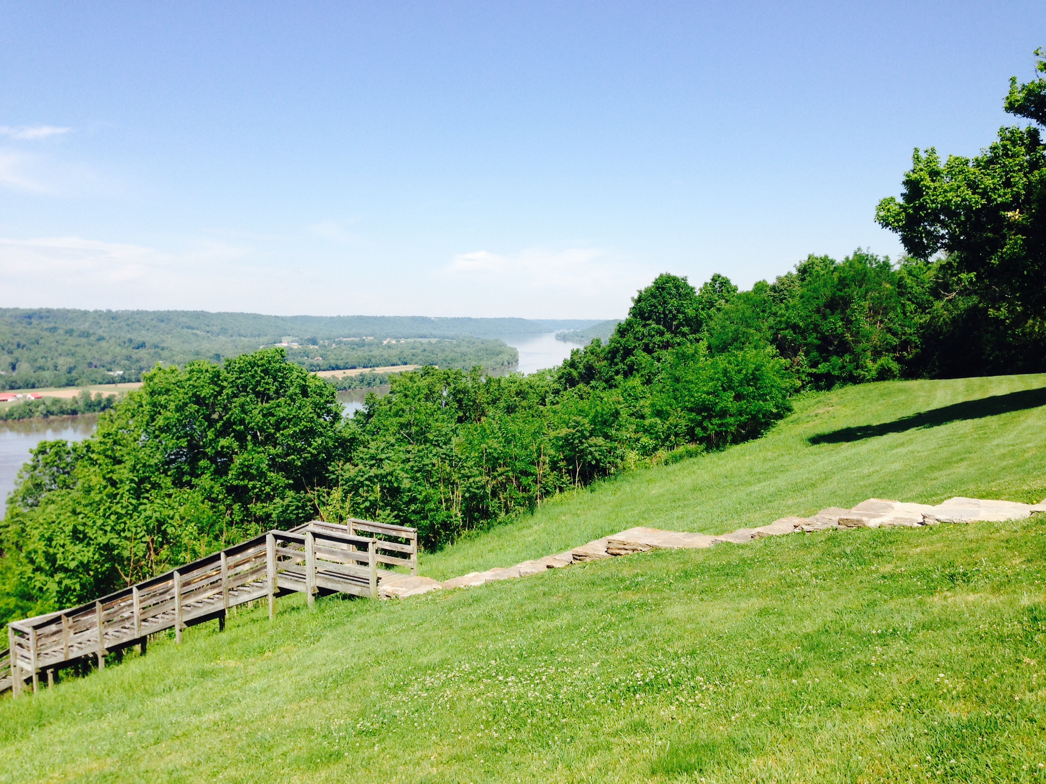
Elevation of Mary Ingles Hwy, Dover, KY, USA
Location: United States > Kentucky > Mason County > Dover >
Longitude: -83.854019
Latitude: 38.741354
Elevation: 156m / 512feet
Barometric Pressure: 99KPa
Elevation Map:
Satellite Map:
Related Photos:
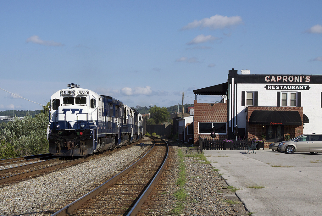
TTI 5819capronis

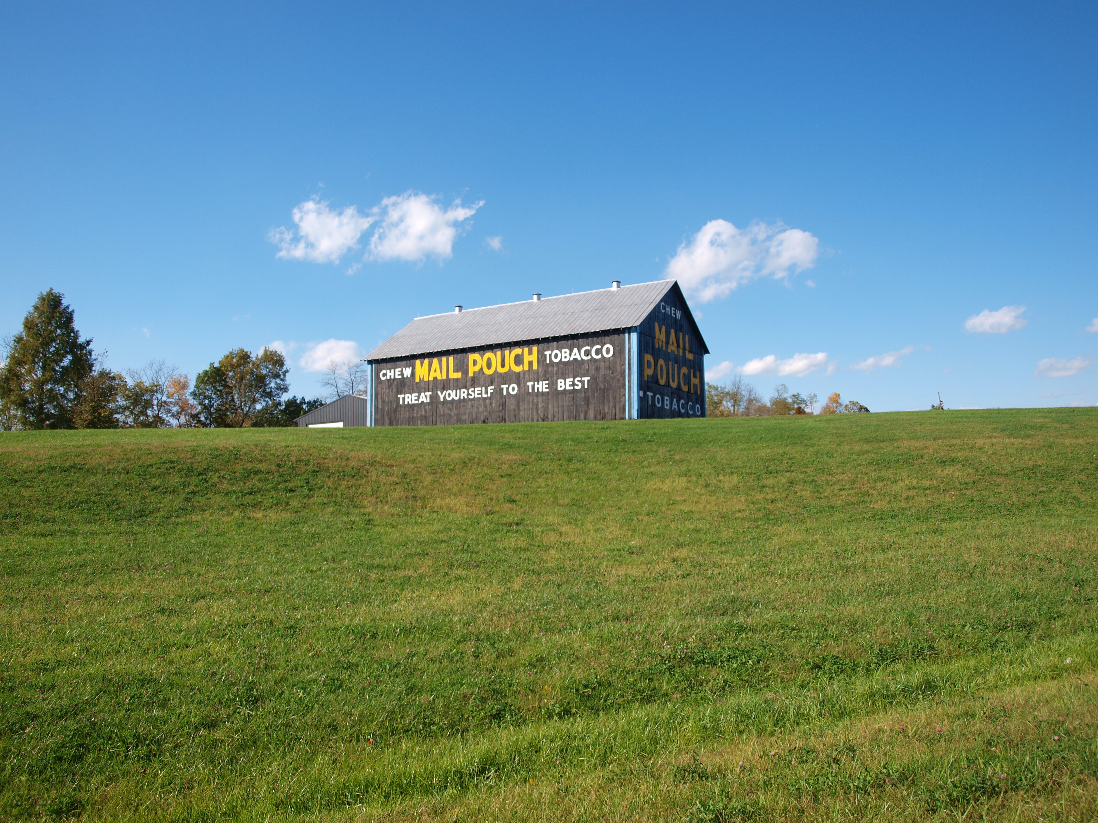
Some Rock City barns do not change for many decades
Backwards We Go
A Taste Of Maysville
Fishing Gut Creek Valley
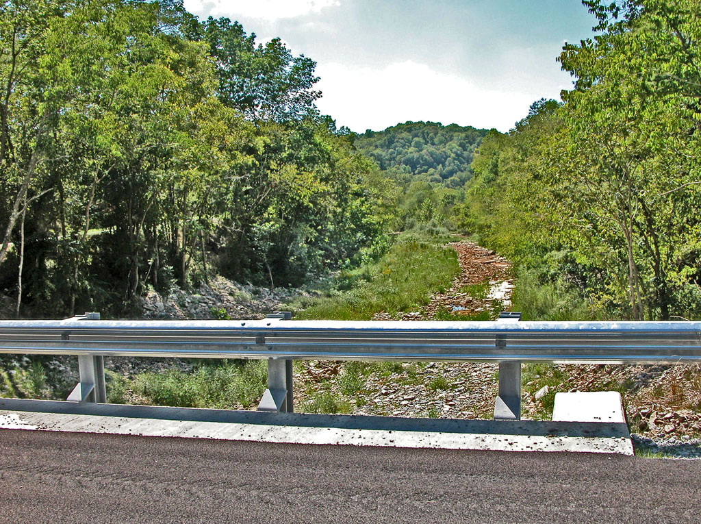
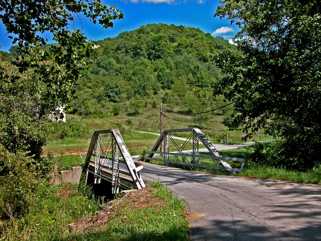
View From a New Bridge

Maysville Limestone Kentucky

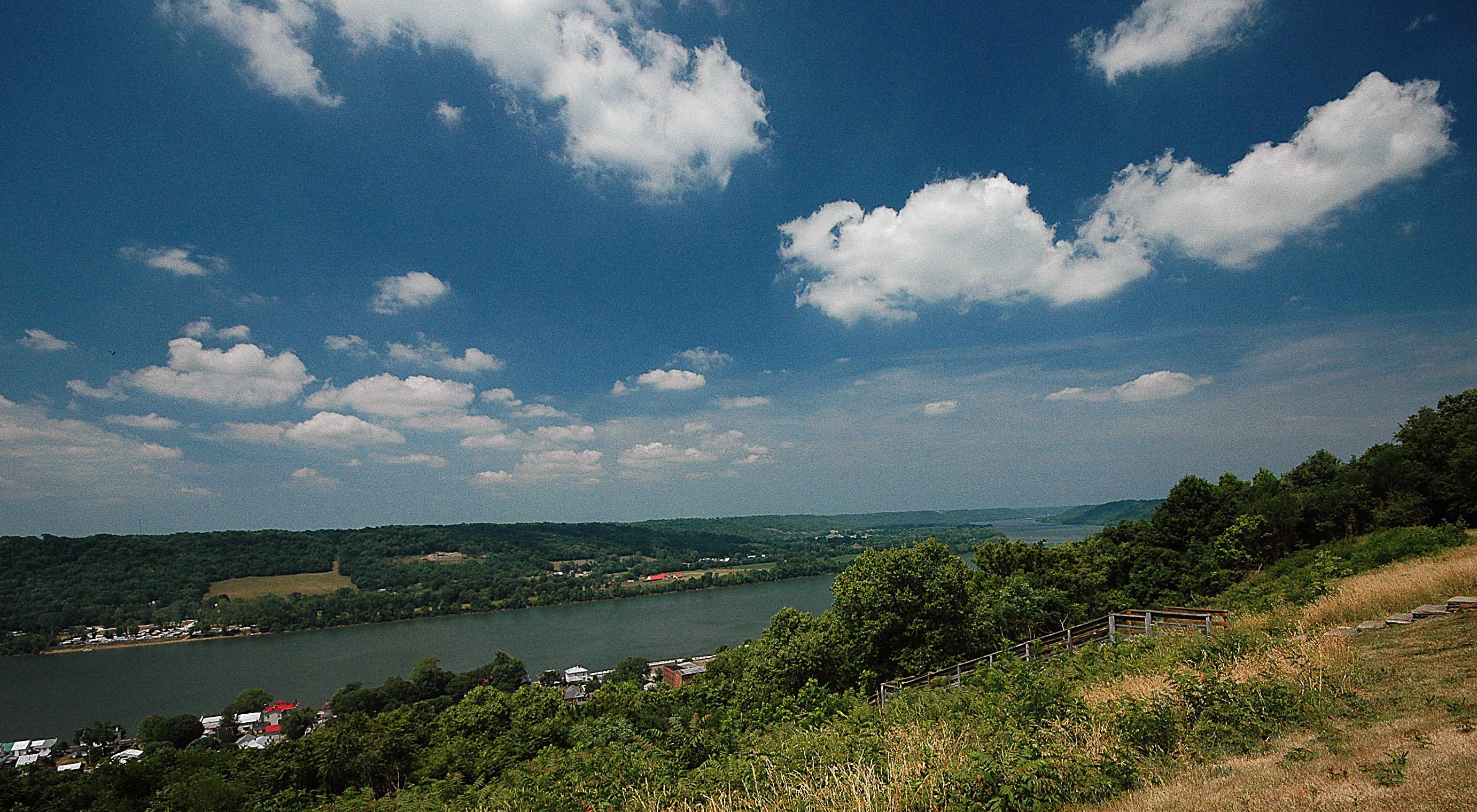
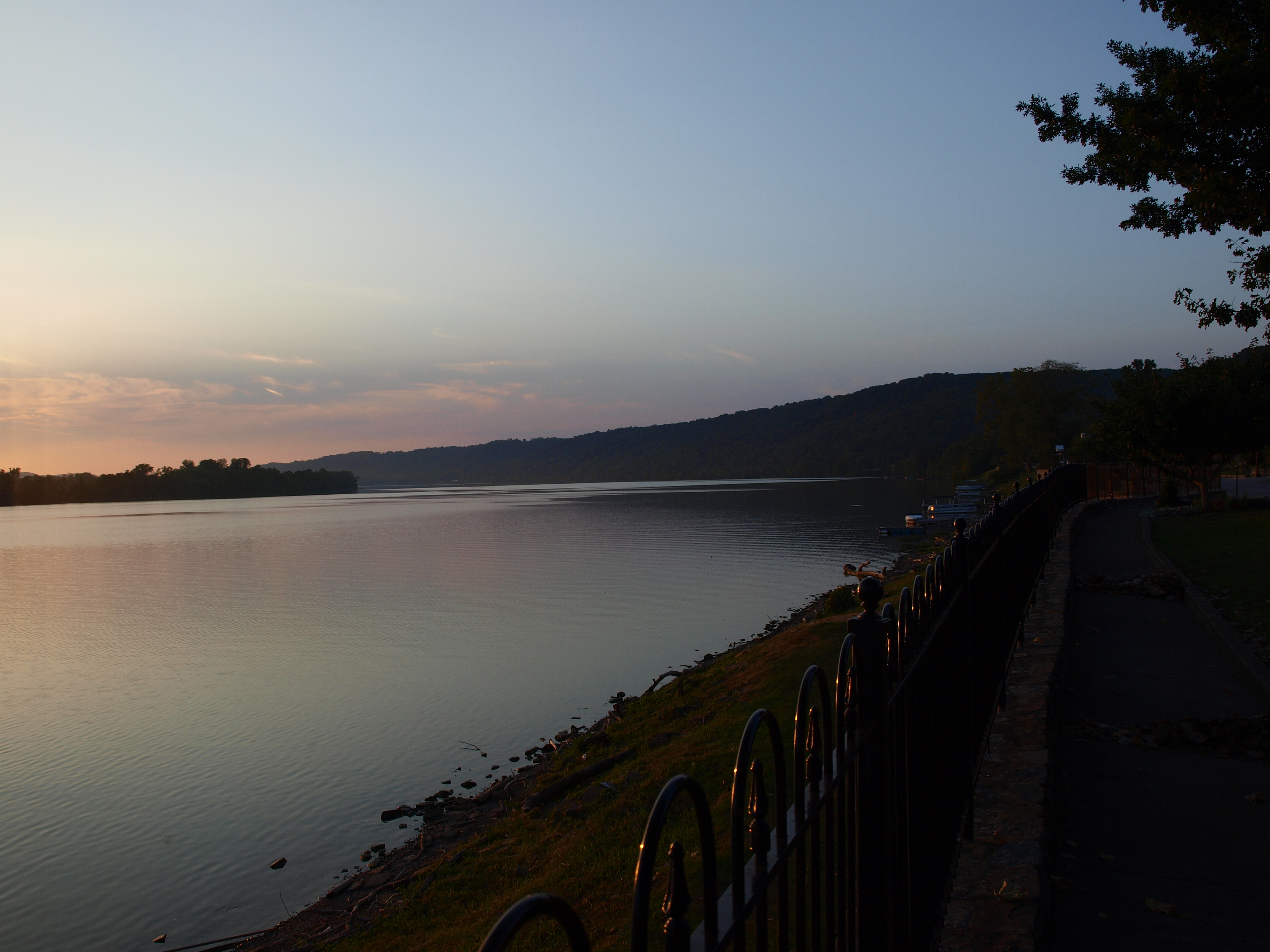
Ohio River- View of Maysville, KY
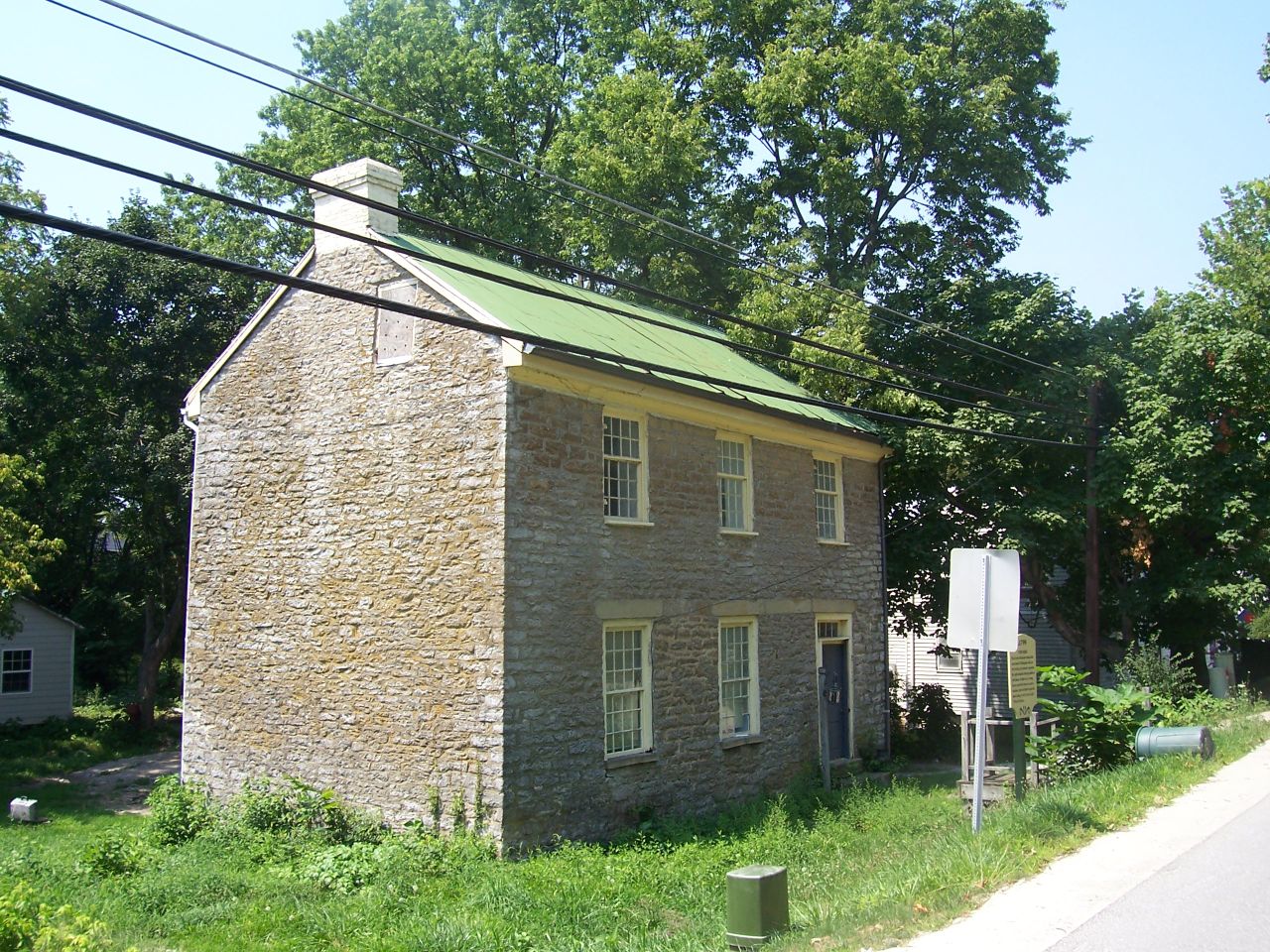
Day 4k Old Washington Stone House 2

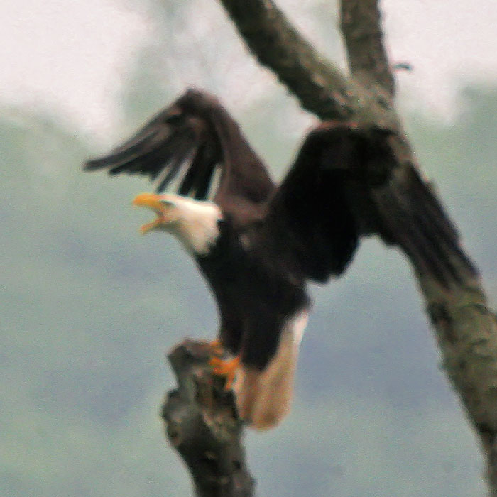
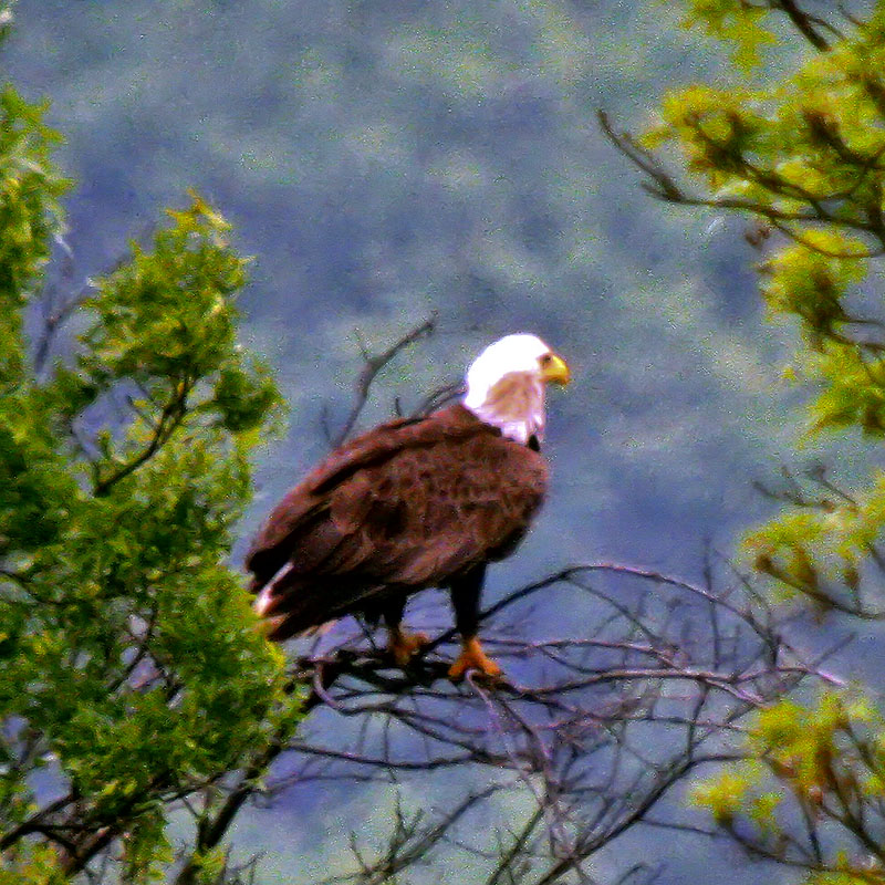
BALD EAGLE
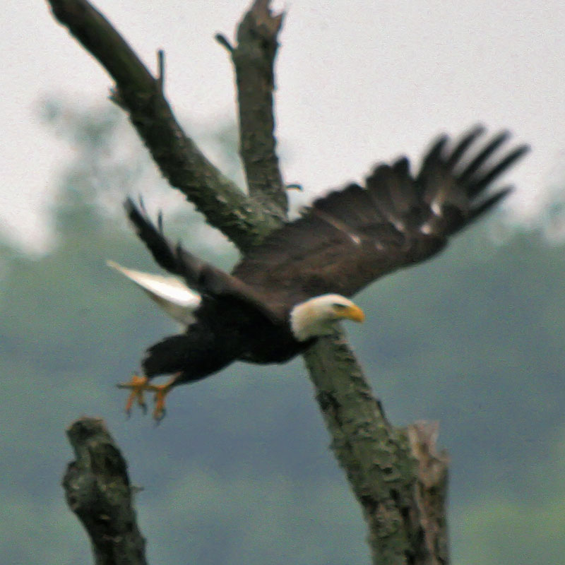
BALD EAGLE

Street level view of a Rock City Barn
John Rankin National Historic Site - Ripley, Ohio

Neel, Ohio- Eagle Chapel Schoolhouse
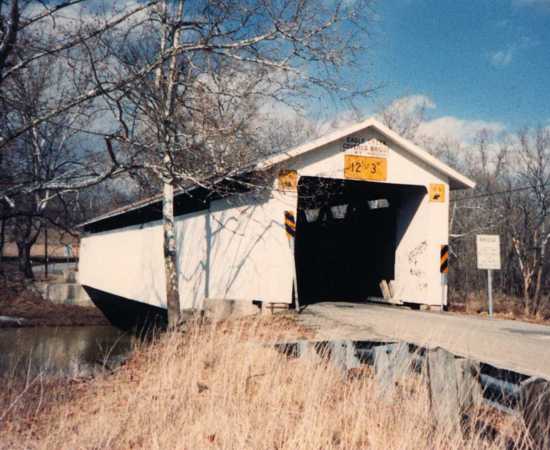
Eagle Creek Bridge, Brown County, Ohio 35-08-18

BALD EAGLE & 3 EAGLETS
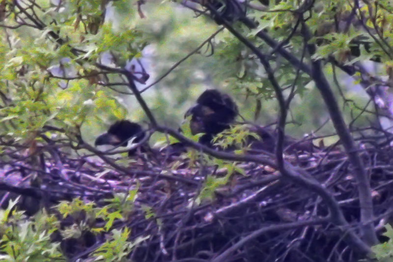
3 EAGLETS ON THE NEST
BALD EAGLE - MOBBED BY CROWS
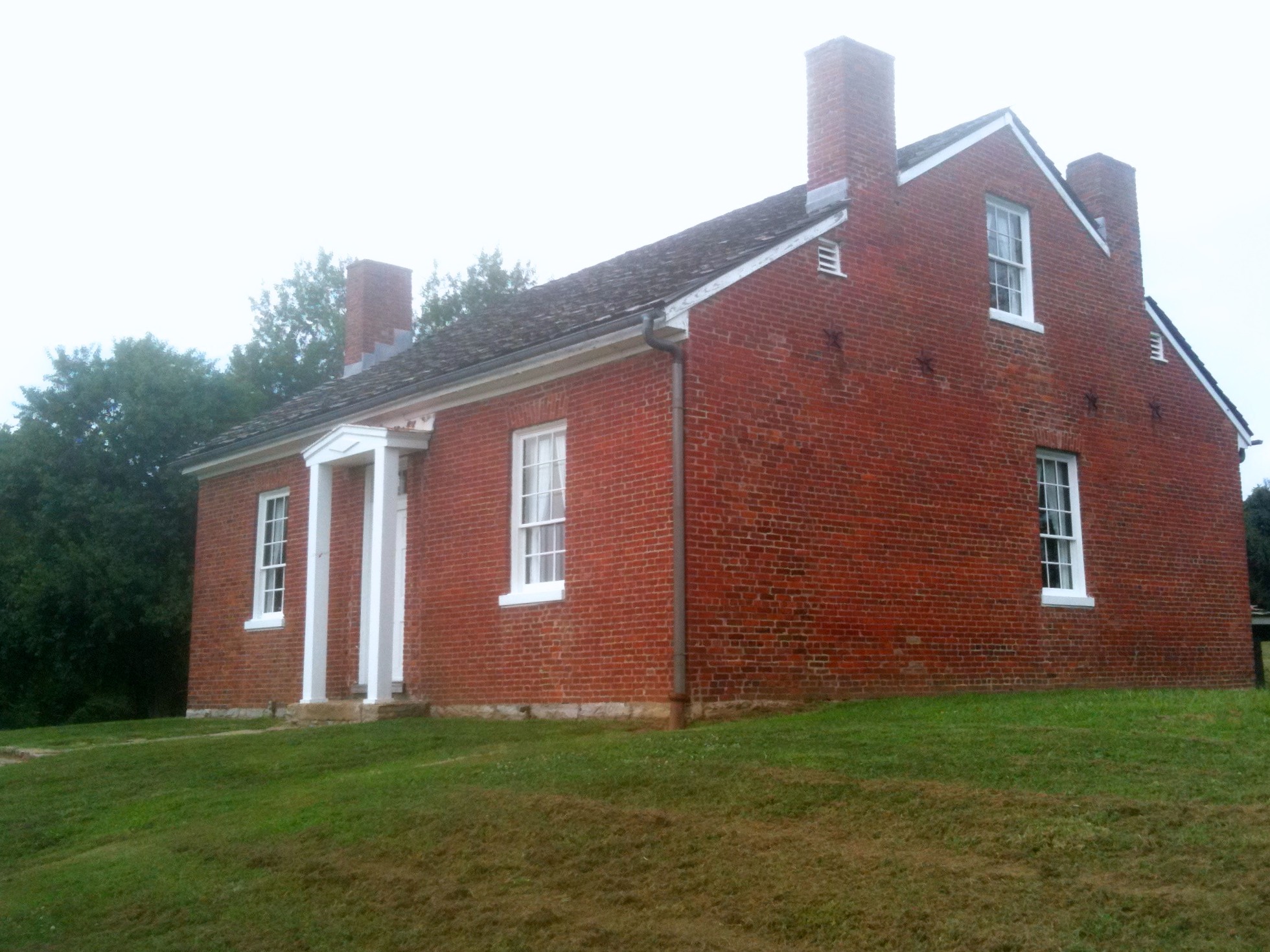
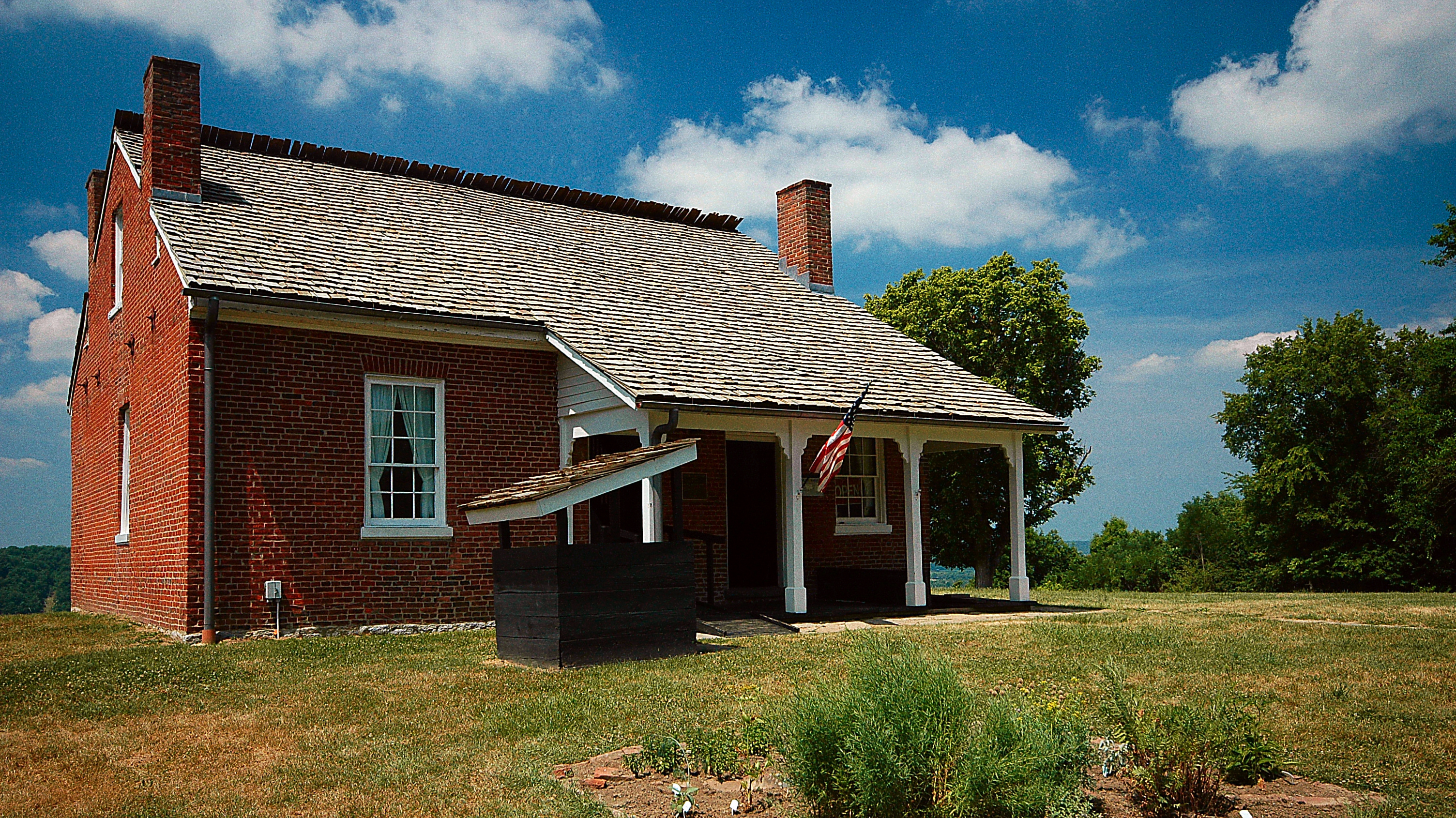
The Rankin House: Ripley Ohio
BALD EAGLE

Ohio River, Ripley (Ohio), 19 July 2005
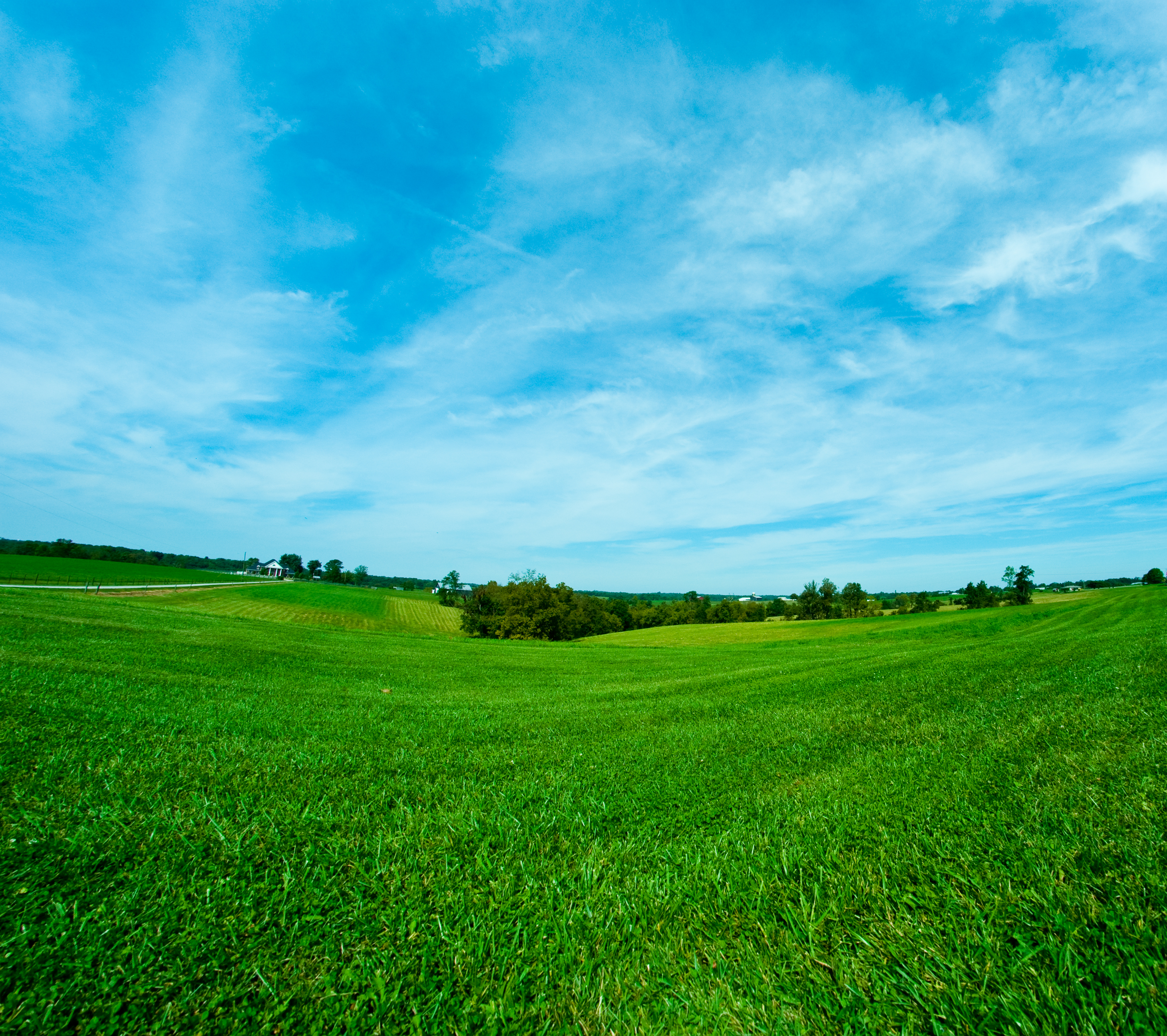
Country Field.

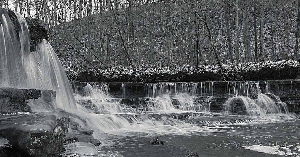
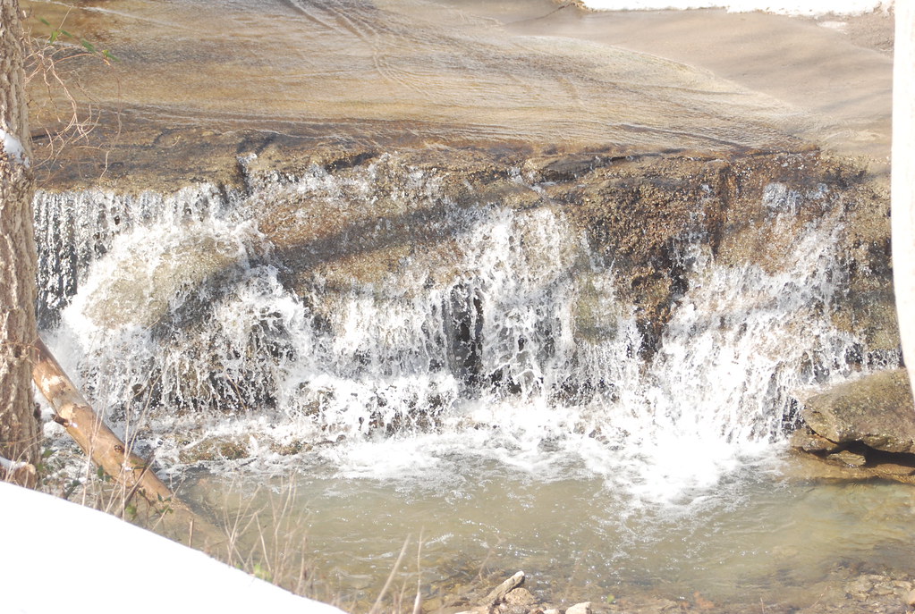
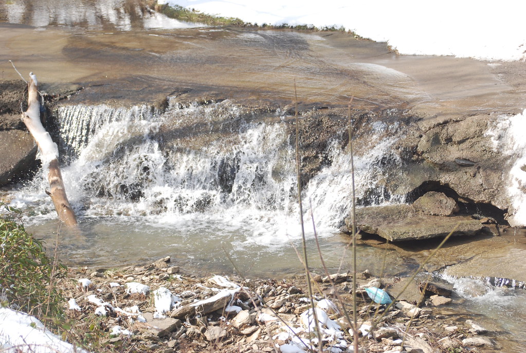
Falls.
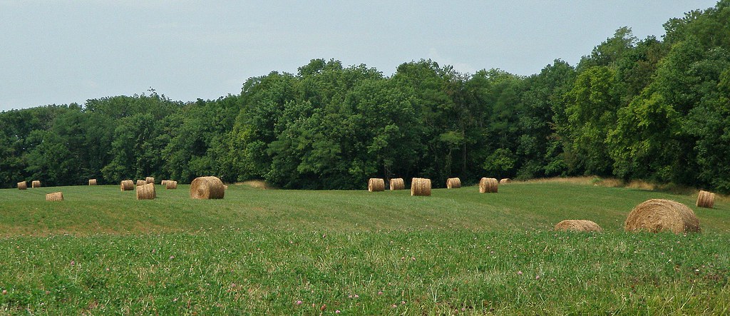
Mason County Farm
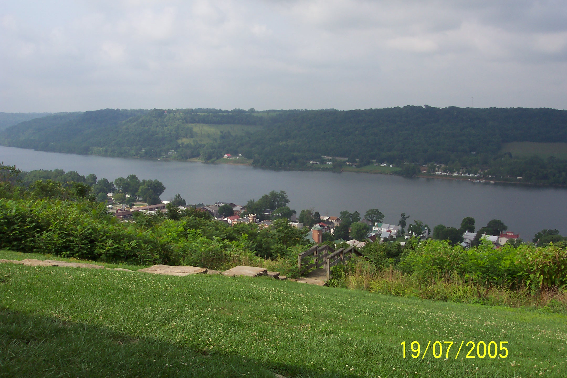
Ohio River, Ripley (Ohio), 19 July 2005
MPB 35-08-06, Brown County, Ohio

Винтовка Мосина
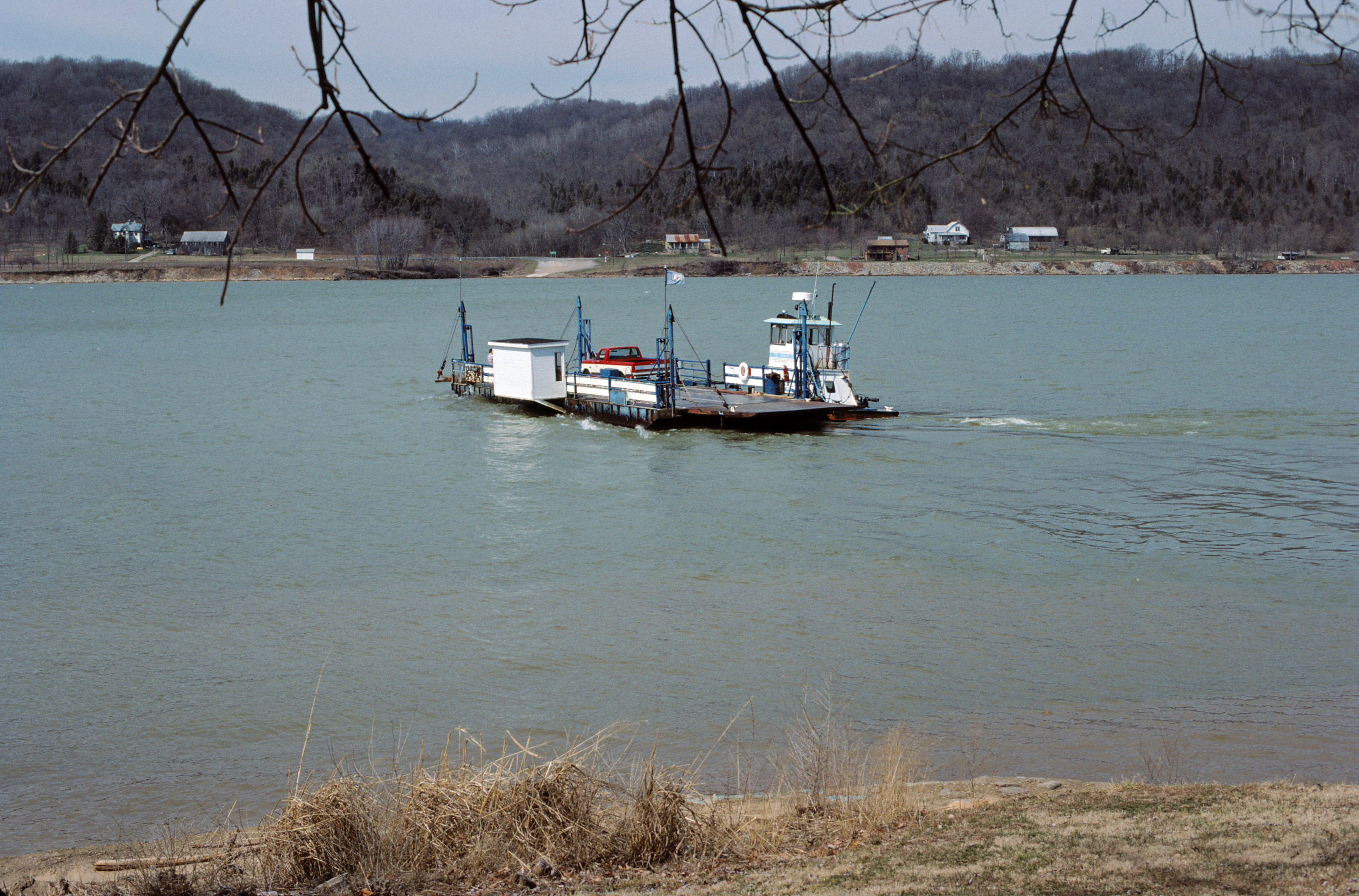
88c169: Augusta Ferry crossing Ohio River from Kentucky to Ohio
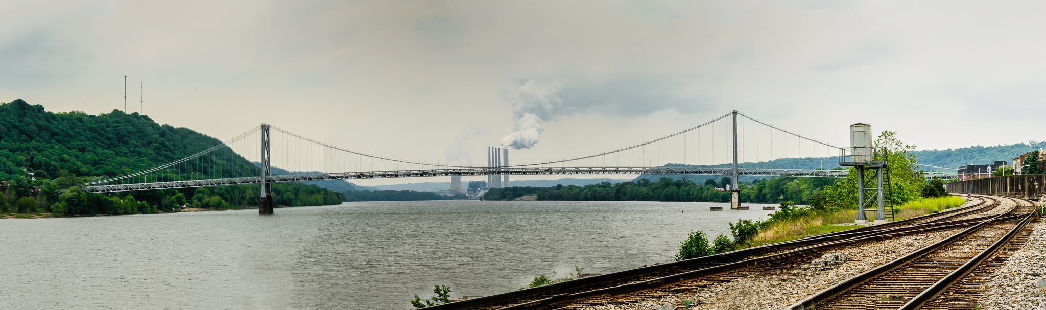
Simon Kenton Memorial Bridge, Maysville Kentucky
Bullskin Creek, Black and White HDR

P5192585.jpg
Hill City Road
Hill City Road

Ohio River
Ohio River from John Rankin Natl. Historic Site - Ripley, Ohio
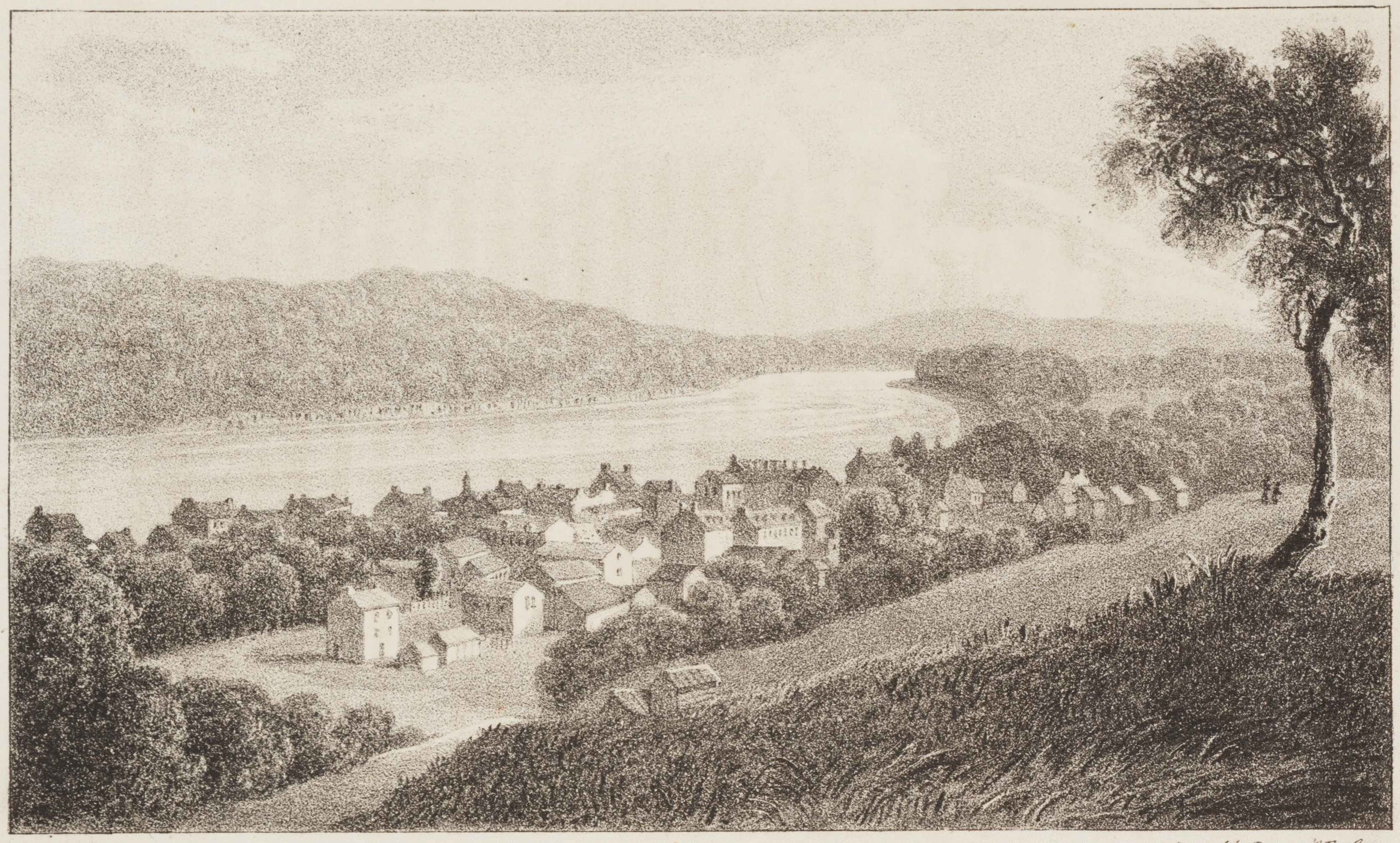
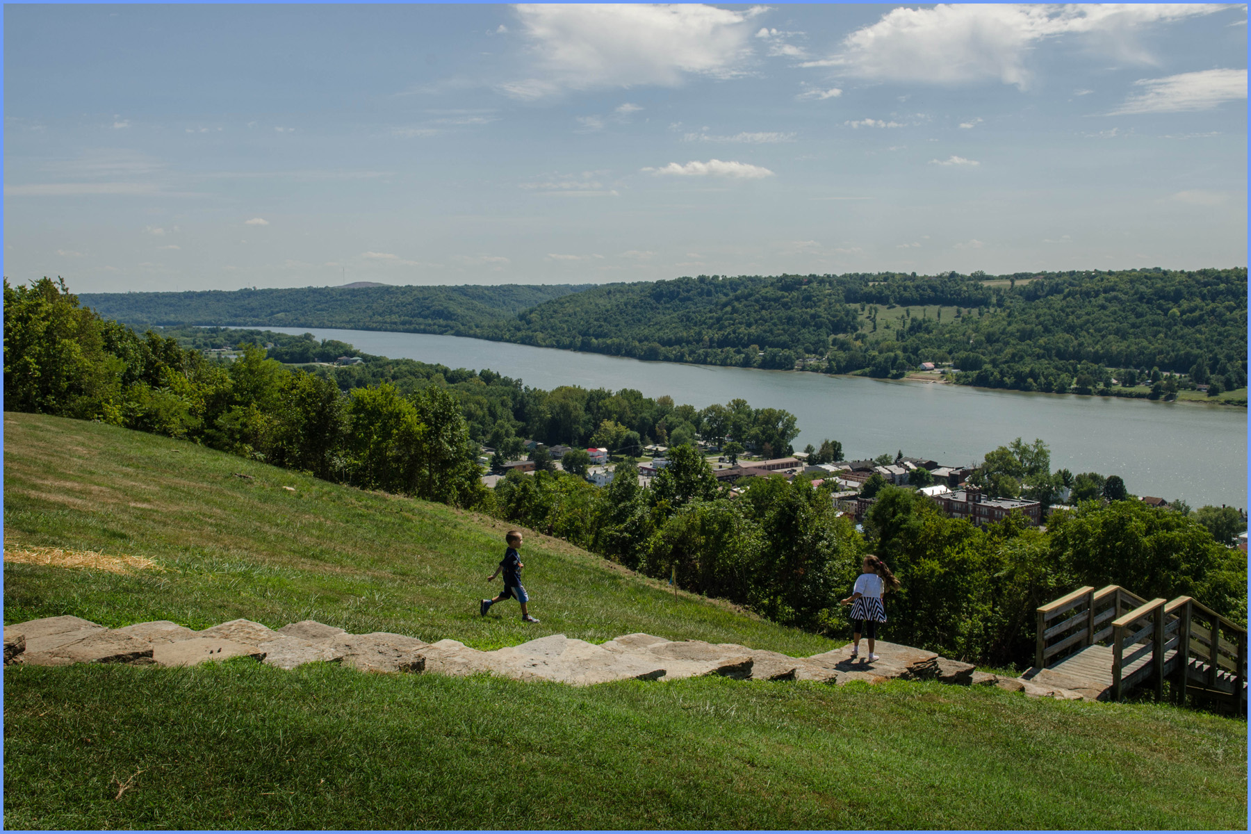
Maysville, on the Ohio, Kentucky
Ohio River at sunset, Ripley, Ohio
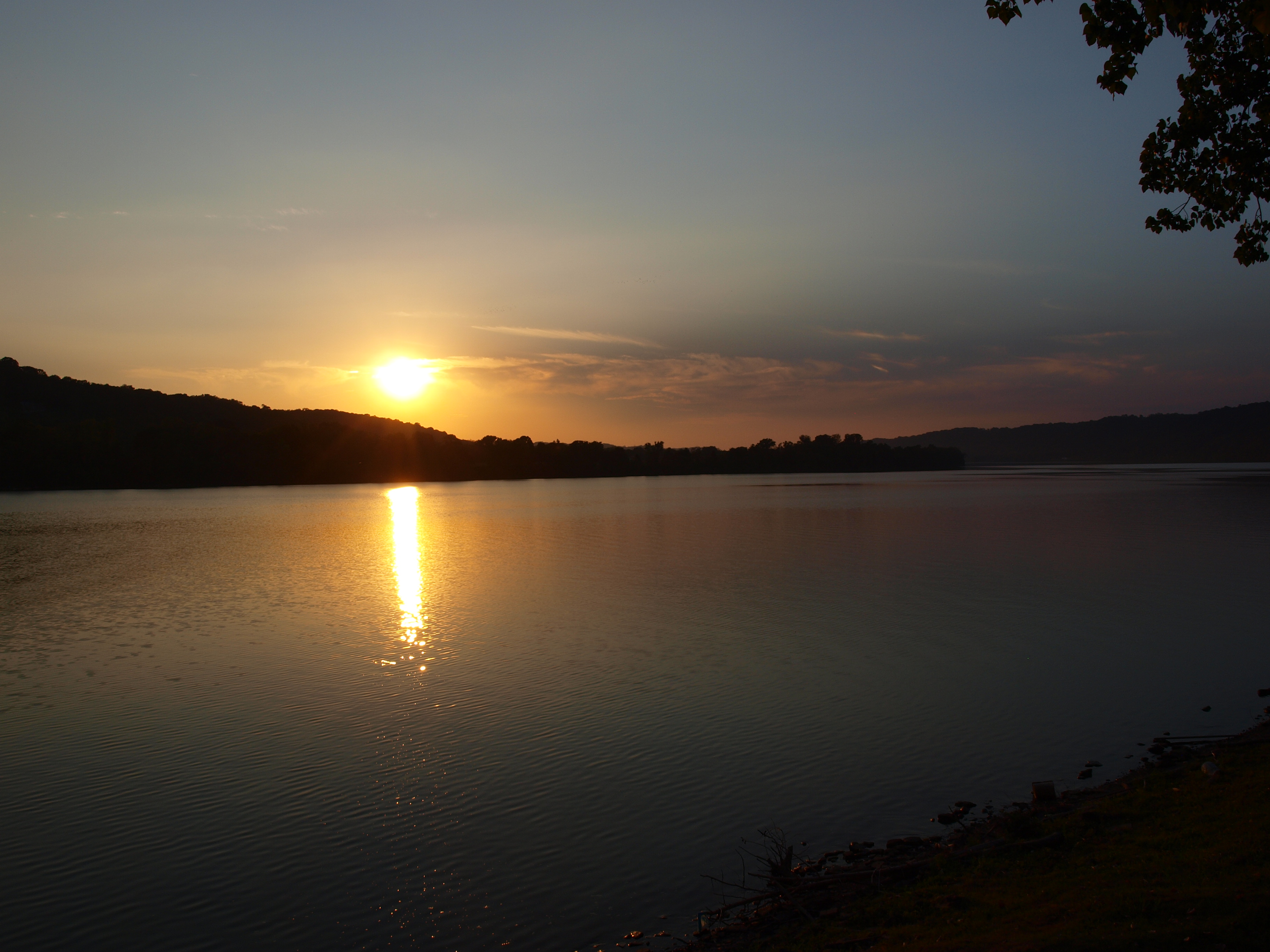
Ohio River at sunset, Ripley, Ohio
Swisher Family Reunion 2014
Ohio River in Ripley, Ohio
John Rankin Property - Underground Railroad Station / Ripley, Ohio
Topographic Map of Mary Ingles Hwy, Dover, KY, USA
Find elevation by address:

Places near Mary Ingles Hwy, Dover, KY, USA:
Ripley
Pond Drive
28 Pond Dr
4651 Old Us Hwy 68
Dover
3150 Dover Minerva Rd
Union Township
KY-, Dover, KY, USA
Huntington Township
408 Free Soil Rd
404 W 2nd St
Boone Ave, Maysville, KY, USA
522 Valentine Dr
Aberdeen
Mason County
33 E 2nd St
OH-, Aberdeen, OH, USA
E State St, Georgetown, OH, USA
Georgetown
Old Washington
Recent Searches:
- Elevation of W Granada St, Tampa, FL, USA
- Elevation of Pykes Down, Ivybridge PL21 0BY, UK
- Elevation of Jalan Senandin, Lutong, Miri, Sarawak, Malaysia
- Elevation of Bilohirs'k
- Elevation of 30 Oak Lawn Dr, Barkhamsted, CT, USA
- Elevation of Luther Road, Luther Rd, Auburn, CA, USA
- Elevation of Unnamed Road, Respublika Severnaya Osetiya — Alaniya, Russia
- Elevation of Verkhny Fiagdon, North Ossetia–Alania Republic, Russia
- Elevation of F. Viola Hiway, San Rafael, Bulacan, Philippines
- Elevation of Herbage Dr, Gulfport, MS, USA