Elevation of Martapura, East Ogan Komering Ulu Regency, South Sumatra, Indonesia
Location: Indonesia > South Sumatra > East Ogan Komering Ulu Regency > Martapura >
Longitude: 104.347015
Latitude: -4.3138865
Elevation: 93m / 305feet
Barometric Pressure: 100KPa
Elevation Map:
Satellite Map:
Related Photos:
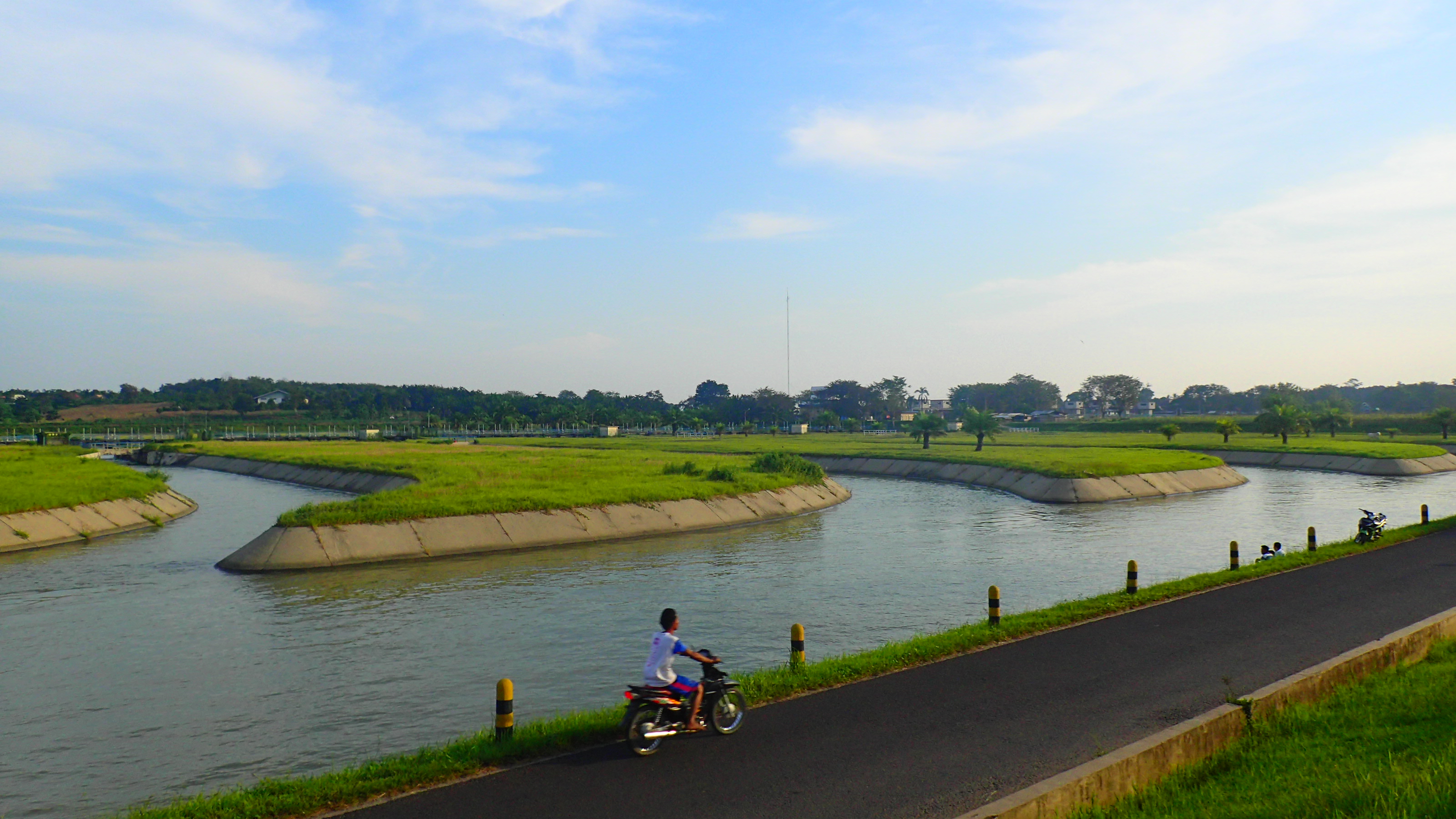
Bendungan Perjaya
Way Tuba-20130404-02686.jpg

new home martapura telp. 081363226446- 081271010469 email. [email protected] #moorlifemartapura #moorlife #martapura #cleomartapura #cidawangmartapura #kanika
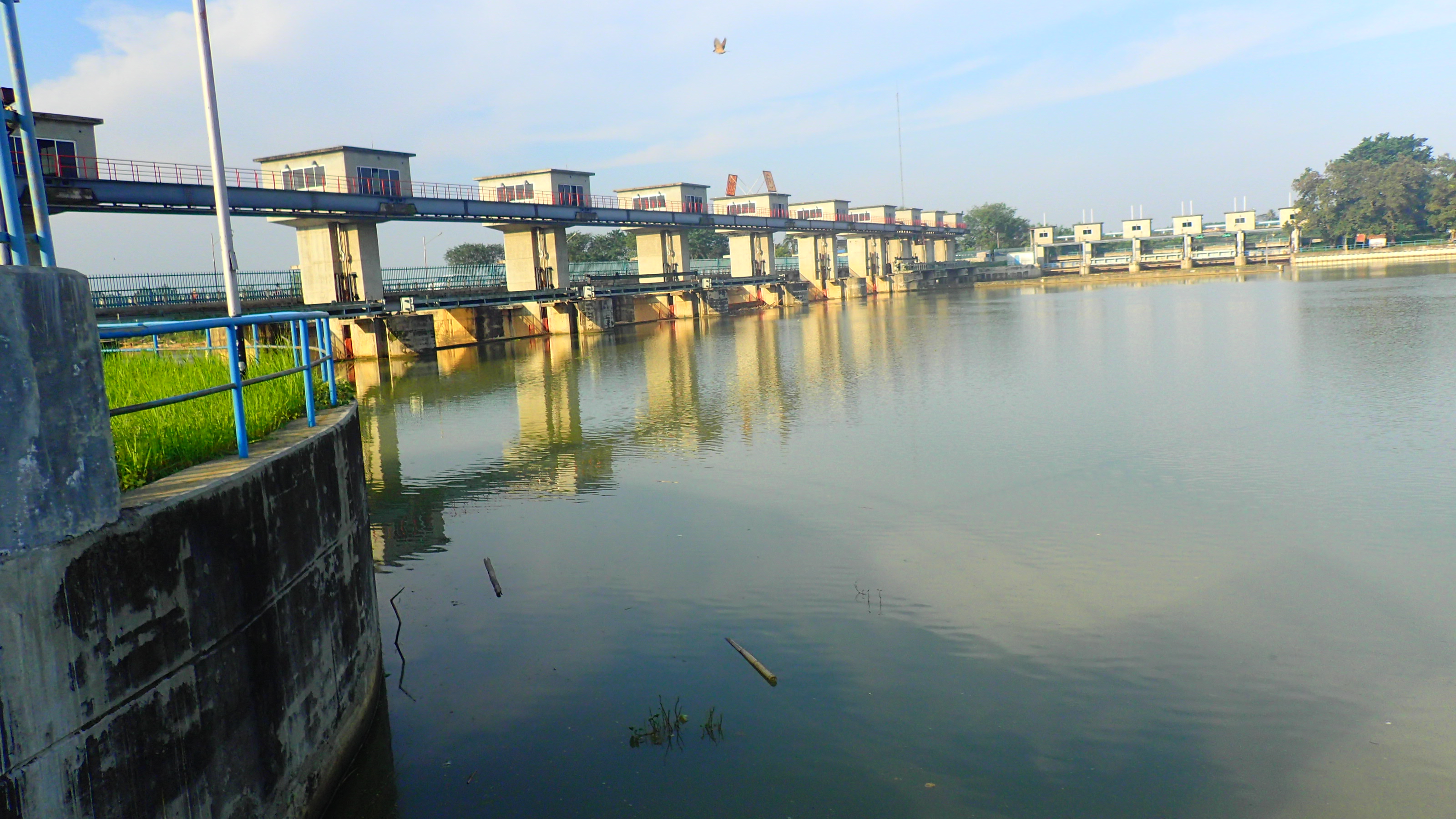
Bendungan Perjaya
Topographic Map of Martapura, East Ogan Komering Ulu Regency, South Sumatra, Indonesia
Find elevation by address:

Places near Martapura, East Ogan Komering Ulu Regency, South Sumatra, Indonesia:
Martapura
Way Kanan Regency
Sekincau
West Tulangbawang Regency
Kantorpos Liwa
Central Tulang Bawang
Mulya Asri
Way Abung Celular
Ujung Gunung Ilir
Menggala
Universitas Megow Pak Tulang Bawang
Gunung Batin Udik
Terusan Nunyai
Tanggamus Regency
Departemen Pendidikan Dan Kebudayaan
Pt. Gunung Madu Plantations
Central Lampung Regency
Lampung
Pesawaran Regency
Bandar Lampung
Recent Searches:
- Elevation of Kambingan Sa Pansol Atbp., Purok 7 Pansol, Candaba, Pampanga, Philippines
- Elevation of Pinewood Dr, New Bern, NC, USA
- Elevation of Mountain View, CA, USA
- Elevation of Foligno, Province of Perugia, Italy
- Elevation of Blauwestad, Netherlands
- Elevation of Bella Terra Blvd, Estero, FL, USA
- Elevation of Estates Loop, Priest River, ID, USA
- Elevation of Woodland Oak Pl, Thousand Oaks, CA, USA
- Elevation of Brownsdale Rd, Renfrew, PA, USA
- Elevation of Corcoran Ln, Suffolk, VA, USA