Elevation of Marshall, MO, USA
Location: United States > Missouri > Platte County >
Longitude: -94.955869
Latitude: 39.4844977
Elevation: 286m / 938feet
Barometric Pressure: 98KPa
Elevation Map:
Satellite Map:
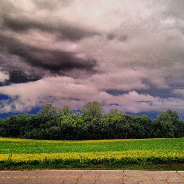
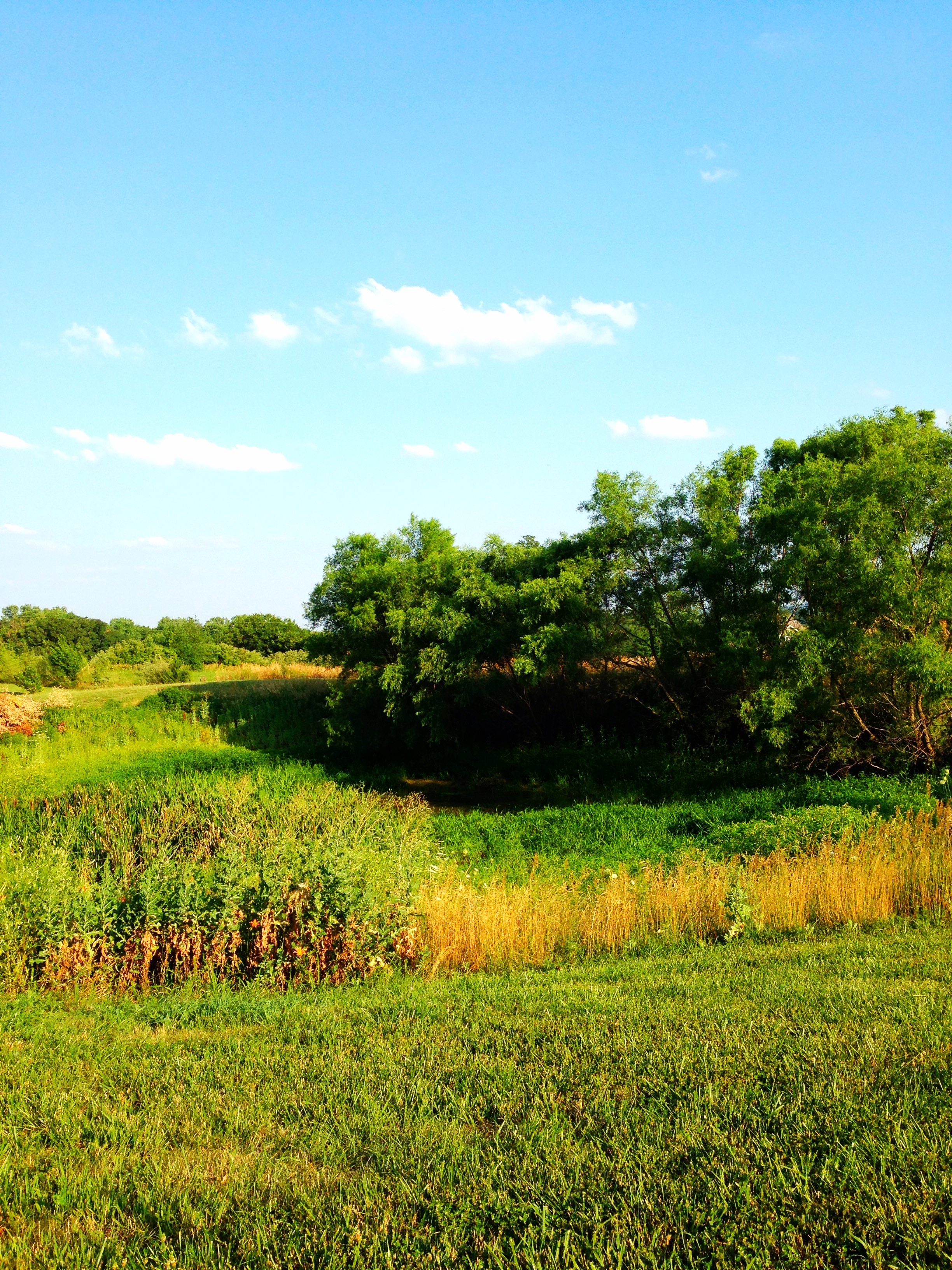
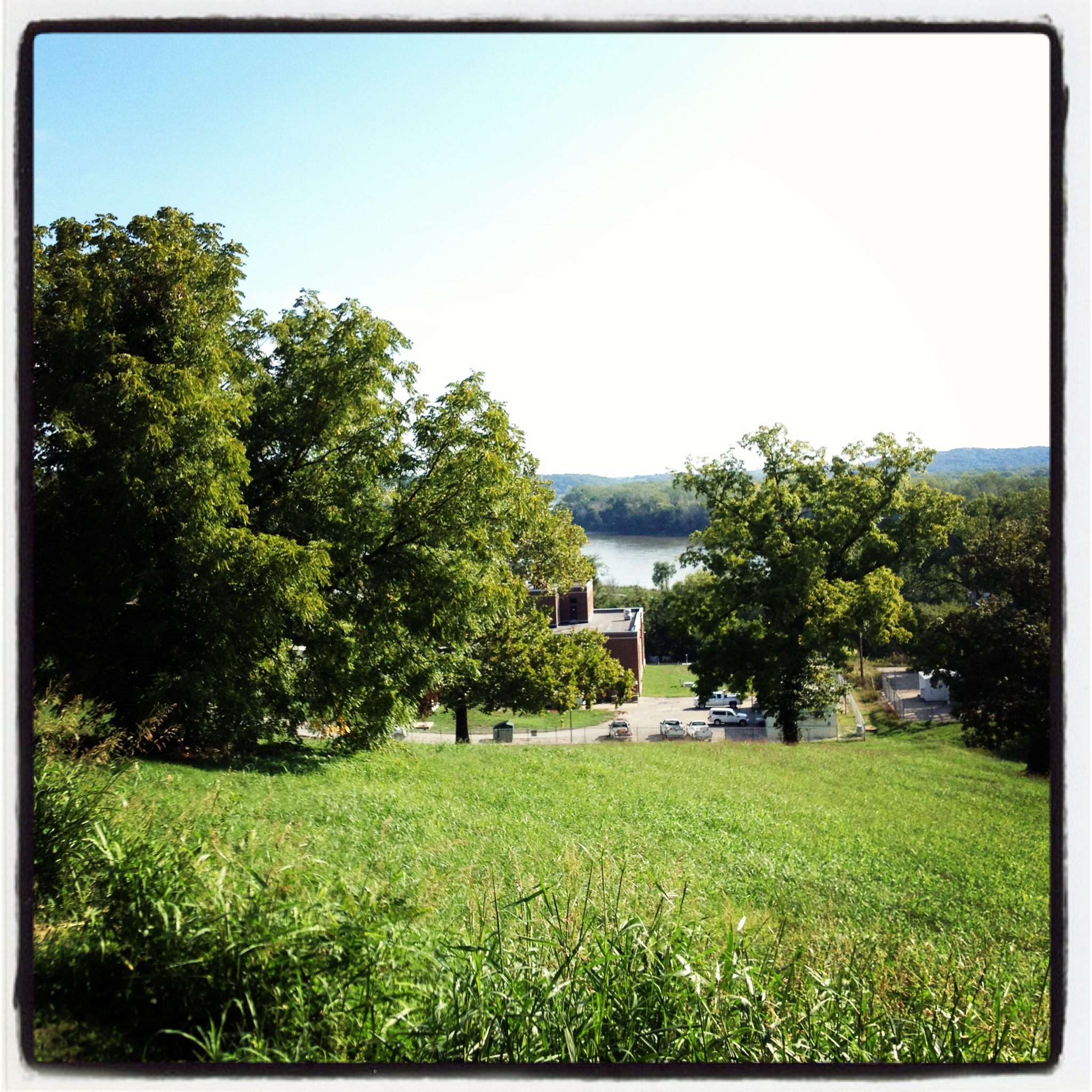
Related Photos:
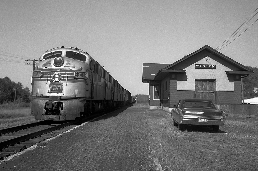
CB&Q #9931 Weston, Missouri

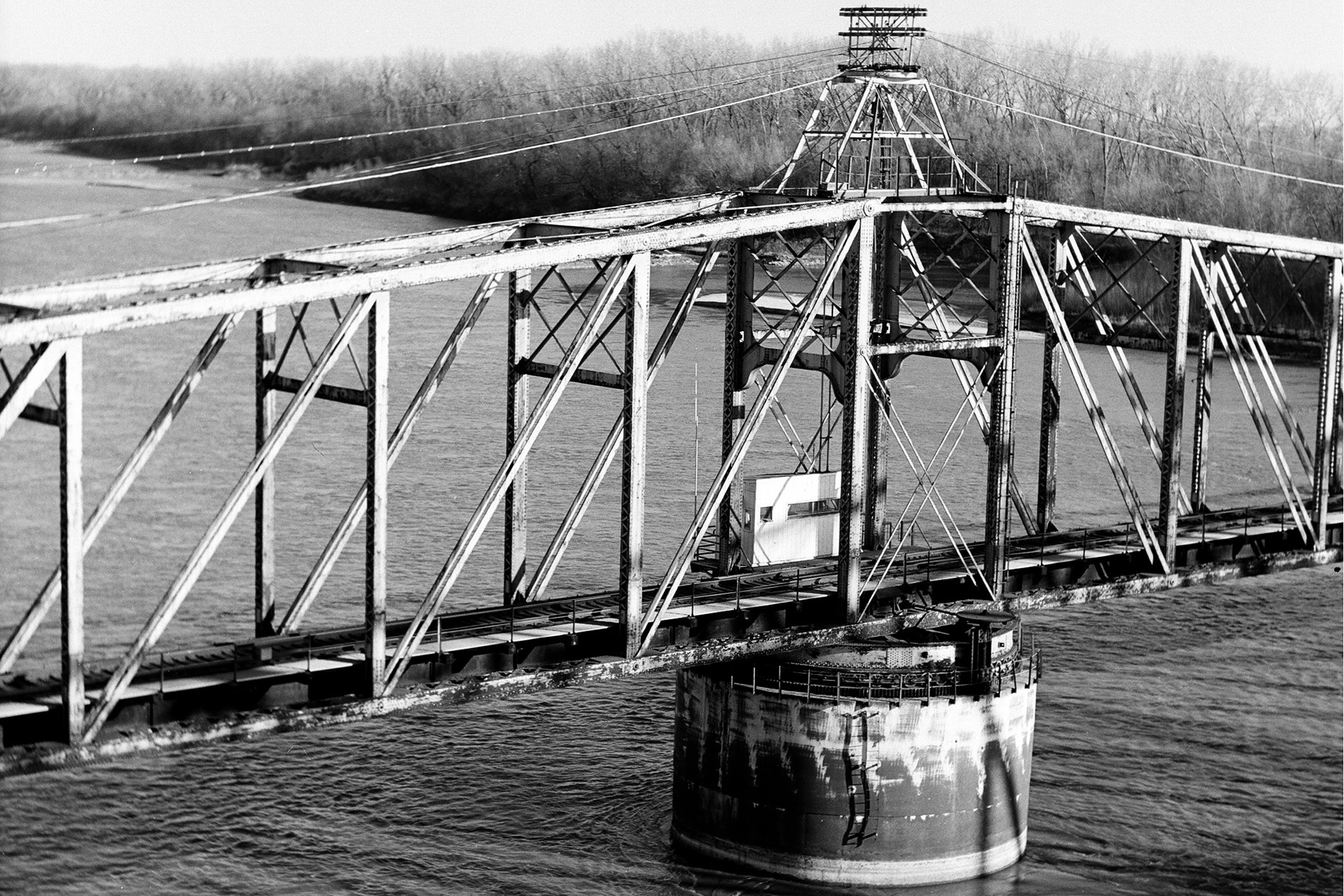
(animated stereo) Construction of cantilevered truss bridge (circa 1875)

(Harris shutter effect) Engine 7460 at LFM
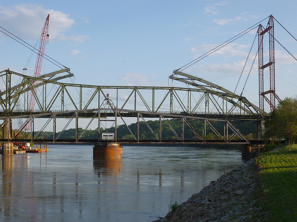
Amelia Earhart Bridge
Atchison railroad bridge
Atchison and Eastern Bridge Company
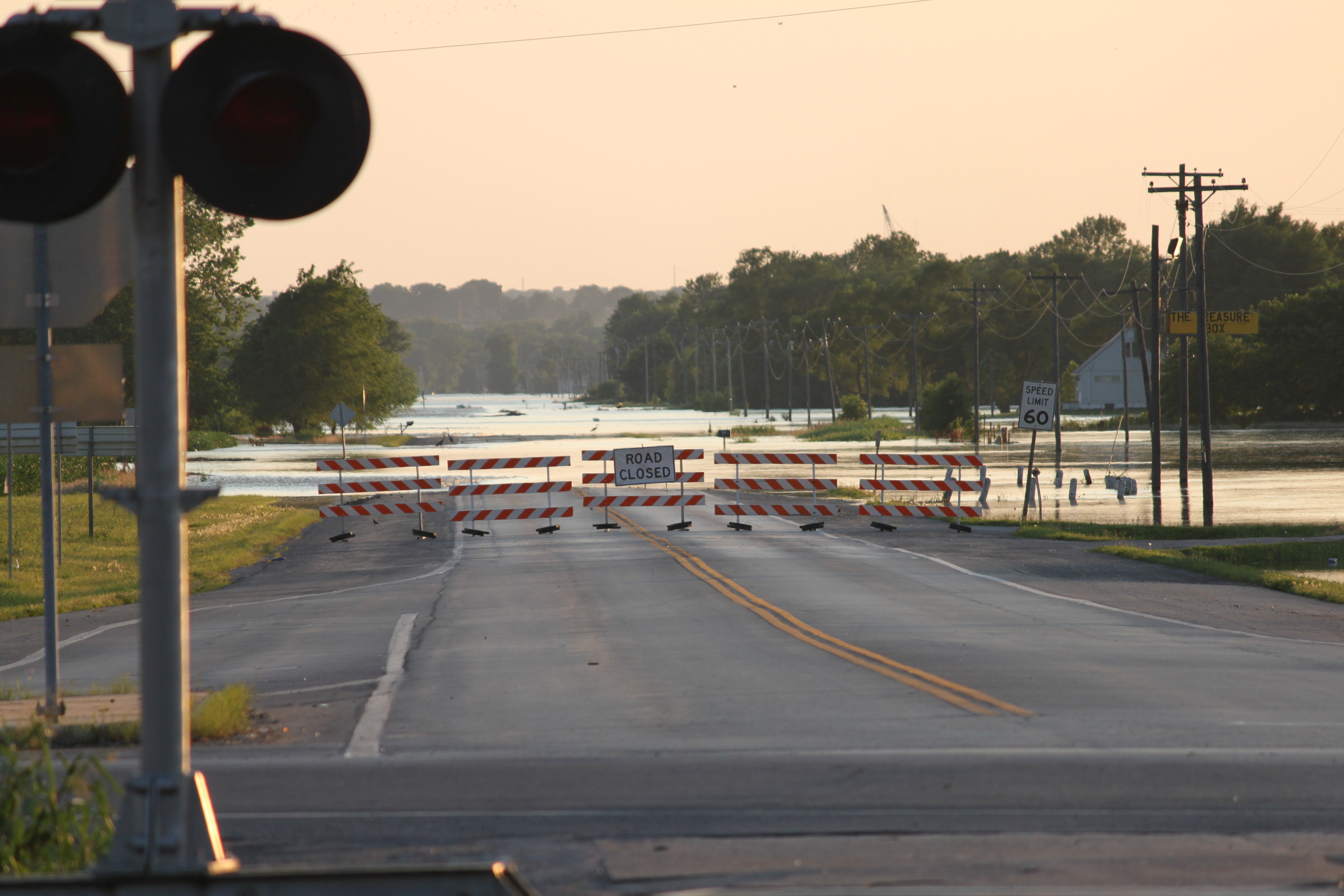
Flood 2011 -West at 45-59
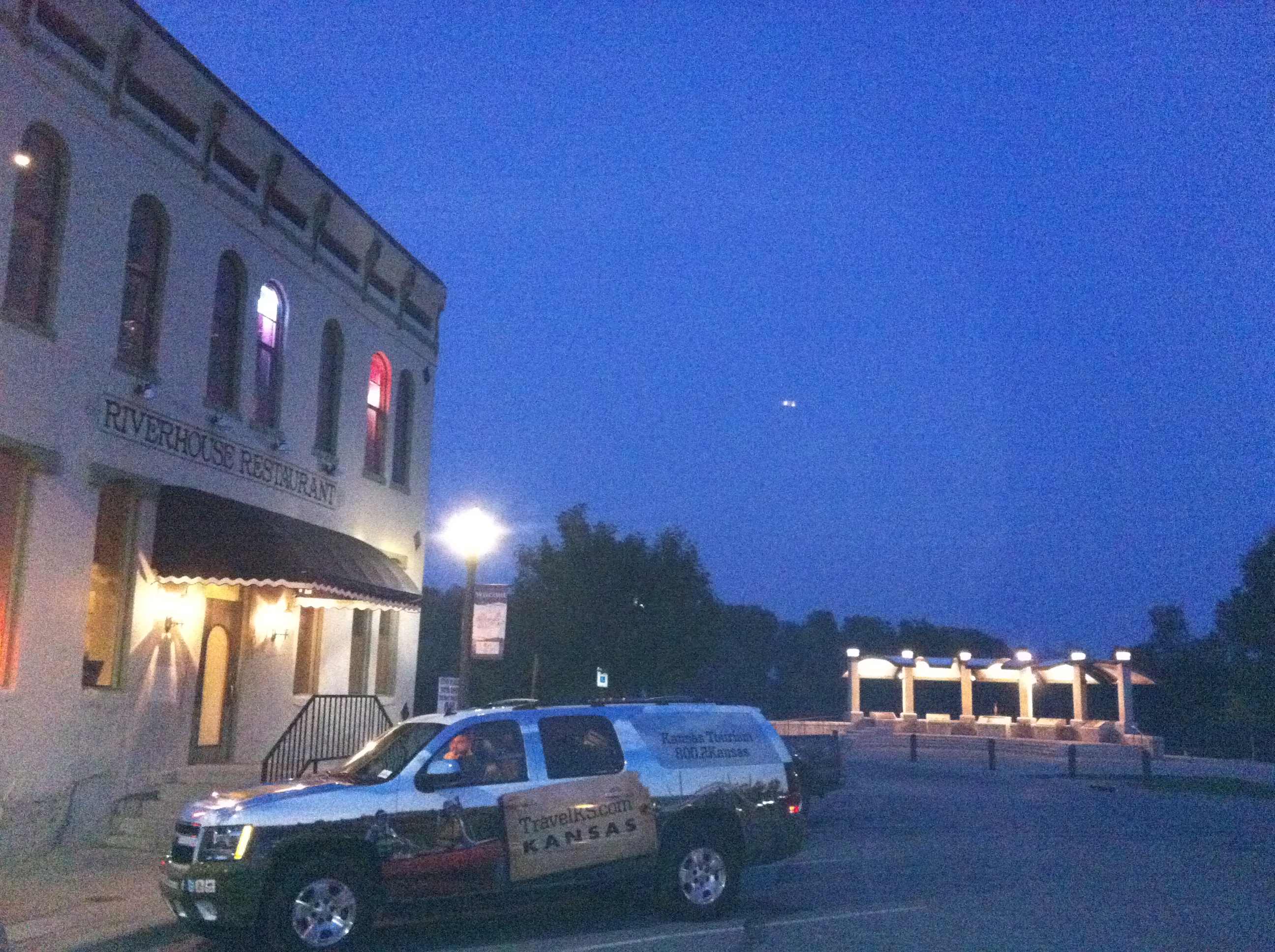
View of the River House Restaurant and Lewis & Clark Pavilion
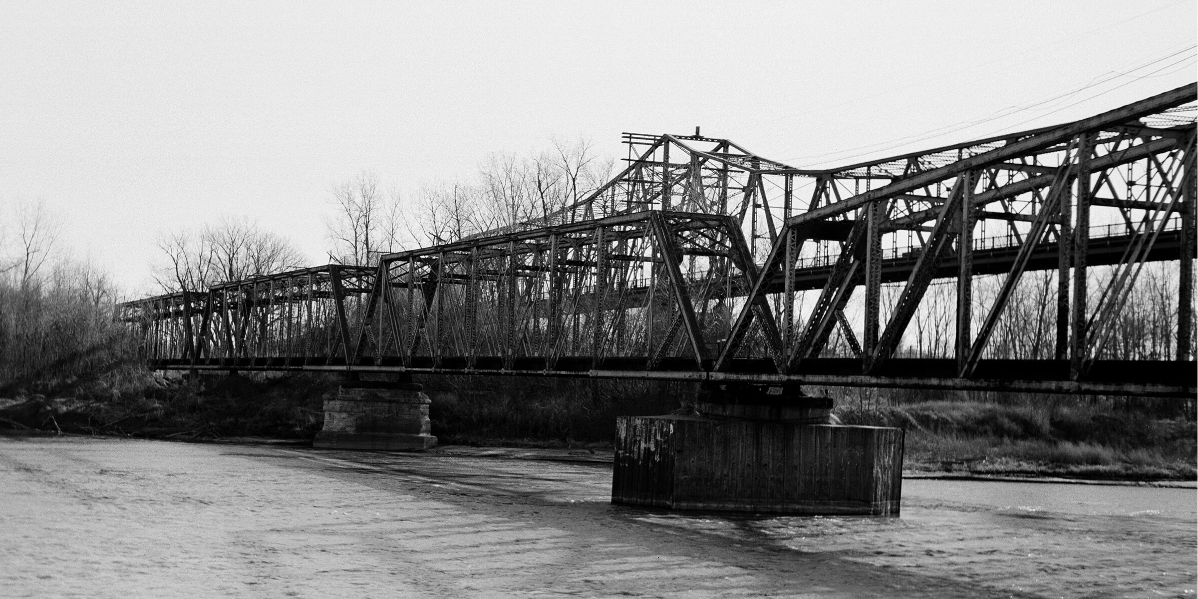
Bridges of Atchison (view from shore)
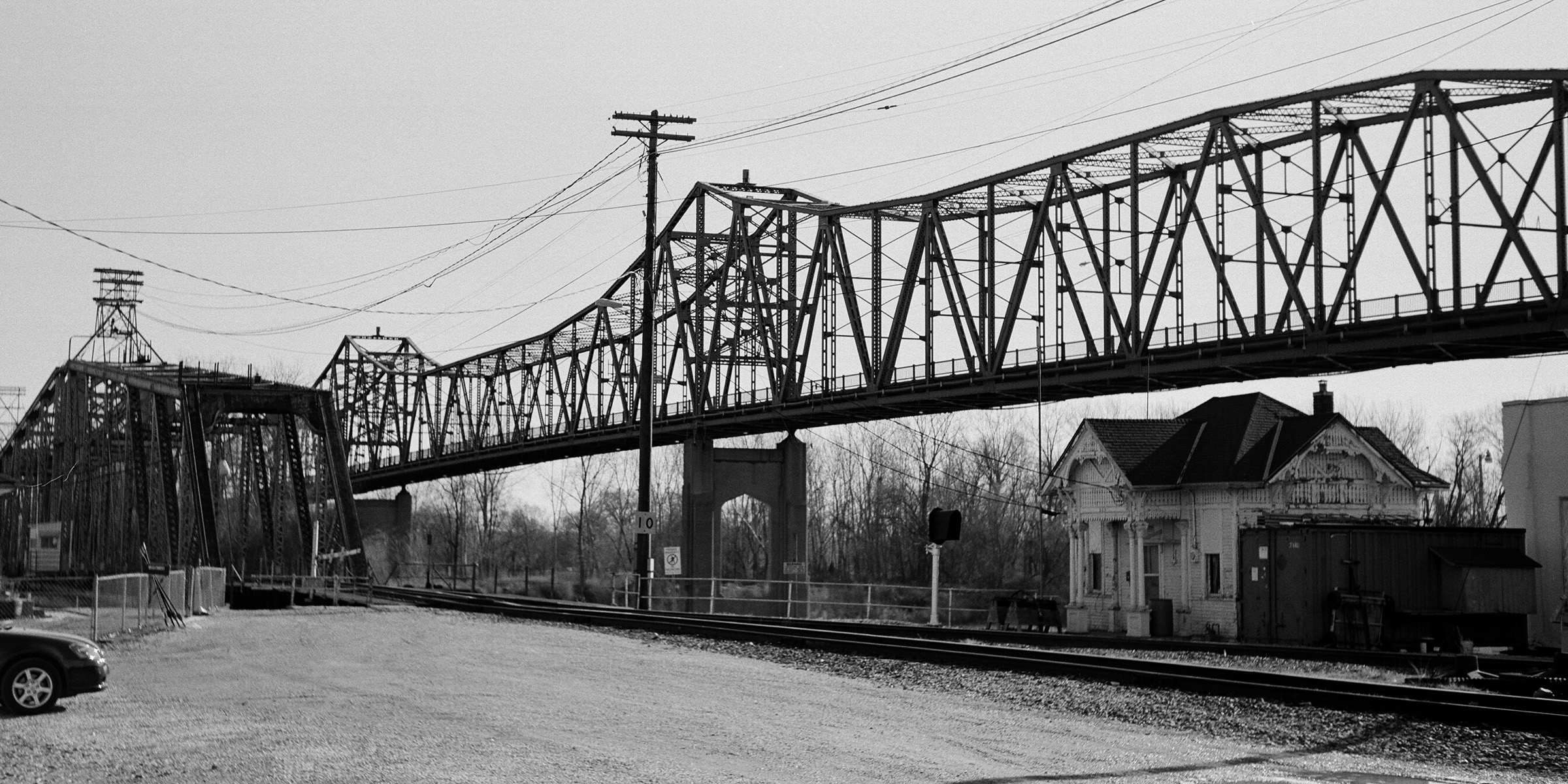
bridges of Atchison, KS

Underground Pub
June 26th

My view while on my walk.
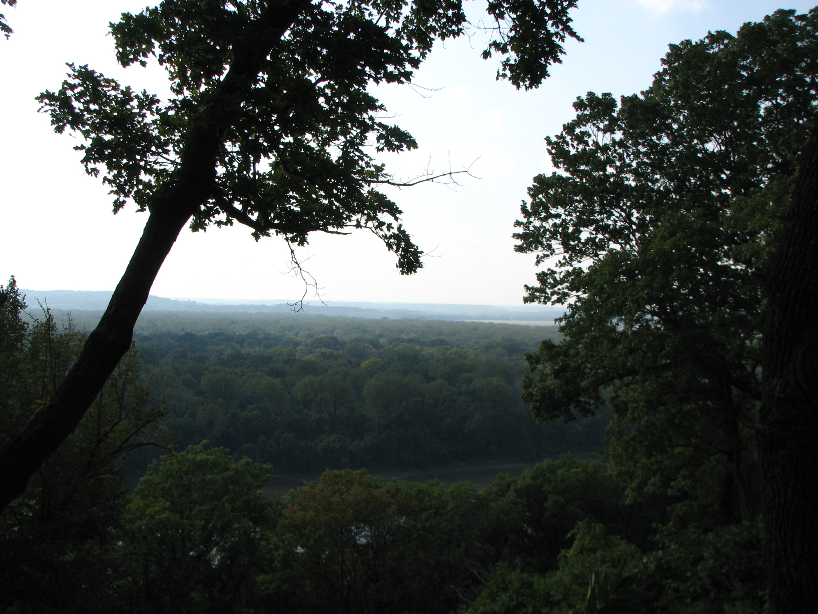
Weston Bend State Park overlooking the Missouri River and Kansas
Nice view...

Misty Sunset
Fort Leavenworth Disciplinary Barracks - Aerial view during demolition for repurposing
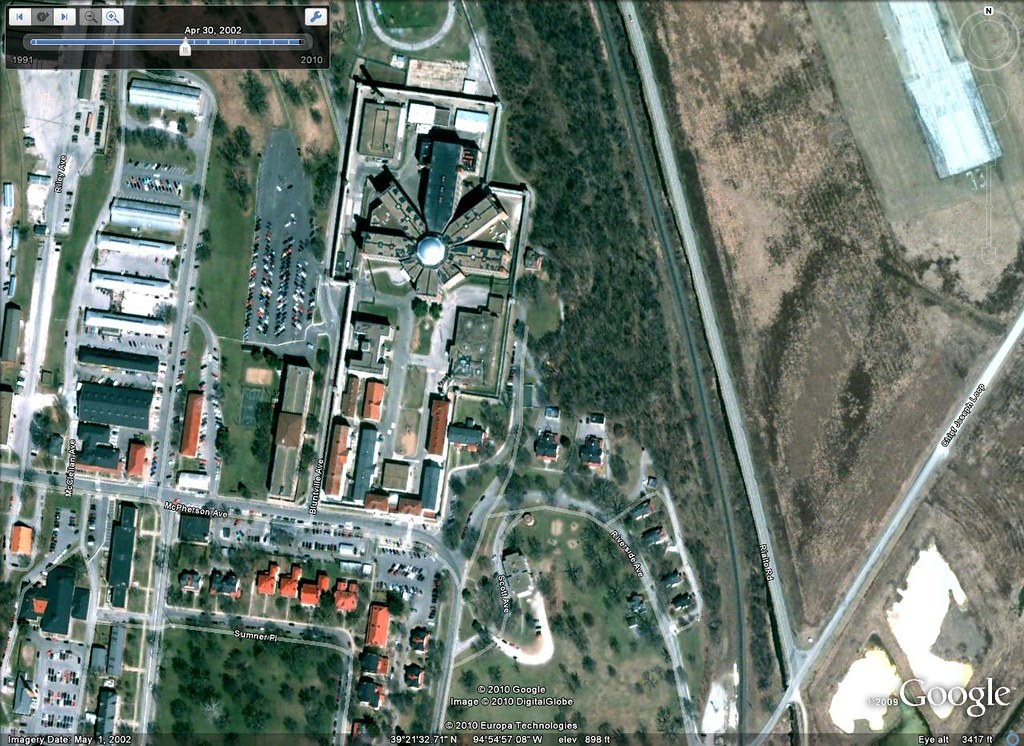
Fort Leavenworth Disciplinary Barracks - Aerial view before repurposing

Nice view
Weston Bend
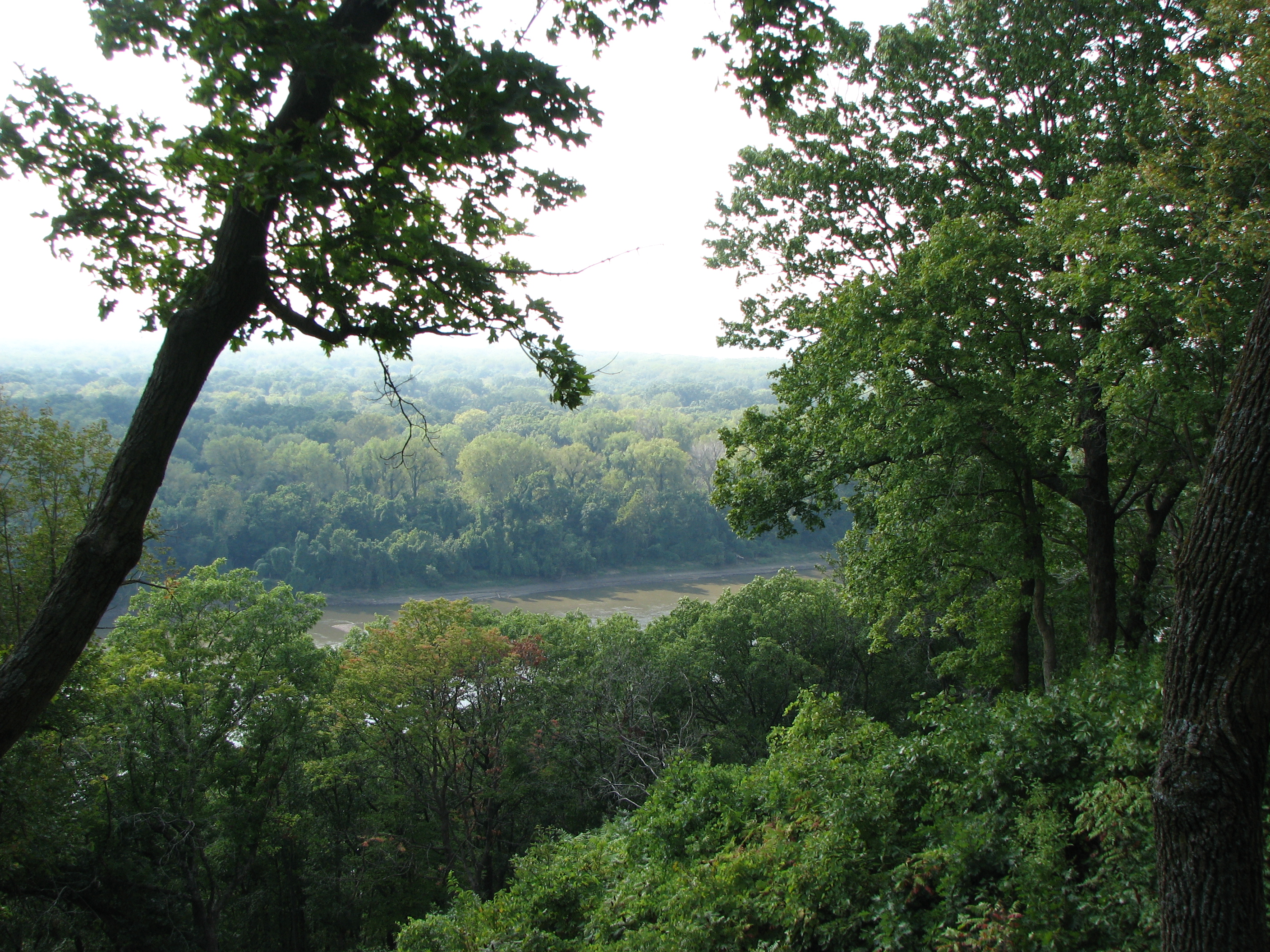
Weston Bend

Back Road to St Joe

John Deere

Missouri in the fall
watchful tree

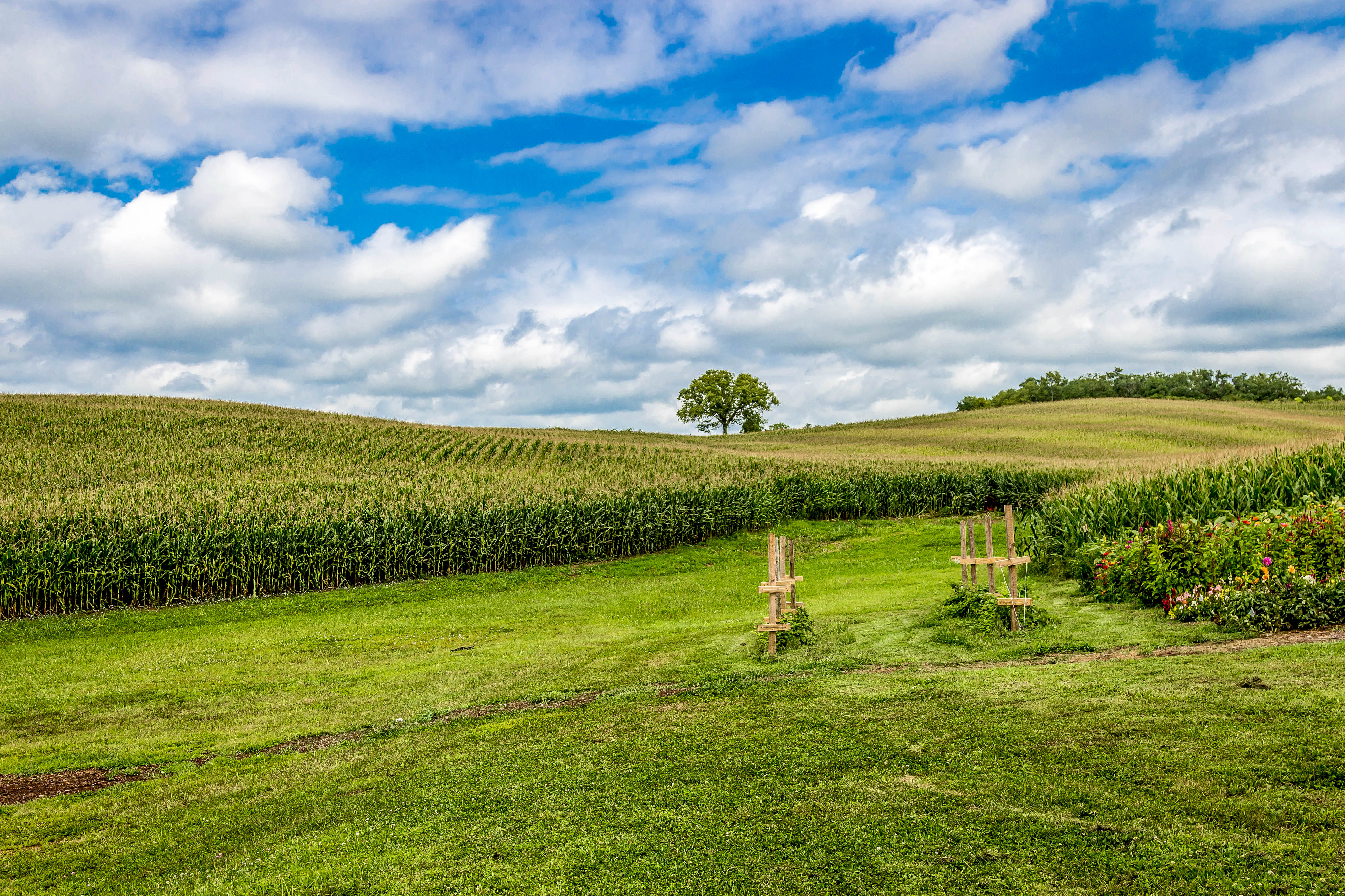
Rolling Hills
The colors outside right now are remarkable. #beautiful
Afternoon in the backyard

Historic Weston Church 004-4

Soybean field

20130919-IMG_3197

Historic Weston Church 073-73

iatan generating station
Mobile uploads

A February Afternoon
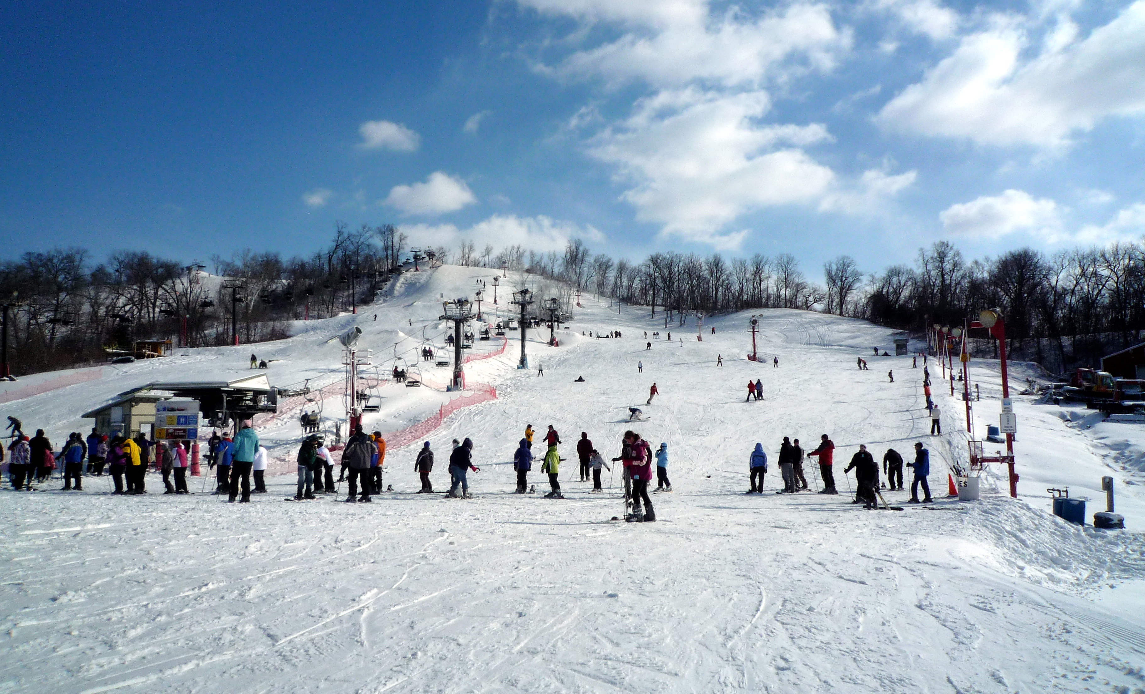
the crowd
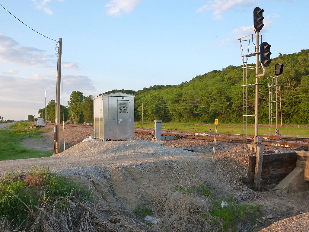
BNSF US 59 road crossing

Field & barn outside of Weston, 21 Oct 2011

Soybean field

Historic Weston Church 076-76
Topographic Map of Marshall, MO, USA
Find elevation by address:

Places in Marshall, MO, USA:
Places near Marshall, MO, USA:
Missouri 273
Iatan
Ioway St, Weston, MO, USA
19175 Mo-45
19176 Mo-45
19910 Co Rd H
MO-45, Rushville, MO, USA
22570 King Rd
623 Spring Annex
Weston Township
Weston
25305 Spratt Rd
SW Northshore Dr, Rushville, MO, USA
Weston Bend State Park
13900 Sw 59 Hwy
Santa Fe Trail, Easton, KS, USA
20725 Leavenworth County Rd 14
Sexton Rd, Platte City, MO, USA
Crawford Township
18 Mill St
Recent Searches:
- Elevation of Hercules Dr, Colorado Springs, CO, USA
- Elevation of Szlak pieszy czarny, Poland
- Elevation of Griffing Blvd, Biscayne Park, FL, USA
- Elevation of Kreuzburger Weg 13, Düsseldorf, Germany
- Elevation of Gateway Blvd SE, Canton, OH, USA
- Elevation of East W.T. Harris Boulevard, E W.T. Harris Blvd, Charlotte, NC, USA
- Elevation of West Sugar Creek, Charlotte, NC, USA
- Elevation of Wayland, NY, USA
- Elevation of Steadfast Ct, Daphne, AL, USA
- Elevation of Lagasgasan, X+CQH, Tiaong, Quezon, Philippines