Elevation map of Mariscal Nieto Province, Peru
Location: Peru > Moquegua >
Longitude: -70.716846
Latitude: -17.005655
Elevation: 3711m / 12175feet
Barometric Pressure: 64KPa
Elevation Map:
Satellite Map:
Related Photos:

2012-05-27 15-27-28 - DSCF4726_4000x3000
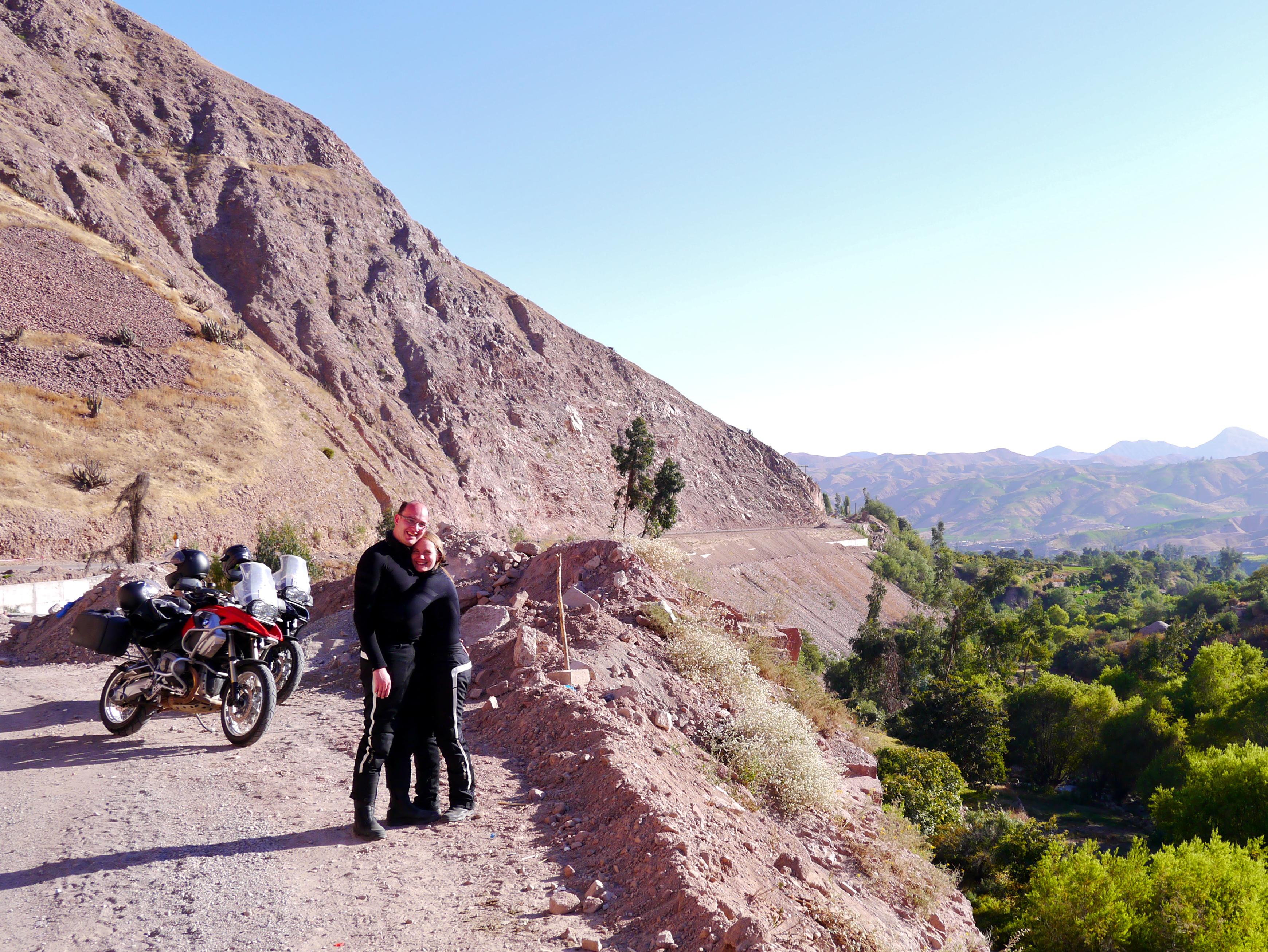
Free hugs!

Aussicht über die Ruinen von Torata
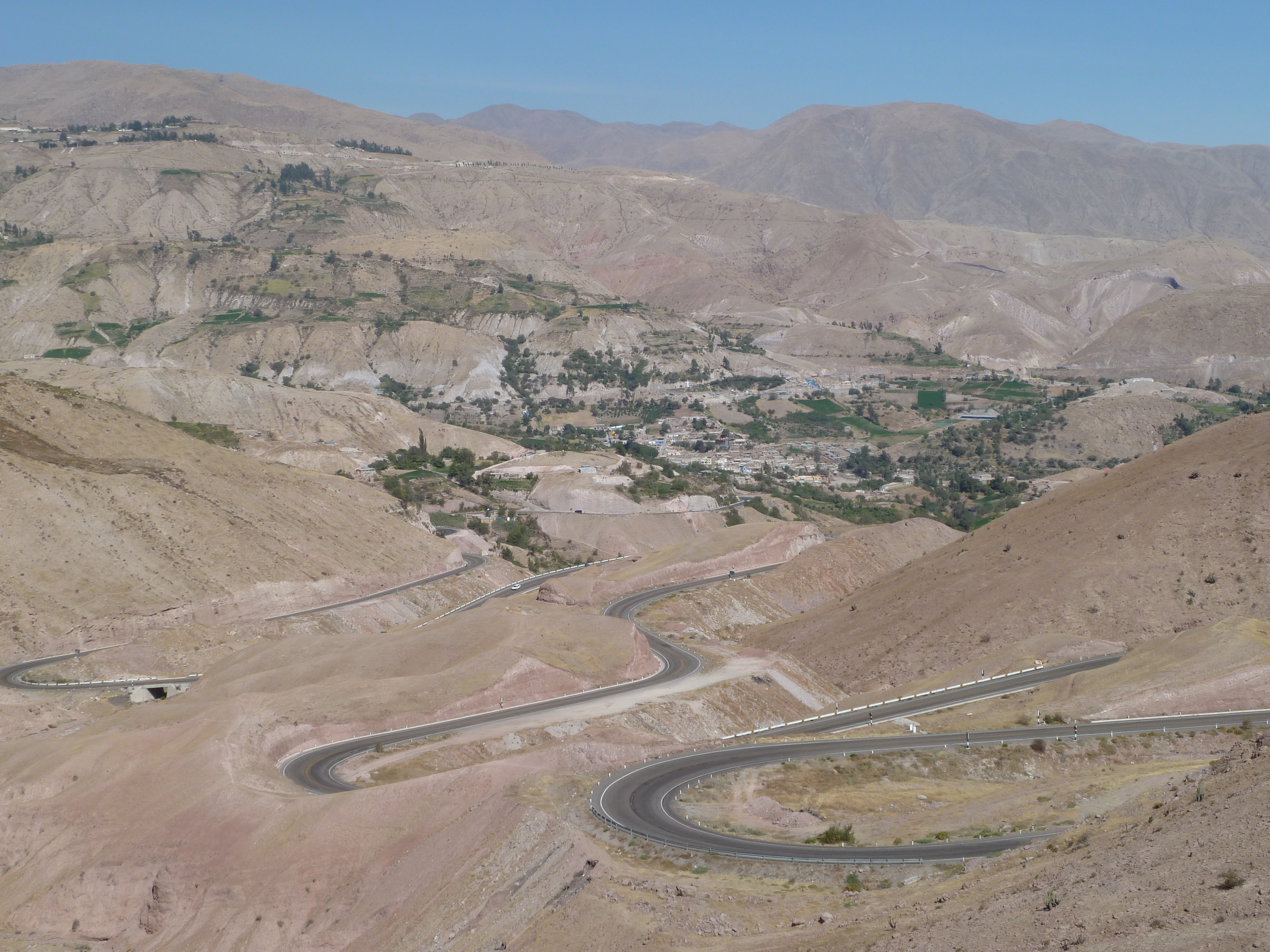
Day 14 Arica to Puno 071

DSCF2773 - Version 2

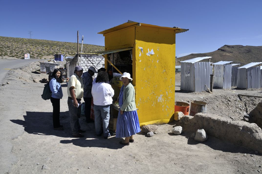
The work crew

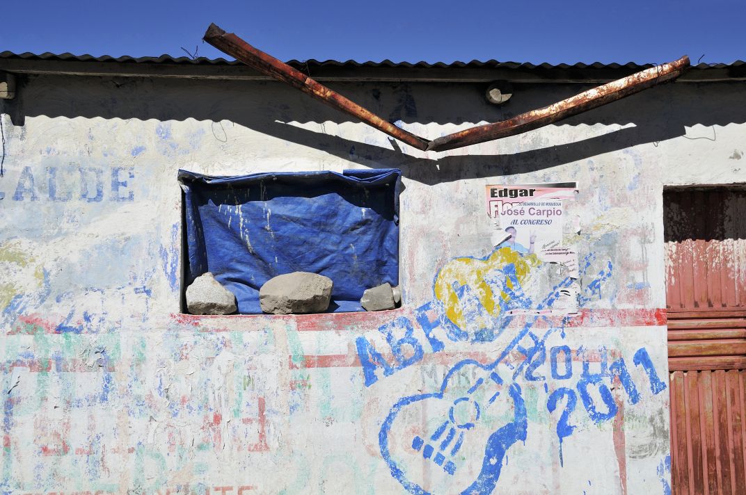
Where's the aspirin?

07-20

07-21
07-23
07-24
Topographic Map of Mariscal Nieto Province, Peru
Find elevation by address:

Places in Mariscal Nieto Province, Peru:
Churi Laq'a
Wisk'acha
Carr Binacional, Peru
34B, Peru
Calle Torata 51, Torata, Peru
Moquegua
Hospicio
Pasto Grande
Places near Mariscal Nieto Province, Peru:
Recent Searches:
- Elevation of Corso Fratelli Cairoli, 35, Macerata MC, Italy
- Elevation of Tallevast Rd, Sarasota, FL, USA
- Elevation of 4th St E, Sonoma, CA, USA
- Elevation of Black Hollow Rd, Pennsdale, PA, USA
- Elevation of Oakland Ave, Williamsport, PA, USA
- Elevation of Pedrógão Grande, Portugal
- Elevation of Klee Dr, Martinsburg, WV, USA
- Elevation of Via Roma, Pieranica CR, Italy
- Elevation of Tavkvetili Mountain, Georgia
- Elevation of Hartfords Bluff Cir, Mt Pleasant, SC, USA