Elevation of Marion-Melmore Rd, Sycamore, OH, USA
Location: United States > Ohio > Crawford County >
Longitude: -83.093908
Latitude: 40.958015
Elevation: 281m / 922feet
Barometric Pressure: 98KPa
Elevation Map:
Satellite Map:
Related Photos:
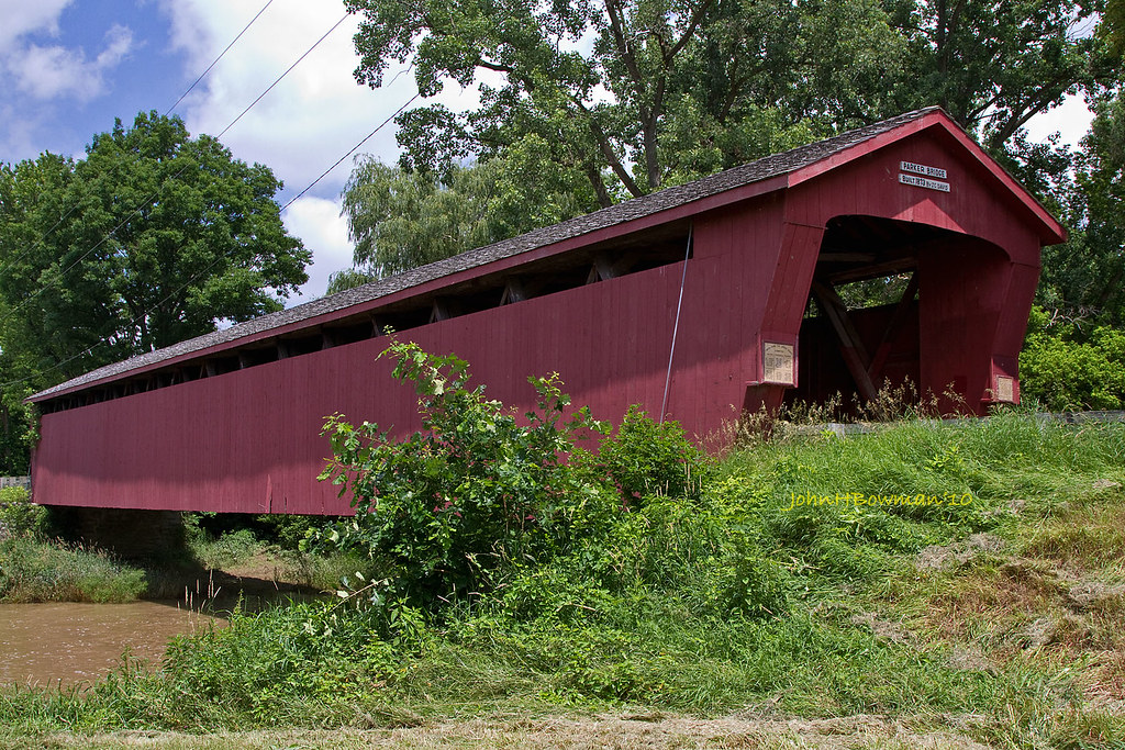
Parker Covered Bridge - Biggest and Best of Recent Trip

Turns 1 & 2

Press Box

Turns 3 & 4
South and East Facades
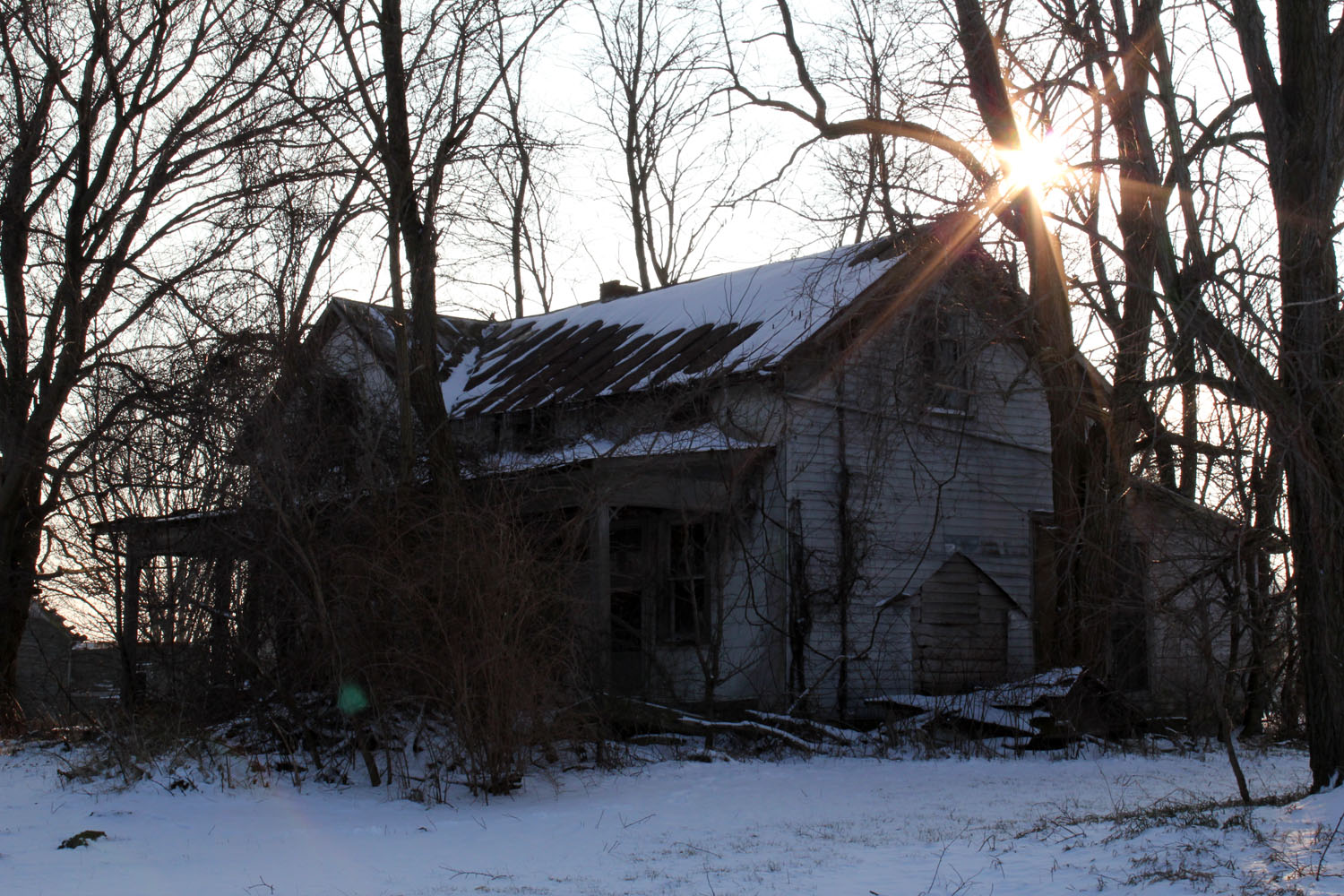
Formerly Vacant House - Chatfield, OH

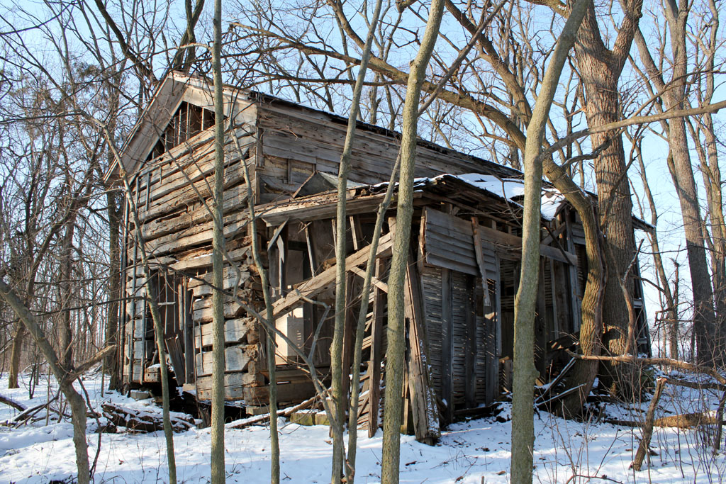
Spitler Log House - Seneca County, OH
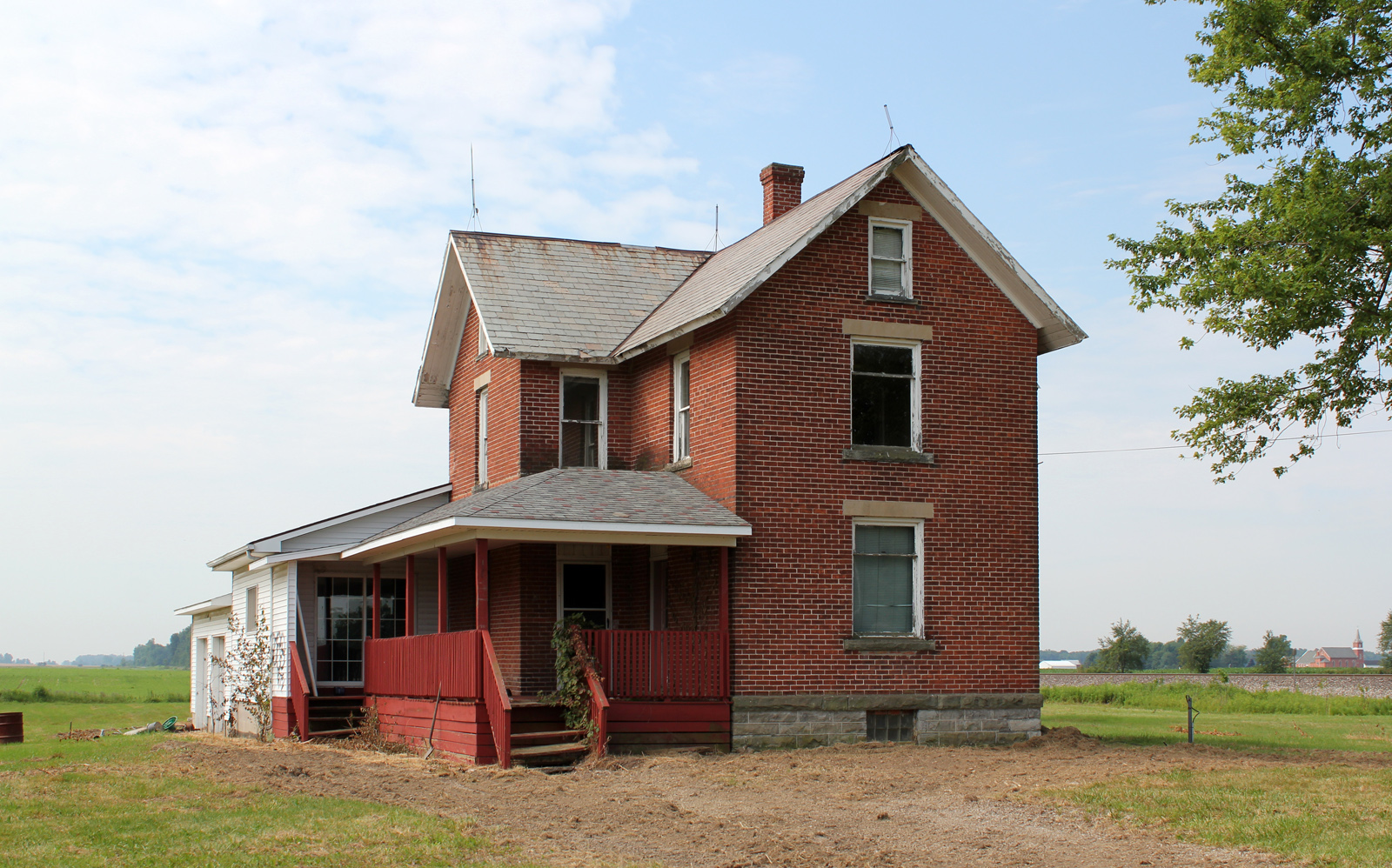
Abandoned House - Benton, OH
Joists - Spitler Log House

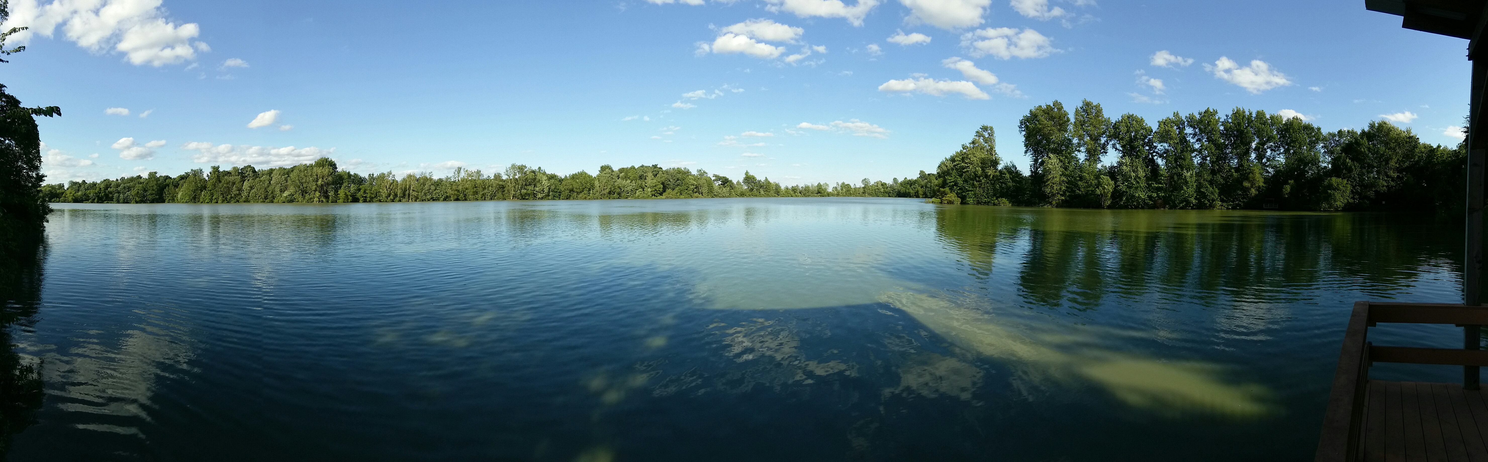
Honey Creek
Crossing the Wheeling in Chatfield
(2009-07-05) The Tree - 0020And8more

(2009-07-05) The Tree - 0083And8moreEnhancer

Front Stretch
Fields outside Upper Sandusky ... notice that it is getting hillier as I move east of the prairie.

Tiffin Ohio

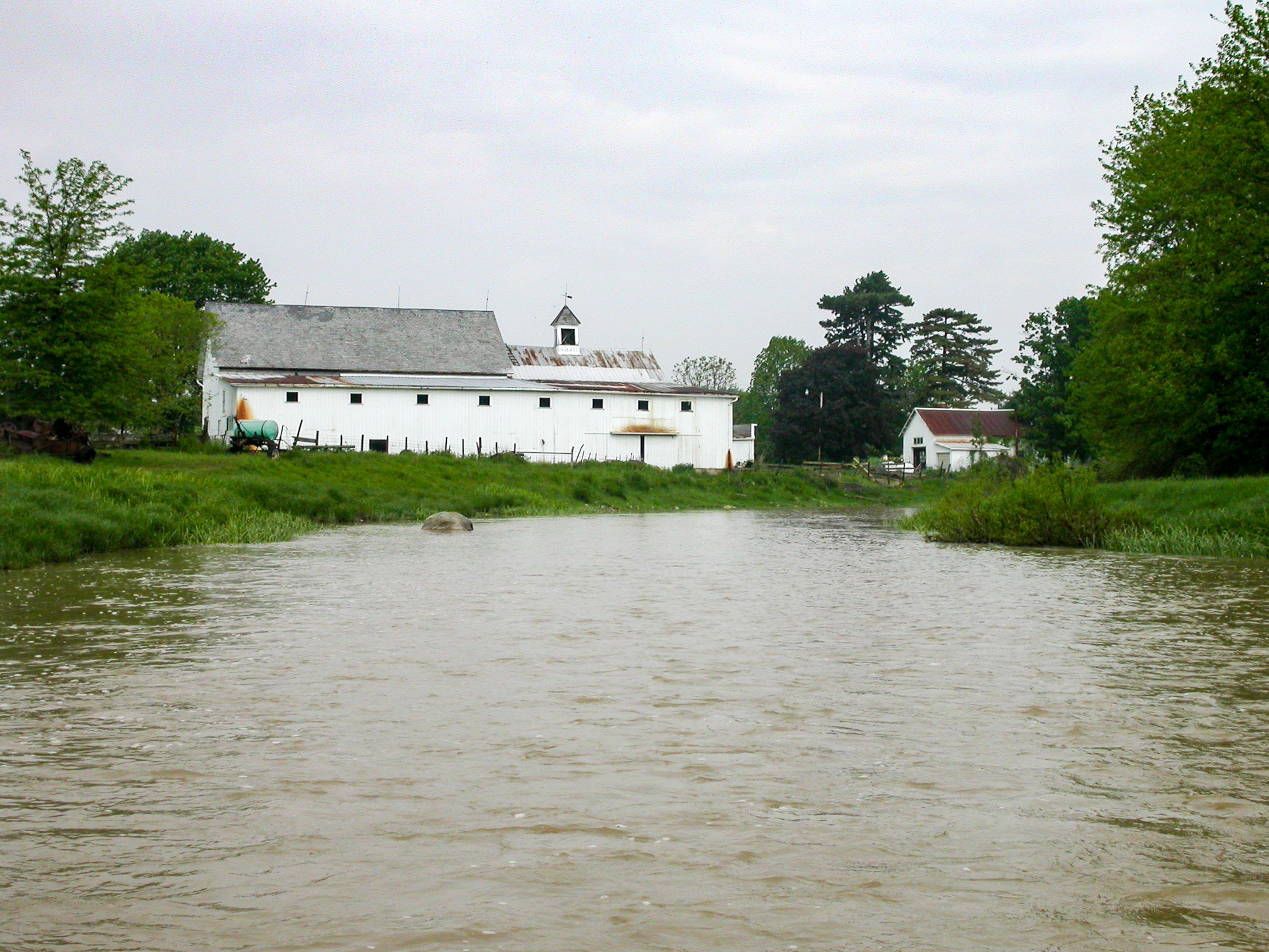
Between Sandusky River and Tymochtee Creek.
Spitler Barn Ruins - Seneca County, OH

flowers at the park
Broken Sword creek
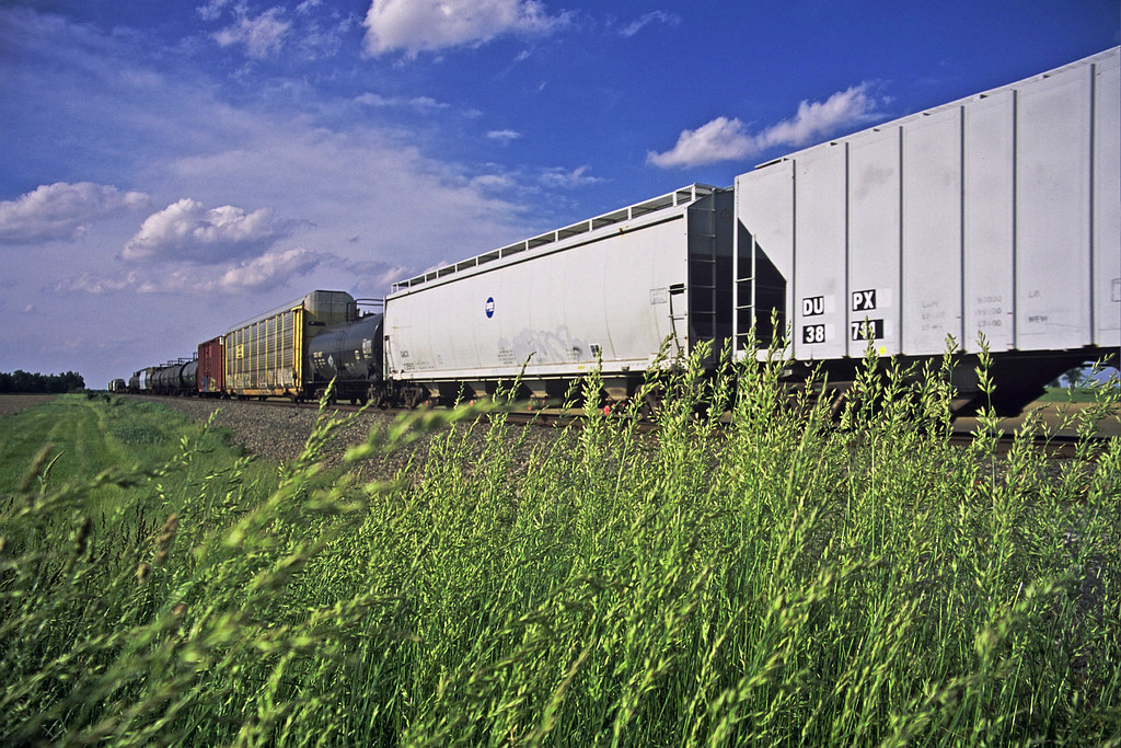
NS 958 @ Ridgeton
Honey Creek
Garlo Heritage Park - Ollie Pond
Honey Creek
Just Weeds

Collier Park
Sycamore-Kirby Tire Site (COAF)

Amber waves of grain [176/365]
Topographic Map of Marion-Melmore Rd, Sycamore, OH, USA
Find elevation by address:

Places near Marion-Melmore Rd, Sycamore, OH, USA:
1819 Oh-67
7628 S Co Rd 43
New Washington Rd, Bloomville, OH, USA
Co Hwy 9, Sycamore, OH, USA
Howard Collier State Nature Preserve
Bloom Township
Bloomville
7325 S Township Rd 131
7101 S Township Rd 131
Benjamin Franklin Hwy, Bloomville, OH, USA
3120 W Township Rd 26
Seneca Township
Greenlawn Cemetery
Coe Road
439 Coe St
Oh-53 & W County Rd 14
156 Hampden Park
Mccutchenville
48 E Market St, Tiffin, OH, USA
Tiffin
Recent Searches:
- Elevation of Lampiasi St, Sarasota, FL, USA
- Elevation of Elwyn Dr, Roanoke Rapids, NC, USA
- Elevation of Congressional Dr, Stevensville, MD, USA
- Elevation of Bellview Rd, McLean, VA, USA
- Elevation of Stage Island Rd, Chatham, MA, USA
- Elevation of Shibuya Scramble Crossing, 21 Udagawacho, Shibuya City, Tokyo -, Japan
- Elevation of Jadagoniai, Kaunas District Municipality, Lithuania
- Elevation of Pagonija rock, Kranto 7-oji g. 8"N, Kaunas, Lithuania
- Elevation of Co Rd 87, Jamestown, CO, USA
- Elevation of Tenjo, Cundinamarca, Colombia