Elevation of Marion, KY, USA
Location: United States > Kentucky > Crittenden County >
Longitude: -88.081134
Latitude: 37.3328286
Elevation: 182m / 597feet
Barometric Pressure: 99KPa
Elevation Map:
Satellite Map:
Related Photos:
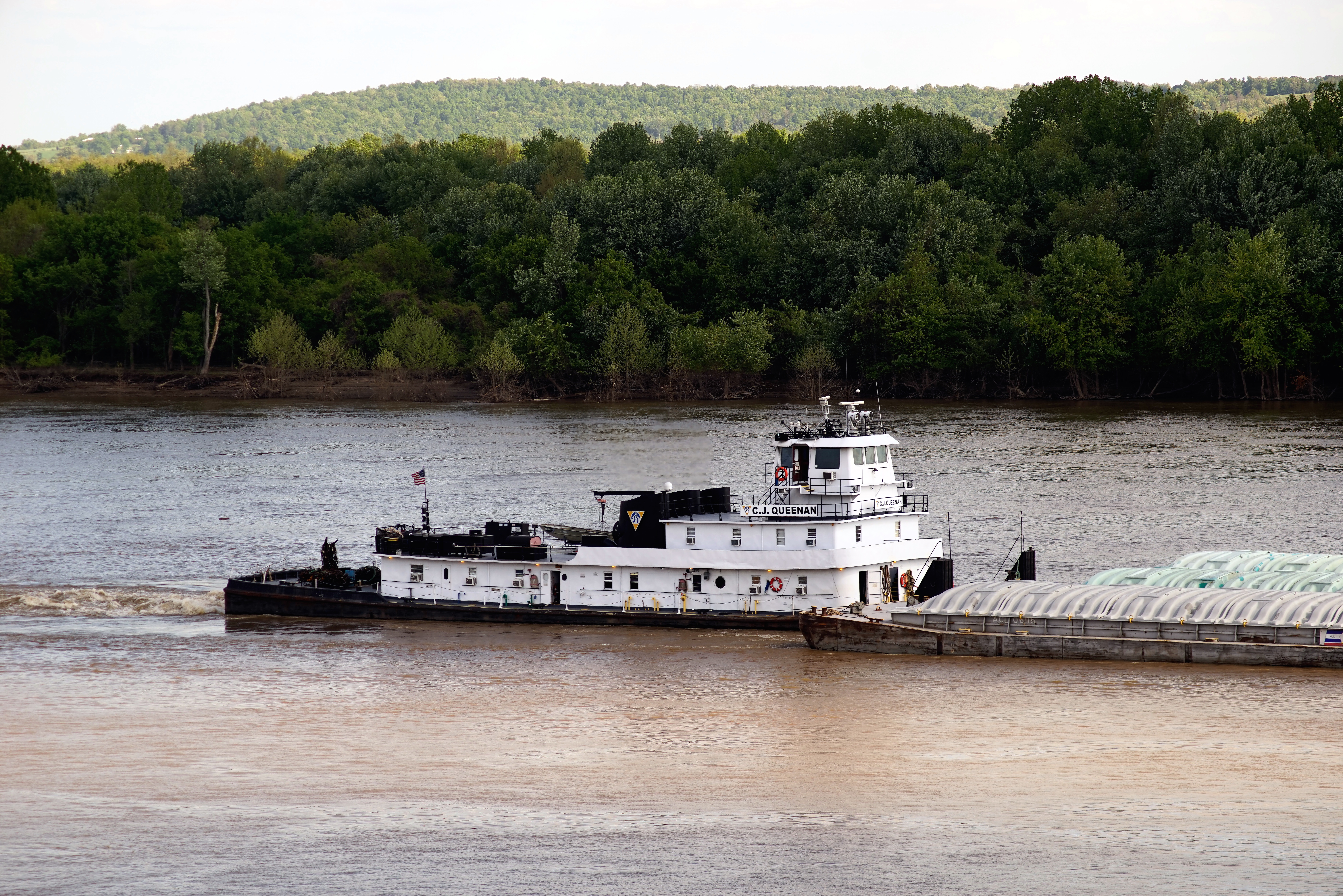
C.J. Queenan
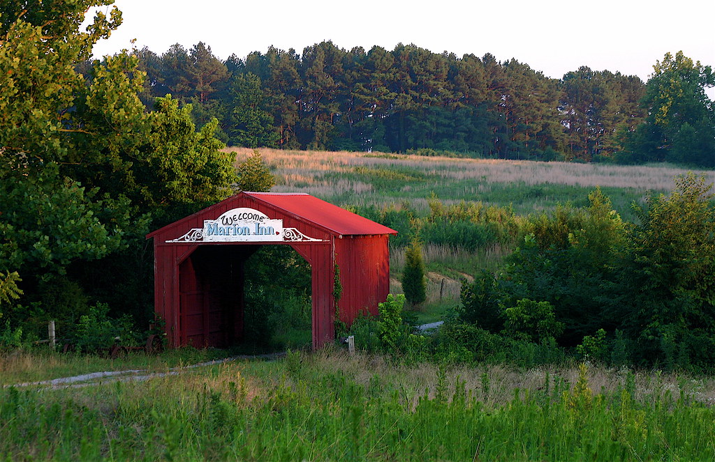
Covered Bridge To The Marion Inn (Bed And Breakfast)

'yeah, i'm stuffed'

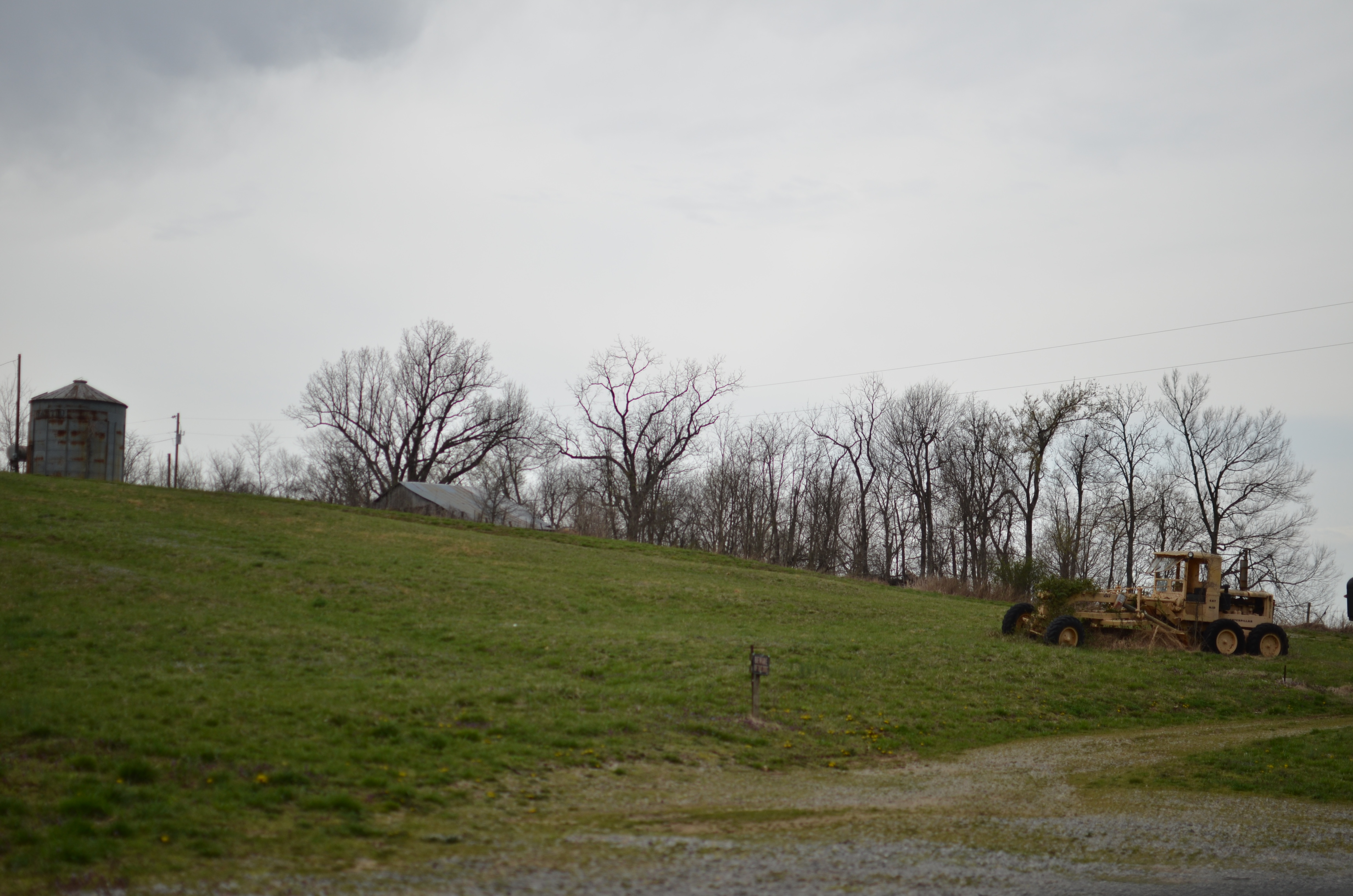
Another Amish Farm

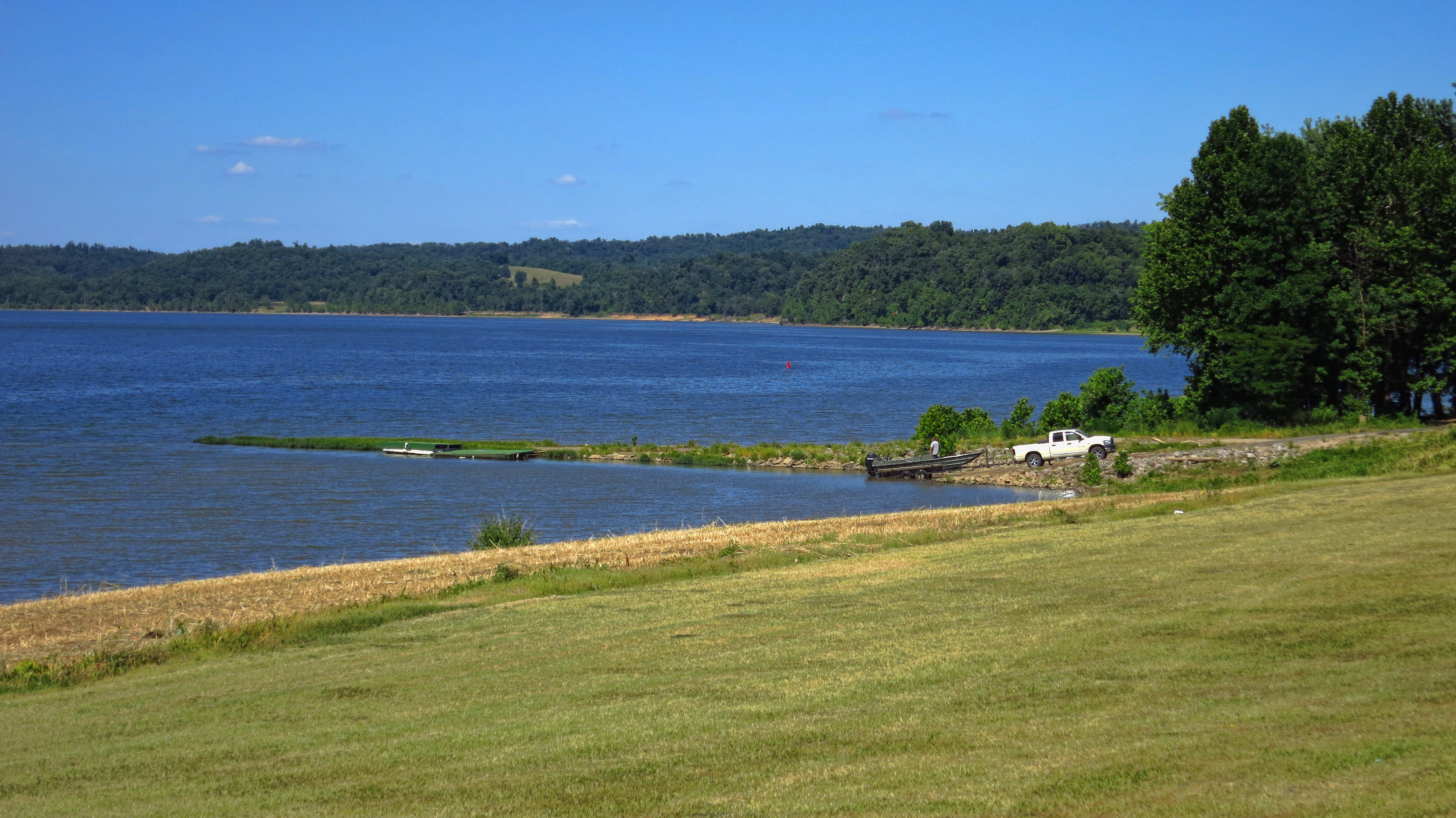
Tip of an Island in the Ohio River

Amish Farm
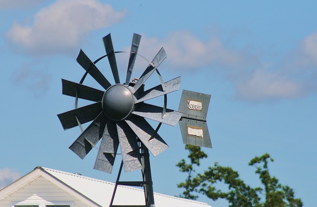
Windmill Well

Camera Roll-1971

Ohio River
Ohio River

TransAmerica 2013
Southern Illinois 184
Topographic Map of Marion, KY, USA
Find elevation by address:

Places in Marion, KY, USA:
Places near Marion, KY, USA:
Crittenden County
US-60, Marion, KY, USA
90 Cain Rd, Marion, KY, USA
7375 Ky-91
US-60, Marion, KY, USA
1875 Cotton Patch Rd
KY-, Marion, KY, USA
Cave-in-rock
1712 Tiline Rd
Tower Rock Road
Peters Creek
102 Chestnut St
35 US-, Eddyville, KY, USA
Sturgis
S Main St, Sturgis, KY, USA
Eddyville
Mcfarlan Precinct
1340 Bethany Church Rd
1 Main St, Elizabethtown, IL, USA
Elizabethtown
Recent Searches:
- Elevation of Corso Fratelli Cairoli, 35, Macerata MC, Italy
- Elevation of Tallevast Rd, Sarasota, FL, USA
- Elevation of 4th St E, Sonoma, CA, USA
- Elevation of Black Hollow Rd, Pennsdale, PA, USA
- Elevation of Oakland Ave, Williamsport, PA, USA
- Elevation of Pedrógão Grande, Portugal
- Elevation of Klee Dr, Martinsburg, WV, USA
- Elevation of Via Roma, Pieranica CR, Italy
- Elevation of Tavkvetili Mountain, Georgia
- Elevation of Hartfords Bluff Cir, Mt Pleasant, SC, USA