Elevation of Marion County, AL, USA
Location: United States > Alabama >
Longitude: -87.776333
Latitude: 34.0441174
Elevation: 174m / 571feet
Barometric Pressure: 99KPa
Elevation Map:
Satellite Map:
Related Photos:

DLC_5063

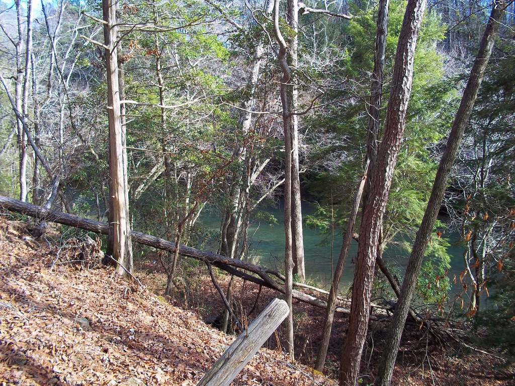
Pond in Brilliant

The Return

Shadow Burst

rock knife

CRazY ColOR

from up there

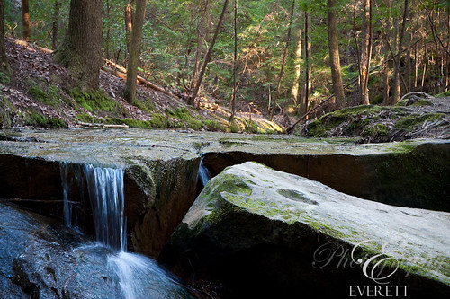
the other waterfall

The Beach

Natural Bridge-11

Natural Bridge path

indian face

Up stream

No name falls

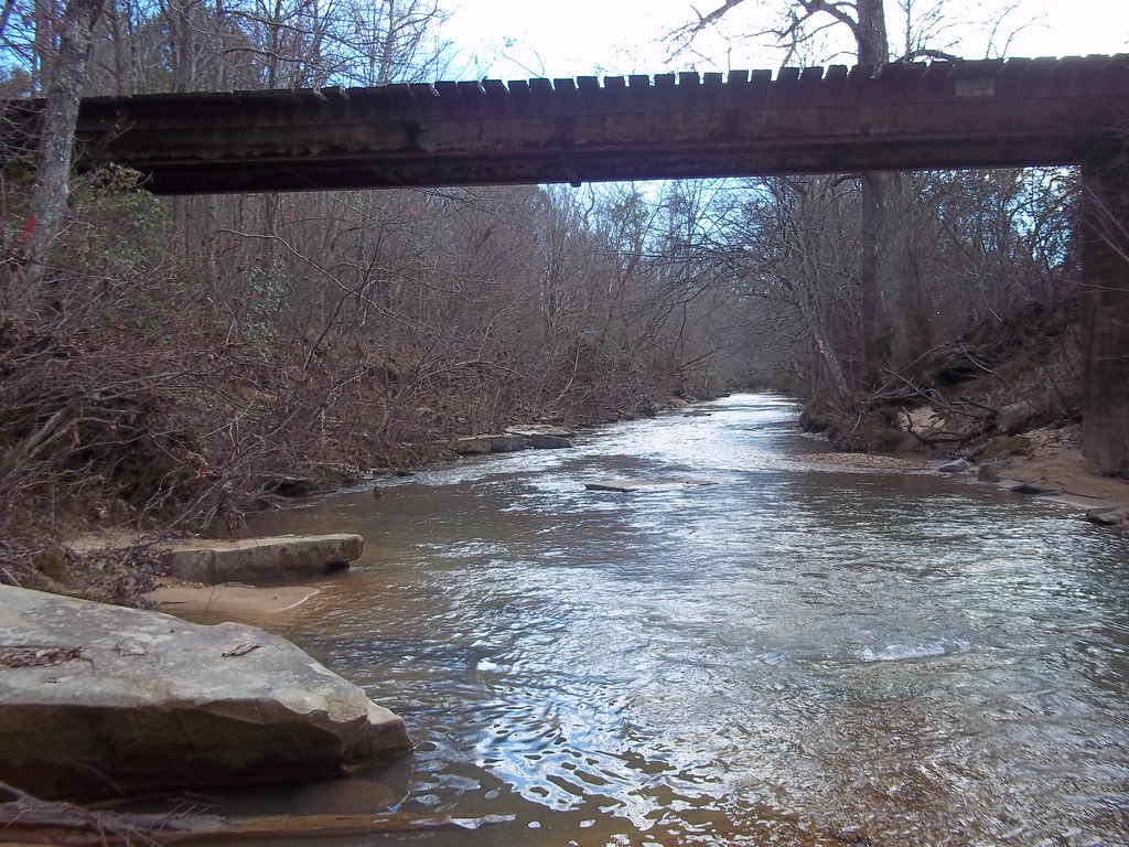
Up the River

indian face
Natural Bridge-12
Support?
Going Up?
Lookin Down

Natural Bridge-10
From above
Topographic Map of Marion County, AL, USA
Find elevation by address:

Places in Marion County, AL, USA:
Places near Marion County, AL, USA:
Brilliant
AL-, Brilliant, AL, USA
Co Rd 61, Guin, AL, USA
AL-, Brilliant, AL, USA
Co Rd 42, Guin, AL, USA
837 Crooked Creek Rd
AL-, Hamilton, AL, USA
Alabama 253
Winfield
AL-, Bear Creek, AL, USA
Stinson Rd, Guin, AL, USA
Cowboy Cir, Guin, AL, USA
Glen Allen
Twin St N, Winfield, AL, USA
3491 Co Rd 9
Guin
93 Co Rd 65, Winfield, AL, USA
Highway 278 Northeast
231 New River Rd
1718 Co Rd 16
Recent Searches:
- Elevation of Corso Fratelli Cairoli, 35, Macerata MC, Italy
- Elevation of Tallevast Rd, Sarasota, FL, USA
- Elevation of 4th St E, Sonoma, CA, USA
- Elevation of Black Hollow Rd, Pennsdale, PA, USA
- Elevation of Oakland Ave, Williamsport, PA, USA
- Elevation of Pedrógão Grande, Portugal
- Elevation of Klee Dr, Martinsburg, WV, USA
- Elevation of Via Roma, Pieranica CR, Italy
- Elevation of Tavkvetili Mountain, Georgia
- Elevation of Hartfords Bluff Cir, Mt Pleasant, SC, USA