Elevation of Marine Dr, Bellingham, WA, USA
Location: United States > Washington > Whatcom County > Bellingham >
Longitude: -122.56326
Latitude: 48.7822589
Elevation: 22m / 72feet
Barometric Pressure: 101KPa
Elevation Map:
Satellite Map:
Related Photos:
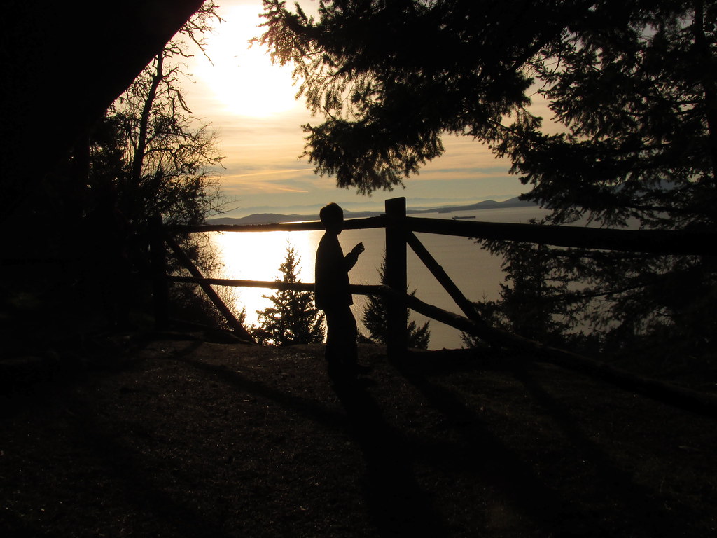
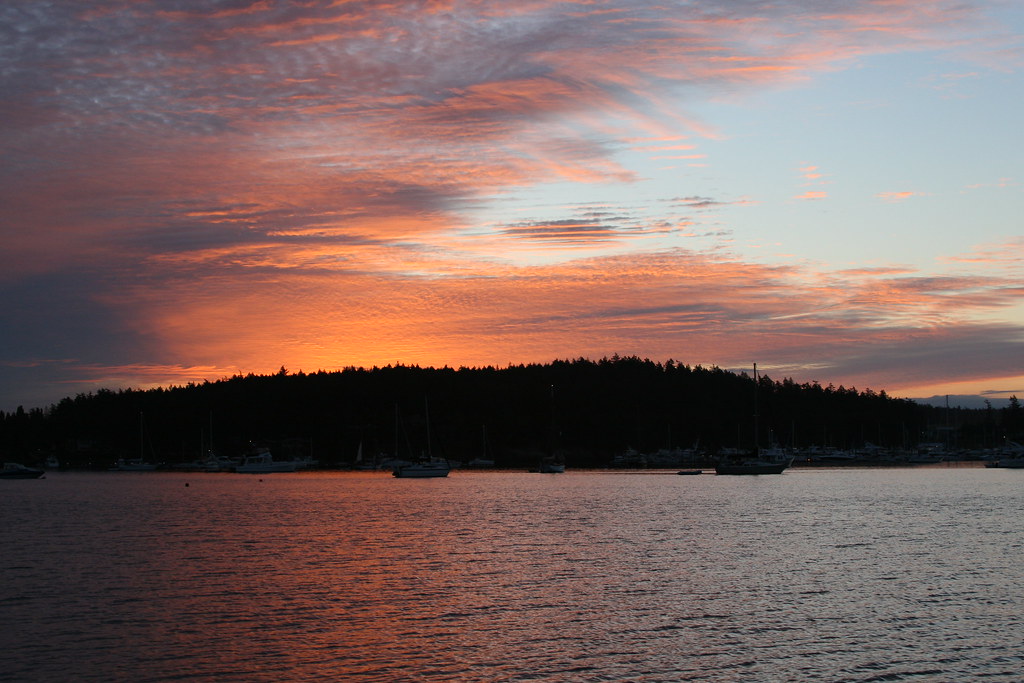
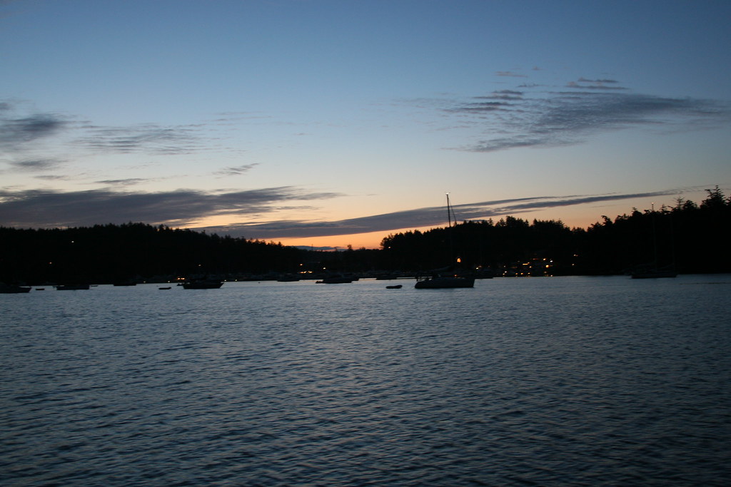
Sunset Silhouette by A

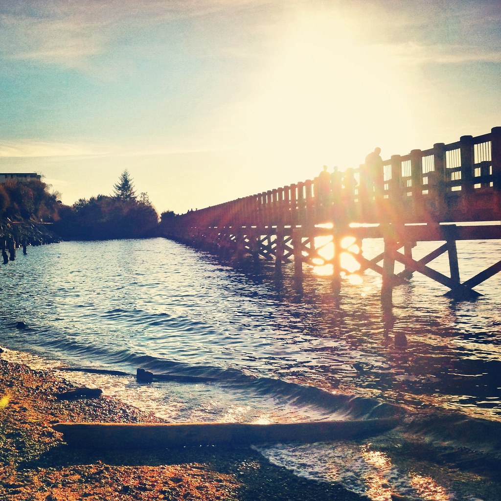
The Long Walk

Break in a Rainy Day Allowed a View of Mt Baker from Pioneer Park While Walking My Dog in Ferndale, WA, USA-11a

Red River Red Barn

Wildcat Cove in Washington State caught in one of those rare beautiful sunsets . . . . . #travelwashington #explorewashington #wildcatcove #chuckanutdrive #larrabeestatepark #sunset #sunset_ig #sunsetporn #pnw #pnwisbest #pnwonderland #pnwisbeautiful #jj_
See Me
View of Wooded Areas of Pioneer Park While Walking My Dog in Ferndale, WA, USA-8a
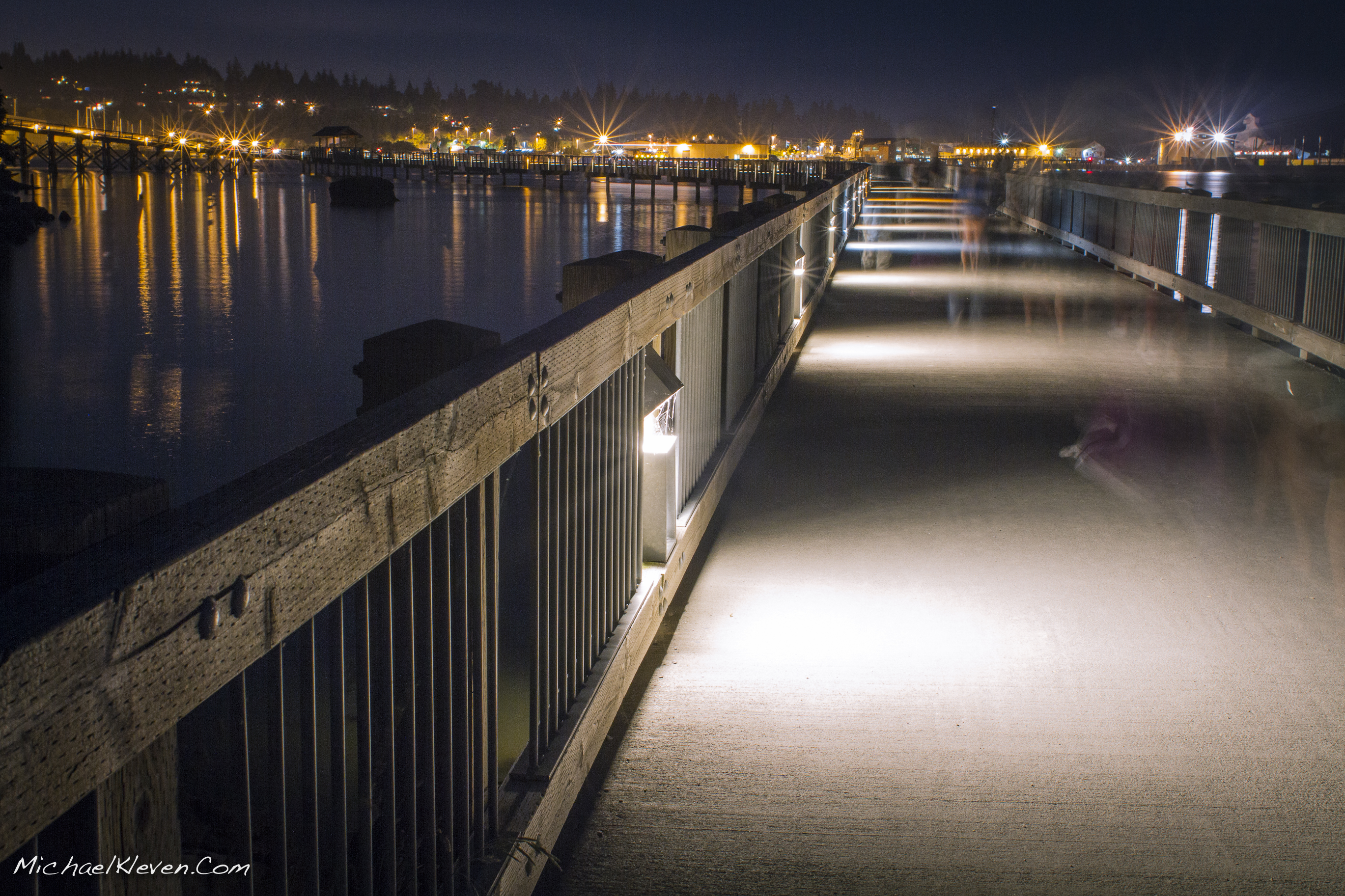
Fairhaven Boardwalk

Woodstock Farm Bellingham WA USA-13a
Woodstock Farm Bellingham WA USA-29a
View of Nooksack River from Pioneer Park While Walking My Dog in Ferndale, WA, USA-9a
Sunrise over coast of Washington State-4
Woodstock Farm Bellingham WA USA-31a
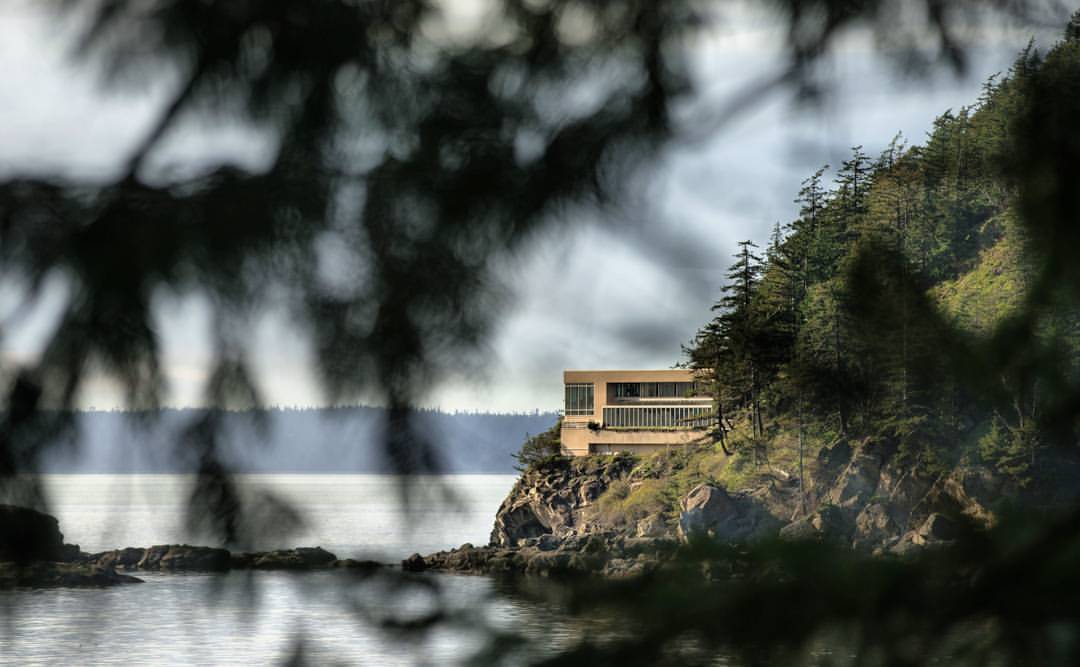
Would you live here? They certainly have some sweet views! Located just north of Larrabee State Park, I liked the way I could use the trees to frame the house. * Captured with the #Sony #A7RII and #Canon #70200 lens

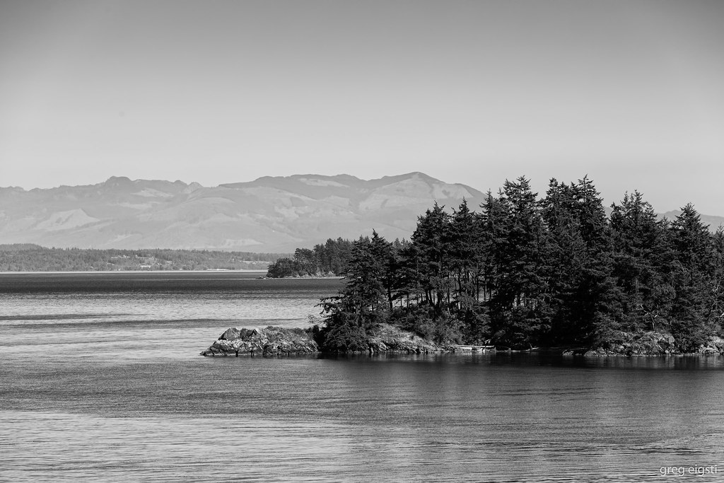
Bellingham Bay
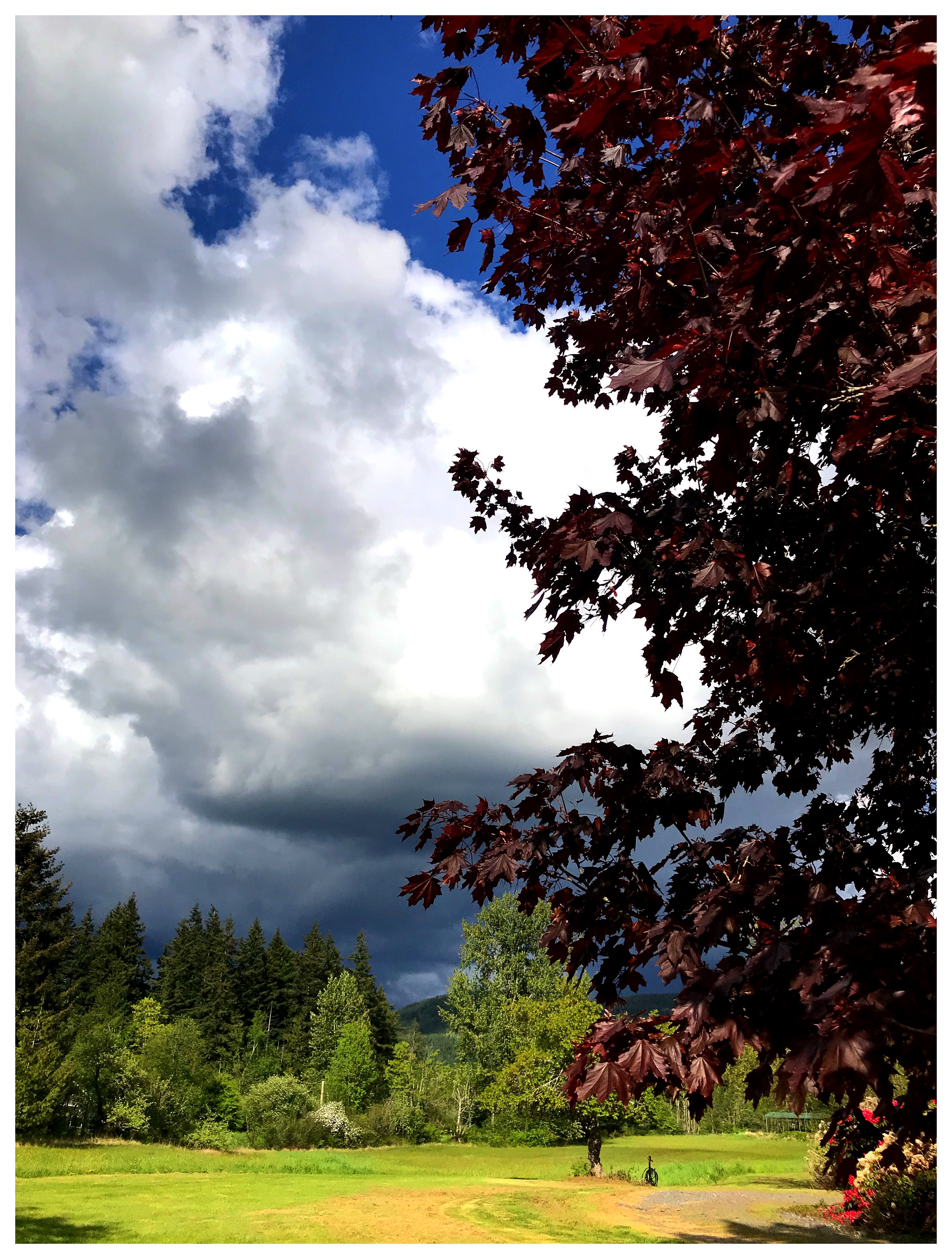
Territorial Views: Cloud Drama
Woodstock Farm Bellingham WA USA-16a
The Day of Reckoning

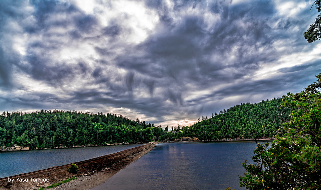
Clouds Over Bellingham Bay, Washington, Spring 2017
Lummi view to the SE
Woodstock Farm Bellingham WA USA-36a
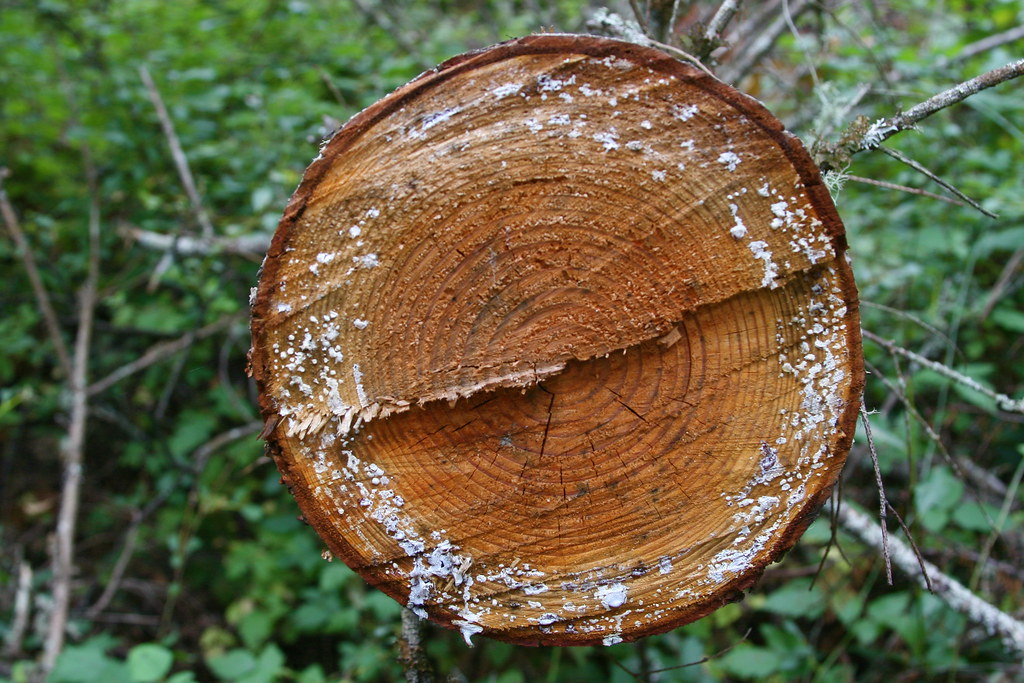
Whatcom Creek Log

Whatcom Falls Jumping Rocks
IMG_0659.JPG
IMG_0595.JPG
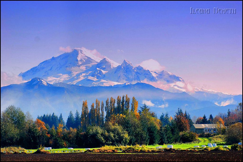
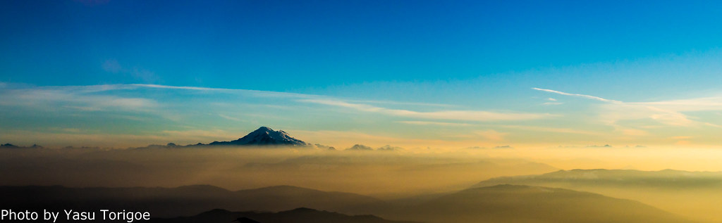
Mount Baker
"Sit down and take a moment to listen, not to the sound of your own voice but to the whispering wind around you." ~ JMP
Under the Bridge
My tidewater town

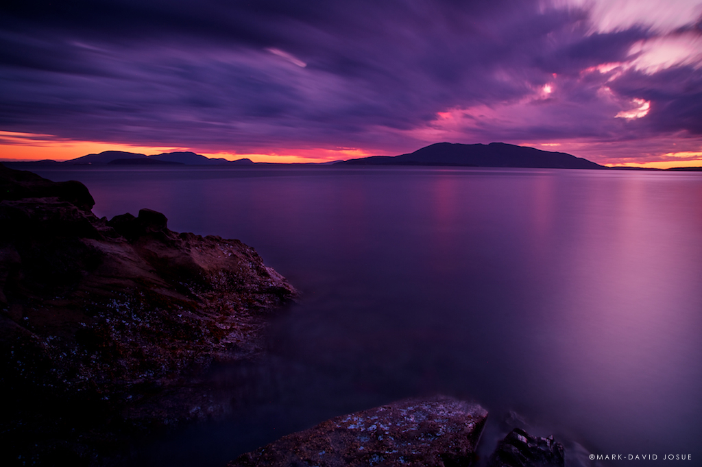
Between Storms
The Northwest Spirit
#salishzen #salishsea
Old meets new
IMG_0589.JPG
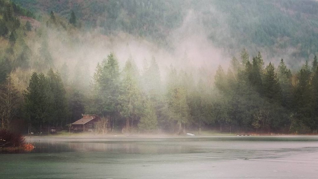
Frost and fog
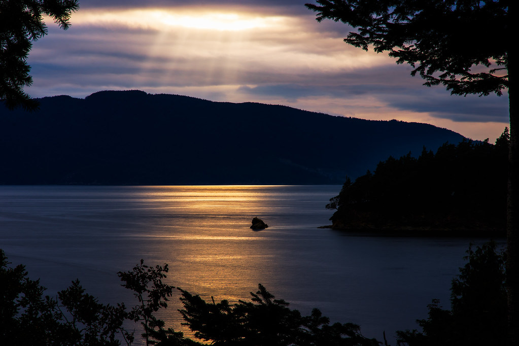
Evening Sunrays

IMG_0594.JPG
IMG_1609.JPG

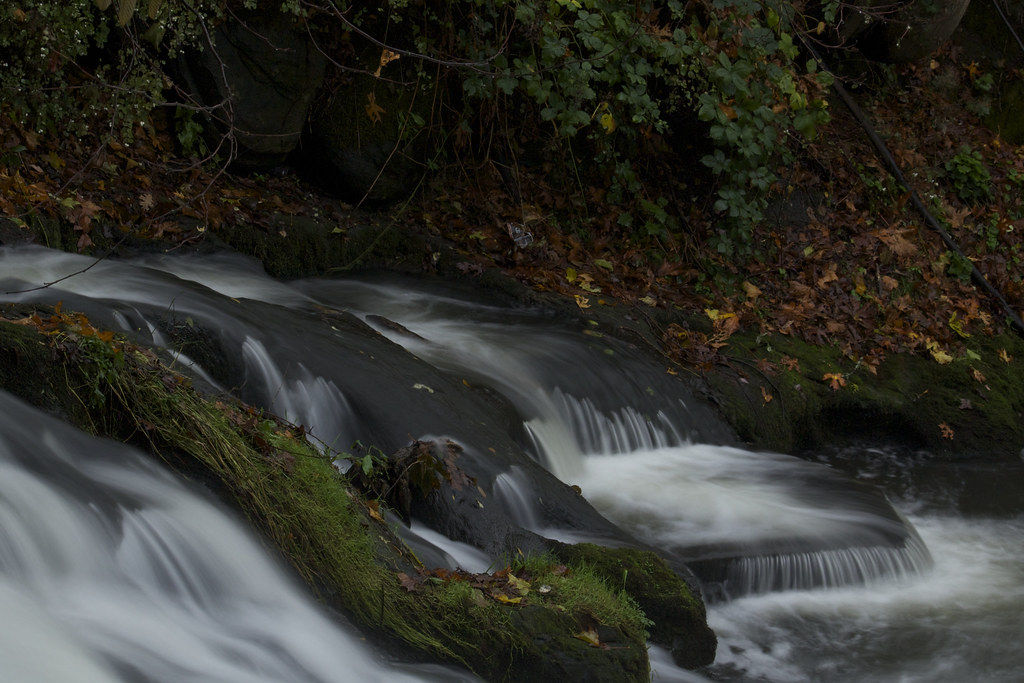
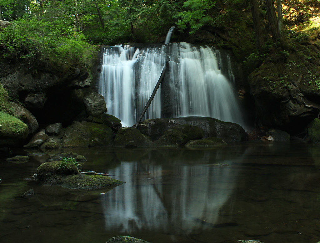
Chuckanut Falls-2
Topographic Map of Marine Dr, Bellingham, WA, USA
Find elevation by address:

Places near Marine Dr, Bellingham, WA, USA:
Bellingham International Airport
3425 Hollywood Ave
Bamboo Lane
3430 Alderwood Ave
1151 Sunset Ave
715 Marine Dr
Spoonbill Lane
3119 Cottonwood Ave
Cornwall Church
2921 Birchwood Ave
2914 Cottonwood Ave
1122 W Smith Rd
5318 Northwest Dr
5461 La Bounty Dr
2814 Cottonwood Ave
4000 Northwest Ave
2716 Madrona St
3110 Firwood Ave
Birchwood
Fuchsia Drive
Recent Searches:
- Elevation of Tenjo, Cundinamarca, Colombia
- Elevation of Côte-des-Neiges, Montreal, QC H4A 3J6, Canada
- Elevation of Bobcat Dr, Helena, MT, USA
- Elevation of Zu den Ihlowbergen, Althüttendorf, Germany
- Elevation of Badaber, Peshawar, Khyber Pakhtunkhwa, Pakistan
- Elevation of SE Heron Loop, Lincoln City, OR, USA
- Elevation of Slanický ostrov, 01 Námestovo, Slovakia
- Elevation of Spaceport America, Co Rd A, Truth or Consequences, NM, USA
- Elevation of Warwick, RI, USA
- Elevation of Fern Rd, Whitmore, CA, USA