Elevation of Marin County, CA, USA
Location: United States > California >
Longitude: -122.76330
Latitude: 38.083403
Elevation: 261m / 856feet
Barometric Pressure: 98KPa
Elevation Map:
Satellite Map:
Related Photos:
Myst - Point Reyes National Seashore, California

Dream Boat - Point Reyes Shipwreck

The Wreck Of The Point Reyes 8176

A Country View
Another Country View
marsh at dusk

Marshall - Great Blue Heron on Boat Seals In Background

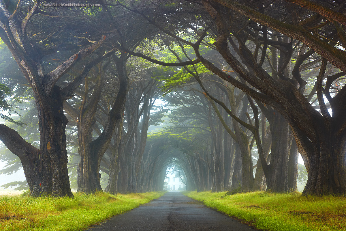
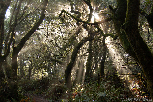
Tunnel of Trees
All Things Bright and Beautiful
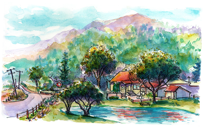
The Cheese Factory
Giacomini Wetlands Restoration Project - Tomales Coastal Access Point
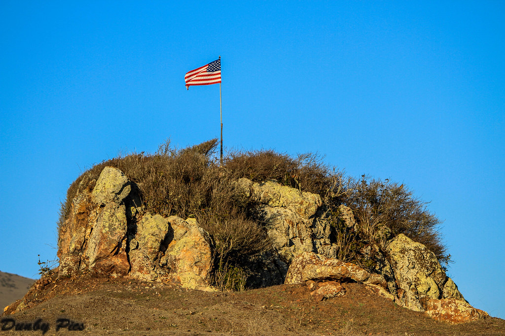
American Flag on Rock - Nicasio Reservoir
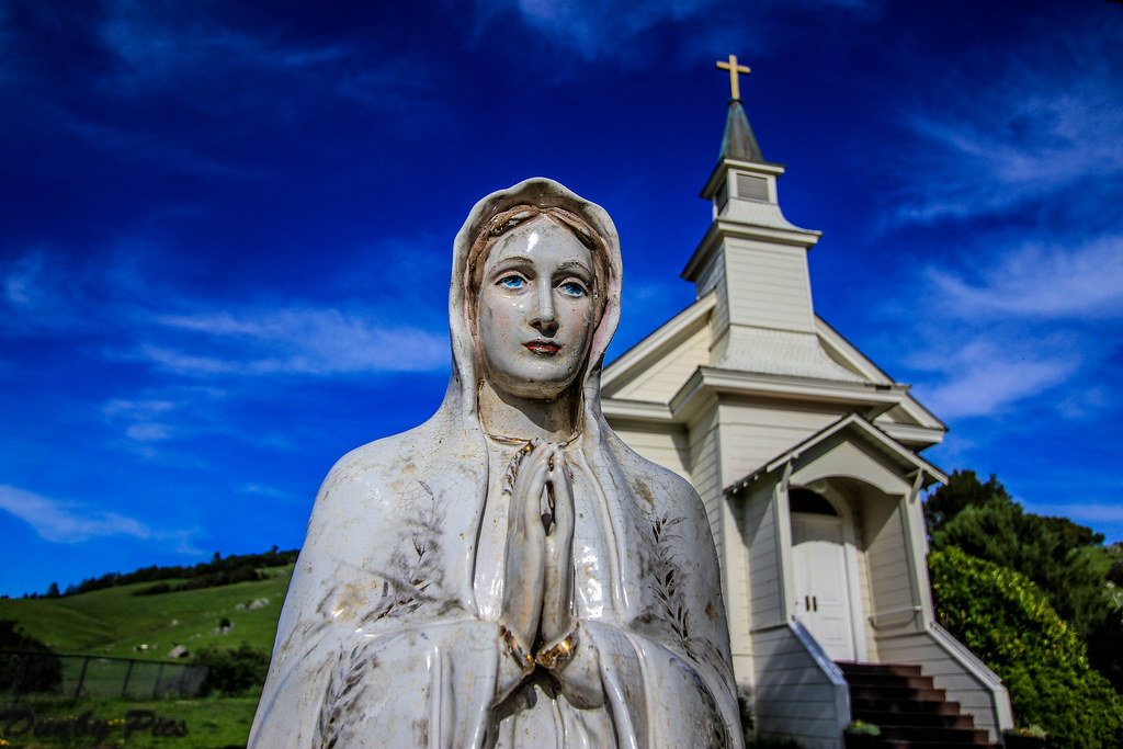
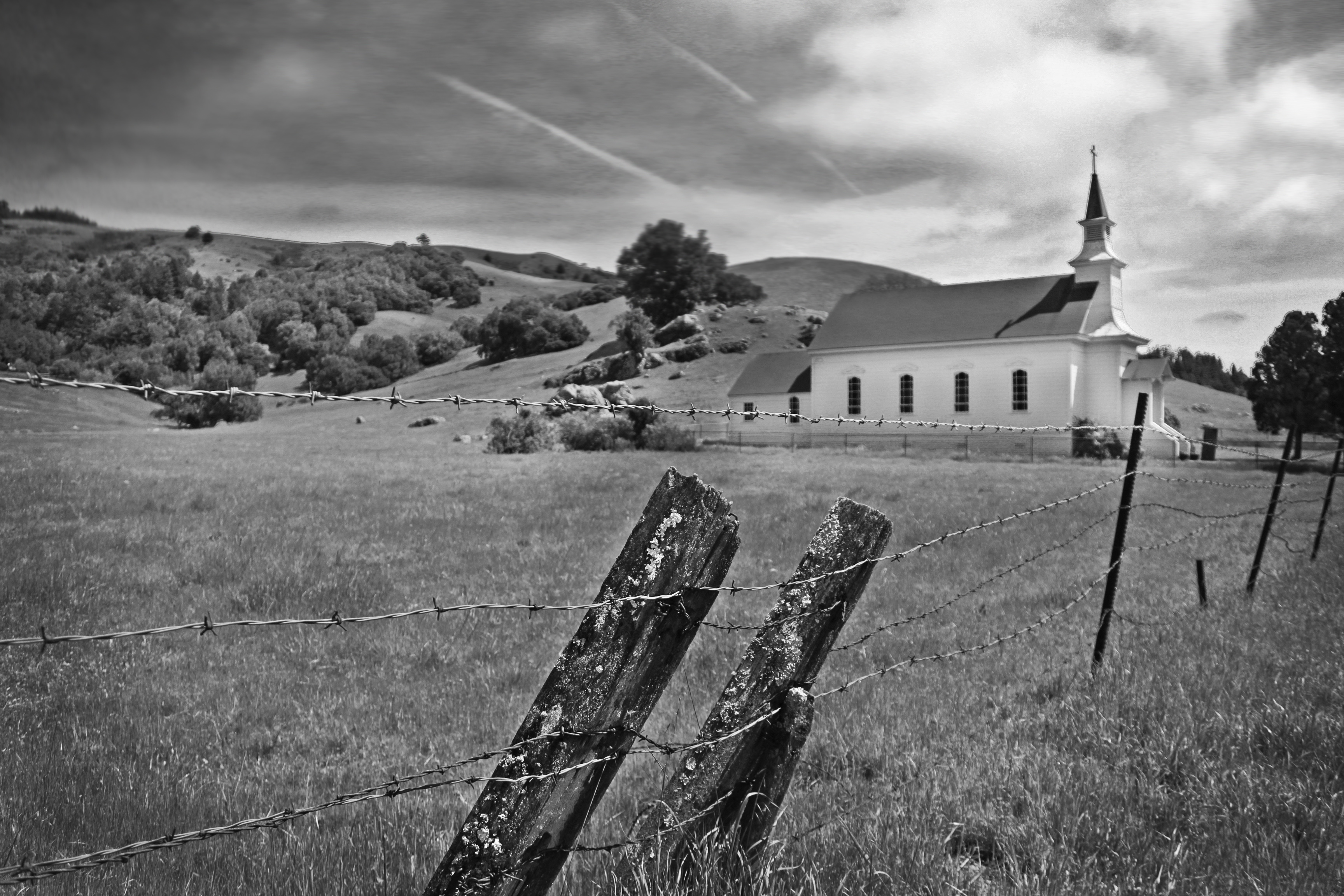
Happy Easter - St. Marys Church Nicasio California
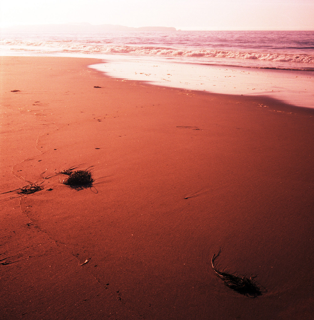
red beach
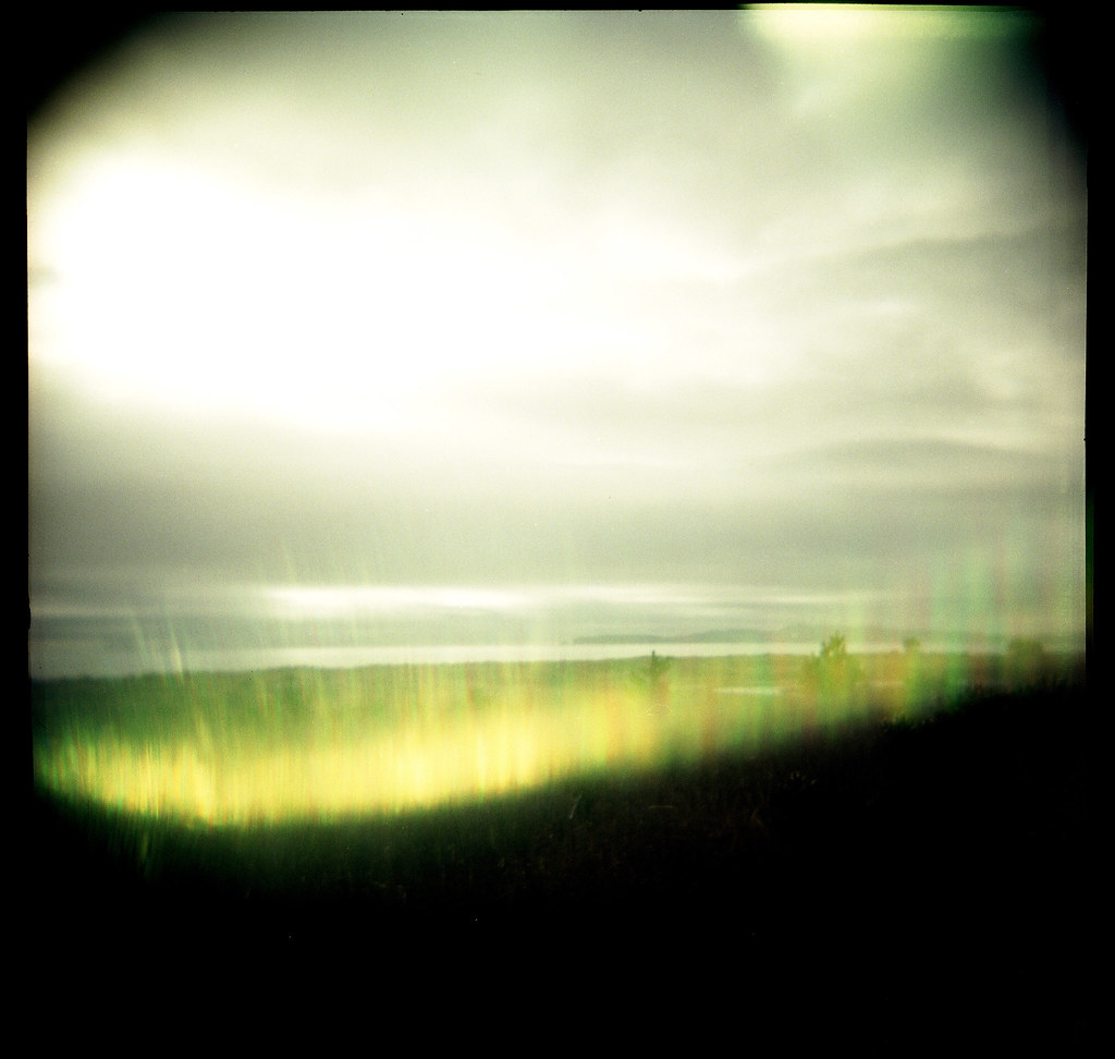
limantour flare
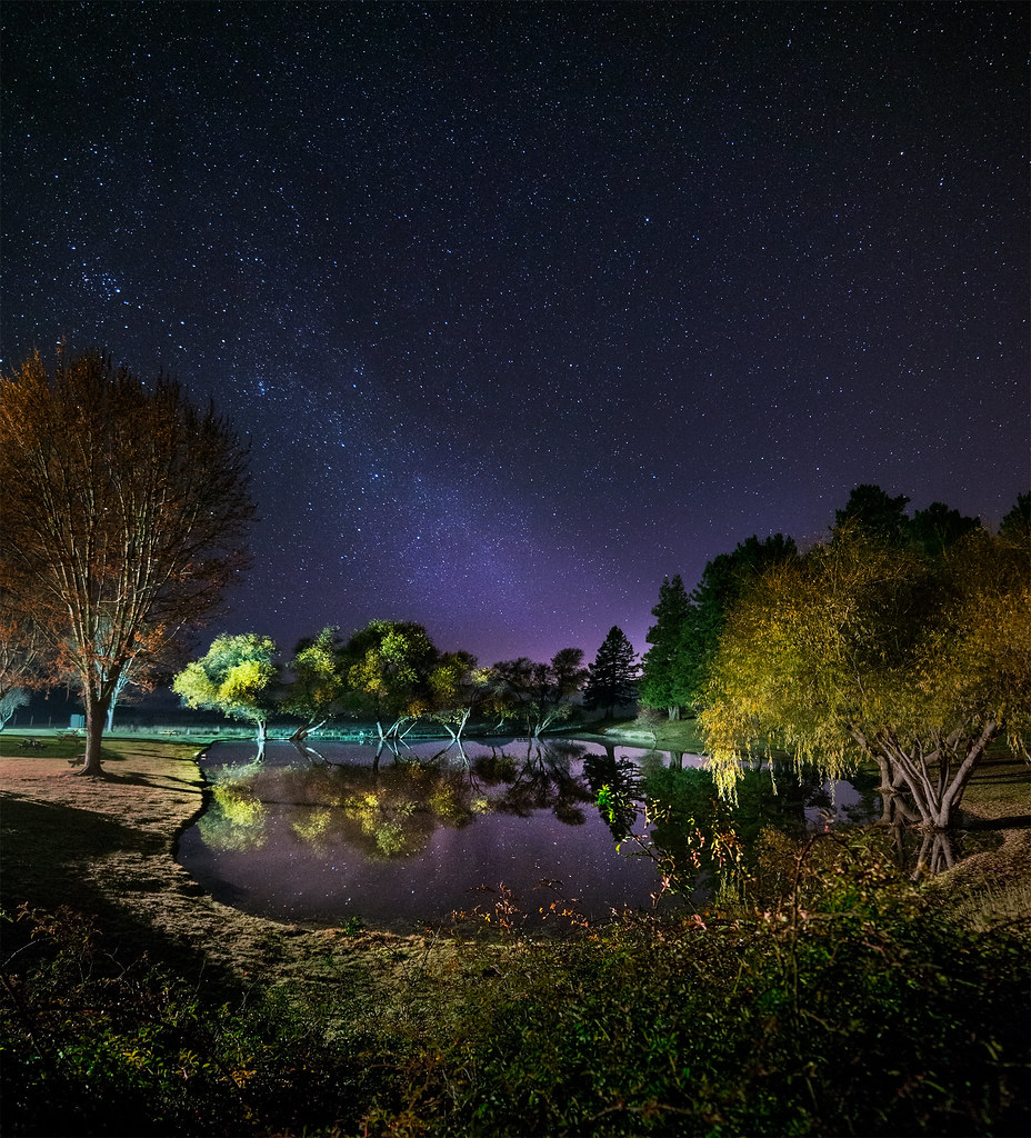
Night Lake

Foggy January Morning at Tomales Bay
Country Road Landscapes - Nicasio Reservoir

shack door

Petaluma-Marshall & Point Reyes Roads

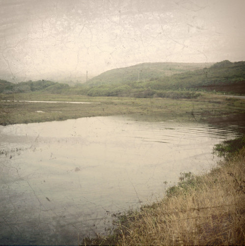
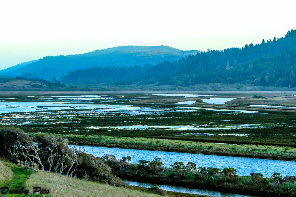
Small river wetlands.
Streams of Light
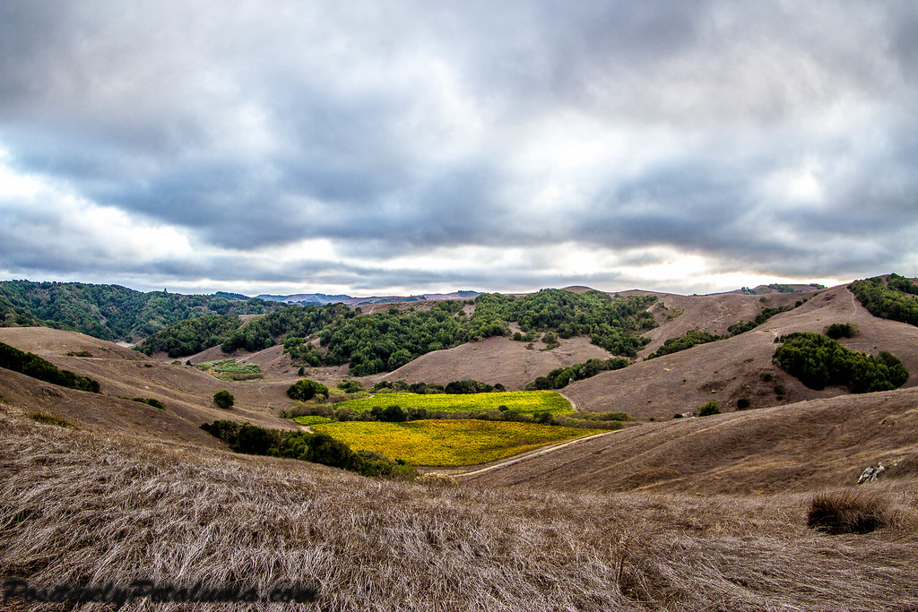
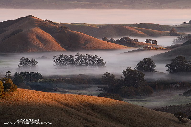
Hills Of Petaluma

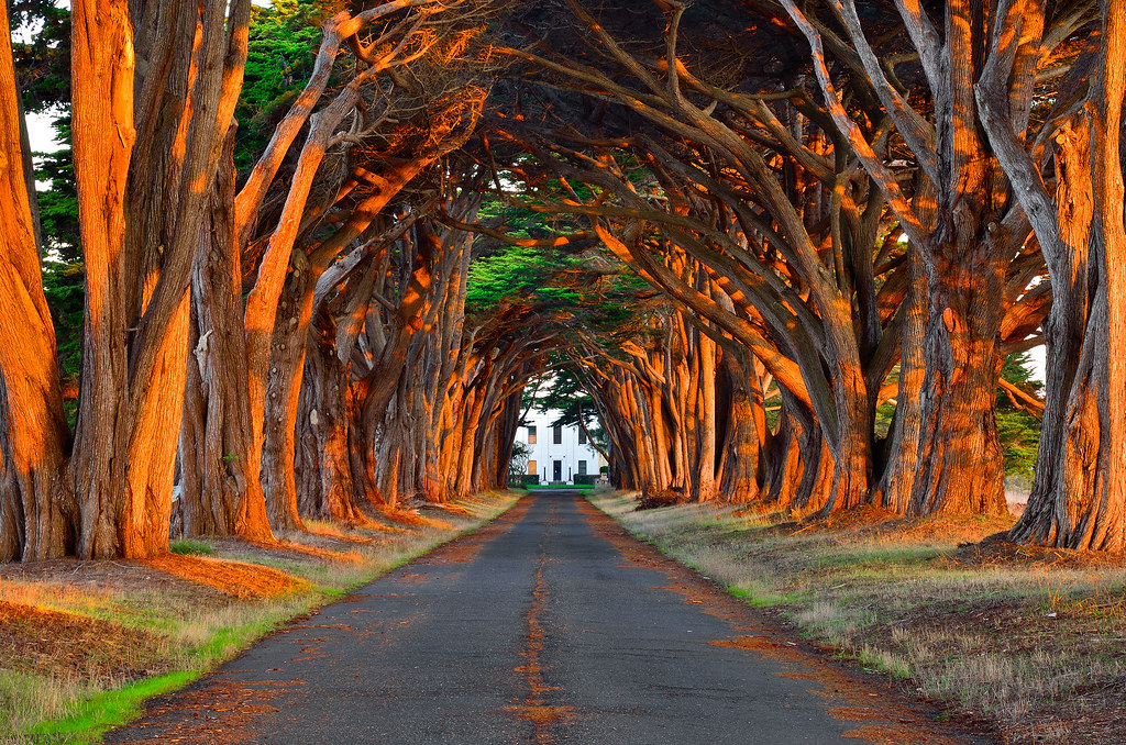
USA // California // Point Reyes // Cypress Tree Tunnel at KPH
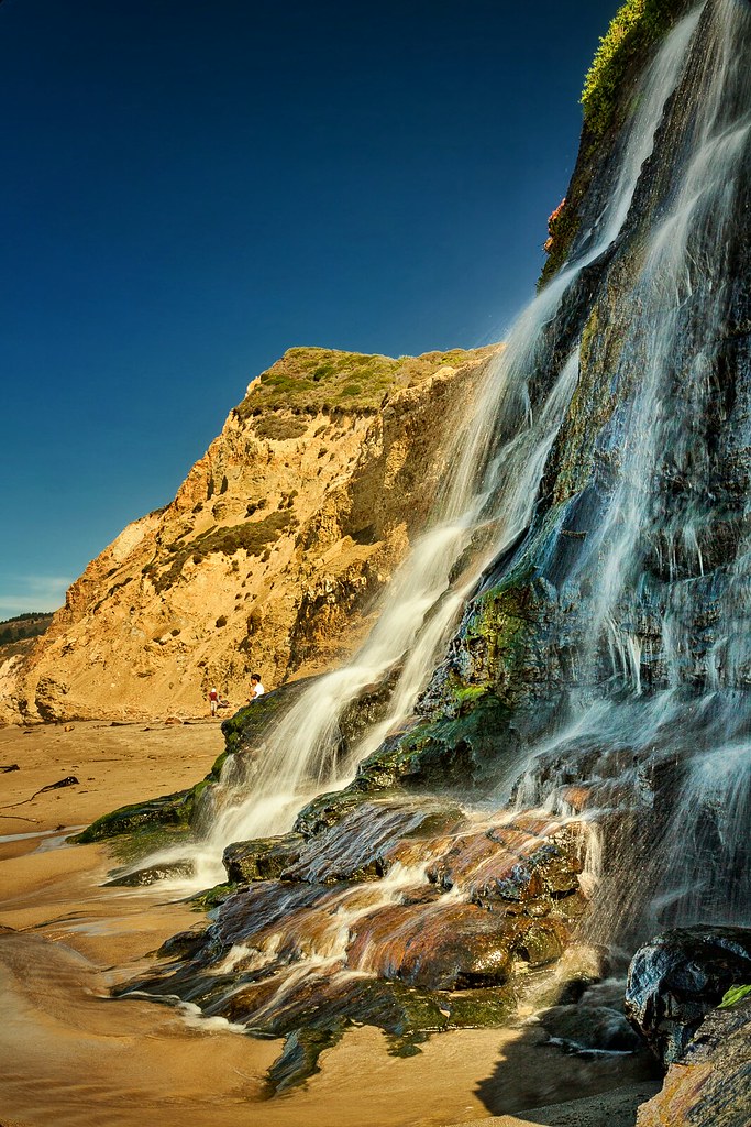
Alamere Falls - Explored
Morning Sunlit Tree Tunnel
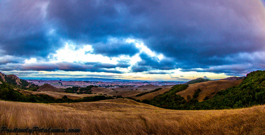
Hills Of Petaluma

Quiet Dawn

The Tree Alley

Sunset on the Nicasio Reservoir Last Light
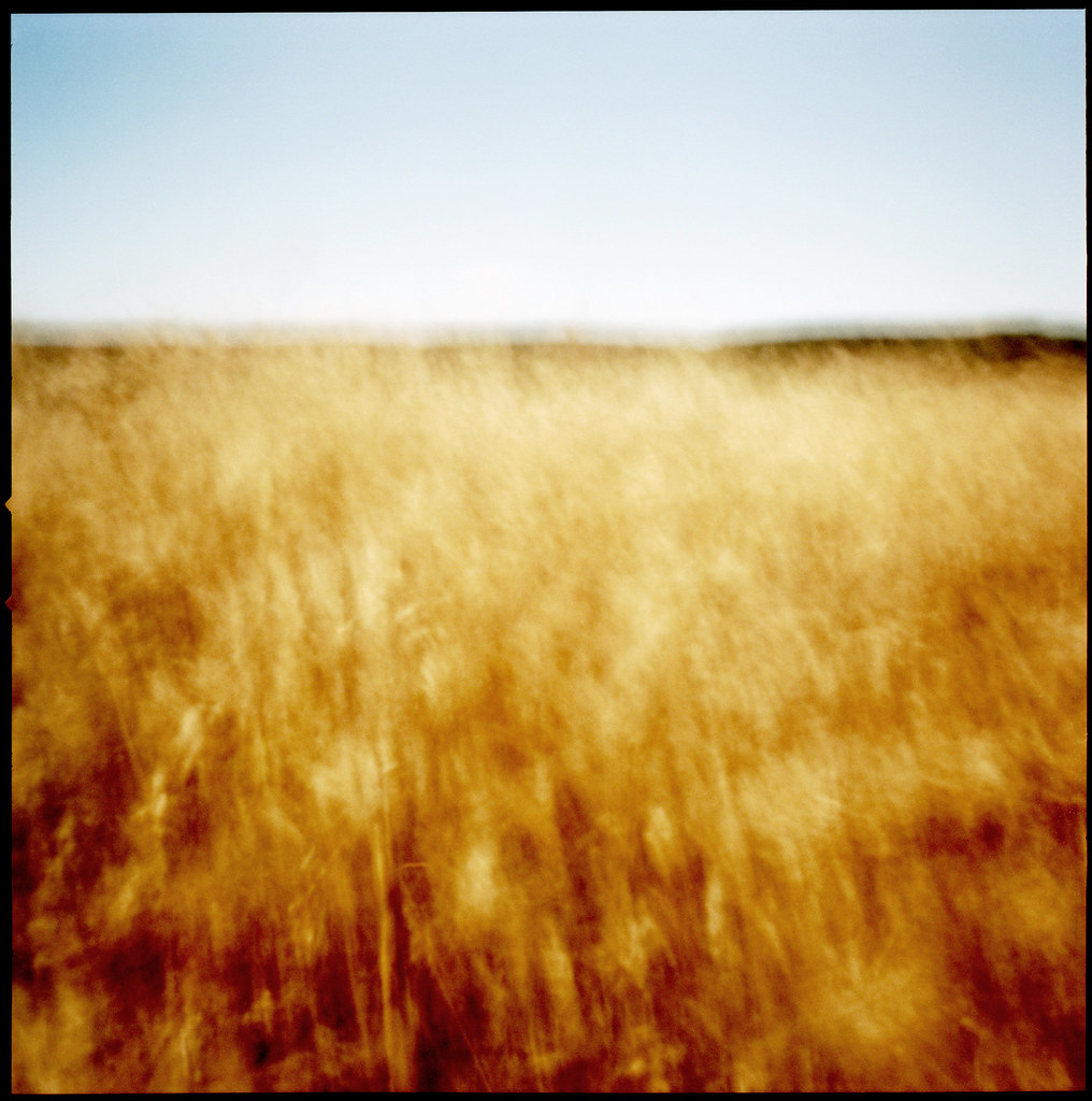
grass in wind, again

path in grass

Inverness Shipwreck

limantour beach - textured

Red Sky Morning
Petaluma-Marshall & Point Reyes Roads
Topographic Map of Marin County, CA, USA
Find elevation by address:

Places in Marin County, CA, USA:
San Rafael
Novato
Belvedere Tiburon
Marshall
Corte Madera
Lagunitas-forest Knolls
Sausalito
Tamalpais-homestead Valley
San Anselmo
Strawberry
Bolinas
Point Reyes Station
Dillon Beach
Inverness
Woodacre
Stinson Beach
Kentfield
Tomales
Santa Venetia
Fairfax
Muir Beach
Nicasio
Ross
San Quentin
Larkspur
Madrone Ave, Larkspur, CA, USA
Redwood Hwy, Petaluma, CA, USA
Belvedere
Point Reyes
San Geronimo
Places near Marin County, CA, USA:
Sir Francis Drake Blvd, Point Reyes Station, CA, USA
Point Reyes Station
Sir Francis Drake Blvd, Point Reyes Station, CA, USA
Shoreline Hwy, Point Reyes Station, CA, USA
4 Portola Ave, San Rafael, CA, USA
Nicasio
Nicasio Valley Rd, Nicasio, CA, USA
CA-1, Marshall, CA, USA
Shoreline Hwy, Bolinas, CA, USA
557 Tamal Rd
Sir Francis Drake Blvd, Inverness, CA, USA
Inverness
30 Mountain View Rd, Fairfax, CA, USA
Lagunitas-forest Knolls
Sir Francis Drake Blvd, Forest Knolls, CA, USA
Forest Knolls
Lagunitas-forest Knolls
61 Juarez Ave
Wilson Hill Road
30 Escondido Way, Inverness, CA, USA
Recent Searches:
- Elevation of Corso Fratelli Cairoli, 35, Macerata MC, Italy
- Elevation of Tallevast Rd, Sarasota, FL, USA
- Elevation of 4th St E, Sonoma, CA, USA
- Elevation of Black Hollow Rd, Pennsdale, PA, USA
- Elevation of Oakland Ave, Williamsport, PA, USA
- Elevation of Pedrógão Grande, Portugal
- Elevation of Klee Dr, Martinsburg, WV, USA
- Elevation of Via Roma, Pieranica CR, Italy
- Elevation of Tavkvetili Mountain, Georgia
- Elevation of Hartfords Bluff Cir, Mt Pleasant, SC, USA