Elevation of Maries Rd, Vichy, MO, USA
Location: United States > Missouri > Maries County >
Longitude: -91.751312
Latitude: 38.1300352
Elevation: 341m / 1119feet
Barometric Pressure: 97KPa
Elevation Map:
Satellite Map:
Related Photos:
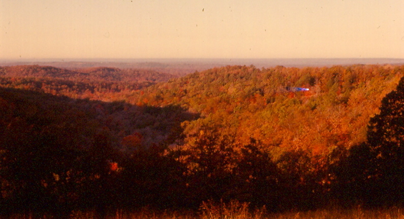
Gasconade River Valley, Maries County (Mo.), 25 October 1980
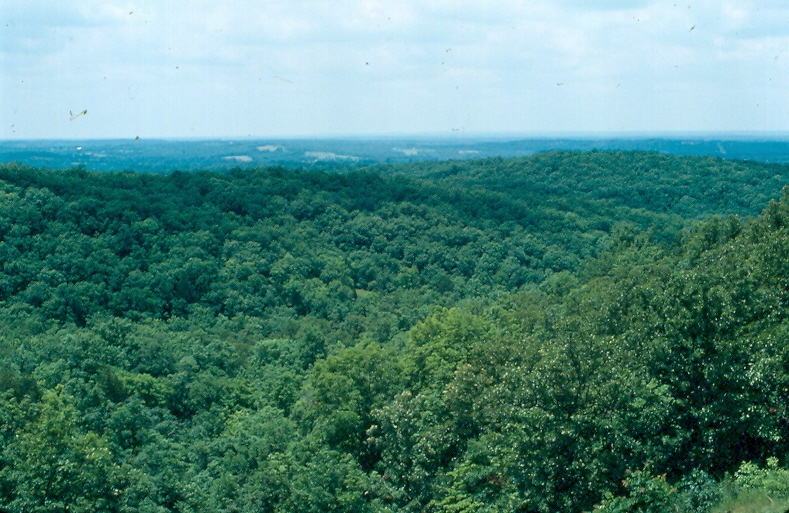
Gasconade River Valley, Maries County (Mo.), 19 June 1982
Ranch - House
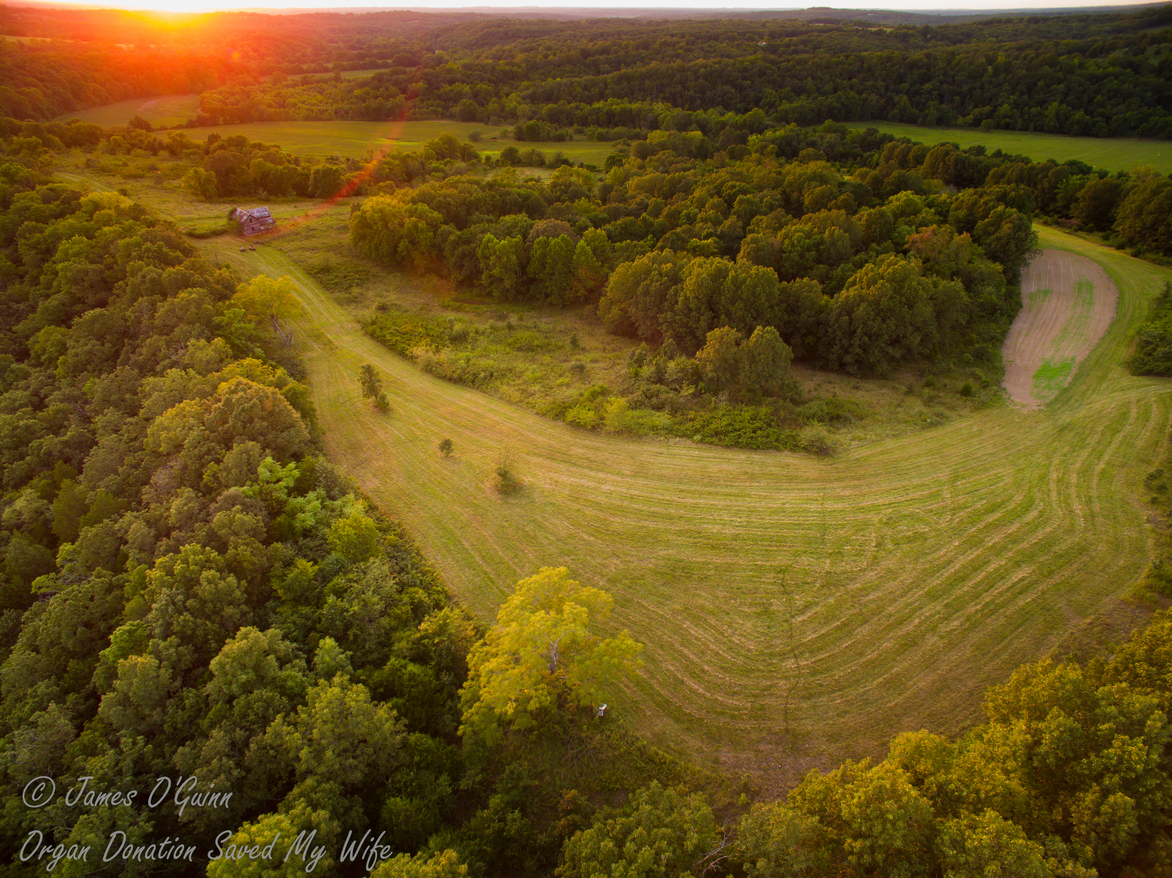
The Country I Come from is Called the Midwest :: HDR

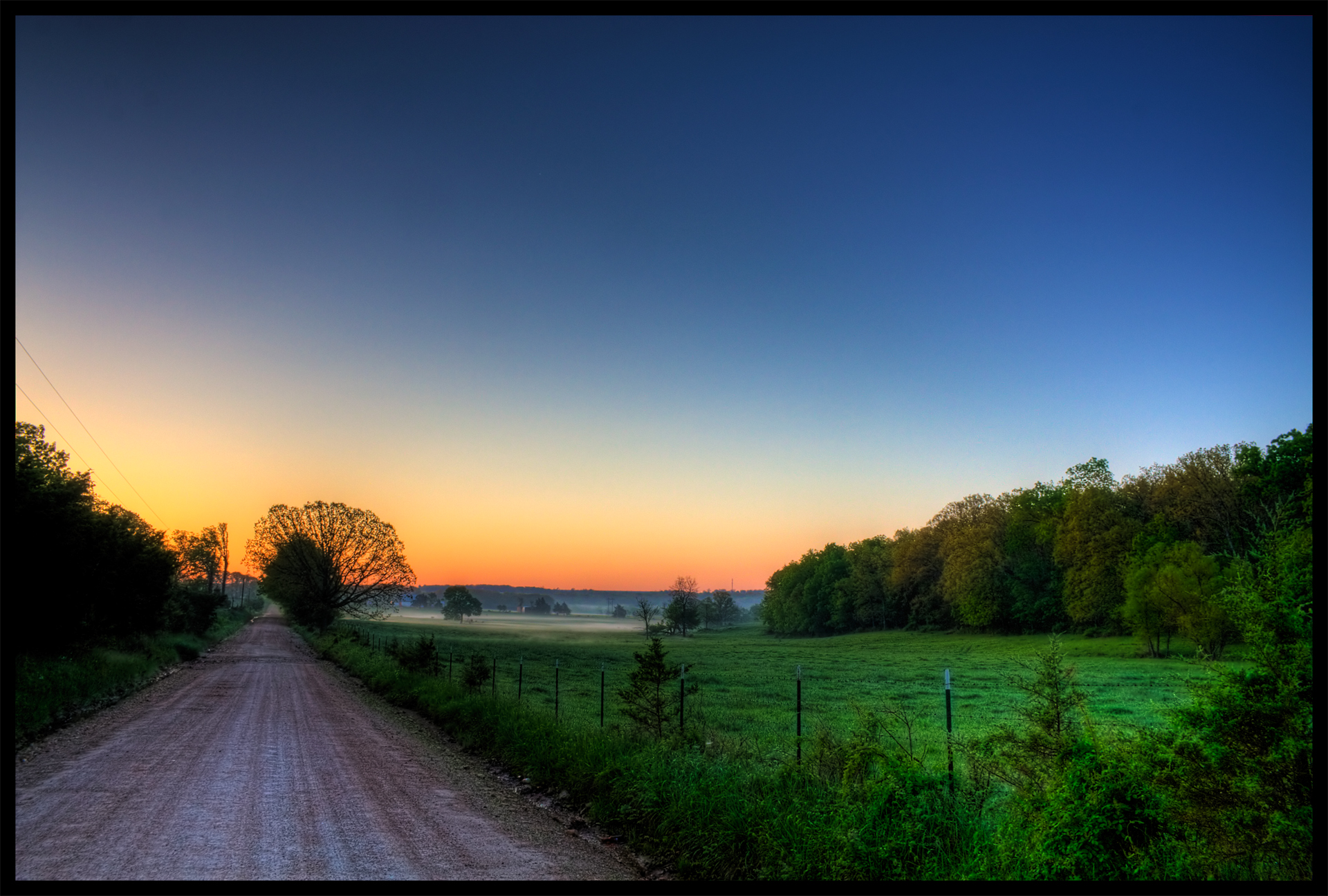
Fog Over Gasconade River Valley
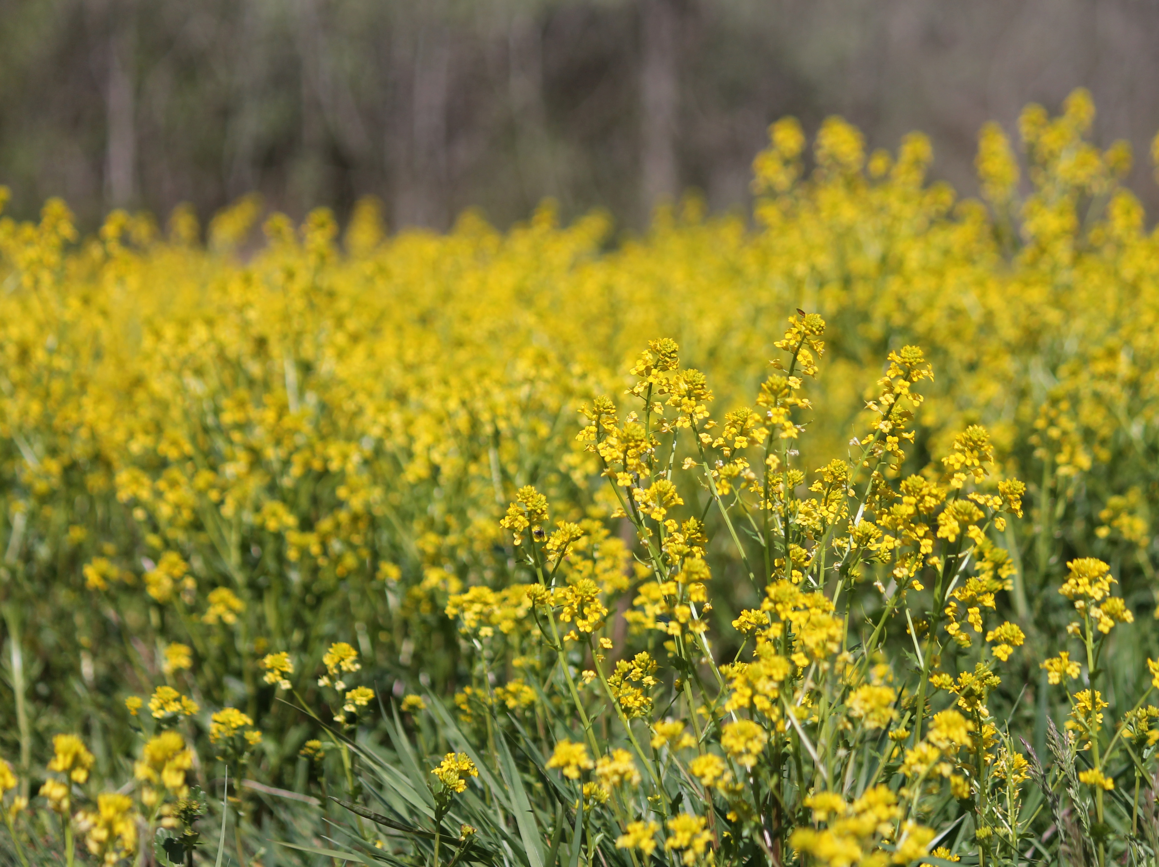
Garlic Mustard Field

Great Spangled Fritillary

Great Spangled Fritillary

Towell Lake, Phelps County (Mo.), 28 June 2015

Dead squirrel

Northern Mockingbird

Post Office 65580 (Vichy, Missouri)

The Abandoned House - Farm - Night - Light- (2 of 3)

The Abandoned House - Farm - Night

Yellow-rumped Warbler

Yellow-rumped Warbler

Common Buckeye

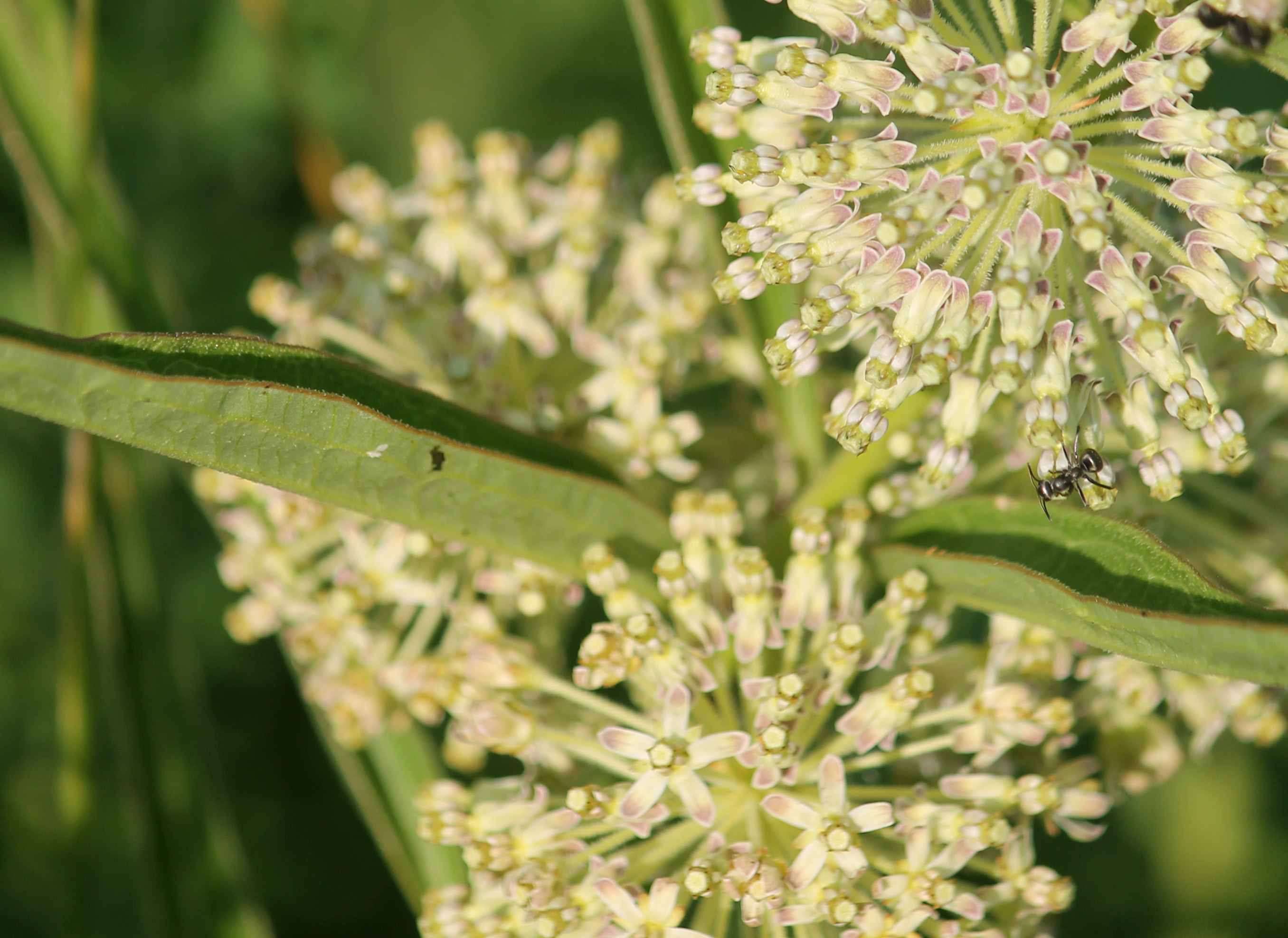
Swamp Milkweed

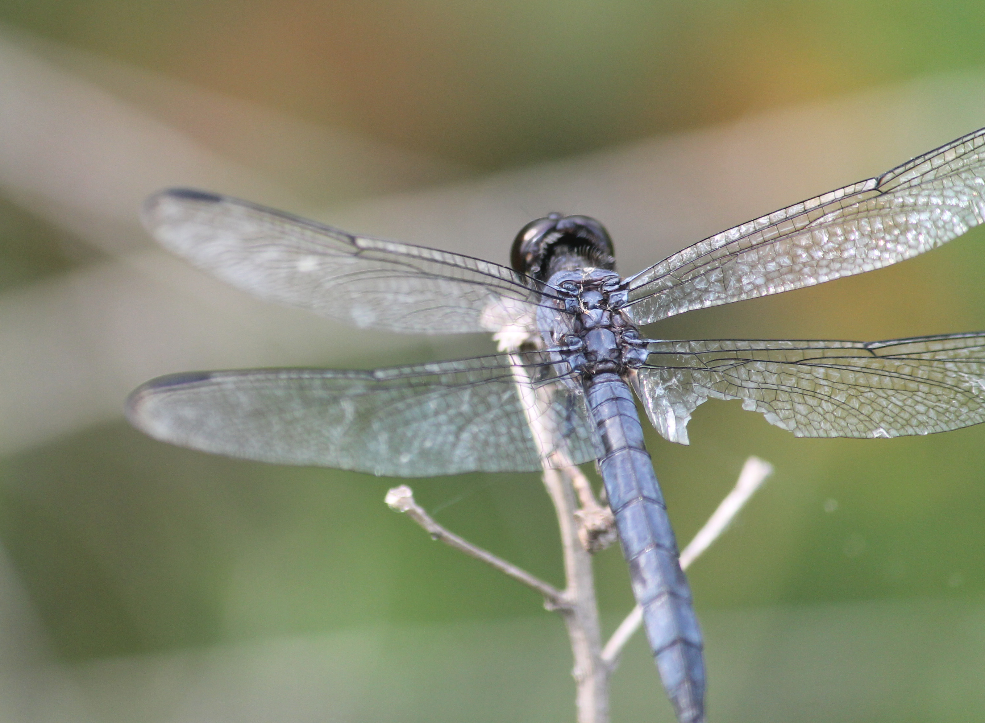
Eastern Pondhawk

Eastern Pondhawk

Blue Dasher

Tiger Swallowtail
Slaty Skimmer

Eastern Pondhawk

Barn Swallow
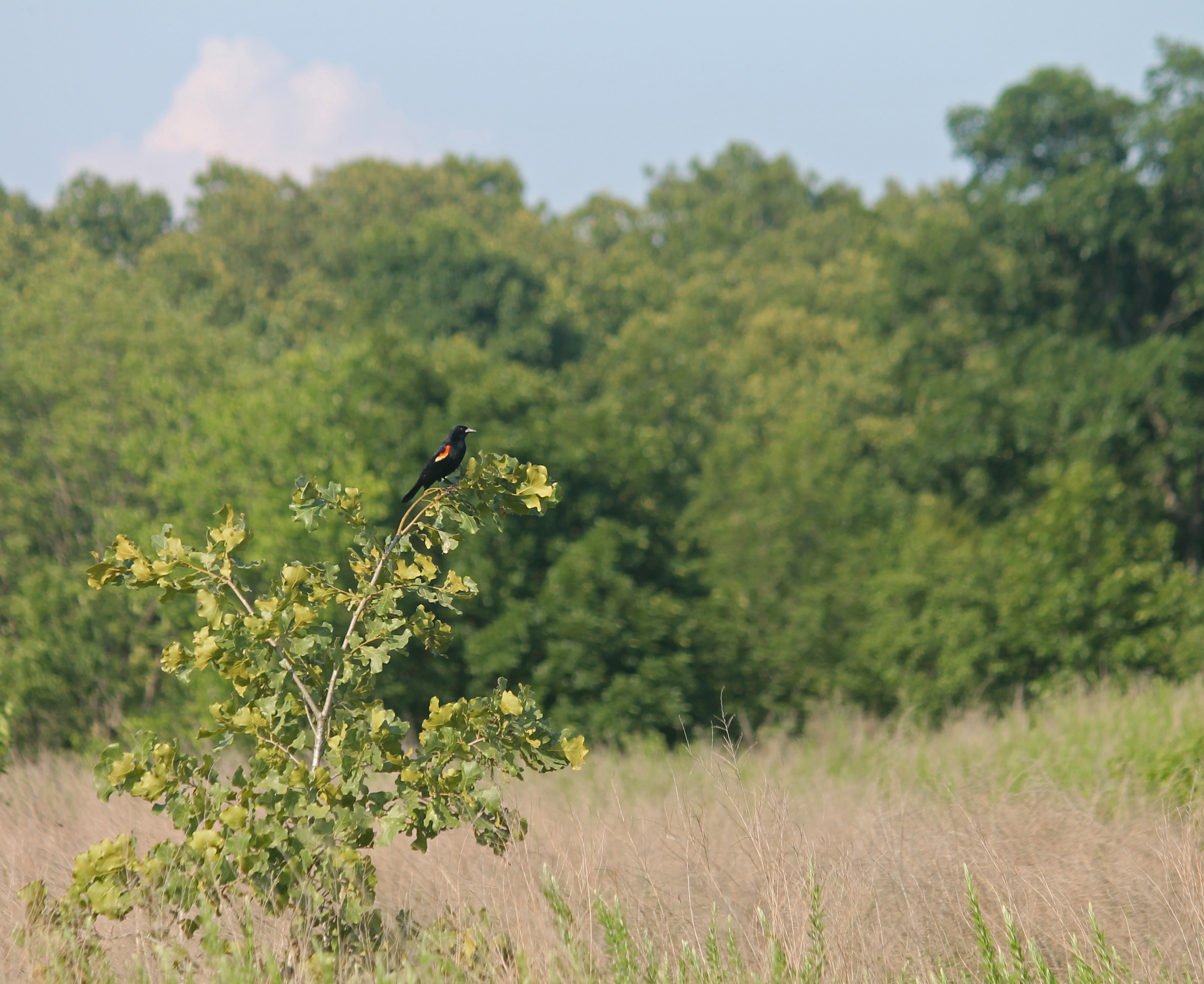
Red-winged Blackbird
Longleaf Milkweed

Bird's Foot Violet

Palm Warbler
Topographic Map of Maries Rd, Vichy, MO, USA
Find elevation by address:

Places near Maries Rd, Vichy, MO, USA:
14845 Private Drive 1124
Miller Township
State Route V
4331 Elk Head Rd
Co Rd, Rolla, MO, USA
14319 State Rte Y
15 Terry Ln
St James City Police
Saint James
Maries County
Bland
St. James Township
Clay Township
Co Rd, St James, MO, USA
3825 Miller Dr
State Hwy ZZ, Cuba, MO, USA
Osage County
1111 Beamer Ln
202 L And D Dr
102 E Oak Ln
Recent Searches:
- Elevation of Congressional Dr, Stevensville, MD, USA
- Elevation of Bellview Rd, McLean, VA, USA
- Elevation of Stage Island Rd, Chatham, MA, USA
- Elevation of Shibuya Scramble Crossing, 21 Udagawacho, Shibuya City, Tokyo -, Japan
- Elevation of Jadagoniai, Kaunas District Municipality, Lithuania
- Elevation of Pagonija rock, Kranto 7-oji g. 8"N, Kaunas, Lithuania
- Elevation of Co Rd 87, Jamestown, CO, USA
- Elevation of Tenjo, Cundinamarca, Colombia
- Elevation of Côte-des-Neiges, Montreal, QC H4A 3J6, Canada
- Elevation of Bobcat Dr, Helena, MT, USA