Elevation of Marble NW4, Improvement District No. 12, AB T0E, Canada
Location: Canada > Alberta > Division No. 15 > Improvement District No. 12 >
Longitude: -117.09666
Latitude: 52.375
Elevation: 2917m / 9570feet
Barometric Pressure: 71KPa
Elevation Map:
Satellite Map:
Related Photos:
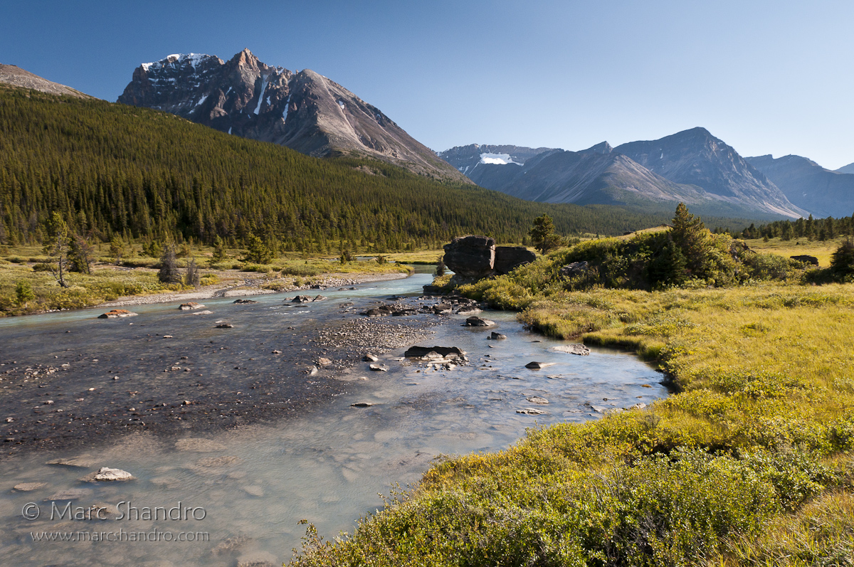
Brazeau River Valley - Jasper Alberta - Candian Rockies

Descending Jonas Shoulder
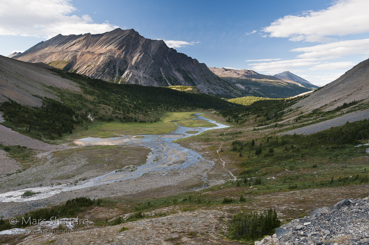
Brazeau River Valley from Nigel Pass
Topographic Map of Marble NW4, Improvement District No. 12, AB T0E, Canada
Find elevation by address:

Places near Marble NW4, Improvement District No. 12, AB T0E, Canada:
Flat Ridge
Brazeau Lake
Marble Mountain
Chocolate Mountain
Mount Aztec
Poboktan Mountain
Sunwapta E3
Nigel Peak
Nigel Se3
Sunwapta Pass
Copia Peak
Rebakah Peak
Sunwapta Peak
Wilcox Pass Trail
Parker Ridge Trailhead
Parker Ridge
Wilcox Peak
Hilda Peak
Columbia Icefield Discovery Centre
Moriah Peak
Recent Searches:
- Elevation of Corso Fratelli Cairoli, 35, Macerata MC, Italy
- Elevation of Tallevast Rd, Sarasota, FL, USA
- Elevation of 4th St E, Sonoma, CA, USA
- Elevation of Black Hollow Rd, Pennsdale, PA, USA
- Elevation of Oakland Ave, Williamsport, PA, USA
- Elevation of Pedrógão Grande, Portugal
- Elevation of Klee Dr, Martinsburg, WV, USA
- Elevation of Via Roma, Pieranica CR, Italy
- Elevation of Tavkvetili Mountain, Georgia
- Elevation of Hartfords Bluff Cir, Mt Pleasant, SC, USA