Elevation of Marble Hill Rd, Friendsville, TN, USA
Location: United States > Tennessee > Blount County > Friendsville >
Longitude: -84.140205
Latitude: 35.718376
Elevation: 275m / 902feet
Barometric Pressure: 98KPa
Elevation Map:
Satellite Map:
Related Photos:
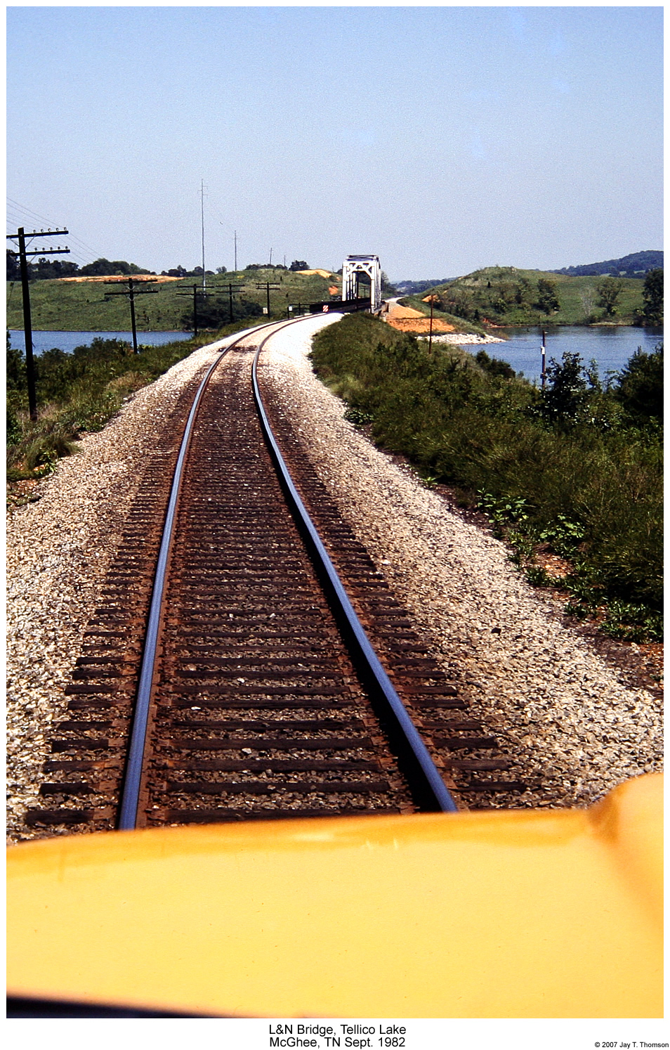
L&N Tellico Lake Bridge

Sloan Hardware -A TRADITION OF RETAIL
THREE MILLION VIEWS
View from Unit52 #xspindoc #WHQ
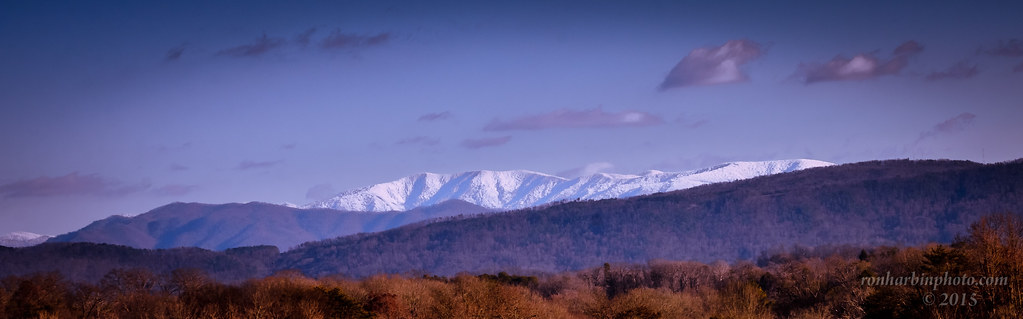
White Cap Smoky Mountains

Sunflowerpalooza!

Brown-headed Nuthatch

Brown-headed Nuthatch
The View from Admiral Farragut Park

Northern Parula
pete155.jpg
View from the fort
Deep Freeze

lock_loudon.jpg

docks_ice.jpg

Duck Cove

Flight of the Mallard

Northern Parula

Cape May Warbler
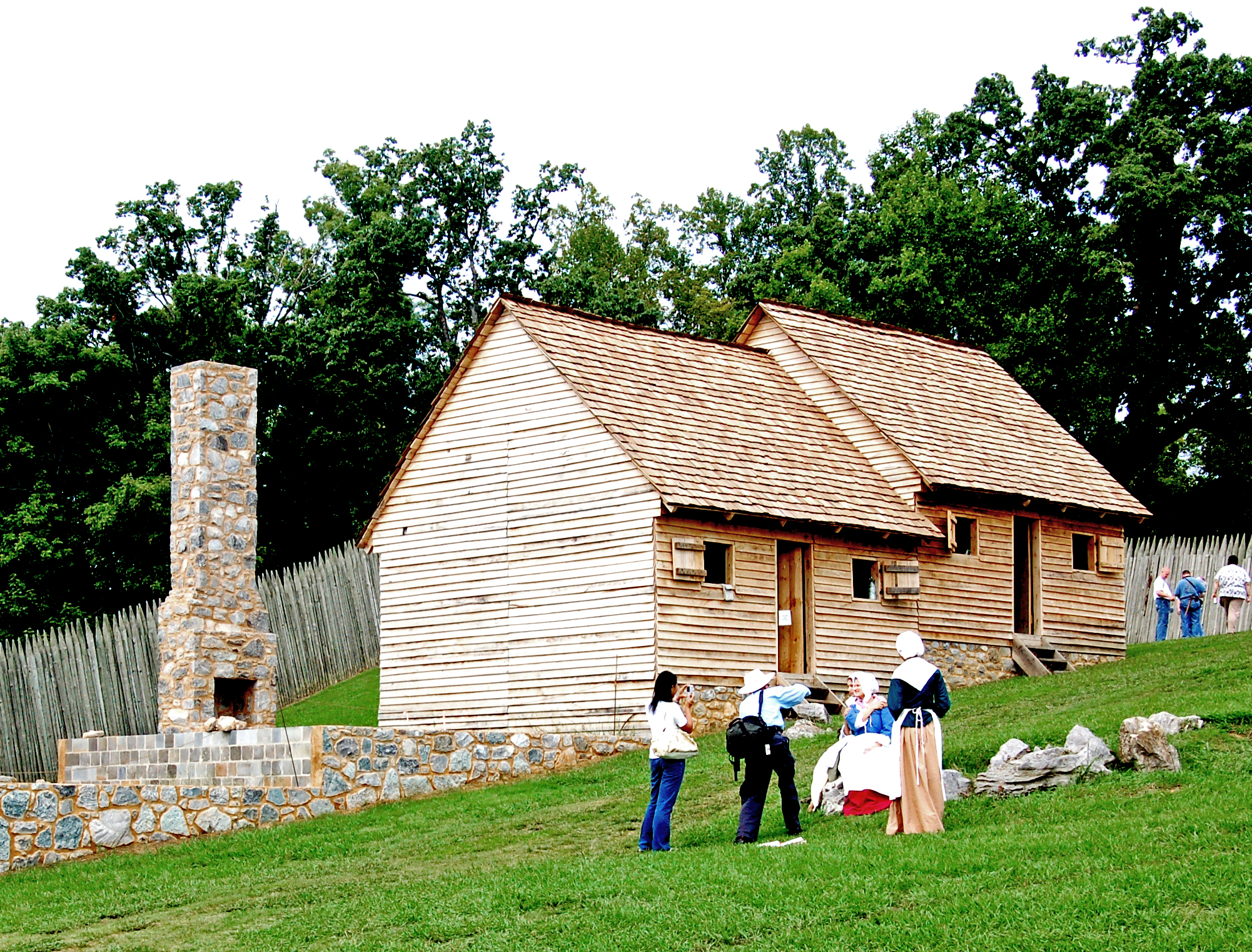
A View of the Fort's Interior
Red-necked Grebe1
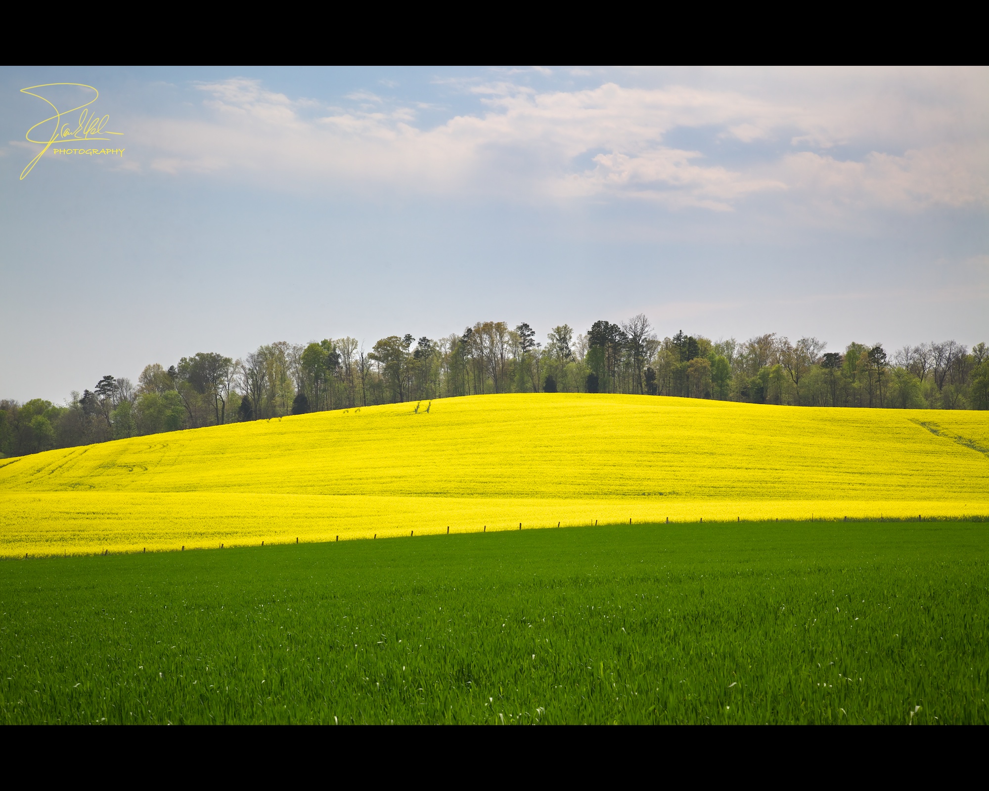
Canola Field
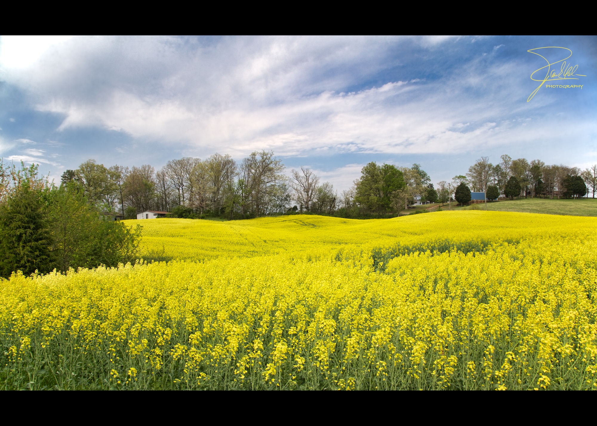
Canola Field

Weeping Willow
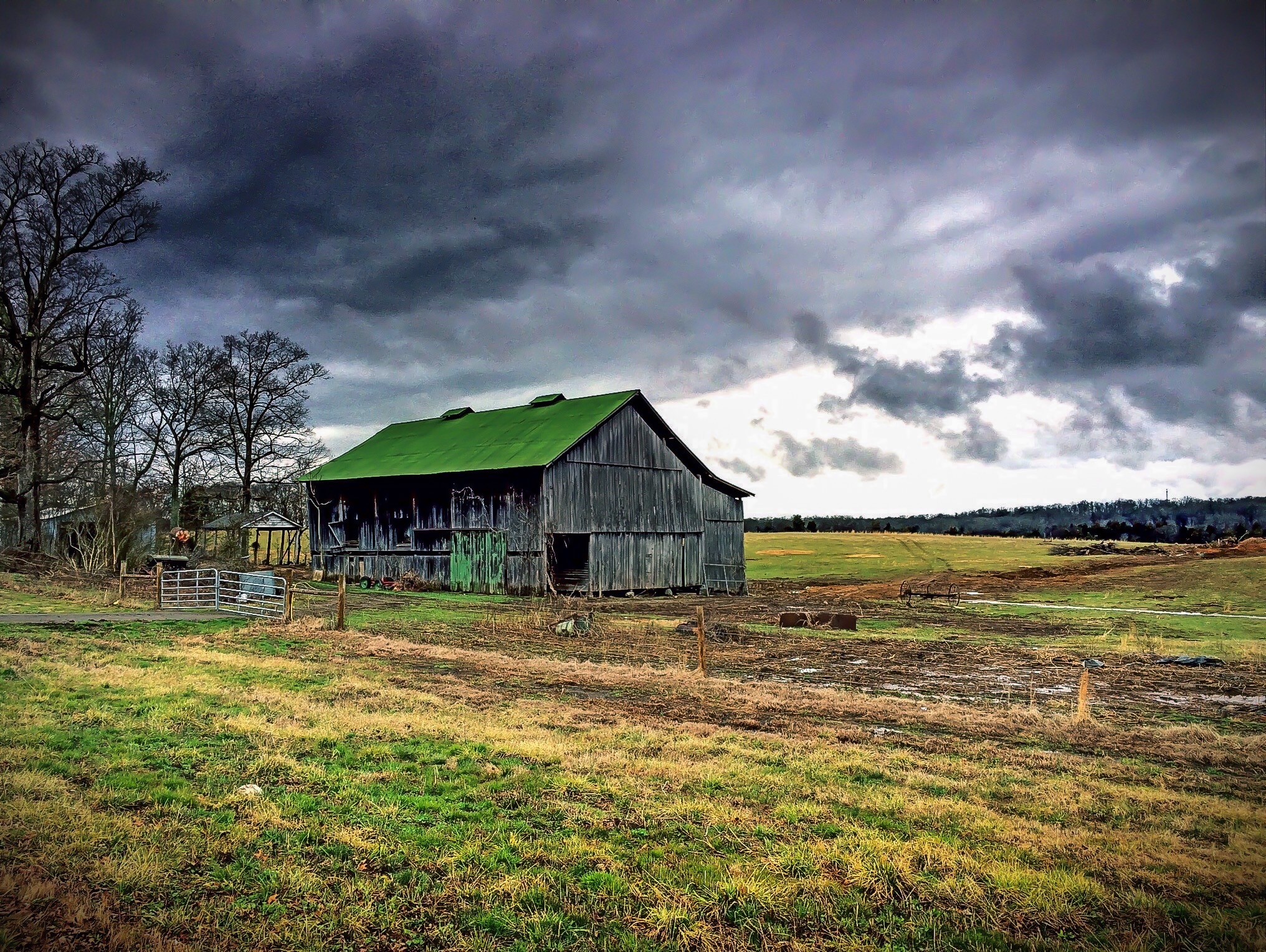
Barn on Hwy 411
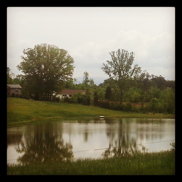
Emerald reflection

2011-11-08 06.55.48
2011-10-14 05.29.22
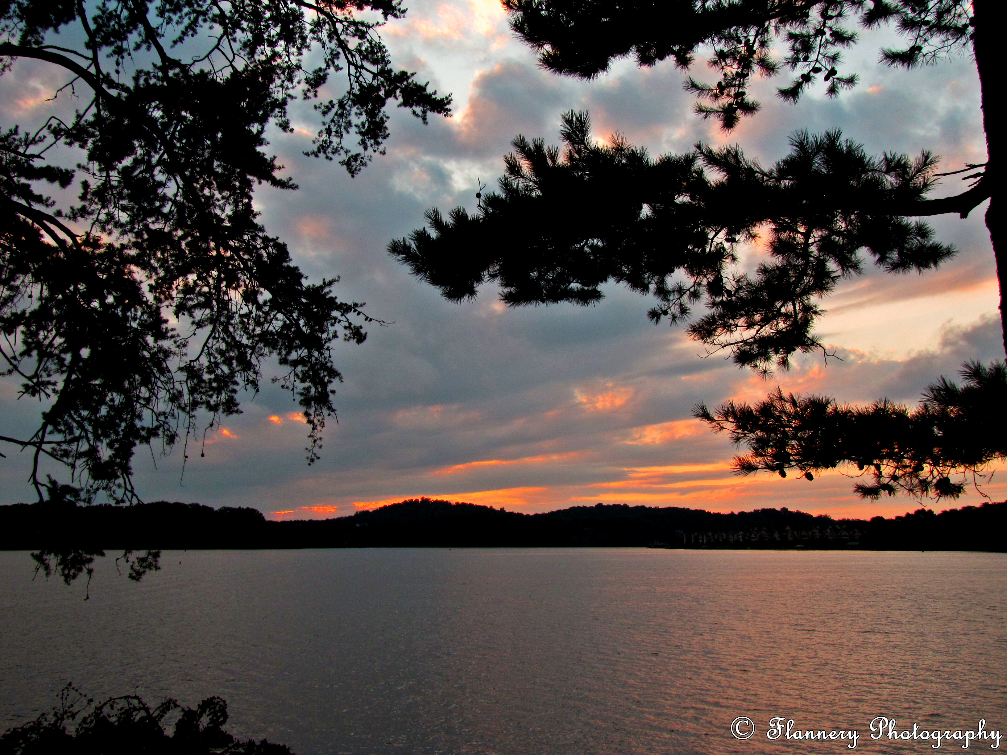
Sunset at Louisville Point Park September 16, 2014
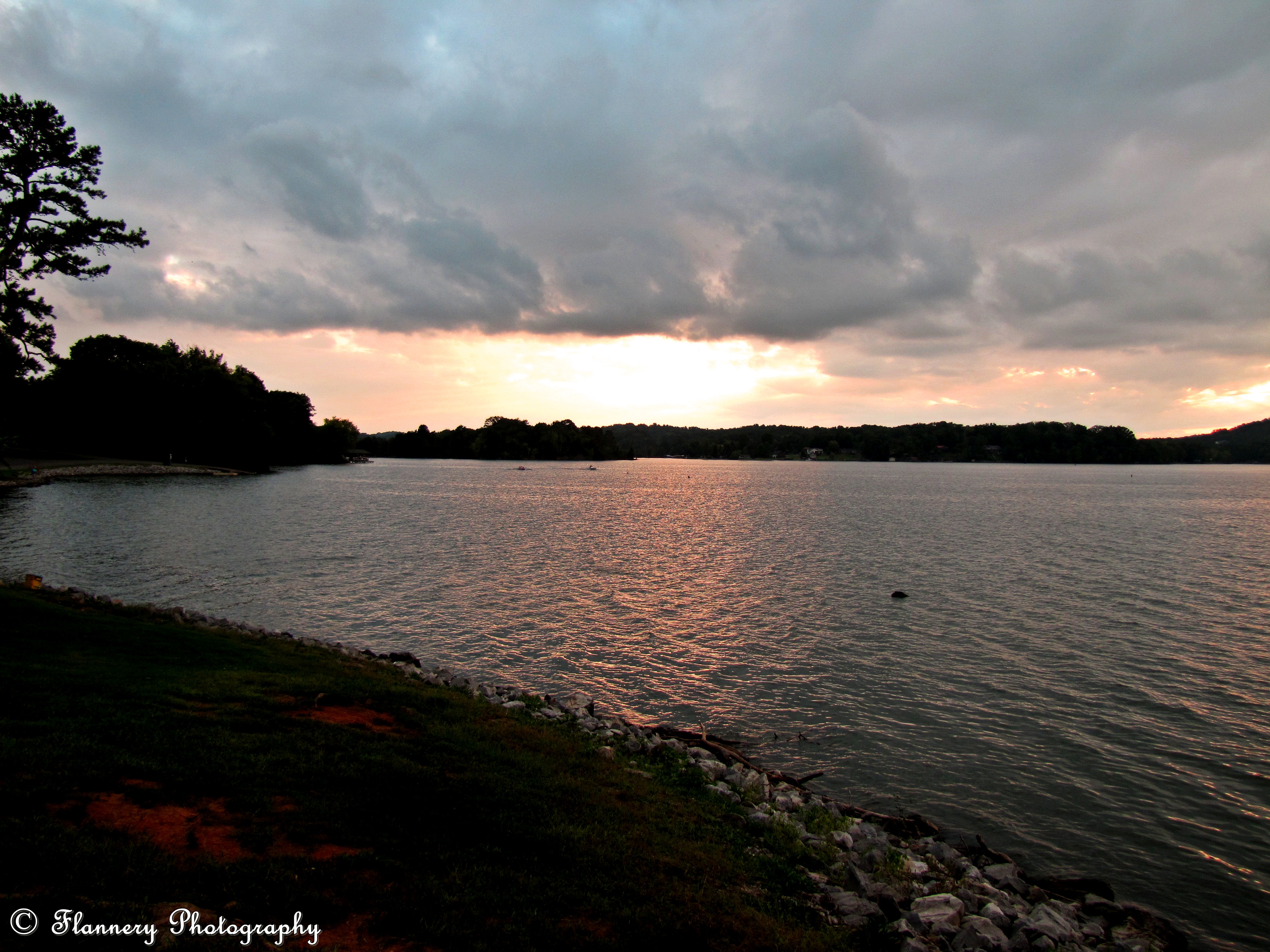
Sunset at Louisville Point Park September 16, 2014
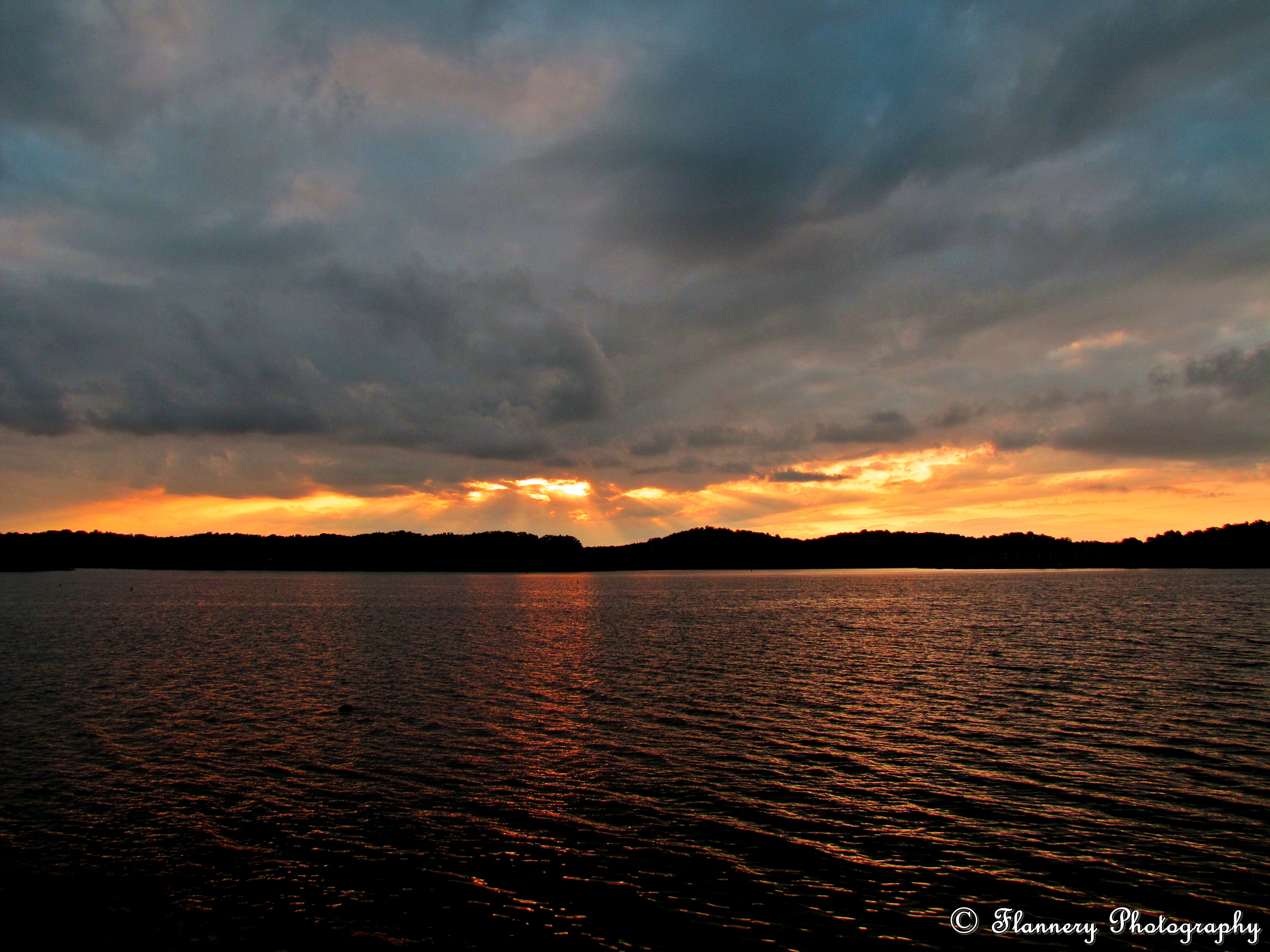
Sunset at Louisville Point Park September 16, 2014

Tellico November 2014

Sunset at Louisville Point Park September 16, 2014

IMG_1645.jpg

Passing time. #fishing #tnlakes #tellicolake #tennesseeriver #sunset #clouds

2009-09-22_Loudon Lake__MG_3834
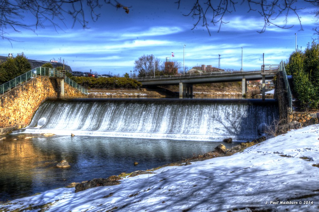
Bicentennial Greenbelt Park Dam

Cliff Jumping [Nokia Lumia 1020]
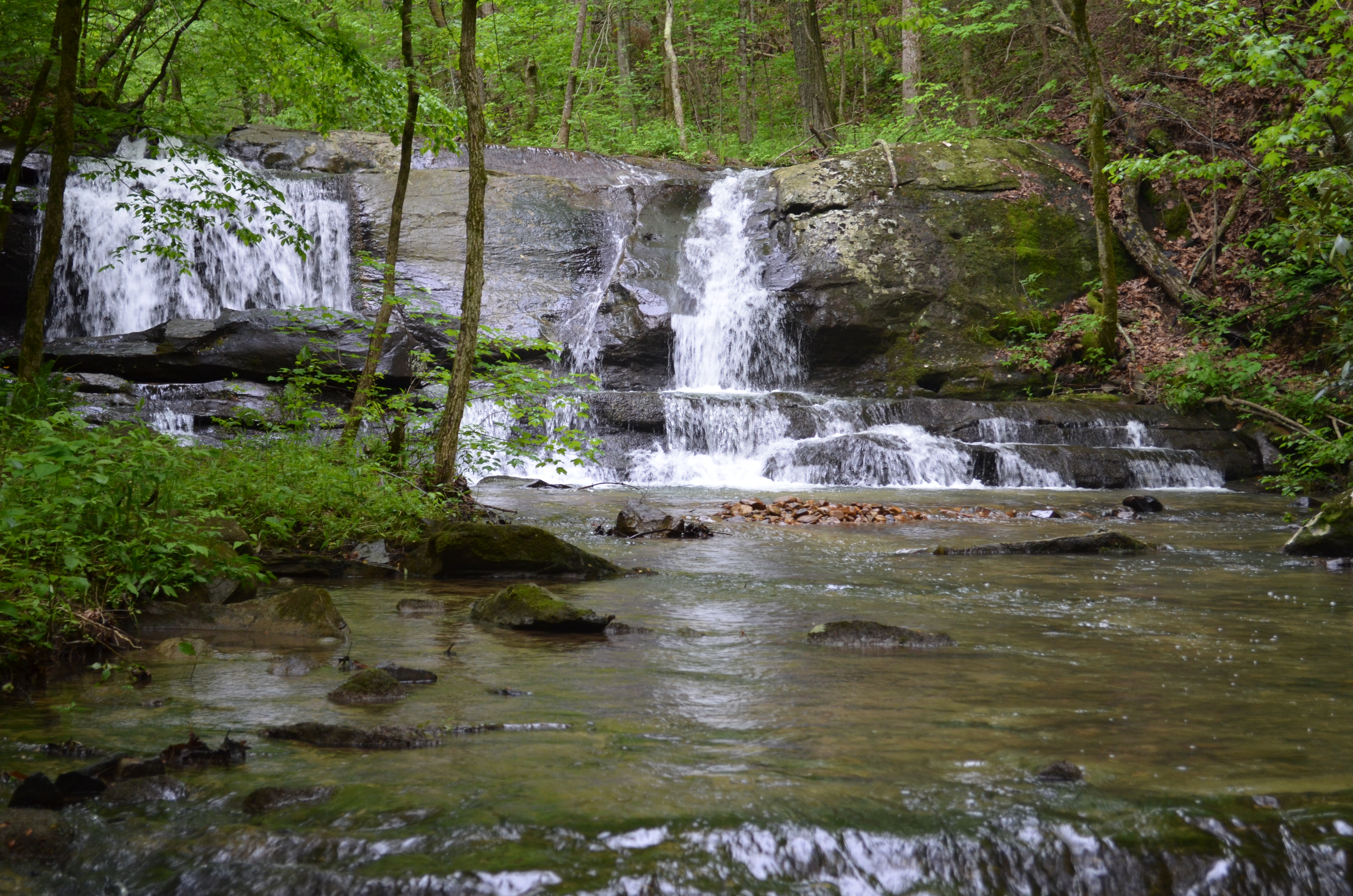
Waterfall Along The Road
Topographic Map of Marble Hill Rd, Friendsville, TN, USA
Find elevation by address:

Places near Marble Hill Rd, Friendsville, TN, USA:
1050 Marble Hill Rd
1052 Marble Hill Rd
1054 Marble Hill Rd
1056 Marble Hill Rd
1220 Marble Hill Rd
1248 Marble Hill Rd
1475 Marble Hill Rd
7615 Meadow Rd W
Meadow Rd, Friendsville, TN, USA
Friendsville
Lane Dr, Friendsville, TN, USA
112 Shawnee Ln
Friendsville, TN, USA
Rest Camp Road
150 Bluffton Rd
1120 Panorama Dr
TN-95, Greenback, TN, USA
Beals Chapel Rd, Lenoir City, TN, USA
3231 Reiley Dr
1333 Woodside Park Dr
Recent Searches:
- Elevation of Corso Fratelli Cairoli, 35, Macerata MC, Italy
- Elevation of Tallevast Rd, Sarasota, FL, USA
- Elevation of 4th St E, Sonoma, CA, USA
- Elevation of Black Hollow Rd, Pennsdale, PA, USA
- Elevation of Oakland Ave, Williamsport, PA, USA
- Elevation of Pedrógão Grande, Portugal
- Elevation of Klee Dr, Martinsburg, WV, USA
- Elevation of Via Roma, Pieranica CR, Italy
- Elevation of Tavkvetili Mountain, Georgia
- Elevation of Hartfords Bluff Cir, Mt Pleasant, SC, USA