Elevation of Marawi City Hall, Marawi City, Lanao del Sur, Philippines
Location: Philippines > Autonomous Region In Muslim Mindanao > Lanao Del Sur > Marawi City >
Longitude: 124.284482
Latitude: 8.0011653
Elevation: 715m / 2346feet
Barometric Pressure: 93KPa
Elevation Map:
Satellite Map:
Related Photos:
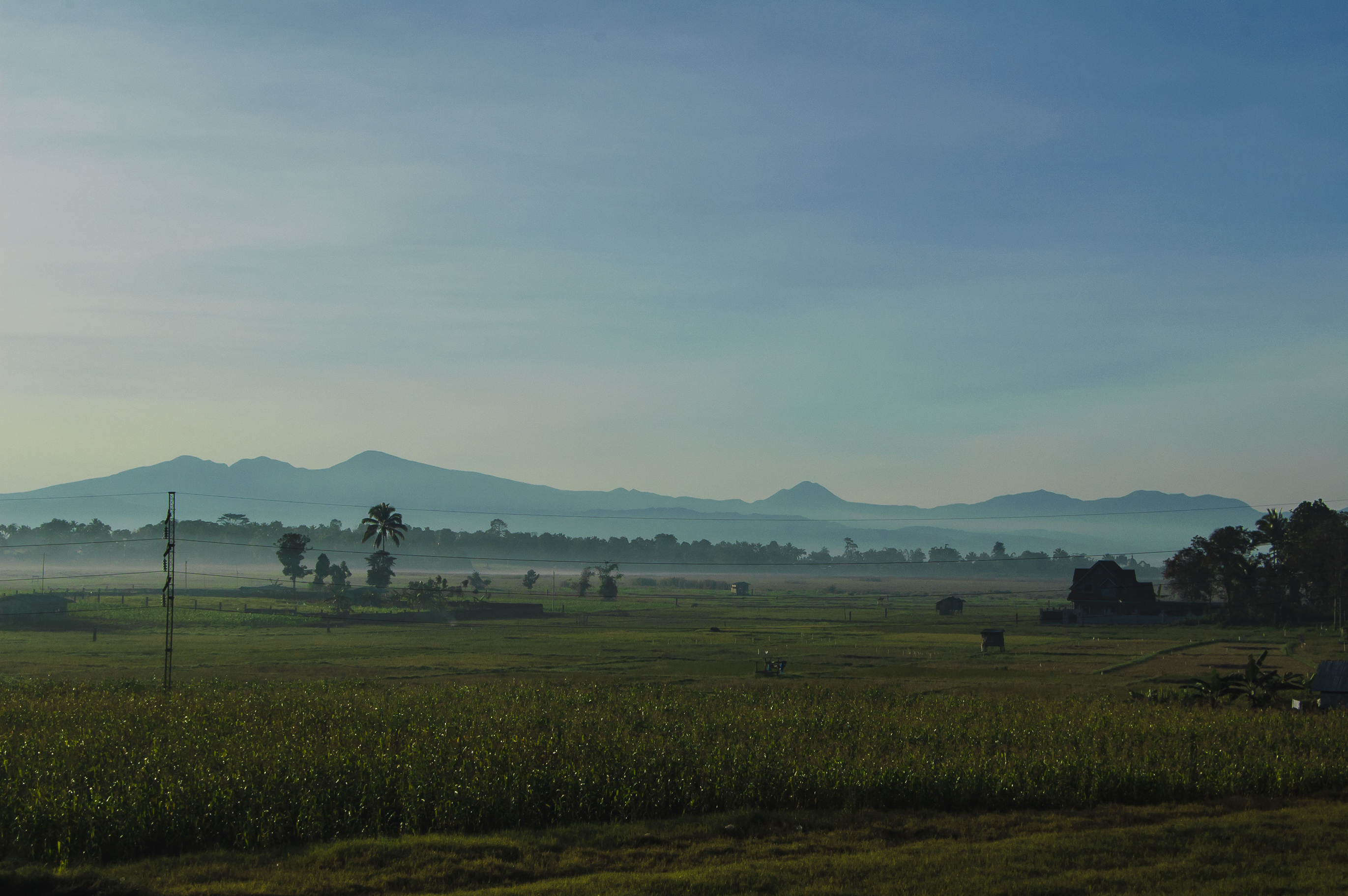
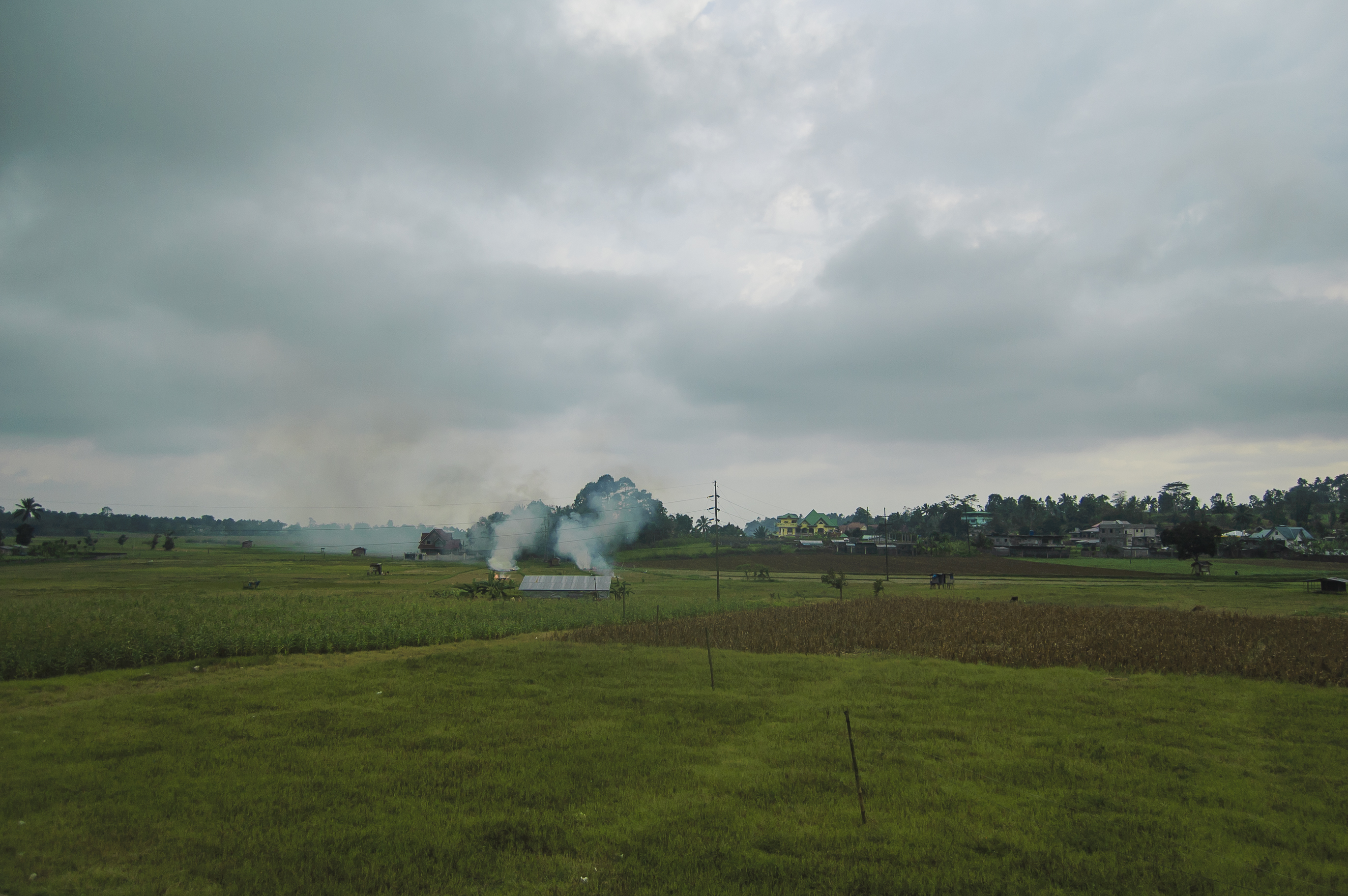
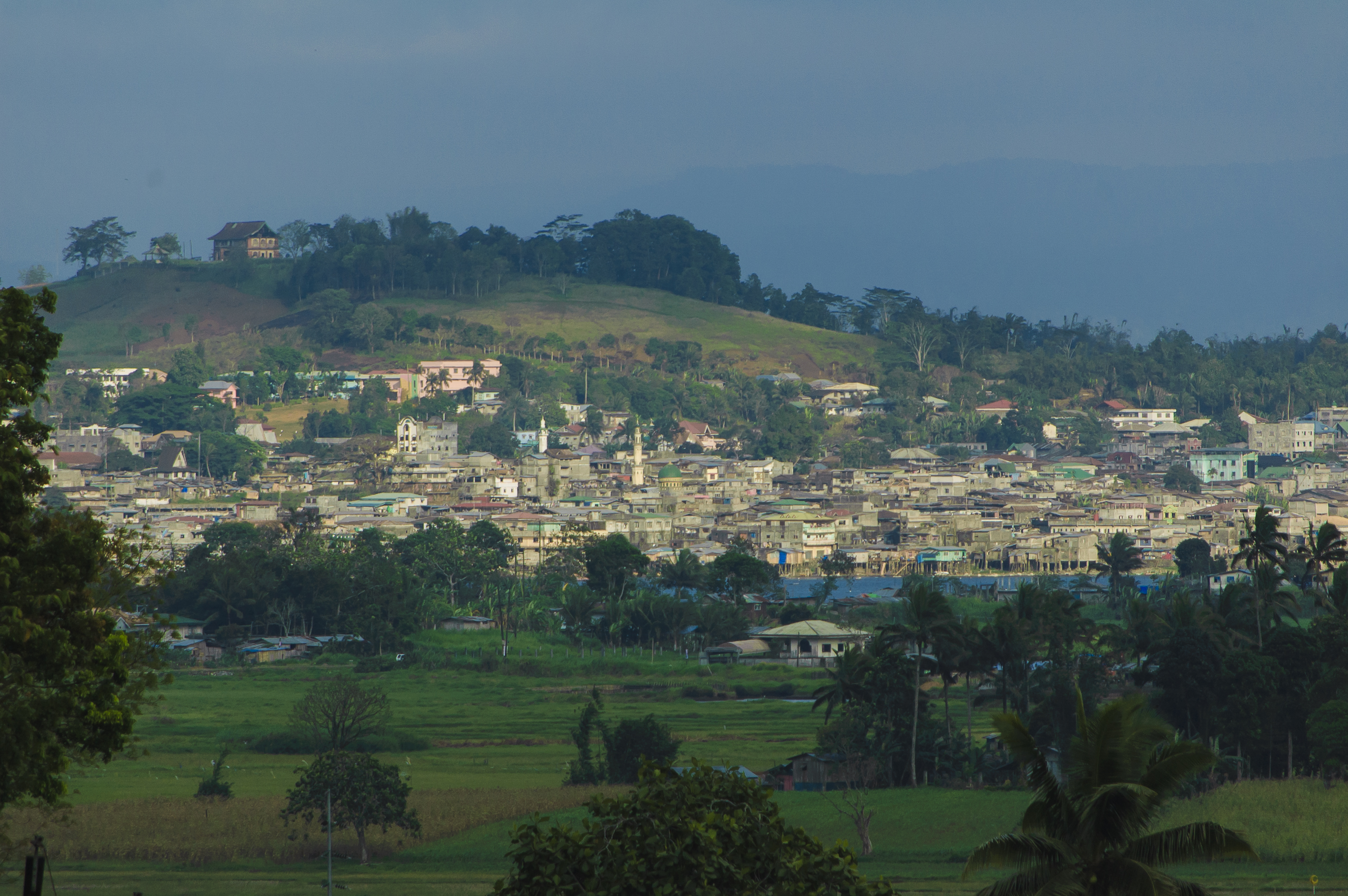
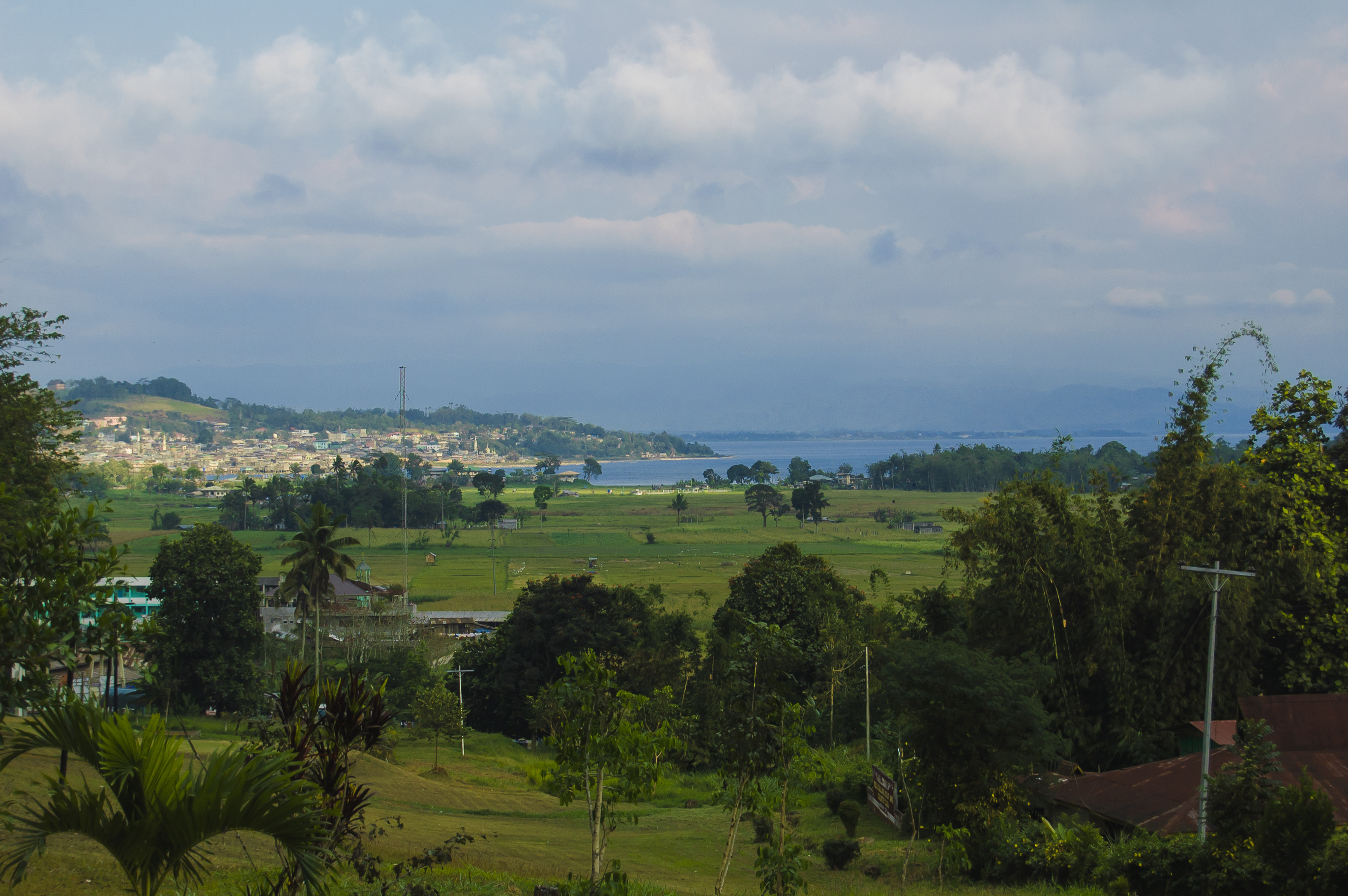
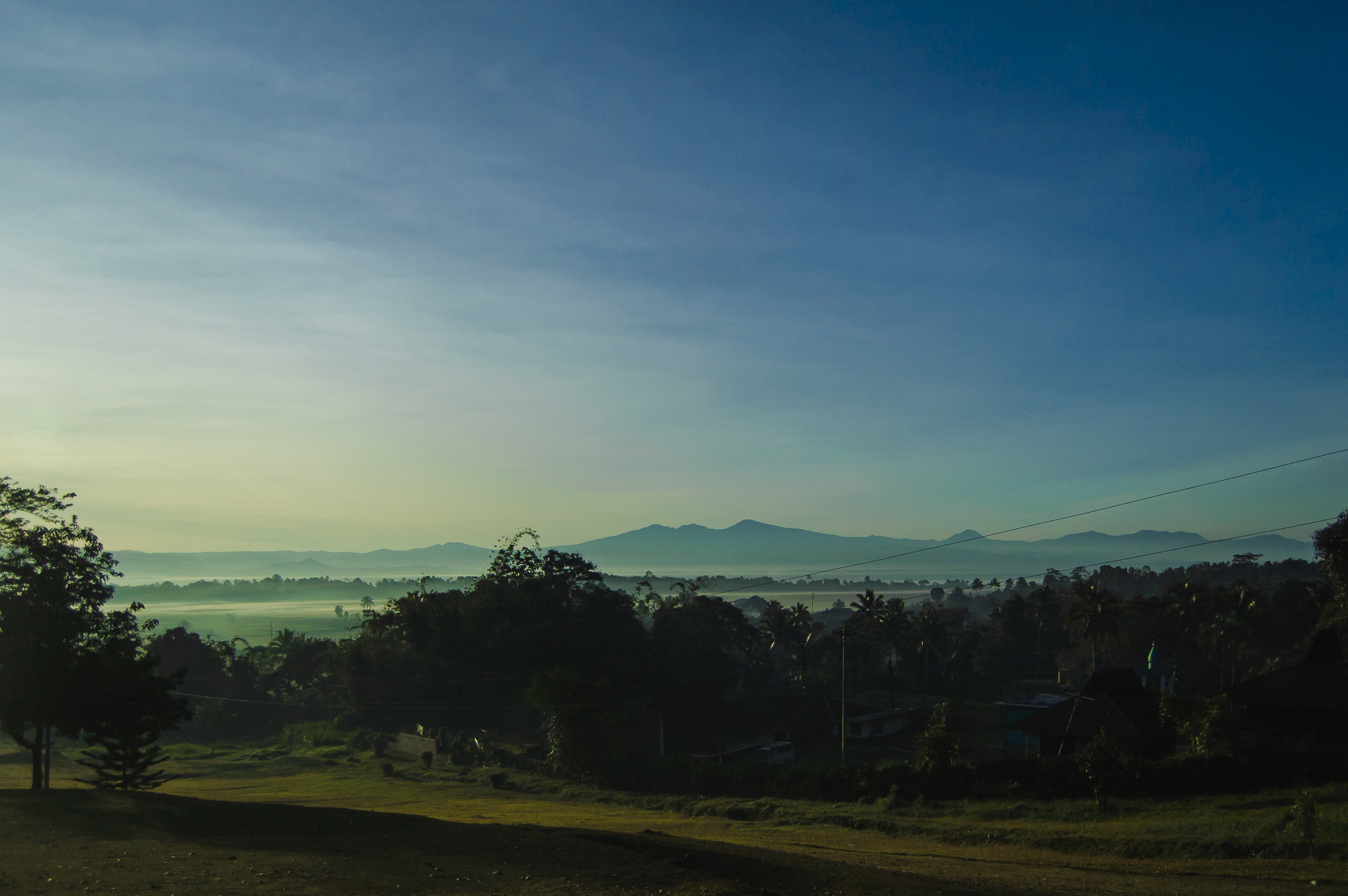
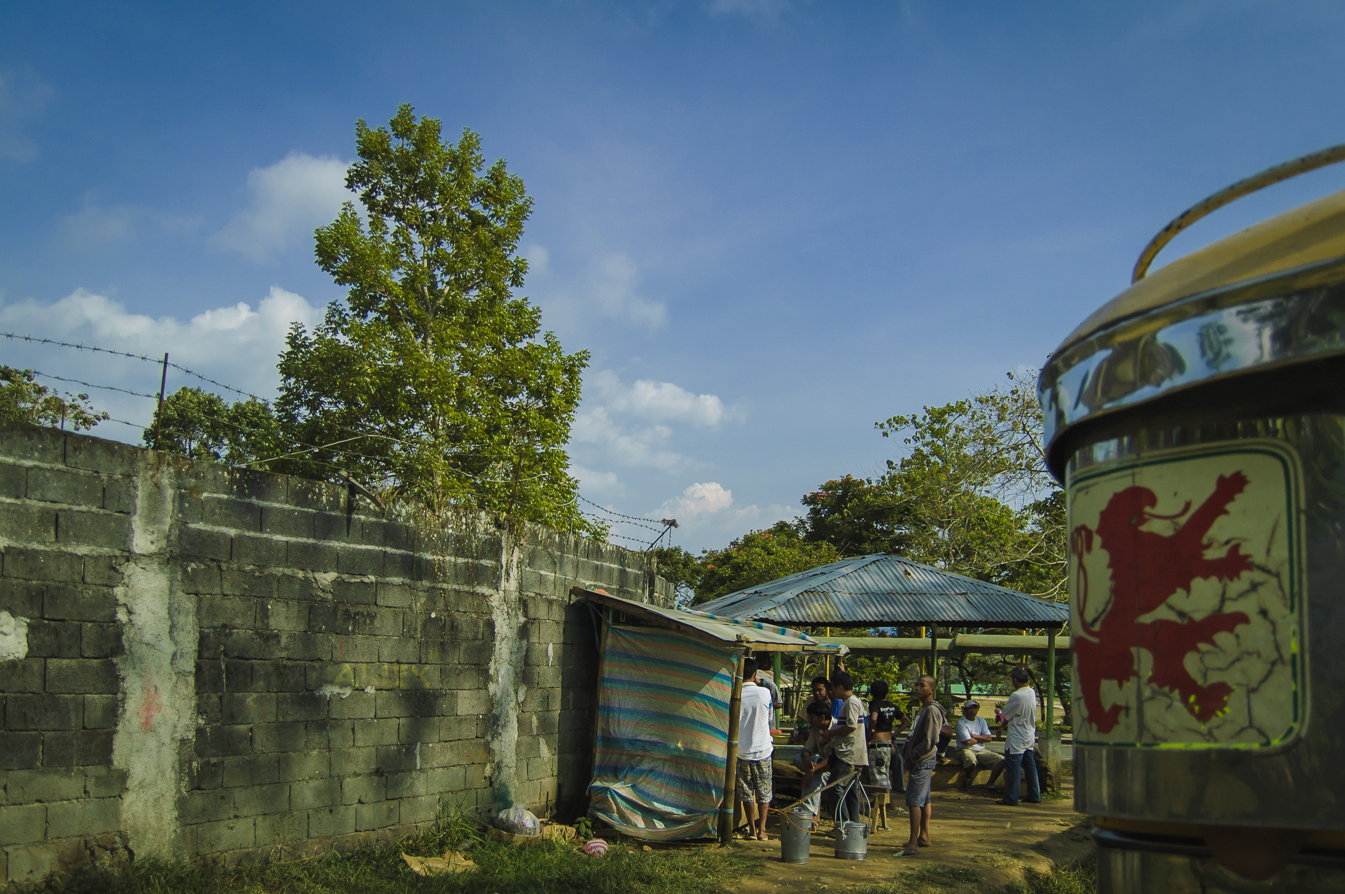
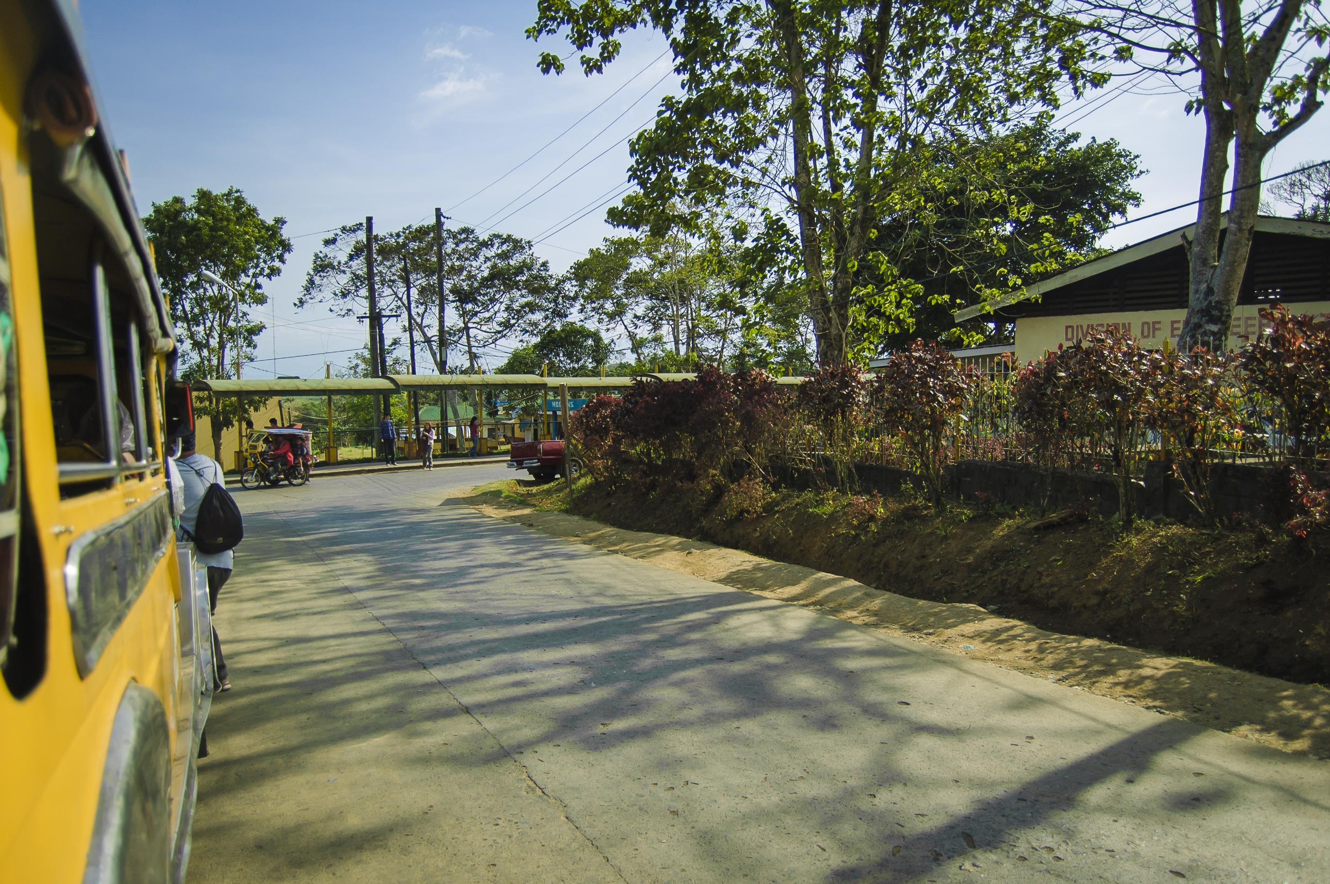
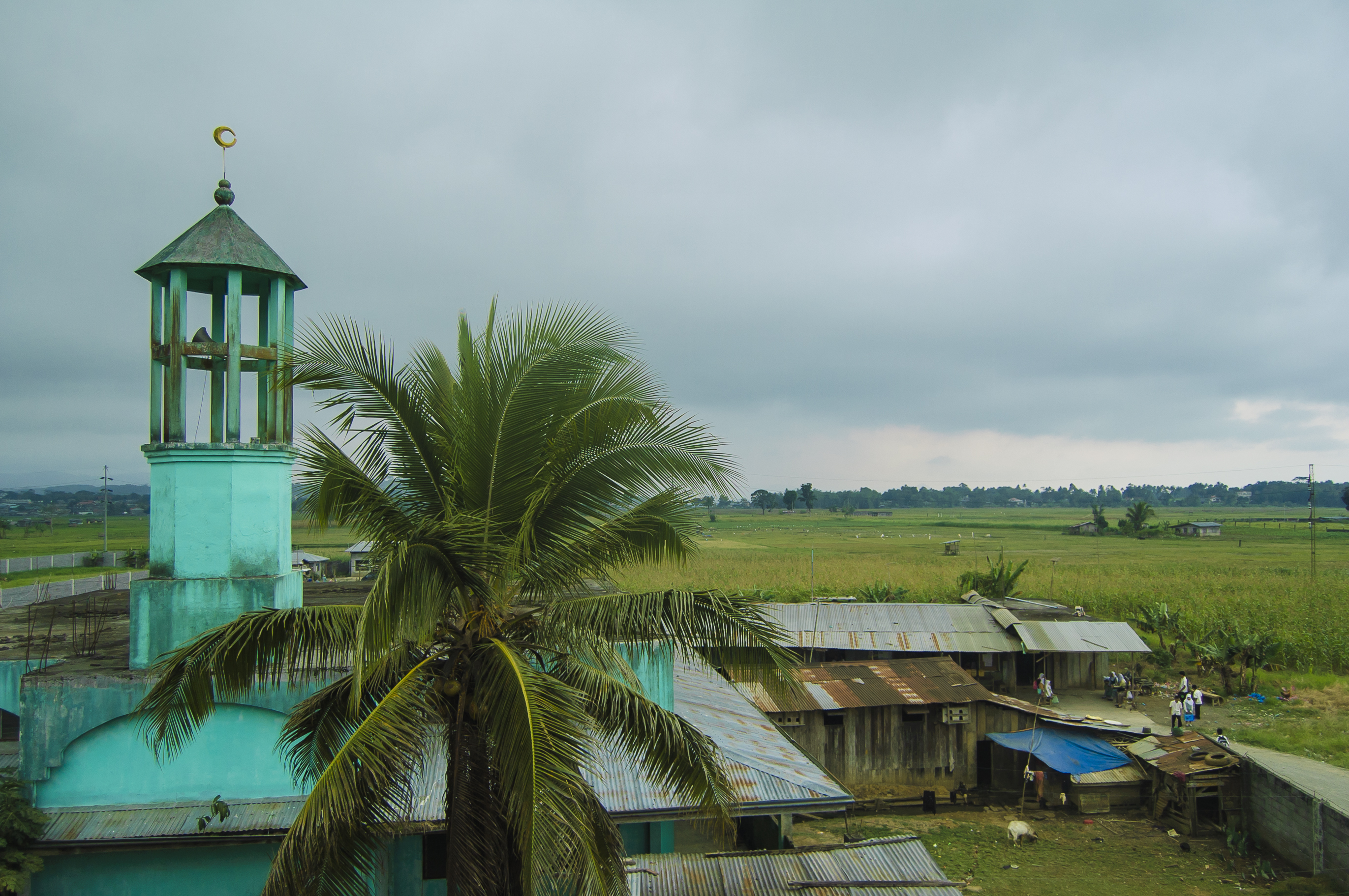
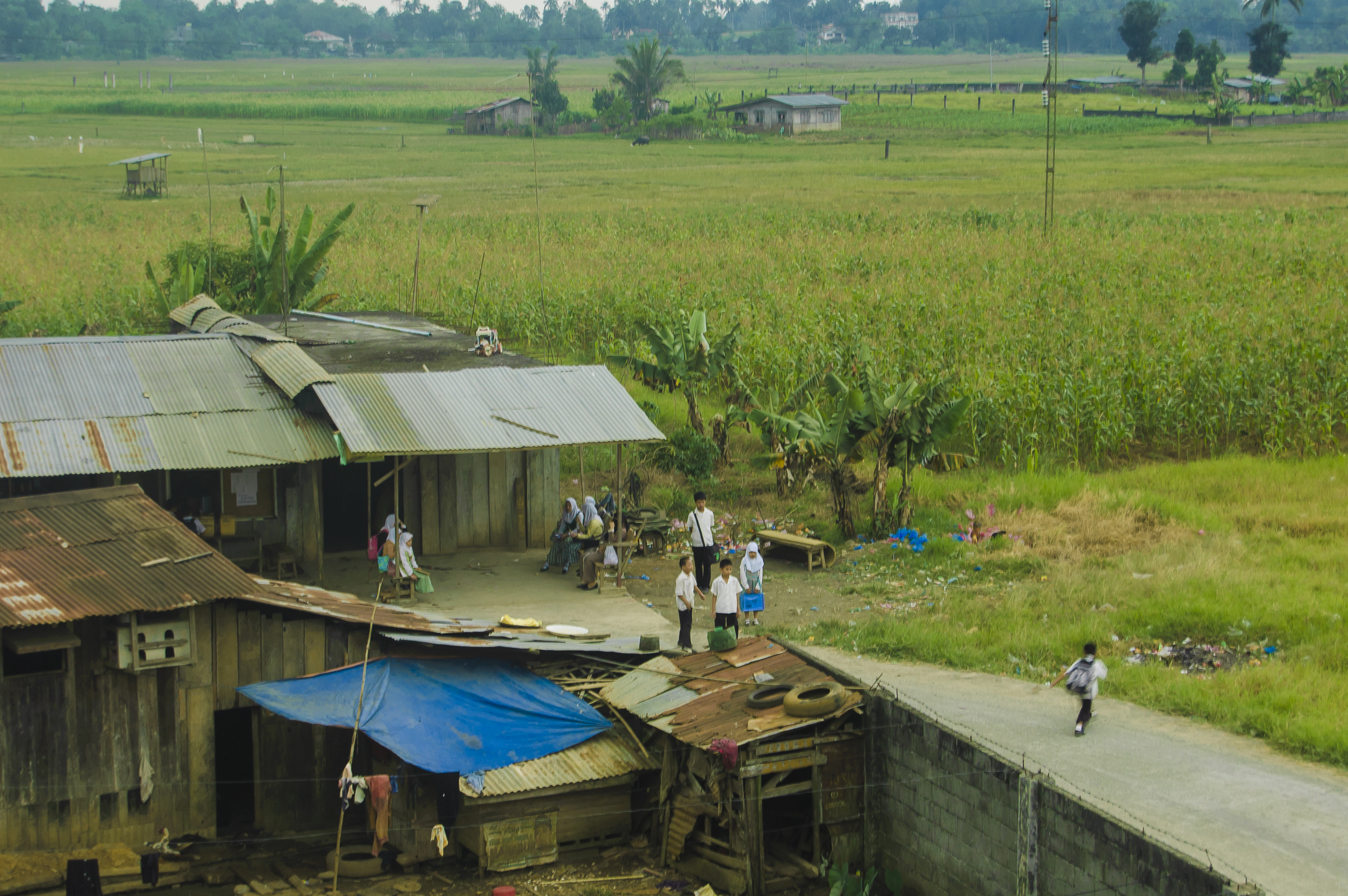
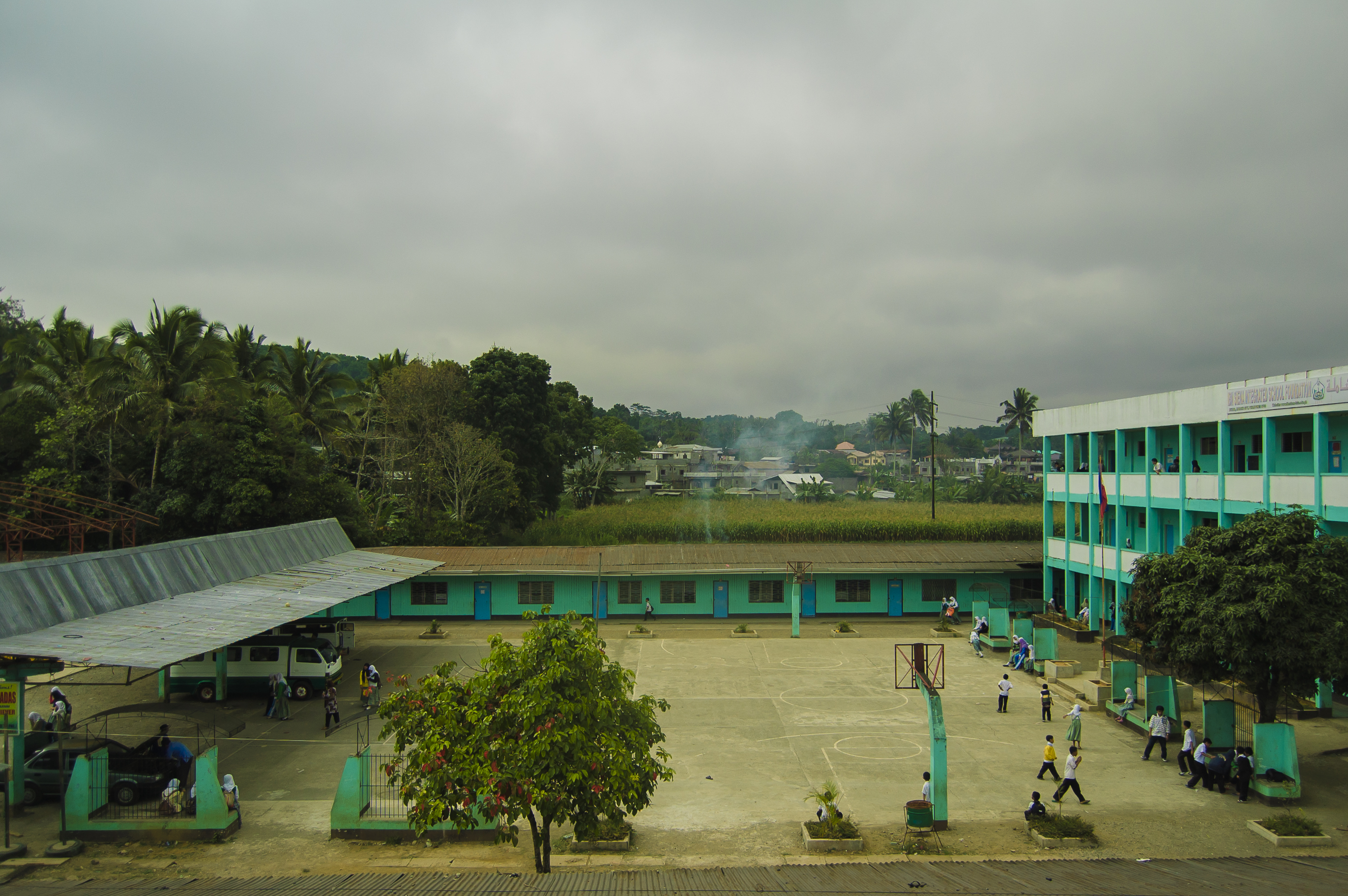
marawi | march 2010
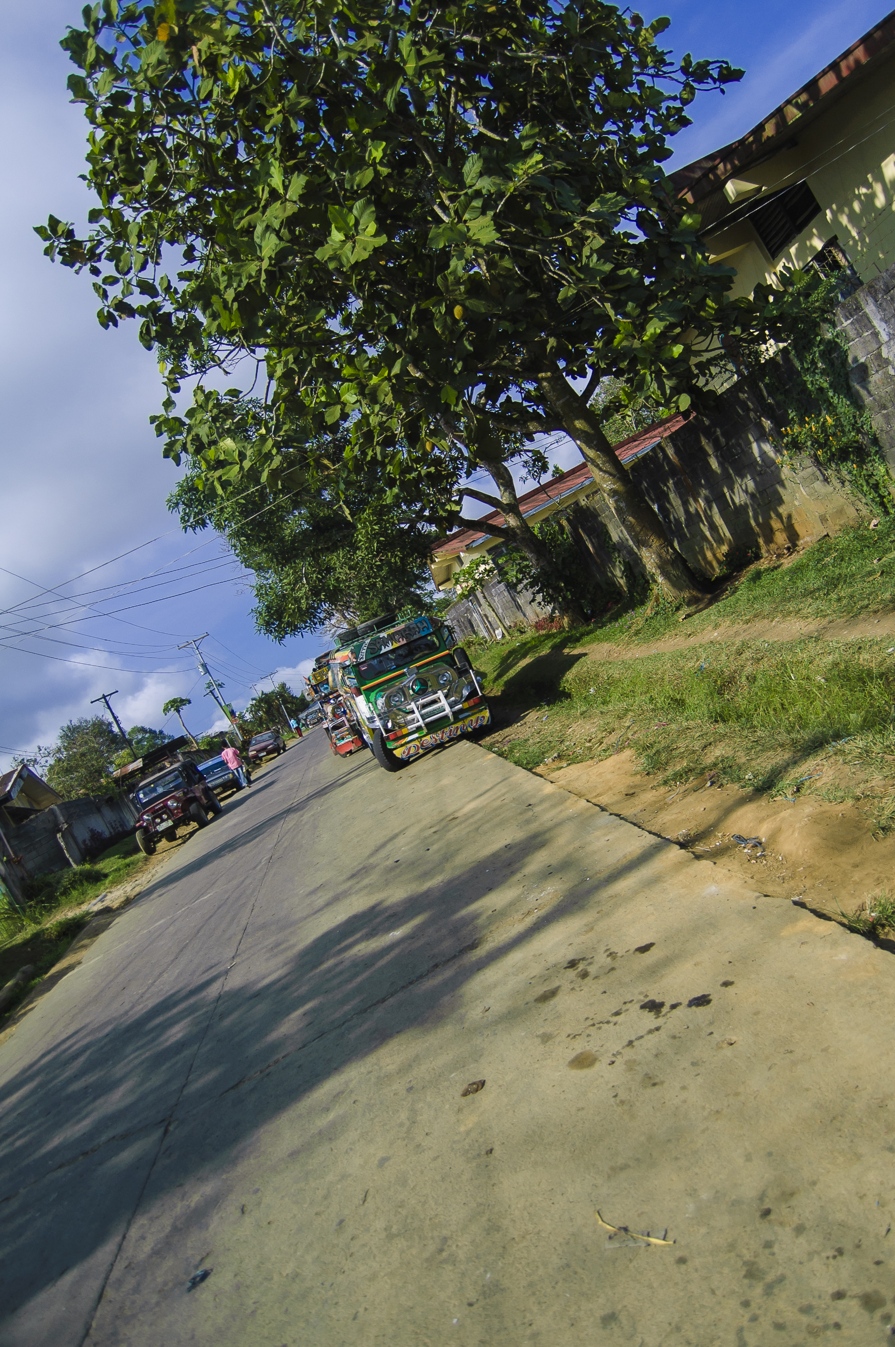
marawi mar 2010
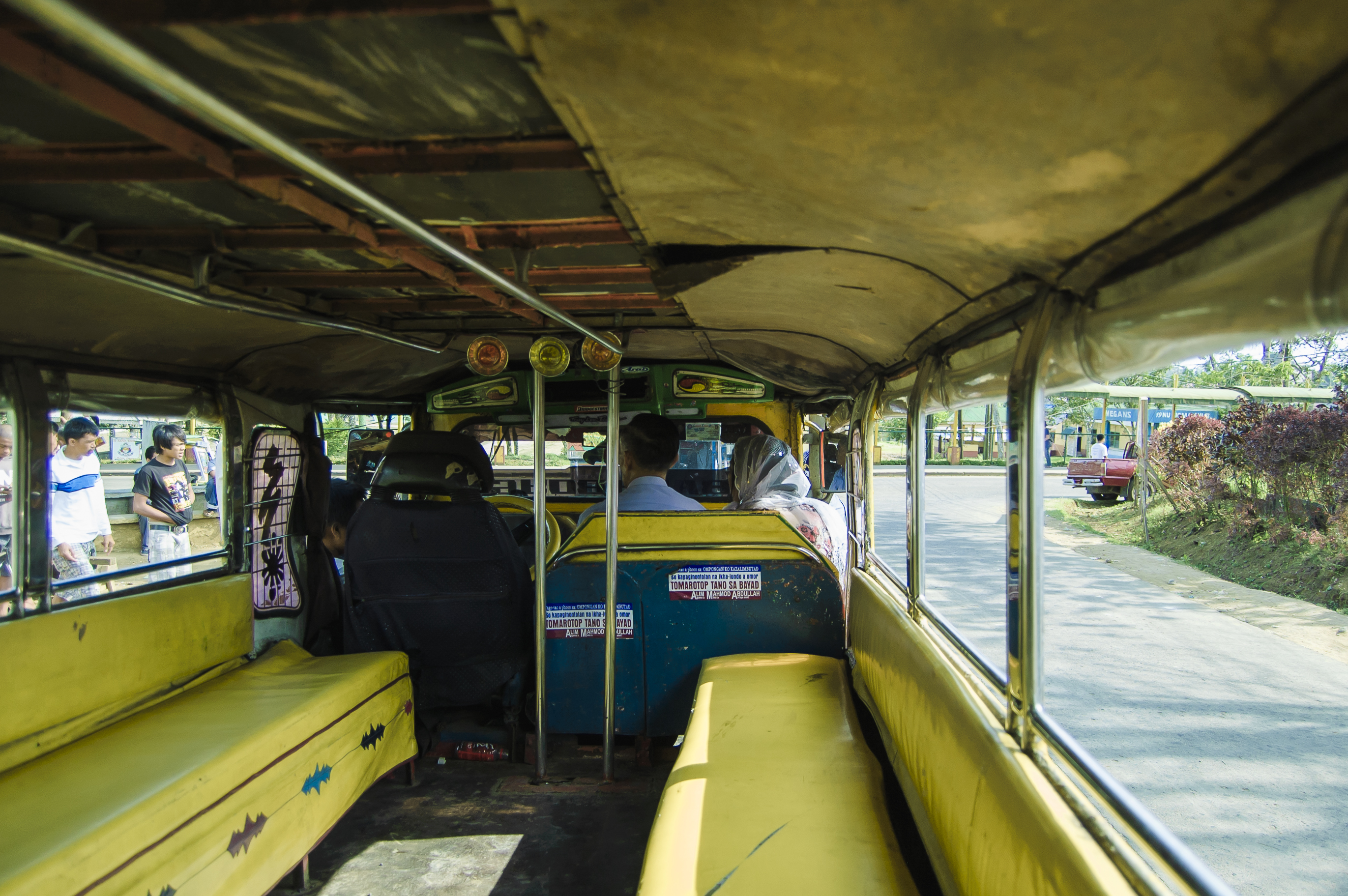
marawi mar 2010
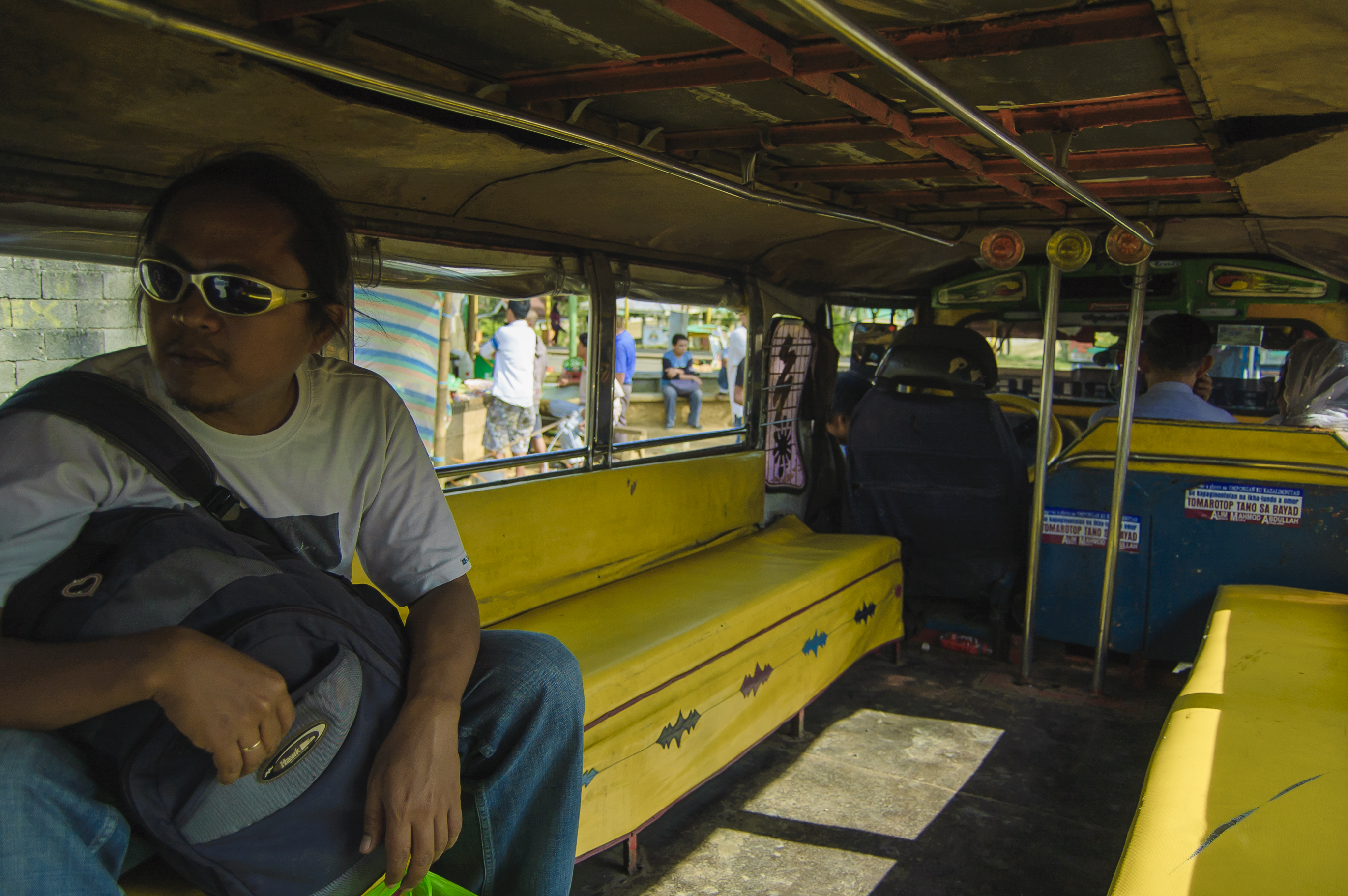
marawi mar 2010

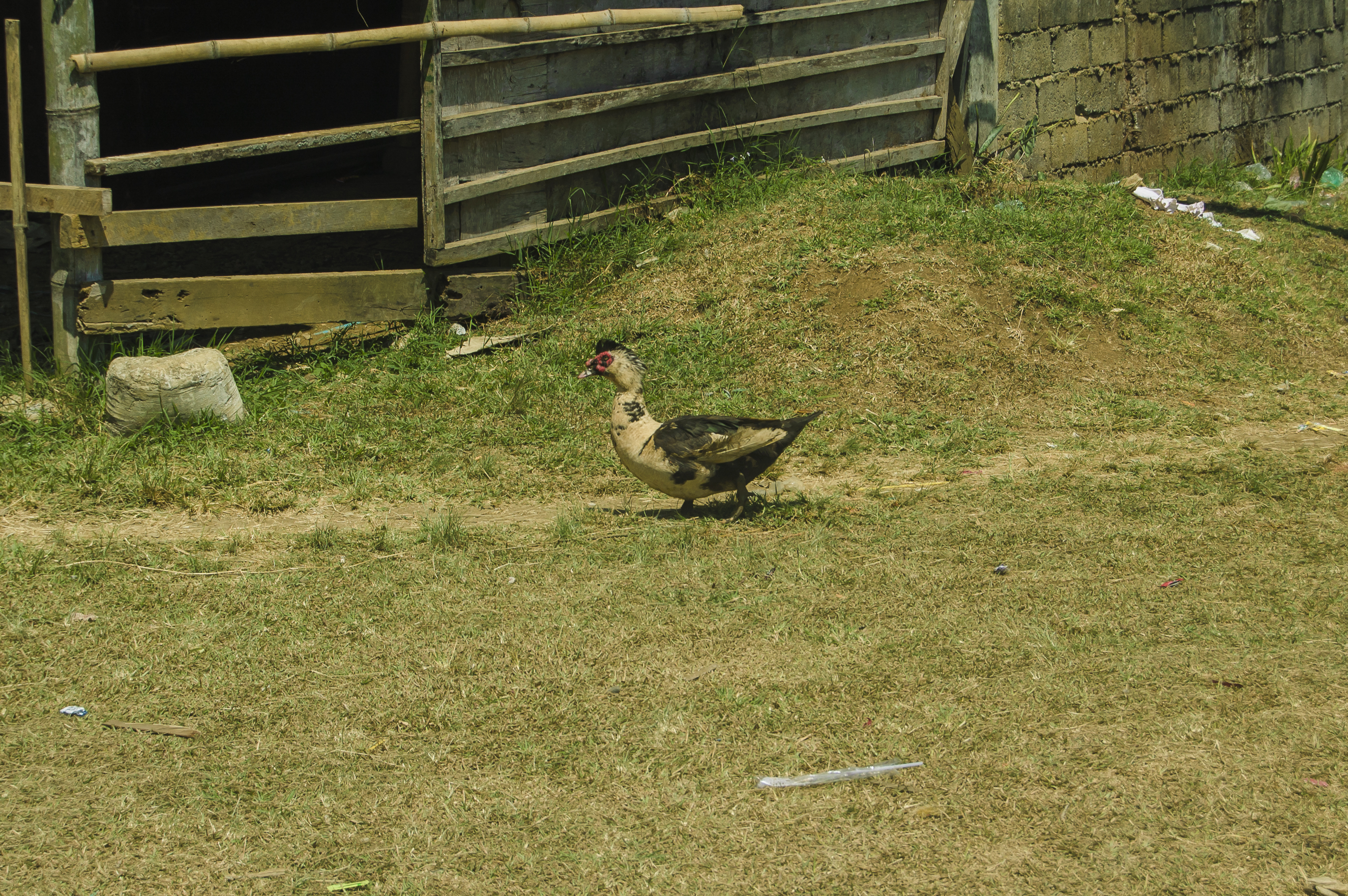
marawi | march 2010
marawi mar 2010

marawi mar 2010

marawi mar 2010
marawi mar 2010
marawi mar 2010
marawi mar 2010
marawi mar 2010
marawi mar 2010
marawi mar 2010
marawi mar 2010

marawi mar 2010

marawi mar 2010
marawi mar 2010
marawi | march 2010

#oyea

#oyea
Topographic Map of Marawi City Hall, Marawi City, Lanao del Sur, Philippines
Find elevation by address:

Places near Marawi City Hall, Marawi City, Lanao del Sur, Philippines:
Marawi City Fire Station
Marawi City
Mindanao State University
Bacong
Poblacion
Saguiaran
Marantao
Mulondo
Maria Cristina
Newtech Pulp, Inc.
Maria Cristina Falls
Lanao Del Sur
Pala-o
Palao
Iligan City Hall
Iligan City
Port Of Iligan
Saray-tibanga
Mandulog
Mindanao State University - Iligan Institute Of Technology
Recent Searches:
- Elevation of SW 57th Ave, Portland, OR, USA
- Elevation of Crocker Dr, Vacaville, CA, USA
- Elevation of Pu Ngaol Community Meeting Hall, HWHM+3X7, Krong Saen Monourom, Cambodia
- Elevation of Royal Ontario Museum, Queens Park, Toronto, ON M5S 2C6, Canada
- Elevation of Groblershoop, South Africa
- Elevation of Power Generation Enterprises | Industrial Diesel Generators, Oak Ave, Canyon Country, CA, USA
- Elevation of Chesaw Rd, Oroville, WA, USA
- Elevation of N, Mt Pleasant, UT, USA
- Elevation of 6 Rue Jules Ferry, Beausoleil, France
- Elevation of Sattva Horizon, 4JC6+G9P, Vinayak Nagar, Kattigenahalli, Bengaluru, Karnataka, India